
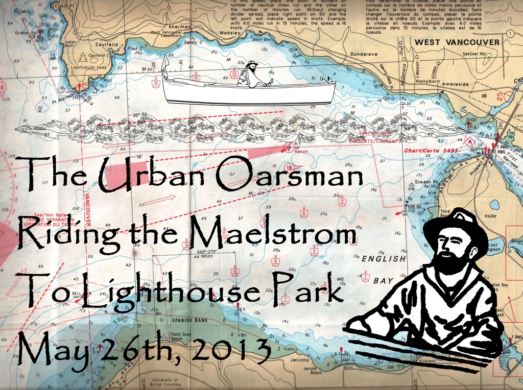
Click on the picture for larger format.
When the tide is ebbing out of Burrard Inlet, there is quite a current running out of harbour from Lions Gate Bridge. The current flows along the West Vancouver Shore, tapering off near Lighthouse Park. The maximum predicted current for today is 5.5 kts at 10:29 this morning. Here is the tide table for Point Atkinson from the Fisheries and Oceans Canada site:
2013-05-26(Sunday) |
||
|---|---|---|
Time |
Height |
|
PDT |
(m) |
(ft) |
00:53 |
3.2 |
10.5 |
05:51 |
4.5 |
14.8 |
13:09 |
0.2 |
0.7 |
20:31 |
4.7 |
15.4 |
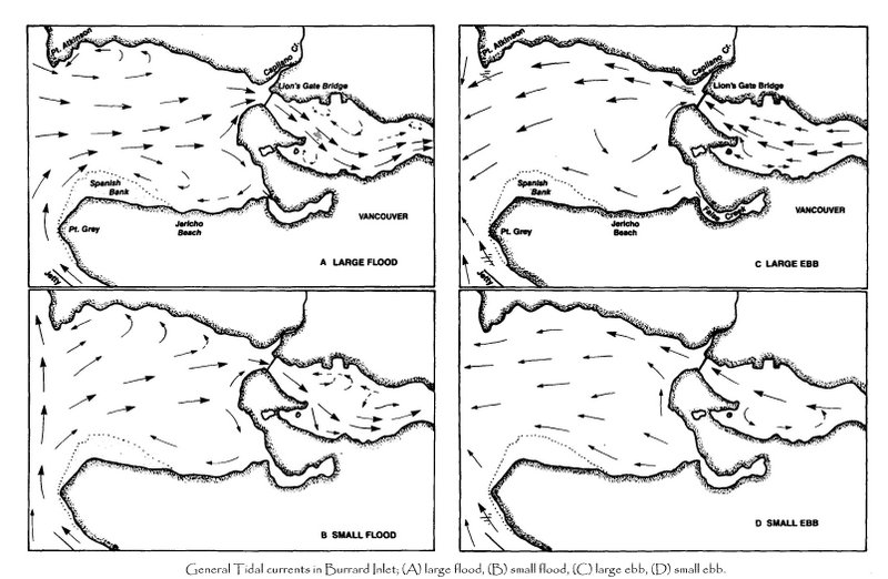
I intend to ride the current out to Lighthouse Park and then ride the flood back into the harbour. I will launch around 10:00am and start the return trip from Point Atkinson when the tide eases. I will row along the shore in the back eddies until the tide begins to flood and then row out into the harbour to ride the current back to Hollyburn Sailing Club. Here is an overview of the currents flow:
At 9:30am I put Gwragedd Annwn in at HSC and row out into the Maelstrom.
The current speed is between 4.25 and 5 knots.
The waves are not too large today. There is no oncoming (Westerly) wind to make them higher. I have been out here when the surf kayaks are playing in the current. Today is not the day for them to be out, too tame. A good day to row, not to surf.
 |
| Too flat for the Surf Kayaks to play in. |
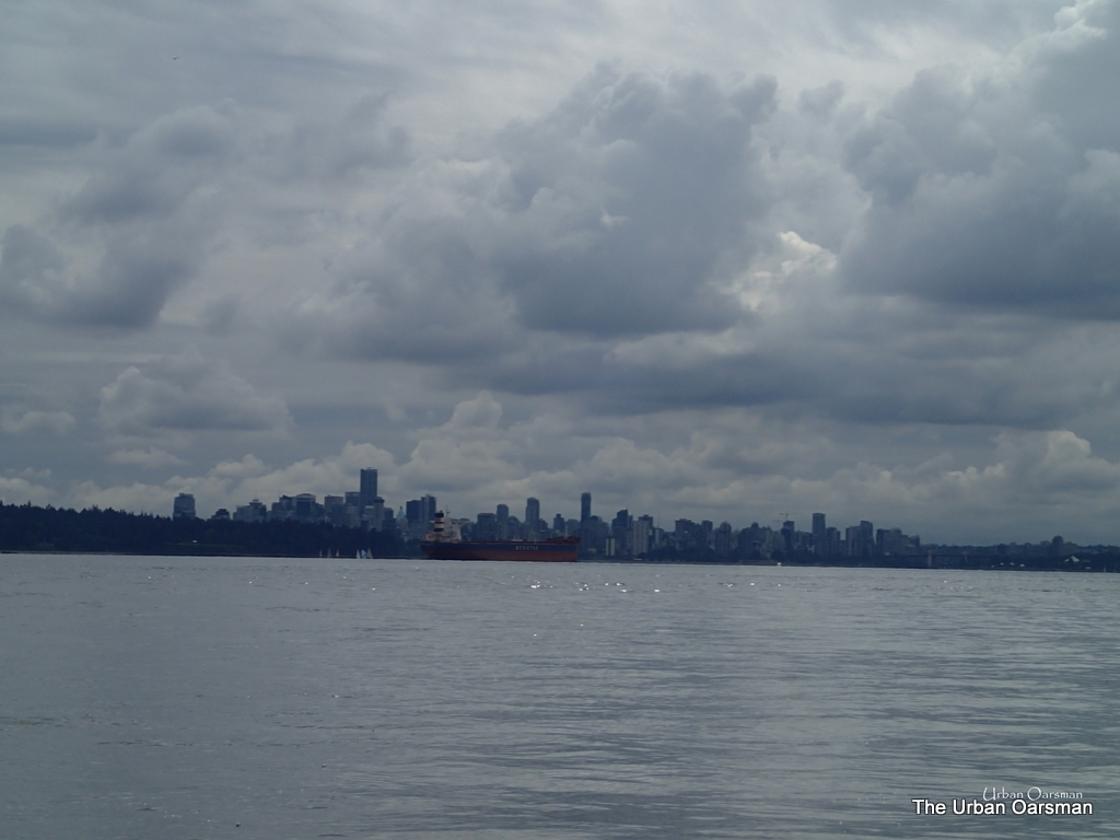
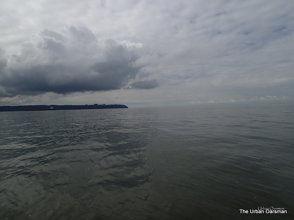
Vancouver always looks good with a cloudy, not rainy sky.
I have rowed the current almost four and one-half nautical miles in less than forty minutes. Between my boat speed and the current speed, I am doing about 6.75 knots.
|
|
Vancouver in the distance |
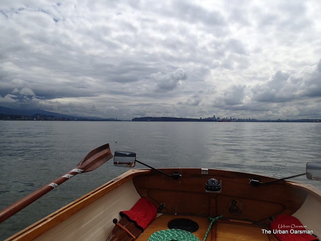
Leaving Vancouver in the distance, the Current (and my oars) push Gwragedd Annwn towards Lighthouse Park, Point Atkinson and Howe Sound.
|
|
To the South, Point Grey |
Looking South towards Point Grey. Almost at the outer edge of English Bay.
|
|
West. Vancouver Island in the distance |
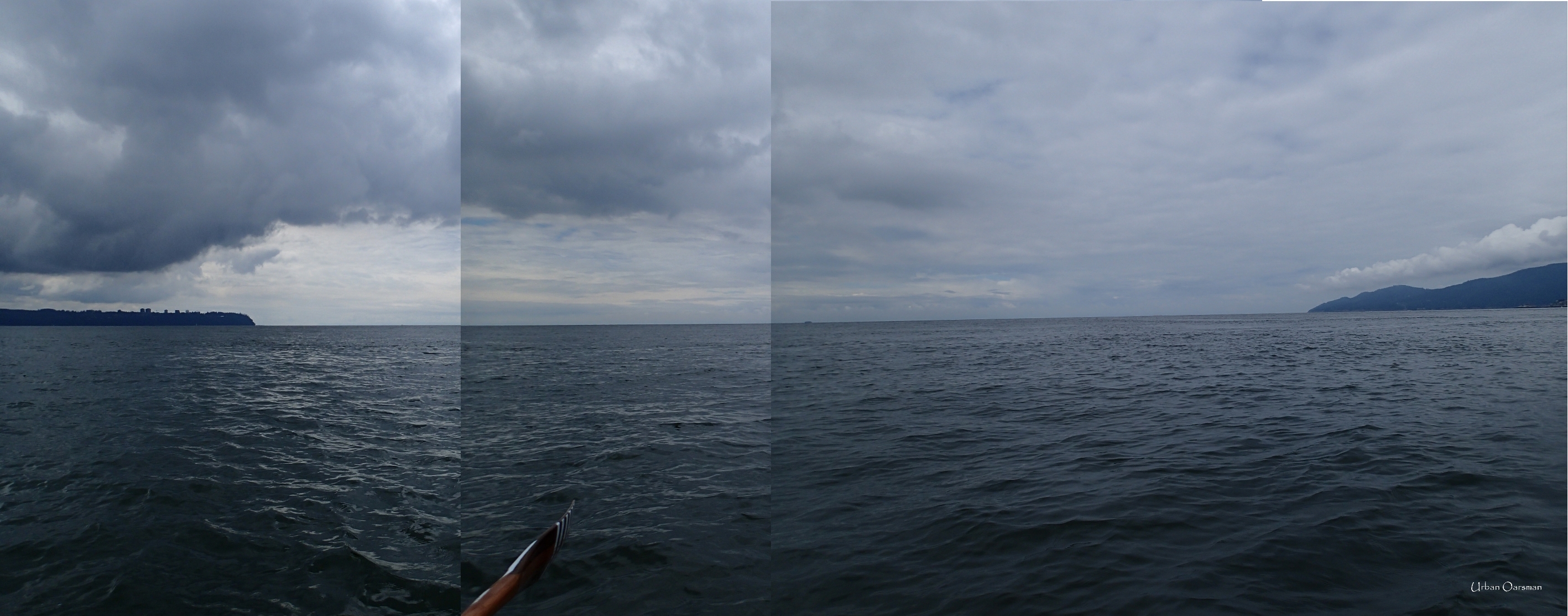
This is a cobbled together picture looking West towards Vancouver Island. It is pretty hard to get lost in English Bay unless you are going West. North, South or East will bring you to a shore rather quickly, but, if you go West, it is thirty plus nautical miles until you hit a shore. In a fog, North, South and East I would row for an hour or two to find a shore. West? I would row until I hit the Island. Would be quite the row.
|
|
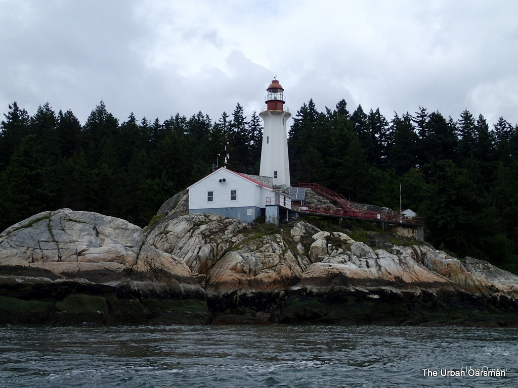
The Point Atkinson Lighthouse |
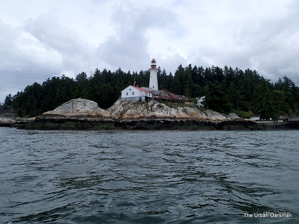
Point Atkinson Lighthouse. This is the view looking North from the water. Needs painting.
|
|
Passage Island, Howe Sound. Sewell’s tour boat. |
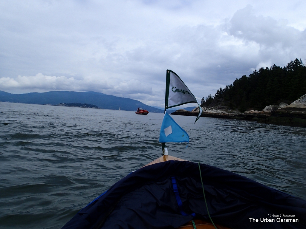
I meet a tour boat from Sewell’s out for a quick spin around Howe Sound.
|
|
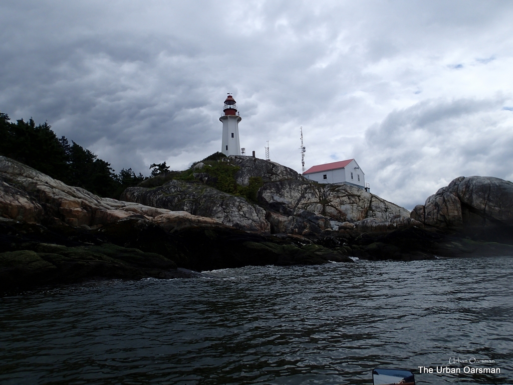
Point Atkinson Lighthouse |
A closer look at the Lighthouse. This is almost the same view as is being used in the “Cedar Cove” tv show ad spots.
|
|
Sewell’s Tour boat. |
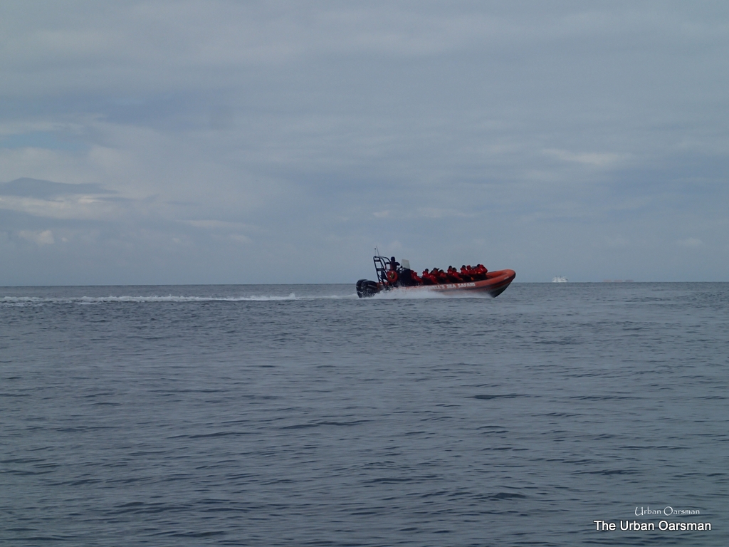
The tour group speeds off, hoping to find something to look at before the boat & motors scare if off.
|
|
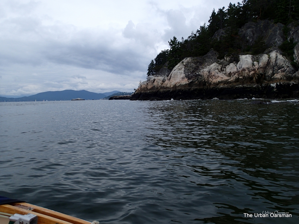
Point Atkinson Lighthouse. |
Looking East towards the Lighthouse. Not a lot of hikers around the park today.
|
|
Looking up Howe Sound. Grebe Islets. |
Looking North up Howe Sound. Grebe Islets are to left of centre of the picture.
|
|
Searchlight Emplacement for WWII Harbour defence. |
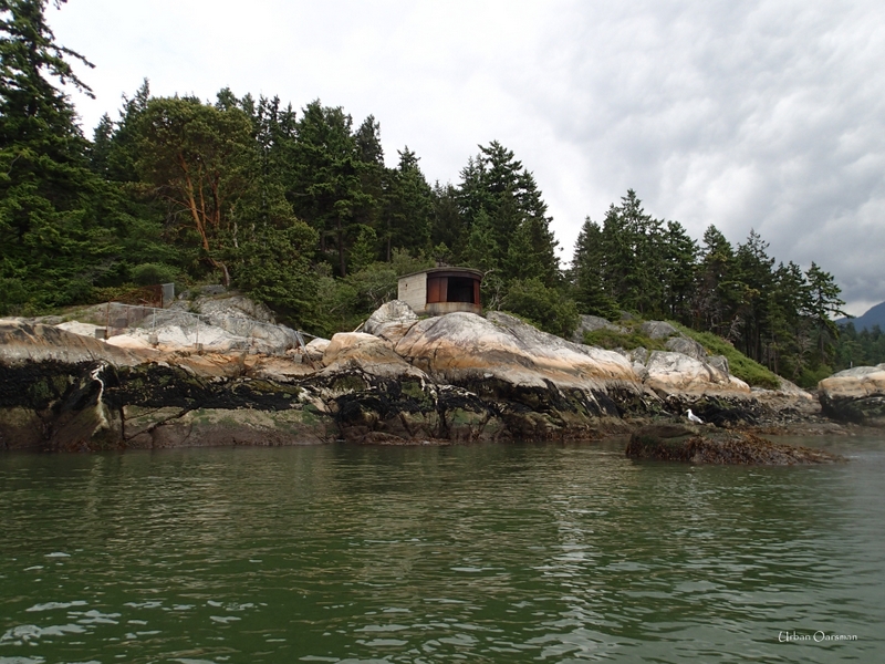
Harbour Defence from WWII. There are four of these structures around English Bay that I know of. One is here at Lighthouse, two are at Point Grey and one is at Stanley Park by Siwash Rock.
|
|
Searchlight Emplacement |
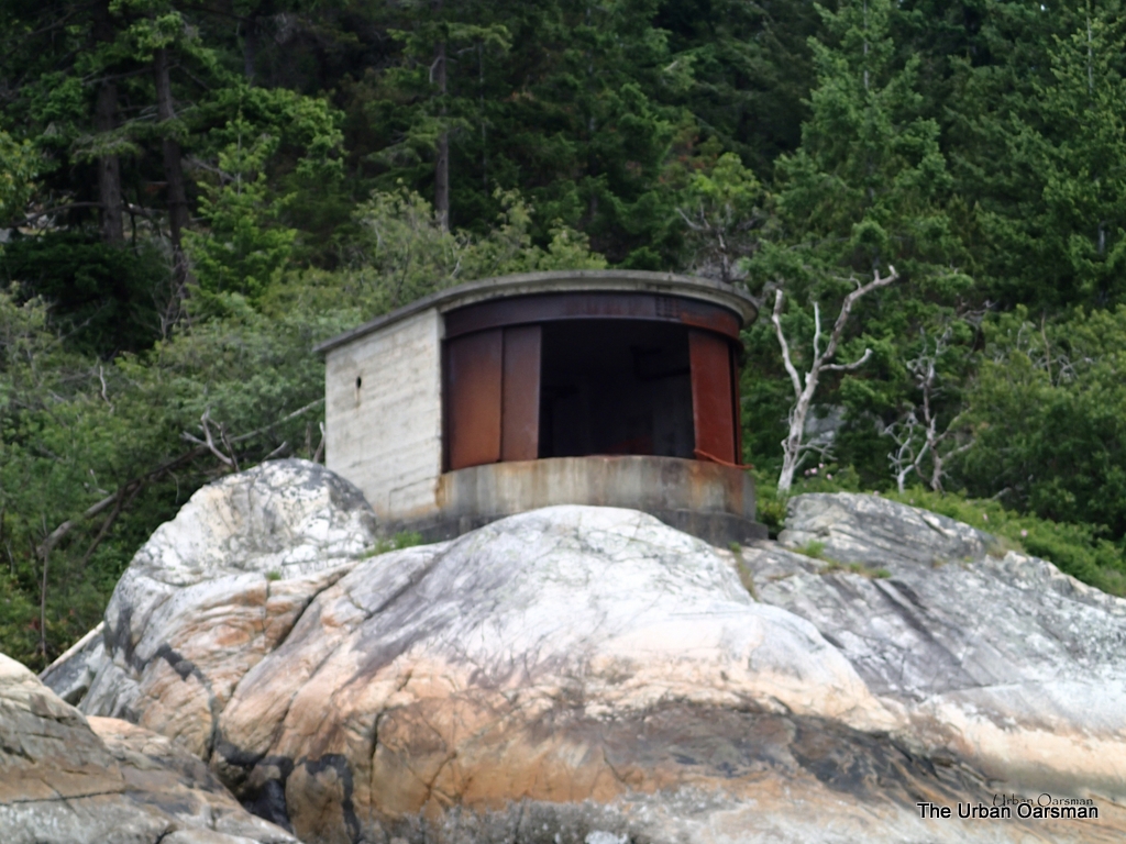
Close-up view of the searchlight emplacement. I wonder what type of gun Lighthouse park had. Did it ever fire?
|
|
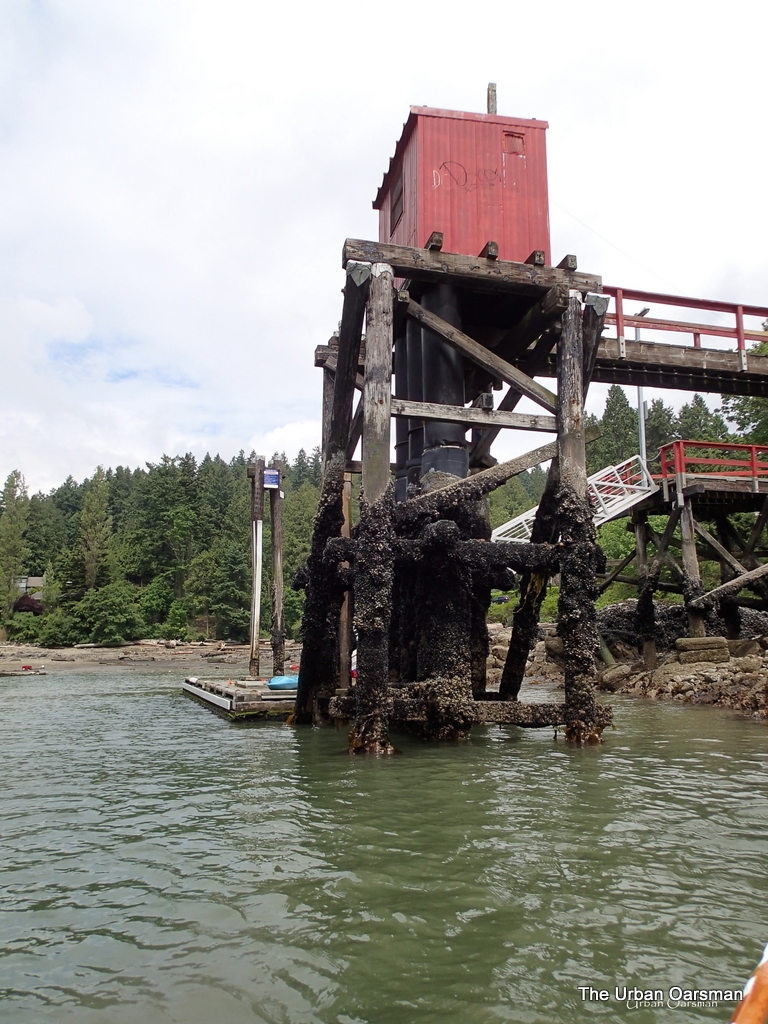
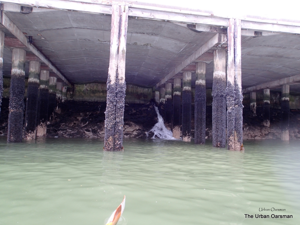
Point Atkinson Lighthouse Dock. |
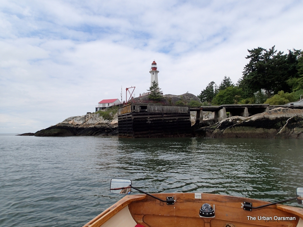
The dock structure at the Park. Has not been used in many years. Needs work.
|
|
Mink on shore. |
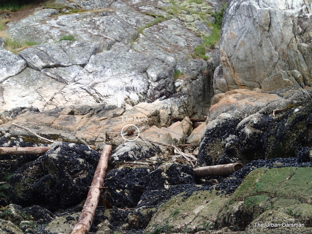
One of the nice things about rowing is that you can get quite near the wildlife. This is a photo of a mink foraging along the shore. They move so quickly that it is hard to get even a poor picture of one.
|
|
Caulfeild Cove |
Caulfeild Cove. I do not know why it is spelt Caulfeild and not Caulfield. There is a small public dock here. There are usually a few boats moored in the Cove.
|
|
Caulfeild Cove Dock. |
The dock at Caulfeild. The tide is quite low.
|
|
Cypress Creek Delta. |
Cypress Creek. There were fisherfolk trying for Sea Trout. Were not lucky when I rowed past.
|
|
Mooring Buoy in current. |
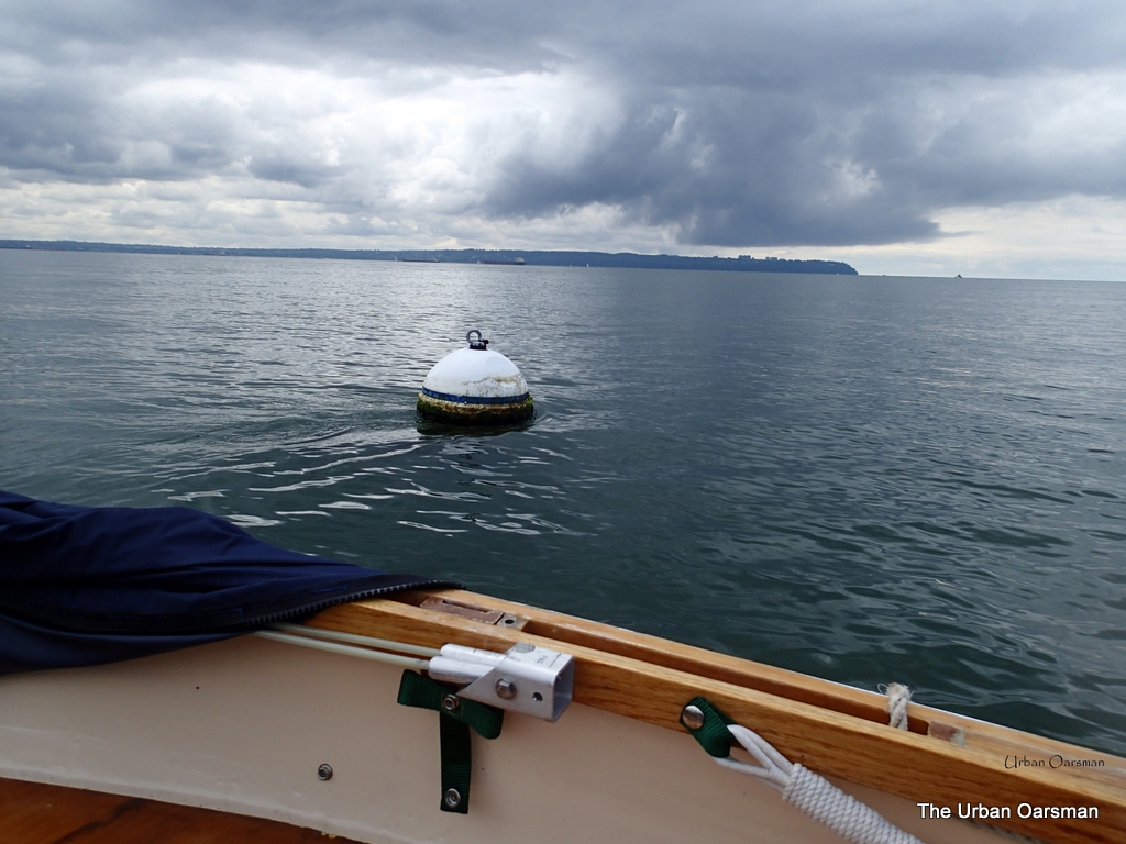
The tide current past a mooring buoy. The current is moving at about a knot and a half.
|
|
West Vancouver labortories Dock |
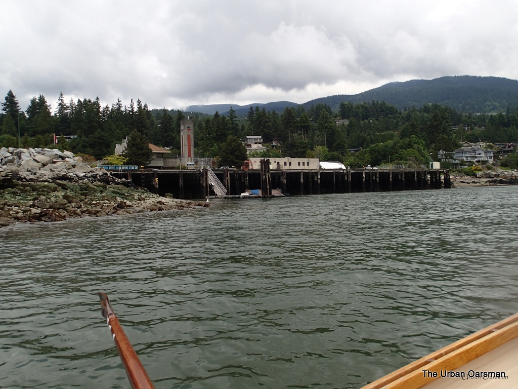
The West Vancouver laboratory dock. This is where they grow the genetically enhanced salmon in tanks on shore. I can imagine the “Space” network making a series of movies like the “Shark Attack” ones, featuring genetically altered Salmon terrorising the waters around Georgia Strait. A monster salmon leaping up and snatching a bus off the Lions Gate Bridge? I would watch it. At least once.
|
|
Creek outflow under the Dock |
This might be the outfall from Sherman Creek or from the genetically enhanced fish tanks. I should look for unusual fish around the outfall but, in the movies, that is how the first victim gets eaten. I will just row by…
|
|
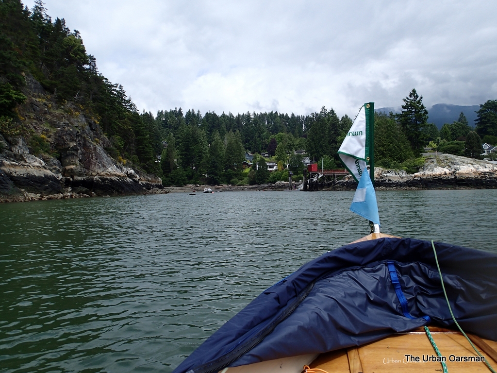
Colourful mysterious flag. |
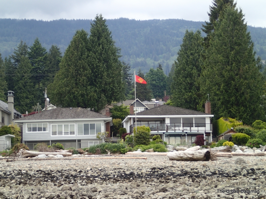
This is just a colourful and unusual flag flying at a house on the beach. The West Vancouverites are a colourful lot.
|
|
Dunderave Pier at low tide. |
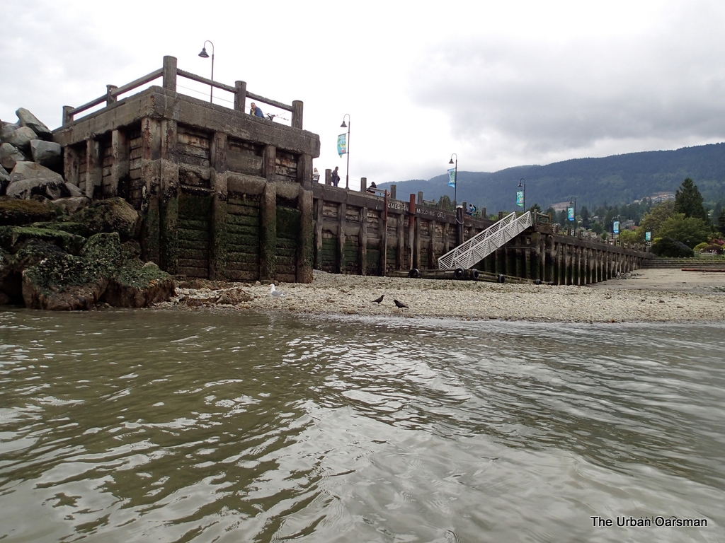
Dundarave Pier at the foot of 25th Street, West Vancouver. There is a restaurant, “The Beach House” at the top of the pier. It used to be called “Peppi’s”. In around 1994, it became “The Beach House”. I have never eaten here since the change. There used to be a little concession stand/burger place west of the top of the pier. It might be a “Vera’s” now.
|
|
Hungery seal off Ambleside Fishing Pier. |
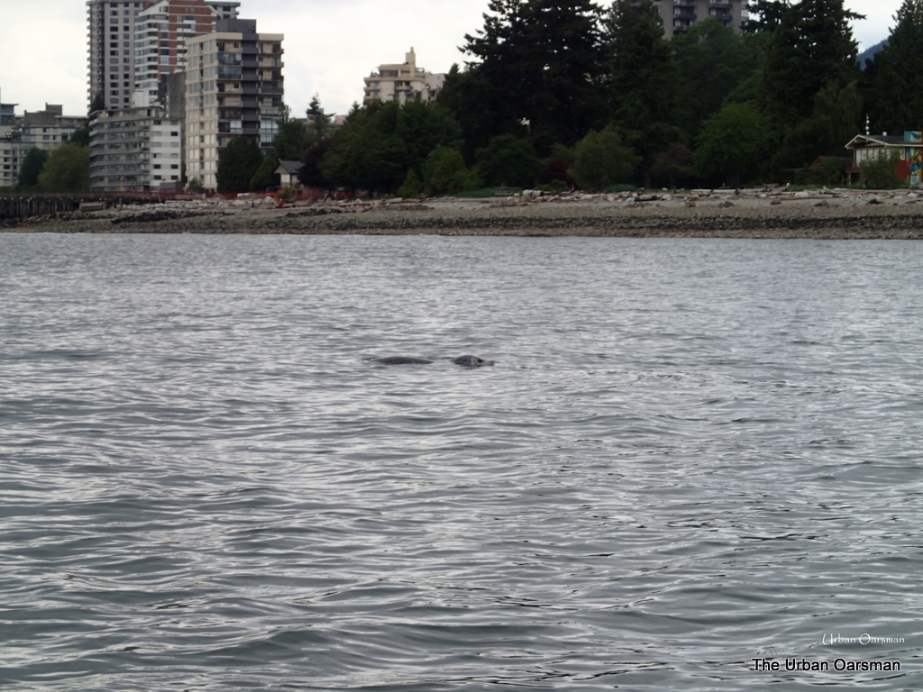
The welcome back committee. A seal waiting to steal a catch from the fisherfolk off of the Fishing Pier at Ambleside Beach.
Back to Hollyburn Sailing Club.
Another good row.
See you out on the water.
Mike
Mike, the Urban Oarsman.
