The Nicomekl River Row. August 7th, 2015.
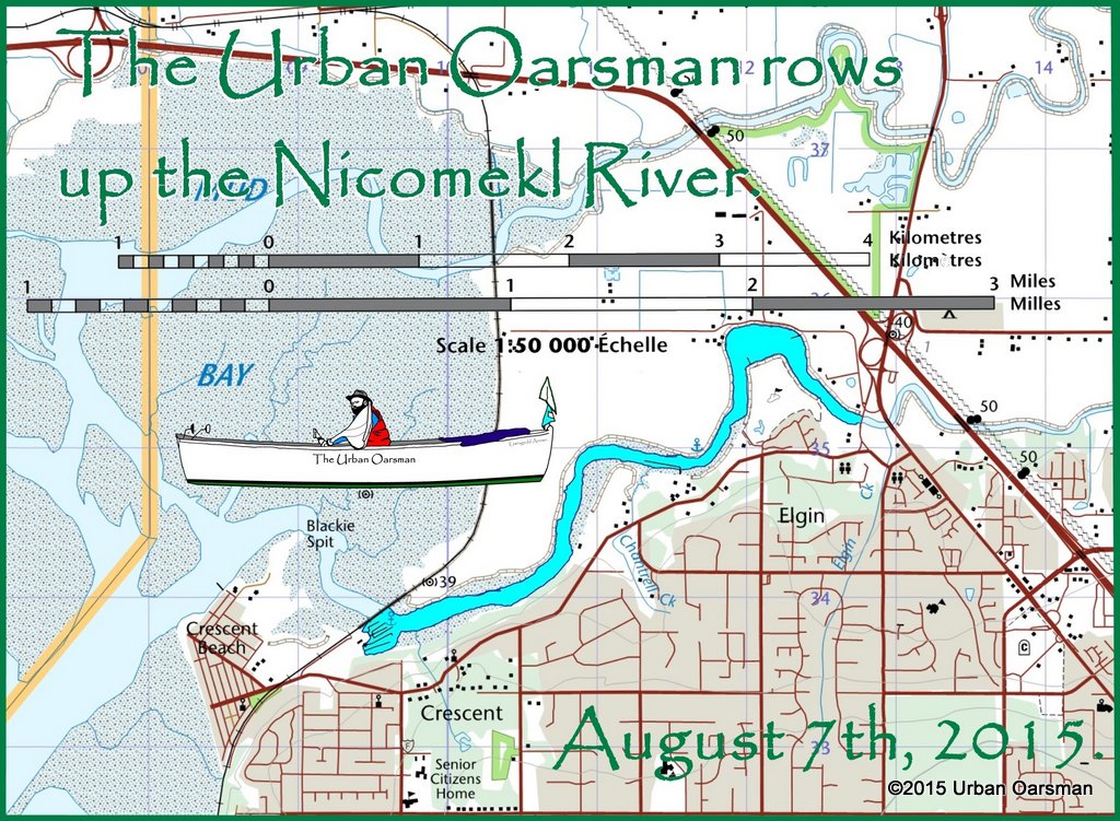 The rowing plan for the Nicomekl River is to ride the tide upriver, the low low was at 6:10am, 1.4m/4.6′. The low high is at 12:50pm, 3.2m/10.5′ and then ride the tide/current down, the high low tide is at 5:30pm at 2.6m/8.5′. The tide will only drop 60cm or 2′ during the day.
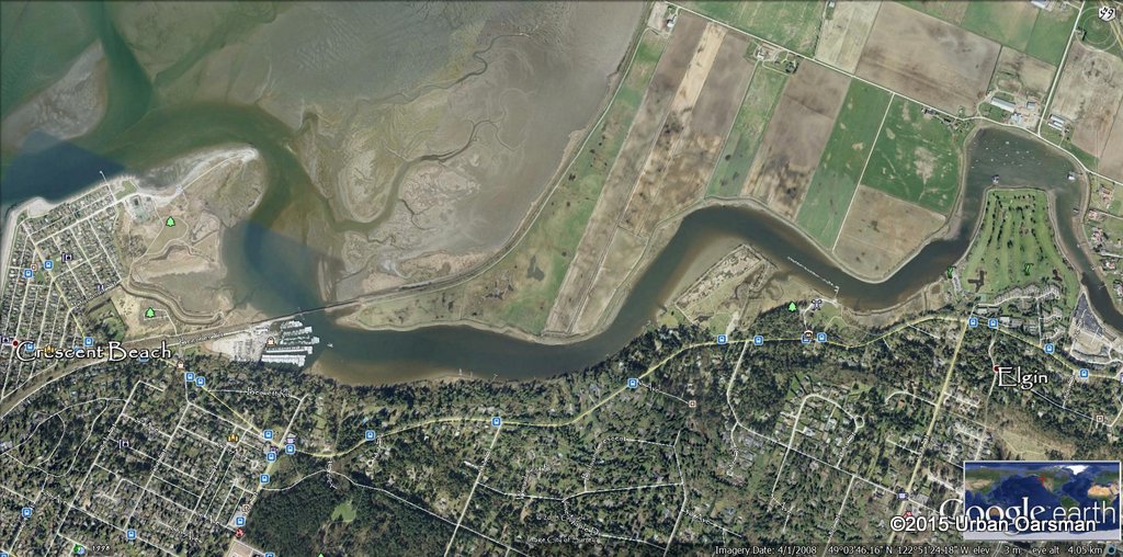
I print out three Google Earth Views of the Row. This is the first leg of the row:
 I also have a topo map and the blueways map from the city of Surrey:(http://www.surrey.ca/files/blueways.pdf)
 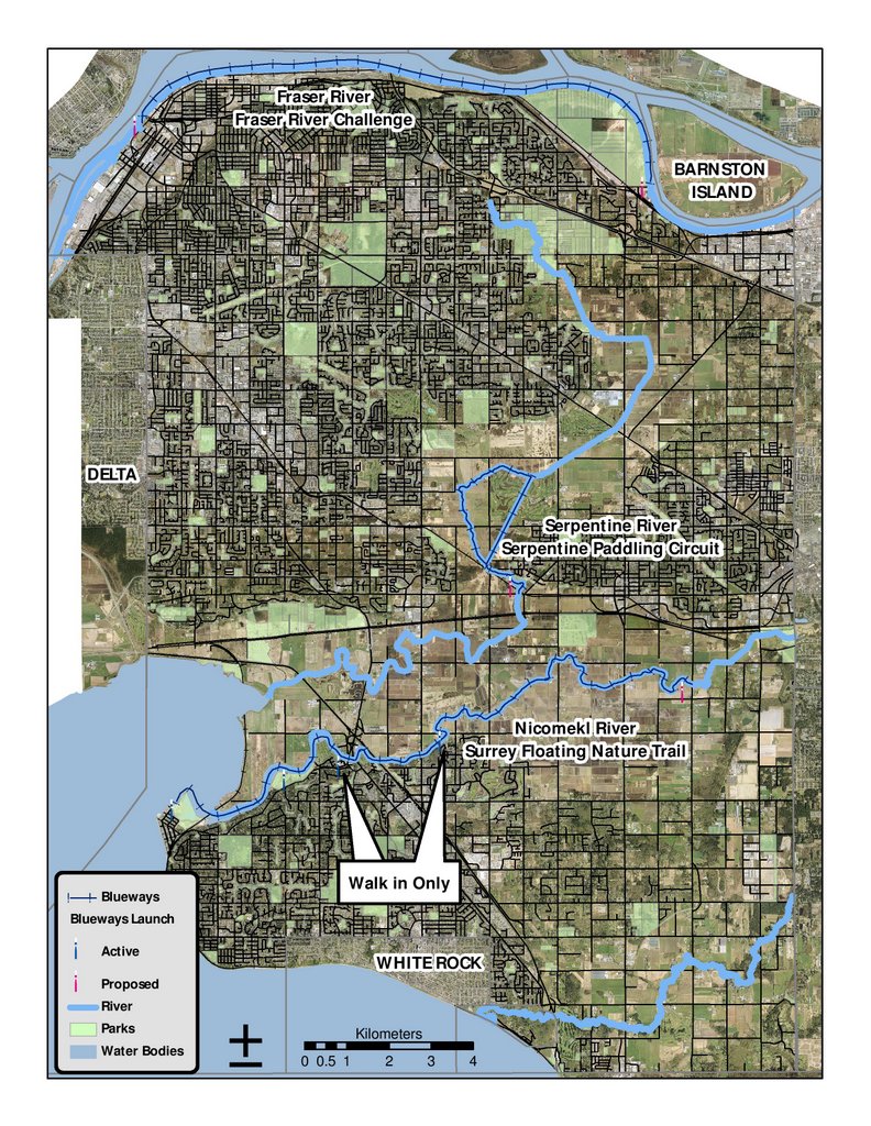 It shows the Nicomekl River Surrey Floating Nature Trail. The trail goes from Blackie point to 184th Street. I am going to launch at the Crescent Beach Marina and row up river as far as I can get in five hours and row down (the faster way) in three. I ballpark the trip as 16 km each way.
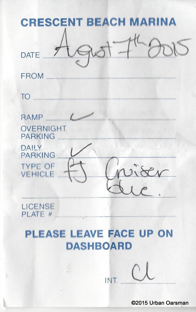
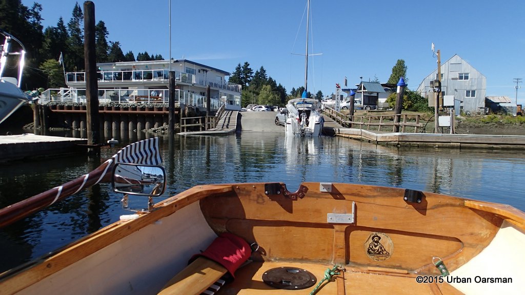
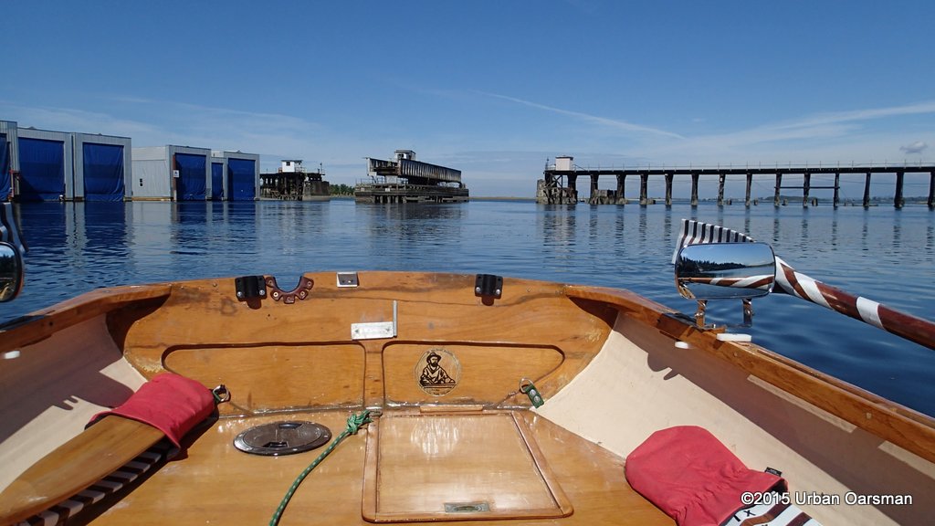
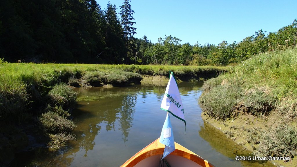
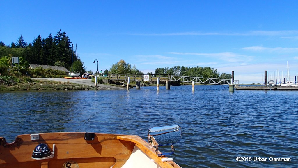
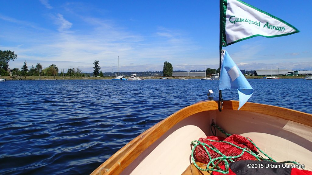
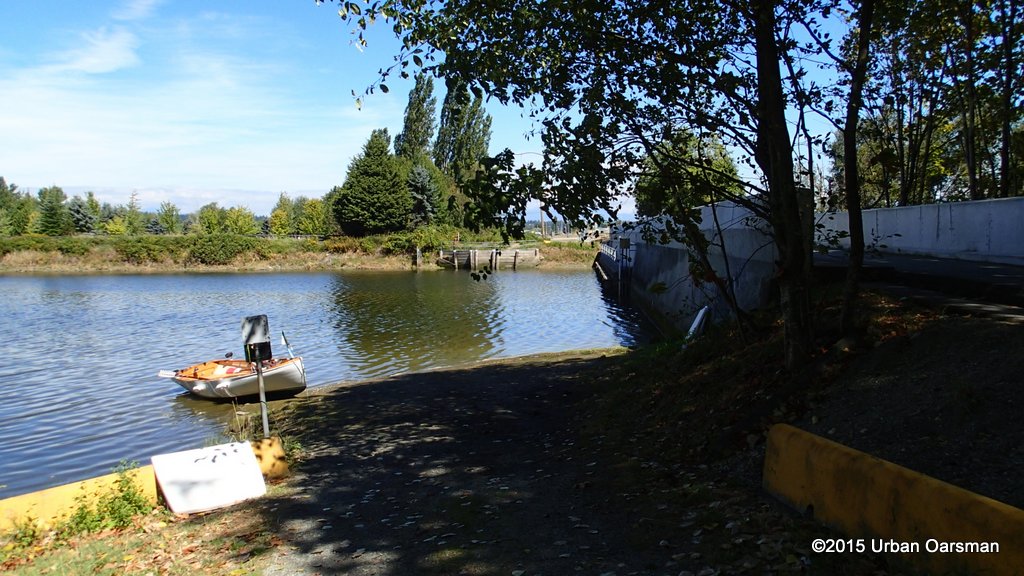
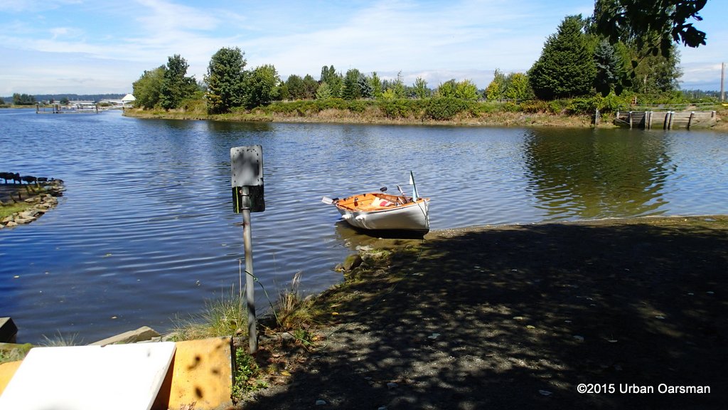
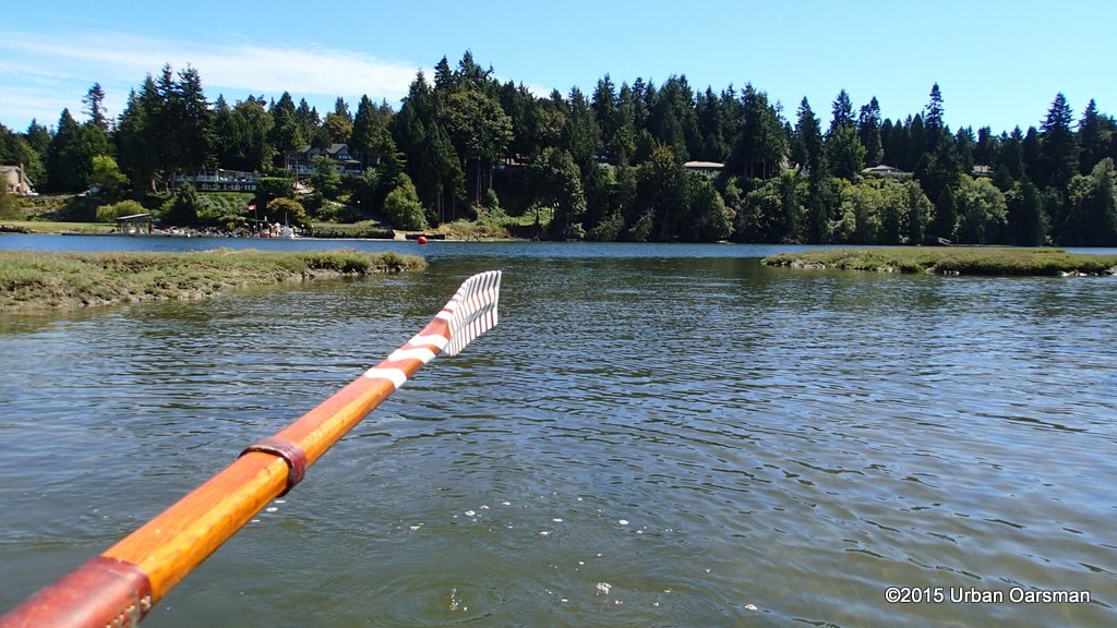
I launch Gwragedd Annwn at the Crescent Beach Marina and park the FJ & trailer in their lot. I row away fromt the dock at 9:35am, just a little behind schedule.
 The marina boat launch ramp. realistically one boat at a time.
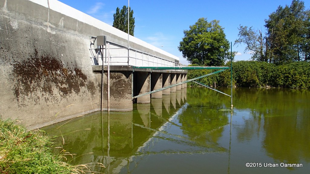
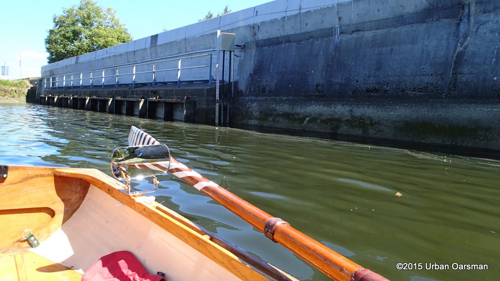
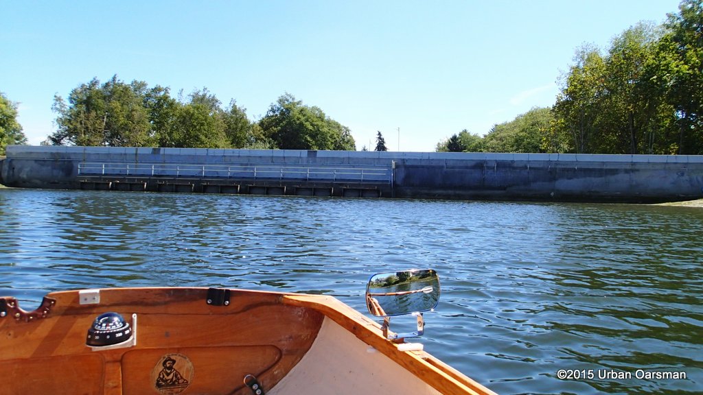
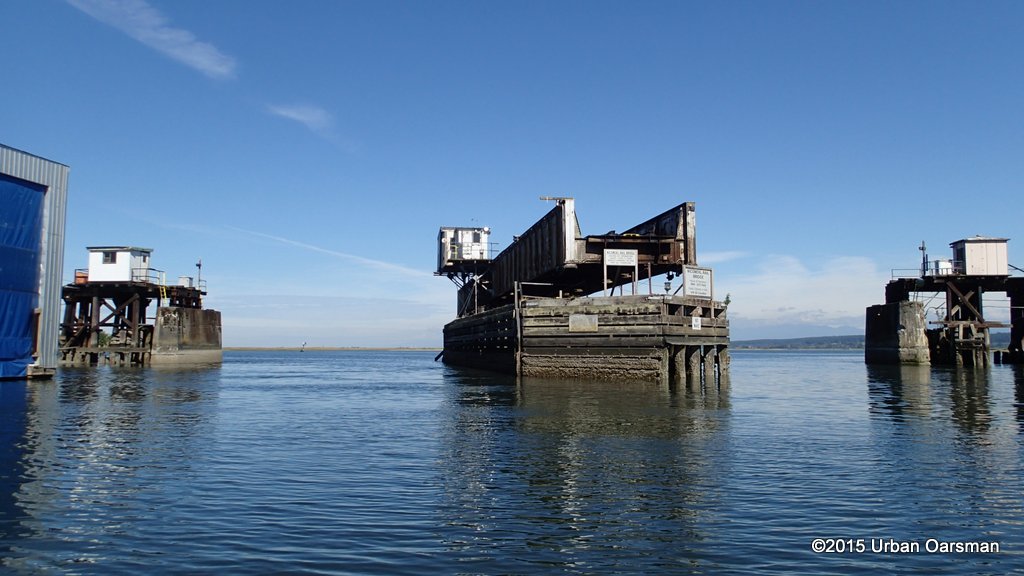 The turnstyle railroad bridge over the Nicomekl River. The bridge is now open for vessel traffic.
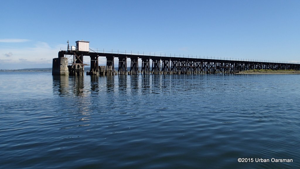 The track goes North along Mud Bay to Surrey, between Surrey and Delta to New Westminster.
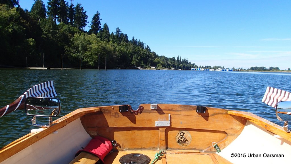
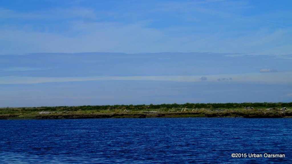
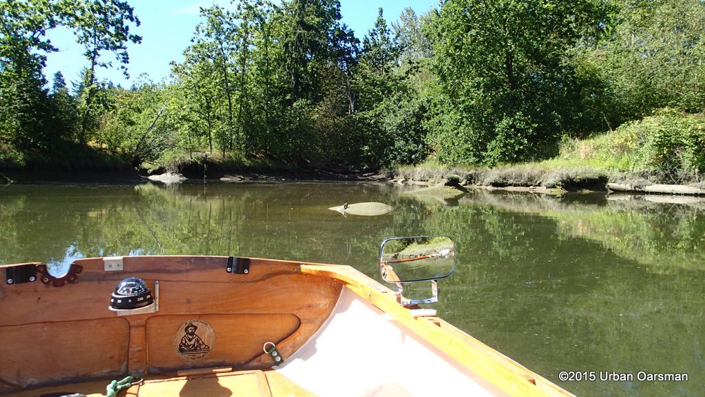
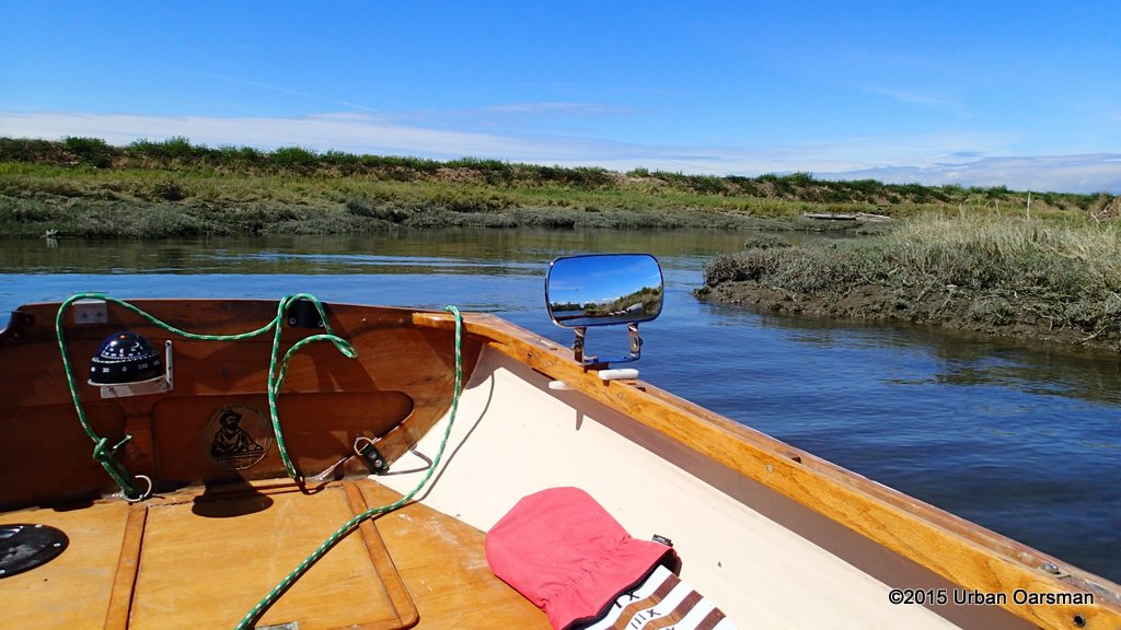
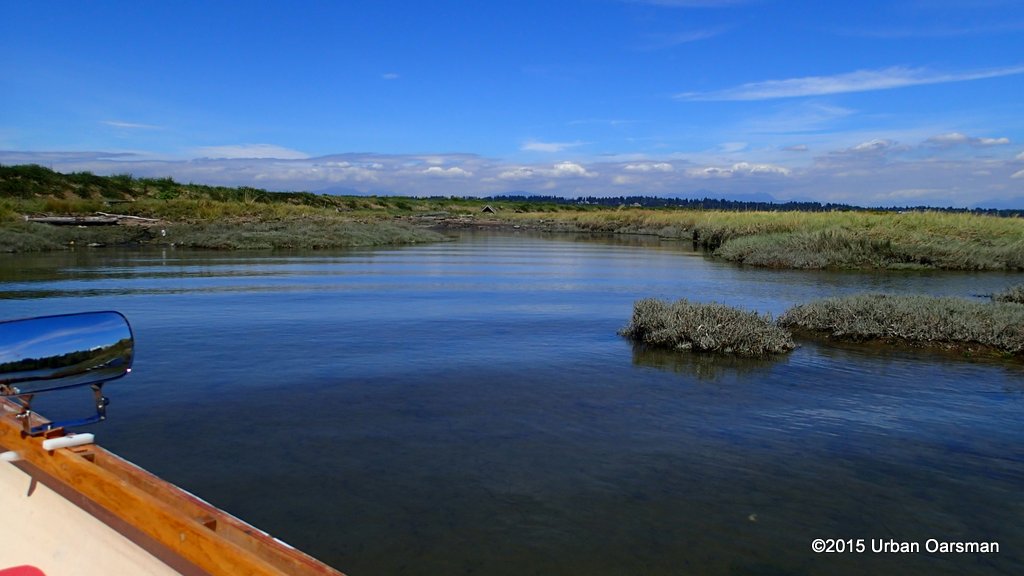
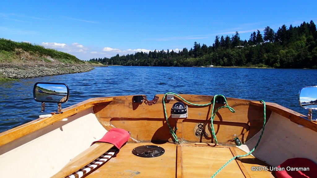
 I leave Crescent Beach Marina behind. There is a current up the river.
 Heading South, the railroad goes along the White Rock waterfront to the Peace Arch Crossing. I remember to turn on and reset the GPS.
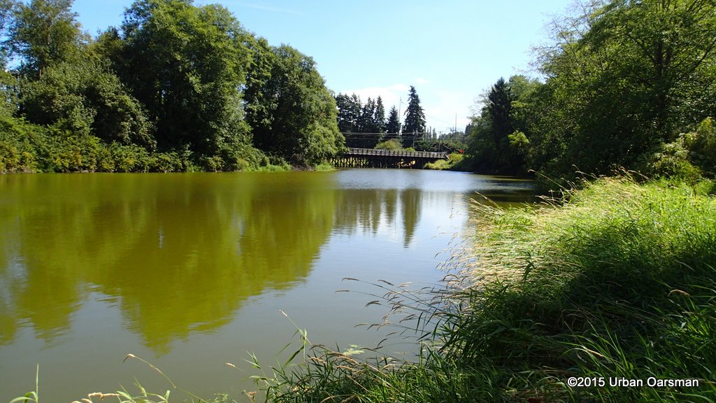
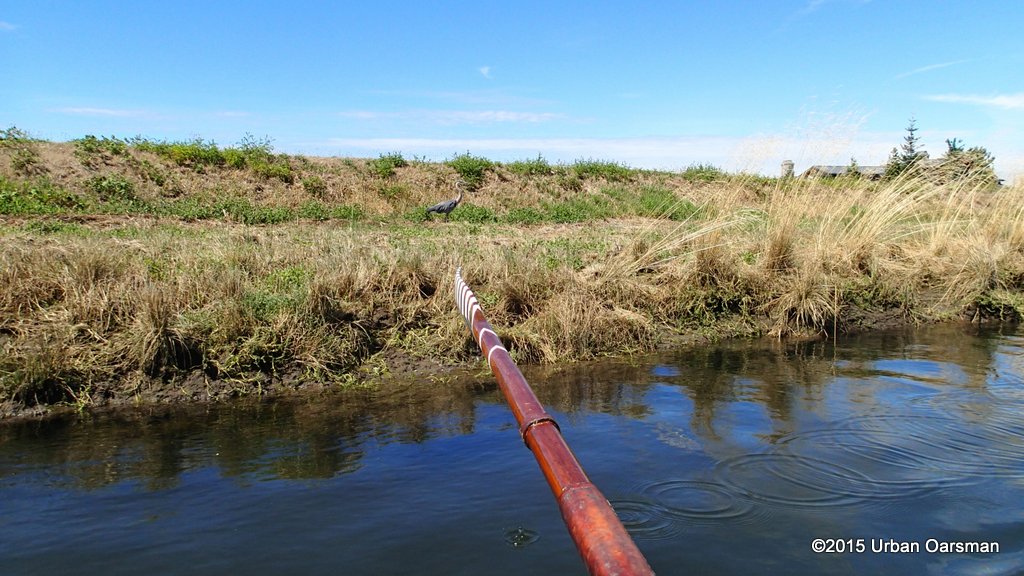
 Looking East up river.
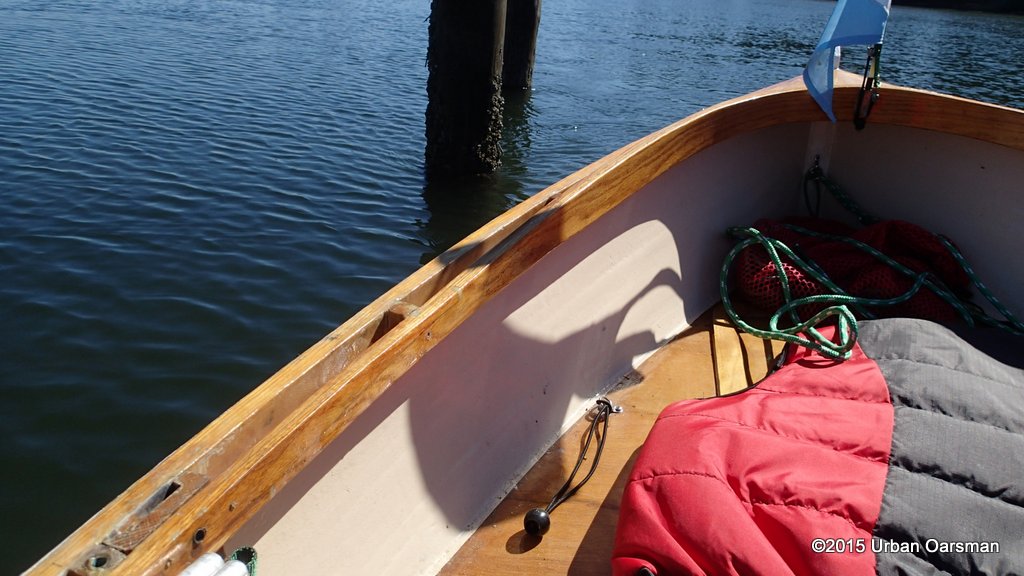 I row up to a piling to check the current.
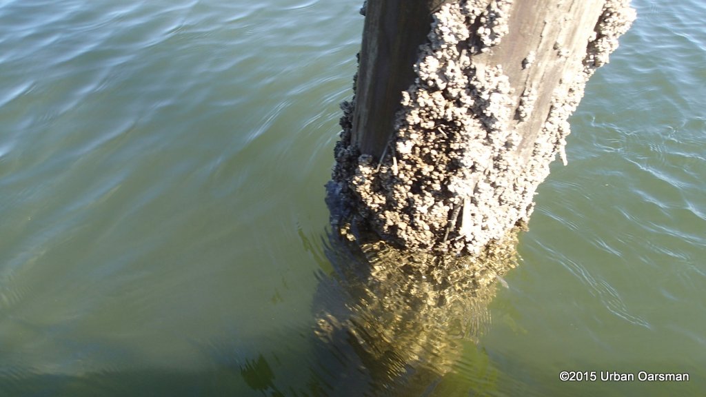 The current is heading upstream.
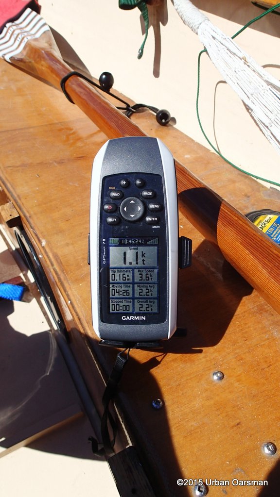 The GPS shows 1.1 knts flowing upriver. I should make good time.
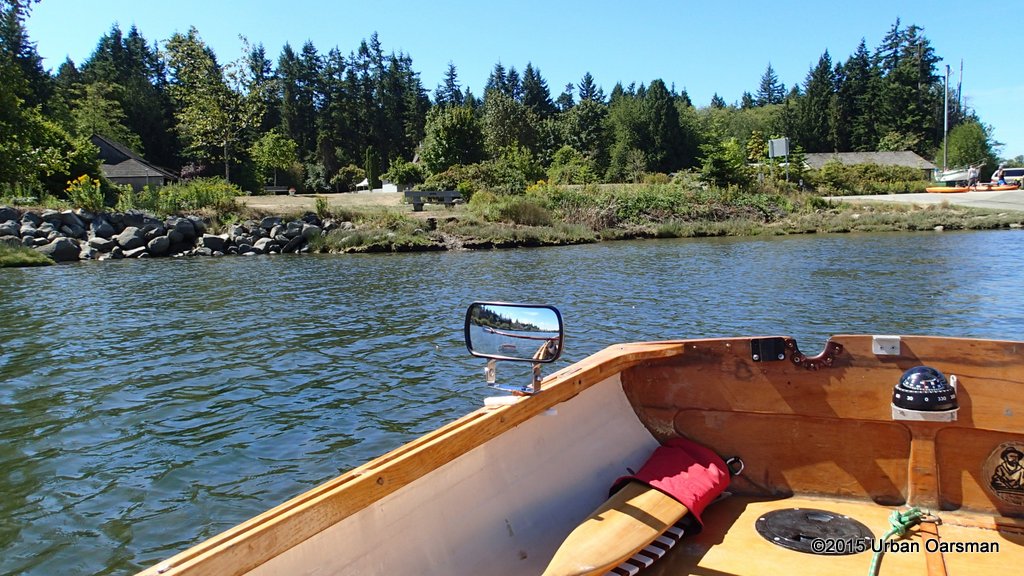
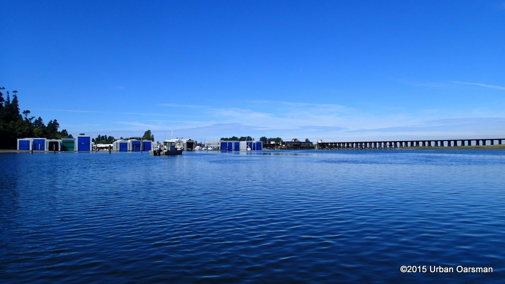 The marina fades to the West.
 As you can see in Gwragedd Annwn’s wake, there is a slight breeze going upriver.
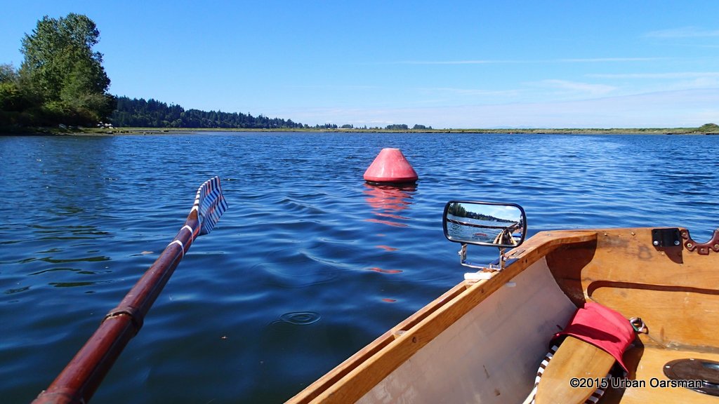 Channel marker.
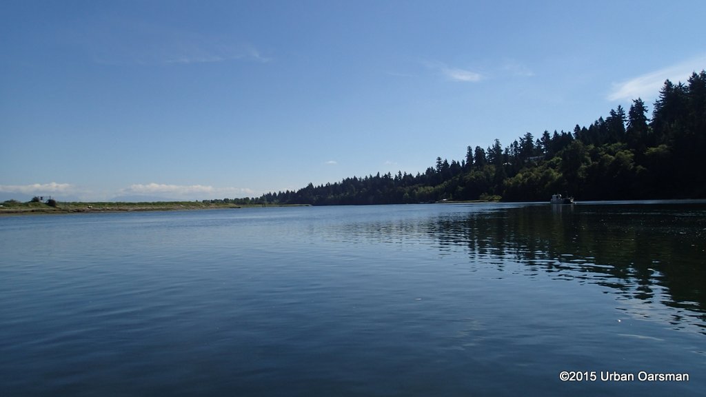
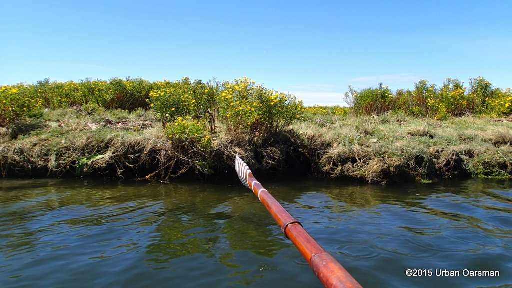
 Looking North. It really does seem wildernessy here.
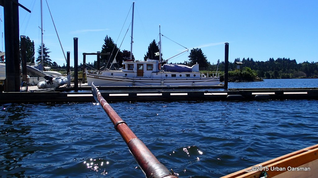
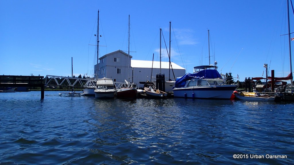
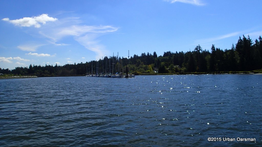 The marina at the Historic Stewart Farm.
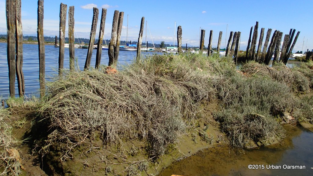
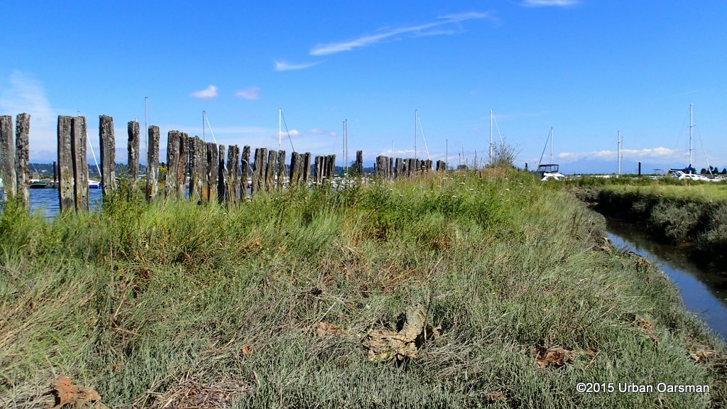
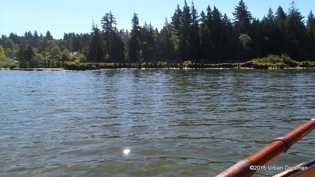 There are a lot of pilings along the shore here. I row in to investigate.
 This is where Chantrell Creek enters the Nicomekl.
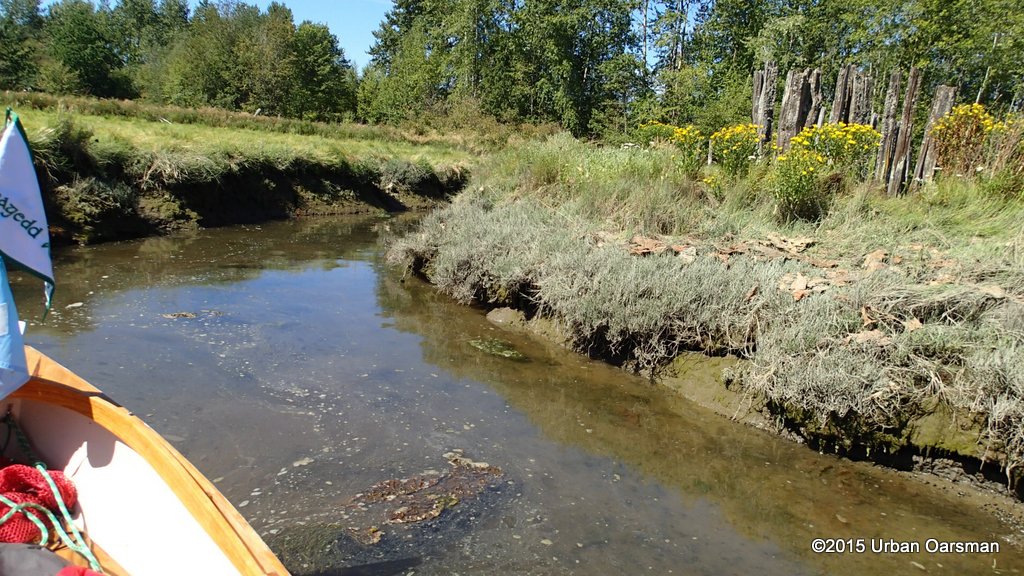
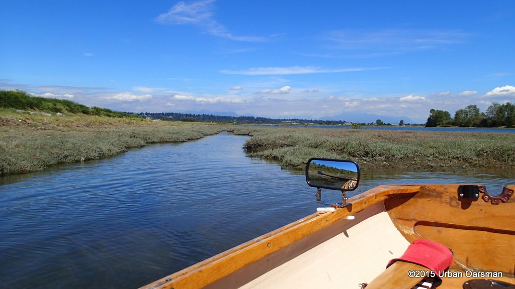
 I row into the creek estuary.
 There is a walking trail just on the other side of the bank.
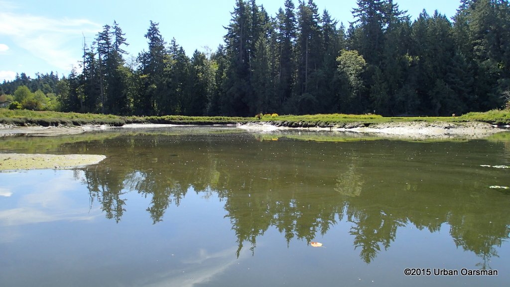
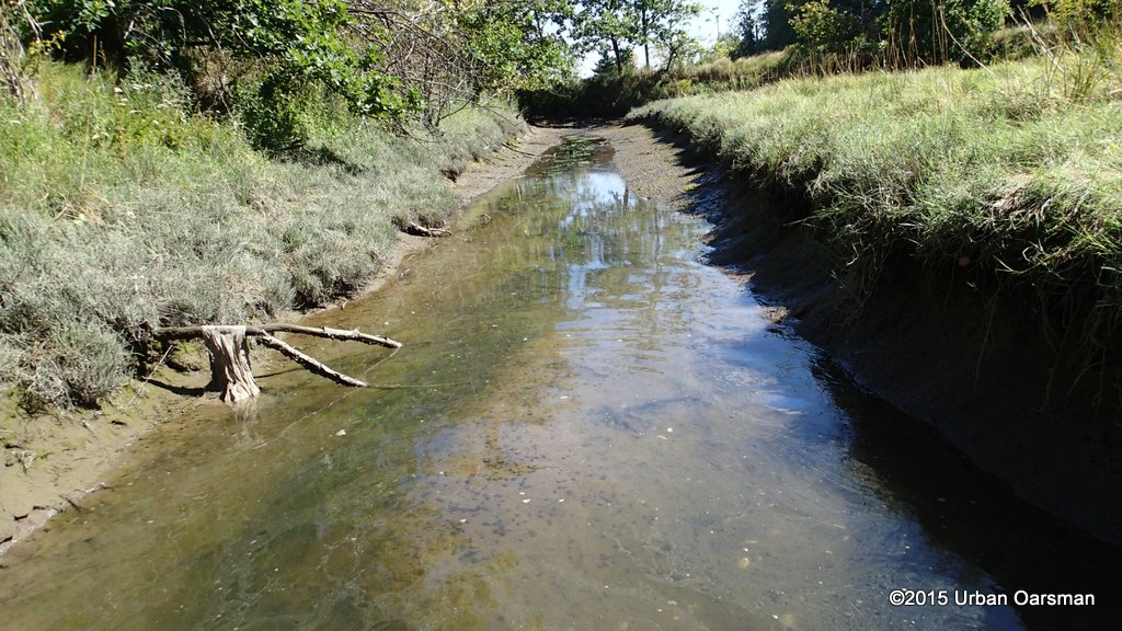
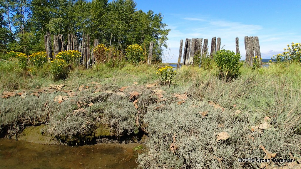
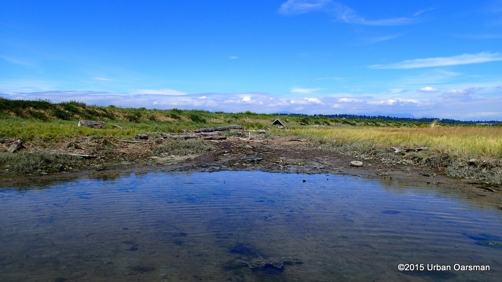
 I push on, trying to go as far up creek as I can. I wish the tide was higher.
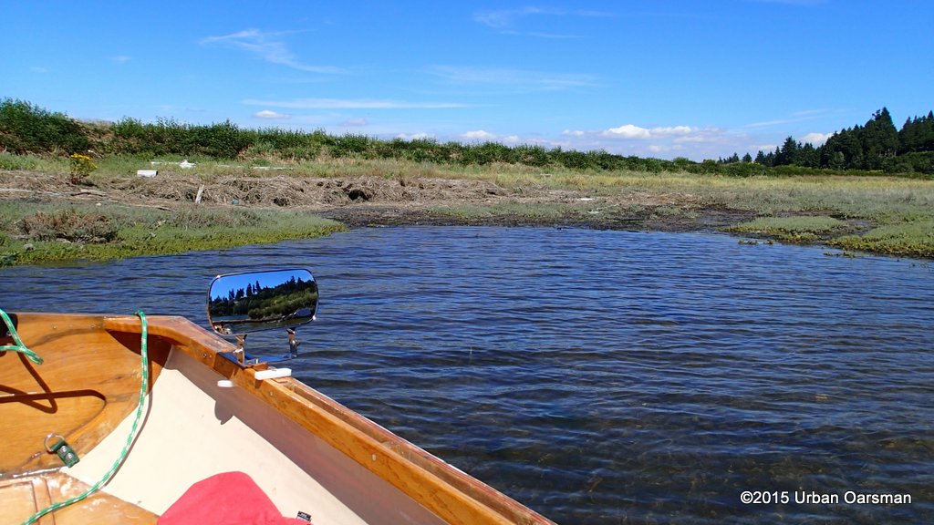
 The channel ends in several pools. I explore each one.
 This side channel to the West is too shallow to go up. The Google Earth photo shows that Chantrell Creek comes from this branch.
 The side channel to the East is too shallow too. It is navigatable at high tide.
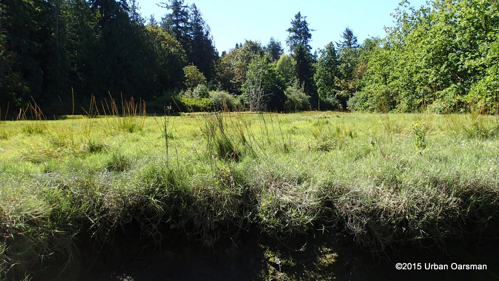 A large meadow(?) seems to go along up the creek.
 I row back out and pick another side channel to explore. This one heads West, but the Google Earth picture shows it deadending. I Look to the East.
 It is hard to tell, but Google Earth shows this channel going to the river and it may connect well enough for Gwragedd Annwn to return to the Nicomekl. I back down the channel in case I cannot turn around at the end.
 Looking more or less south.
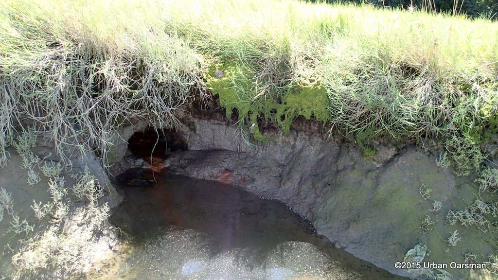 I do not know what made this hole. Looks pretty slimy. Might just be some sort of outflow.
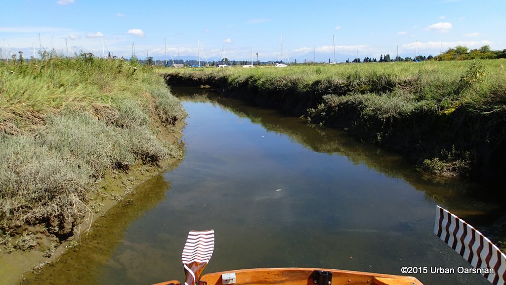
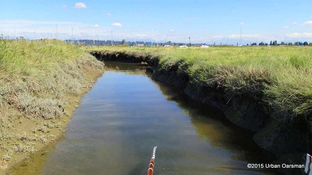 The channel continues to the North. Those are sailboat masts on the dock.
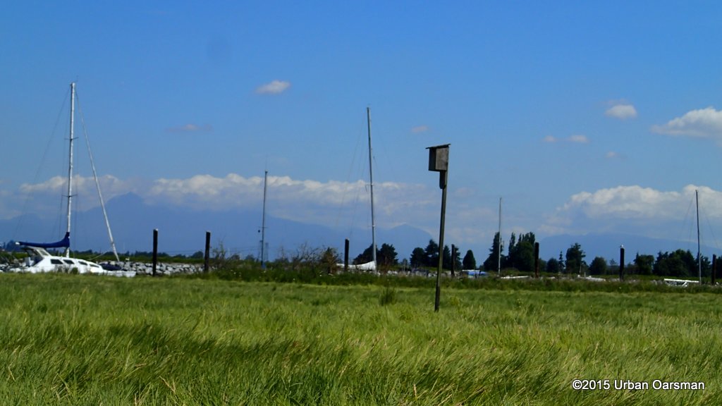 A birdhouse in the marsh.
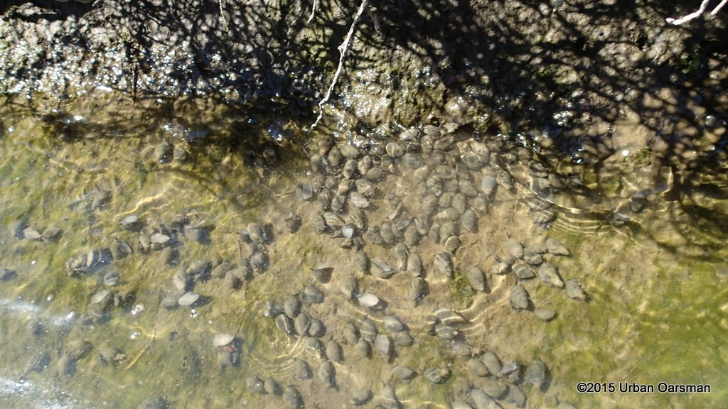 There are thousands of snails in the water.
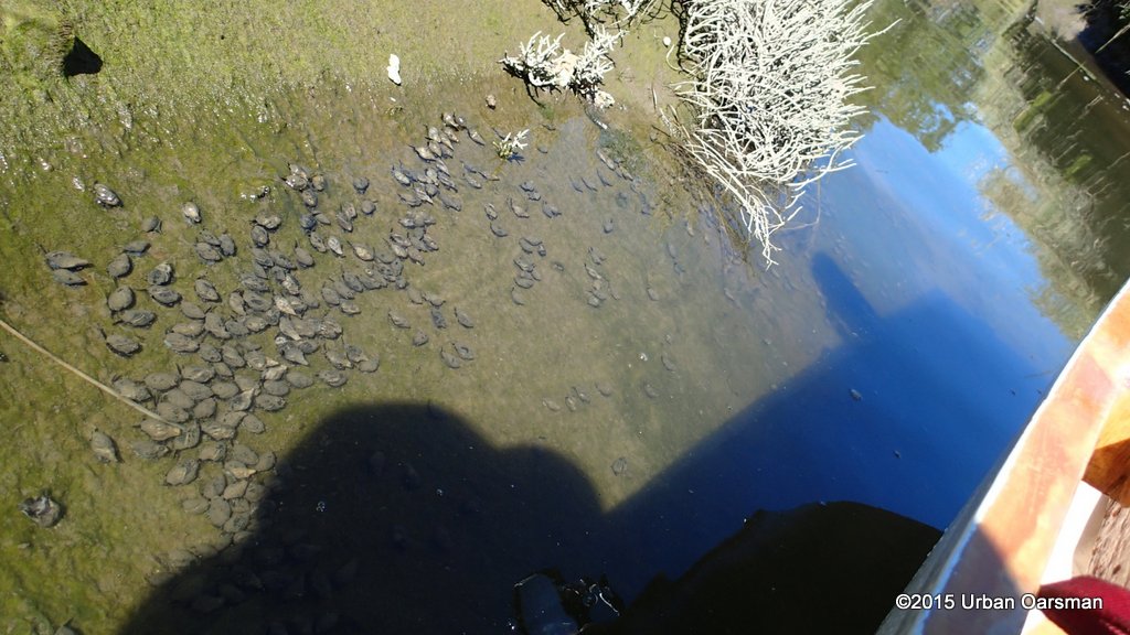 More Snails.
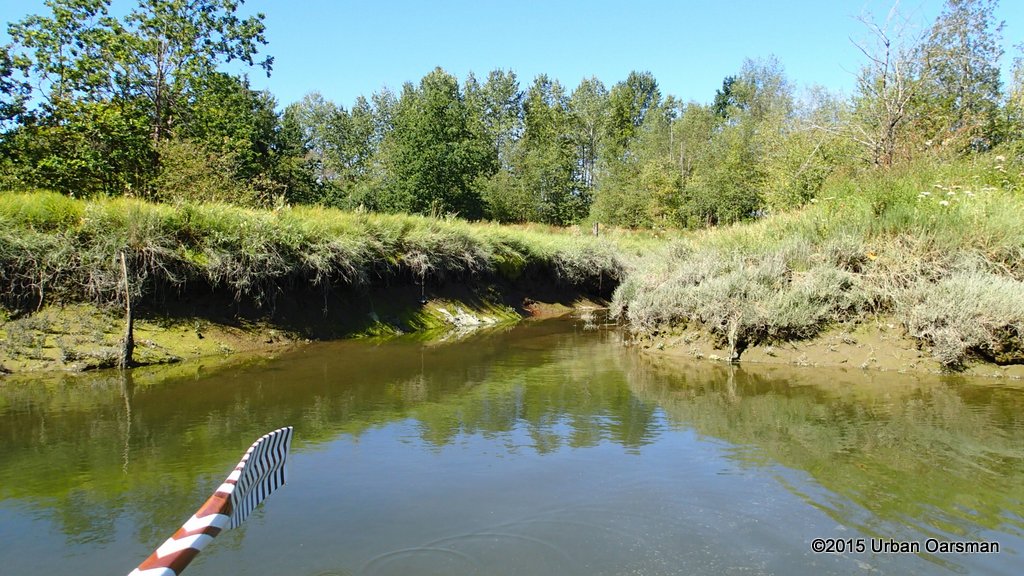
 The channel turns to the East and runs along the pilings along the shore.
 Working my way East.
 The sailboats at the dock.
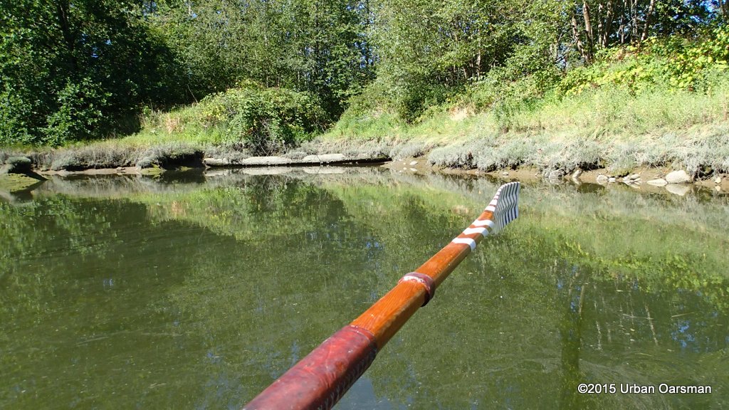
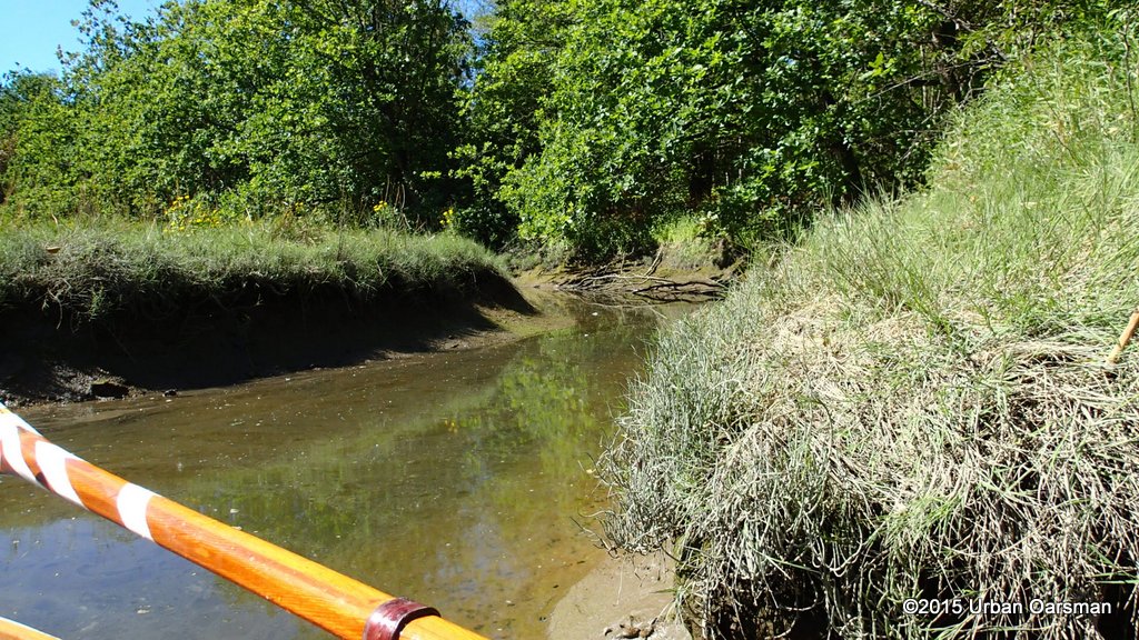
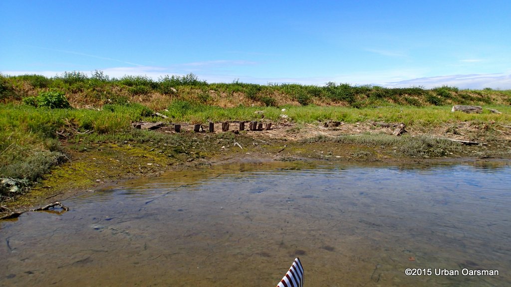
 The channel is getting narrower all the time. I am glad that the tide is still rising. Thisis as far as I can go…The channel is too shallow and narrow to continue. It does not look as if it reconnects to the Nicomekl.
 Back out the way I came in.
 Comming around the bend back tot he main channel of the creek.
 I rowed out, along the pilings and the shore, between the boat dock and the river bank..The little side channel did not connect up with the Nicomekl.
I did speak to a woman on the dock as I rowed past, who told me that she and her friends could see my hat moving along the marsh, and the occasional oar as I poled myself along.
 There is a boat launch here, shallow water. I could have launched here. It is shown in the blueways map.
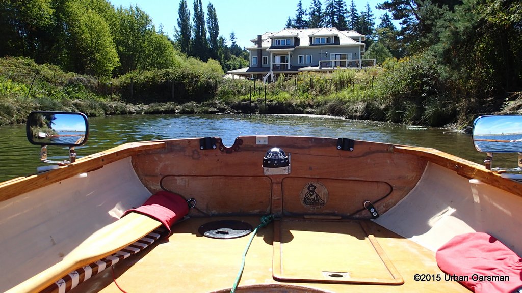 This big house under construction is on Crescent Road next to Nico Wynd Drive.
 This boat dock is off of the Nico-Wynd golf course.
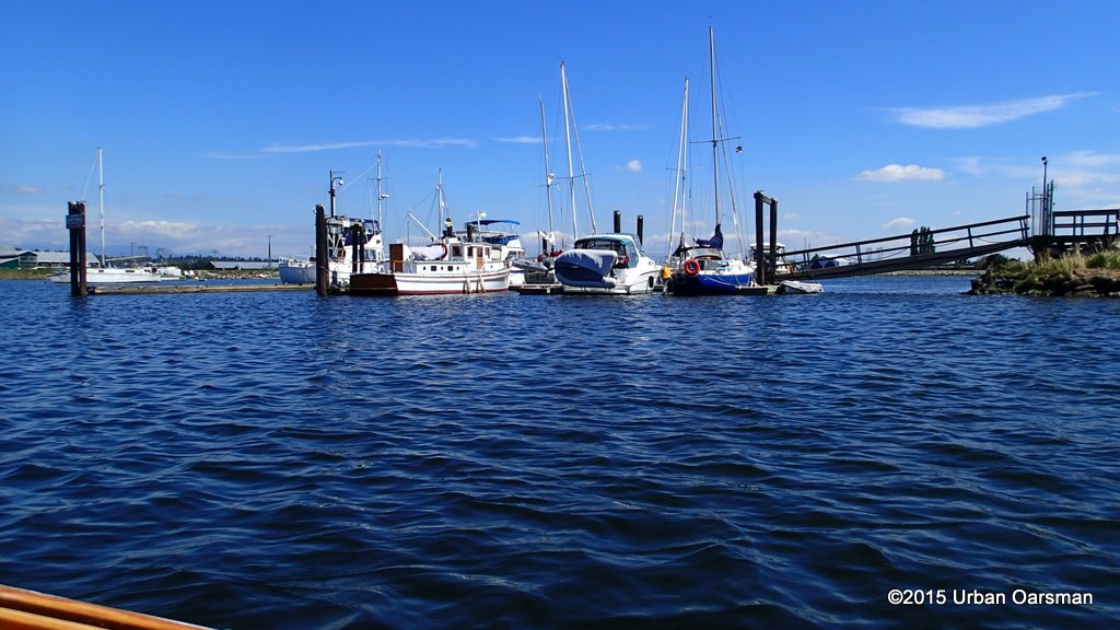
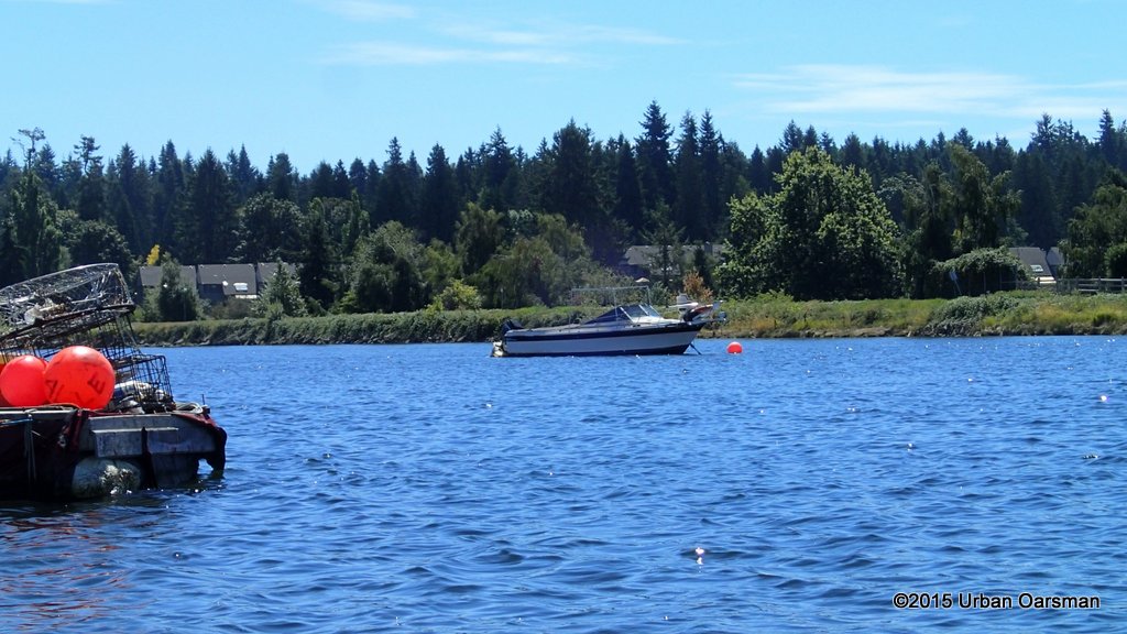
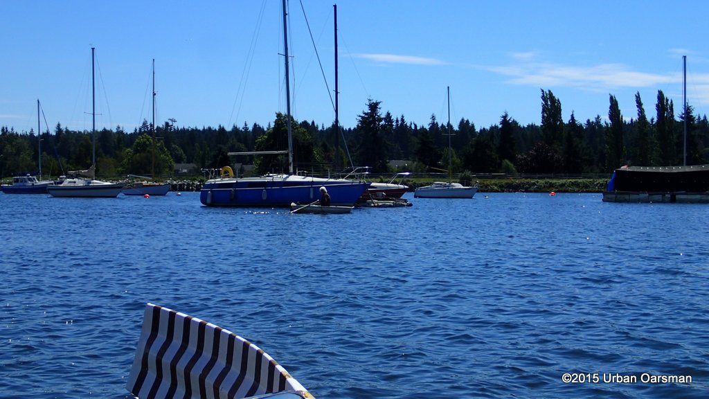
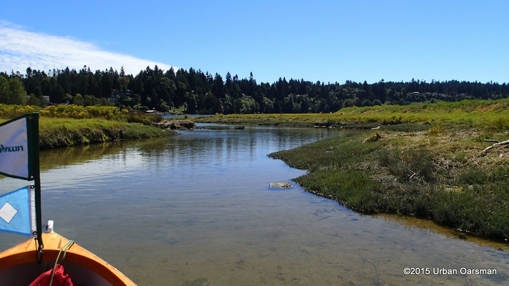
 There are a lot of boat anchored in this wide bend in the river.
 I row past “Maple” one of the boats tied up to the golf course docks.
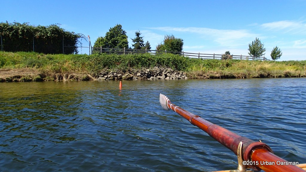 An orange cone marks the edge of the dyke.
 First view of where Elgin Road crosses the Nicomekl.
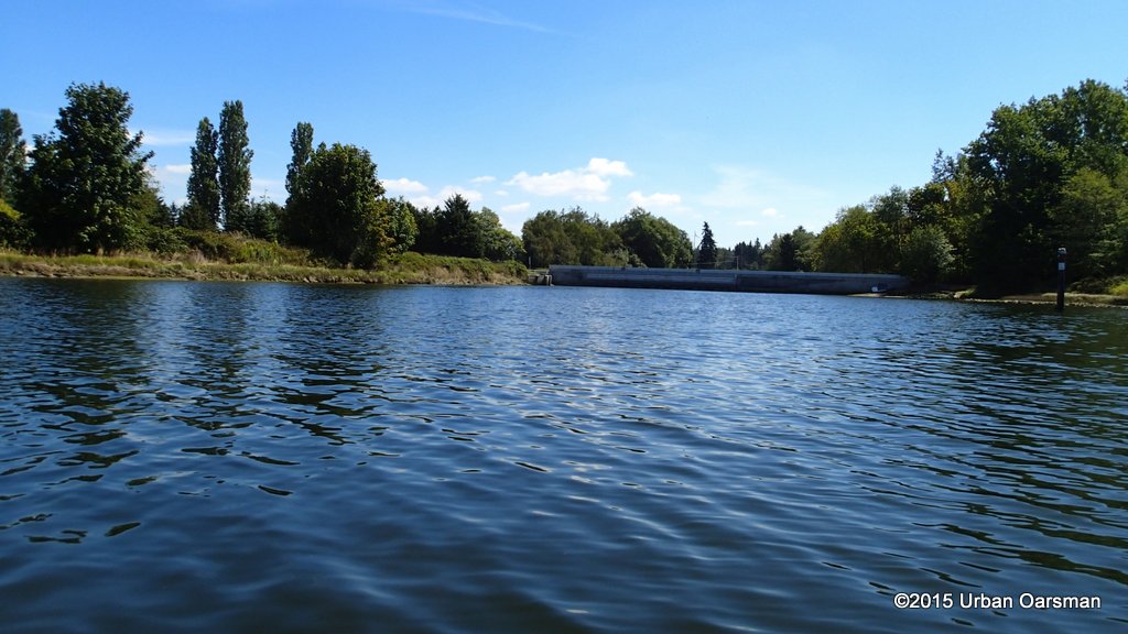
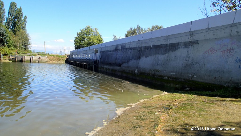 Well this is dissappointing. It is not a bridge, it is an impassable dam.
 Gwragedd Annwn pulled up on the beach by the dam. Elgin Road runs along the top of the structure.
 I walk down to the upstream side of the sea dam.
The river is controlled by sea dams located just south of King George Boulevard under Elgin Road. The dam consists of gates which open when tides are low to allow fresh water to flow to Mud Bay. When tides are high, the gates prevent brackish (salt water) from migrating up the river into farm land.
 Looking East upriver from the dam. The bridge carries King George Blvd. I have no way to get Gwragedd Annwn down to here.
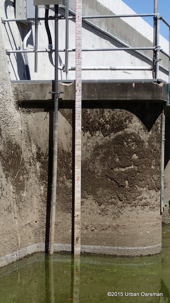 I check the water level on this side of the sea dam. It reads about -1.2 meters.
 I walk over and back to Gwragedd Annwn. I will check the level on this side.
 There is a gauge on the seaward side of the dam.
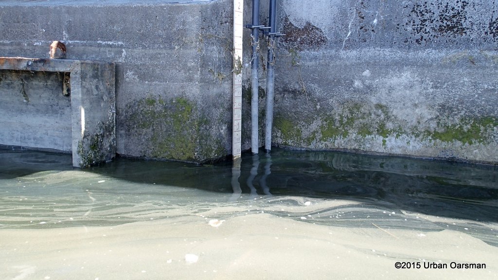 Looks to be reading 0.8 meters. That is about a two meter differance. I guess the sea dam works…but not for rowing. I recheck the blueways map. It shows that there is a “walk in” launch here. I guess one seaward and one landward. There is no portage for Gwragedd Annwn as I do not have a portage cart for her and she is too heavy to carry up to and across Elgin road, and down to the river again.
 I begin the return row home, leaving the barrier behind.
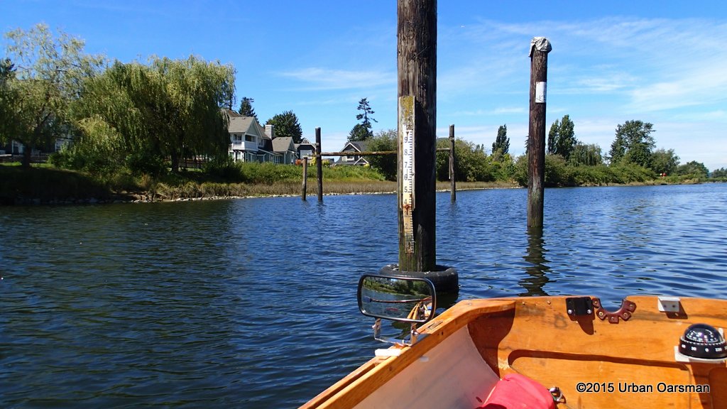 Another Gauge. It readings do not correspond to the sea dam’s ones.
 A boathouse on the East shore. It is off of 40th Avenue.
Just past the boathouse, I see what I think is a small dolphin or porpose. I get out my camera but it does not surface again. You will just have to take my word for it.
 A blue heron on a small float, anchored in this wide bend in the river.
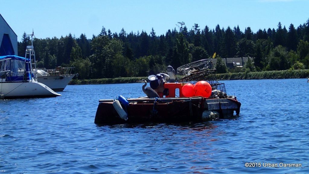
 An anchored powerboat.
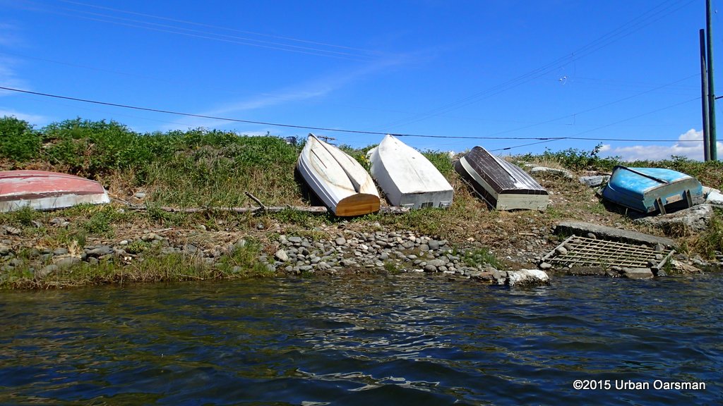 There are a lot of dinghies on the shore, beside 40th Avenue.
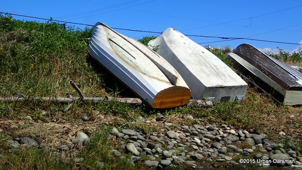 Close-up of the pretty clinker one.
 A fellow rowing to his boat. I actually have to row a little more off of the shore, as many dinghies are anchored with a line to shore to pull them into shore for loading and out to the mooring for waiting.
 A heron on the shore.
 These are some sort of daisy. I could sure smell them.
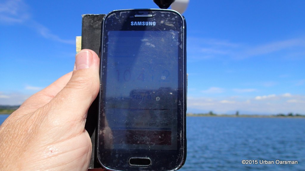 The wind has picked up from the South-West. 10.4 km/hr.
 Rowing back along the North shore, I row into an inlet and explore.
 What is that structure in the back?
 It is the remains of a shed roof.
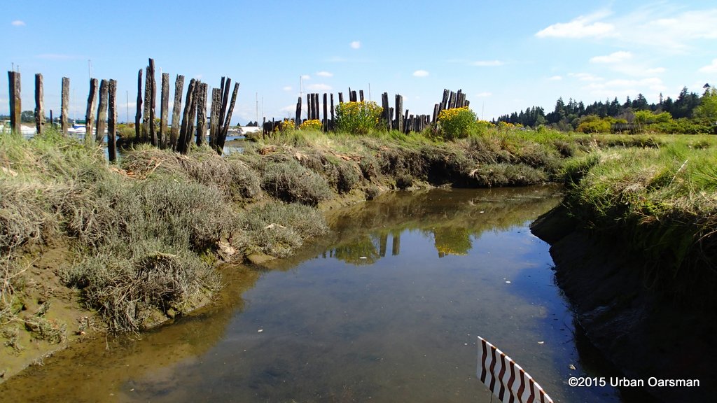
 Old pilings.
 Looking back out towards Nicomekl river.
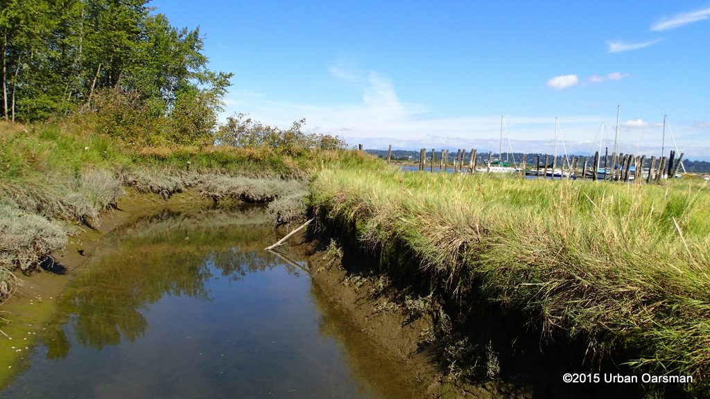
 There are several of these islands/inlets on the North Shore.
 I row here to explore and because the wind is lighter.
 The end of another inlet.
 Back in the river again, rowing downstream, into the wind.
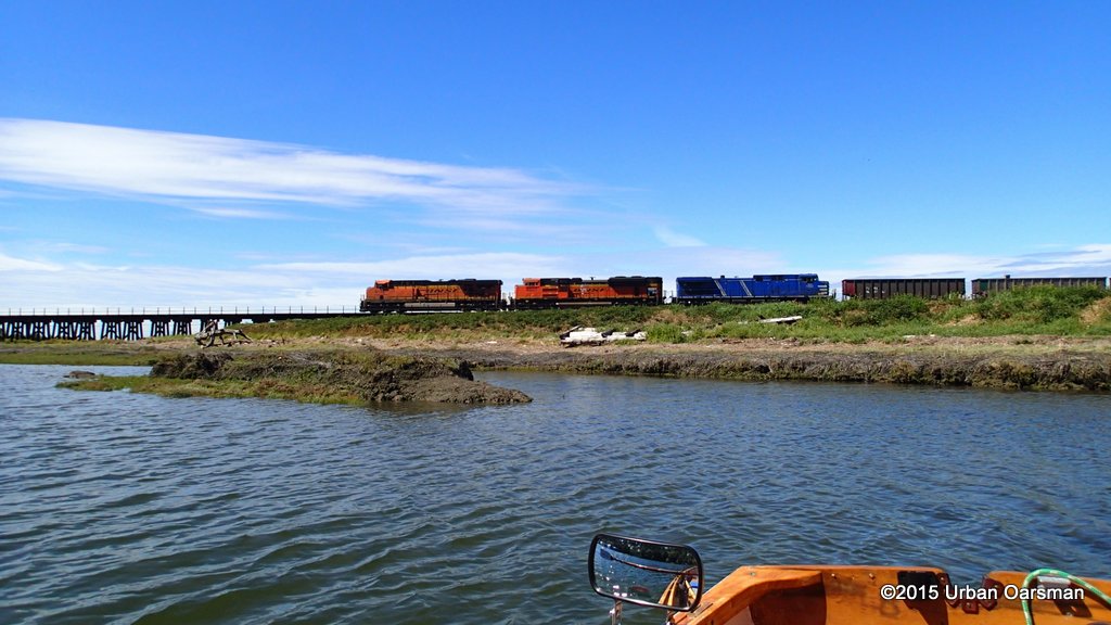 As I near the train bridge a train appears.
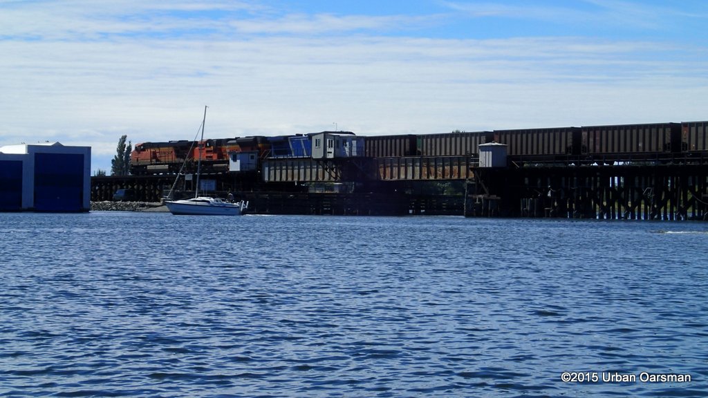
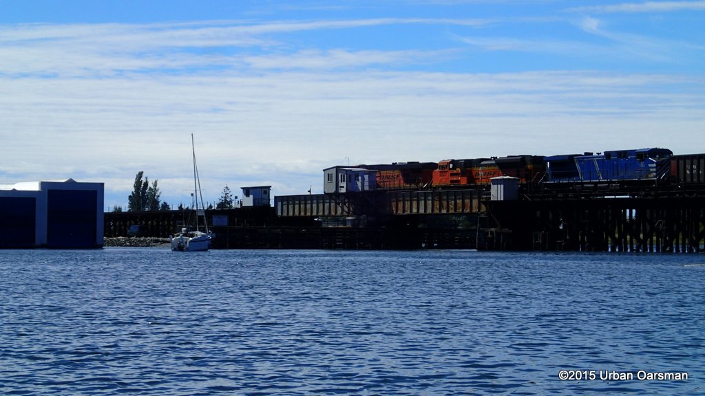 The swing bridge is closed, much to the chagrin of the sailboat.
 The McGregor heads back up river.
 It is a long train. I row beside the trestle bridge while I wait for the train to end.
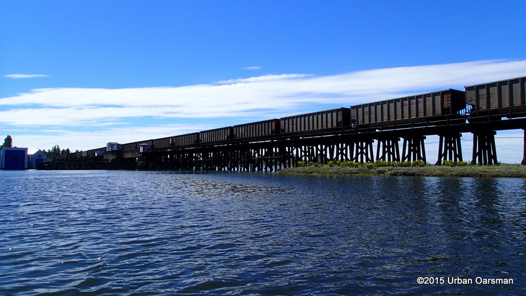
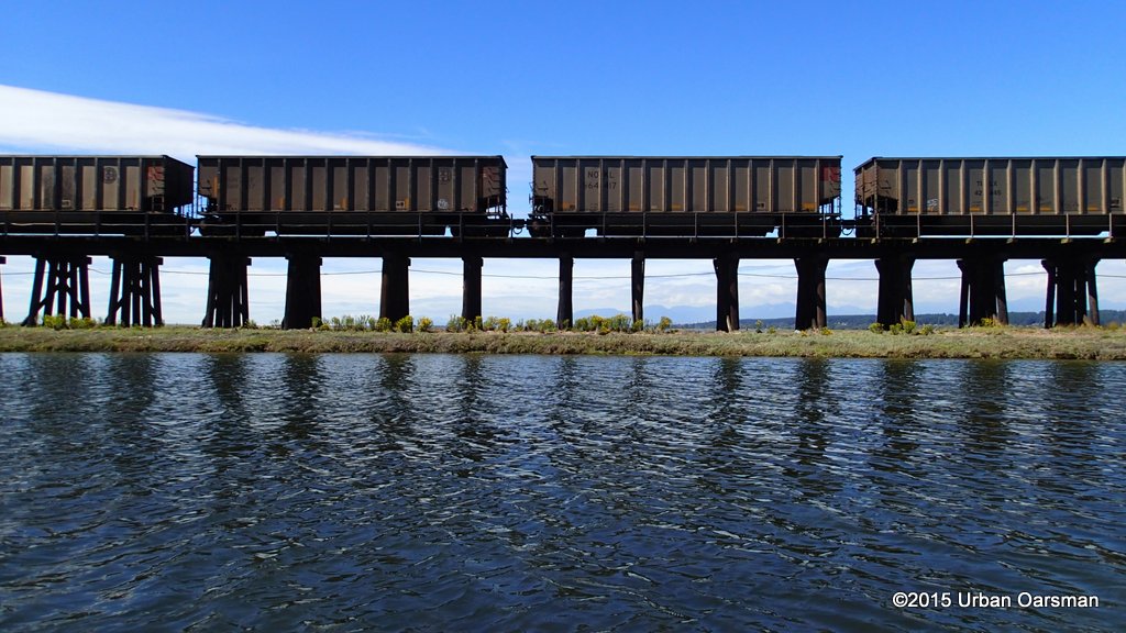 Empty coal cars?
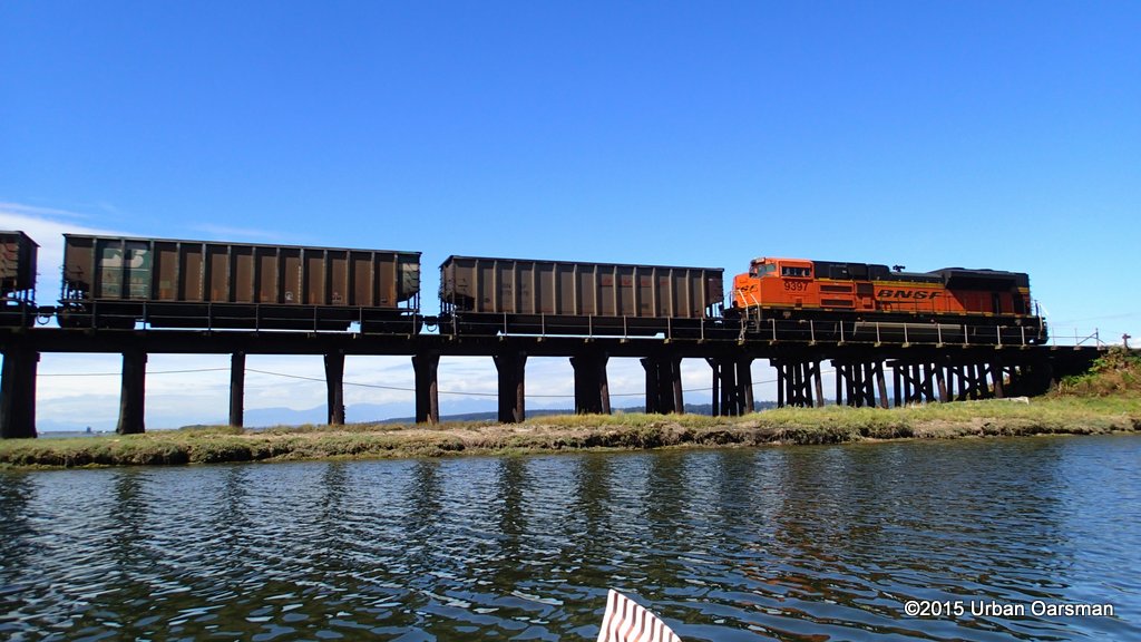 The end of the train.
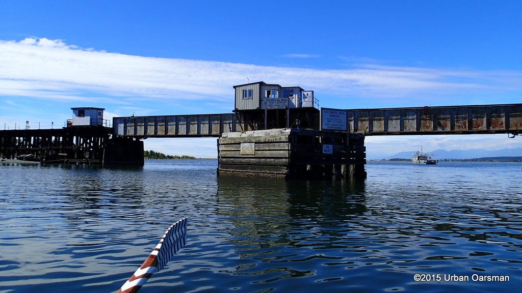 I wait around a bit for the bridge to open but it does not. Another train expected?
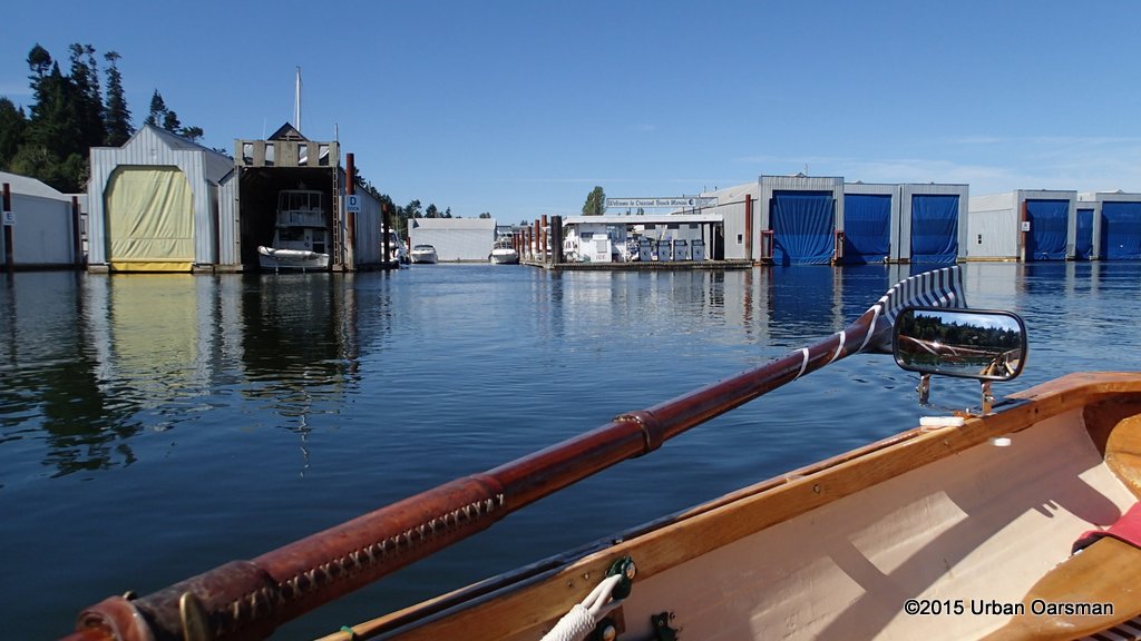
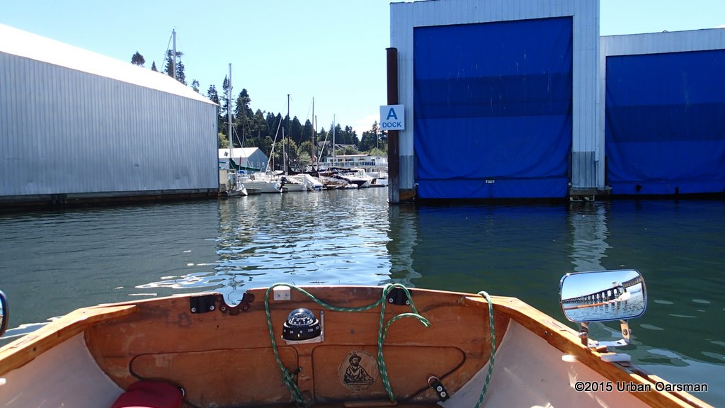 I back in to the boat launch, beside “A” dock. The row is over. Now to pack up Gwragedd Annwn and drive home.
 I will have to figure out a way to get past the sea dam or launch on the other side of it. Time for some reconnoiter trips in the FJ.
Good rowing,
Mike


Did you figure out a way to get past the sea dam or launch on the other side of it, Mike?
Hello Mike,
No, I did not. I did go to the upstream side of the dam. It would be difficult, but you could launch there. Gwragedd Annwn is a little on the big side to get down to the river.
I am going to be building Phil Bolger’s Fieldmouse design (Small Boats, chapter 14, page 68), an 7’9″ pram style dinghy. Light enough for me to put onto my roof racks. Meant for calm waters only.
Mike