Click on picture for larger format picture.
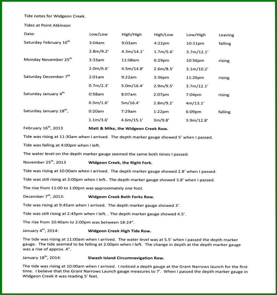
Tide notes for Widgeon Creek.
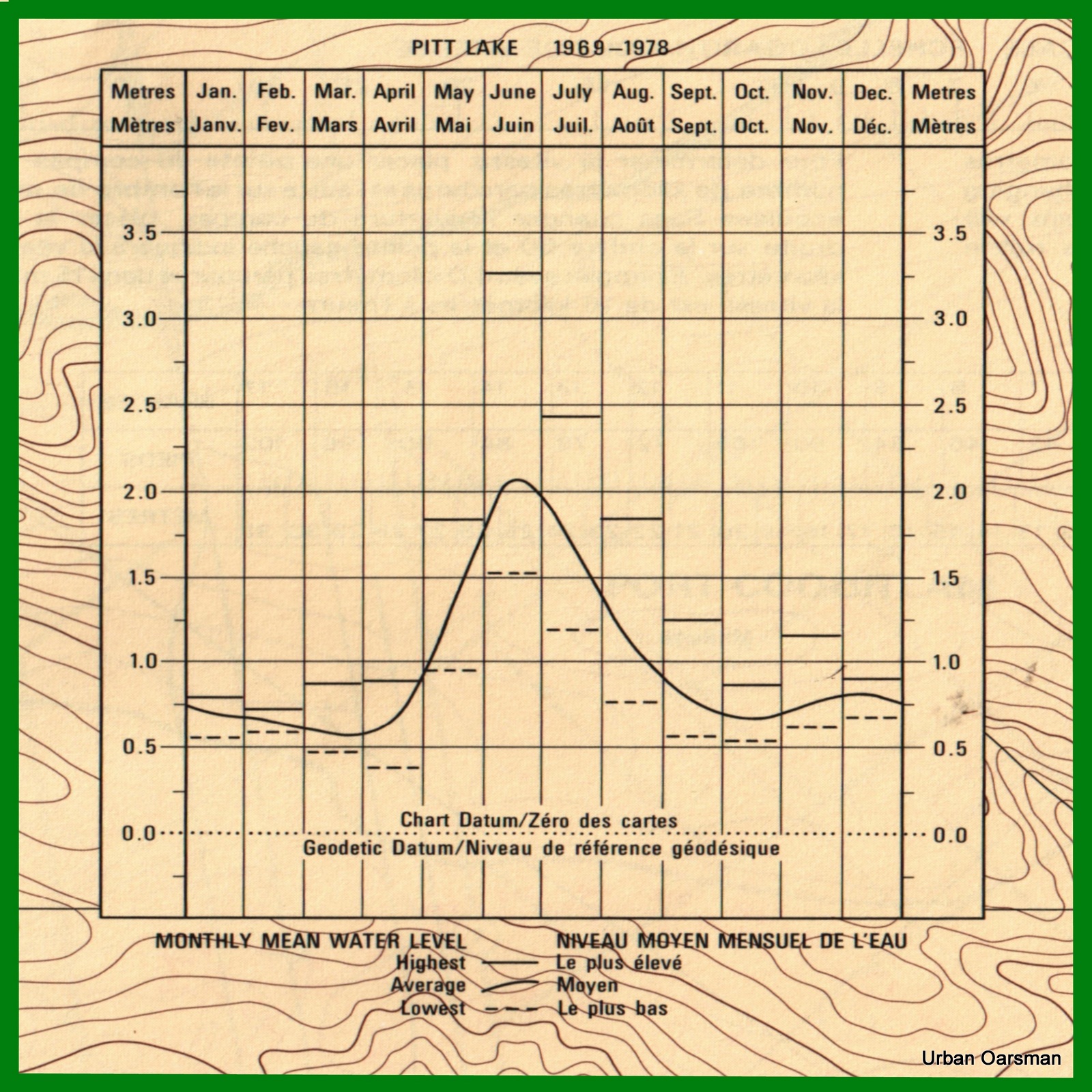
This water level chart for Pitt Lake was taken from the Pitt River and/et Pitt Lake chart #3062.
Some of the lowest water levels for the lake are in the winter. I need to have a high tide to go here.
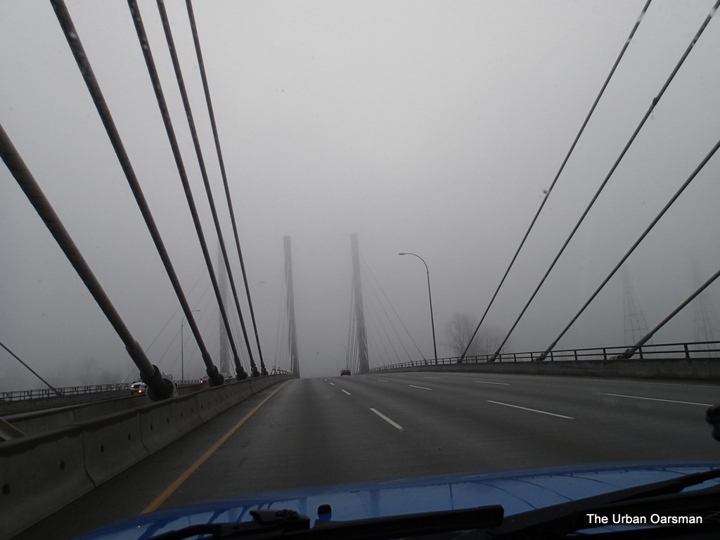
Crossing the Pitt River Bridge at 9:30am, January 18th, 2014. A little foggy this morning.
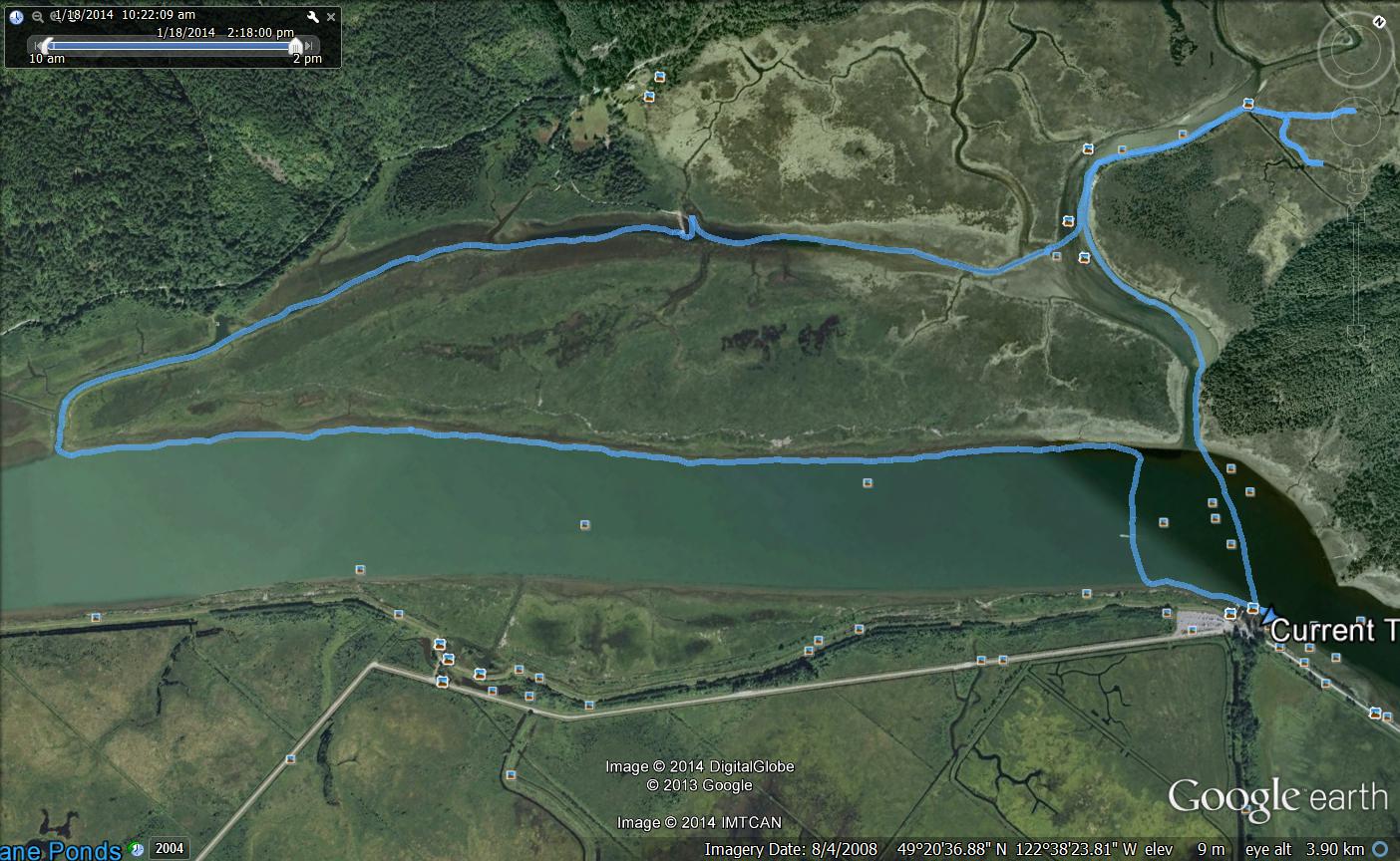
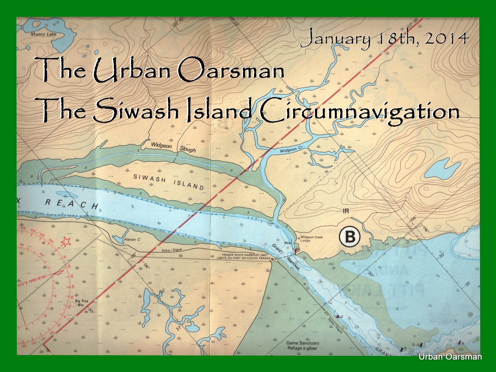
The route I took rowing around Siwash Island.
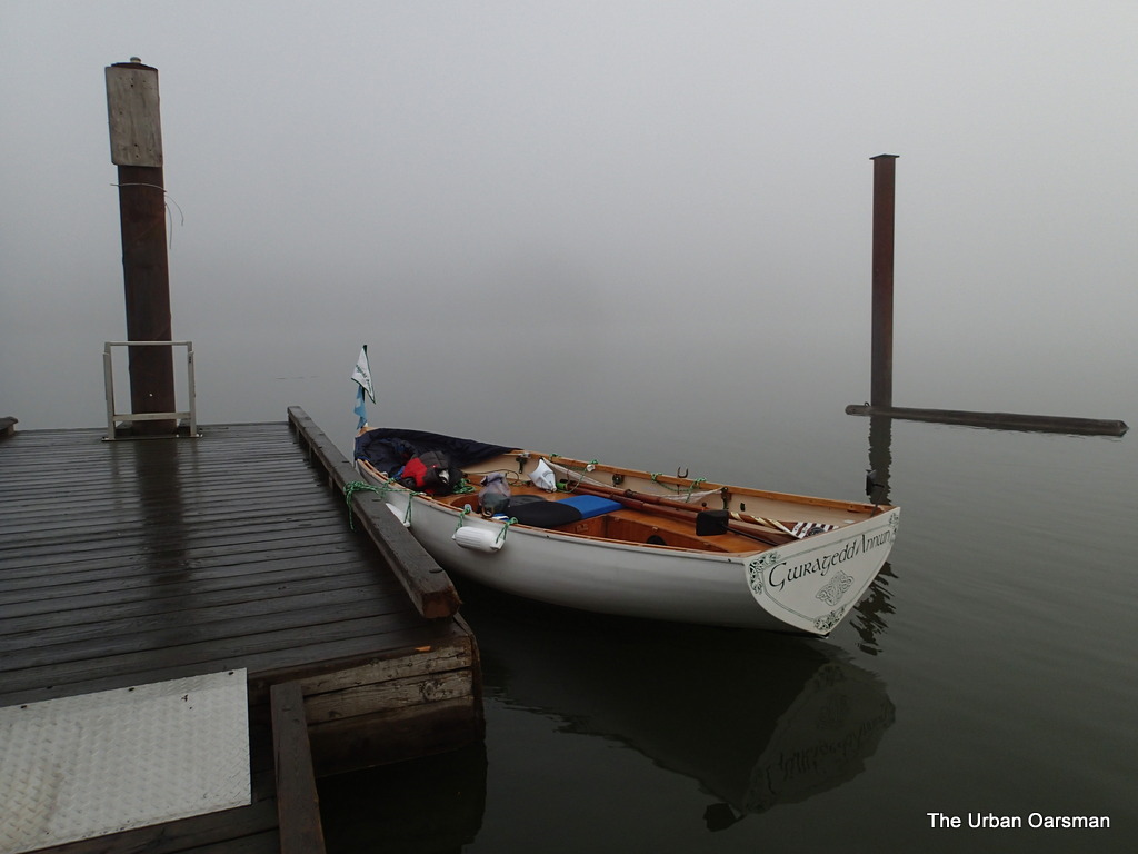
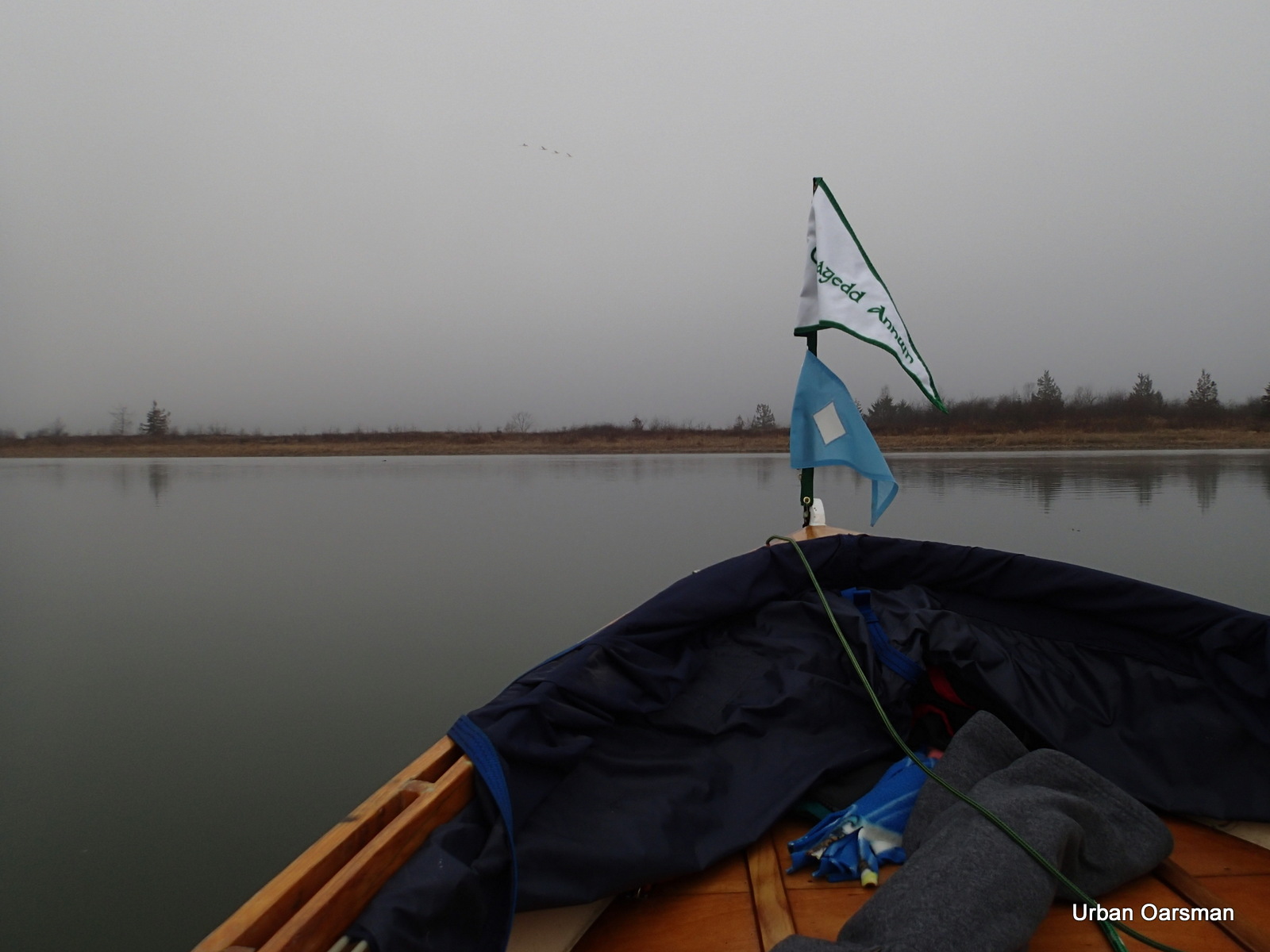
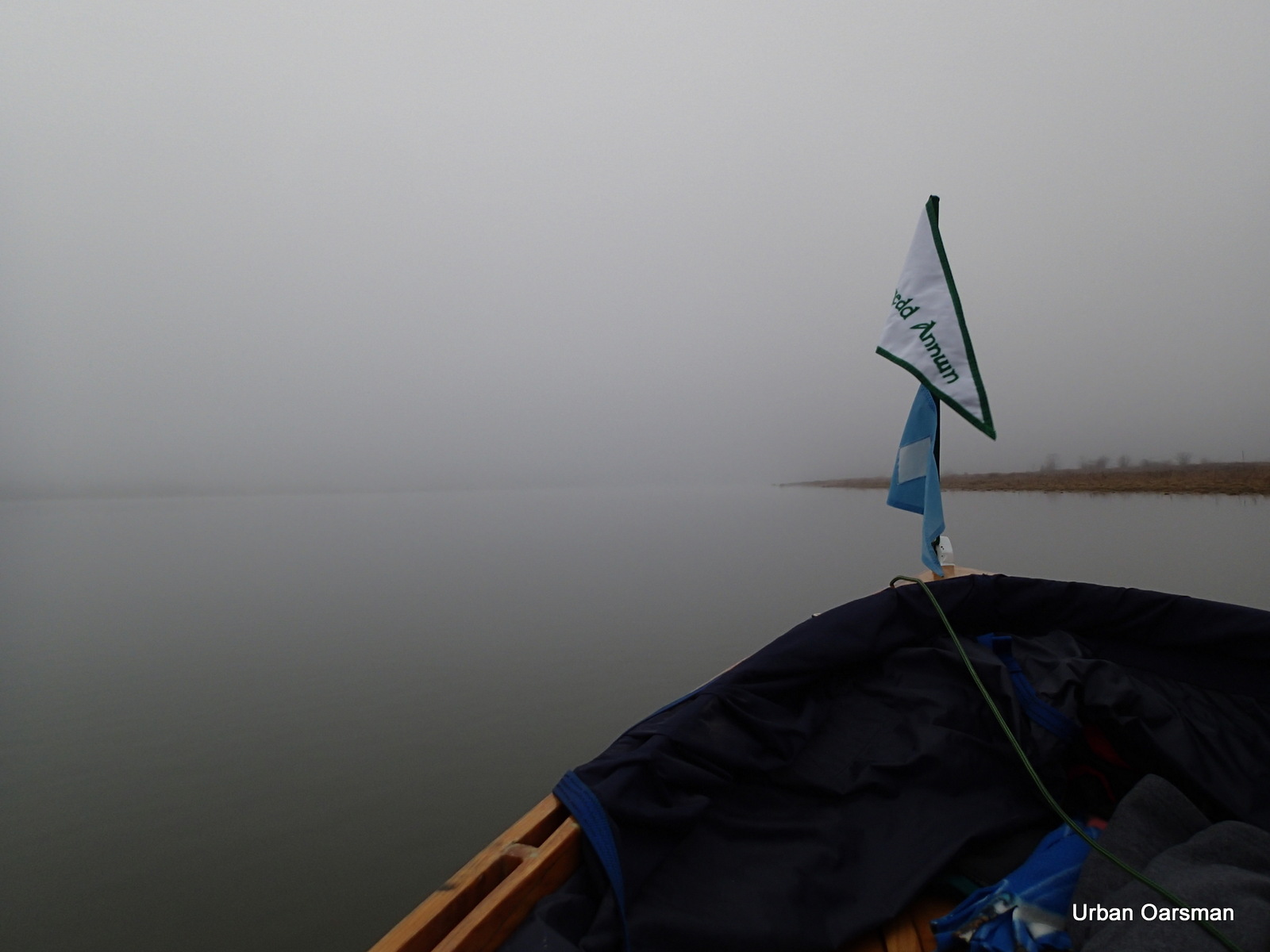
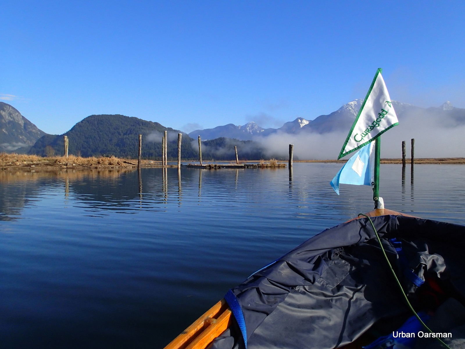
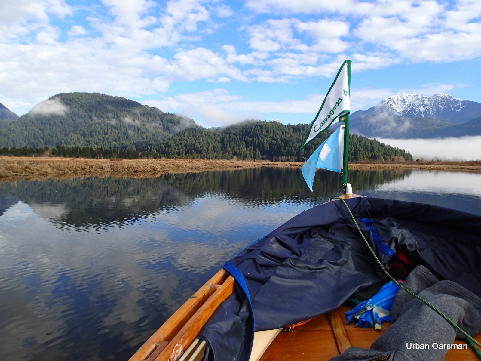
Gwragedd Annwn at the Grant Narrows boat launch dock.
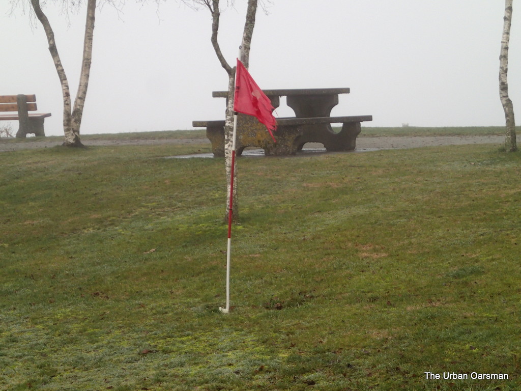
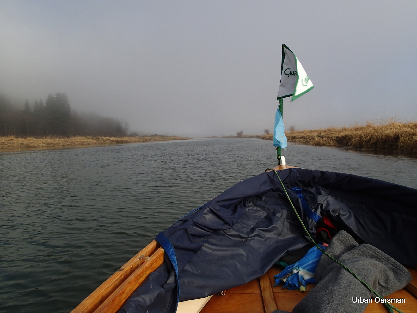
The wind flag shows almost no wind.
10:23am, leaving the Grant Narrows dock. The tide is flowing 1.5 knots upstream.
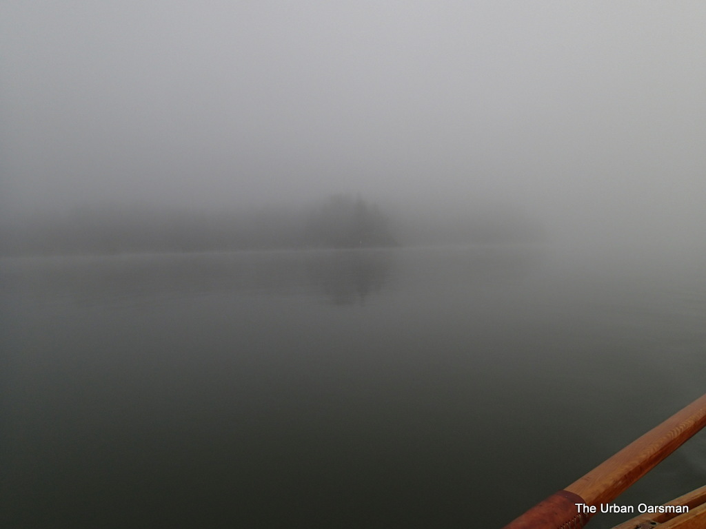
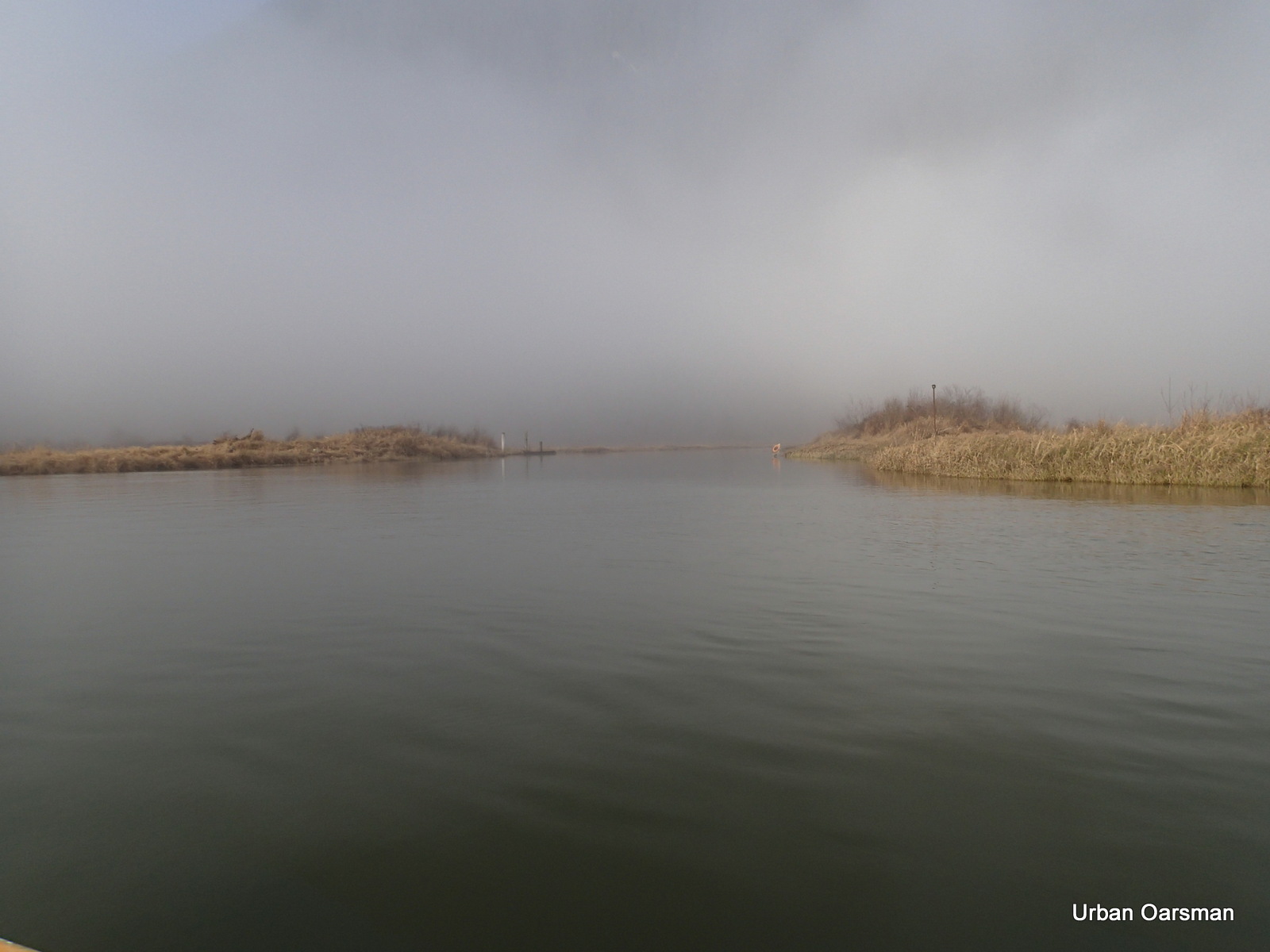
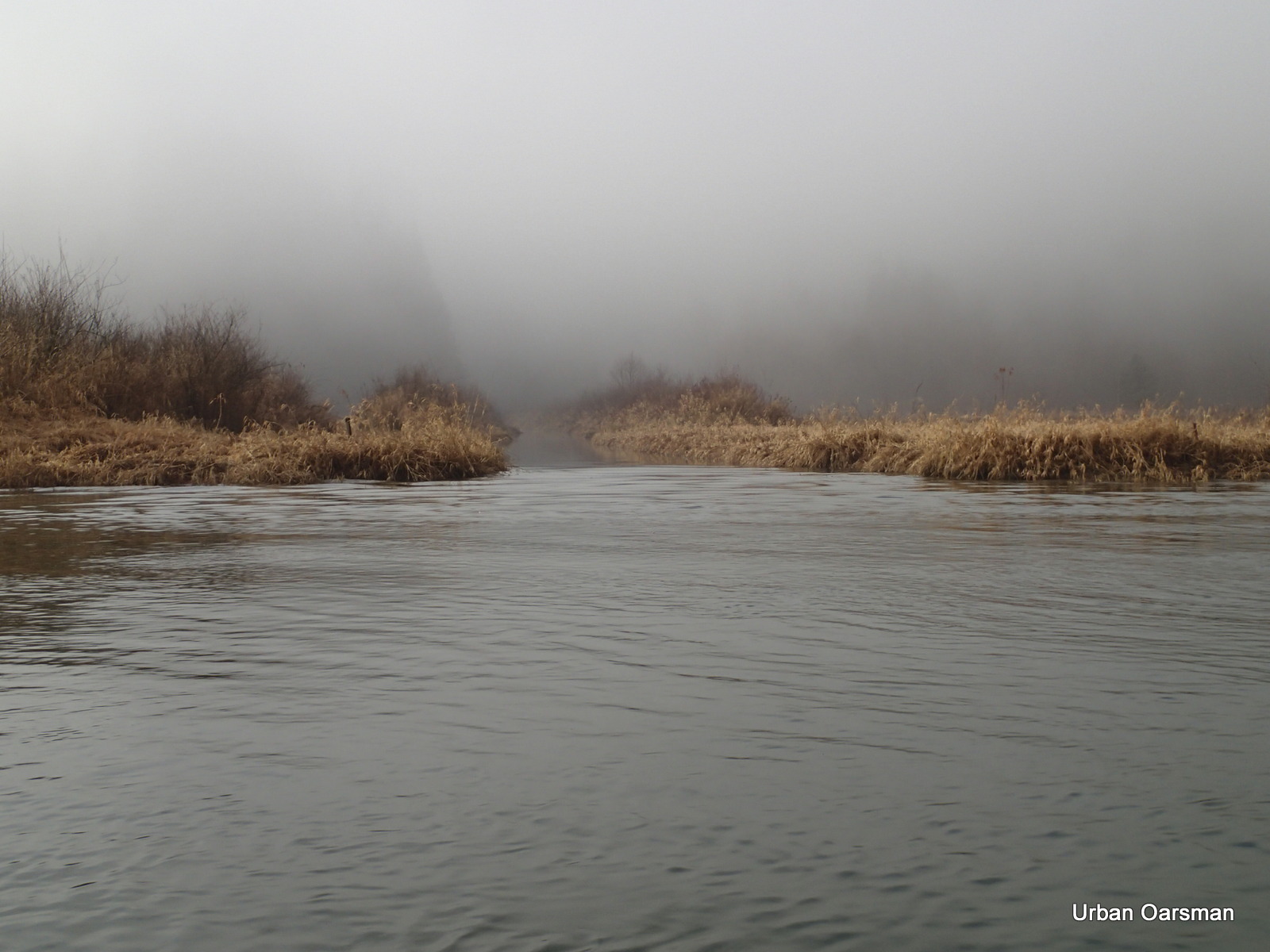
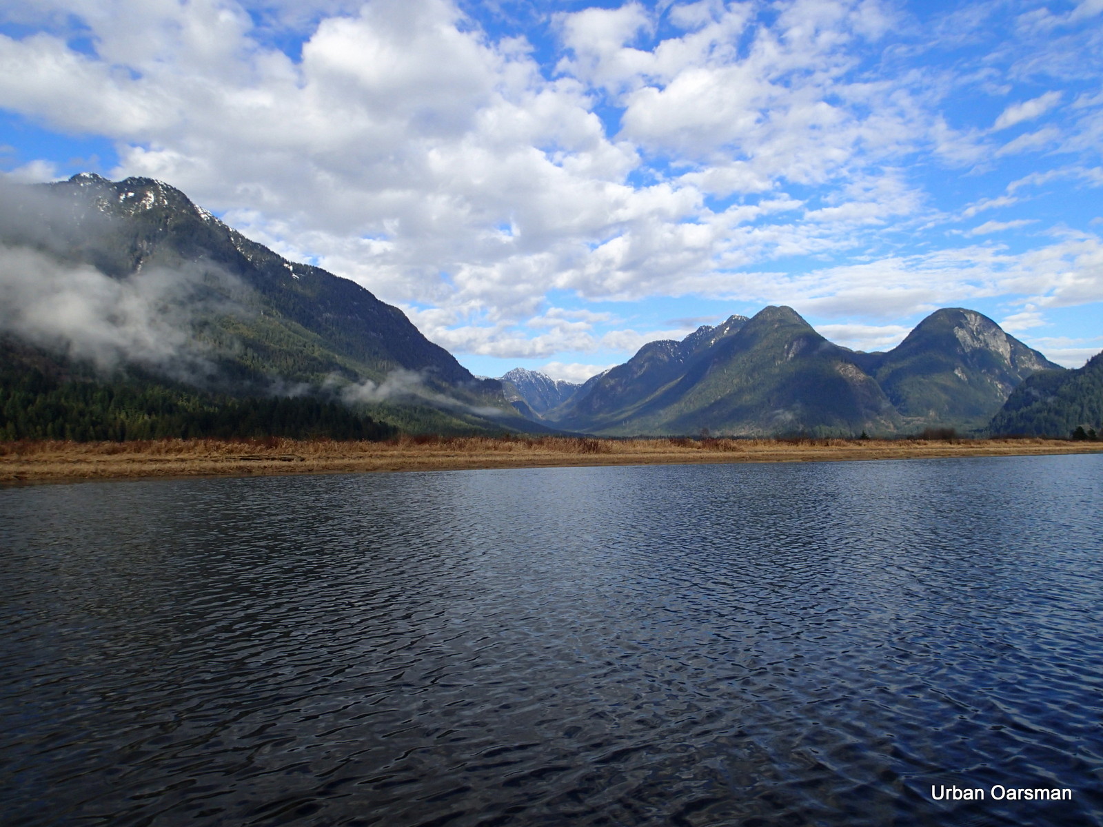
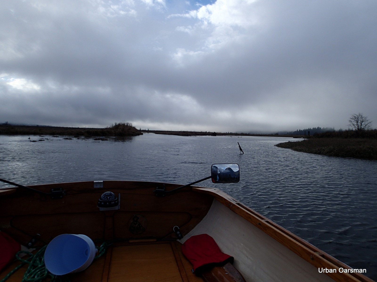
The point North of Grant Narrows is shrouded with fog.
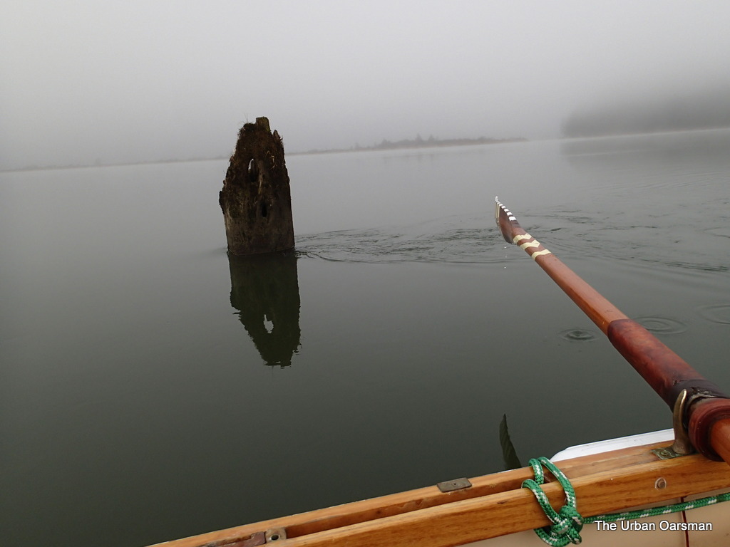
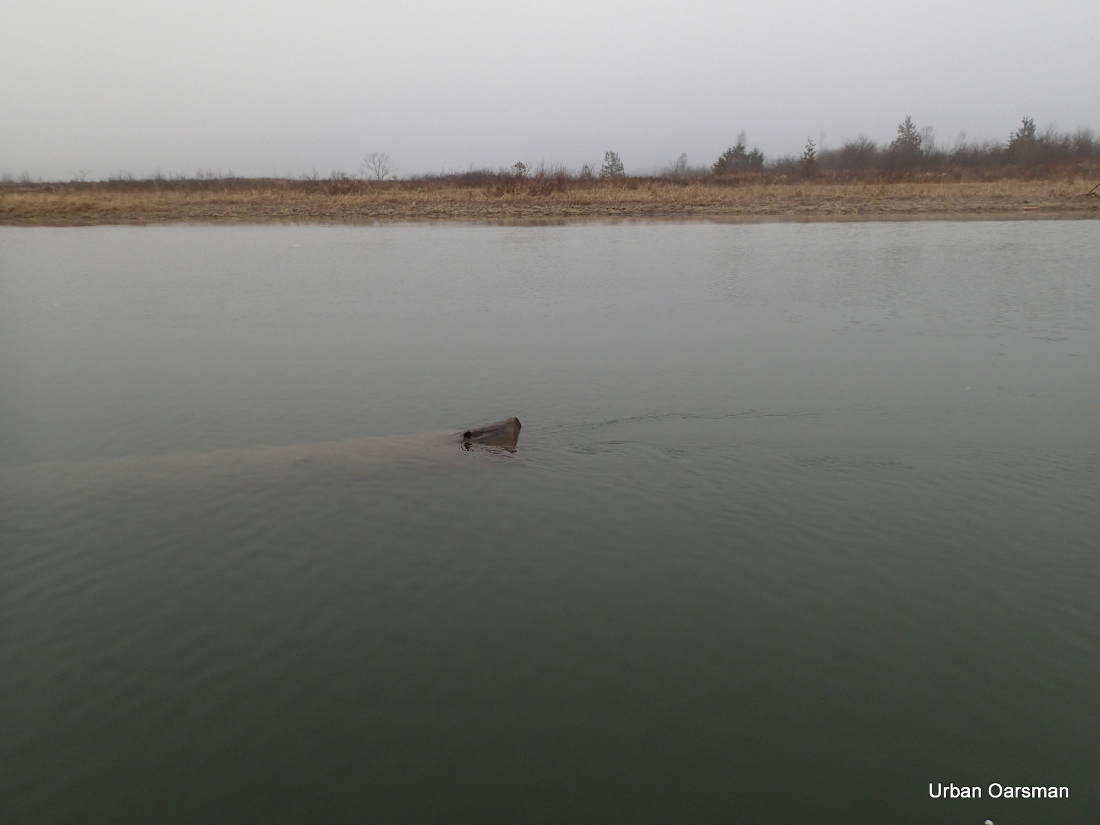
A piling on the East side of Pitt River, showing the tide current flowing upstream. The entrance to Widgeon Creek is in the fog behind. The low shore line is Siwash Island.
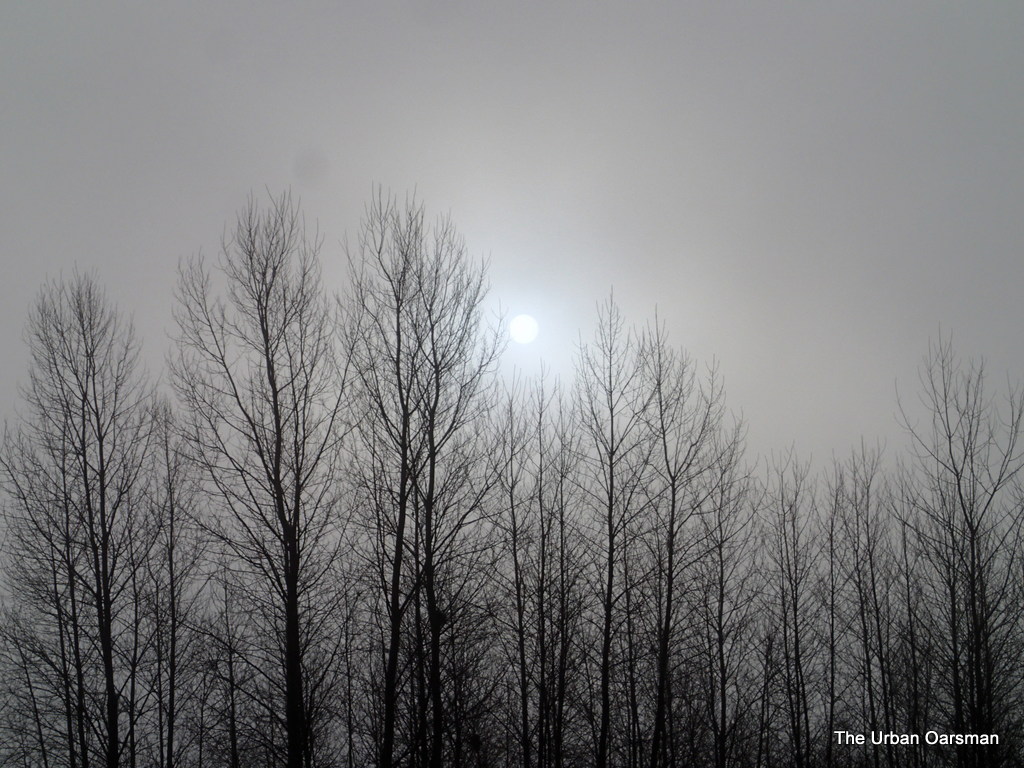
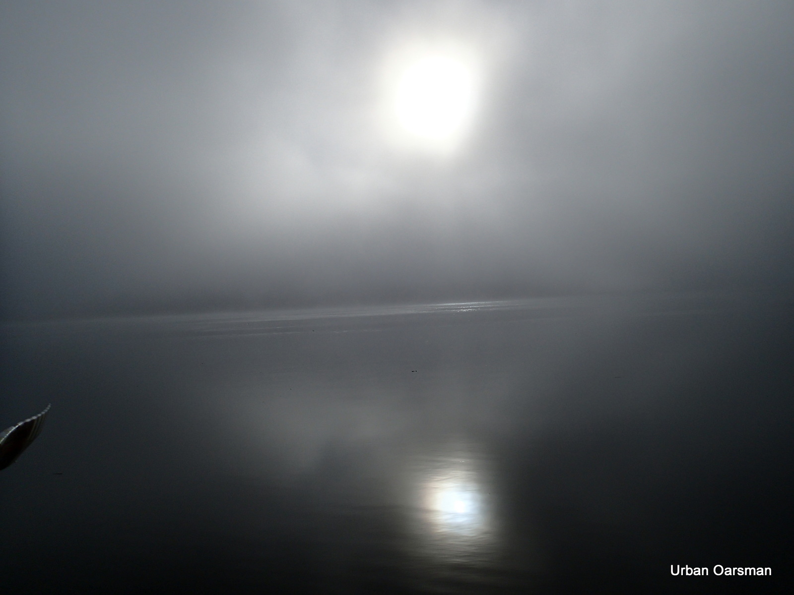
Artsy picture of the East shore with the sun peeking through the fog and trees.
Until this row, I had never noticed this depth gauge at Grant Narrows. I wonder what the scale is.
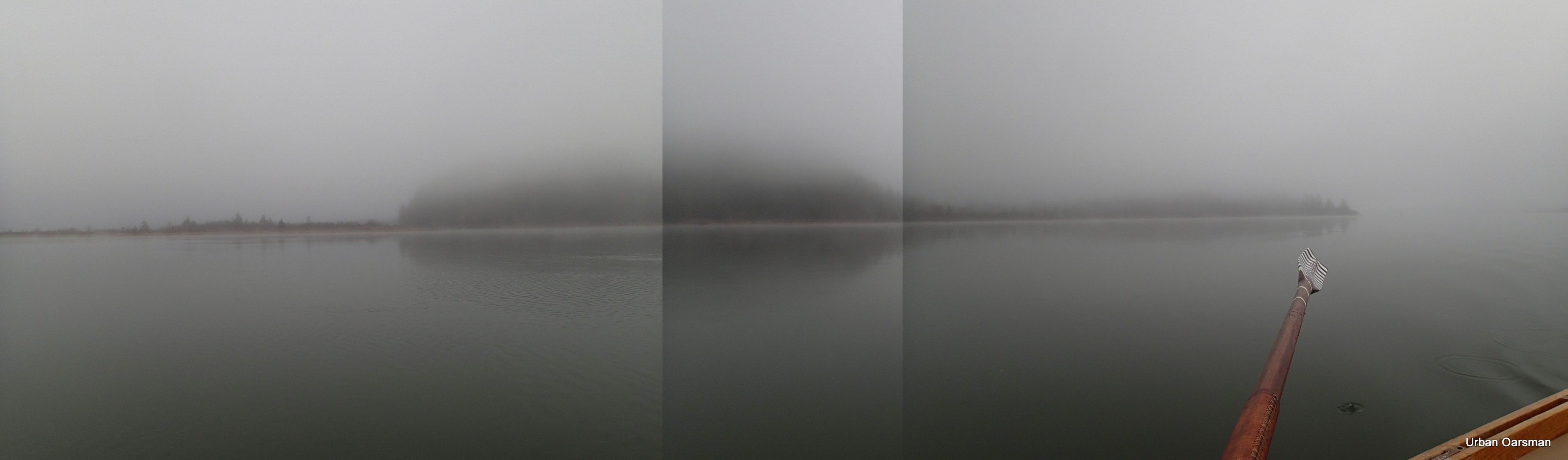
I stitched together this panorama view of the entrance to Widgeon Creek on the West shore.
I row across Grant Narrows to Siwash Island. The Island does not rise very high.
The upstream tidal current is not flowing as fast on this side of Grant Narrows.
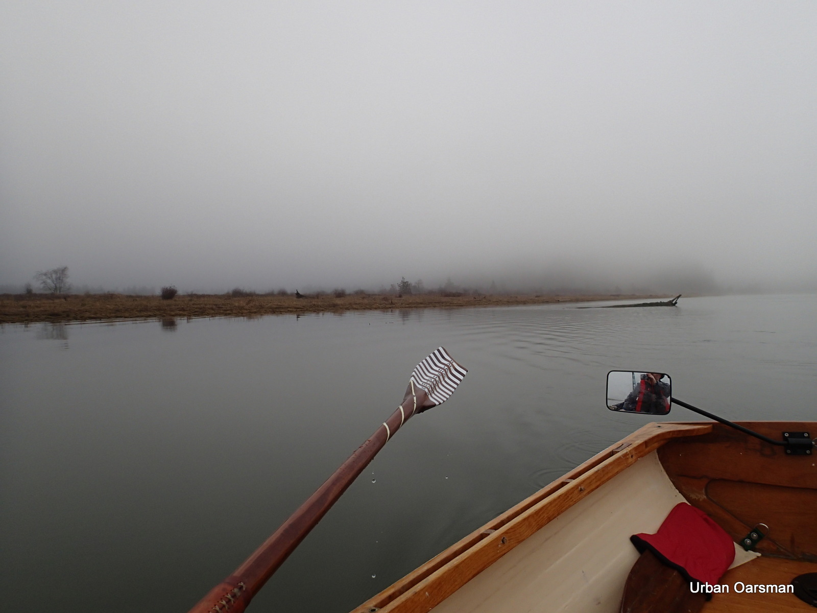
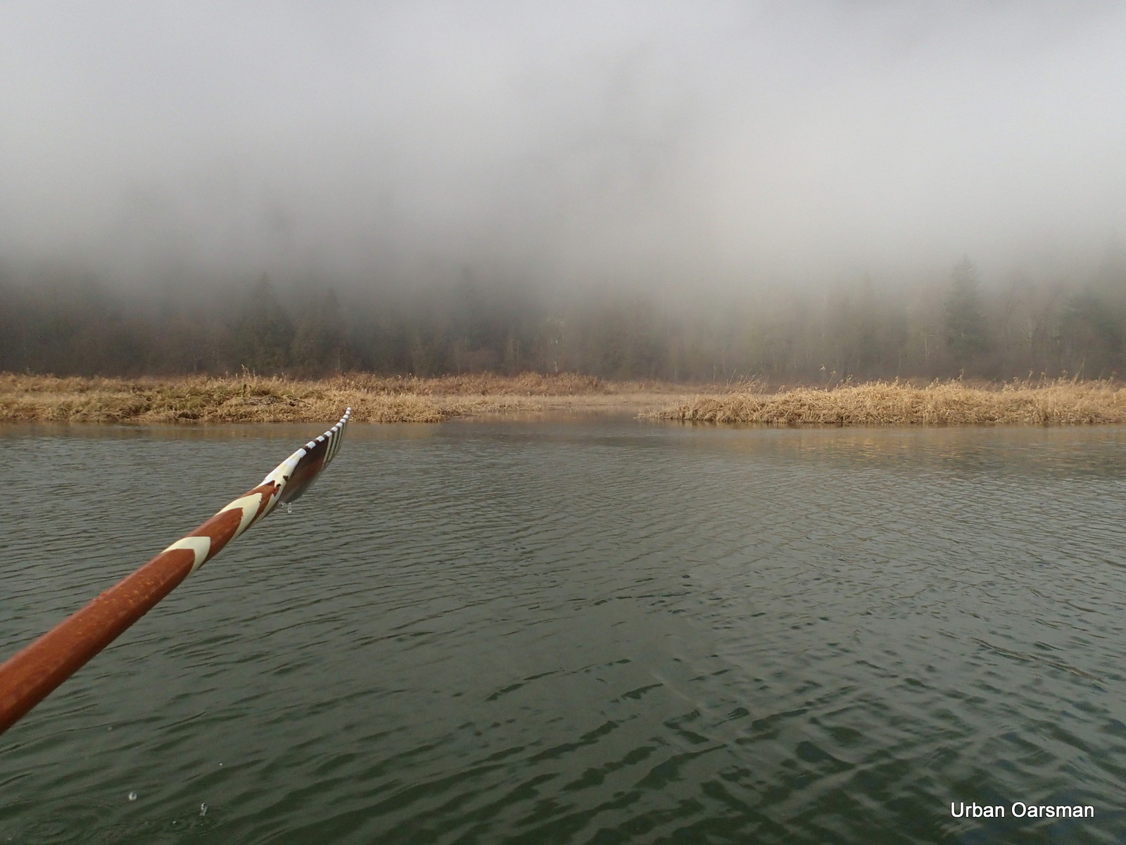
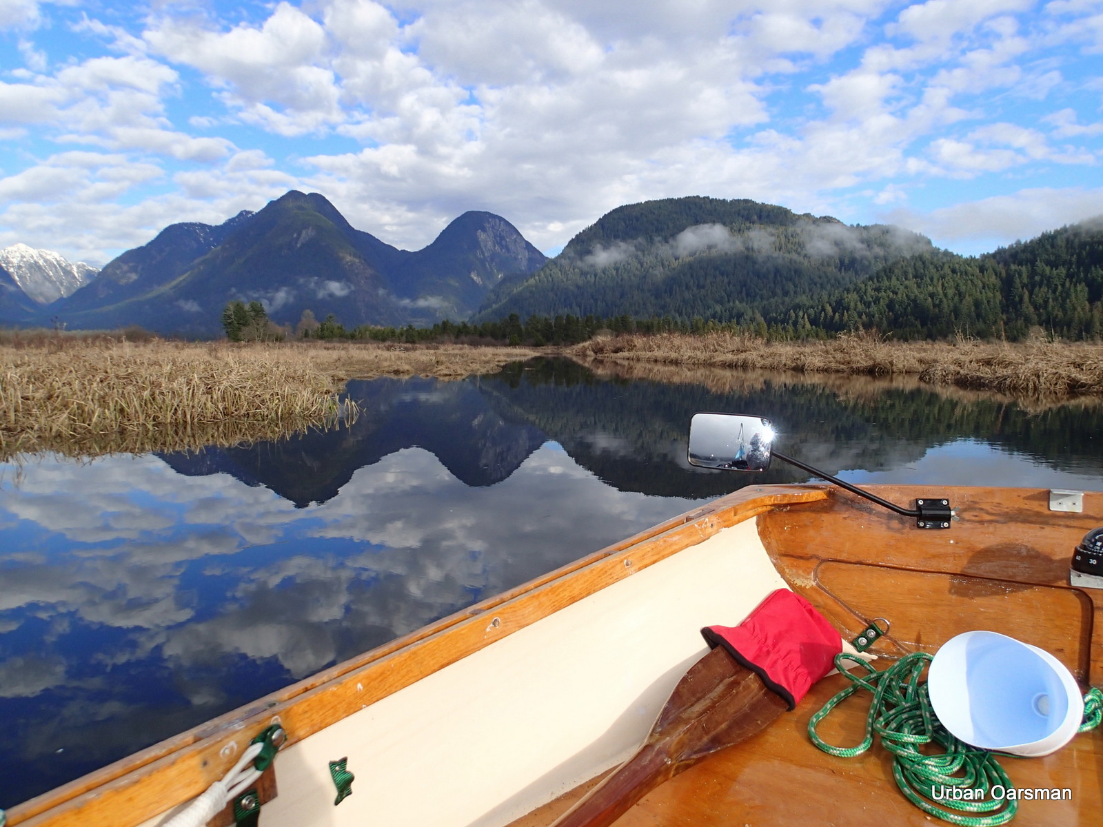
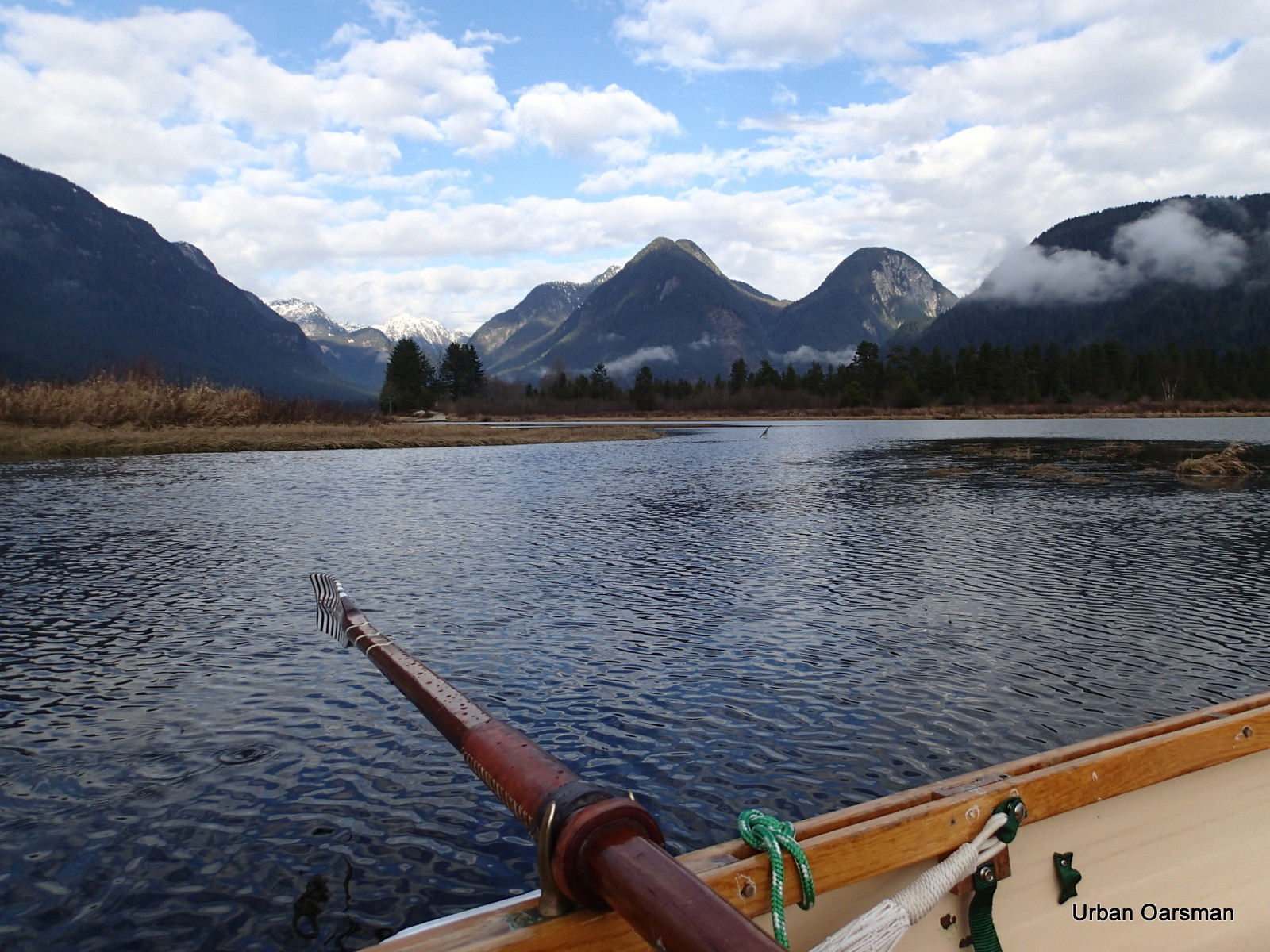
Rowing down river against the current.
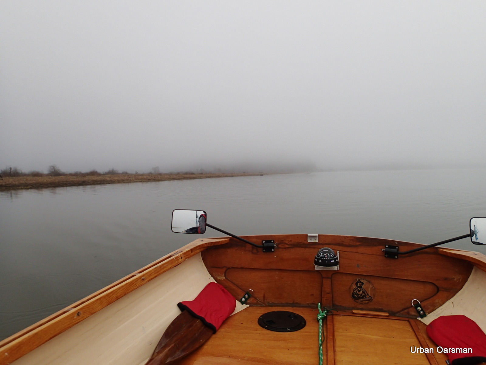
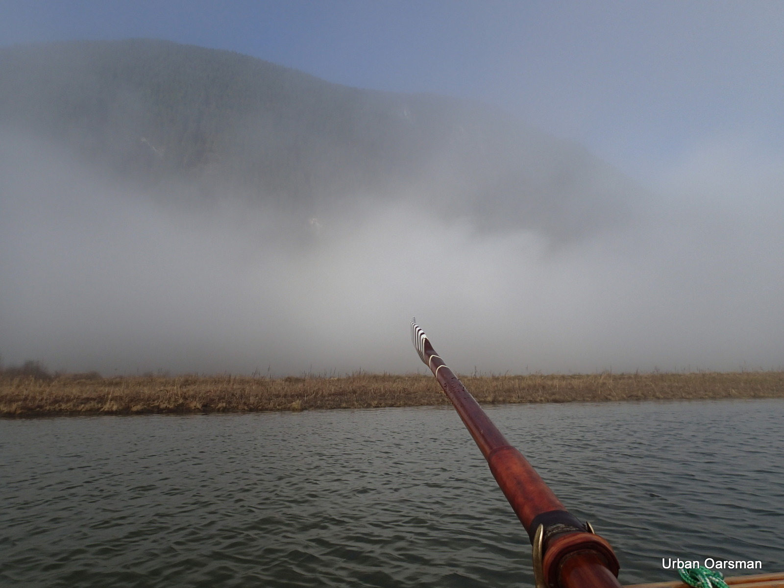
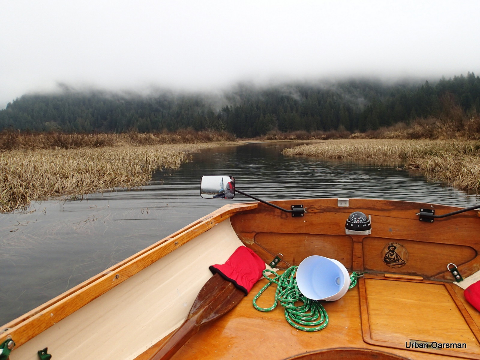
Downstream Pitt River. The way is quite foggy.
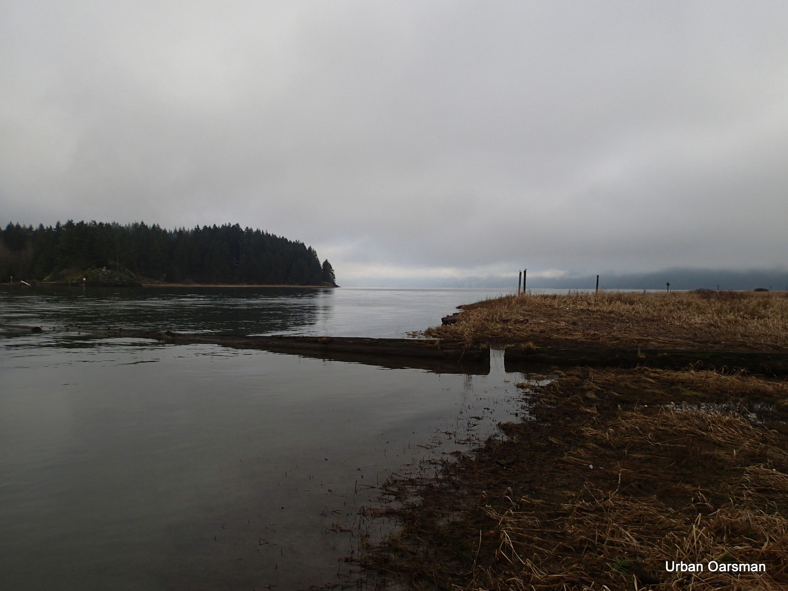
Looking North. Widgeon Point is obscured by the fog.
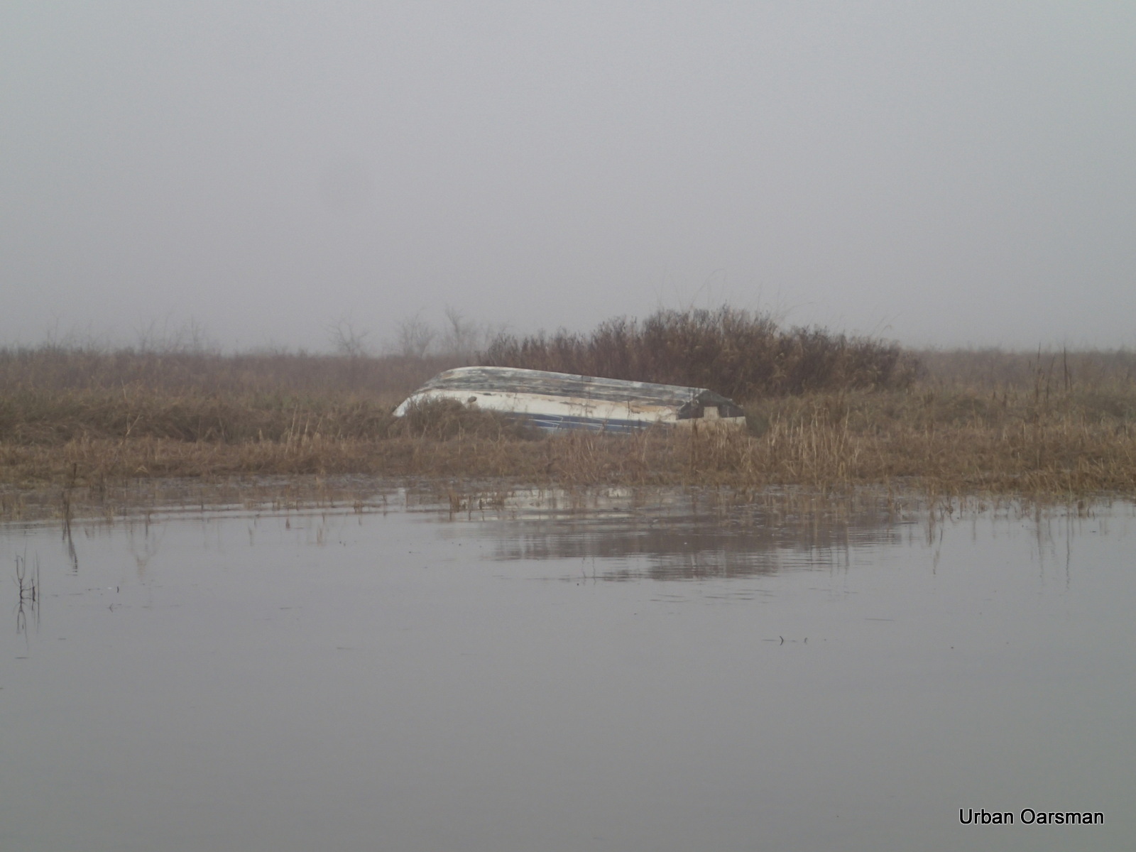
Dead overturned boat on Siwash Island.
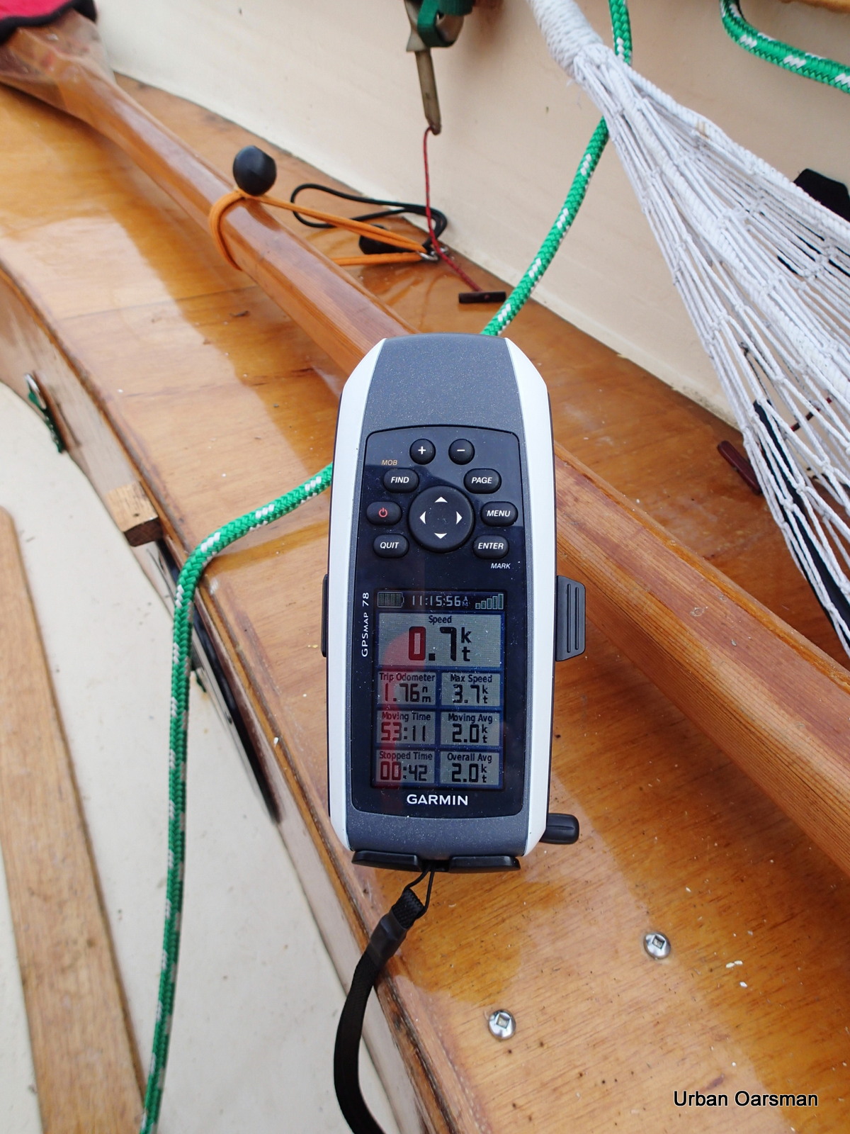
I stop rowing and let Gwragedd Annwn drift with the current. .7 knots upriver.
The morning fog begins to burn off.
Open sky to the West.
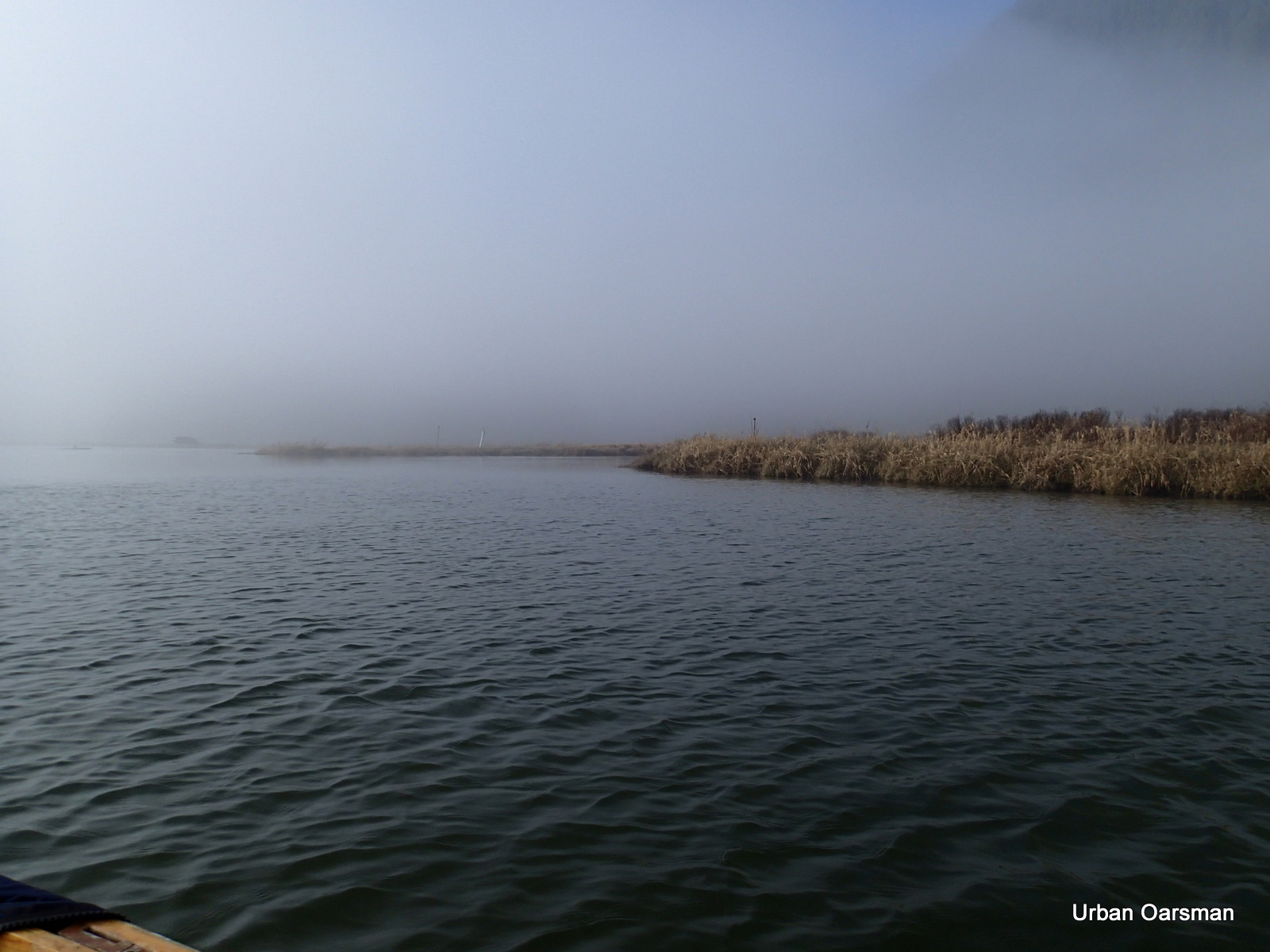
The entrance to Widgeon Slough.
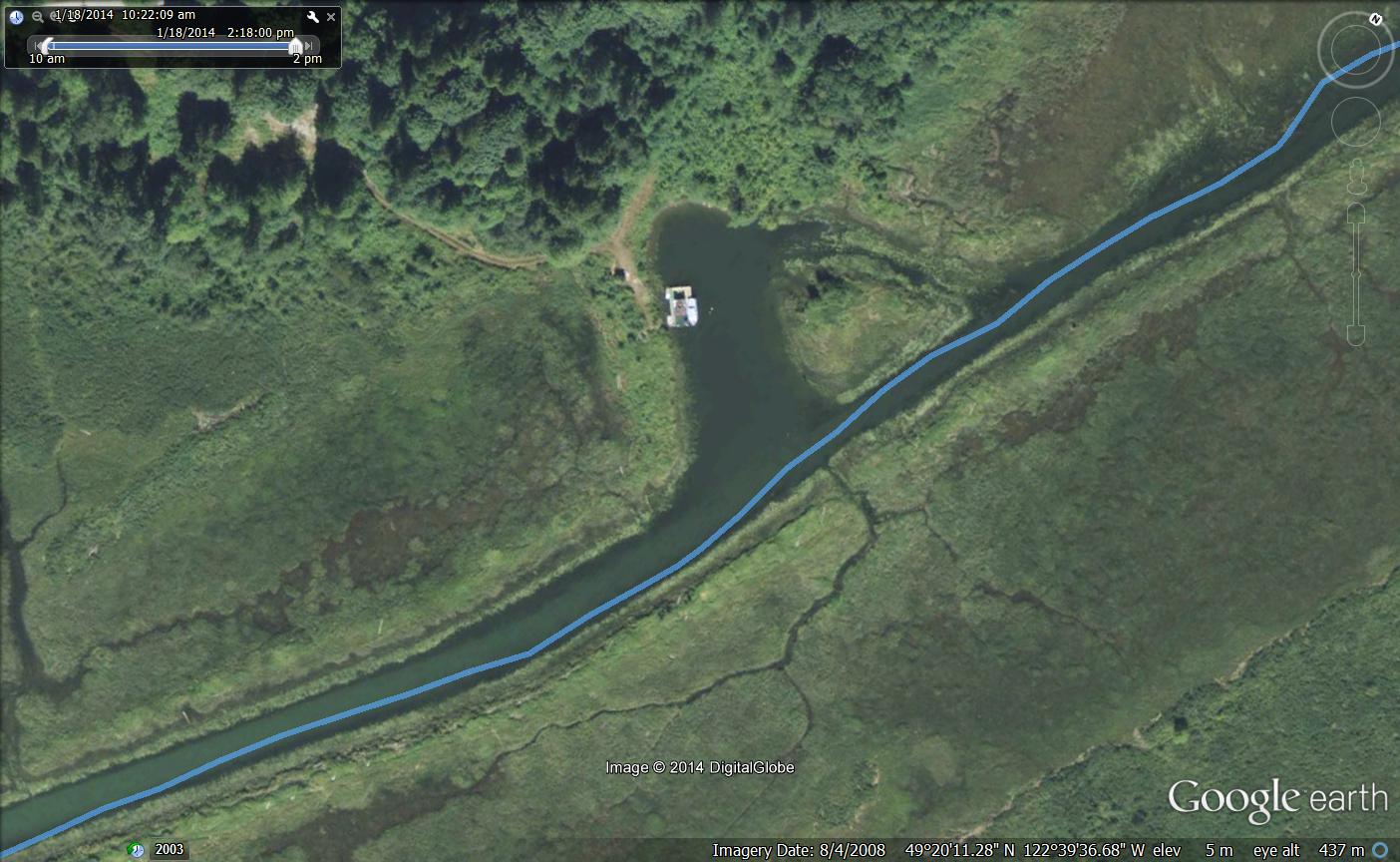
Google Earth picture of my route.
Rowing into Widgeon Slough.
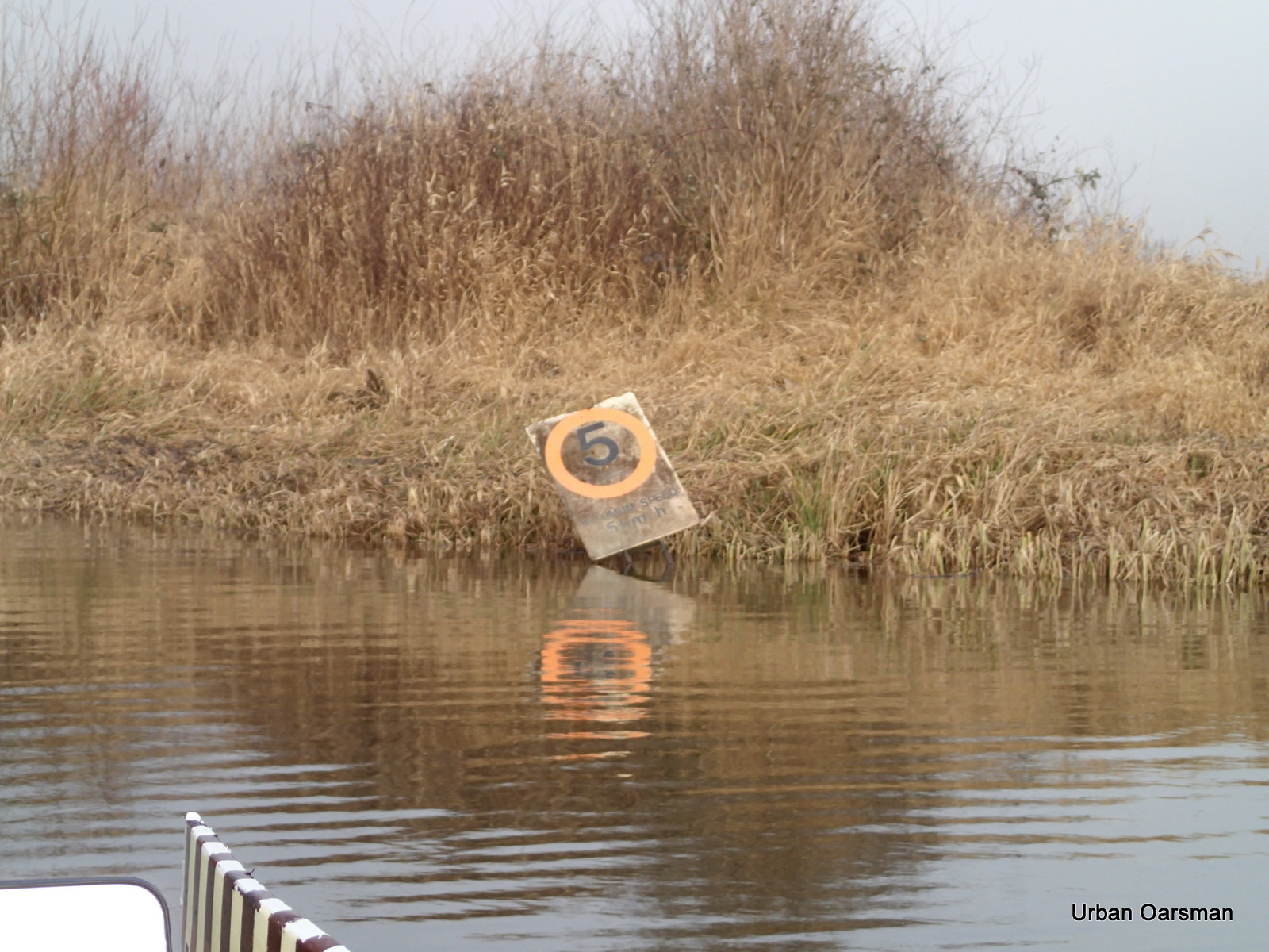
Unlike Widgeon Creek, Widgeon Slough has a speed limit.
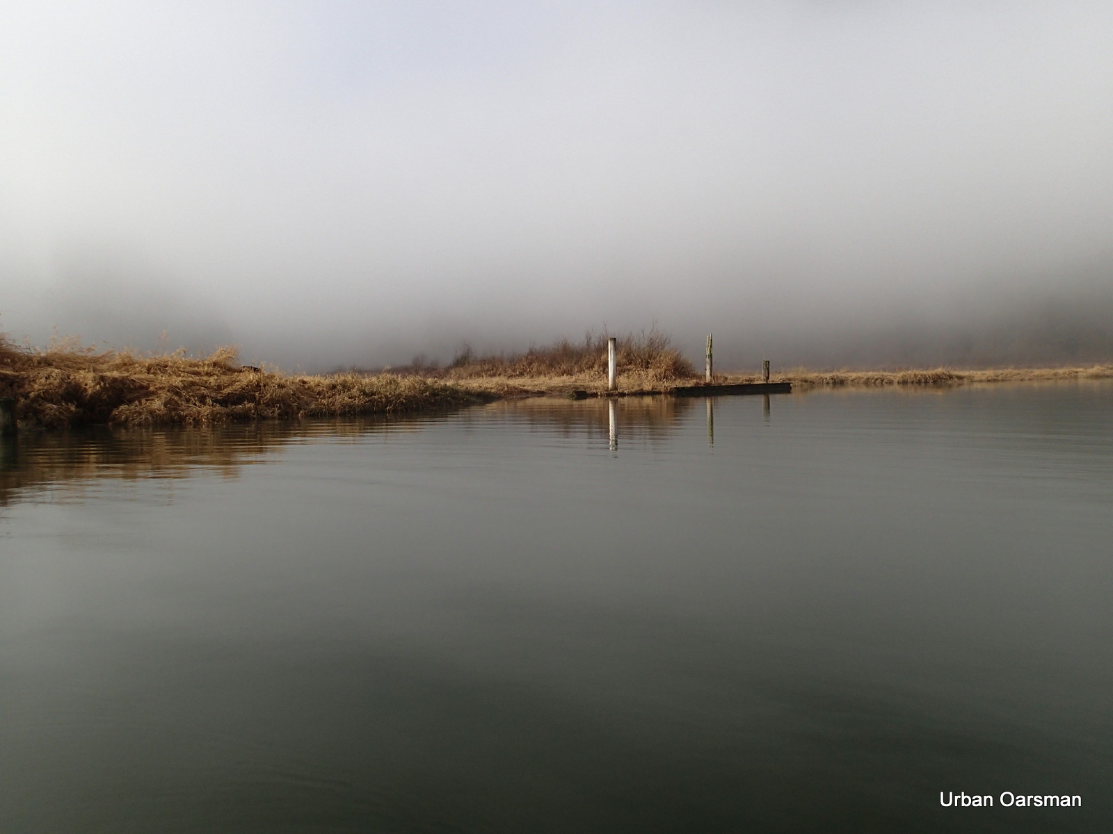
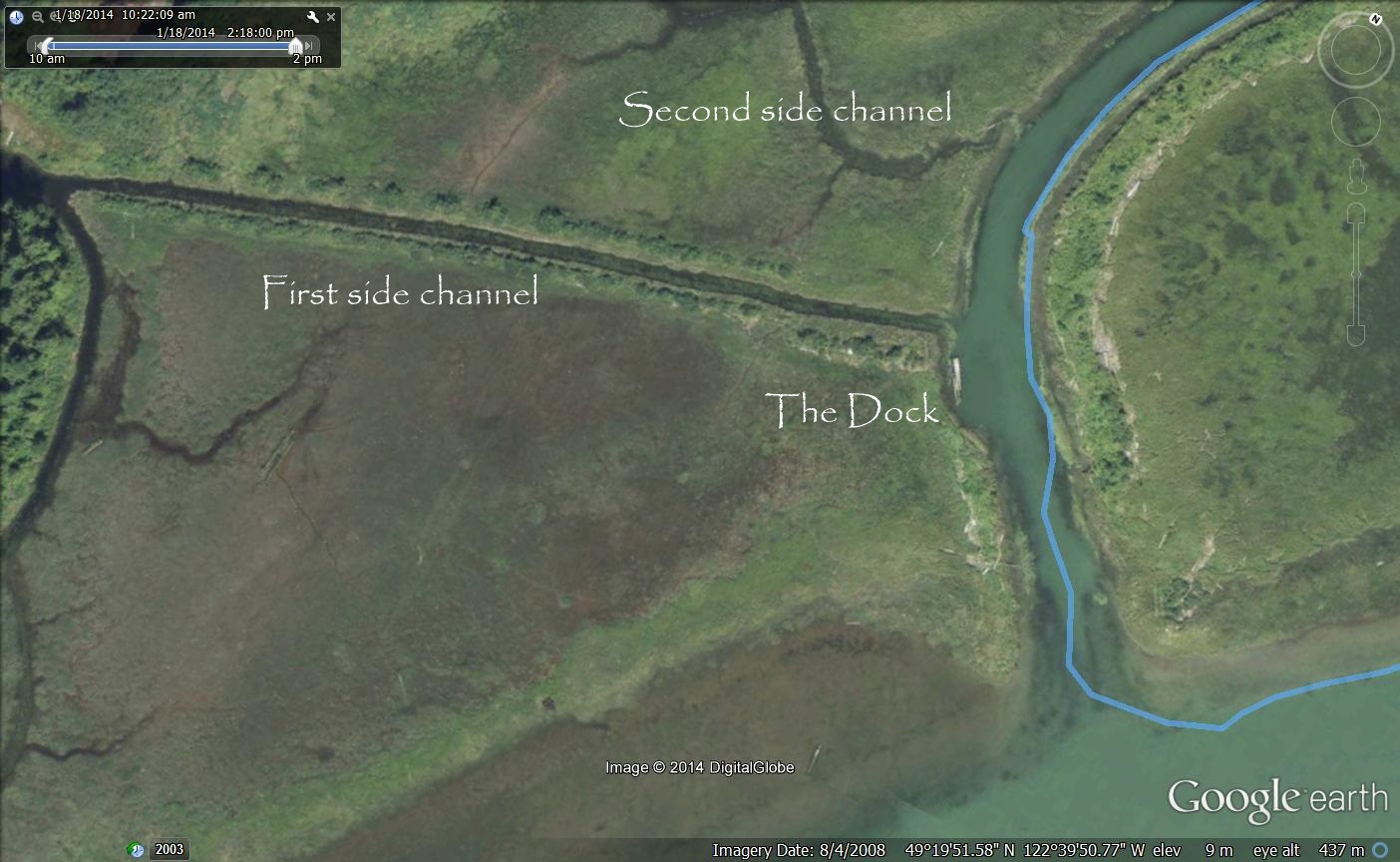
The dock just inside the entrance.
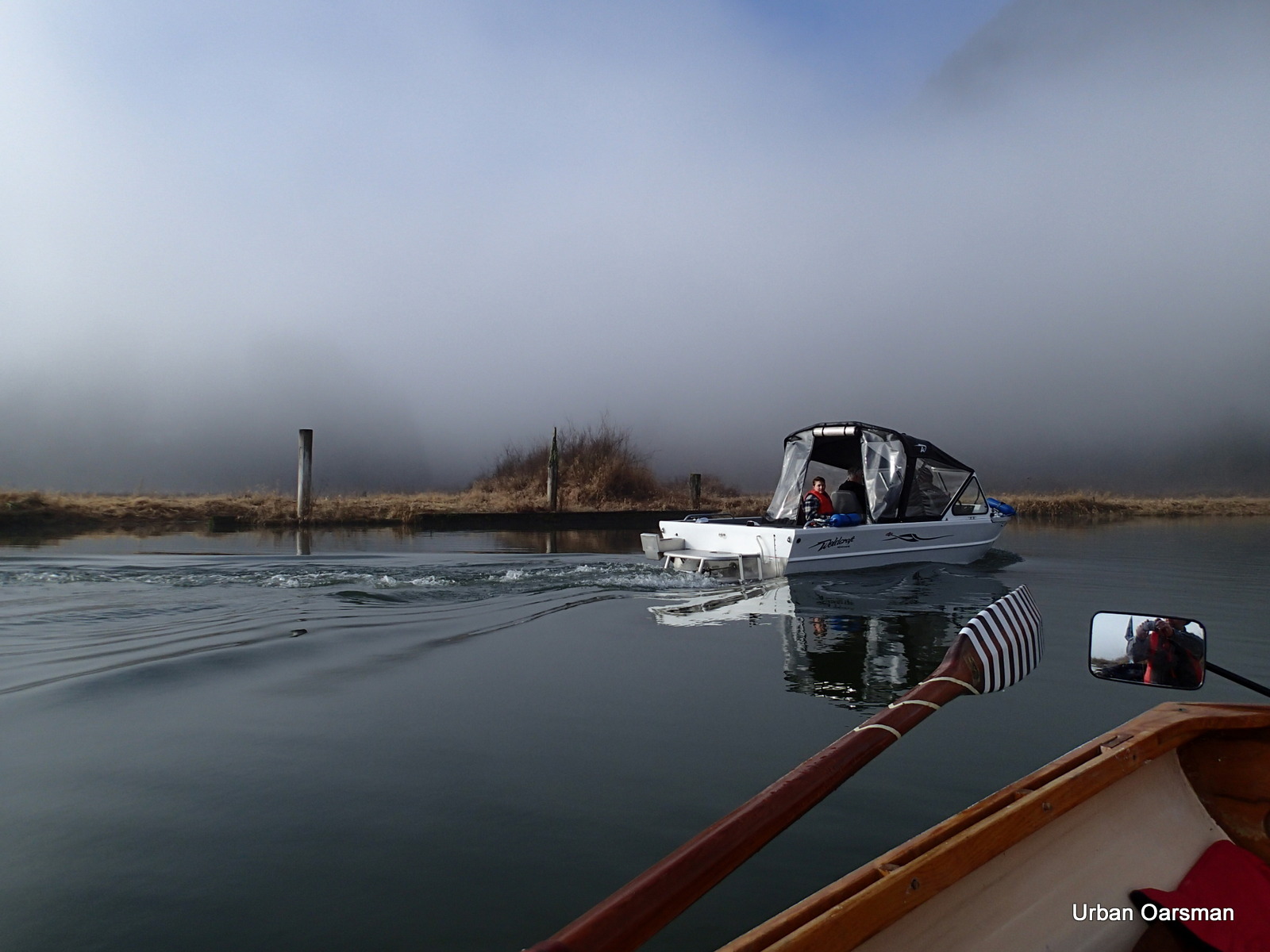
A power boat goes in for a look, the dock is in the background.
The first side channel heading to the South-West.
The second side channel heads to the South-West as well.
Looking North up Widgeon Slough.
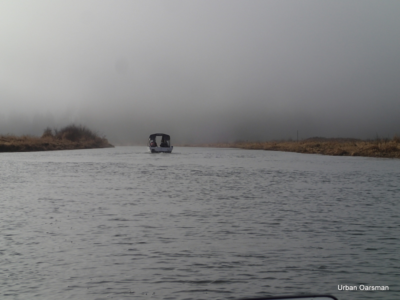
The power boat heads back to Pitt River.
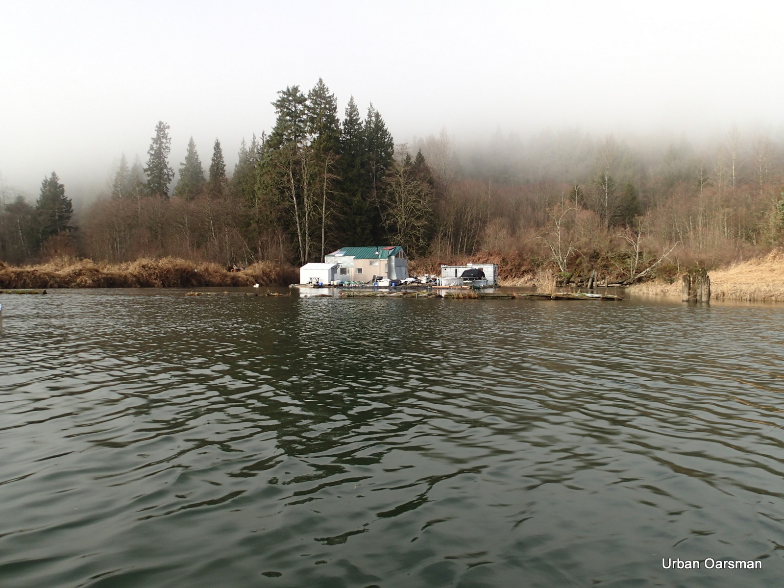
A floating camp. It is in the Google Earth Picture below:
I continue North up Widgeon Slough.
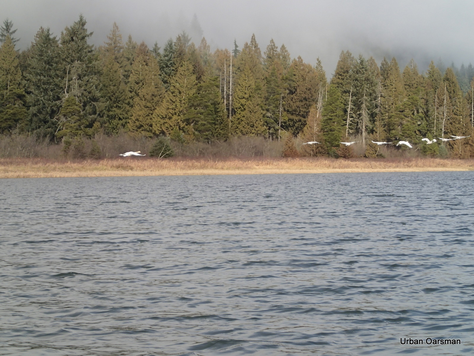
I startle a flock of Trumpeter Swans. They fly away up channel.

The sky is clearing from the North. I am rowing into sunshine!
A side channel to the West.
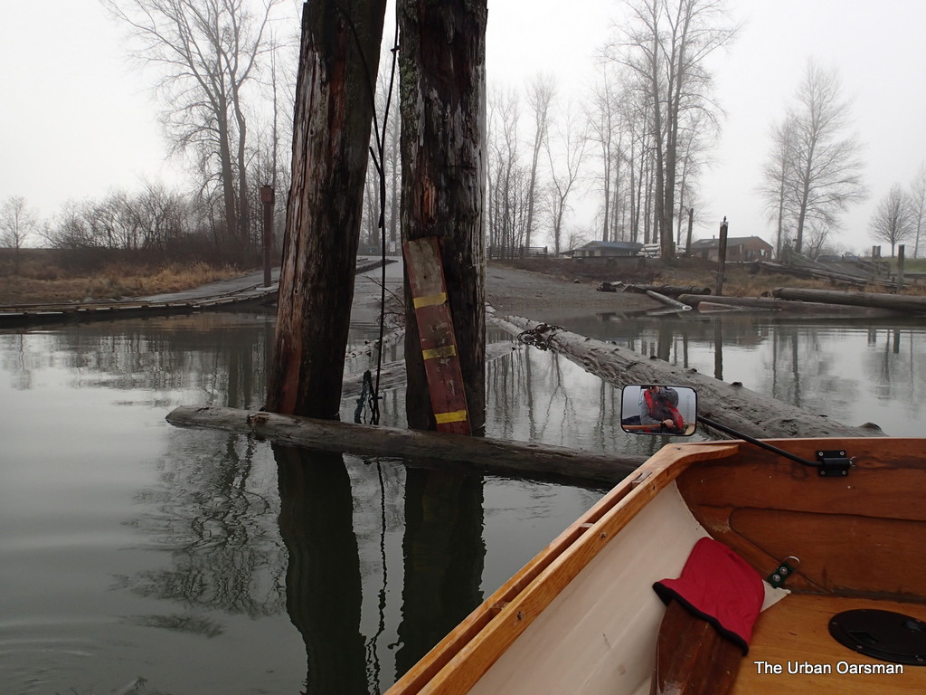
The Google Earth picture shows a structure should be here. Now there only pilings.
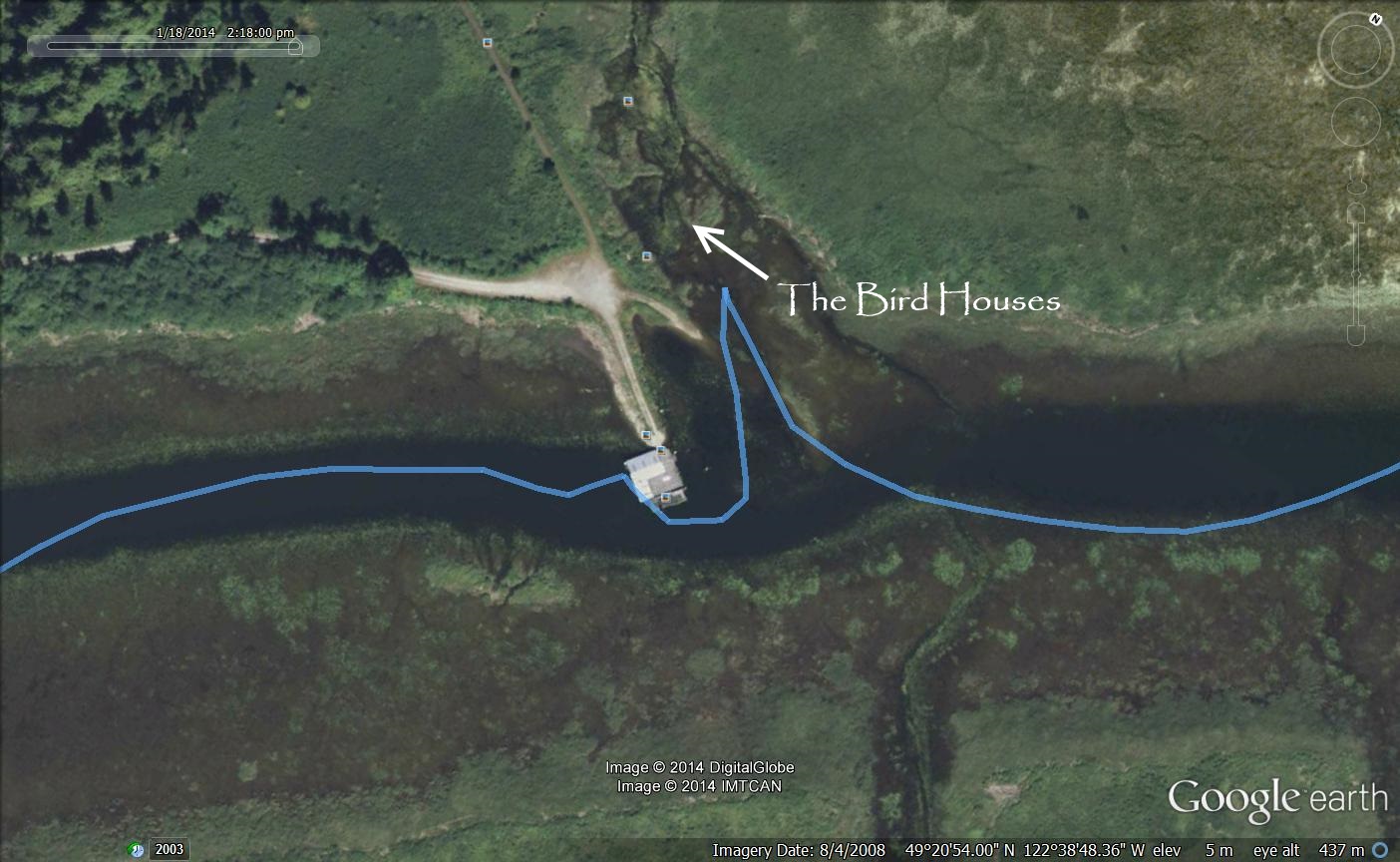
Google Earth image of the structure that is no longer there.
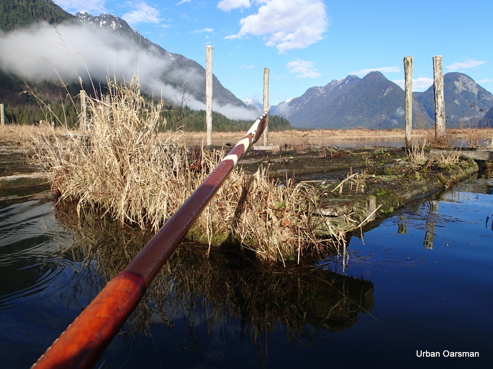
All that is left of the building.
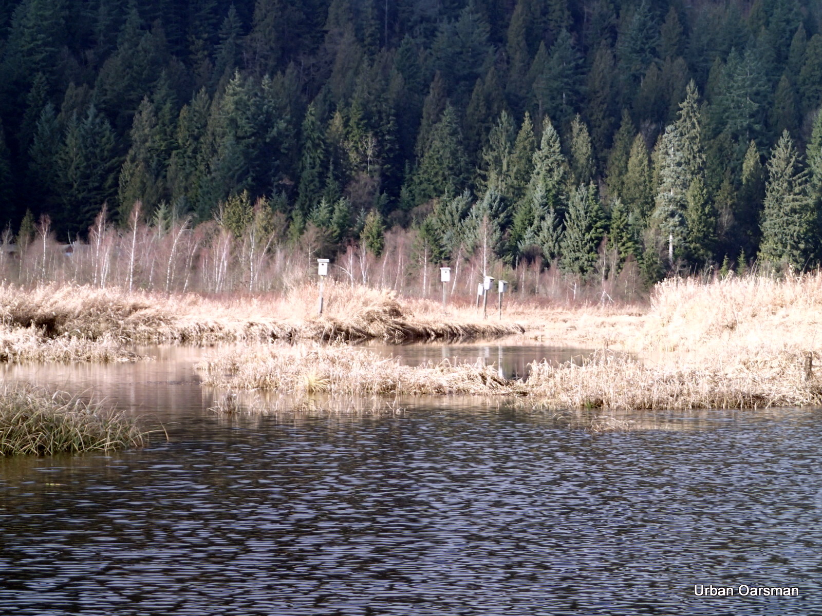
Bird boxes up a side channel on the West side of Widgeon Slough.
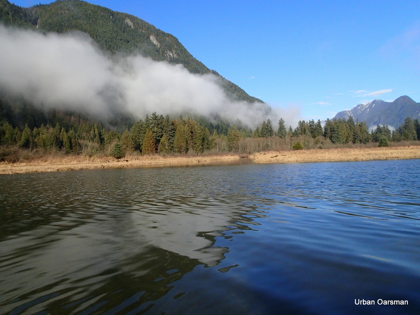
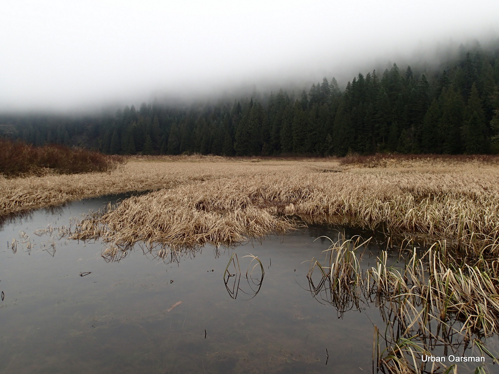
Widgeon Valley to the North.
Widgeon Point is visible to the North.

I continue rowing up Widgeon Slough.
This is the passage to Widgeon Creek.
Where Widgeon Slough and Widgeon Creek connect.
Looking South down Widgeon Slough.
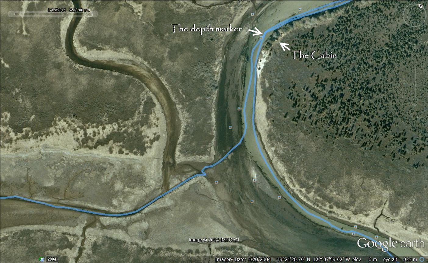
Google Earth image of where Widgeon Slough and Widgeon Creek connecting.
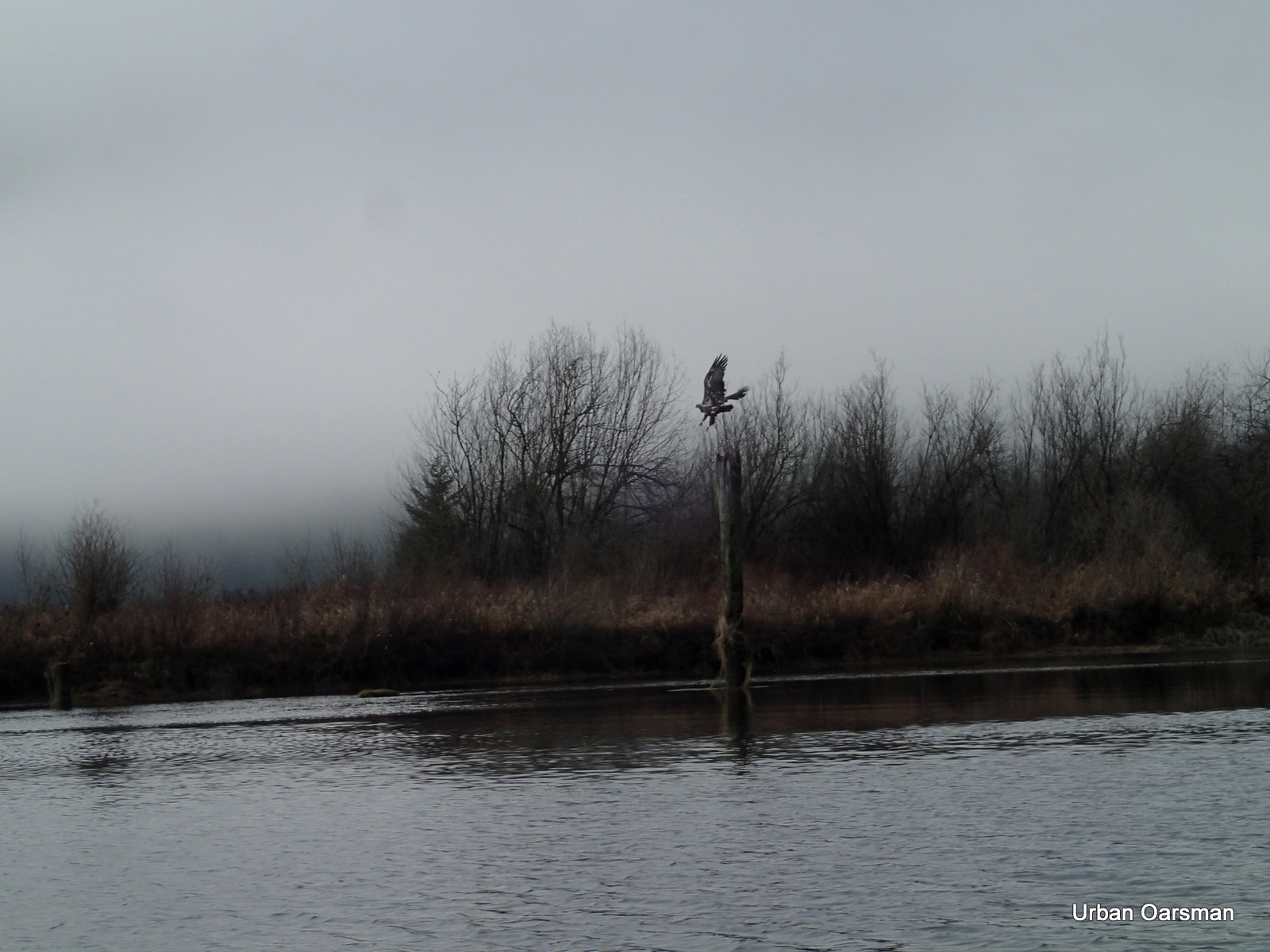
An eagle flies away from me.
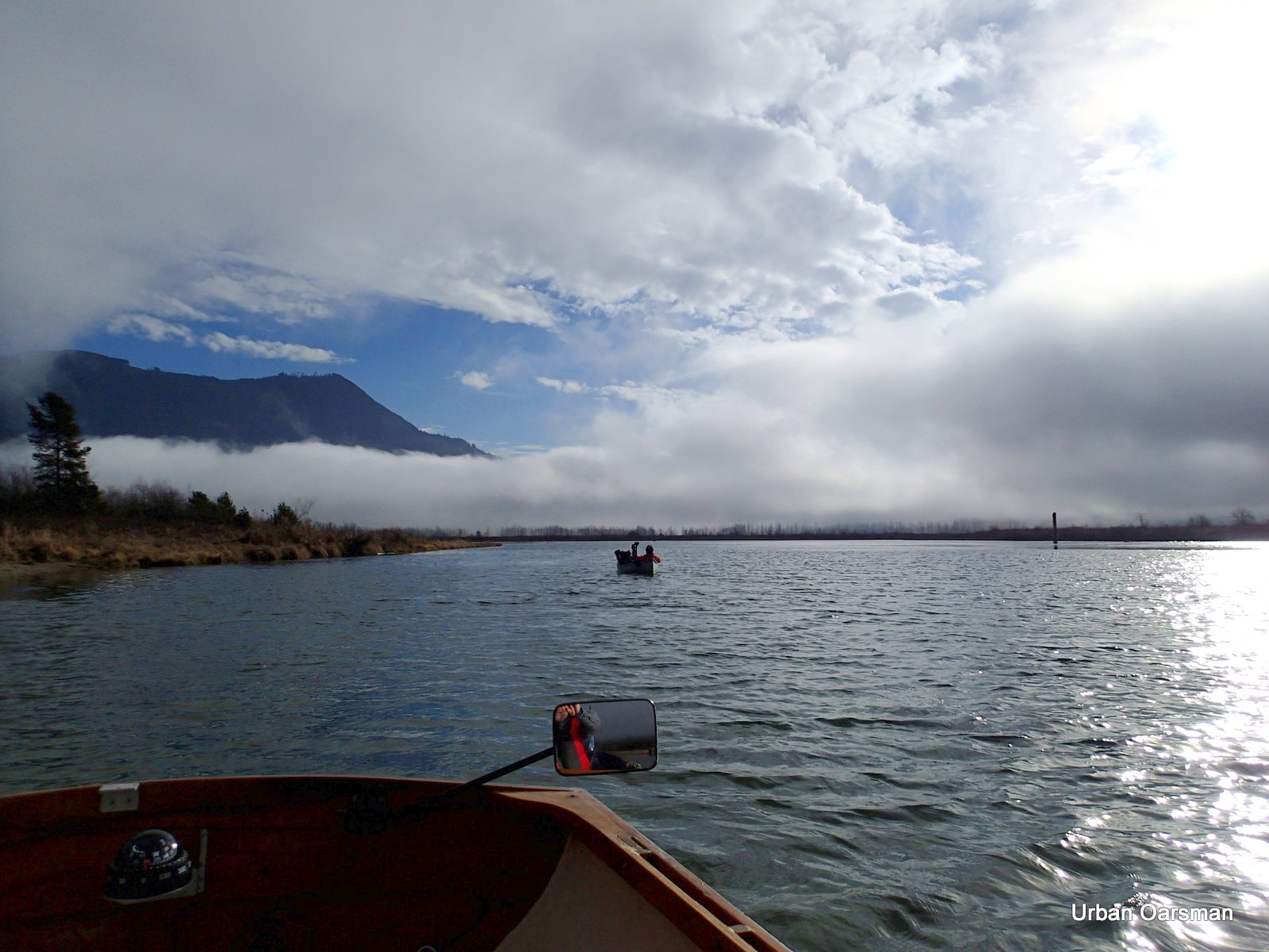
A camping canoeist returns to Grant Narrows after a pleasurable but cold camp-out.
His canoe is powered by an electric trolling motor.
The clouds are moving in from the South. It is getting noticeably colder.
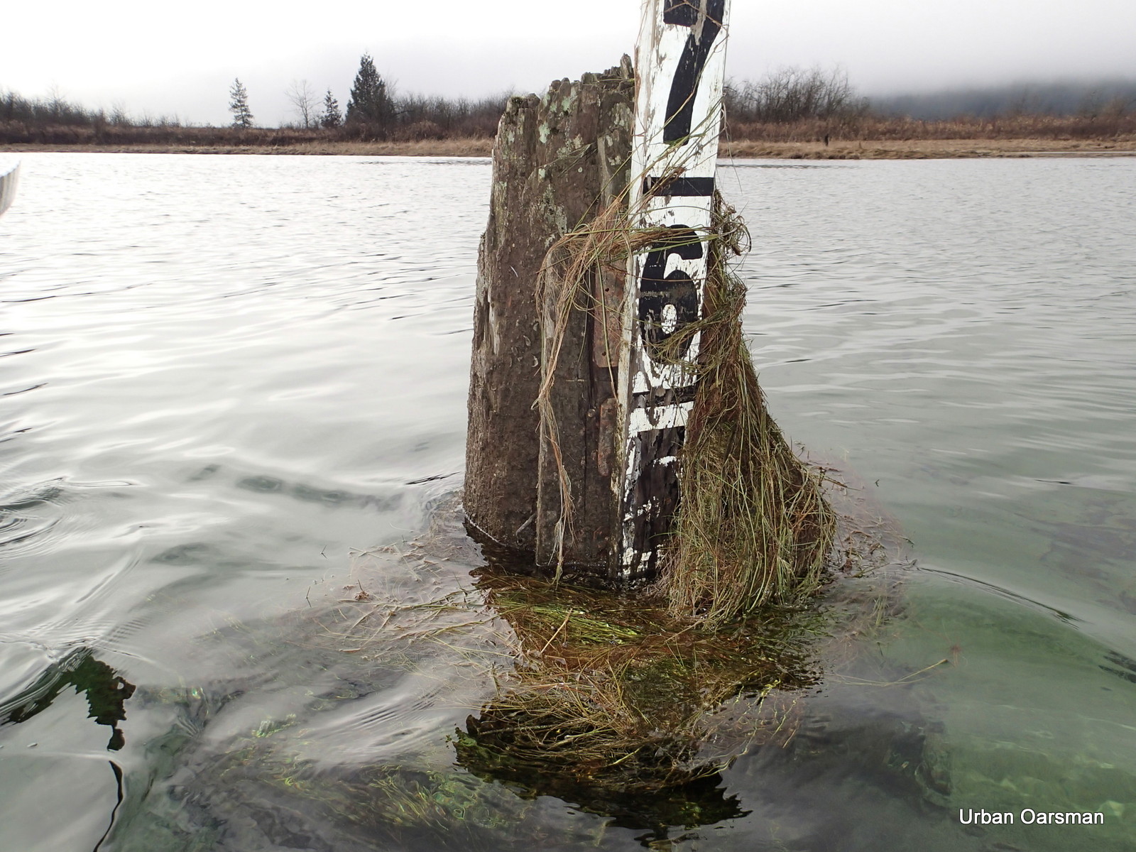
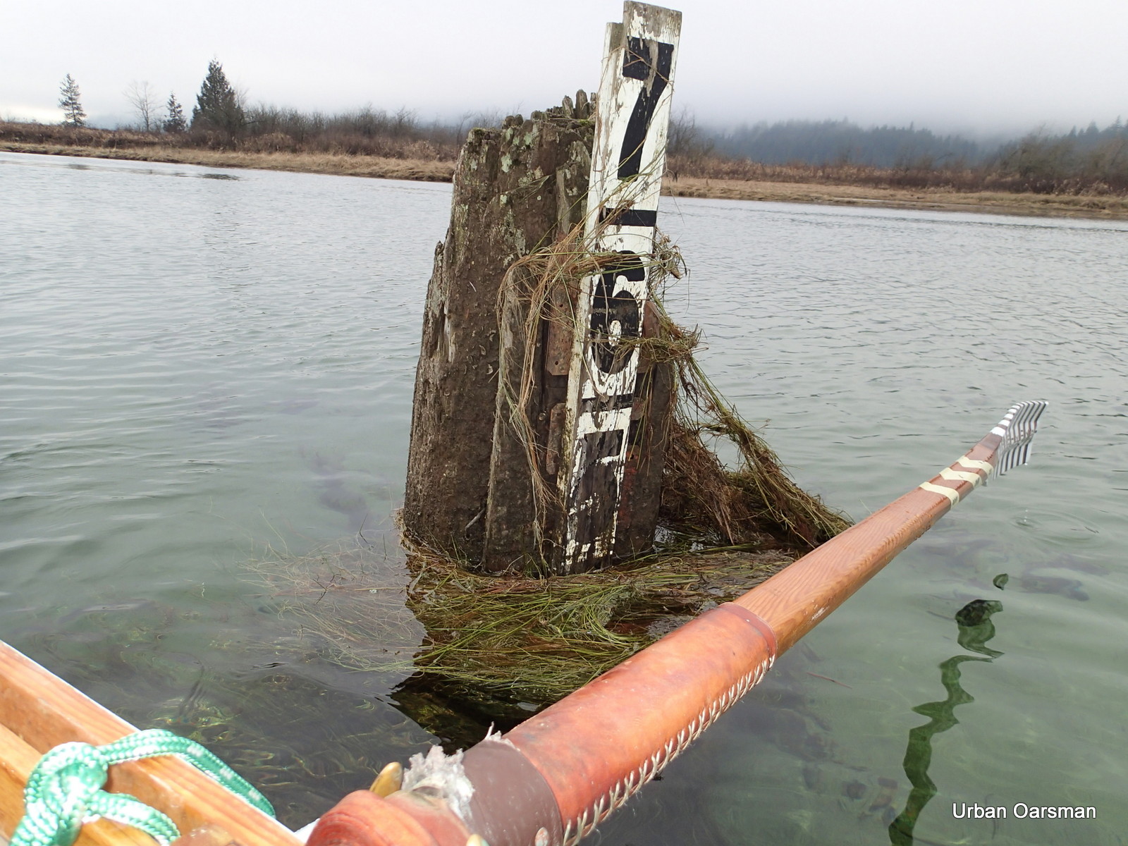
The Widgeon Creek Depth Gauge. It is showing 5 feet? The tide is still coming in.
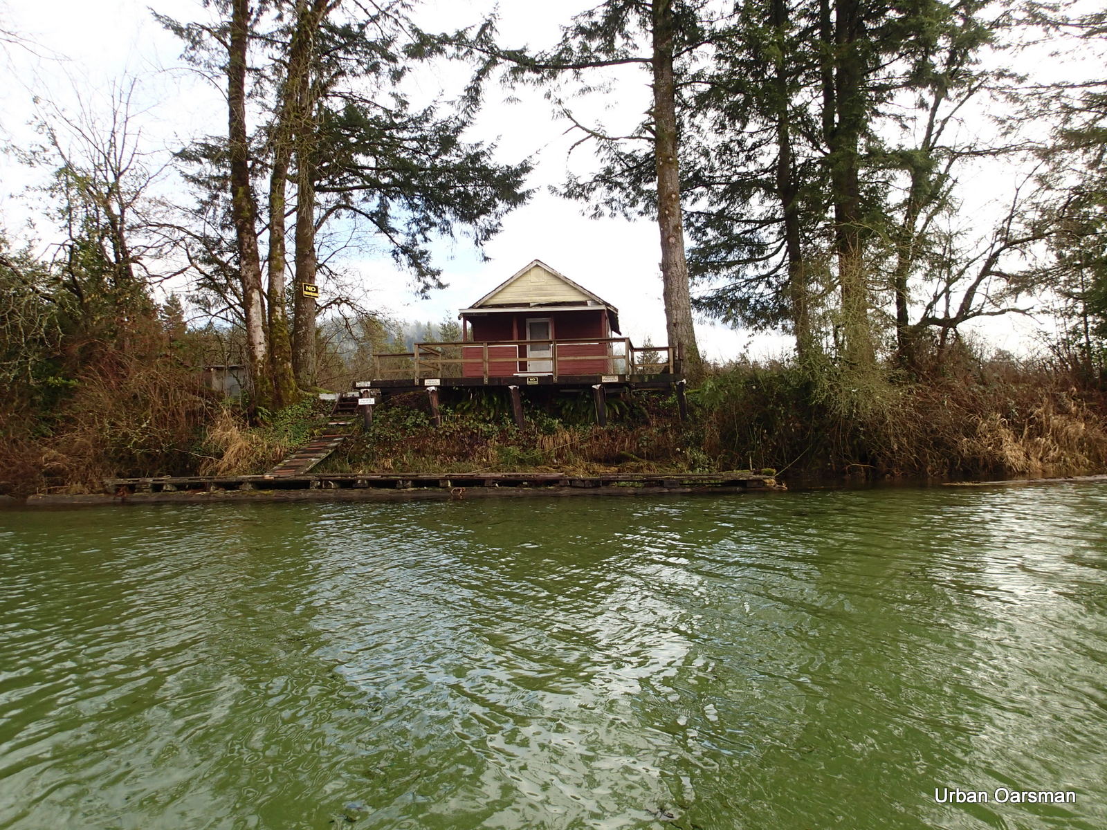
The no-trespassing cabin.
The tide is high enough to enter the East side channel. The current is flowing in.
Rowing up the side channel. I row in backwards for maximum visibility.
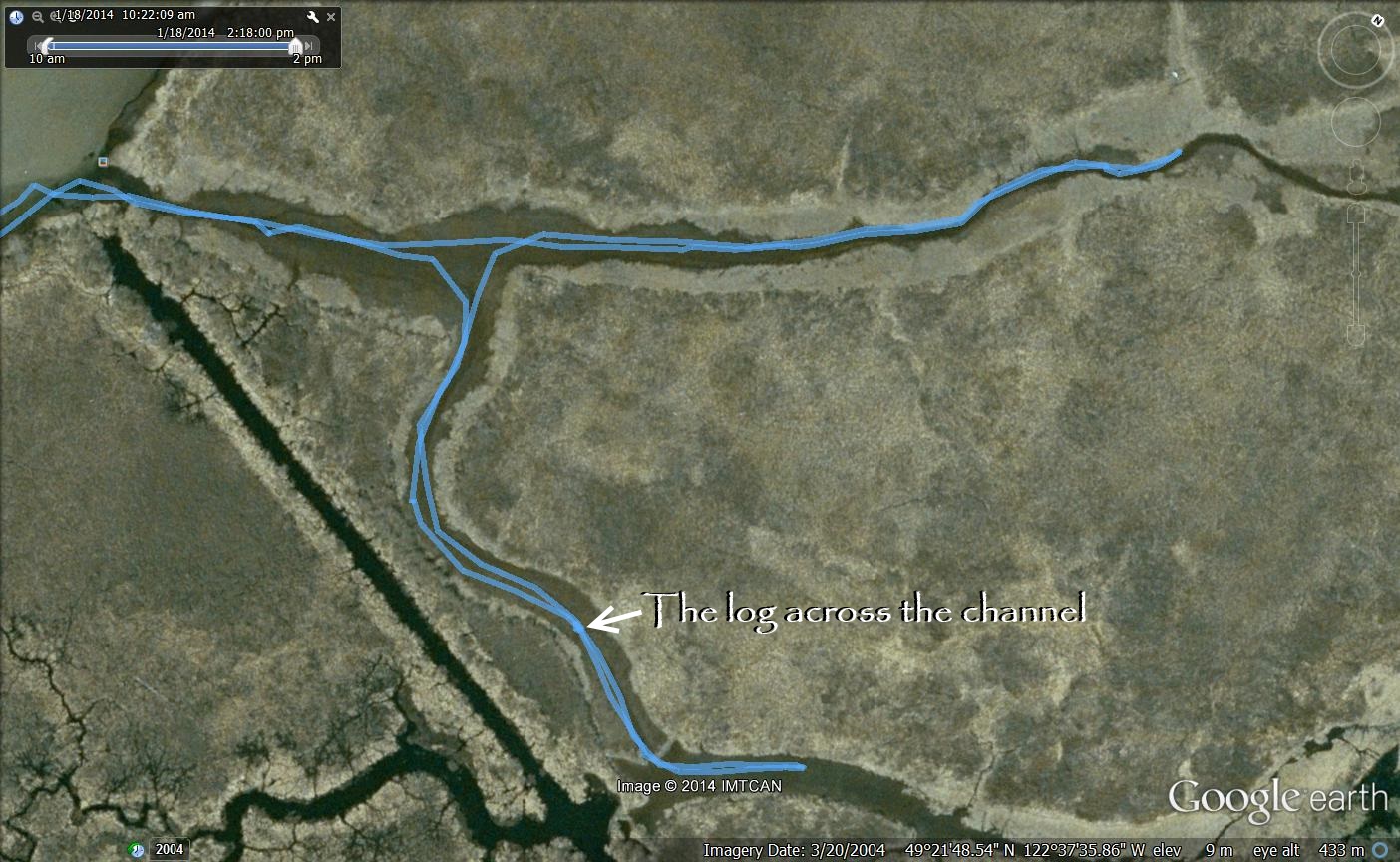
I will take the side fork that goes to the South-East.
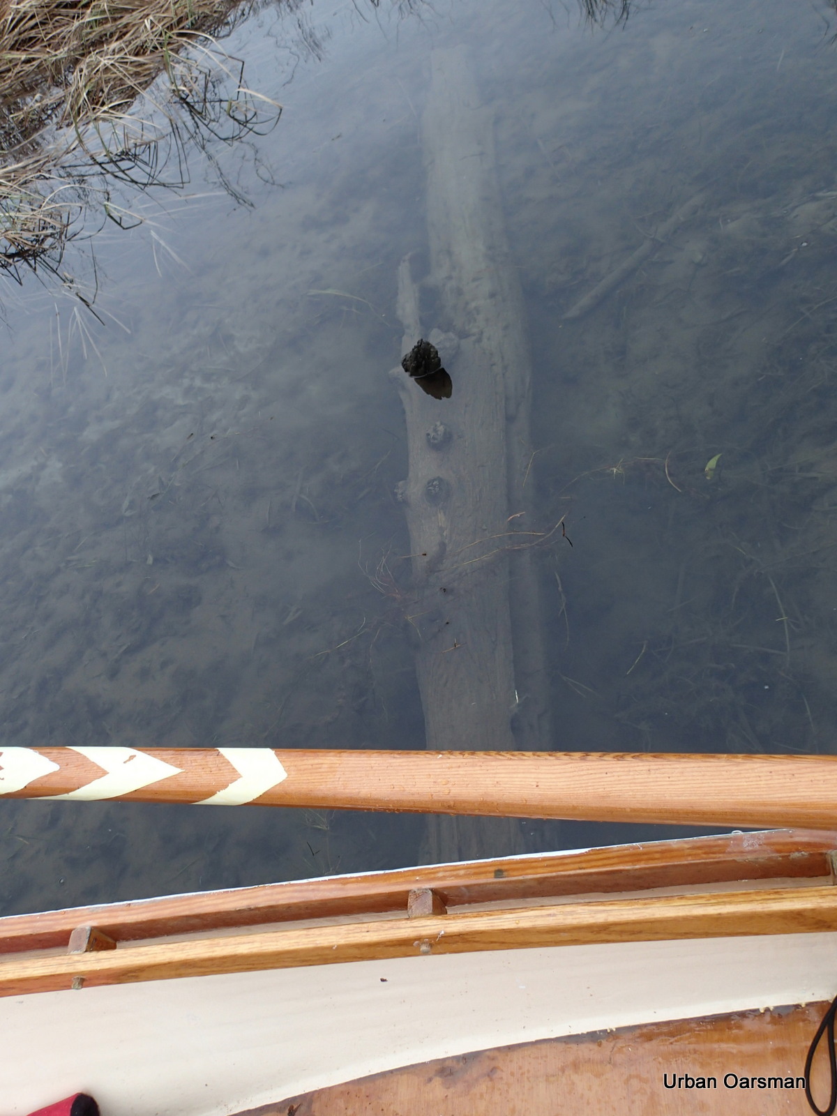
I row over the log across the channel. I have to use my oar to push it down so I can cross it.

Back to the main channel. It leads to the North-East.
Continuing up the channel. I run aground and turn back. I need higher water to reach the source.
The clouds are getting lower and lower. It is now quite chilly and I put on my wind breaker and scarf.
Passing by the Widgeon Creek Depth Marker on the way back to Grant Narrows.
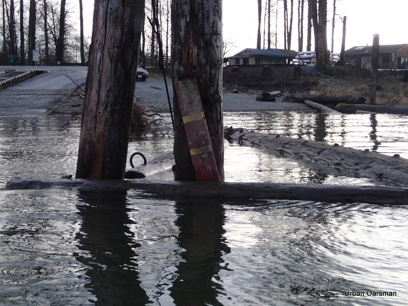
Thirty minutes later I am at the Grant Narrows Depth Gauge. 5 feet?
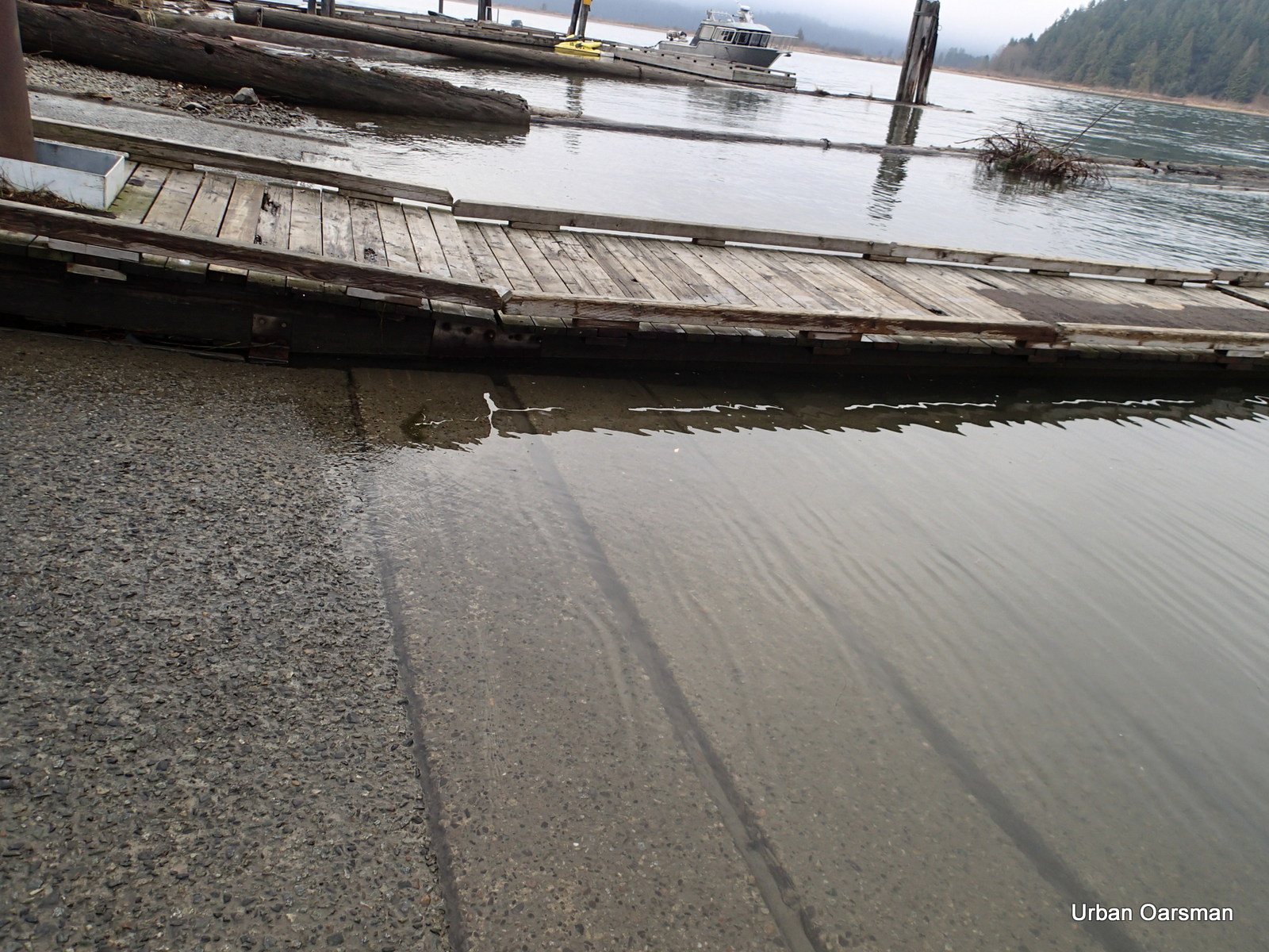
The water level is up to the top mark on the ramp.
The tide does look to be very high.
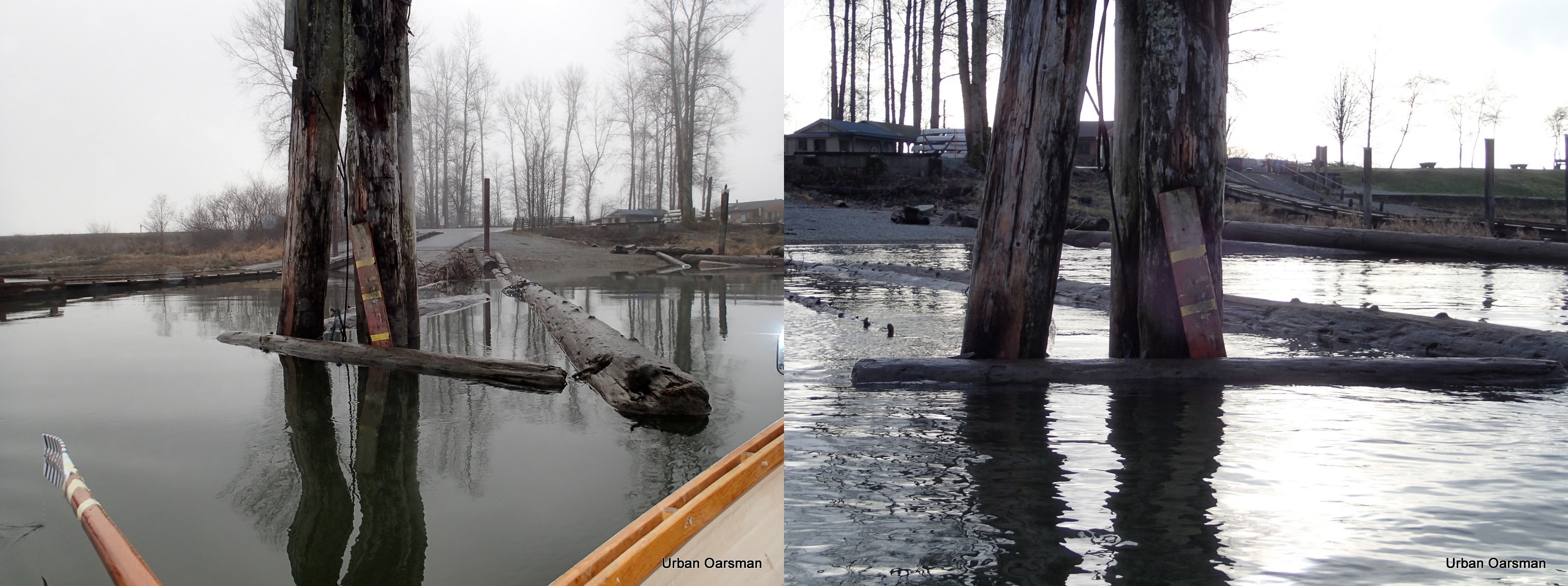
Side by side pictures of the Grant Narrow Water Level Gauges. The tide did come in during my row.
Rowing around Siwash Island took about 2.5 hours.
A wonderful way to spend the day.