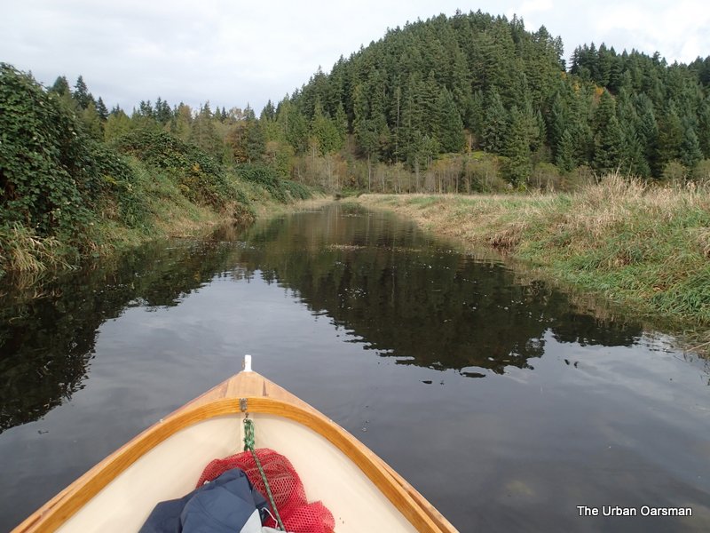
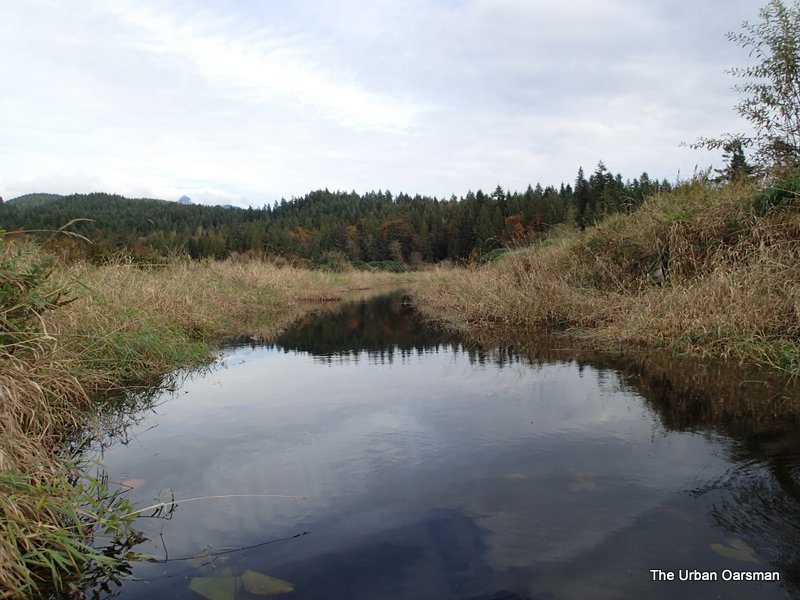
The October 27, 2014 Row. Up The Alouette, the North Alouette, Blaney Creek and beyond Codd Island.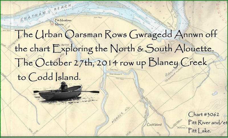
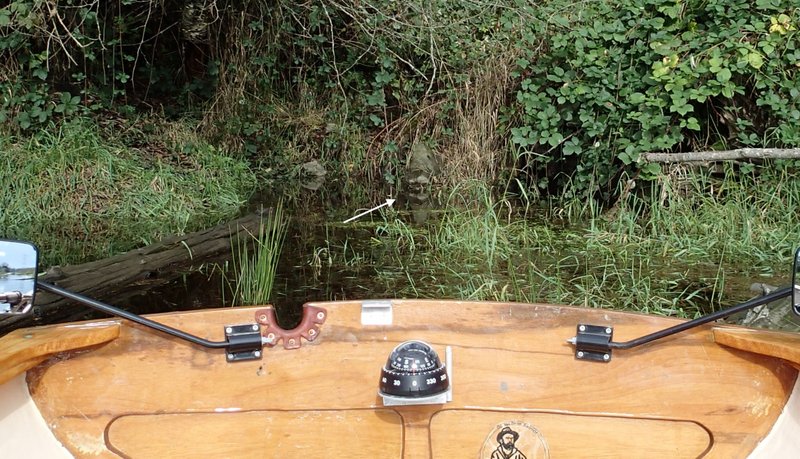
I have read WoodenBoat issue #240. There are two articles on rowing, “The Thames Waterman’s Stroke” and “The Geometry of Rowing“. Both articles stress the importance of foot braces. To quote from “The Thames Waterman’s Stroke“: To row powerfully, you have to brace your feet against something solid. A low cleat on the floorboards won’t do the trick. A footboard or a stretcher across the balls of your feet allows you to engage your calf muscles and the power of the rest of your body. “The Geometry of Rowing” article echoes the sentiment: “Footbraces are absolutely essential in good rowing craft for transferring power. If you don’t have them, you’re actually transferring your forward thrust to the boat through the friction of your posterior on the thwart-which is as uncormfortable and as inefficient as it sounds…“. Gwragedd Annwn does not have footbraces, so, I install one to see if it improves anything.
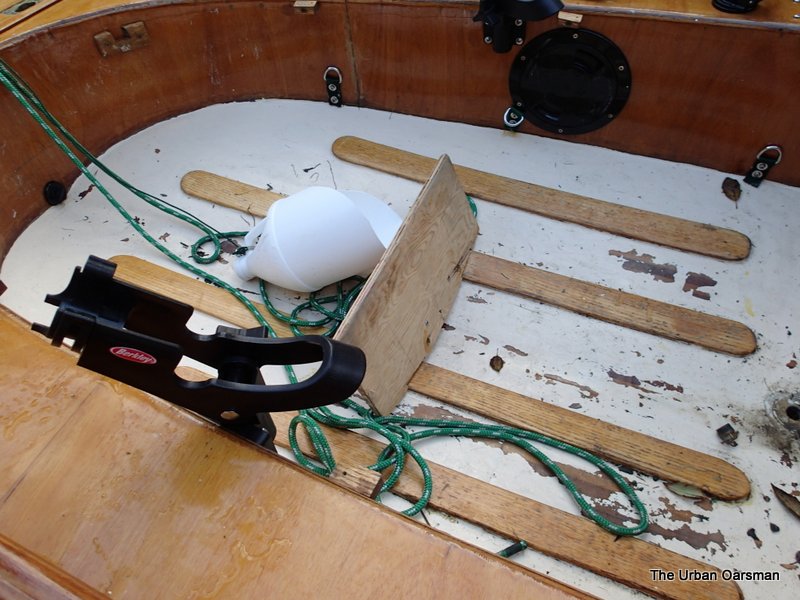
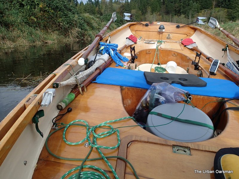
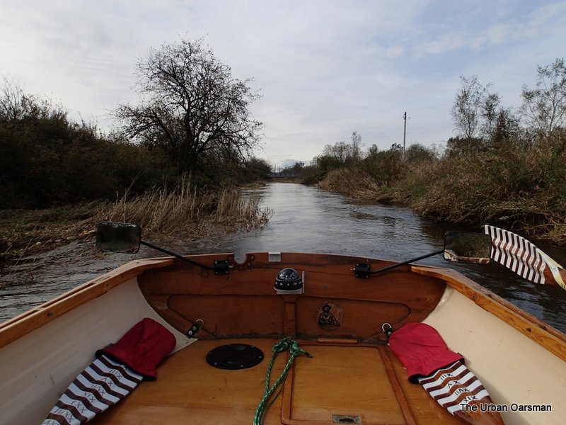
Gwragedd Annwn’s “test-of-concept” footbrace.
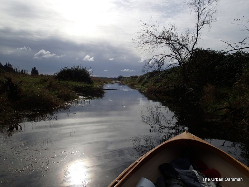
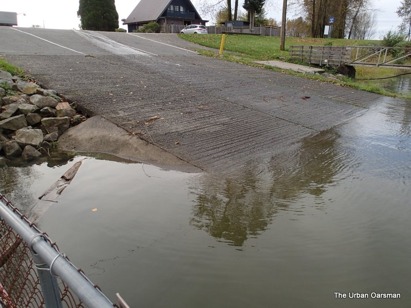 The waterlevel at the launching ramp is quite high, the highest I have rowed in.
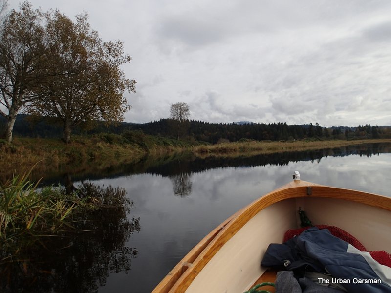
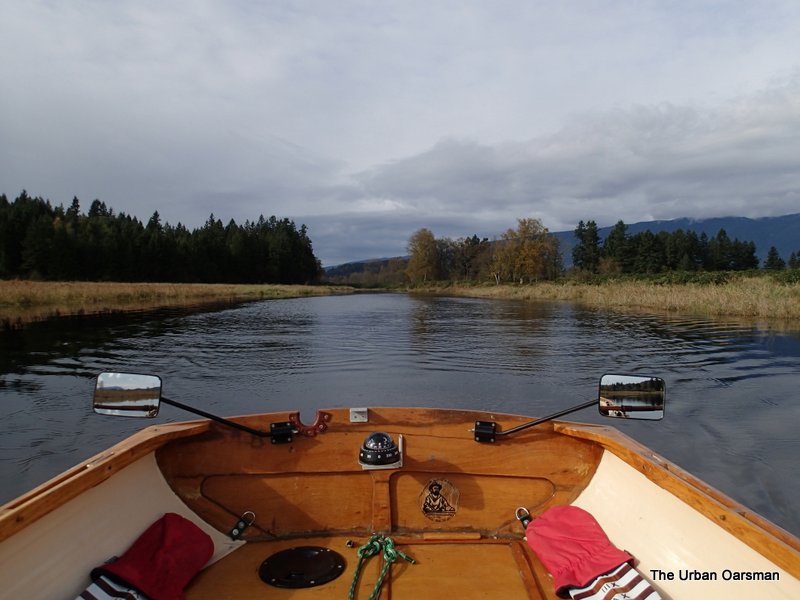
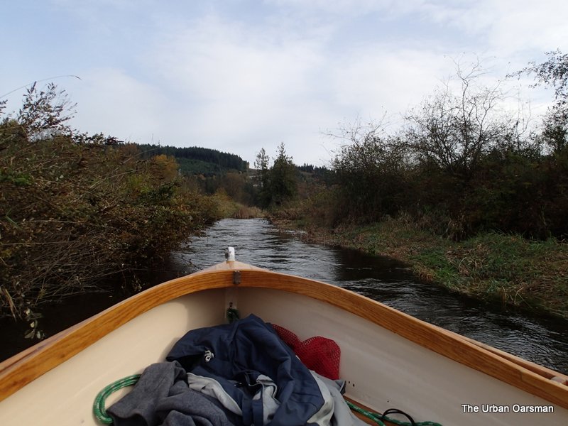
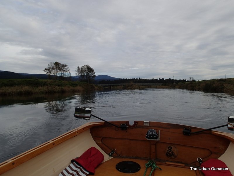
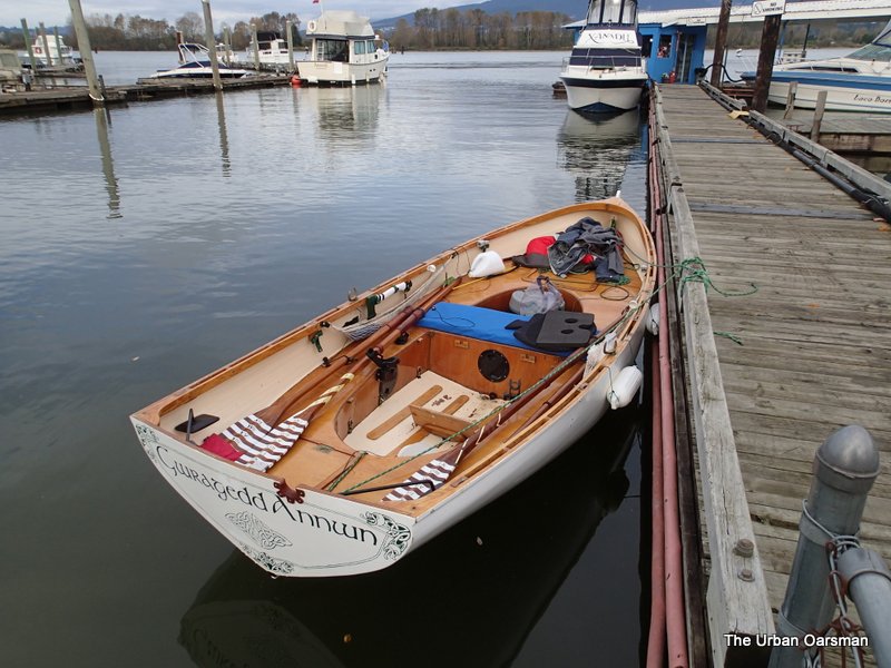 Gwragedd Annwn at the dock, ready to row. The black rowing cushion with the holes in it is another suggestion from “The Thames Waterman’s Stroke” article: “Firm foam padding will help. You may want to simulate a racing-shell seat by cutting the foam to make two holes for your sit bones and a notch for your tailbone.”
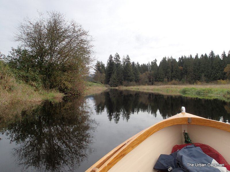
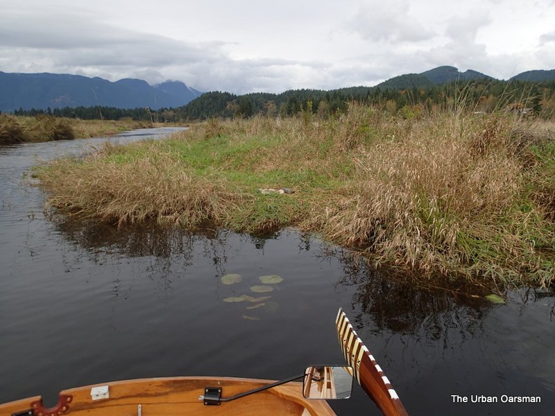
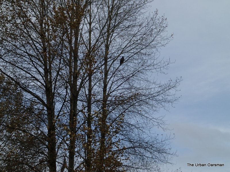 An eagle watches me Row up river.
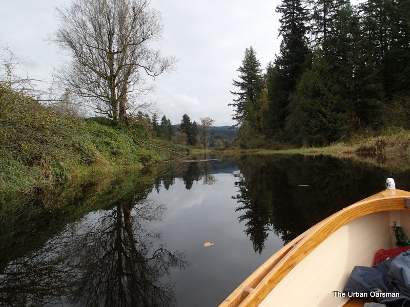
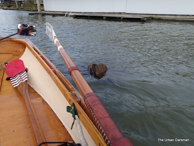 I missed this snag, it was high enough out of the water for me to see with my mirrors. The current is actually going up river. The tide is still rising.
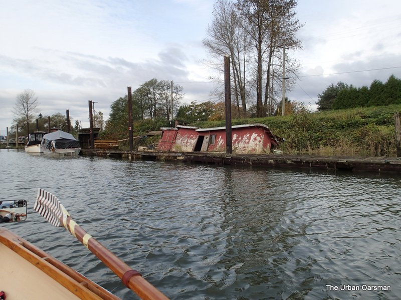 Old Red seems to be listing a little more with the higher water.
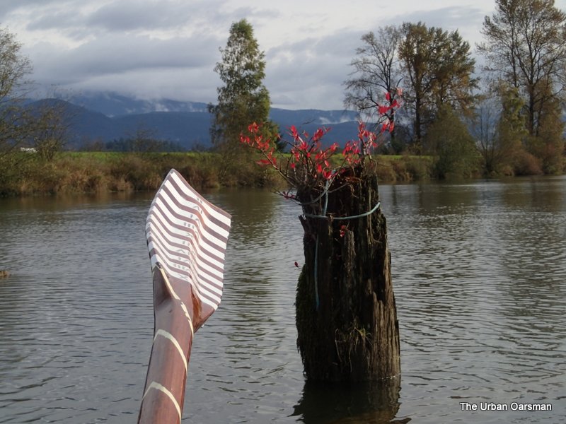 A bit of fall colour on the piling.
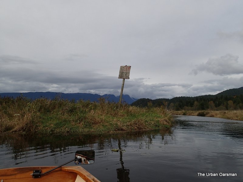
 The water level is very high. This is the first time that I have seen the “No Power-Driven Vessels” sign awash.
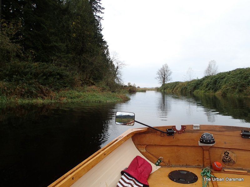
 There is at least two, maybe three feet more water than on the “Past the Neaves Road Bridge” Row.
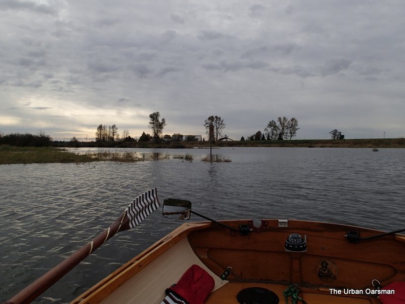
 I am going to row closer to the Gauge for a better look.
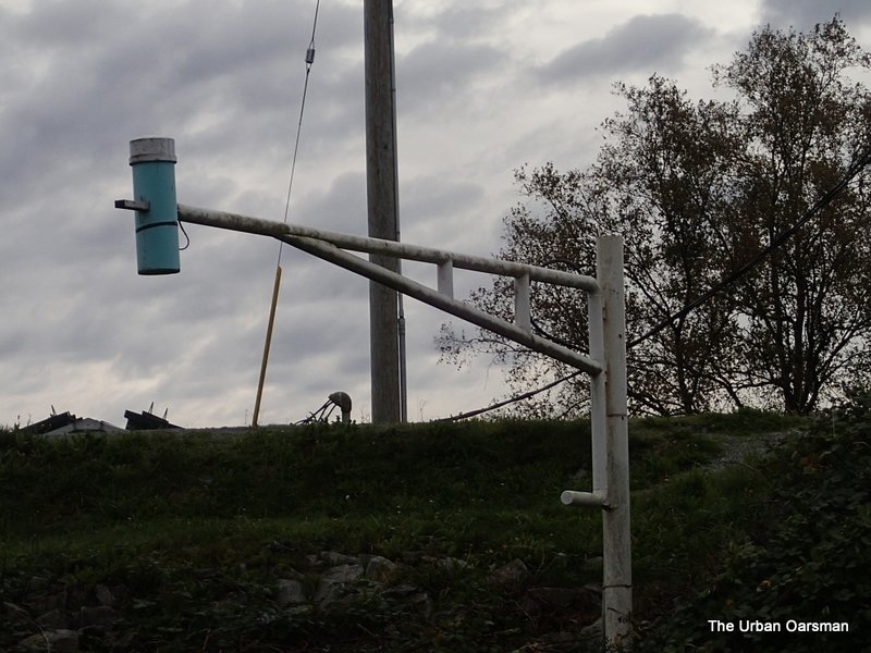 I believe this to be the Alouette River Gauge. The roof of the pump house is barely visible just behind the dike.
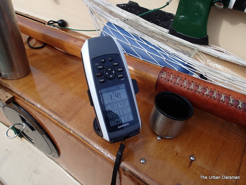
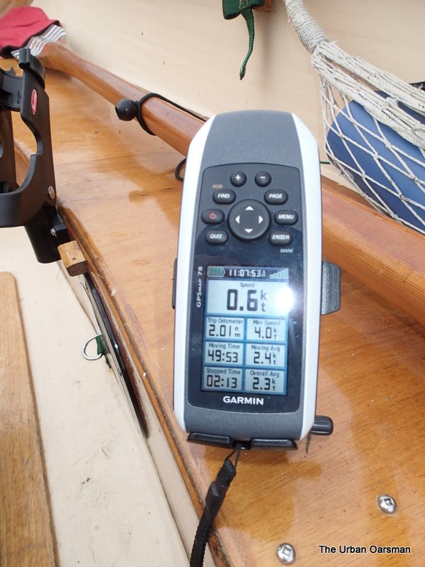 My GPS shows the upstream current at the confluence. It has taken me almost 50 minutes of rowing to get here.
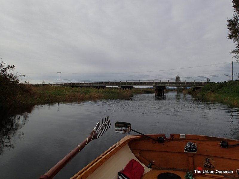
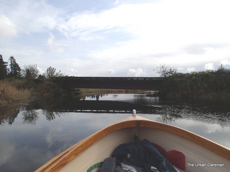
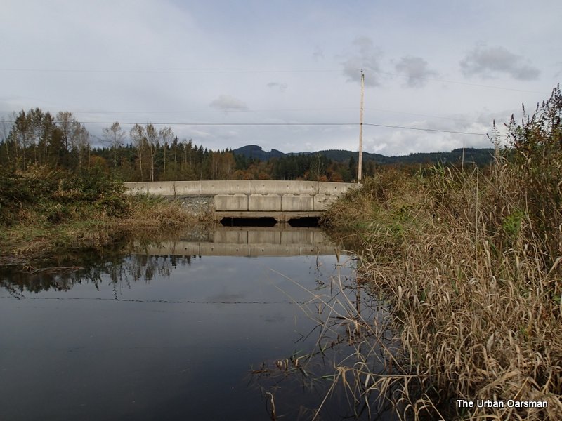
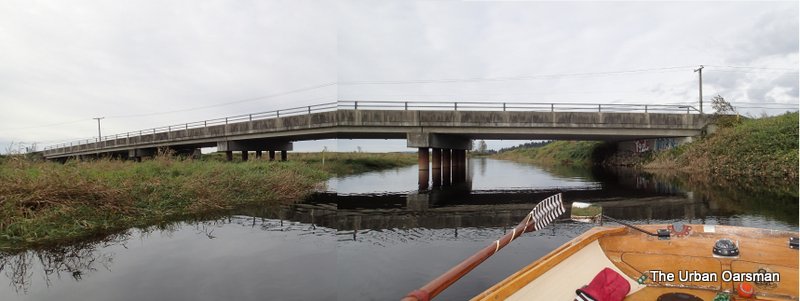 A cobbled together picture of the Neaves Road Bridge over the North Alouette River and Blaney Creek.
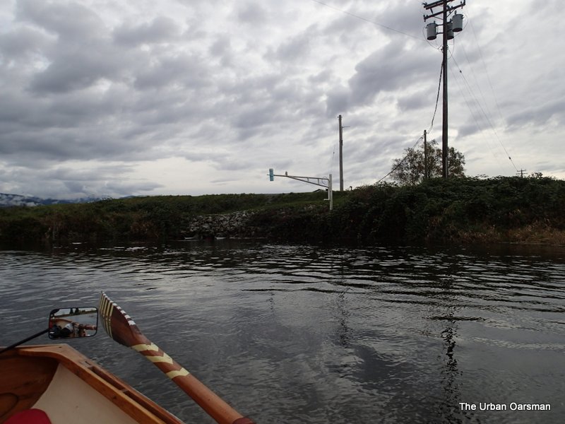
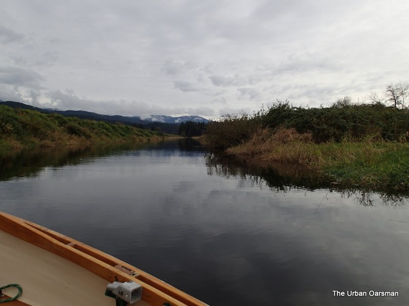 Blaney Creek runs West, straight along the dike.
 Leaving the Neaves Road Bridge over Balney Creek Behind.
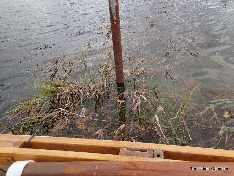
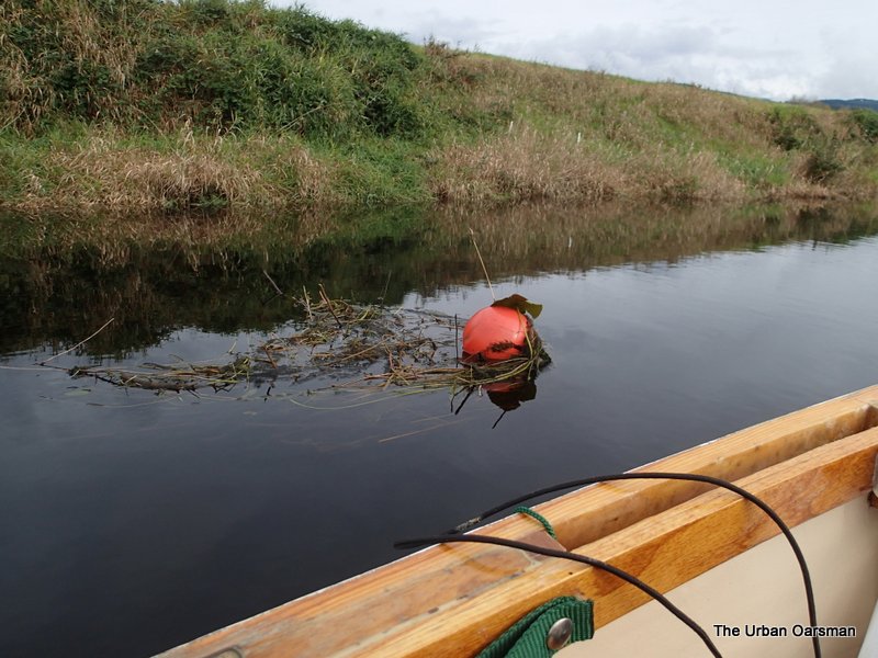 I do not know what this float is for…Perhaps a gauge of some sort? The weeds around it show a slight downstream current.
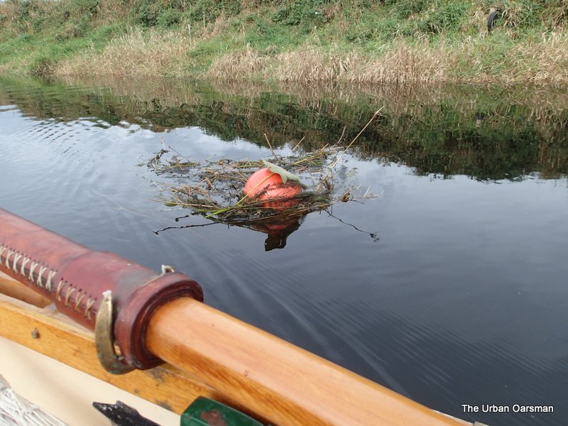 Does the weed on top of the float mean that it is anchored to the bottom? If you look to the right, you can see a cable coiled on a post. What is this float for?
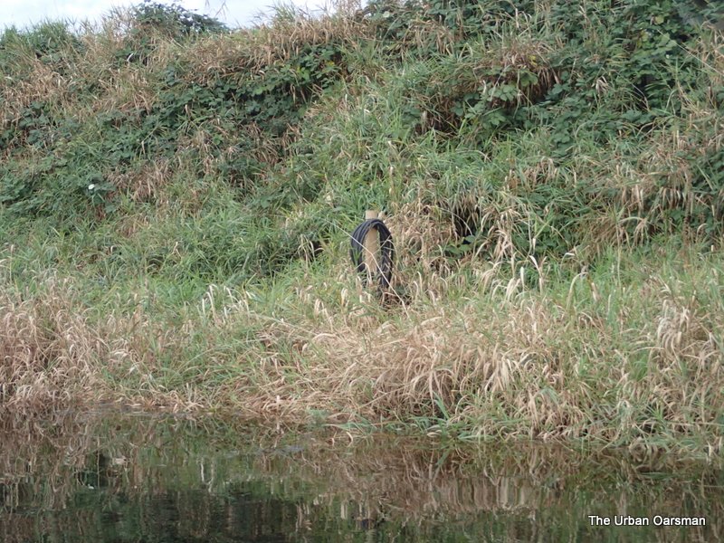 The coiled cable on the shore next to the float.
 Blaney Creek, Codd Island is the treed area to Starboard.
 Going past Codd Island.
 The water is murky enough here that I cannot see the bottom. My “Depth-Sounder” oars report that there is more than 24″ of water under the keel.
 A canoe on the shore. The topo map shows two houses on the other side of the dike.
 Looking down Blaney Creek. Codd Island is the dark treed area on the left.
 The McKenzie Creek channel is to Port. Blaney Creek continues to Starboard.
 McKenzie Creek flows down from Cranberry Lake and enters midway along the channel. This agrees with chart #3062, Pitt River and/et Pitt Lake.
 My topo map shows McKenzie Creek should enter at the far end of this channel. It does not. The chart (#3062) was correct.
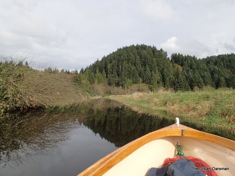
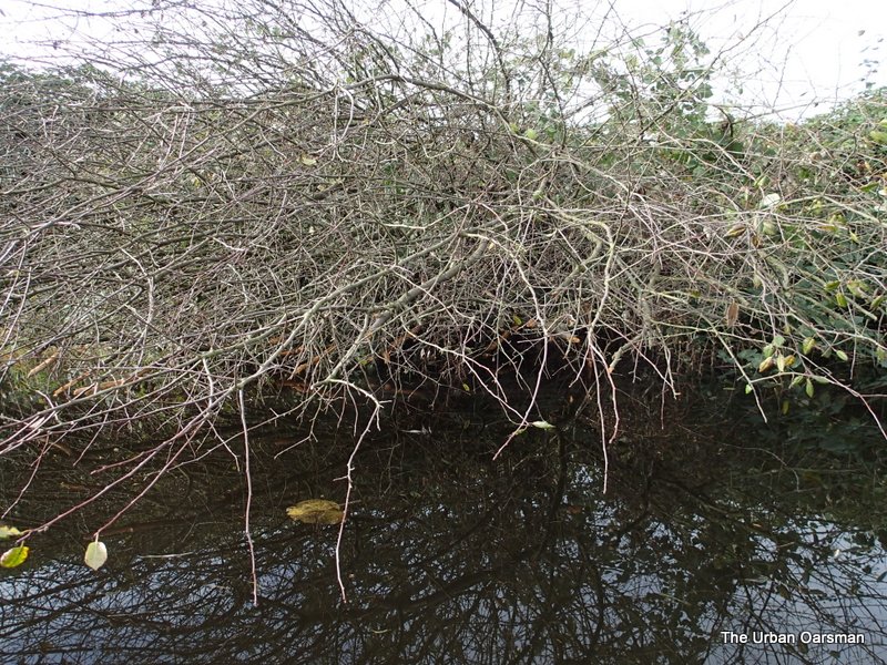 In some places the trees over grow the channel. Many of the branches have been chewed off by Beavers.
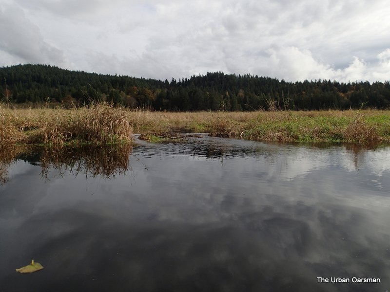
 You can see the grass poking out of the water. It looks like it could be a grass Beaver Dam.
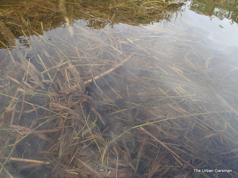 The grass is just below the surface. Good thing that the water level is high or I would not be able to go over it.
 Leaving the dam behind.
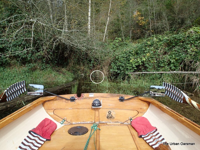 A smiling face greets me at the end of the channel.
 Close-up of the smiling face. Better head back. If the water level drops, I will be stuck behind the grass dam.
 The return view.
 Going over the grass dam.
 Going forward to rock Gwragedd Annwn over the dam.
 The technique is to row like crazy, then at the last moment, go to the stern so you run Gwragedd Annwn as far up the dam as possible. Just before she stops, you go to the bow and slide her down the other side.
 Across the barrier.
 Looking up McKenzie Creek.
 Codd Island in the distance.
 Back in Blaney Creek, rowing upstream. I as starting to be able to see the bottom of the Creek. The water is clearing up.
 An old bridge crosses Blaney Creek. The road goes from Border Town to a house on Codd Island.
 The bridge rests on two big steel I-beams. Seems as if the West side has settled more that the East side. Not a lot of clearance under the bridge for Gwragedd Annwn.
 The bridge looks more picturesque on the upstream side. I can see the bottom of the Creek quite easily now.
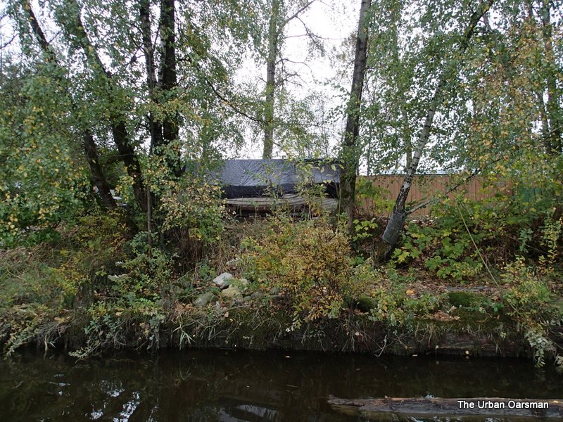
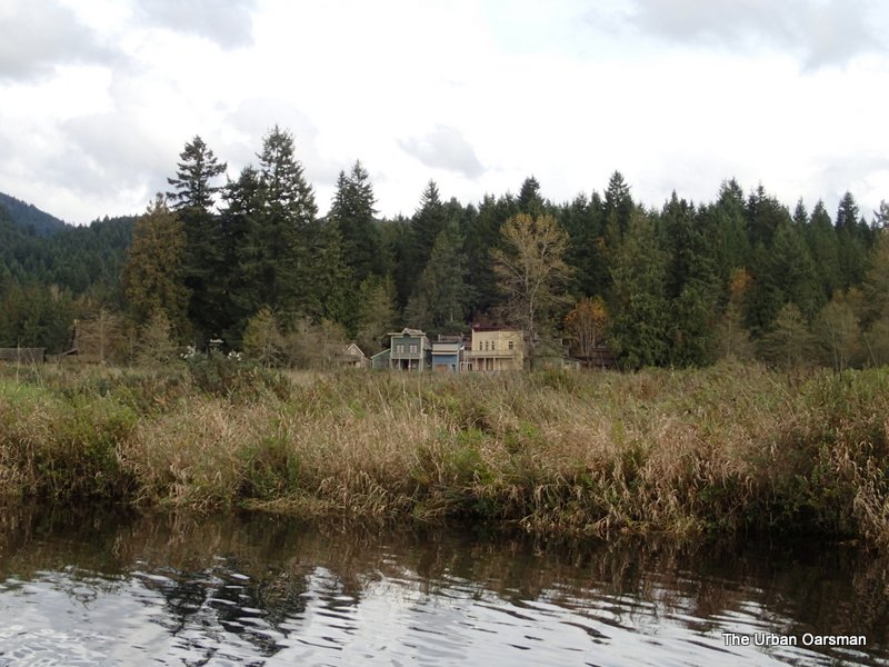 Border Town. It is a movie set with it’s own website: http://www.virtuestudioranch.com/location/bordertown
Here is a link to a map showing it and the Codd Wetland Aguilini Reserve(zoom out to see them).: http://wikimapia.org/8985829/Bordertown-set
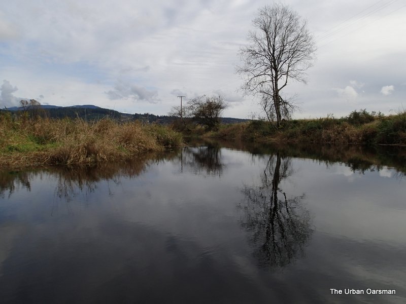 Blaney Creek, looking upstream to the East.
 A side channel off of Blaney Creek that goes to the West, connecting to The North Alouette River.
 A weathered “Trespassers will be Prosecuted” sign.
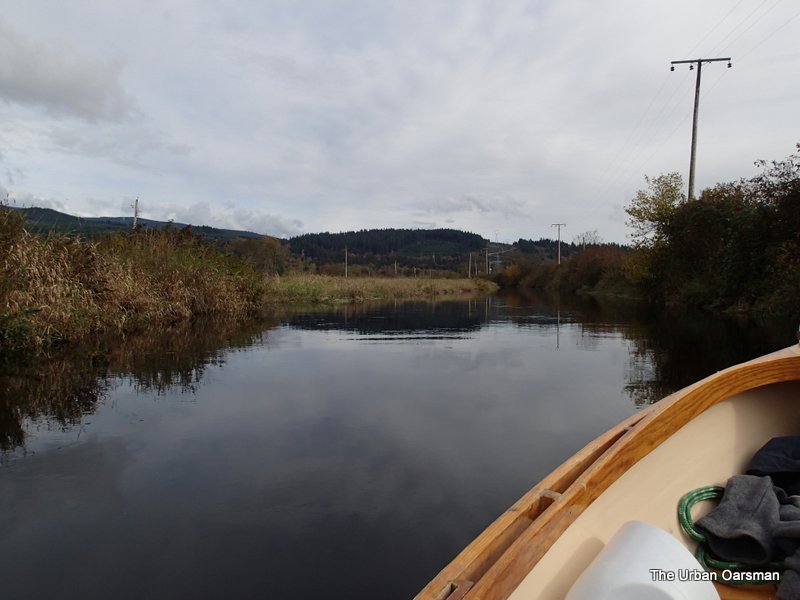
 Looking downstream.
 The western side channel to The North Alouette. There is a slight current flowing down the channel.
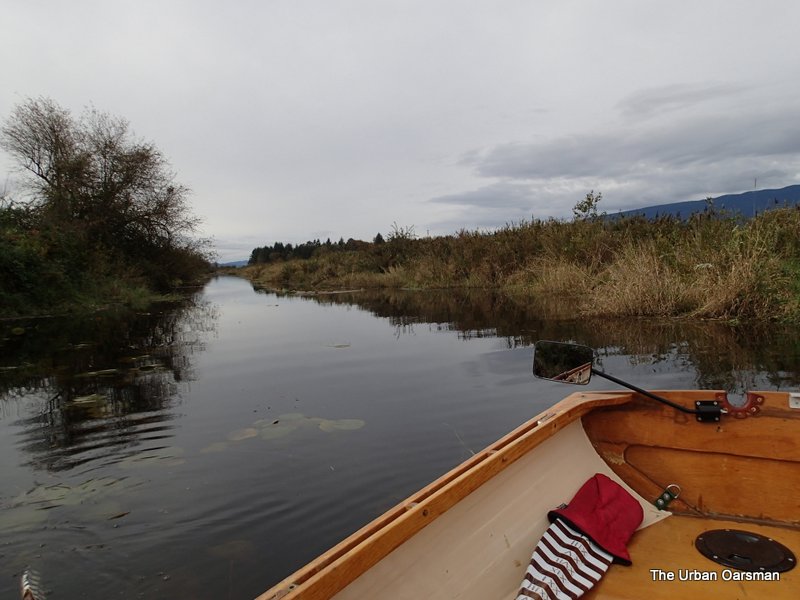
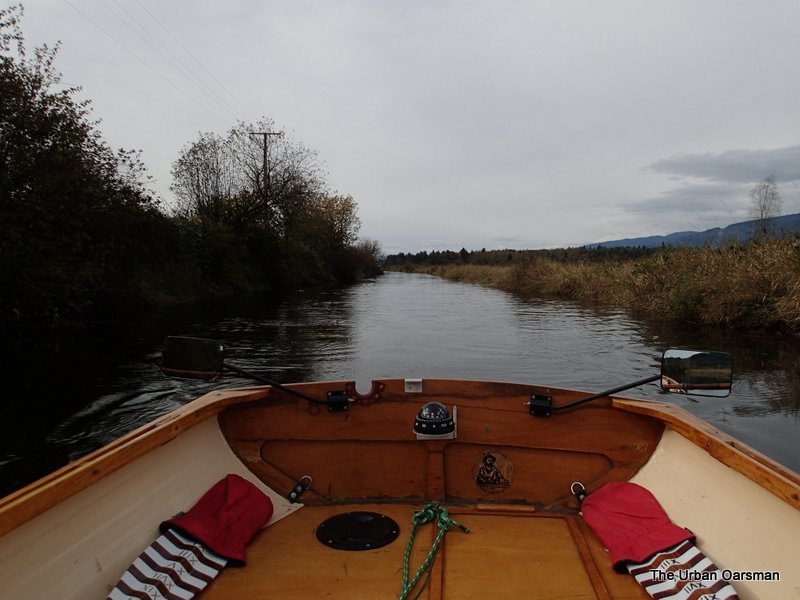
 I head up Blaney Creek.
 The creek parallels 144th Avenue.
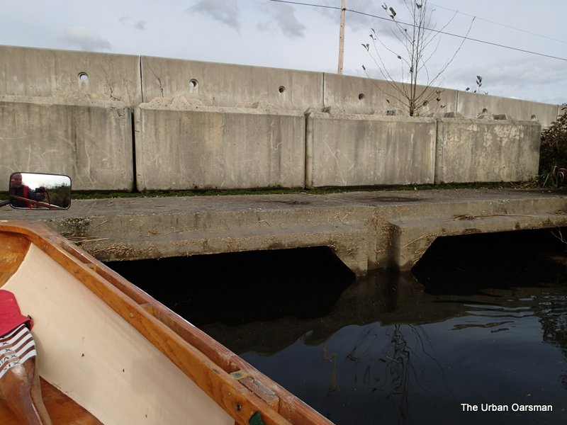
 A culvert under 144th Avenue.
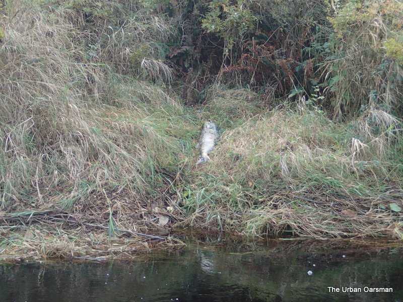
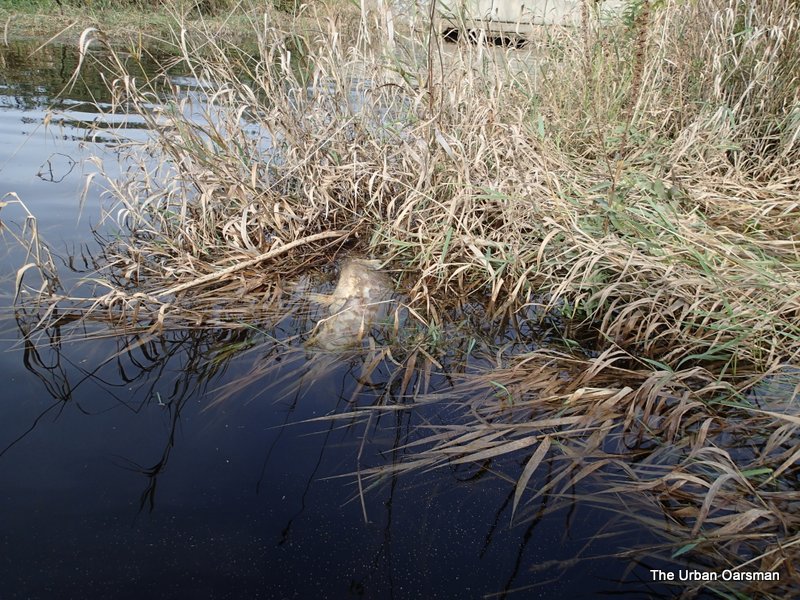 Another spawned out salmon floating in the Creek.
 The high waterline mark is over a foot higher on the Culvert.
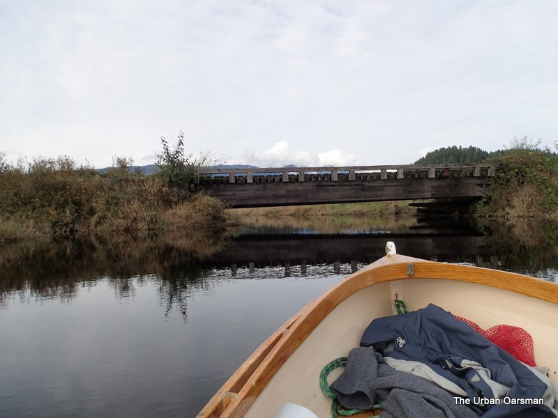
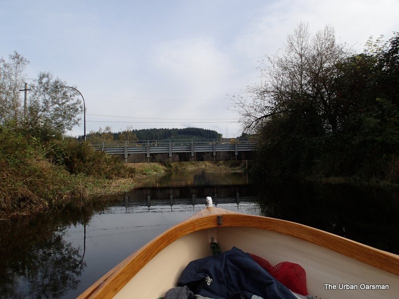 The 224th Street Bridge.
 Blaney Creek is getting too narrow and swift.
 Looking back at the 224 Street Bridge. This is about as far as I am going to get.
 The current in Blaney Creek is between 1 to 2 knots. It took me about 3 hours of rowing to get here. The current is getting too strong and the Creek too narrow for me to row on. Turn around point.
 I wonder what pulled this salmon up onto the bank.
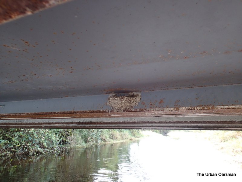 Swallow nest under the Bridge. It would be neat to come here when the Swallows are still nesting, but I would not want to disturb them.
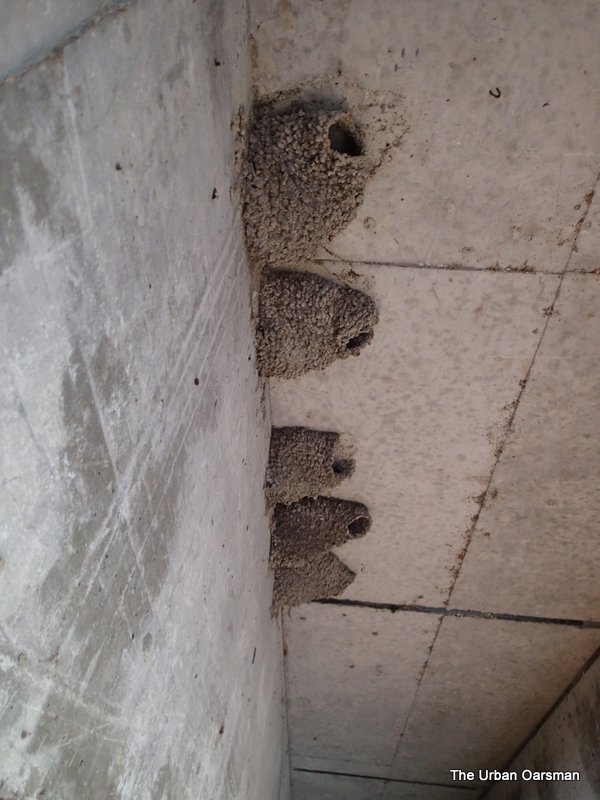 Swallow nests under the 224 Street Bridge.
 Making the turn to go down Blaney Creek.
 Upstream side of the bridge to Codd Island. You can see that it has settled more on the West side than the East side.
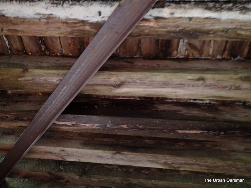 Underside of the bridge.
 This side channel heads East towards Border Town. I will explore it another day.
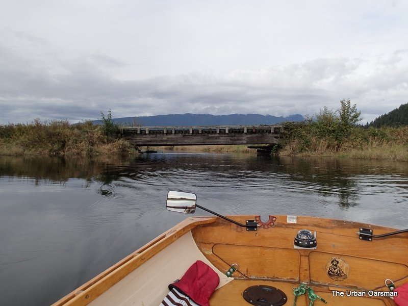
 Down river from the Neaves Road Bridge.
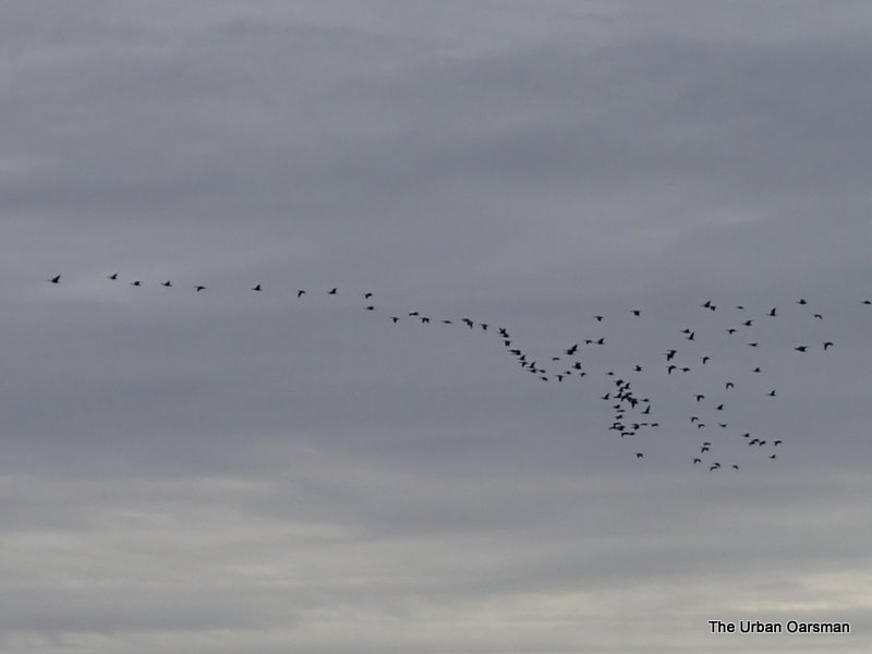 Geese flying to the Pitt-Addington Wetlands?
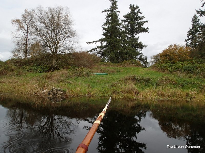
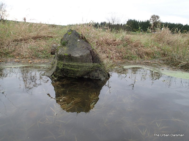 This stump shows the water level drop.
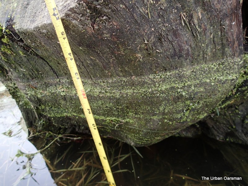 The water level has dropped about a foot during the Row.
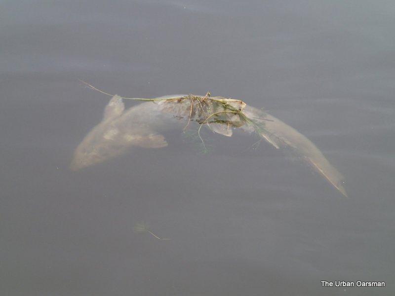 Spawned out salmon floating down river to the sea.
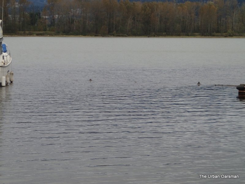
 A clinker lifeboat very similar to “Snowdrop” on the hard by the Pitt Meadows Paddling Club.
A partly-submerged log lies across the entrance to the ramp. I used the run up and slide over technique to get across it.
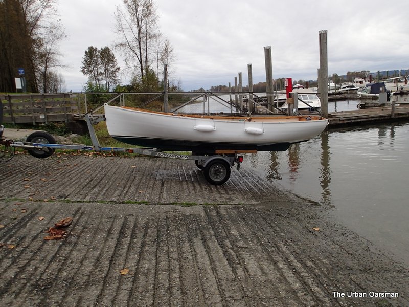 Gwragedd Annwn on her trailer. The water is still quite high. I believe that the footbrace worked well. I could row faster with less effort. 5 hours and 36 minutes of rowing to cover 21.6 kilometers at an average speed of approximately 3.8 km/hr.
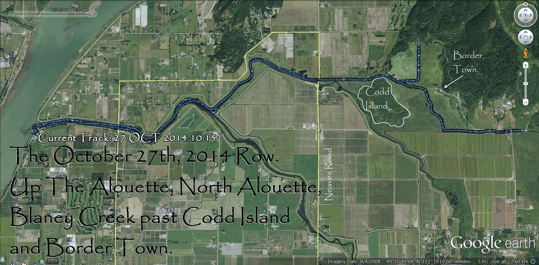
GPS track of the October 27th, 2014 Row.
The Alouette River and her tributaries are worth exploring. There is a lot to see.
River Level chart for the Row:
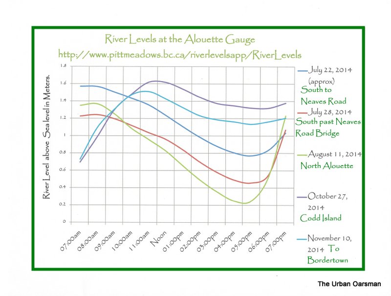
Alouette River Levels at the gauge.
Happy Rowing,
Mike