The Urban Oarsman returns to Widgeon Creek again…The Highest water yet. June 5th, 2015.
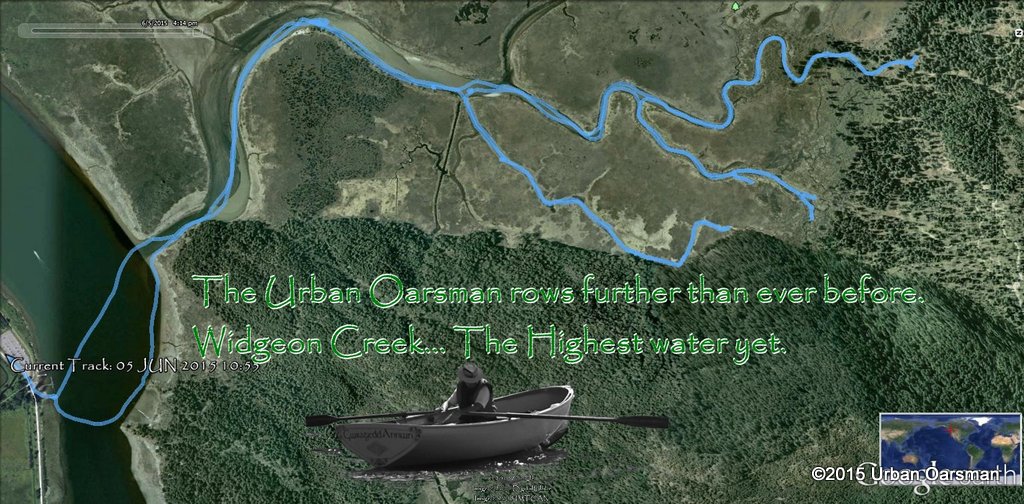 Yesterday I tried to row in Pitt Marsh. The water level was too low. I then went to Grant Narrows to check the water level in the Pitt River. It was very high. Today I will see how far up I can row in Widgeon Creek.
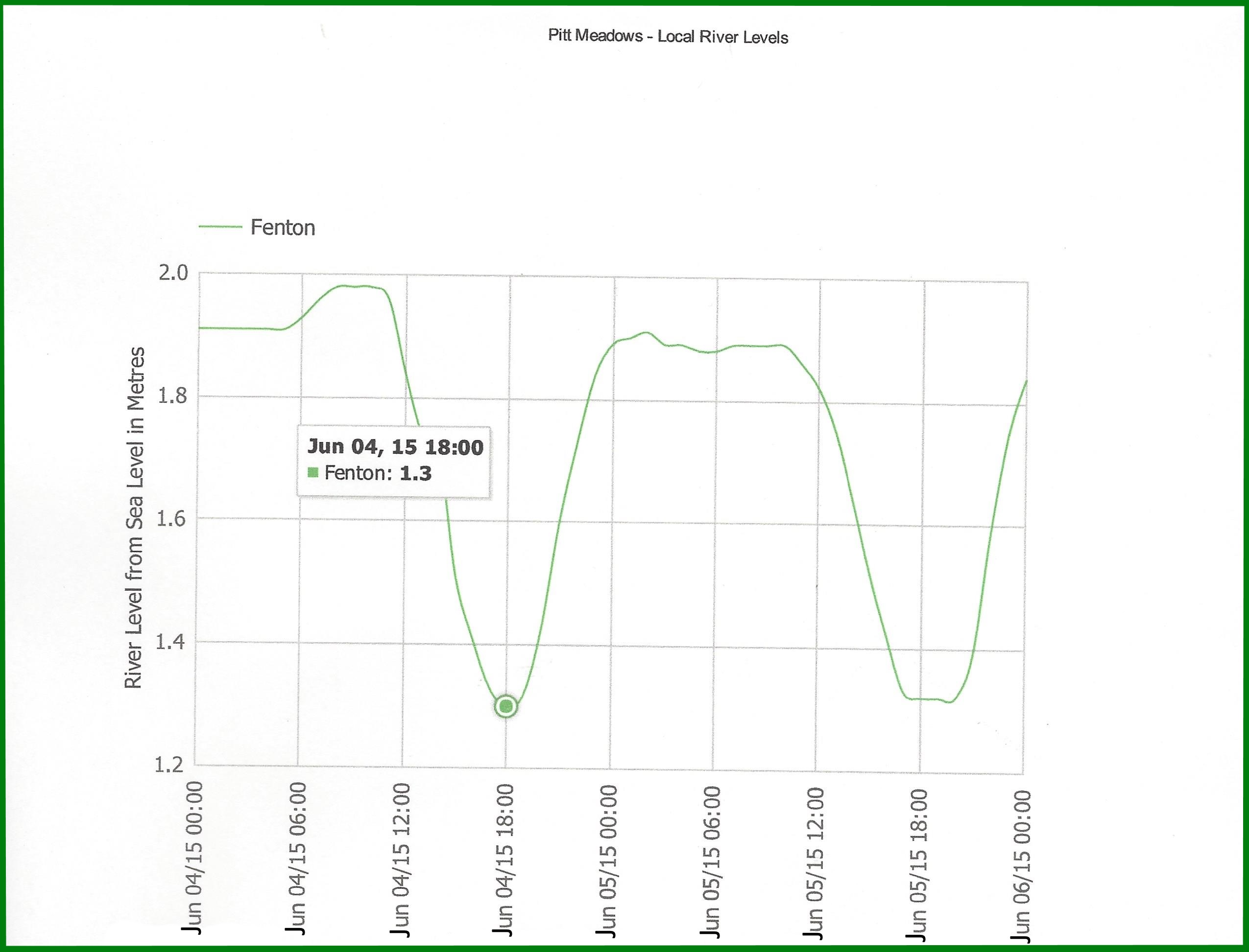 Water level chart for The Fenton gauge on the Pitt. The gauge is located on the river near Sheridan Hill, South of Addington Point.
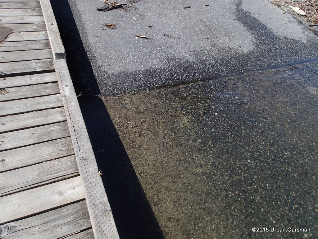 The water is very high on the ramp. The tide will drop about 60cm to a low at 6:00pm. Lots of deep water time for rowing.
 At this point, there is not much current, but, there is a slight ebb.
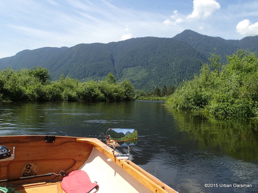
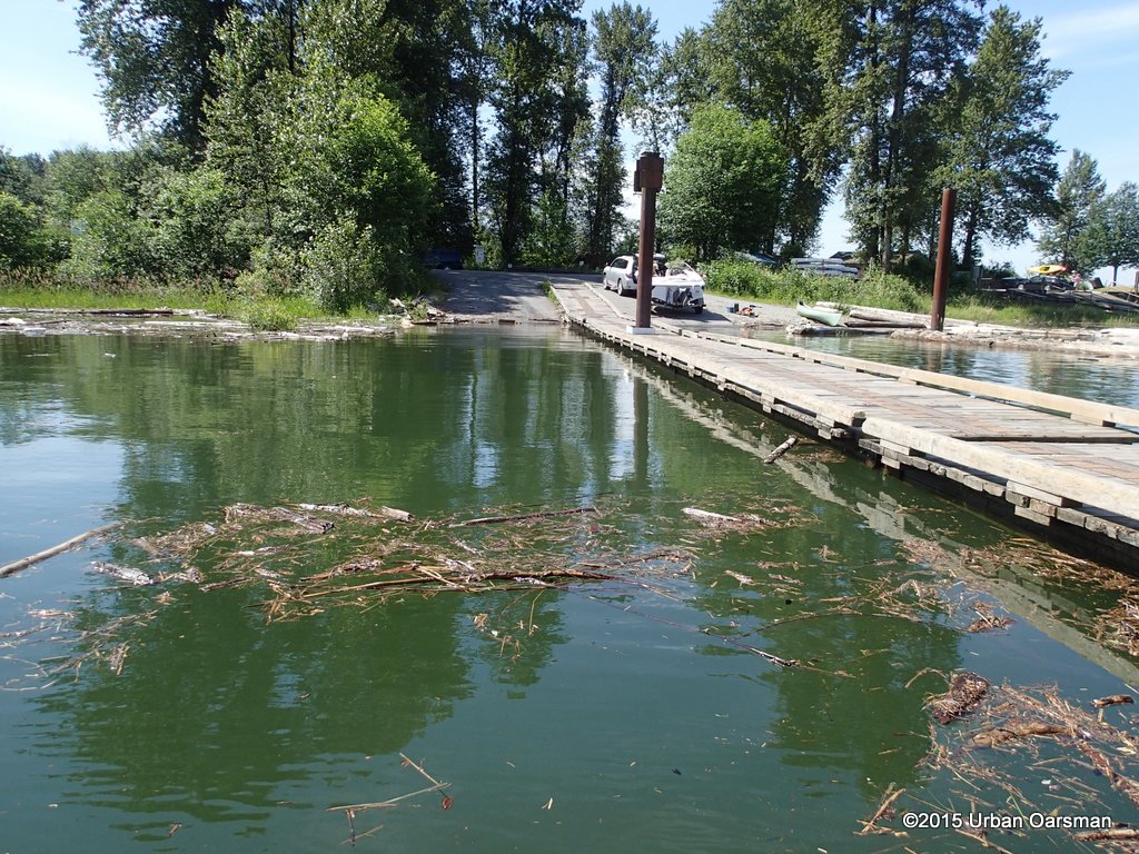 I depart Grant Narrows boat launch around 11:00am.
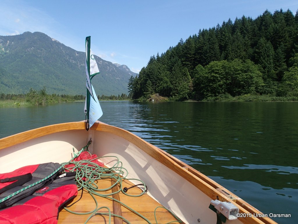 There is no wind. It is a quick row across.
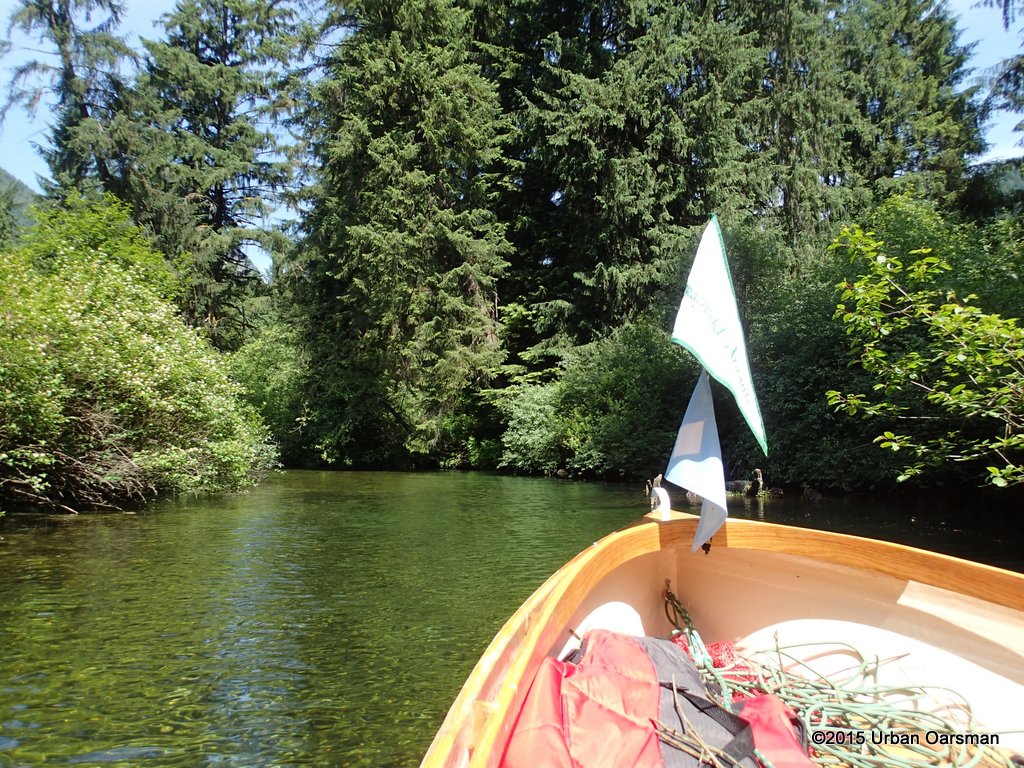
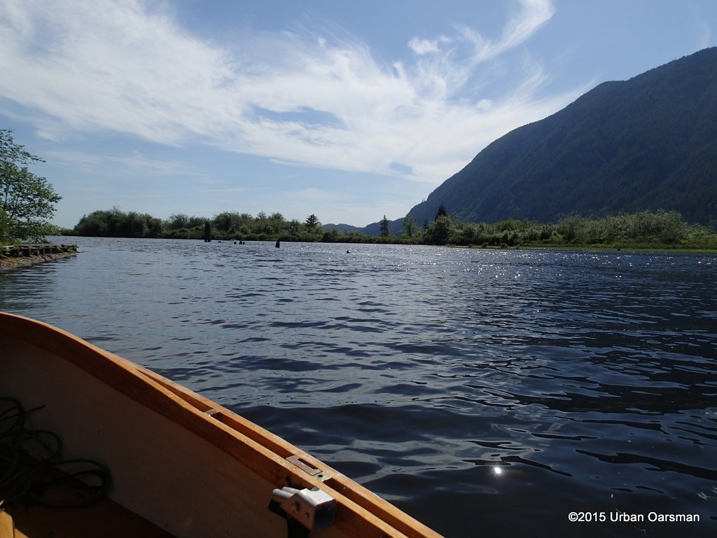
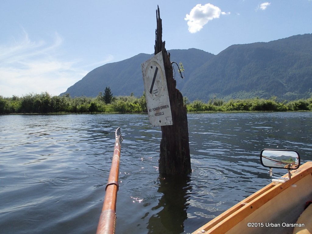
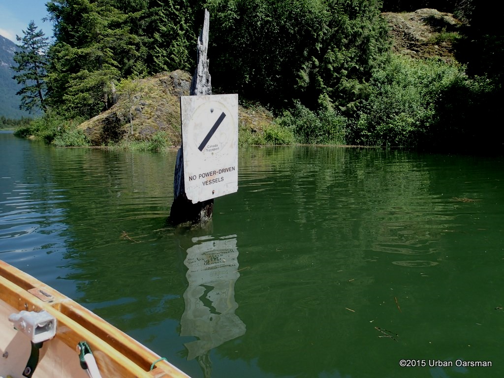 A nine minute crossing. I have never seen the water this high up on the No Power-Driven Vessels sign. Compare this photo to the one I took at the Widgeon Creek High Tide Row:
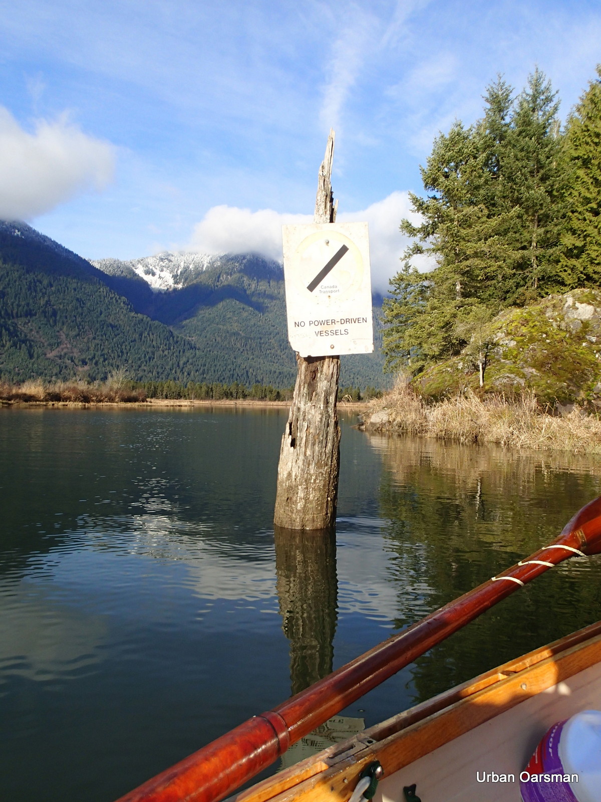 I thought that the water was high on that trip! It is 3′ or 4′ higher on this trip. I should be able to row anywhere.
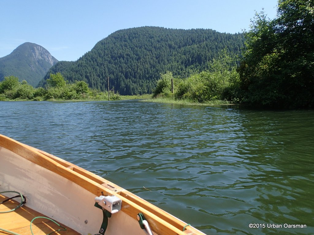
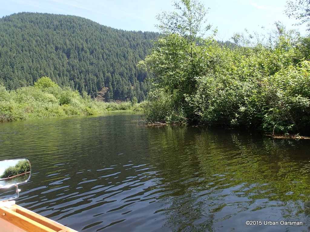
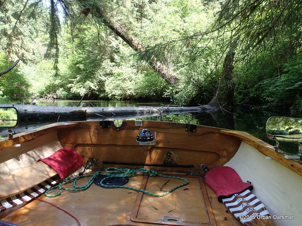
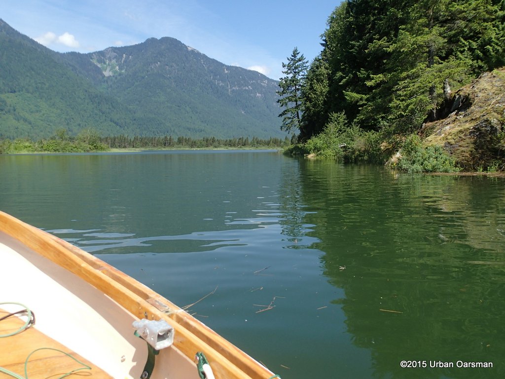 I row up the estuary, around the first bend.
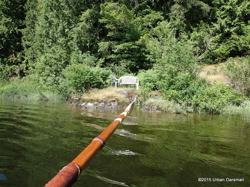
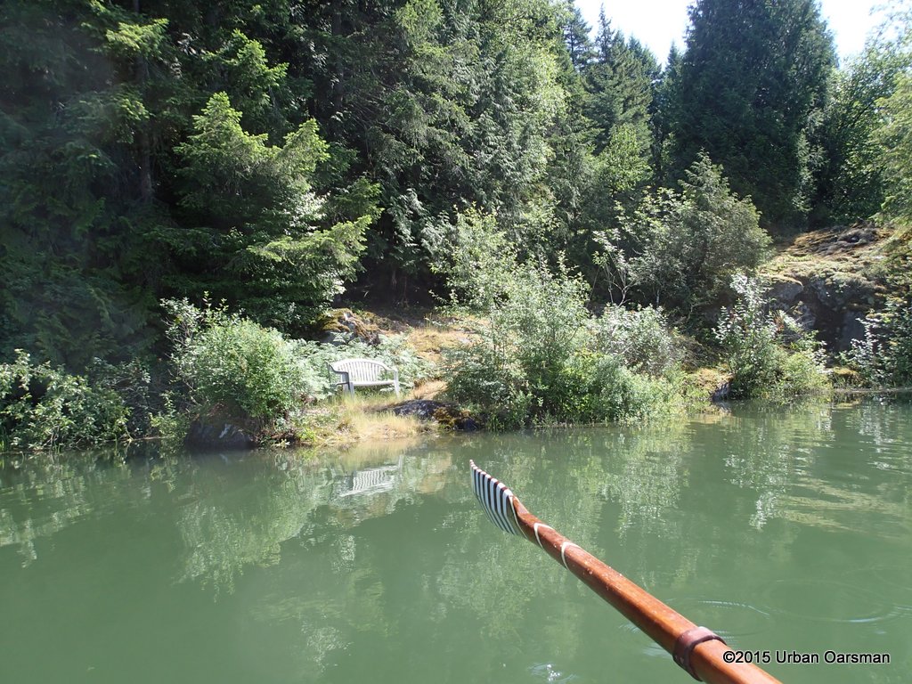 Where the park bench now makes some sense.
-
-
The Urban Oarsman Rows Widgeon Creek, Both Forks, in the Oarstrokes of Shackleton
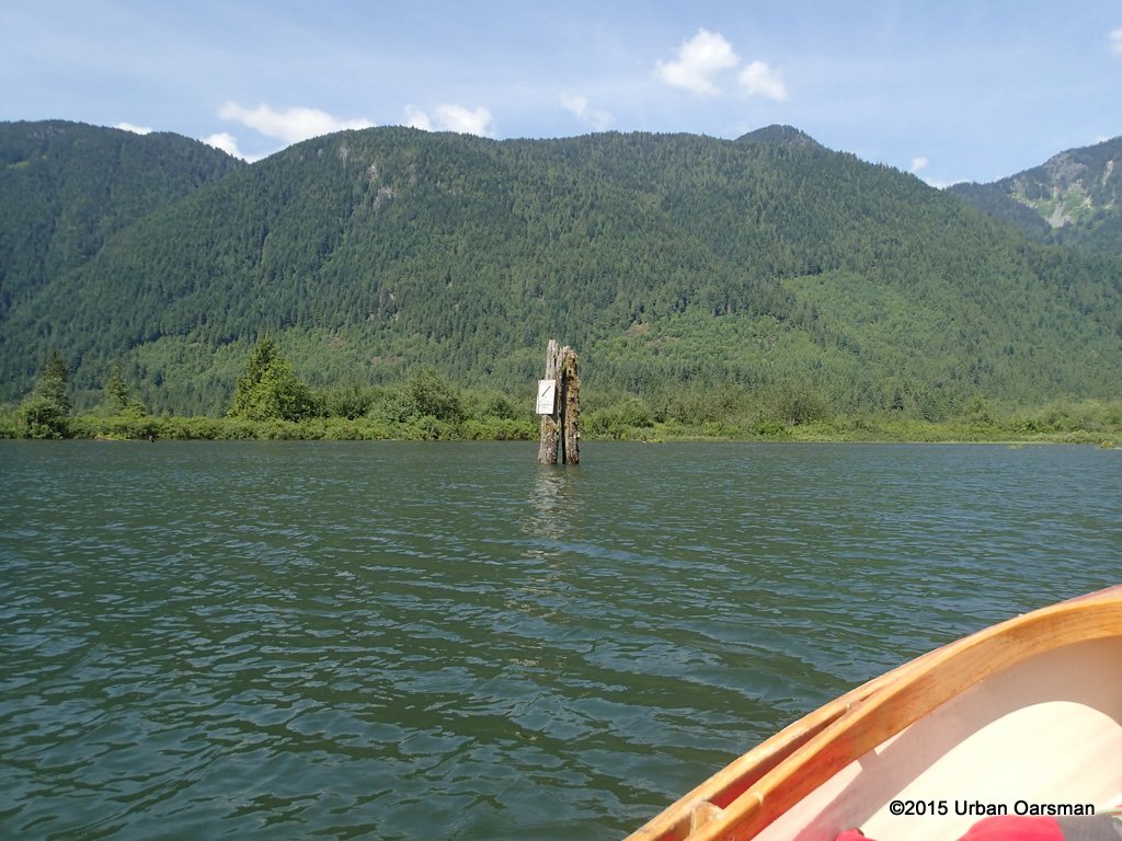
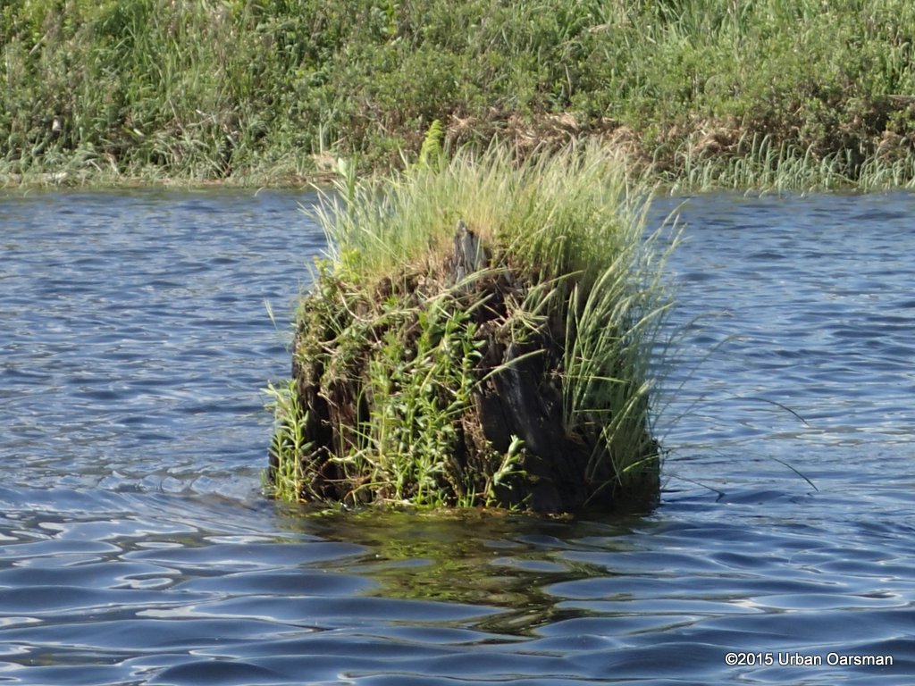
 The top ot the stump is awash.
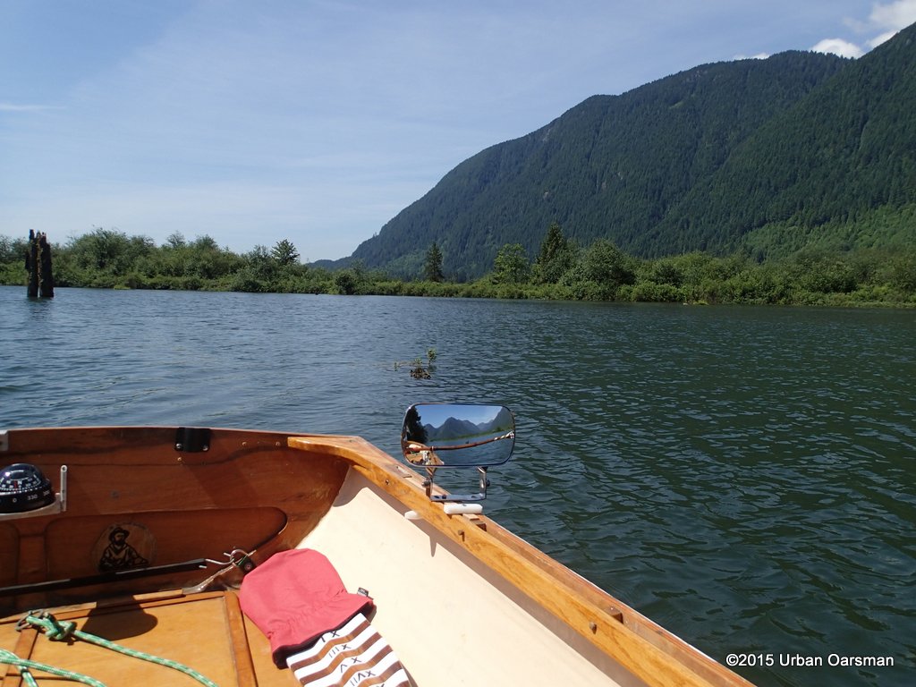
 The water seems to go to the base of the hills now.
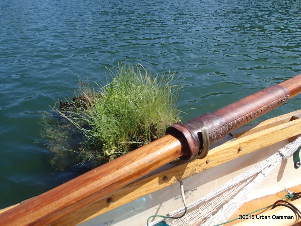
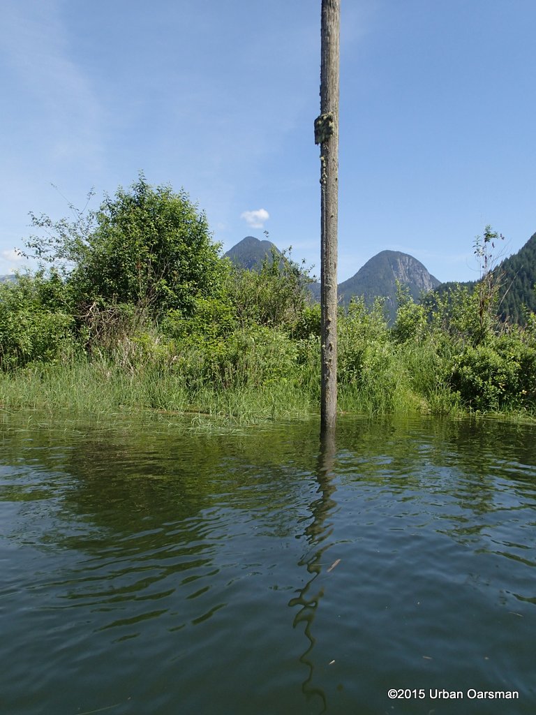
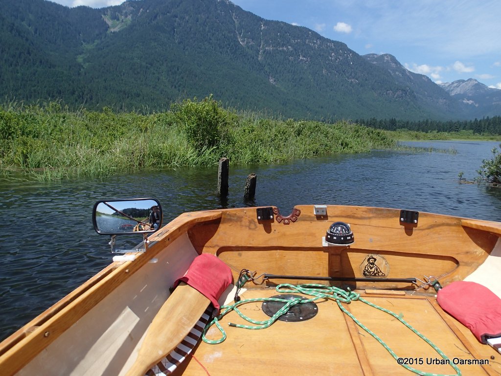
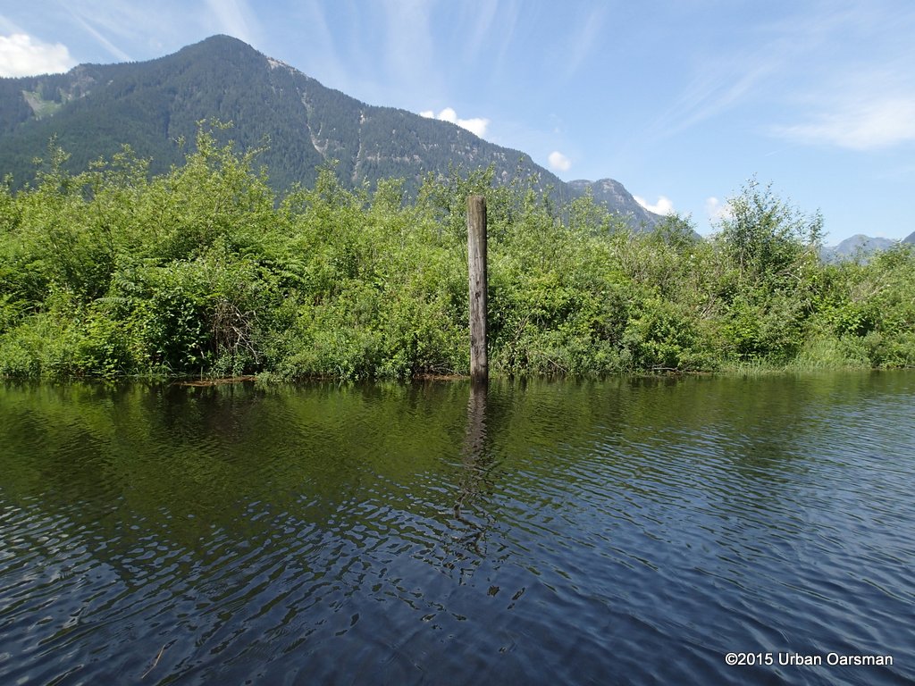
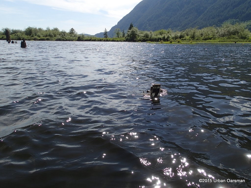
 I think this is the Gauge piling with a bit of weed stuck on it, completely covered. I have never seen so much water here.
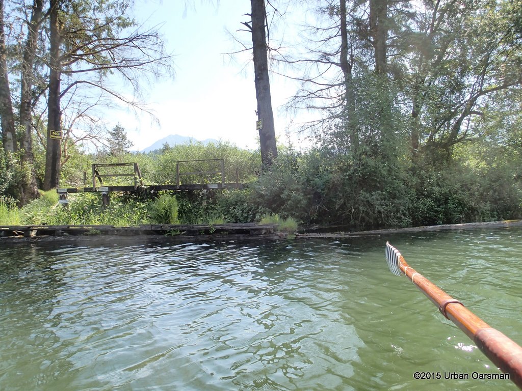 This is where the “No-Tresspassing” cabin used to be until three young men burnt it down July 7th, 2014. They were charged with arson. I do not know what final result was.
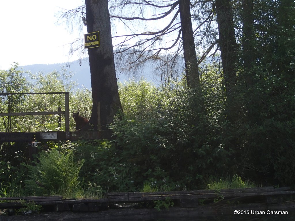 I spotted this young black bear on the shore. He/She looked at me for a bit then ambled into the woods.
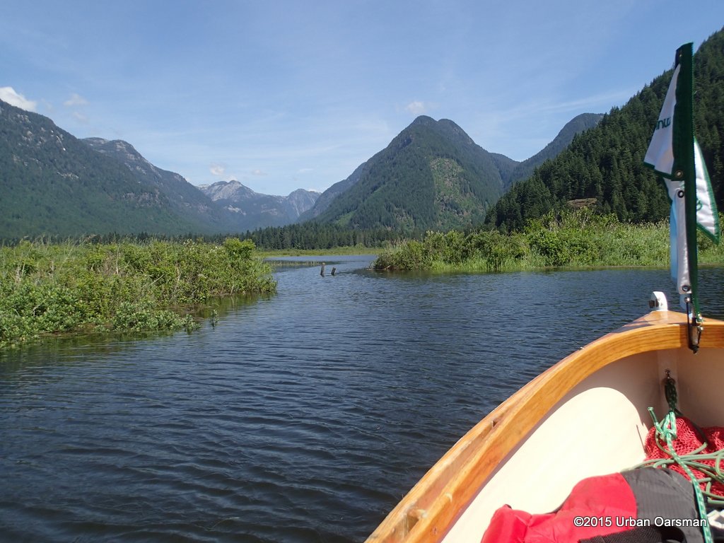
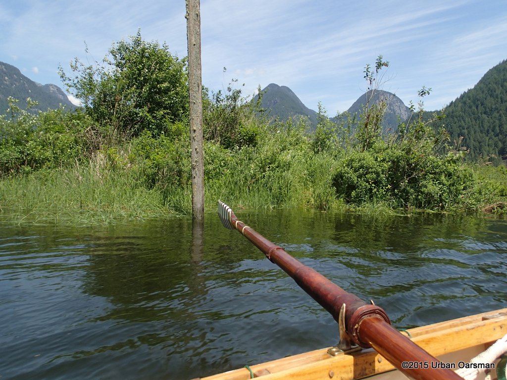
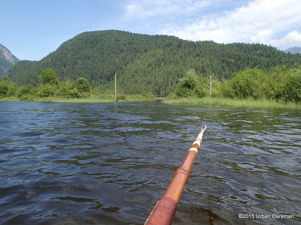
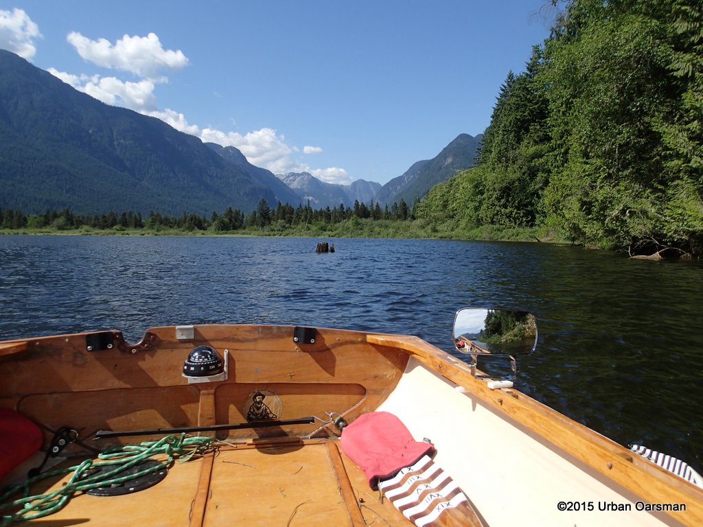
 This is the channel that runs North-East towards the unnamed hill on IR Pitt Lake 4.
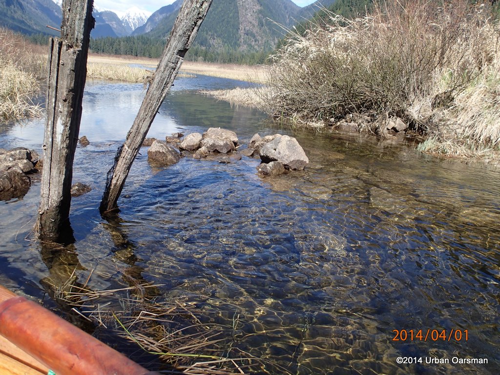
 The posts have been here a very lone time.
 The channel goes North-East for a bit, then splits into two main fingers, one going South-East, the other continuing North-East. Are these posts the remains of a fence? There is a rock wall across the channel between them.
 I float over the barrier. The water is still flowing into the marsh here.
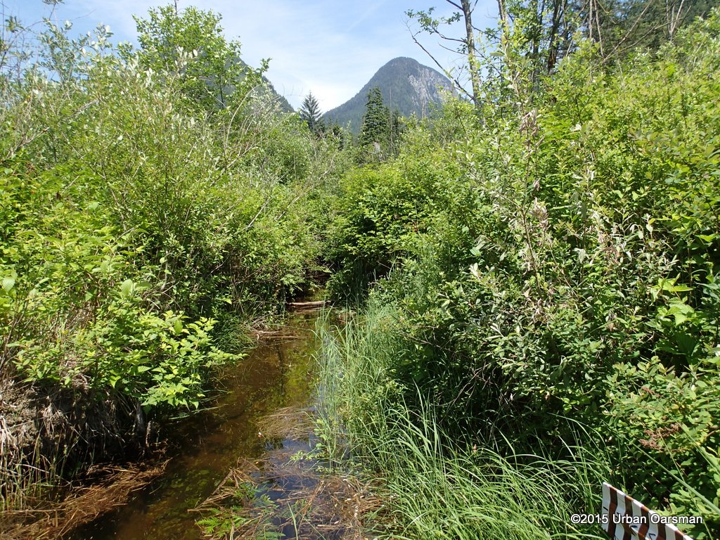
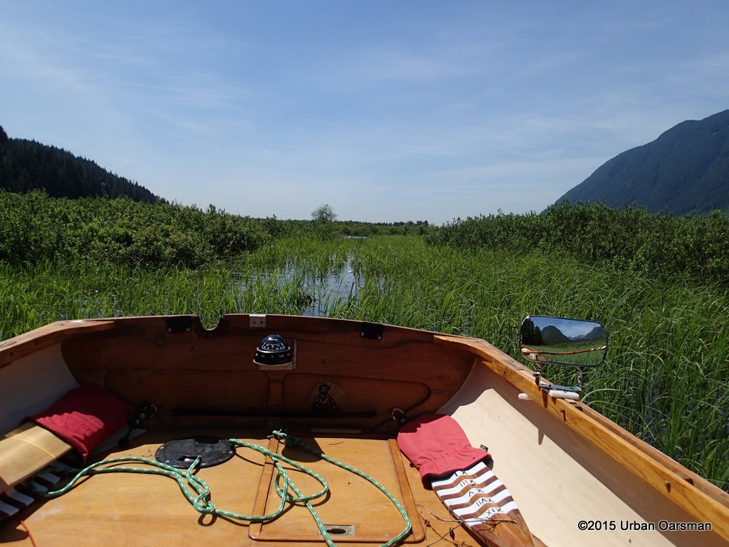 Comming to the end of the line. I push on as best I can.
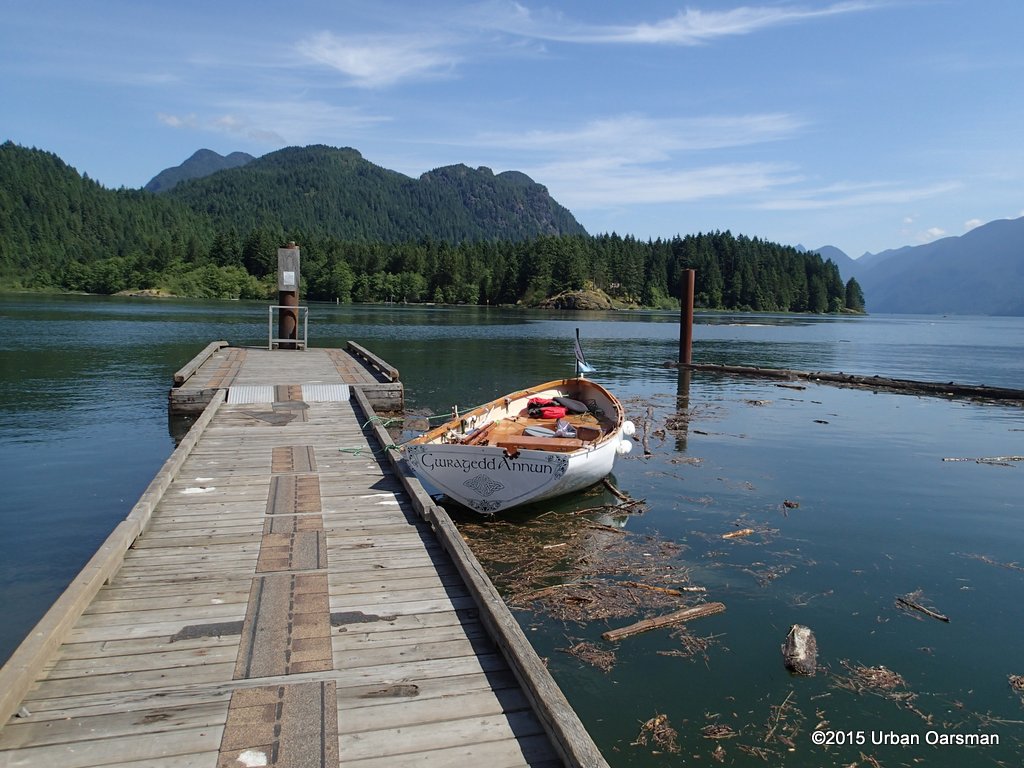
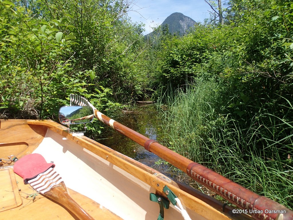
 Gwragedd Annwn in a sea of reeds.
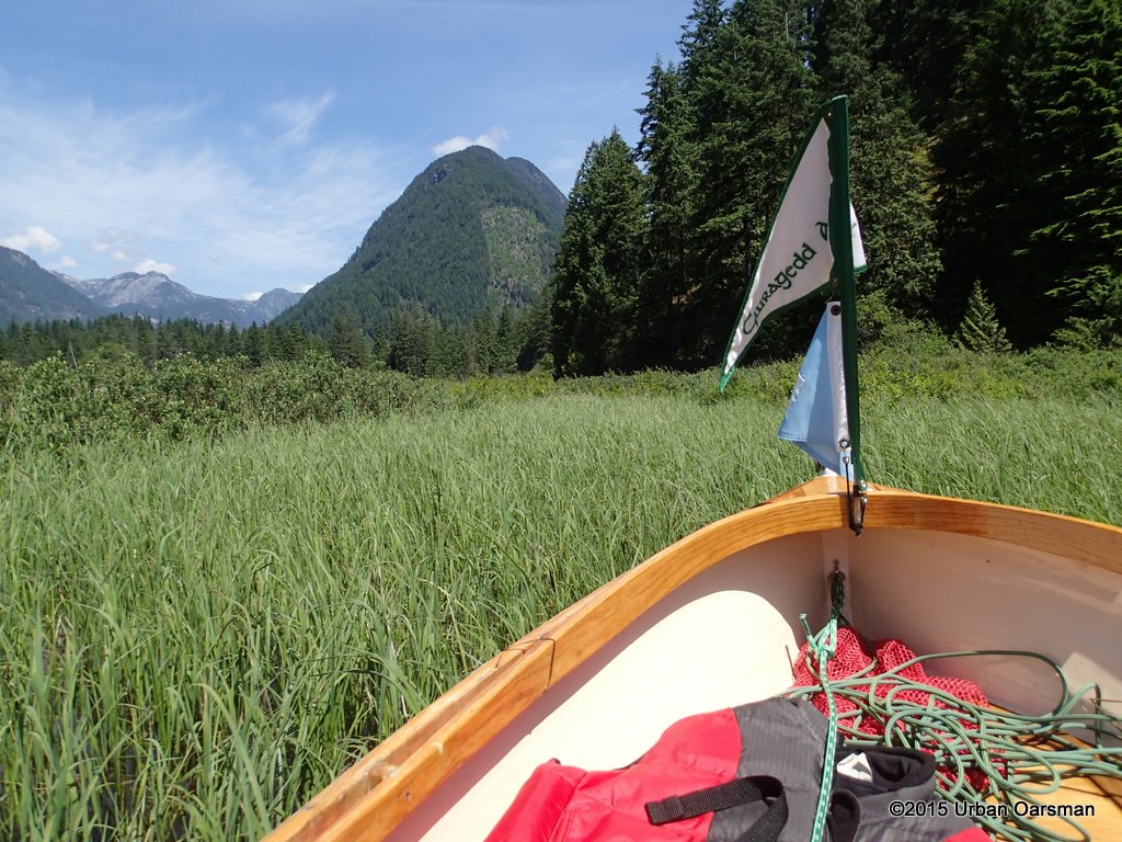
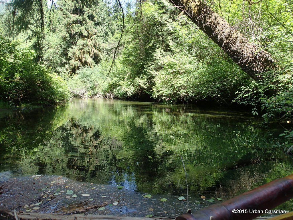
 Cannot go any further.
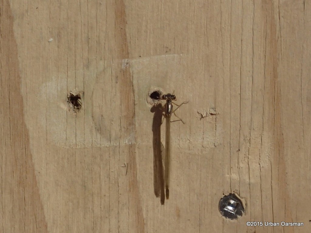 A damselfly hitches a ride. I begin the return row to Widgeon Creek.
 Passing over the barrier. The water was not as deep as I expected. Does the bog swell with the influx of water? Here is a photo of what the barrier looked like during The High Water Row:
- Widgeon Creek High Water Row
 Going back into Widgeon Creek. I turn to Starboard and head up river.
 I take the Right Fork (Not the Left Fork that leads to the campground). I go around the two bends, and take the channel to the Starboard.
 The Starboard Channel. I have never rowed here before. I will see where it leads.
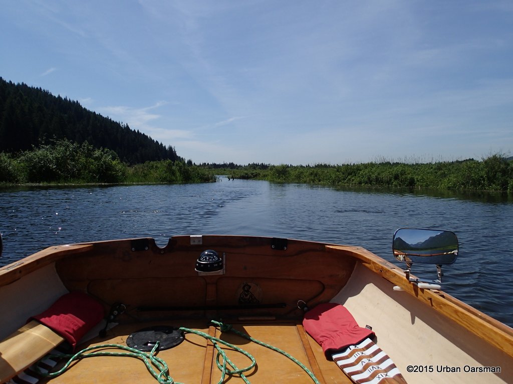
 The channel is quite wide and deep. Has it been dredged before?
 I wonder why? I go on to see.
 There is a piling on both side of the channel.
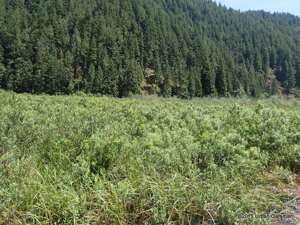
 The end of the channel. It is a small creek. Acording to the maps, it drains from a lake up the unnamed mountain between the Widgeon Creek drainage basin and Pitt River.
 I leave the creek outflow and try to push East. How close can I get to where I was stopped earlier?
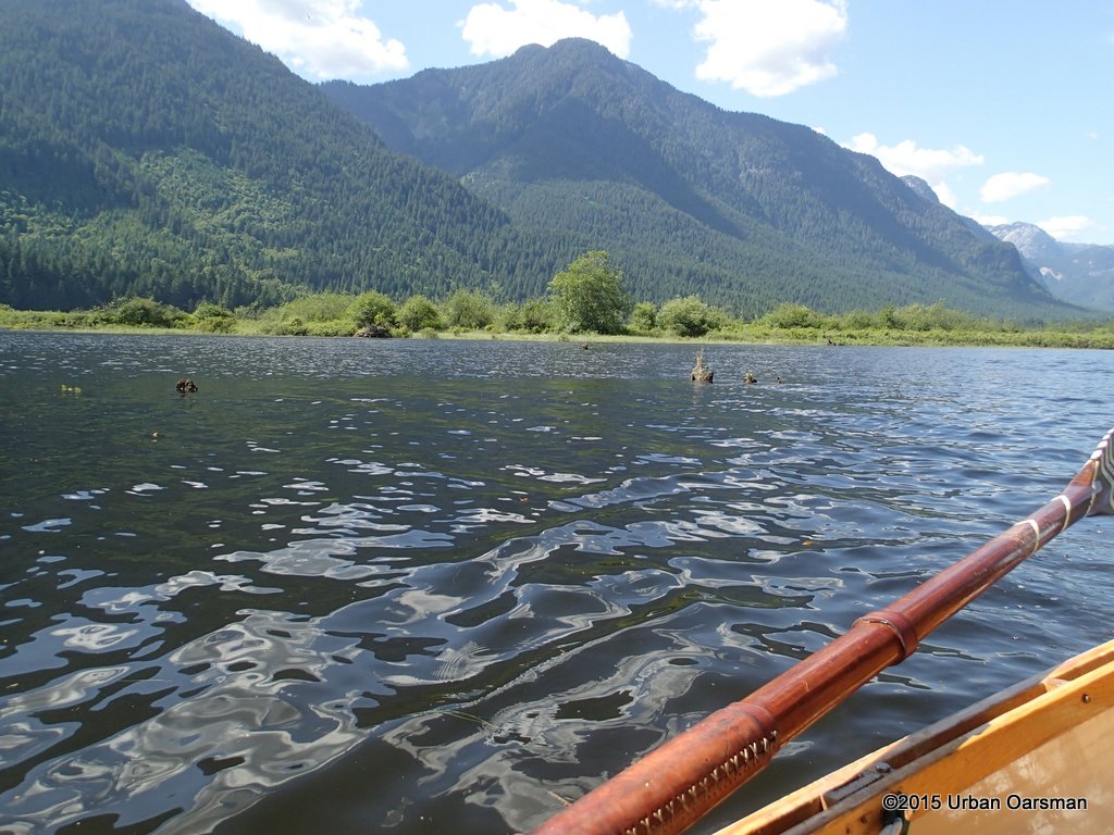
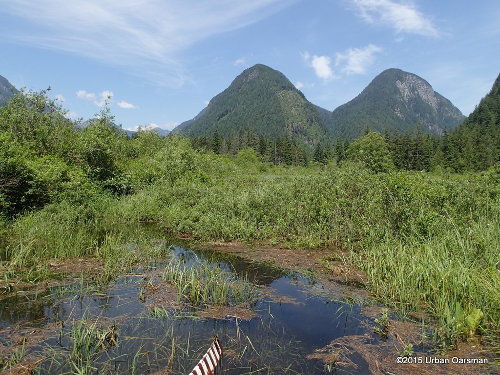 What would Allan Quatermain name these mountains? They are always in the background of photographs taken in Widgeon Creek looking North.
 Acording to the GPS, I am maybe 300 meters away from where I was stopped before.
 Back to the main fork. Acording to Glen Stedham , author of the Vancouver Paddler, The right fork used to be the main fork of Widgeon Creek.
 A fallen tree blocks the way. It does look as if there is navagatable water upstream of the tree. I try to work my way around the root base, but there is notenough room to do so.
 Looking enviously upstream, I turn back and drift down. Time to row back to Grant Narrows.
 I row past the entrance to the North-East channel. The wind has picked up and is comming from the South.
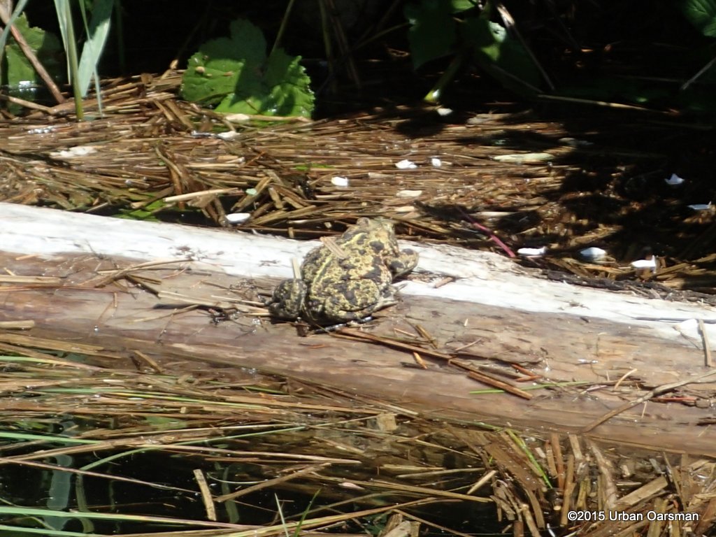 I spot this toad near the shore. I would like to have a closer look, I have never seen a toad (or a bear) here before.
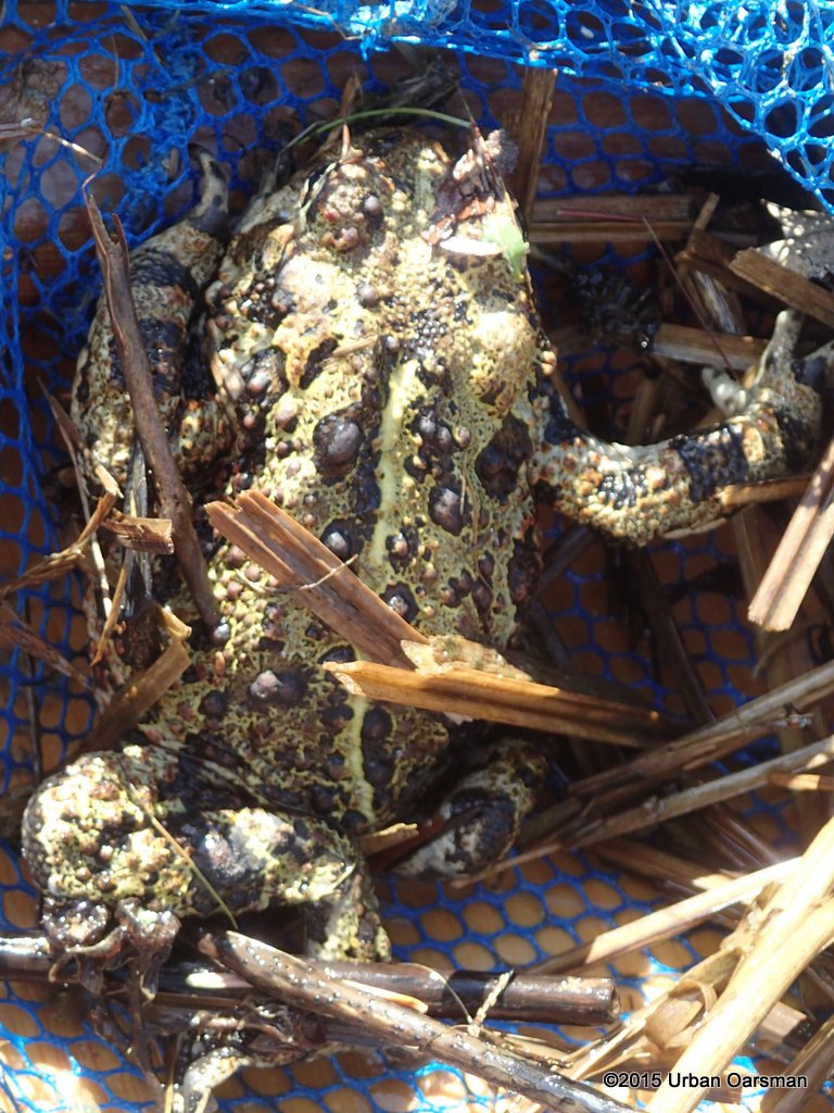 I scoop it up with my net. It looks like a Western Toad, Bufo boreas.
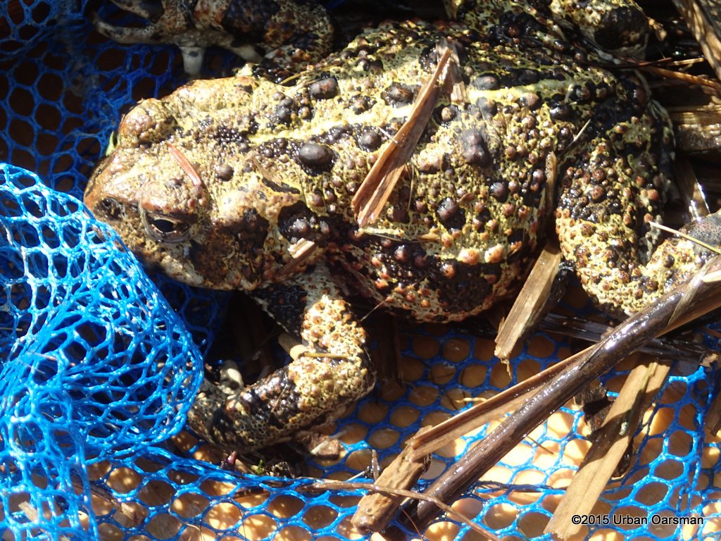 The toad is not very active, it must be quite cold from the creek and the wind. I put it back, out of the water and in in the sun.
 The pilings near where the cabin burned are awash now. I could not see them when I went up river.
 Rounding the bend by where the cabin used to be. I do not see a bear now.
 The Gauge piling is just visible. 6½ feet of water?
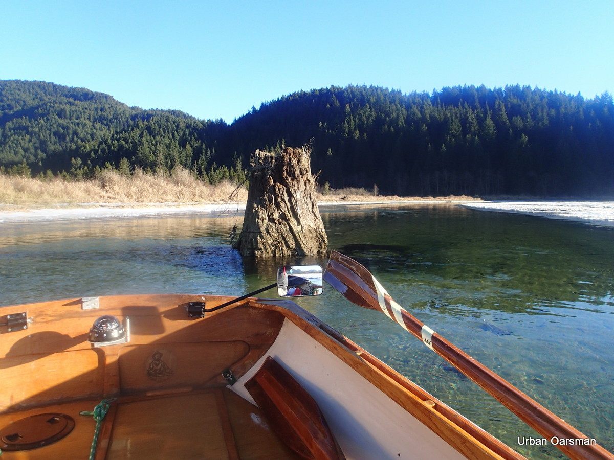
 I can clearly see the stump. The water has dropped about 2′.
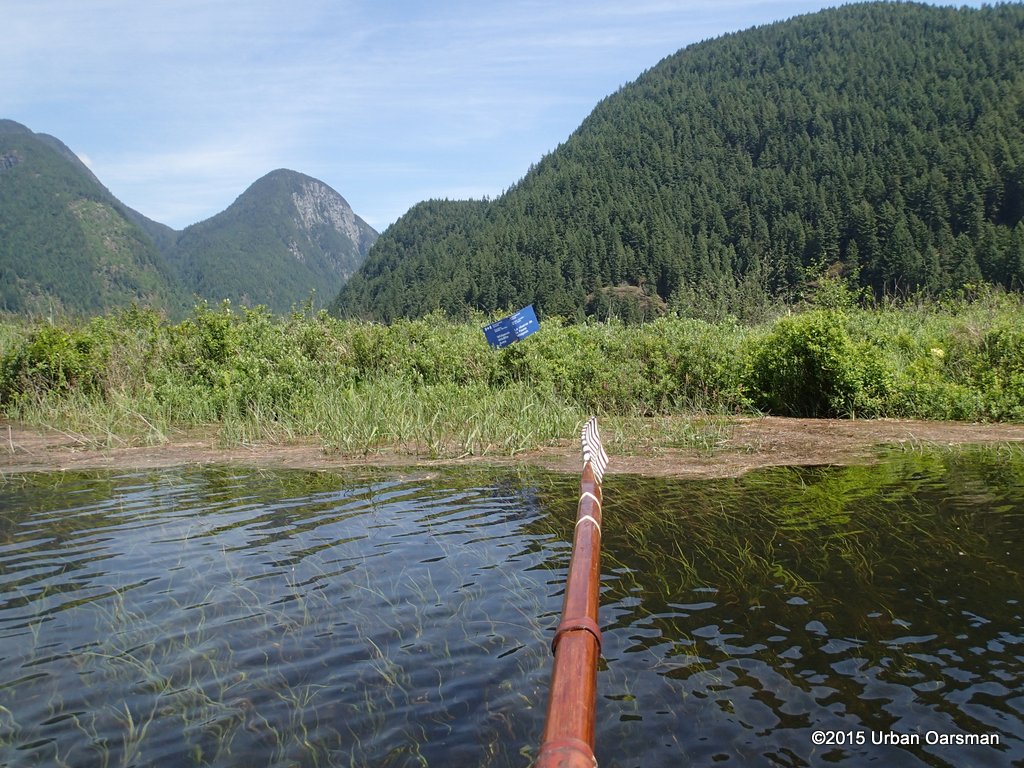
 I leave the estuary behind. It has been a good row. I have gone upstream further than ever before. The highest water levels are in June when the Fraser River floods.
 The bench is a lot higher above water now.
 You can see by the No Power-Driven Vessels sign how much the water level has dropped.
It is a quick ten minute row to Grant Narrows. I pack up Gwragedd Annwn and drive home.  Good Rowing to you.
Mike.

 This stump is usually much more visable. Compare this photo to the one took on my third visit (The Widgeon Creek Ice Row, Both Forks. December 7th, 2013. In the Oarstrokes of Shackleton) to Widgeon Creek:
Hey there I’m trying to figure out if it is safe/possible to canoe up to Widgeon Creek campground this weekend – I know there is some flooding but don’t know how that would affect an overnight camp?
Thanks, scott
Hello Scott,
Sorry I did not get back to you earlier…I was on a rowing trip from Squamish to the Hollyburn Sailing club (West Vancouver).
I do not know if the high water will affect the campgrounds…I am going to go for a row up there this week with the high Fraser Water.
If you did go, can you please let me know how high the water was?
Thanks,
Mike
Hello, do you know if coquitlam River is high enough to paddle board down to Portman bridge?
Hello Jeff,
I have rowed Gwragedd Annwn up the Coquitlam River from the boat launch under the Port Mann Bridge (Maquabeak Park boat launch) in December of 2014.
Have a look at: http://www.urbanoarsman.com/2015/01/02/the-last-row-of-2014-the-urban-oarsman-rows-up-the-coquitlam-river-to-the-red-bridge
I rowed up to the Red Bridge, the bridge for Pitt River Road. Gwragedd Annwn draws 10″ of water. At the Red Bridge, there was enough water for me to row in, but the current was too strong to continue.
I hope this answers your question,
Mike