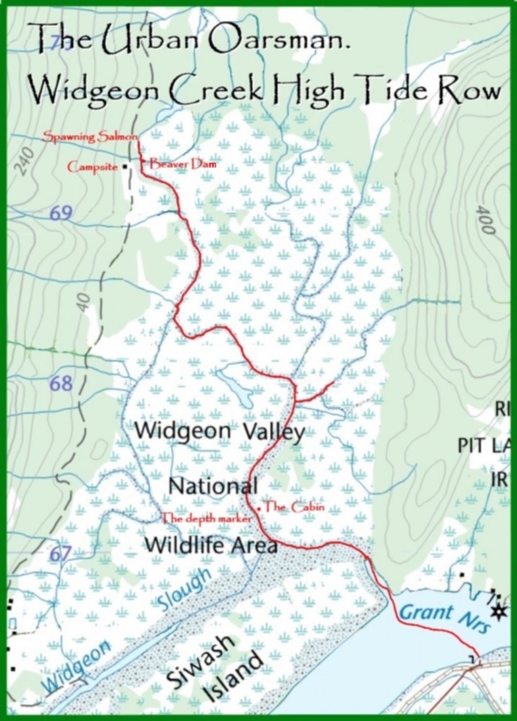
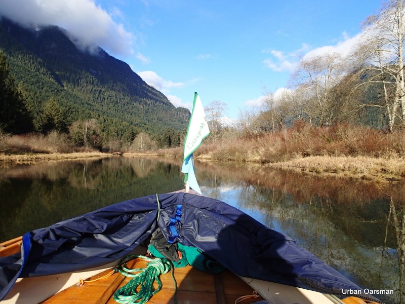
The Widgeon Creek High Tide Row.
Click on picture for large format image.
Tide notes for the row:
Tides at Point Atkinson
Date: Low/Low High/High High/Low Low/High Leaving
Saturday February 16th 3:04am 9:03am 4:22pm 10:11pm falling
2.8m/9.2’ 4.3m/14.1’ 1.7m/5.6’ 3.7m/12.1’
Monday November 25th 3:33am 11:08am 6:29pm 10:56pm rising
2.0m/6.6’ 4.5m/14.8’ 2.6m/8.5’ 3.1m/10.2’
Saturday December 7th 2:01am 9:22am 3:36pm 11:26pm rising
0.7m/2.3’ 5.0m/16.4’ 2.9m/9.5’ 3.7m/12.1’
Saturday January 4th 0:58am 8:07am 2:07pm 7:04pm rising
0.5m/1.6’ 5m/16.4’ 2.8m/9.2’ 4m/13.1’
February 16th, 2013
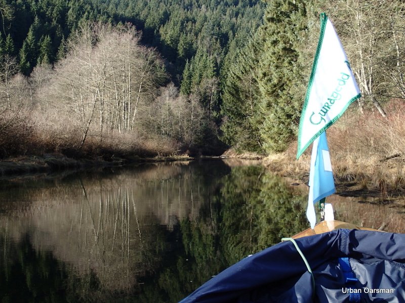
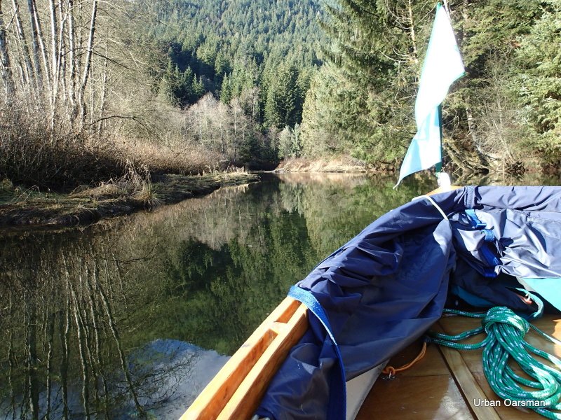
Matt & Mike, the Widgeon Creek Row.
Tide was rising at 11:30am when I arrived. The gauge showed 5’ when I passed.
Tide was falling at 4:00pm when I left.
The water level on the depth marker seemed the same both times I passed.
November 25th, 2013
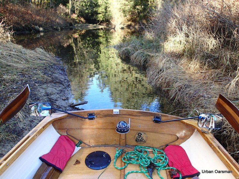
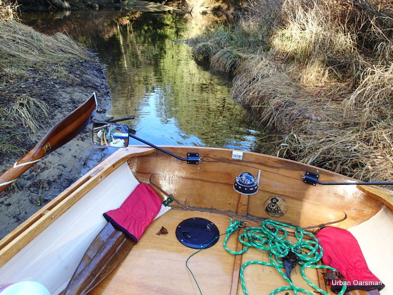
Widgeon Creek, the Right Fork.
Tide was rising at 10:00am when I arrived. The gauge showed 2.8’ when I passed.
Tide was still rising at 3:00pm when I left. The gauge showed 3.8’ when I passed.
The rise from 11:00 to 1:00pm was approximately one foot.
December 7th, 2013:
Widgeon Creek Both Forks Row.
Tide was rising at 9:45am when I arrived. The gauge showed 3’.
Tide was still rising at 2:45pm when I left. . The gauge showed 4.5’.
The rise from 10:40am to 2:00pm was between 18-24”.
January 4th, 2014:
Widgeon Creek High Tide Row.
The tide was rising at 11:00am when I arrived. The water level was at 5.5’ when I passed the gauge.
The tide seemed to be falling at 2:00pm when I left. The change in depth at the gauge was a rise of approx. 4”.

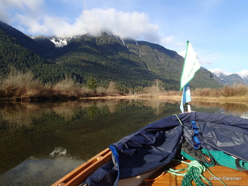
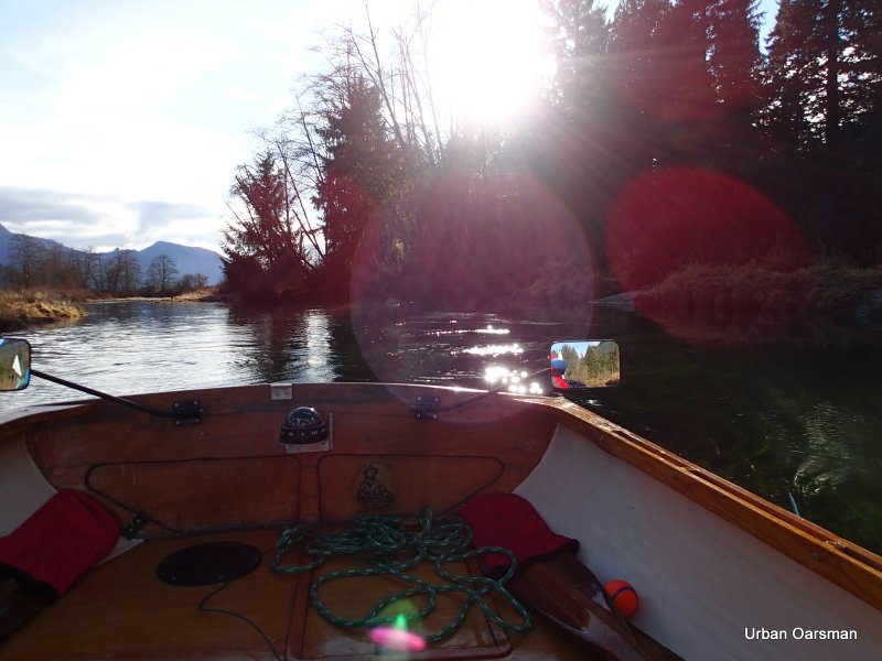
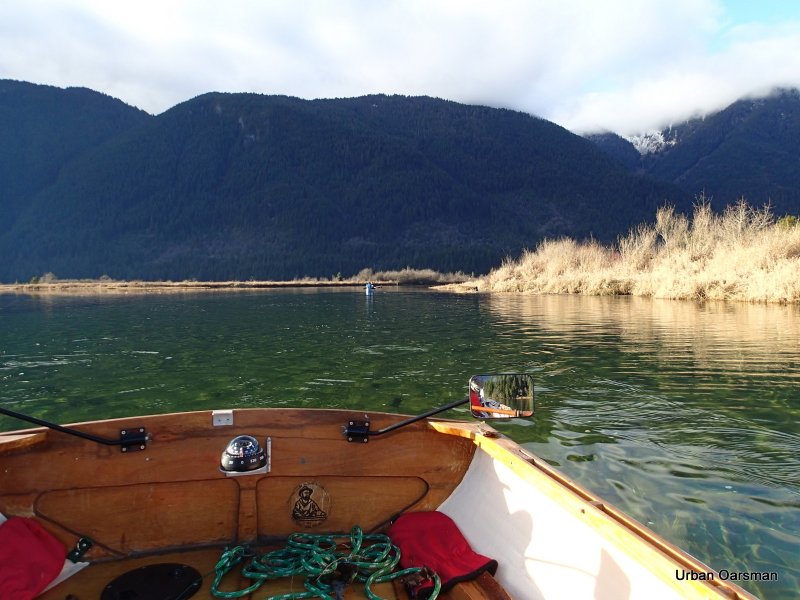
Gwragedd Annwn tied to the float at Grant Narrows. A Kayak and a Canoe are in the distance heading for Widgeon Creek. There is no wind and the current in the Pitt River is going upstream.

A telephoto shot of the Kayak and the Canoe. Flat paddling.

Leaving the dock. The tide is quite high, the scum-line on the ramp shows a possible one-foot rise.

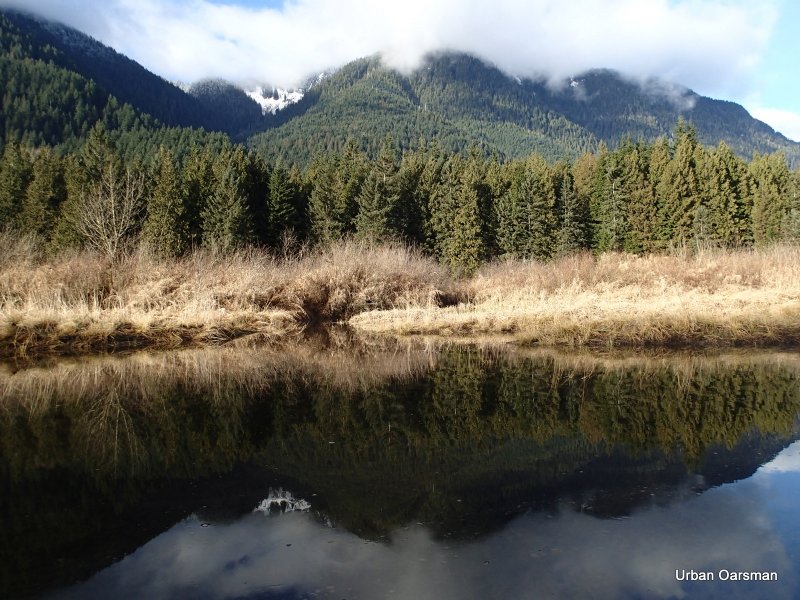
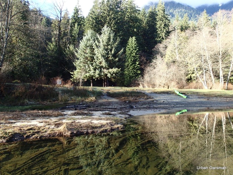
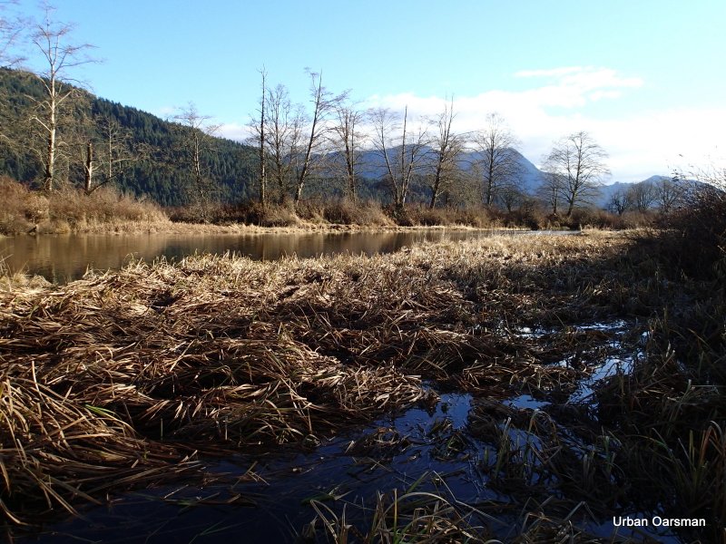
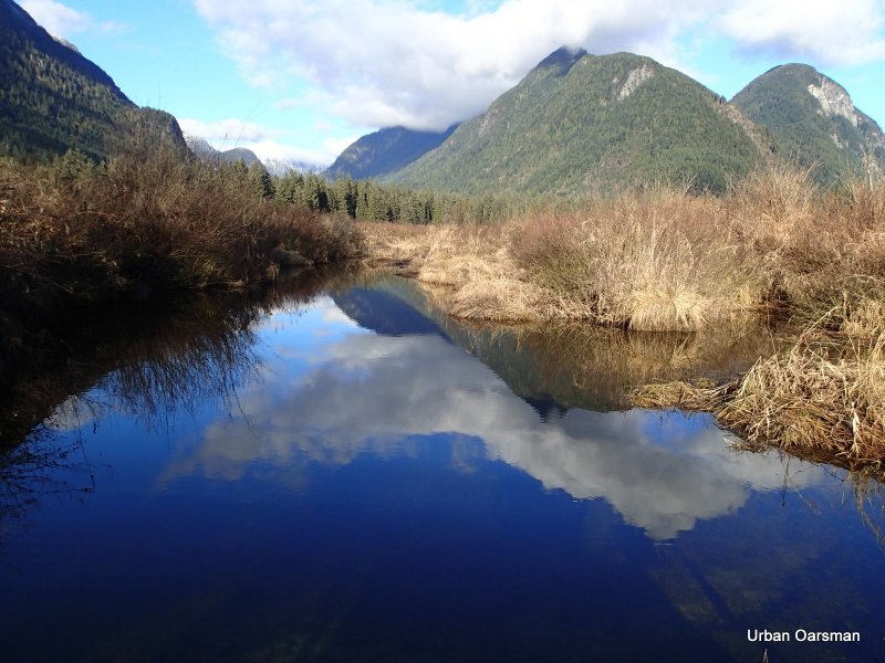
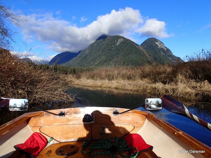
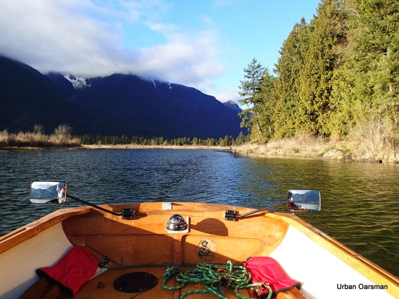
Widgeon Creek estuary is to the West.

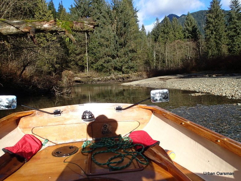
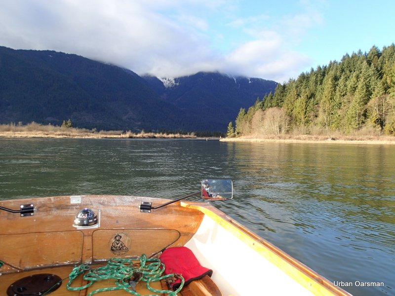
Looking North-East towards where the Widgeon Creek Lodge used to be. I stayed there one weekend twenty-five years or more ago. I wonder if it is still operating. Just above the mirror in the picture is a seal diving.

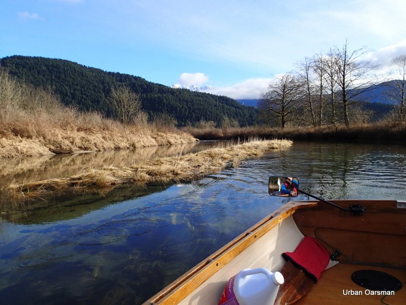
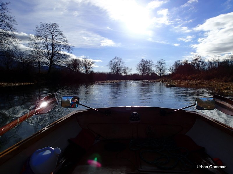
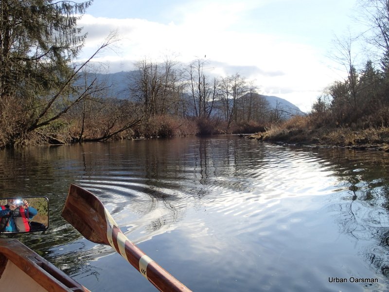
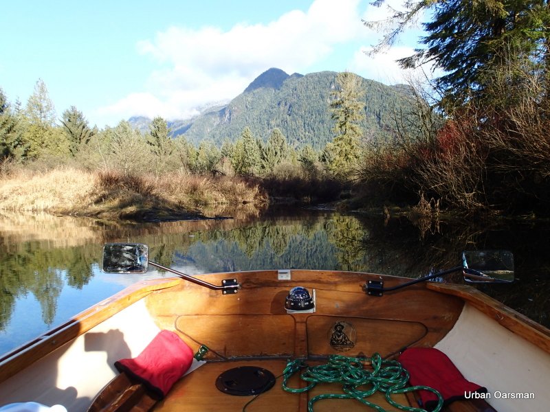
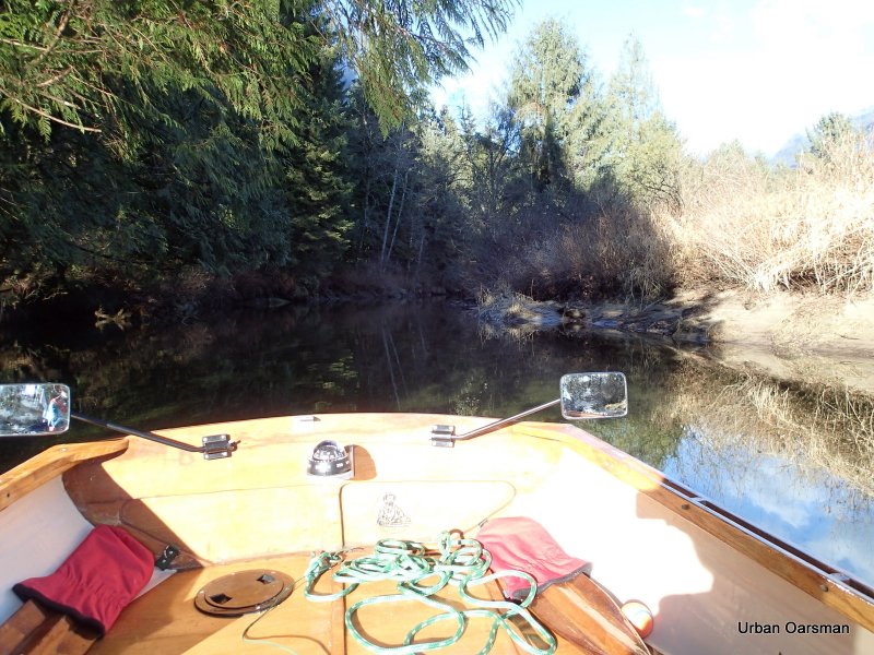
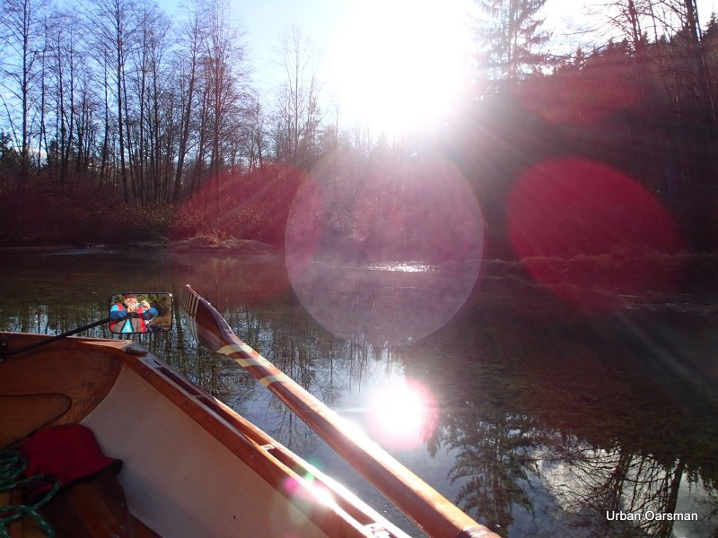
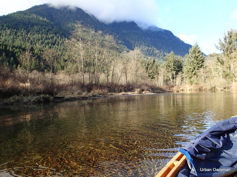
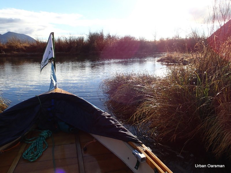
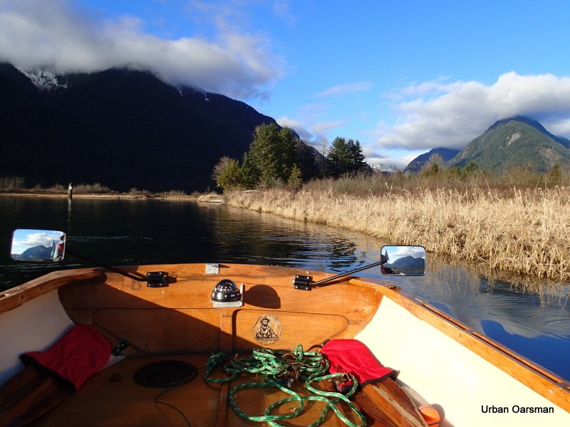
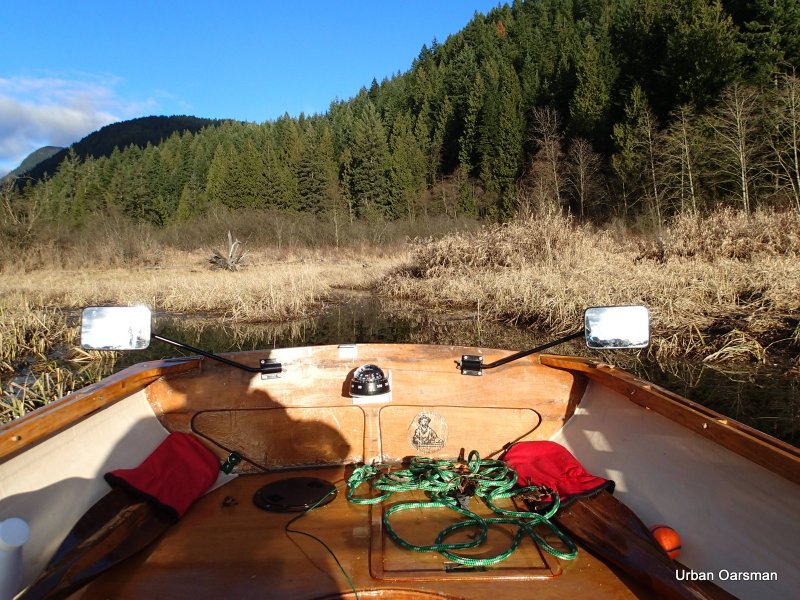
Entering the estuary. Looking off my Starboard side, South, down Pitt River.

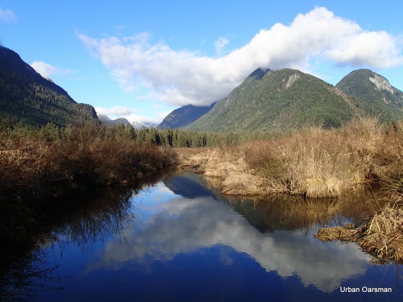
Looking North-East as I enter. The water is quite high on this row. I know that there are some pilings on this side of the estuary that are now submerged.

The first visible piling. I think that I have passed three that are under the surface. The water is right up to the reeds on shore.

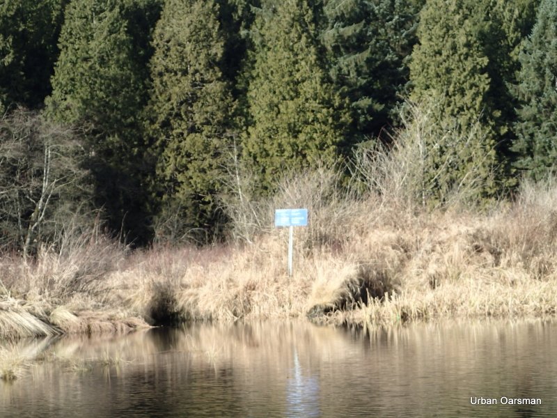
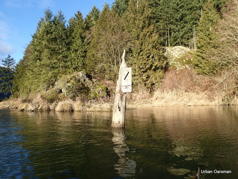
The “No Power-Driven Vessels” sign.

A close look at the base of the sign shows that the tide/current is going into the estuary.

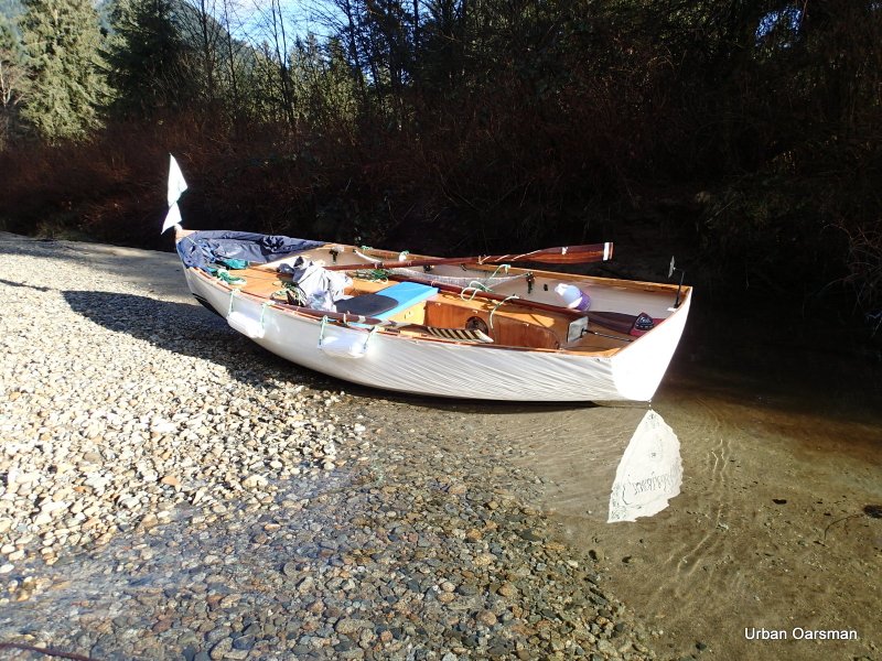
A bit of a self-portrait. This is my Movember beard.

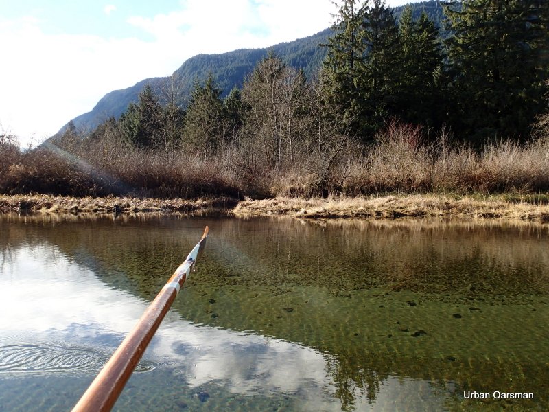
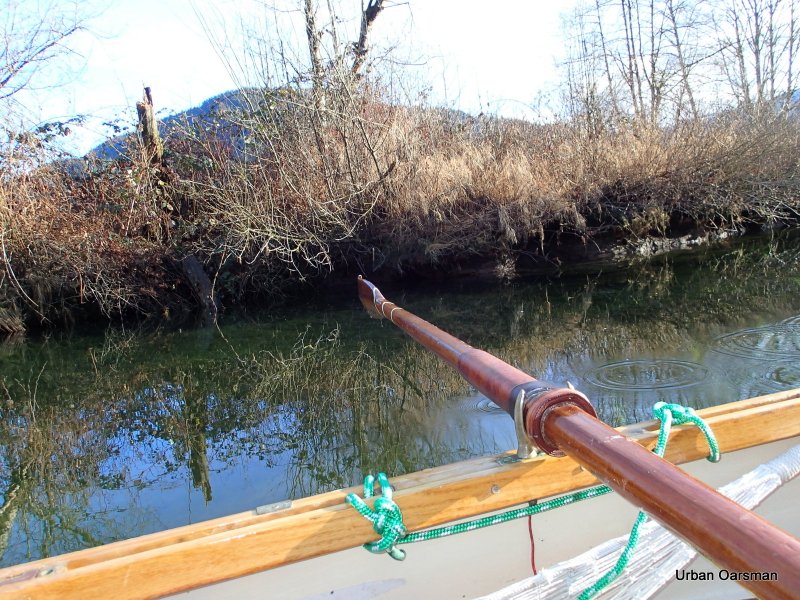
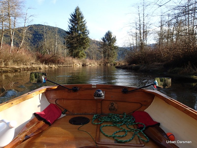
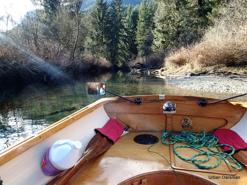
Trying to look far-sighted for the camera. A good shot of my Port Depth-sounder oar. For some reason, most of the painted lines have worn off. Time for some new paint.

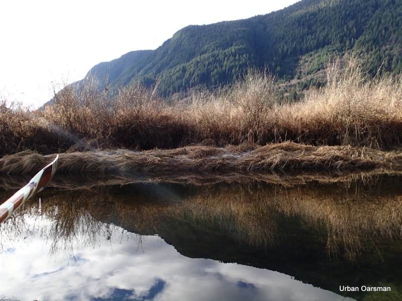
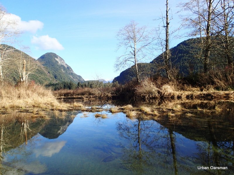
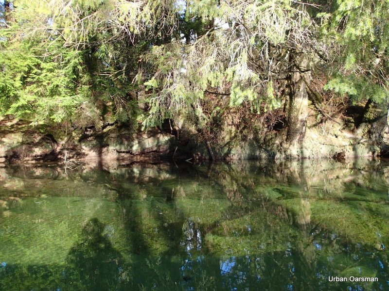
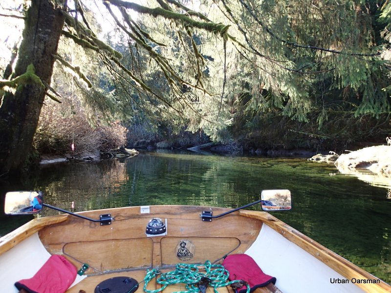
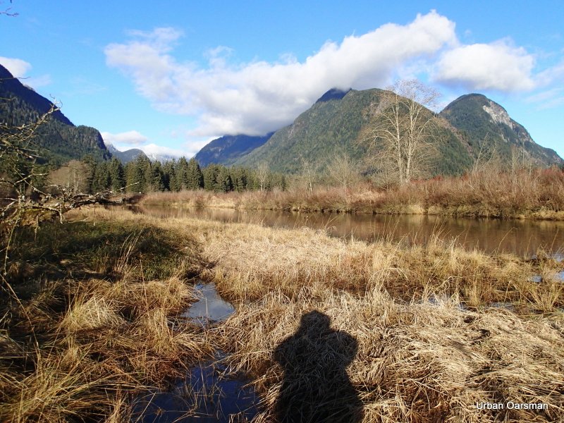
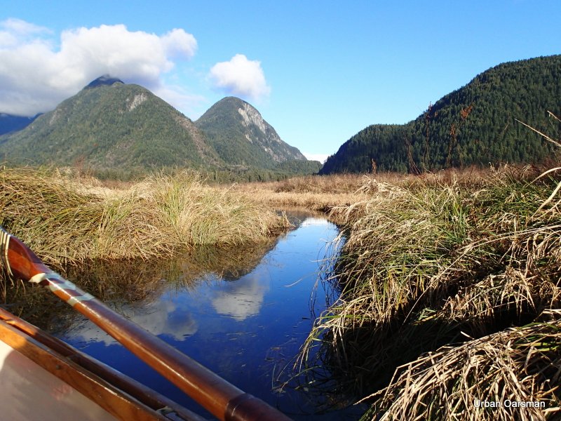
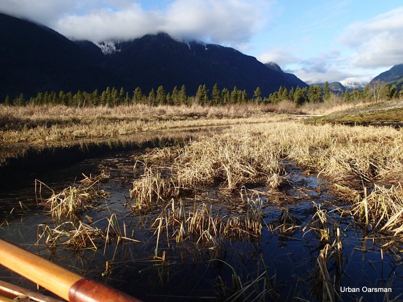
The Widgeon Creek estuary is full at this tide with the water going up to the shore line reeds. No need to find the deep channel, there is over two feet of water everywhere I row.

The North Shore of Siwash Island. I wonder why this island and Siwash Rock off of Stanley Park share the name “Siwash”.

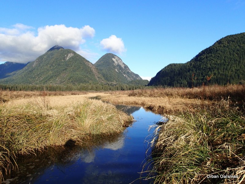
Looking West into the estuary.

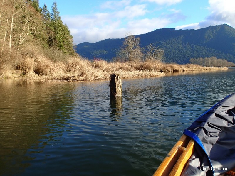
At lower tides, this stump is in the middle of the navigable channel.

Passing by the stump. The tide is very high.

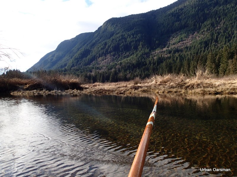
The South-West view.

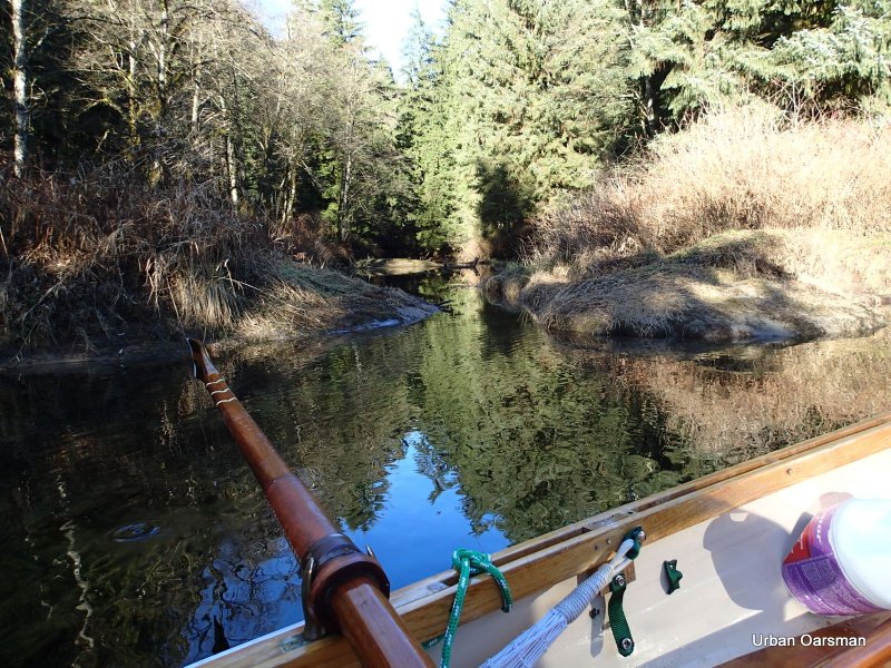
I row around the bend an begin to pass the pilings rowing upstream.

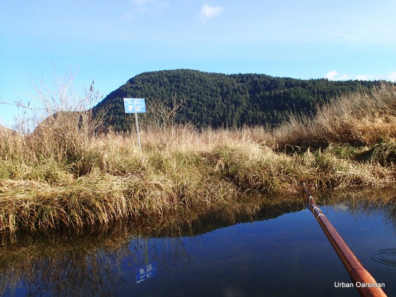
The depth marker Piling. It is showing about five feet four inches. The current still seems to be flowing upstream.

Leaving the depth marker behind.

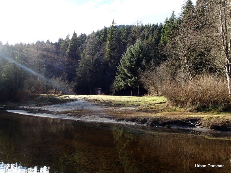
The “No Trespassing” cabin.

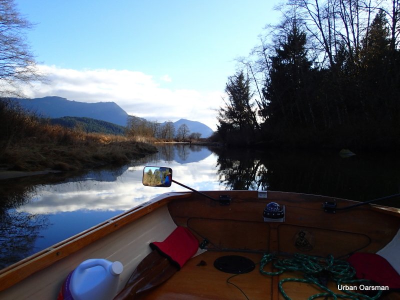
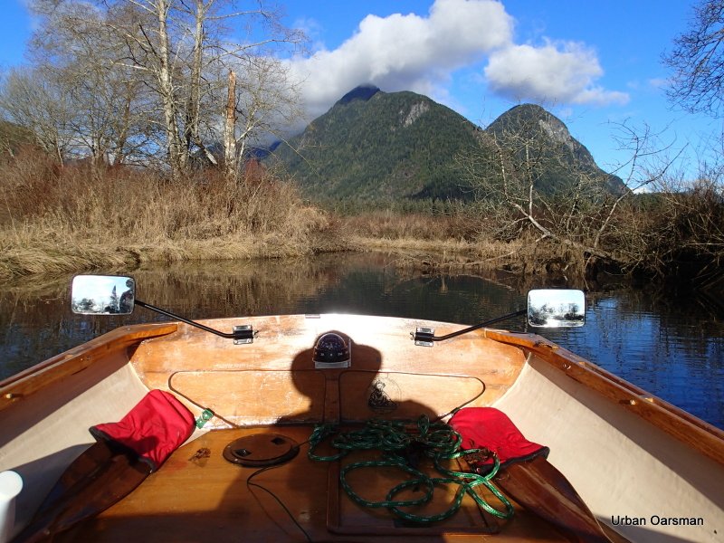
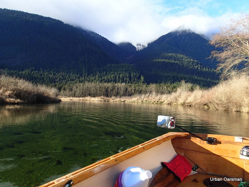
Looking North up Widgeon Creek.

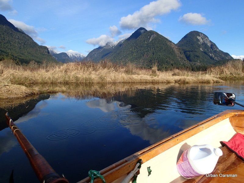
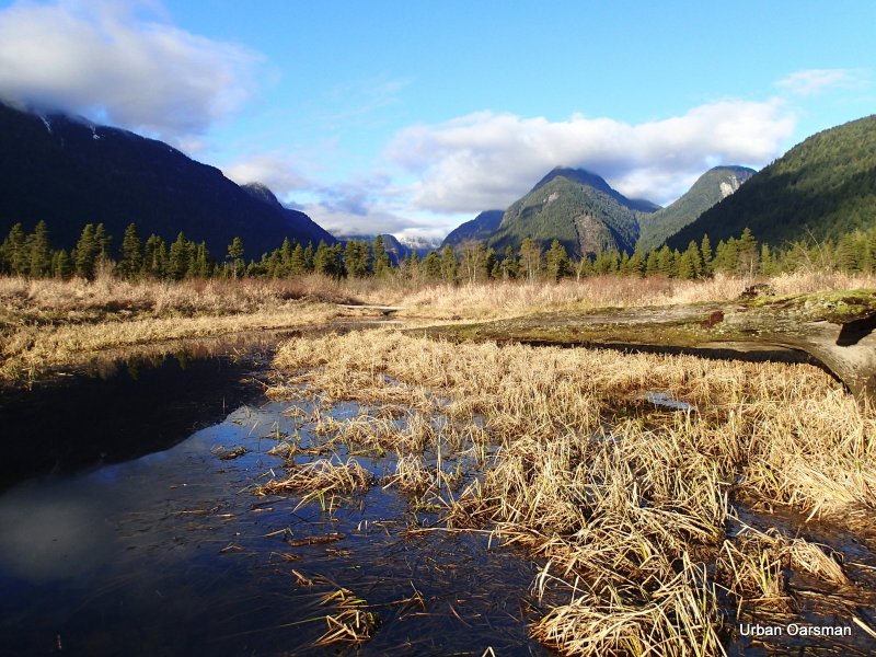
Widgeon Peak behind the clouds?

The tide has never been high enough for me to enter this side channel. It is shown on the charts and the topo map.

I am going to back into the side channel so I can see where the deepest route is. The Channel goes to the North-East.

I can see that the current flowing into the channel.

The topo map, the chart and Google Earth show the channel going in quite a way. Let’s see how far in I can row today.

More than two feet of water to row in.

The channel widens. This photo looks to the North-East.

Looking to the South-East. Does this channel connect up with the main estuary?

I continue on down the North-East channel.

The channel begins to narrow. How much further can I go?

I am not going to be able to go much further….

Port side view. The channel is now too narrow to row in without catching the reed at the side.

Starboard side view. Too narrow to row in. I should have brought a paddle, Gwragedd Annwn needs about twenty feet of width to row in. I try paddling with an oar, but do not get much further.

I row out of the side channel, against the current. How much higher will the water rise?

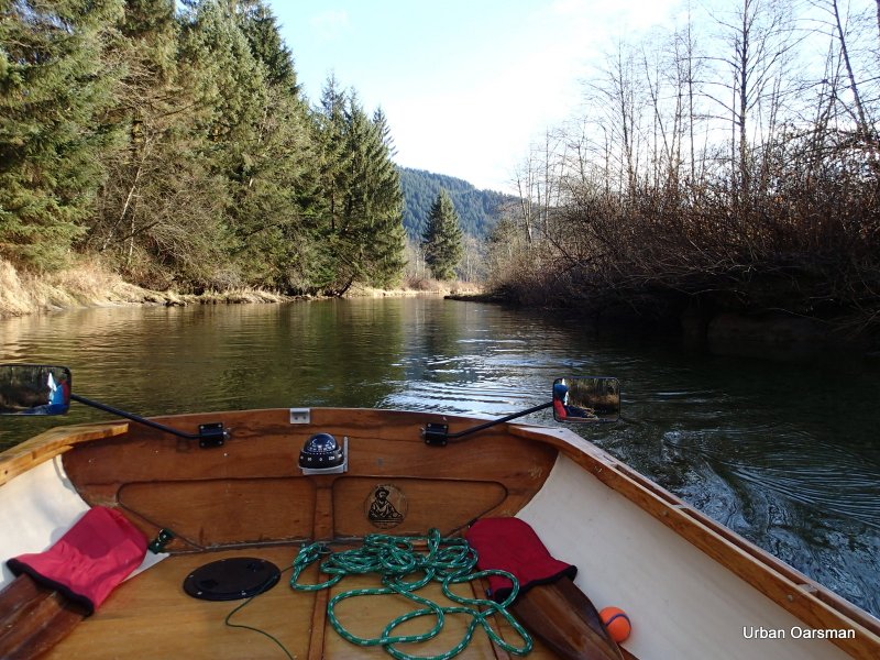
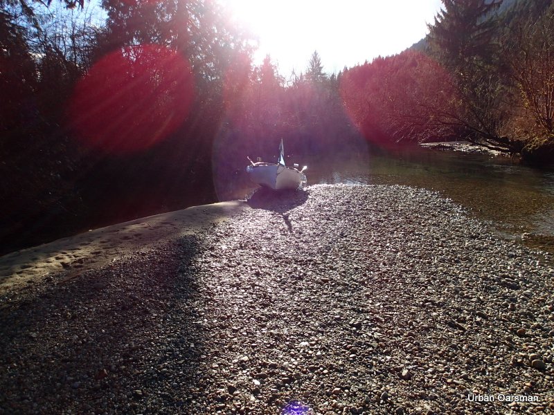
This photo looks up the Starboard (right) fork. The canoeists have landed on the beach. I am going to take the Port (left) fork to the campground.

Sign pointing to the campground, down the Port (left) fork.

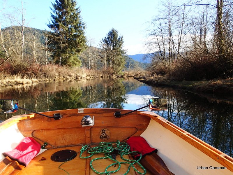
Looking South-East down river.
Looking North-West up river.
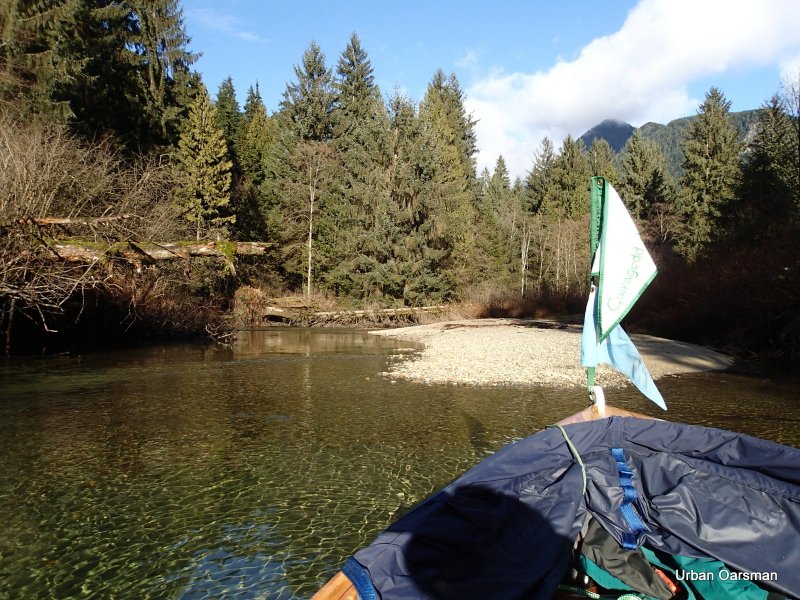
Another Widgeon Wildlife Area sign. There is a channel to the right of the sign. Too shallow and narrow to row up. Will explore on the way down.
I row further upstream.
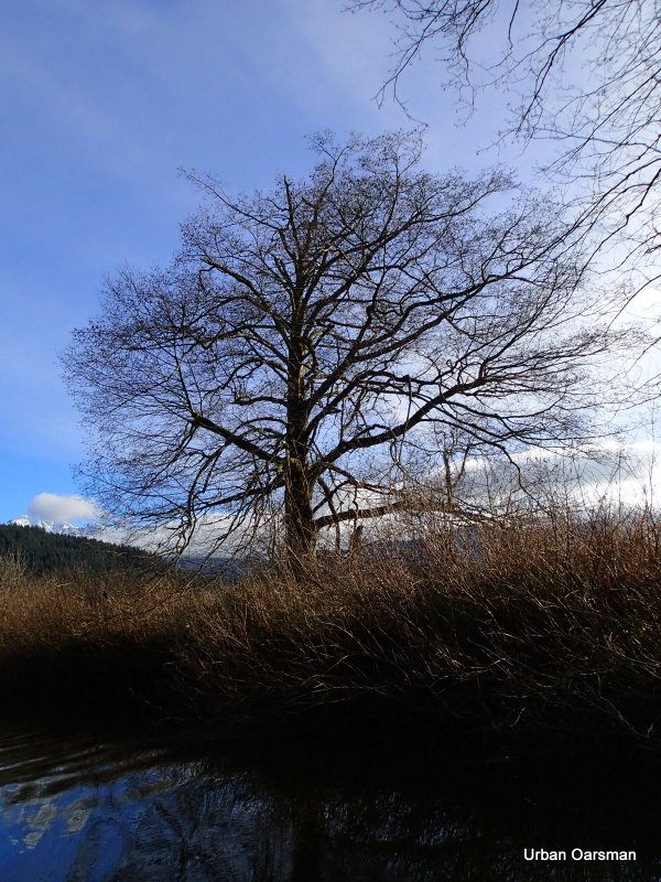
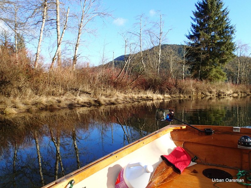
A tree on the South shore.
Easily two feet (or more) water than the last time I rowed here.
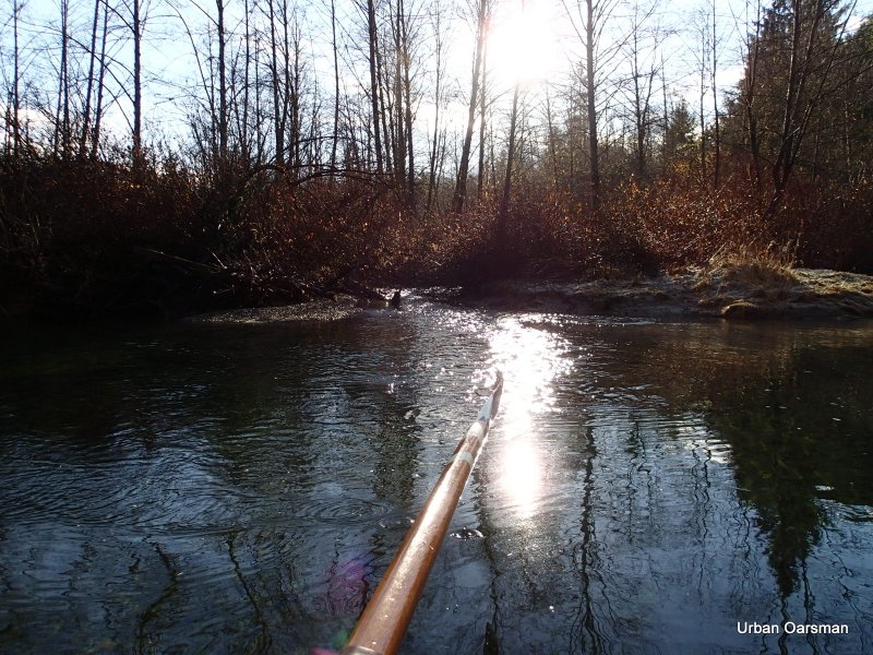
There is still some frost in the shadows.
Widgeon Creek widens here. The main channel is on the Port side (upriver).
Another sign in the distance.
Another creek enters Widgeon Creek.
Looking South again, down creek.
Another channel goes off on Port side. I will explore on the way down.
The water is still quite deep. The view ahead.
A creek enters Widgeon on the Port side.
Another creek enters on the Port side.
I did not get any pictures,but, there were salmon trying to enter this creek.
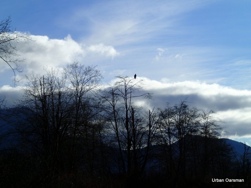
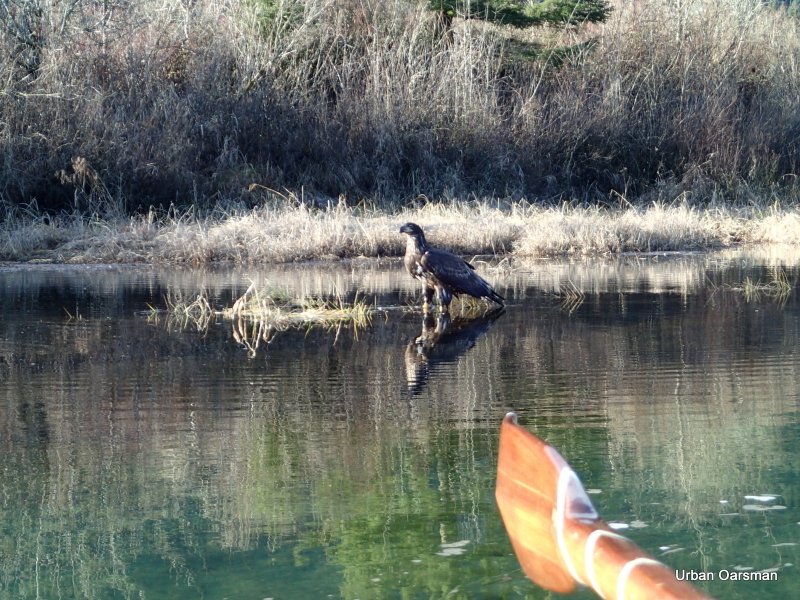
I did not see this eagle until I had rowed past.
With the tide up, the channel is quite wide.
The Creek ahead.
The Creek behind.
There are a lot more evergreen trees ahead. they need a little higher soil to grow.
A higher spot for the evergreens.
The bank to Starboard is higher than the bank to Port.
Another creek enters Widgeon Creek on the Port side.
Widgeon Creek campsite with the Kayak on shore.
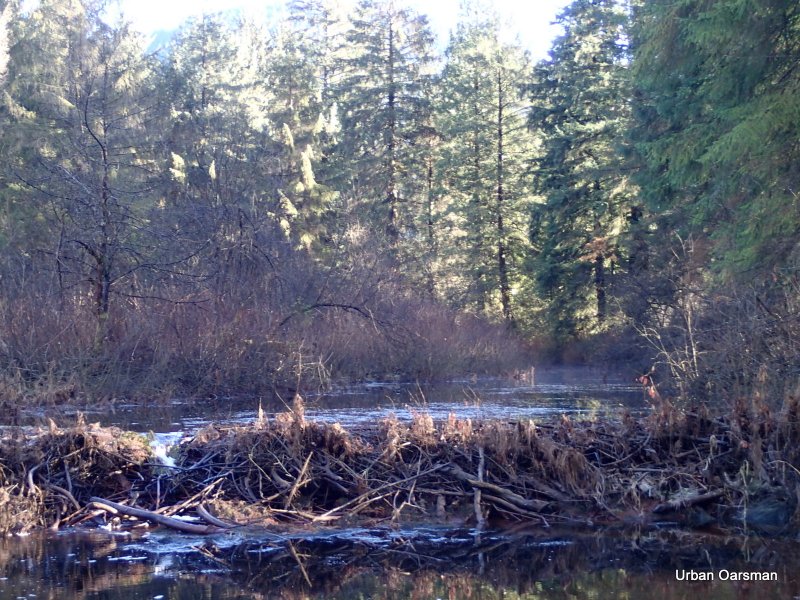
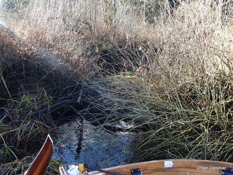
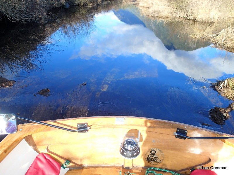
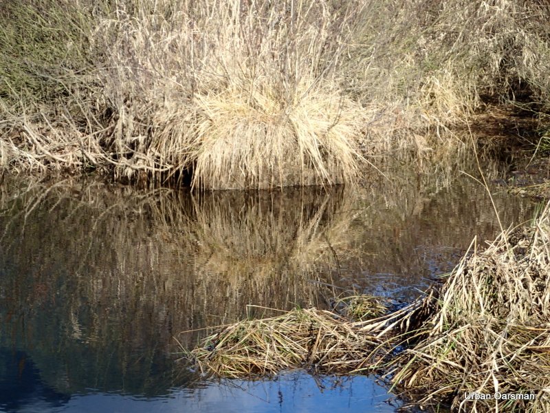
Looking up the side channel at the beaver dam.
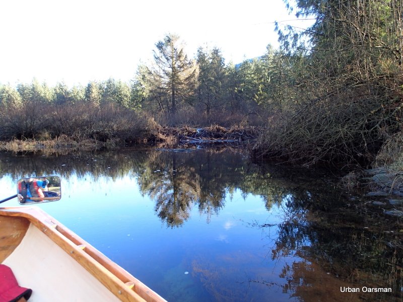
The beaver dam.
An eagle in a tree and on flying by.
Looking to the South-West behind the dam.
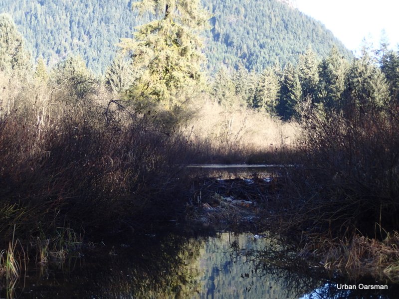
Looking to the North-East behind the dam.
Heading up Widgeon Creek again.
Near the head of the creek, a side channel beckons. Too narrow to navigate. I will try again on the way down.

Upstream in the distance, a startled duck takes flight.
A fallen tree and rapids block the way. This is as far as I made it in my first row up Widgeon.
I beach Gwragedd Annwn and walk upstream to see if I can get around the tree and the shallows.
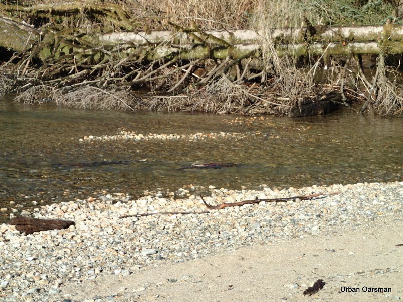
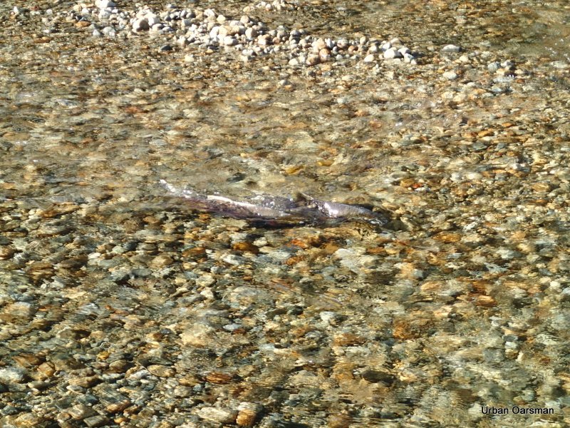
Salmon are spawning in the creek.
A male goes upstream.
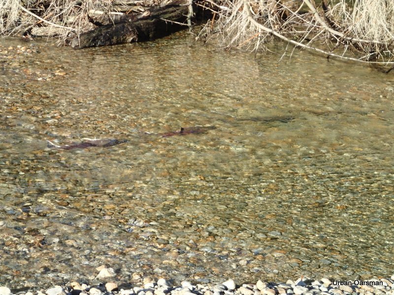
Two more males follow him.
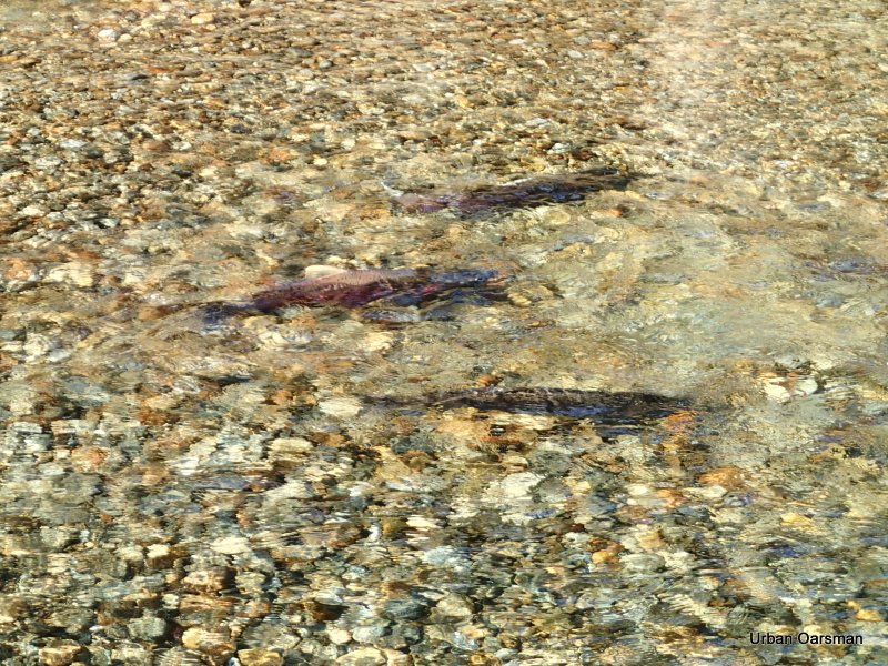
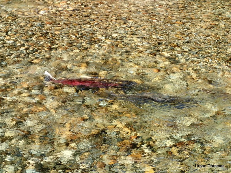
The female is the darker fish at the bottom of the picture. Two males are above her.
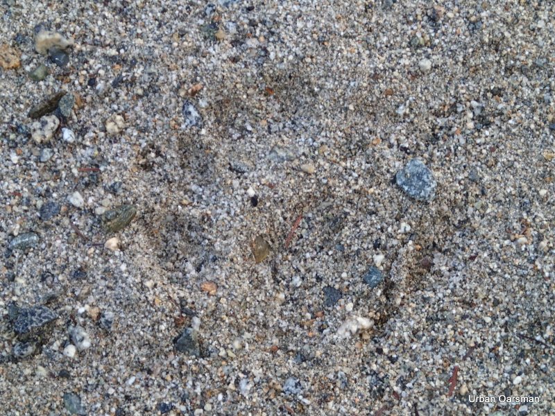
A bear footprint in the sand on the gravel bar.

Another shot of the bear footprints.
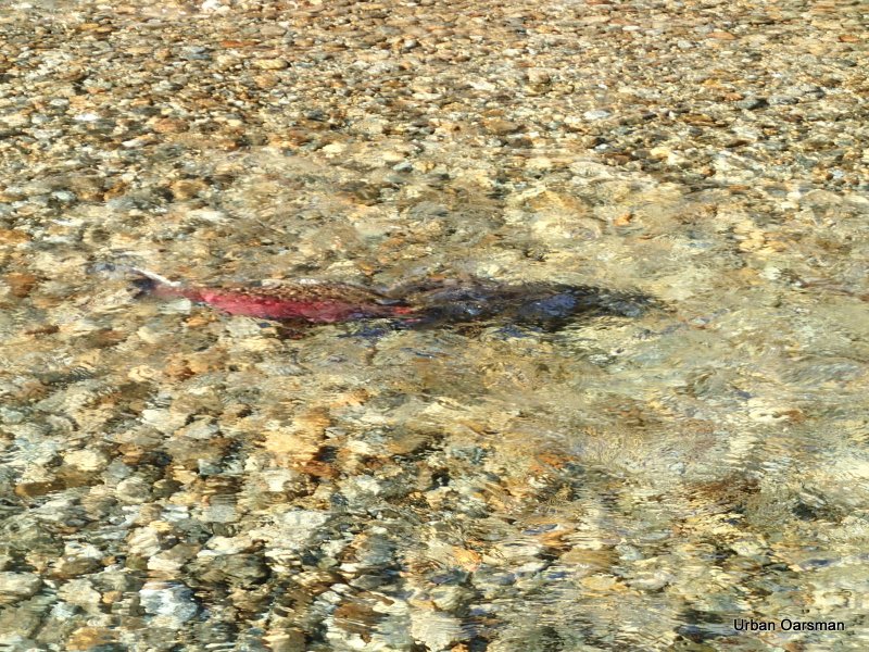
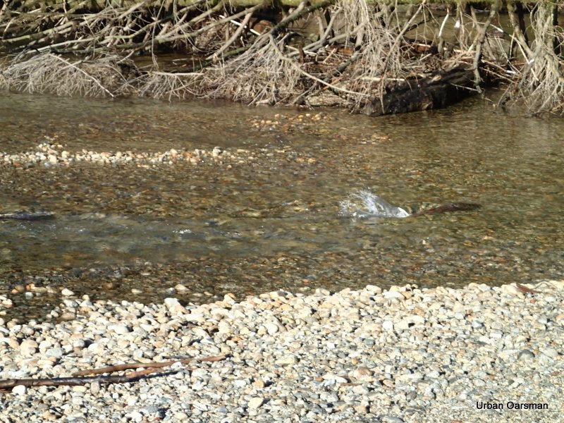
The male (red) and female (dark) salmon.
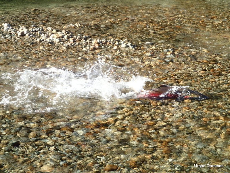
The female, on her side, digging a trough to lay eggs in.
The male and female together.
Another male goes upsteam to the female.
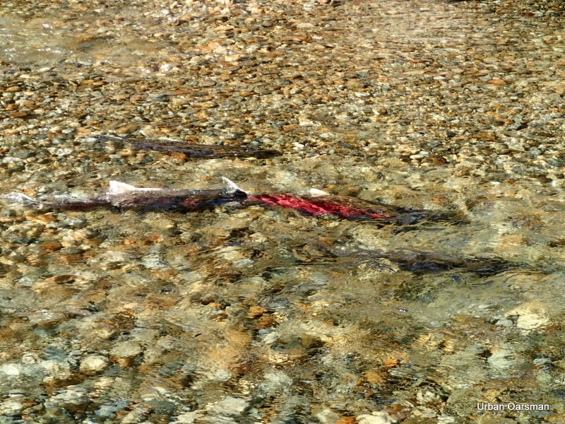
The four salmon I watched for a while. The reddest on was in the best shape and the most active. The two other males were very beaten up. The darker female was looking a little tired too.
This is almost the same picture as I took the first time I rowed here, but, with only Gwragedd Annwn.
I think that this is as far upstream Widgeon Creek that you can row.
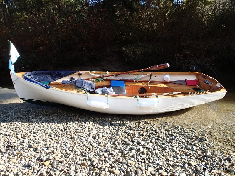
Gwragedd Annwn on the gravel bar at the head of the navigable water.
Rowing away from the gravel bar. I will row backwards down the creek for better visibility.
Looking South-West down Widgeon Creek.
This is the side channel that beckoned on the way up. Still too narrow to navigate.
This is as far as I get without getting out of Gwragedd Annwn and lining (dragging) her through the channel. The banks are too slippery for me to drag her through.
Back in the main stream, I continue back.
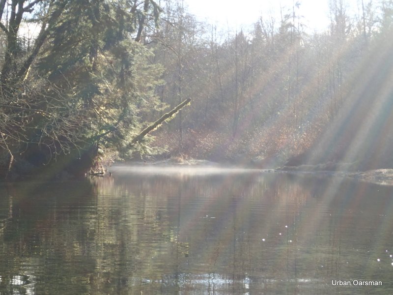
There is still mist in the shadows. With the weather conditions I had, the mist came and went during the row. The main factors seemed to be: The stillness of the air and whether you were in sun or shade.
Passing the campsite on the way back.. The Kayak is gone.
Where a side creek enters.
The water level does not seem to have changed.
I continue down stream.
Behind me, the side stream where I did not get pictures of the salmon going up it.
Smooth rowing ahead.
Another one of the side streams. This one has a beaver dam on it. The dam is only a foot high at this water level, but, would be higher when the tide drops.
Looking out from the beaver dam side channel.
Looking to the South-East from the beaver dam side stream.
Looking North-East from the beaver dam side stream.
Looking due North. Entering one of the Starboard side streams.
The weeds show that the water is flowing out of the side channel.
The channel begins to become too narrow for Gwragedd Annwn.
As far up as I can go. It is hard to see in this picture, but, the current is going out (down) channel.
I row back to the main channel.
Entering the main channel.
Leaving the side channel.
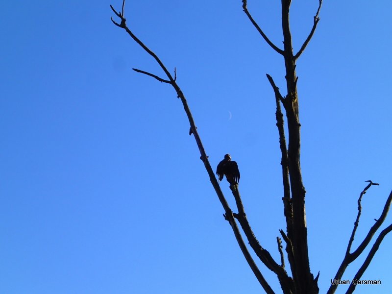
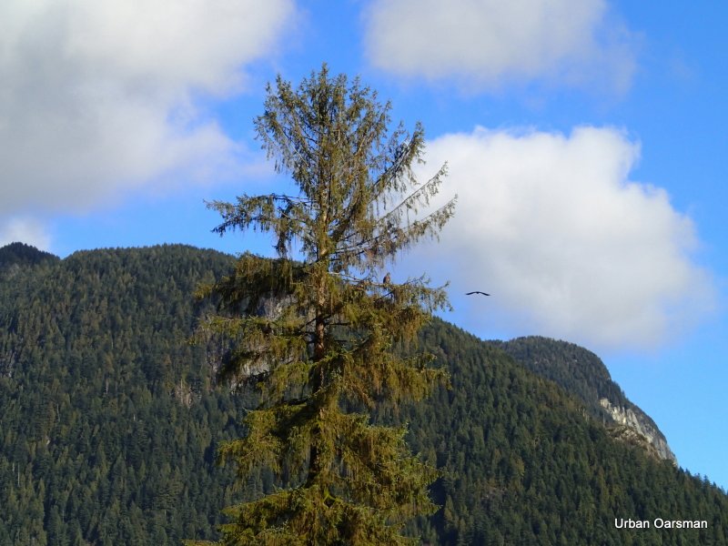
An eagle, with the crescent moon overhead, dries his feathers in the sun.
Same eagle, the sunlit view.
Another side channel to explore. Canoe width. Oh well I will try…
I do not get very far. Too narrow.
Back to Widgeon Creek.
Continuing downstream.
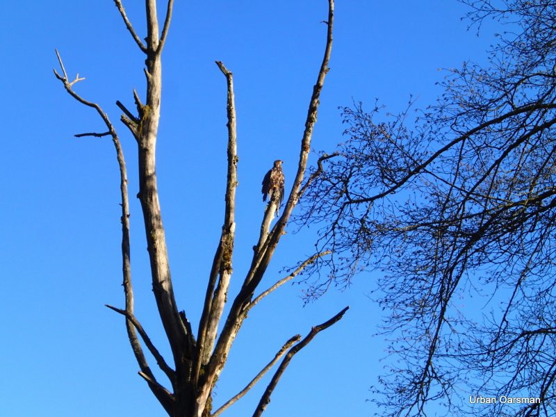
I do not see this juvenile eagle until I am abeam of him. He is not startled by my passing.
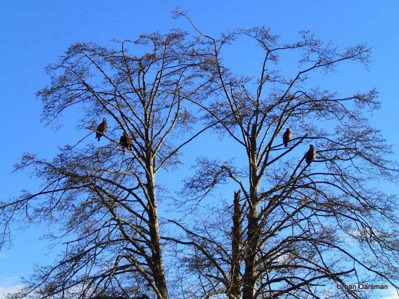
Eagles in a tree. This tree is at the bend in Widgeon Creek at the first fork, on the oppisite bank from where the Widgeon Creek Campsite sign is.

Back to the Depth Gauge piling. The water level only a few inches higher than when I passed going upstream. The current is now going out past the piling.
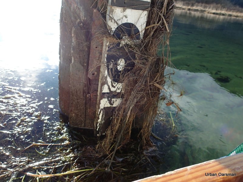
Close-up of the gauge.
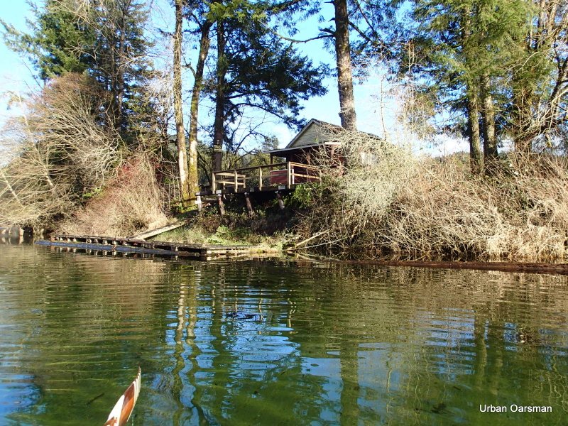
Good-bye “No Trespassing” cabin.
The Depth Gauge piling and the “No Trespassing” cabin are just around the bend to the right.
South view towards Siwash Island.
Two men in a canoe head upstream for an evening paddle.
They have three dogs that follow them from shore.

The stump that is in the middle of the low tide channel.
Checking out a side channel.
The channel does not go very far in.
Back to the main channel.
This side channel heads North-East, but, not very far. I do not think that any of these connect to the first side channel that I took on my way up.
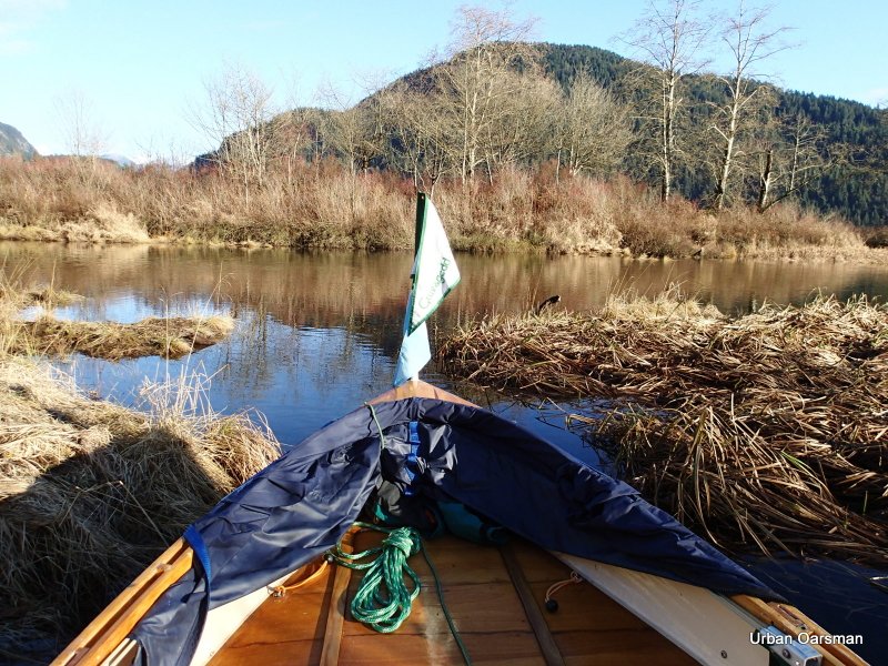
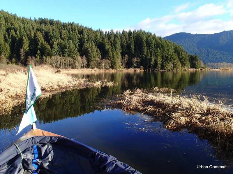
Leaving the estuary behind. At high tide, there is quite a lot of shoreline to explore.
Passing by the “No Power Driven Vessels” sign.
The first non-submerged piling. It does not seem to be any higher or lower in the water.
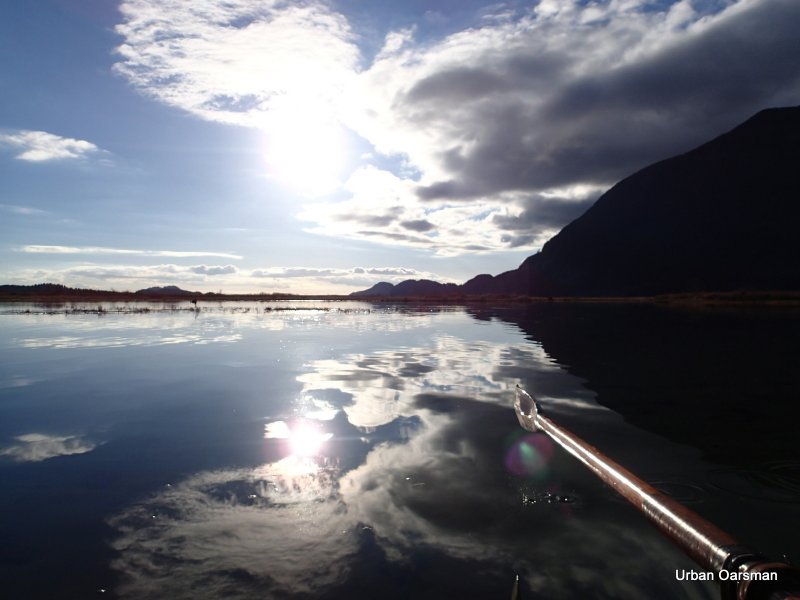
Half-way across Grant Narrows. The current is flowing out (down stream).
When I landed I struck up a conversation with a boater who has a cabin on the lake. He said that there had been cougar sightings in the Widgeon Creek Wildlife area. A local’s dog had been attacked. Maybe those footprints I saw were cougar ones.
There is a slough that he recommended that I row. It is up river from the boat launch, on the North side. He said that locals fly fish there.
He also said that the tide does get higher. I would like to come back then.

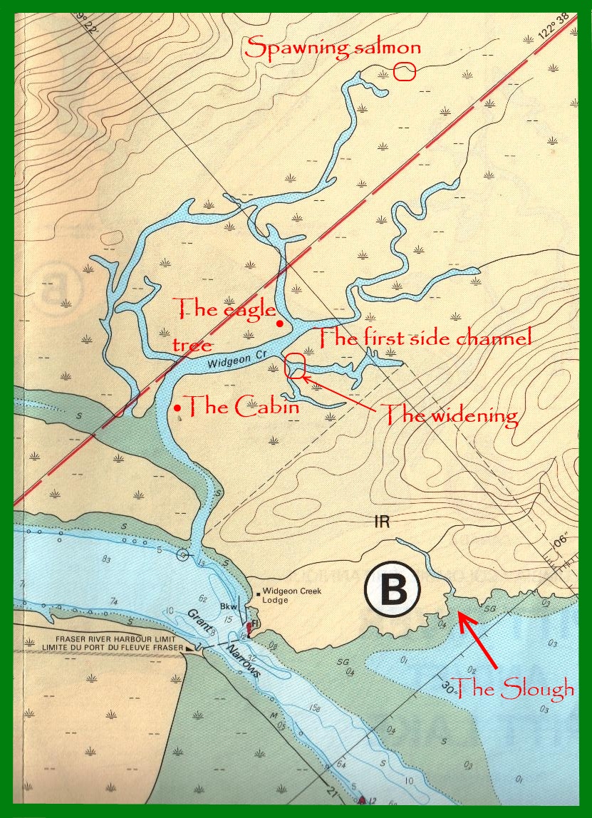
Chart showing some of the places mentioned in the text.
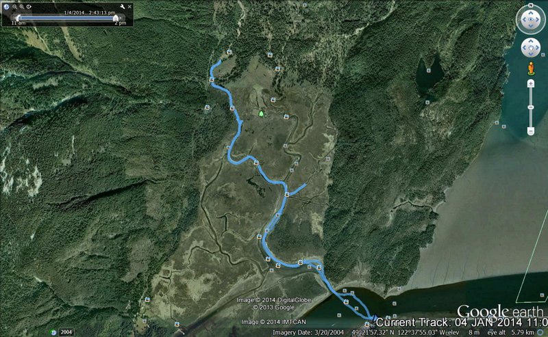 GPS track on Google Earth of the Row.
Widgeon Creek is a great place to row.
Mike
This entry was posted in
Under the Keel..... Bookmark the
permalink.


