The Urban Oarsman. Return to Widgeon Creek, The Right Fork Taken. November 25th, 2013

Monday, November 25th, 2013. I have returned to Widgeon Creek to explore the right fork. In my previous trip here, February 16th, 2013, Oarsman Matt, Thomas and Oarswoman Julie and I explored the left fork, going to the Widgeon Creek Campground. and beyond to the head of Widgeon Creek.
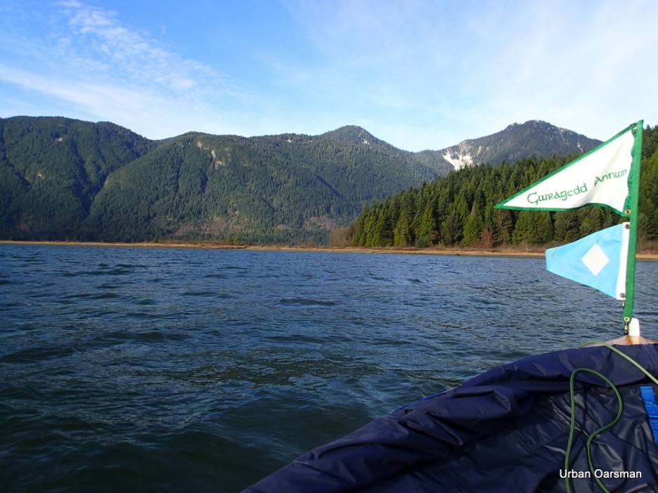
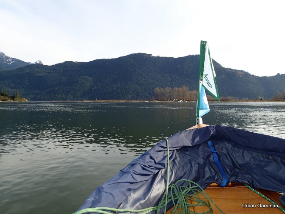
On this trip I am on my own. In this photo, the red flag shows a wind heading out of the valley, down Pitt Lake. The weather forecast is for clear, cold and calm. Even though I did not get any pictures of them, a canoe and a kayak left Grant Narrows ahead of me for Widgeon Creek.

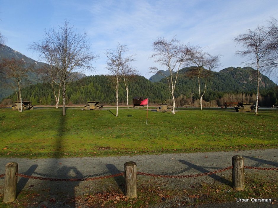
The trailer and two vehicle parking lot is not full. Only the five of us. Clear skies to the South.

The FJ and trailer parked. The fee is $10.00. The machine was broken and I paid the attendant. The fifth vehicle and trailer are in the background.

View from the top of the ramp. Widgeon Creek is .7km. to the West of The Grant Narrows Boat Launching Ramp.
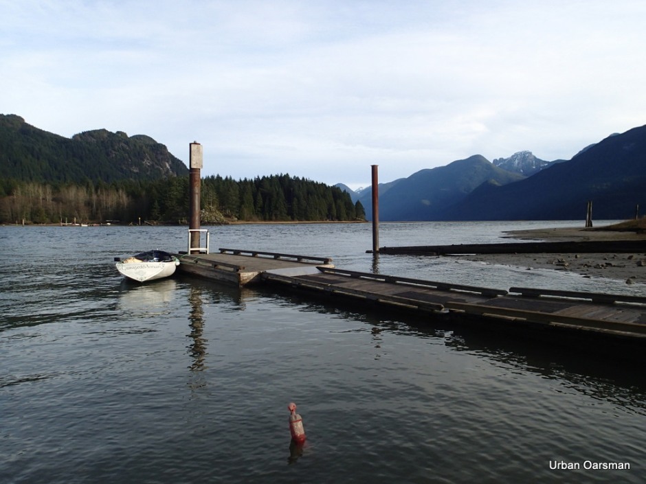
Gwragedd Annwn tied to the float. This view is looking up to Pitt Lake. The tide is high enough so that you do not see the largest actively accreting delta in the world, and Pitt Lake is the second largest fresh water tidal lake in the world. If the tide were lower, the delta would extend West across the picture, from the rocky point across the bottom of the lake to the right of the picture.

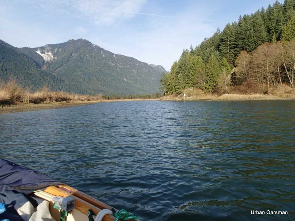
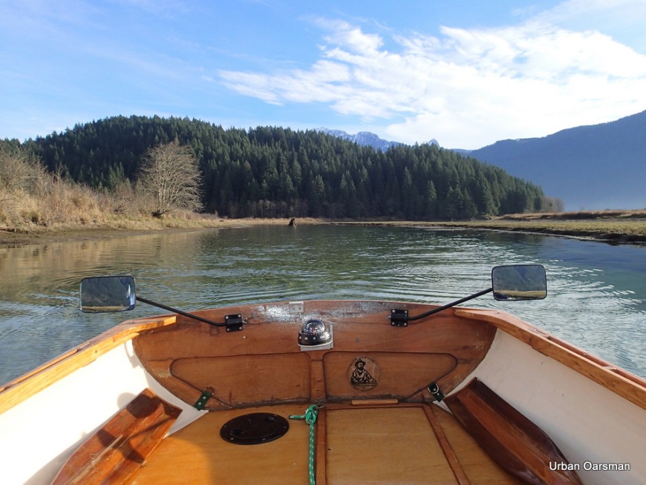
Leaving the Grant Narrows Boat Launch. The current speed is approximately one and one-half knots up river (Rising Tide).
The Tide notes for Widgeon Creek:
Tide was rising at 10:00am when I arrived.
Tide was still rising at 3:00pm when I left.
The rise from 11:00 to 1:00pm was approximately one foot.
High tide at Atkinson was at 11:08am, 4.5 metre, 14.8 feet
High tide at New Westminster was at 12:15pm., 2.9 metre, 9.5 feet.
A good time to go would be four hours after high tide at Point Atkinson or three hours after High Tide at New Westminster, give or take a bit. The levels of flow of both the Fraser and the Pitt effect the tide times.
The entrance lies ahead.

Lesson learnt the hard way. On the North side of the channel, there are shoals. The channel must be entered from the East from out in the river. Rowing along the shore, you only hit shallows.

A Seaplane flies overhead going up river.

Entering Widgeon Slough. The shoals are to the left, behind where the tree stump sticks out of the water. Grant Narrows Boat Launch is directly astern.
Looking up the channel. The first sign is to the right. “No Power Driven Vessels”

Continuing up the channel. It begins to curve to the North. The water is deep in the channel.

At high tide, the channel is very broad. All of the reeds to the South will be covered with two or more feet of water. At this tide, I have to stay in the main channel.
View East. I have to be careful rowing and check my forward course often.

The course ahead. The water is exceptionally clear.
Looking South at Widgeon Slough. This slough separates Siwash Island from the mainland. The slough is only navigable for Gwragedd Annwn at high high tide.

The “No Trespassing” Cabin on the East shore.

The water depth marker by the cabin. When we were here last February, the water was just below the five. There is two feet less water this time. How far will I be able to get with the water so low?
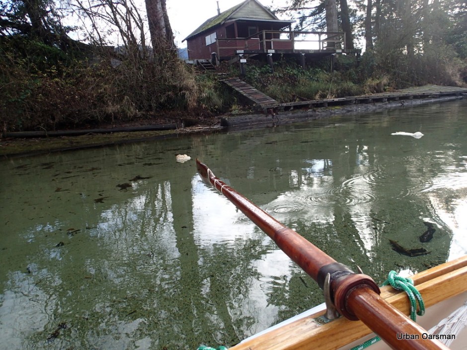
Leaving the cabin behind. Looks like she needs a little work. The white floating stuff is foam.

This is a side channel to the East. There is not enough water to explore it. Gwragedd Annwn grounds out where the channel begins.

If I am really trying to see where I am rowing, I row Gwragedd Annwn backwards. I exercise different muscles, can maintain two knots and see where I am going. Here I am trying to find the deepest channel upstream.
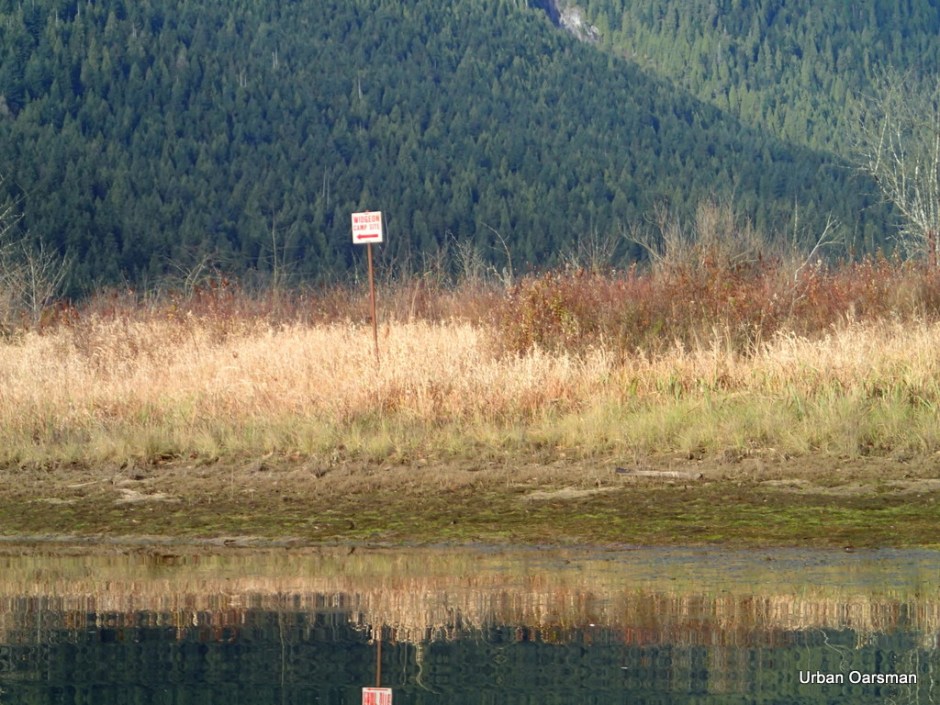
Where the right and left forks meet. The sign points to the left fork and to the Widgeon Creek Campground. I choose the right fork.

The right fork heads North East. I really have to pay attention to staying in the channel. This fork seems to have less than half the flow. Last February the Left channel seemed to be the main one and now, in November, the Left channel still seems to be the main one.

The right fork widens. The oars strike the bottom more often. Less than two feet of water and often less than eighteen inches. The main channel is often less than twenty feet wide. When it narrows more, I am rowing the oars on the banks rather than in the water.

Shallow on the inside curves, deeper on the outside of the bends.

There was a coyote eating salmon remains on the shore where this side stream entered. I could not get any closer to get a better picture. The coyote left until I had gone further upstream.

Lining or walking Gwragedd Annwn up stream. The water here is too shallow to row in but shallow enough to walk in. I am pulling Gwragedd Annwn up the creek. Look how clear the water is.

The shallow stretch where I lined/walked her up.

Gwragedd Annwn coming upstream. The coyote returned to its meal.

Walking upstream.
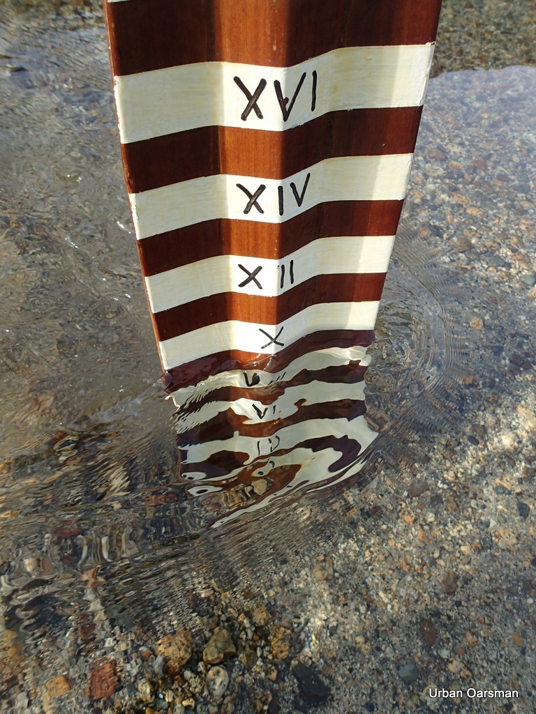
Gwragedd Annwn needs ten (10) inches of water to float in. I pulled her ashore and measured the depth of water where her keel began to leave a rut in the gravel.

Gwragedd Annwn ashore in the shallows. Her keel has left a rut in the gravel.

Is there deeper water ahead?

Deeper water ahead. How far can I go, lining Gwragedd Annwn through the shallows and rowing her through the depths? The tide is rising, perhaps if I wait, the water will rise.

Still deep enough to row upstream.
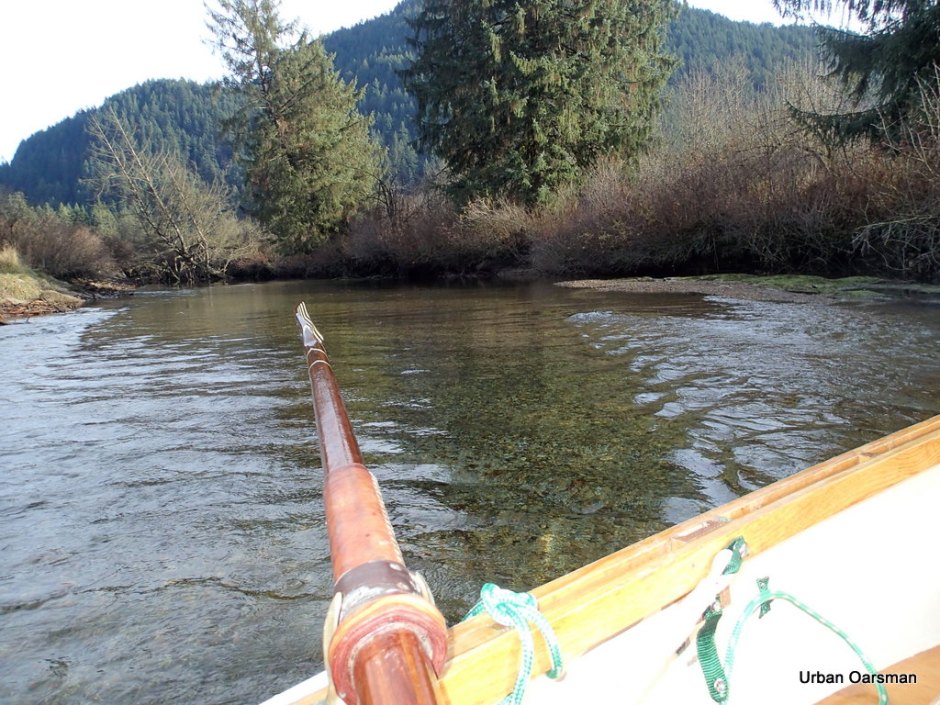
The end of the row. The water is too deep to line Gwragedd Annwn up stream and too fast flowing for me to row any farther upstream. Looking around the bend, the water is flowing fast there too.

The stream is flowing at nearly five (5) knots, faster than I can row in such shallow water. It is less than eighteen (18) inches deep. I cannot get a decent stroke. I need a higher tide or taller boots.

My friend the stump. I plowed into it heading upstream, concentrating more on boat speed than boat course. Fortunately I hit bow-on and Gwragedd Annwn just rode up the stump a little. No Damage to Gwragedd Annwn or to the Stump.

The speed of the current has slowed to one and one-half knots from nearly five knots.
Heading back. It is a little after 1:30pm and the sun sets not much after 4:00pm this time of year.
I will not have time to explore the left fork and still make if back before dark.

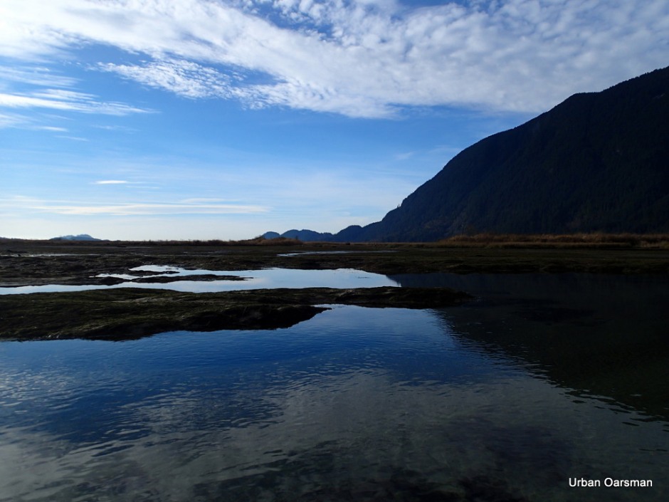
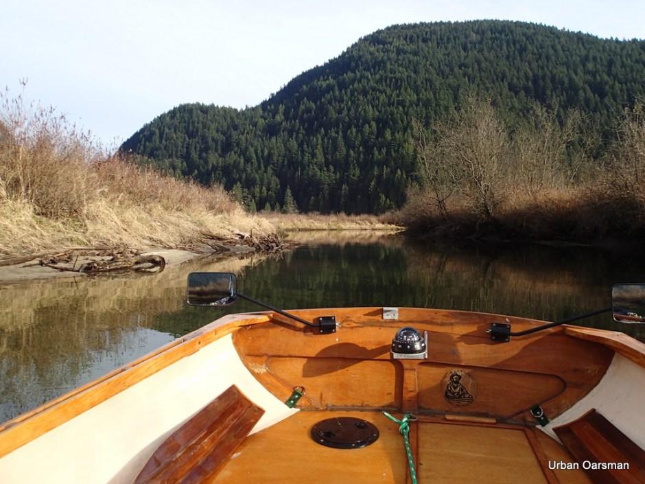
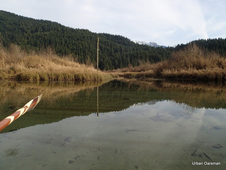
The water is so still that I am amazed with the reflections.

Another reflection picture. I do not believe that these two mountains have names.

Looking North up the Widgeon Creek Valley.

I think that this mountain is Widgeon Peak.
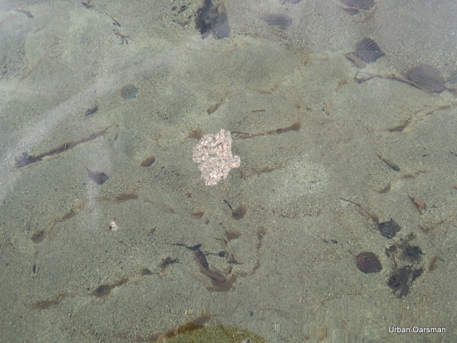
As the tide rises, small islands of sand grains can float away is conditions are calm.

Two Eagles, a juvenile (dark head) and an adult (white head and tail) sit in a tree at the fork.
The first side channel I rowed past has a foot and a half (18 inches) more water. I row up to have a look.

The way is blocked by a fallen tree. One of the problems I have is that with the spread of her oars, Gwragedd Annwn needs a channel almost twenty feet wide for me to row her in. I am contemplating putting a sculling notch into her transom for these channels too narrow to row in.

The depth marker shows almost a foot and a half more water than when I passed by going upstream.

Leaving the “No Trespassing” cabin and float behind.

Widgeon Slough now has enough water to navigate, but, I do not have the time left before dark to circumnavigate Siwash Island.

A final tree reflection picture.

Leaving the Widgeon Creek channel to cross the Pitt River. The tide is still incoming.

The current here is pushing me up river at just under a knot.
Grant Narrows Boat launch, ahead, in the distance.

Approaching the dock. The aluminium boat to the right is now afloat.

Gwragedd Annwn at the dock. Time to get the FJ and the trailer, load her up and take her home.

At the tie-down area, all secure and ready to leave. It is almost 3:00pm. I will be home before dark.

There is a lot to explore at Widgeon Creek. In the future I hope to row in Katzie Marsh, Pitt Marsh, Homilk’um Marsh and Smohk’um Marsh, all accessible from Grant Narrows. I will have to adapt Gwragedd Annwn to be able to row or scull in narrow channels.
Happy rowing,
Mike

