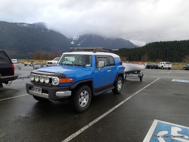
Saturday, February 16, 2013 11:30am. Matt, Julie, Thomas and I leave the Grant Narrows Boat launch and head Northwest to the Widgeon Creek Estuary. The Launch fee at Grant Narrows is $10.00 for trailer boats and free for car-topped boats. The next boat I build will be car-topable!
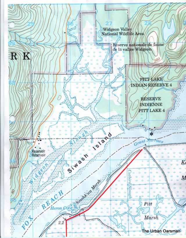
Chart #3062 Pitt River and/et Pitt Lake, 1985, for the Widgeon Creek Estuary. Grant Narrows boat launch at the Bottom, Widgeon Creek Estuary at the top.
I also have a Topo map of the area.
Our plan is to row up Widgeon creek as far as we can go while the tide rises. There are no tide tables for Pitt River, Pitt Lake or Widgeon Creek, but internet sources say that the tide is between three and six hours later than at Point Atkinson or New Westminster.
The high tide at Atkinson is at 9:03, New Westminster is at 10:07. So the tide should be rising until sometime between 12:00 to 3:00pm., giving us up to a five-hour cruise window.
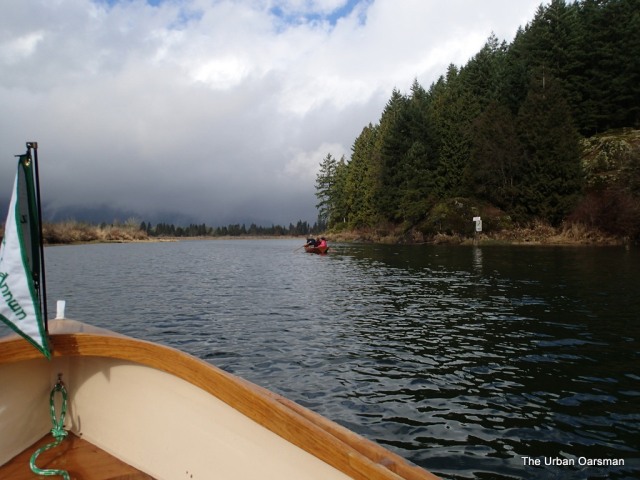
The crossing is quiet and uneventful, hopefully the weather will clear.
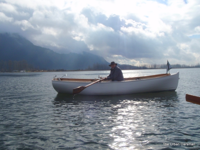
Myself in Gwragedd Annwn.

As we cross Grant Narrows, the current is running at 1.5kts up river into Pitt Lake. We get carried close to Widgeon Creek Lodge. We row towards the entrance to the creek, 1/3 of a nautical mile away. The tide is quite high, and we have lots of water to row in. As we enter the estuary, there is much signage to help us on our way. No power boats are allowed.
There is not a lot of wildlife to be seen. I have not seen any seals or beavers only birds.
An eagle takes flight as we near.
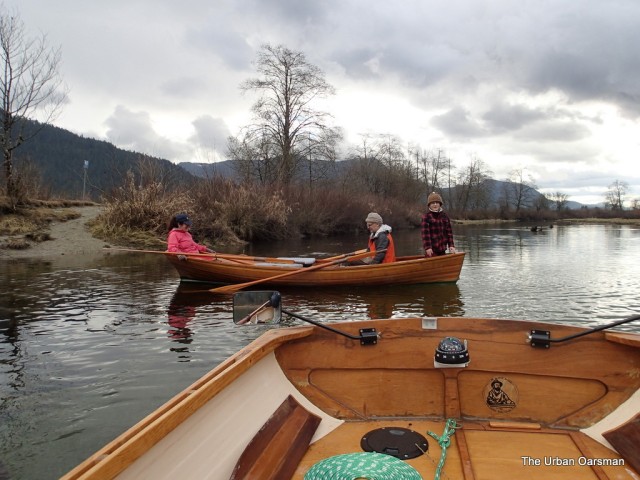
The couple that row together….Matt and Julie show how tandem rowing should be done.
A water depth marker. I think that it is showing 5 feet of depth. On our return trip, the marker again showed five feet. We did indeed ride the tide up and back on this trip.
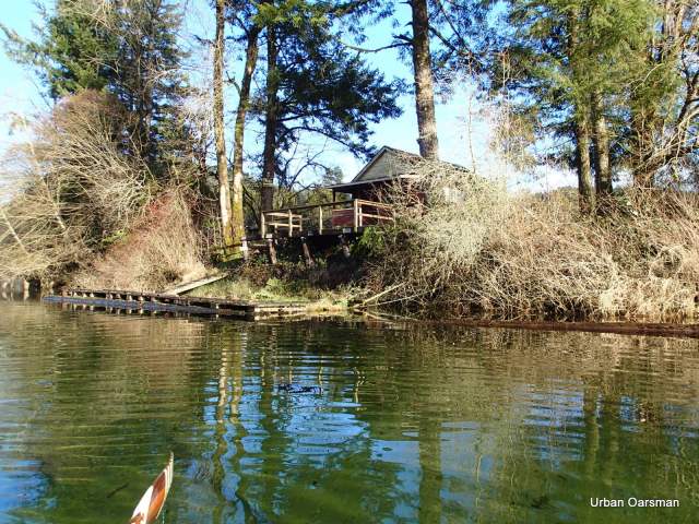
There is an old cabin on the Eastern shore with more no trespassing signs than you can believe. We Respect the privacy of the ghostly cabin and do not stop.
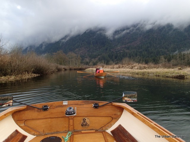
Matt in Full Explorer Mode.
According to our guide book (The Vancouver Paddler, by Glen Stedham, 1990), we are coming to a fork, where if we go into the channel to Starboard, we will go up Widgeon Creek rowing against an increasingly strong current until we feel the full force of Widgeon Creek and can go no further. If we go to port, we will go up a remnant channel to the camp site. There is a sign that points to the campsite channel. We pick the campsite channel, the Starboard one looks too narrow for the spread of our oars.
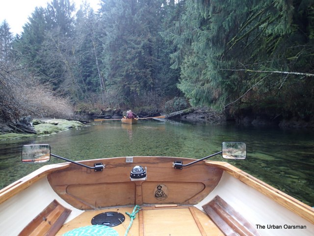
The Port (remnant) channel is still quite wide and we row towards the Campsite. Matt keeps a steady watch.
Rowing up the port remnant channel which surprisingly, has a current to row against. The further up river we get, the clearer the water gets and the stronger the current.
Matt bailing out his boat with his boot after he stepped into a hole while pushing his boat off a shoal. Note more helpful signage to the left on shore. Probably says: “Use caution when pushing your boat off this shoal, deep hole to east of shoal. Hip waders advised”.
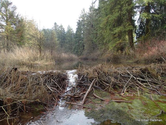
Beaver dam at the head of the port channel, just upstream from the campsite. I have marked this on the chart. The dam is four to five feet high. I was tempted to haul my boat up and over the dam to explore on the other side, but the dam was too steep and slippery.
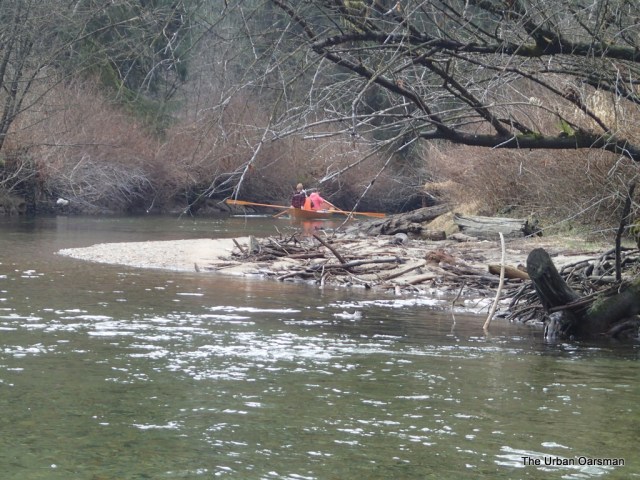
Matt, Julie and Thomas working their way up stream through the shallows.
Our boats on the gravel as far up as you can row. Since the guide book was written (1999) Widgeon Creek has shifted, making the port channel the main one and the Starboard channel the remnant one. The Google Earth Aerial photograph (2004) shows the Starboard channel having the creek flowing into it. I guess the change happened sometime after 2004.
It must be those pesky beaver!
It is 1:45pm and the tide is probably as high as it is going to get. Time to head back. It has taken us two hours fifteen minutes to row 3 nautical miles to get to here. Our average speed up river on this leg of the trip was about 1¼kts. Should be a little faster going downriver.
Heading down the creek, stern first, flowing with the current. The creek is not much wider than the spread of our oars.
Our row down the creek is pleasant and uneventful. No grounding for Matt and crew on the way out. We meet a lone kayaker going up creek. She says that when she crossed the Narrows the tide was still coming in. She asks how far up the creek to the camp site and we tell her that we are about 45 minutes down from it. She heads up the channel to the campground and we continue downstream. When we pass by the depth marker it again shows five feet. I figure that the high tide would have peaked halfway through our trip, around 1:30 or so, making the high 4½ hours after Atkinson and 3½ hours after New Westminster. We row across Grant Narrows with a 2+ knot ebb tide and return to the boat launch around 3:30pm.
We pack up for the hour and a half drive back to HSC.
Where to Next? Deer Lake, Burnaby Lake, Still Creek, Deas Slough, Pitt Polder, Granville Island?