
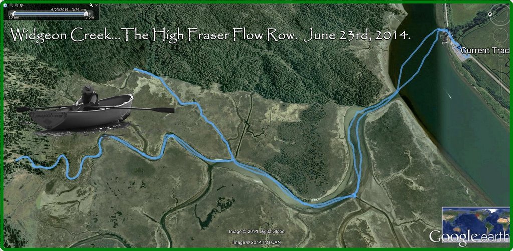
 June 23rd, 2014. According to my Pitt River and/et Pitt Lake Chart, #3062, mid-June has the highest water levels of the year. I am going to check it out.
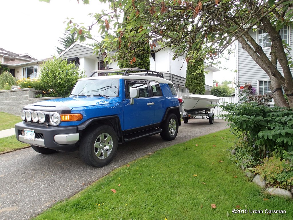 Leaving home with Gwragedd Annwn in tow.
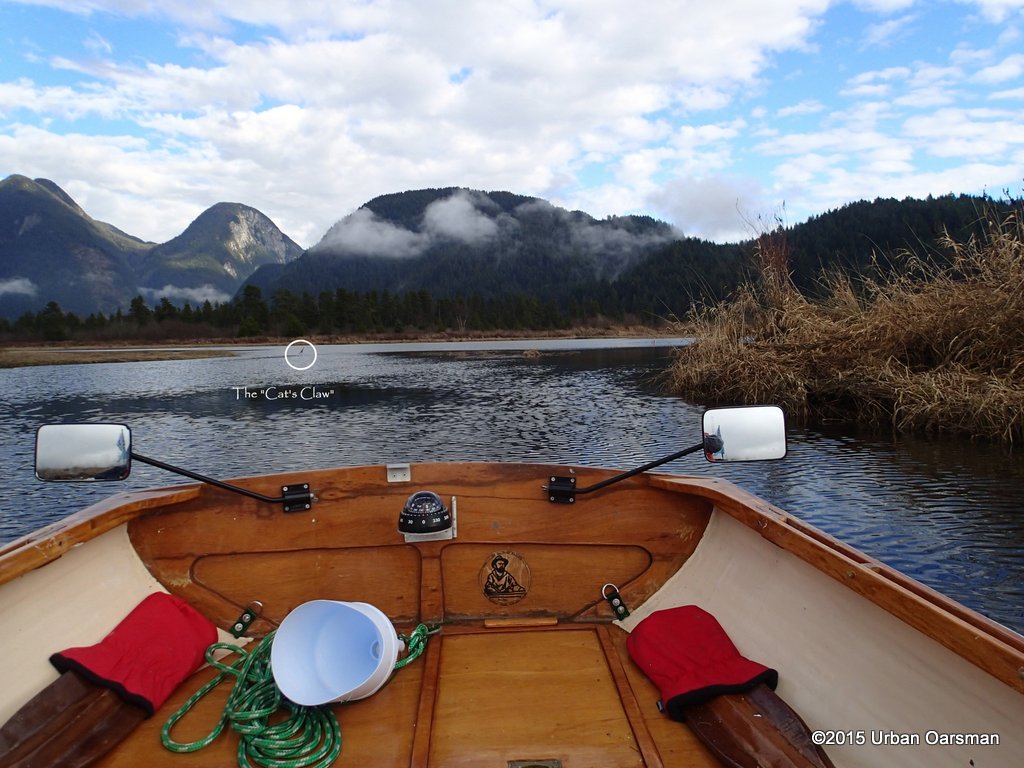
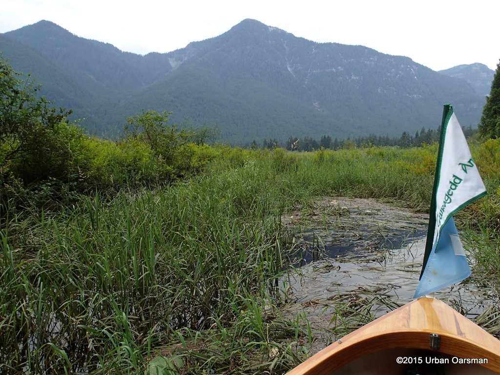
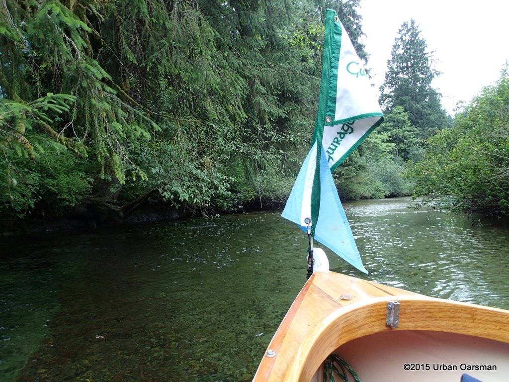
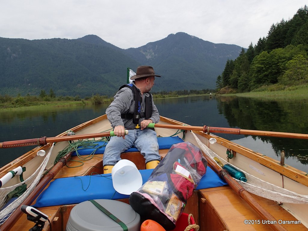 Across the narrows, just entering Widgeon Creek. The water is high. It is calm with high clouds. The “No Power Driven Vessels” sign is in the distance to the right. Most of my gear is visible in this shot, my axe, GPS, gear bag, water bottle, sun glasses, buckets, bailers, and a red fishing float. More about the red float later.
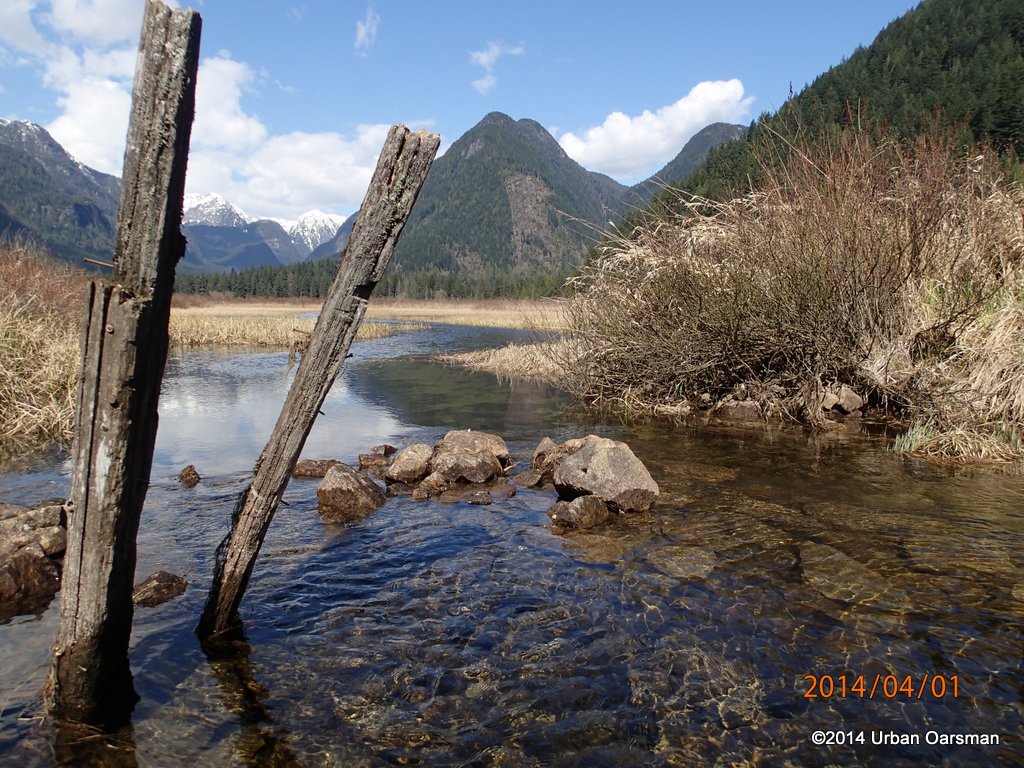
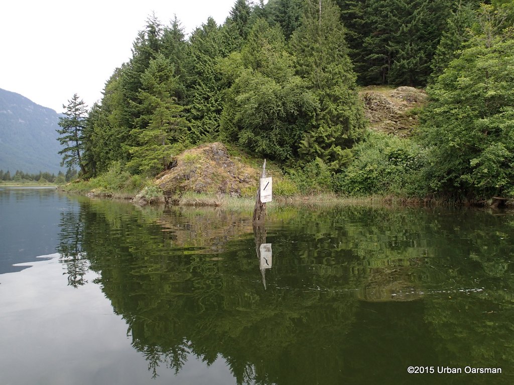 Passing the sign. All of the pilings at the entrance are covered by water.
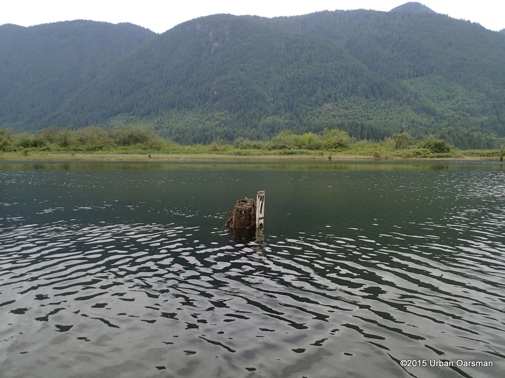
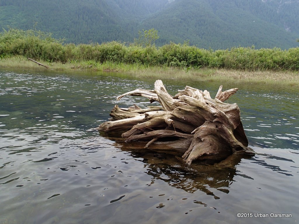
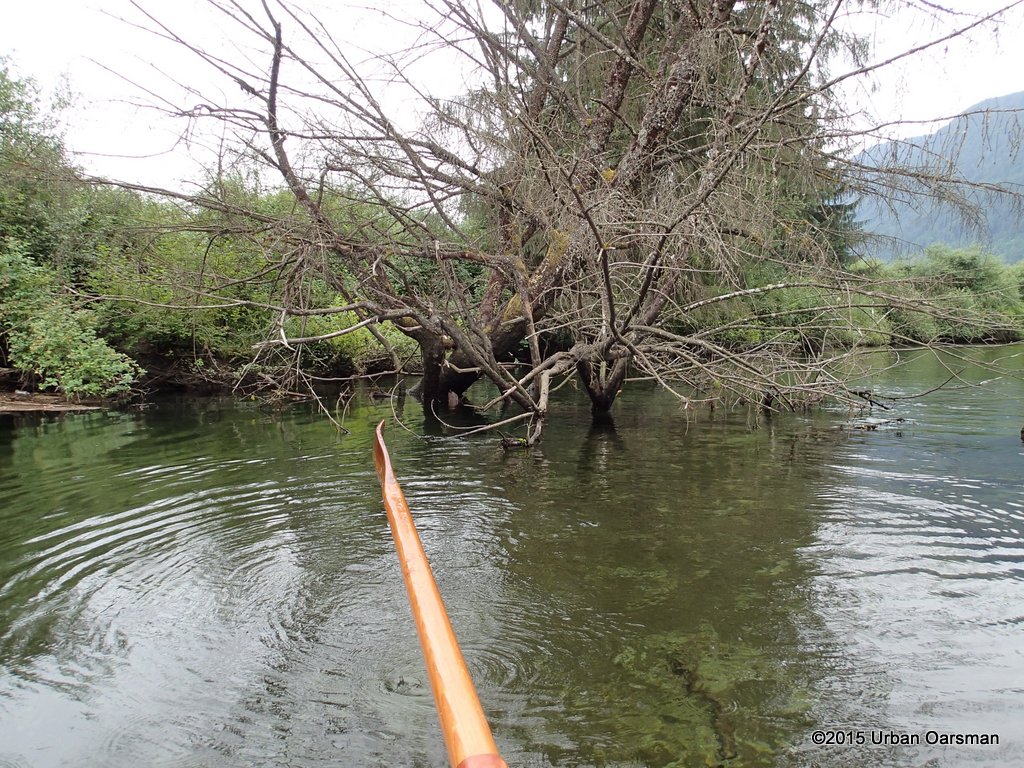
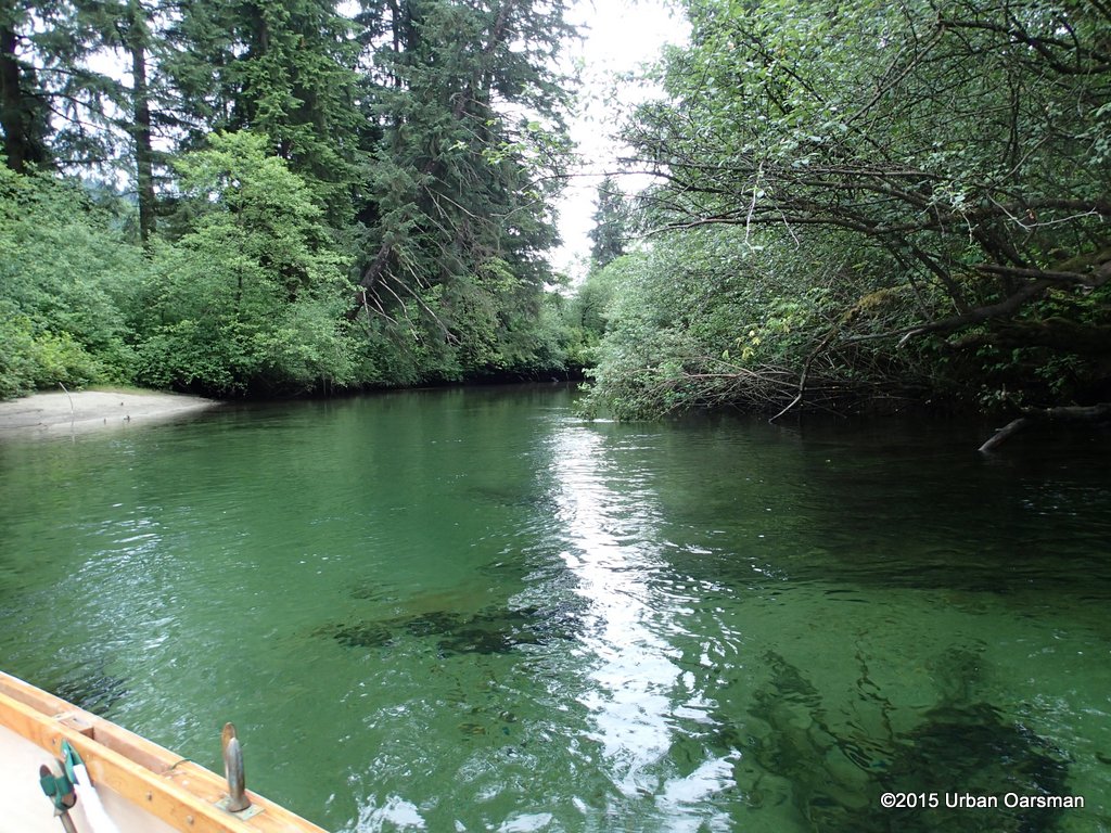
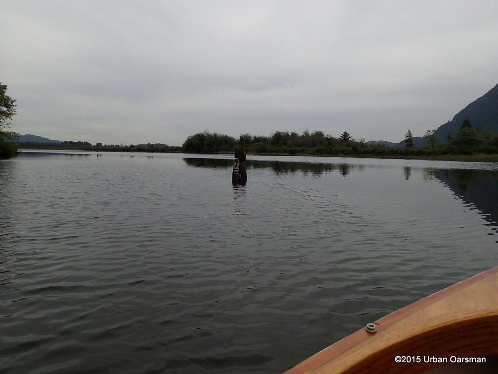
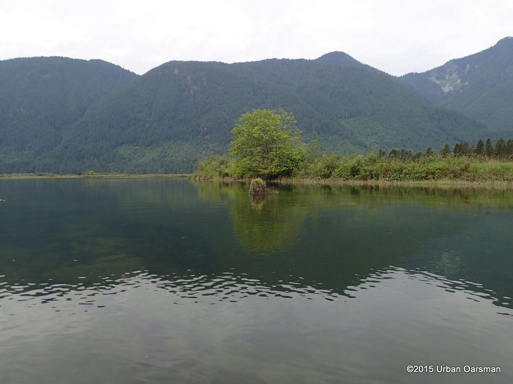 The big stump. I can row anywhere in the estuary, the water is deep enough that I do not have to follow Widgeon Creek’s main channel.
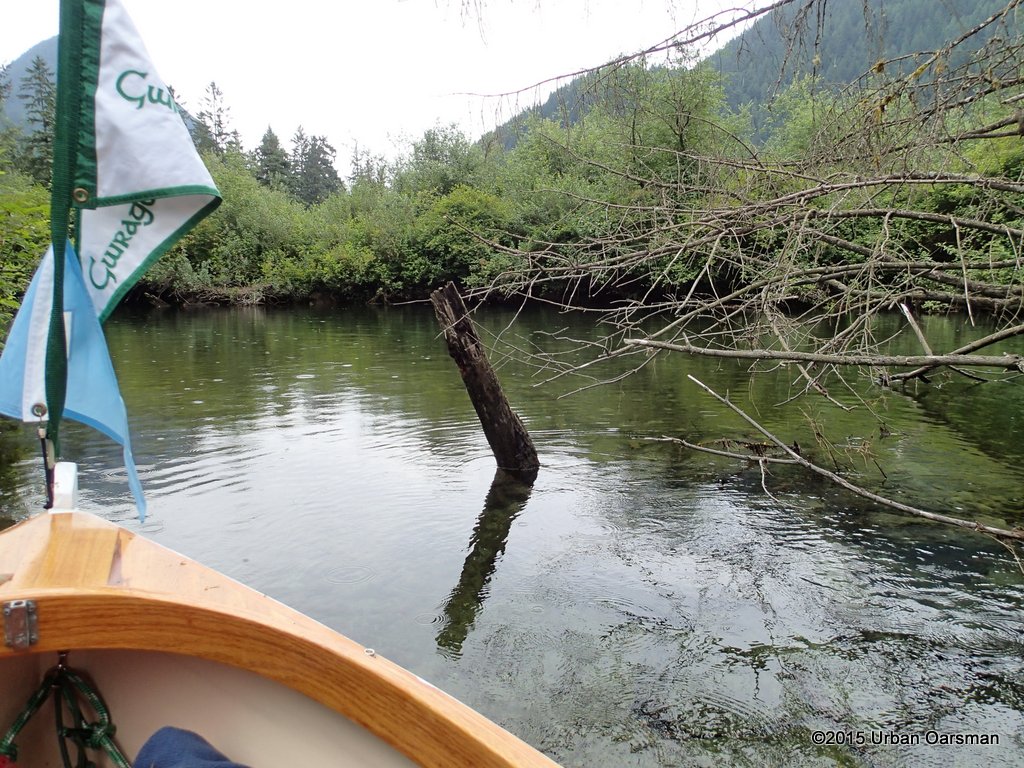
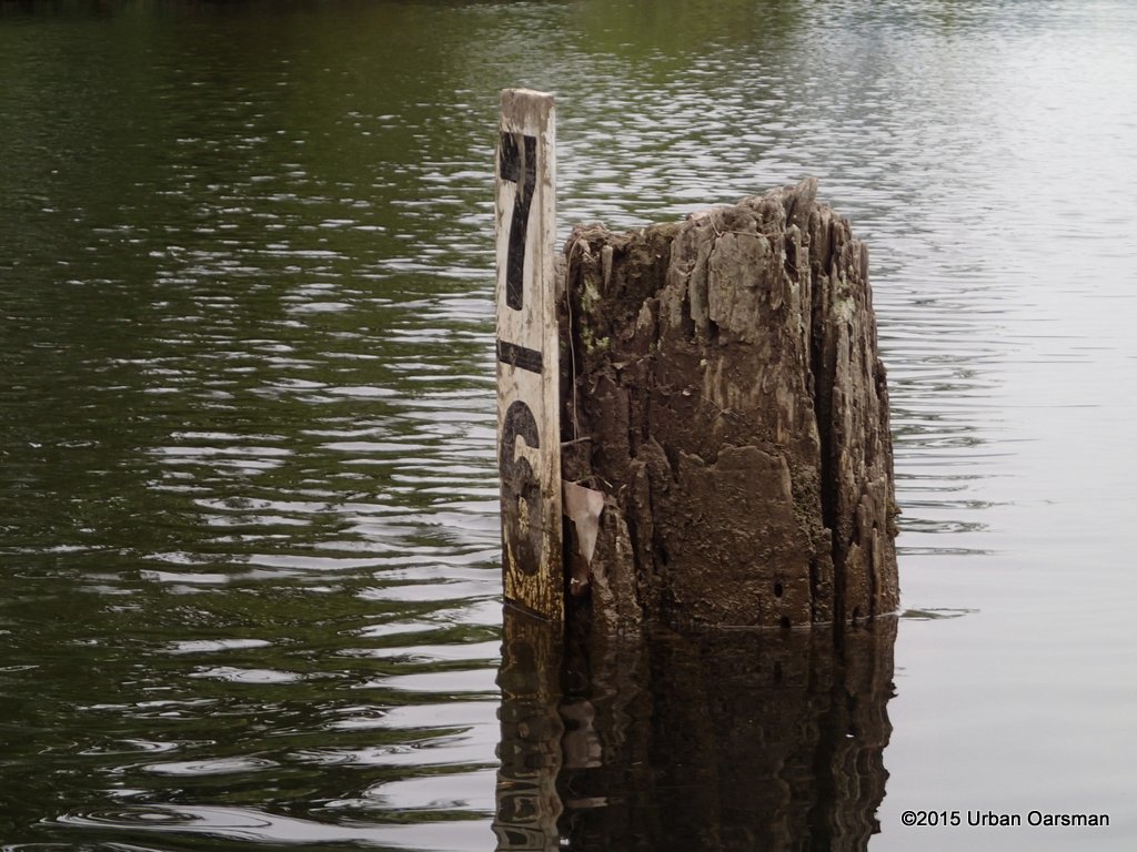
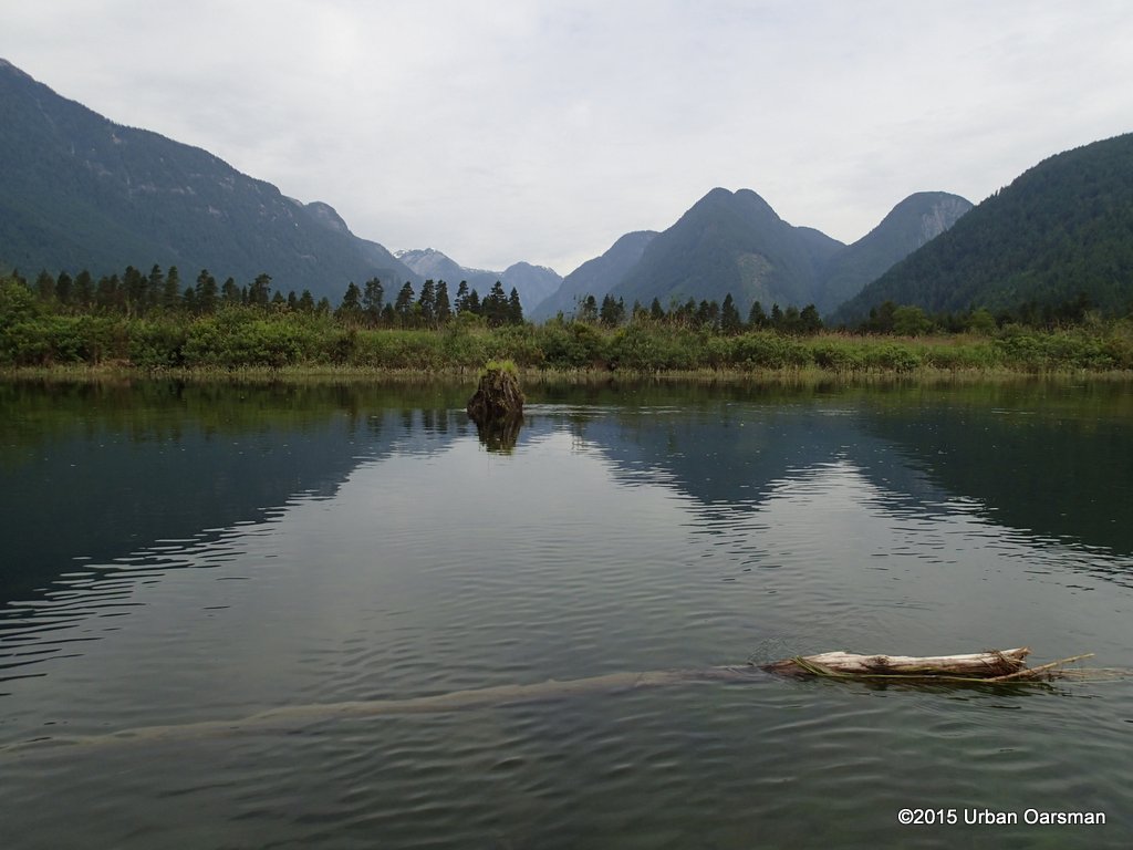 Passing by the stump. I have brought a red float to mark the pipe that I ran into on my Widgeon Creek High Water Row.
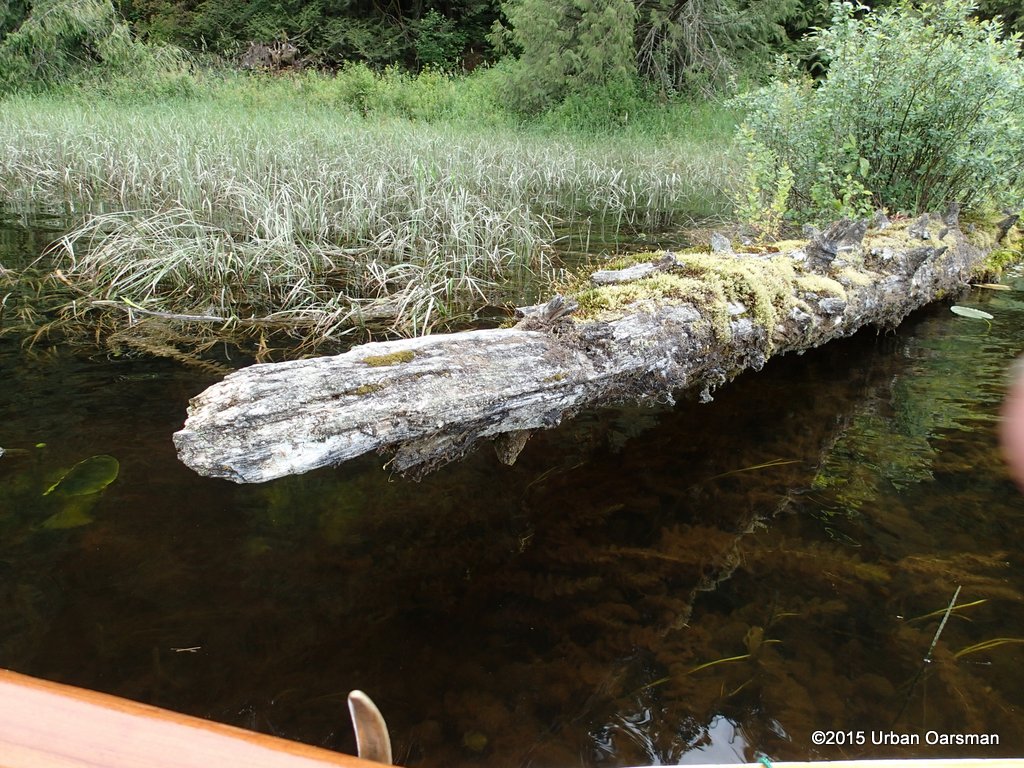
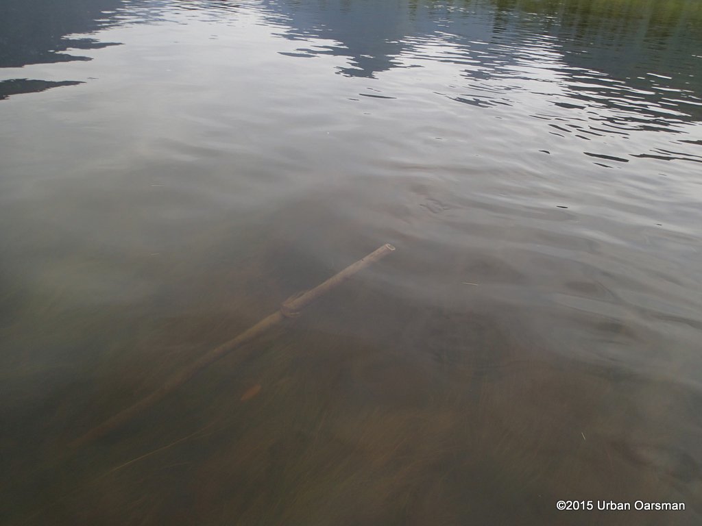 I called this pipe the “Cats Claw” because of the way it scraped Gwragedd Annwn’s hull. It is an old sign post?
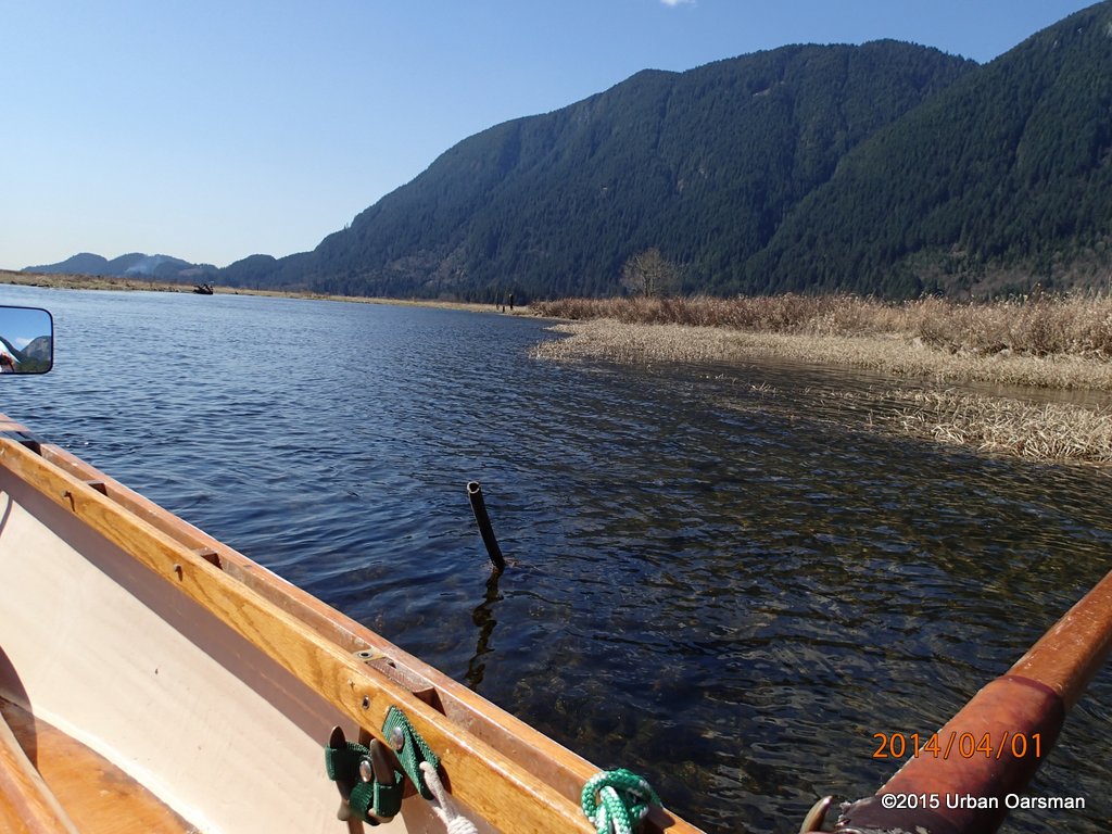 A picture of the pipe after I ran into it back on the Widgeon Creek High Water Row. The water level was about 18″ lower then than now.
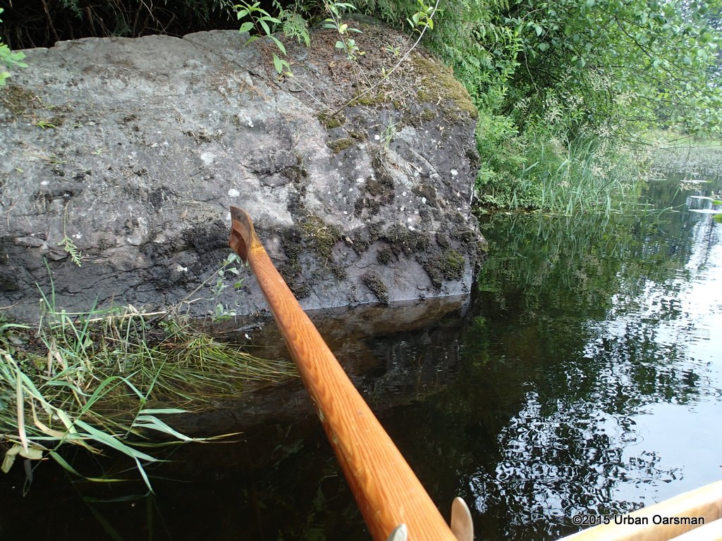
 A picture of the pipe I took during the Siwash Rock Circumnavigation Row. The pipe is located where Widgeon Creek and Widgeon Slough connect.
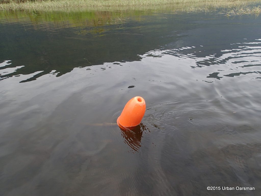
 The pipe circled. I managed to miss it that time.
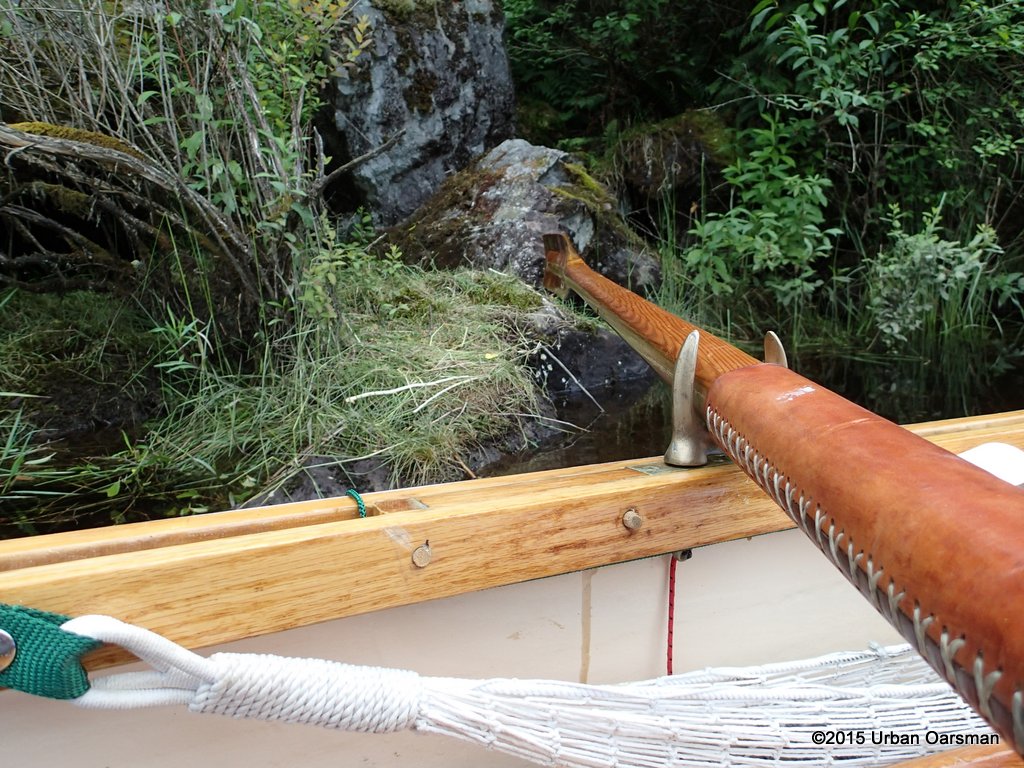
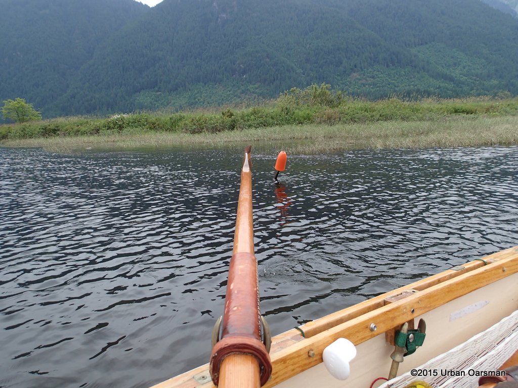
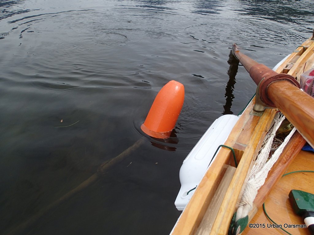 I take the float, put it on the end of the pipe and hammer it home with the axe. The hazard is now marked and if someone should run into it, hopefully the float will prevent damage.
 I drift away with the current, leaving the now-marked hazard astern.
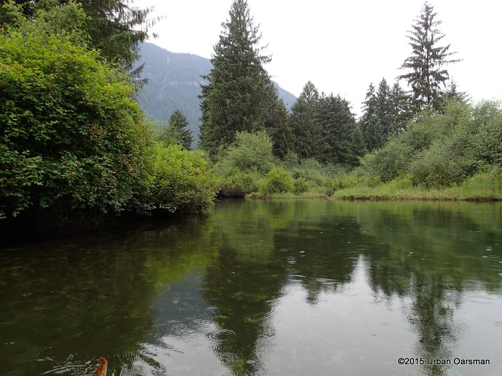
 Well that is done. I am now going to explore one of the right forks past the cabin.
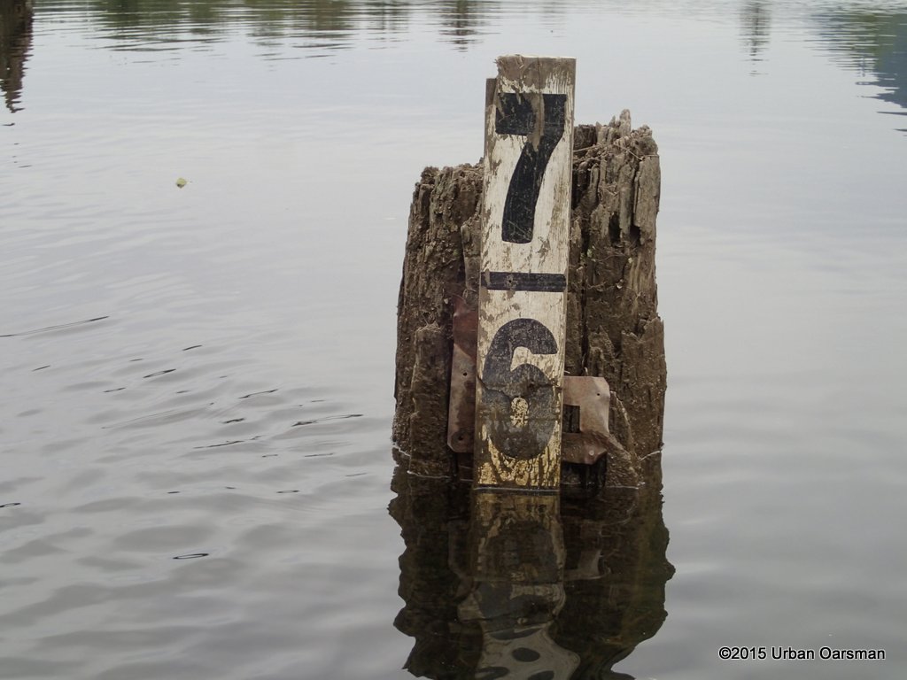
 The depth guage shows over 6½ feet of water. This is record high for me.
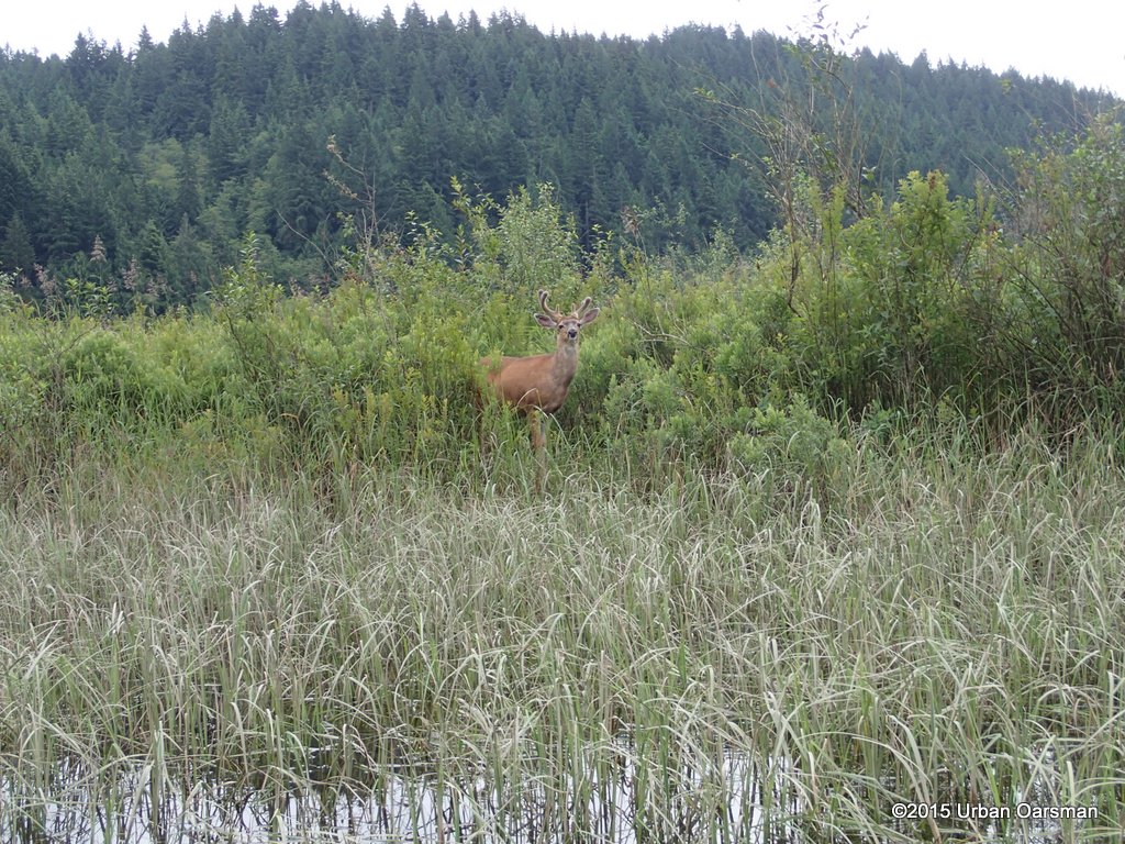 A Three pointer on the shore. This is the first time I have seen a deer here.
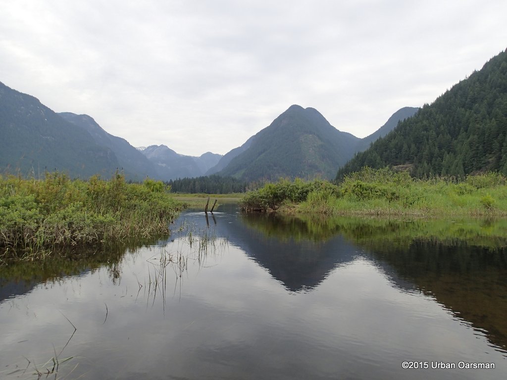 I work my way up the right arm leading to the North-East. The “Gate” looks to be fully submerged.
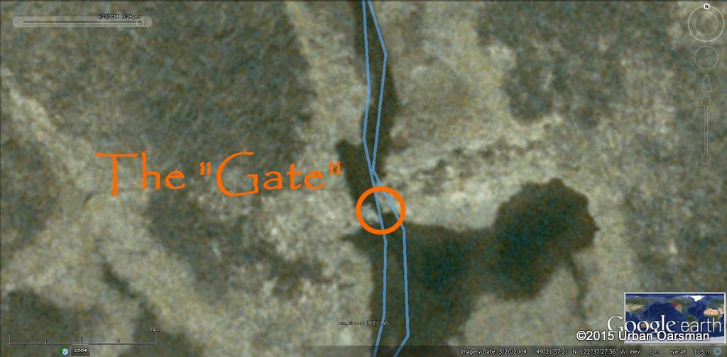 Close-up Google Earth Picture of the “Gate”.
 This is what the “Gate” looks like with lower water. I took this picture during the Widgeon Creek High Water Row. Then there was enough water to slip by to the right of the rocks. Today there is 18″ to 24″ more water. I row right over the rocks and continue up the channel.
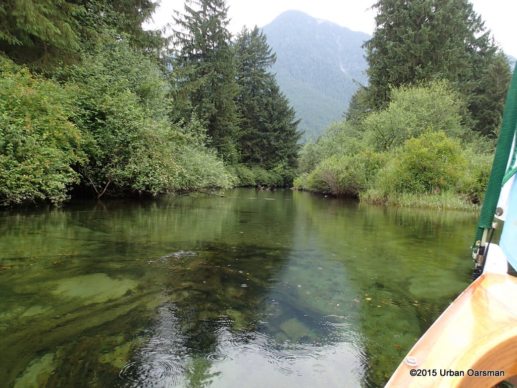
 The channel runs to the North-East to the edge of the hill. It then continues to the North, running along the rockface. There are a few logs to work around.
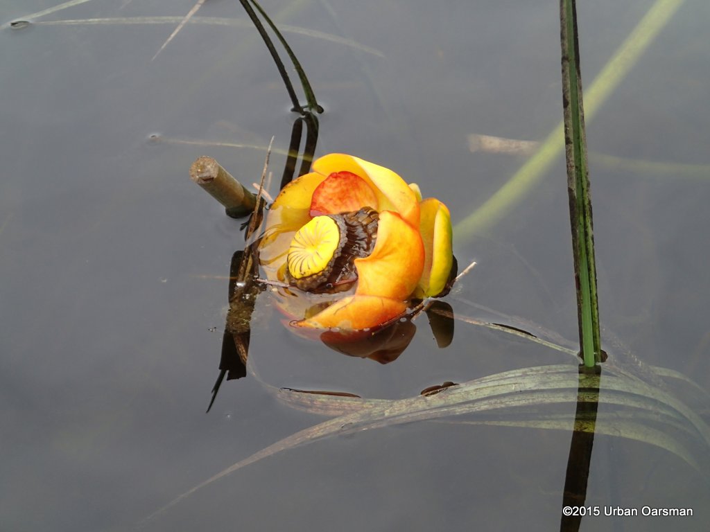 An Indian pond lily, Nuphar polysepala. There were quite a few along this shore.
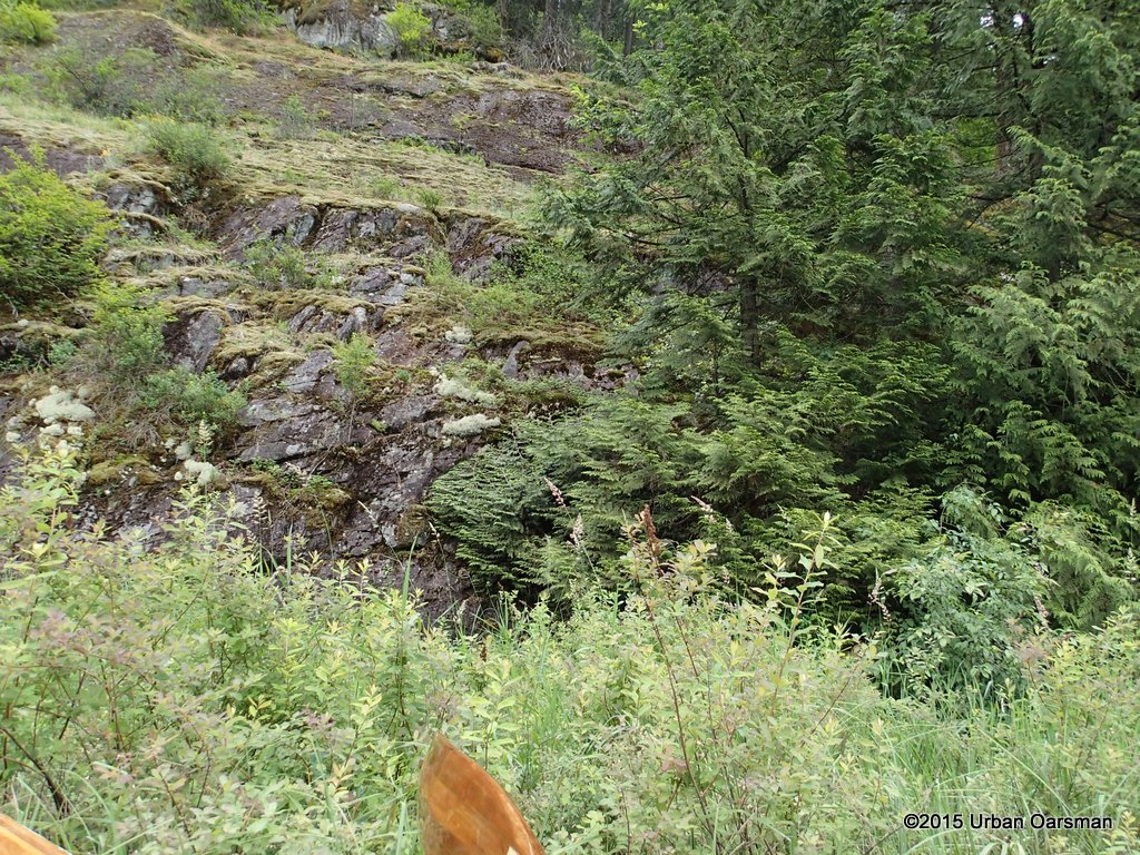 The rockface along the far East side shore.
 The channel turns to the West, and I cannot push on much further. It is too overgrown.
 Working my way back along the East shore.
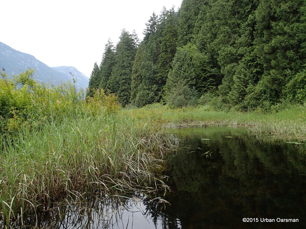 Some open water along the East side.
 The water mark showes about a 12″ drop. I wonder when the water level was at its highest? I row back out to the Right Fork of Widgeon Creek. I am going to row up the creek, following the current to its source.
 Root Stump in the middle of the creek.
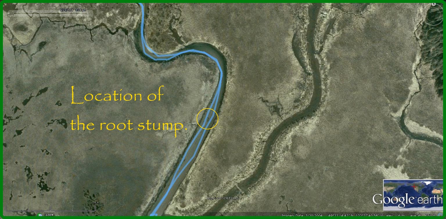 Google Earth picture of where the root stump is.
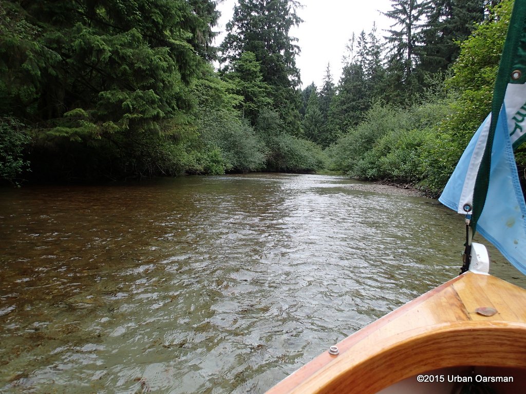
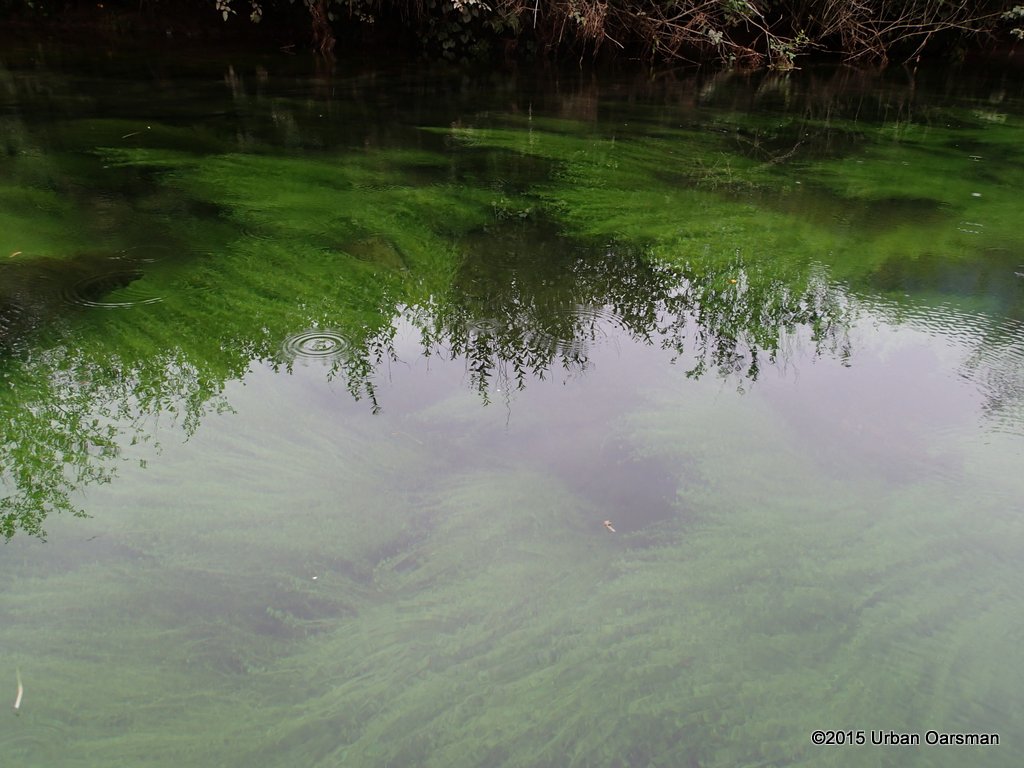 There is much water weed in the bends of the creek here. The water is very clear too.
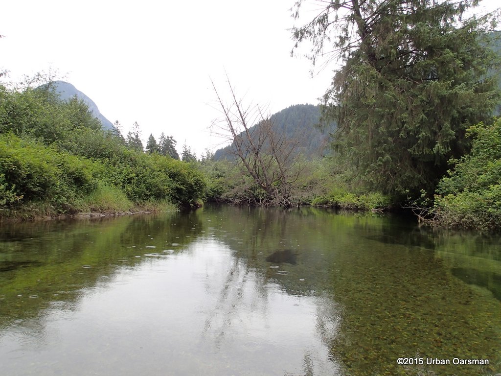 Another dead tree to work around? Trees across the creek have stopped me before.
 There is enough room for me to get past.
 It has started to rain. There is a small side channel to Port.
 The side channel does not go very far. I row up the main channel to Starboard.
 The main channel does not row very far. This is as far up as I get. The current is too strong to row against, the water is too shallow to row in but the water is too deep for me to line Gwraged Annwn further upstream. I need to get higher topped sailing boots!
 I work my way downstream, rowing backwards.
 I am trying to stay in the deeper water in the bends, but away from the banks and the tree branches.
 I let the current carry me downstream.
 I manage to avoid the stumps & snags on this trip downstream. The rain is easing up.
 The depth guage piling downstream of the cabin.
 The water level has dropped.
 About 8″ during the row.
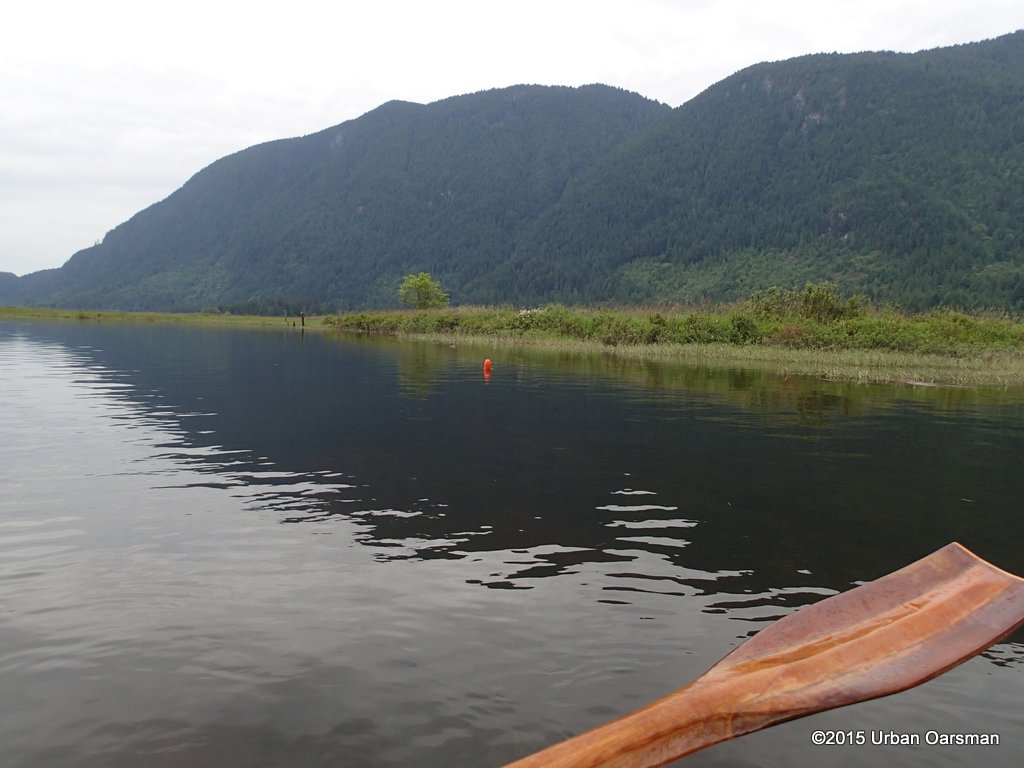
 The post, now marked with a orange/red float, is more out of the water too.
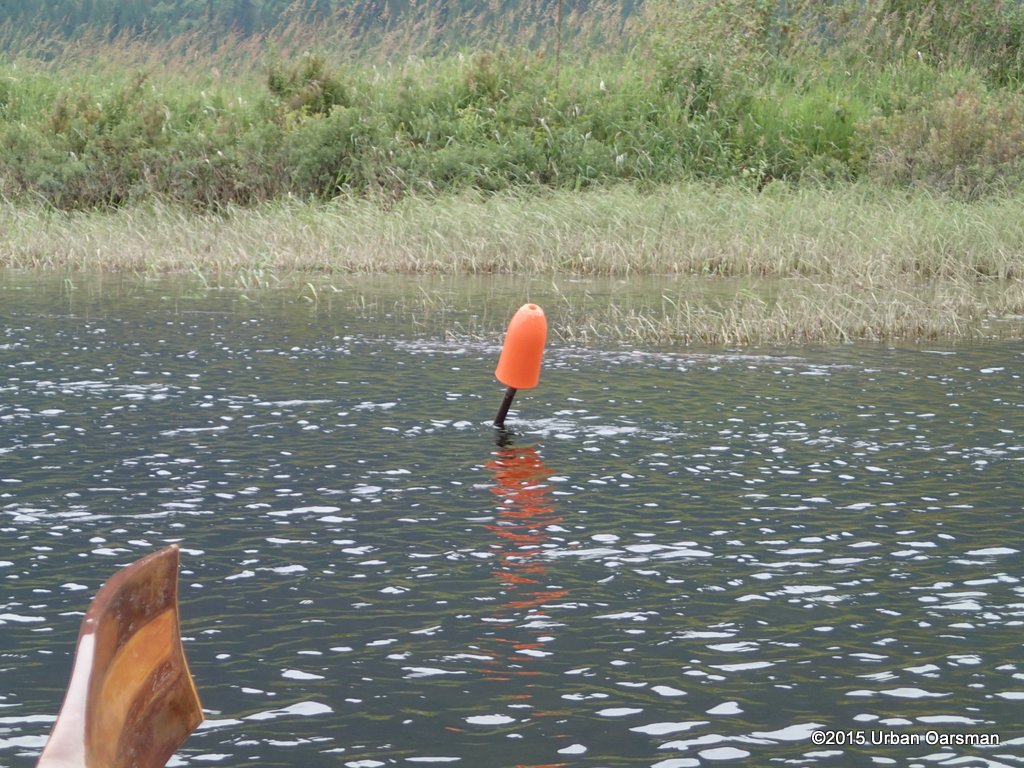 Much easier to avoid!
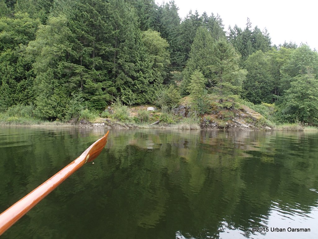 I row out of Widgeon Creek and across Grant Narrows. I load up Gwragedd Annwn for the ride home. It was a good row.
Widgeon Creek is a good place to row.
