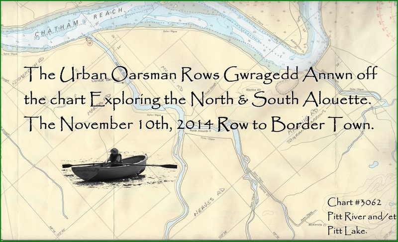
 I row 20.75 kilometers up the Alouette, North Alouette, and Blaney Creek to the movie set “Bordertown”.
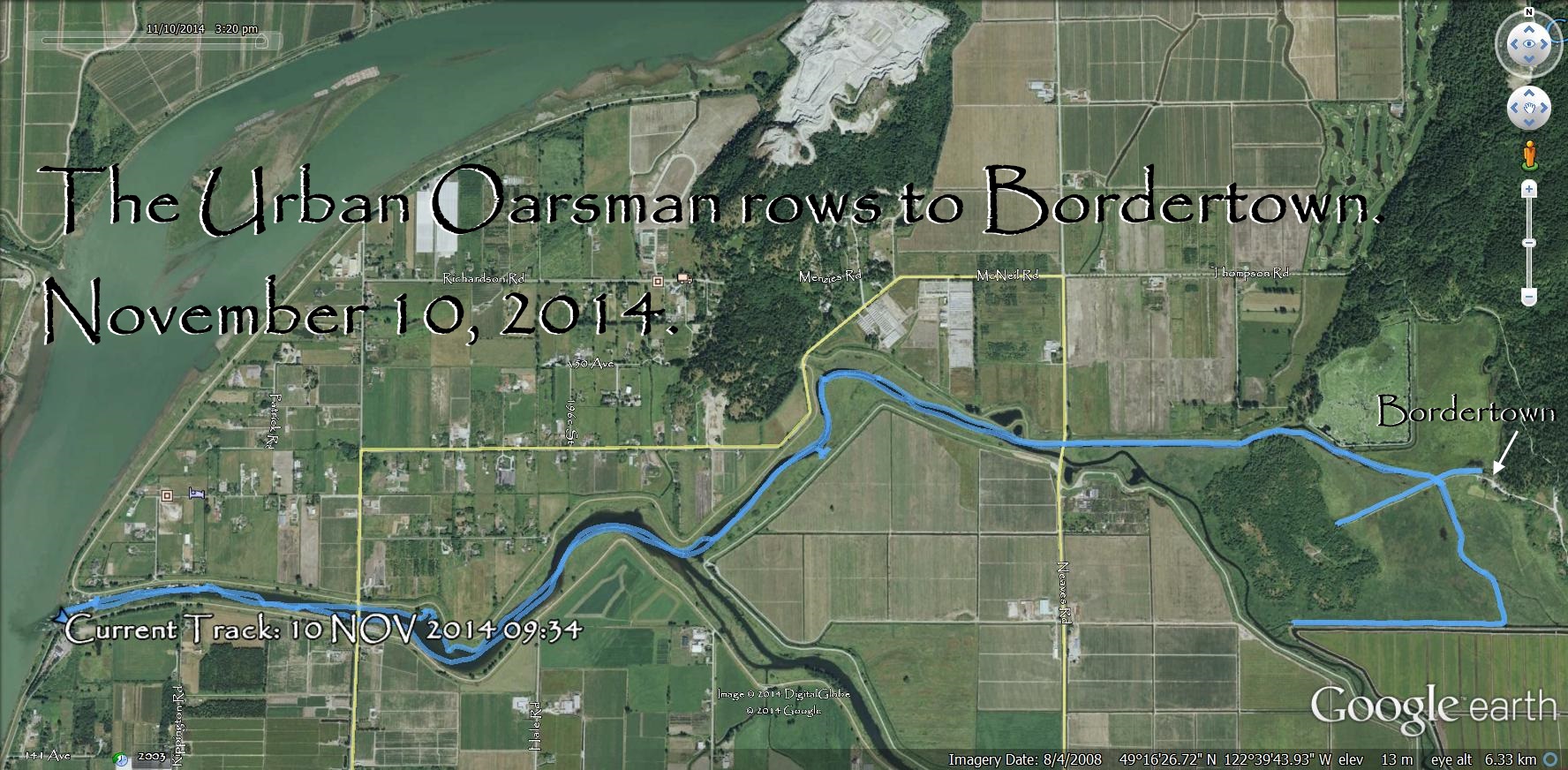 I spend almost 6 hours at the thwart, averaging a little over 3.5 km/hr.
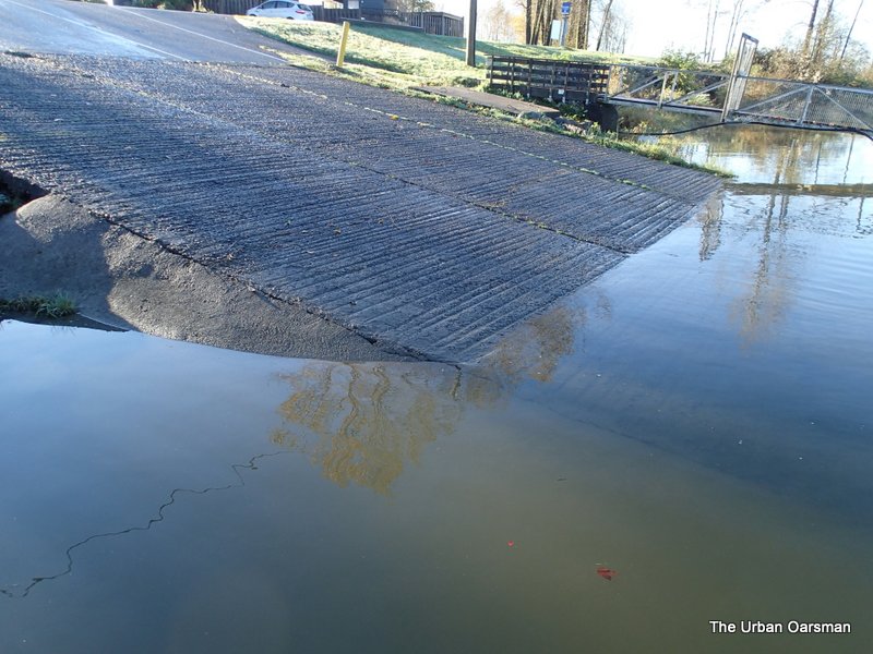 The water level at the ramp looks high, should be a good row.
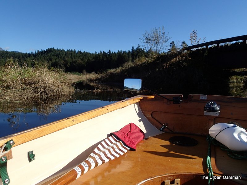
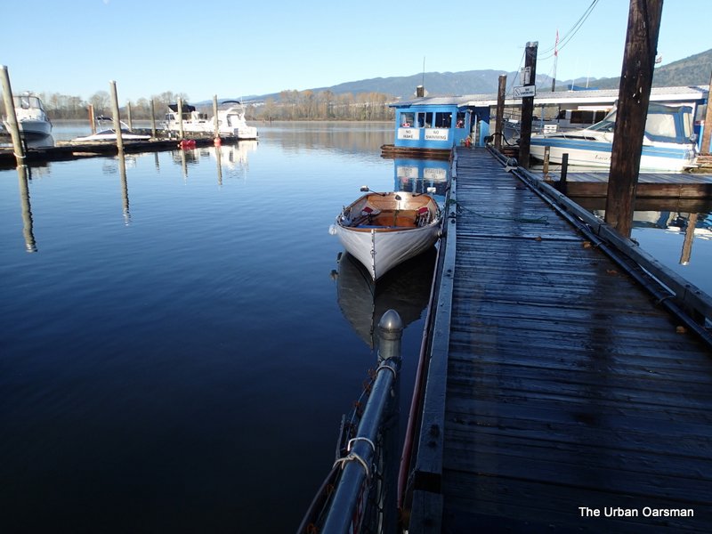 Gwragedd Annwn awaits me at the dock. The dock is wet as we “slip” away.
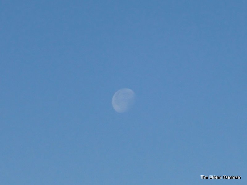 The moon is still visible to the West.
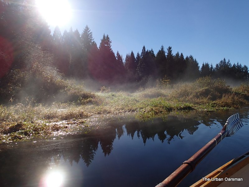
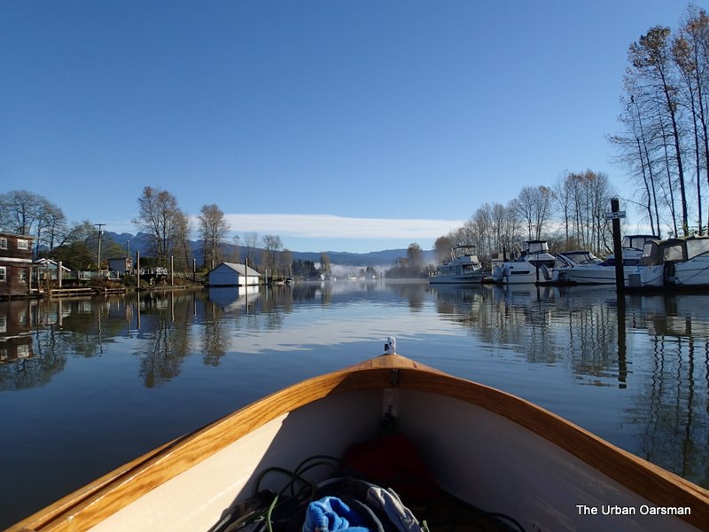 There is fog ahead indicating that the air is still.
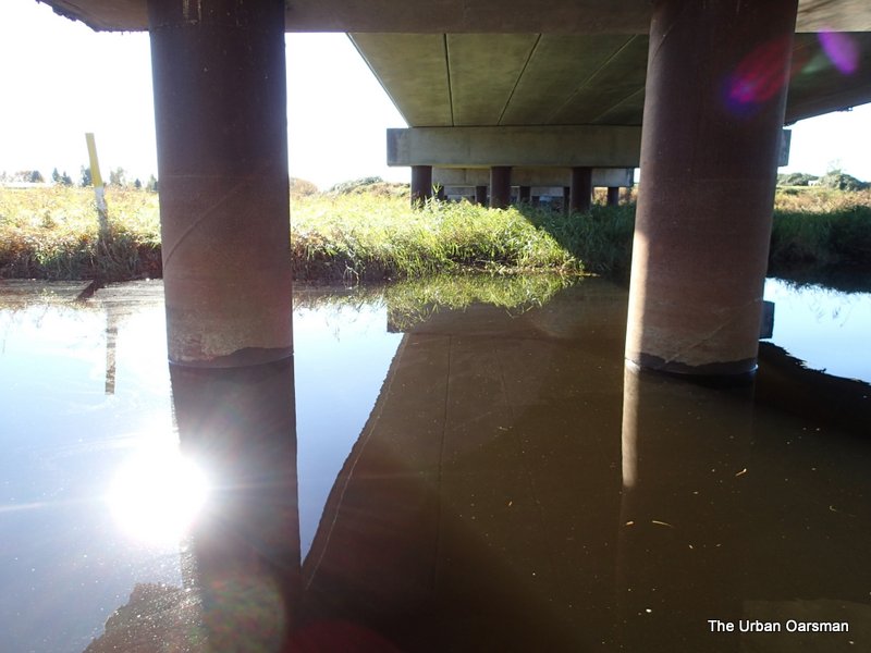
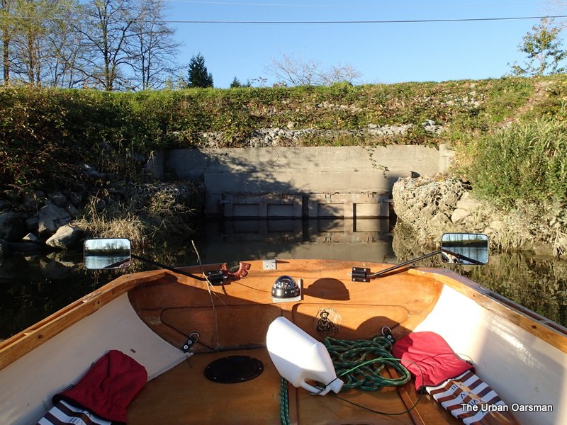
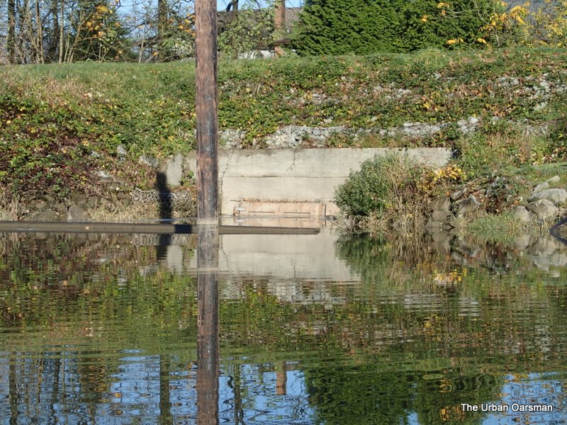 The water is quite high on the dike doors.
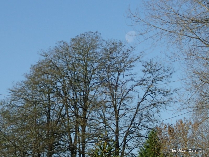 Moon and Trees.
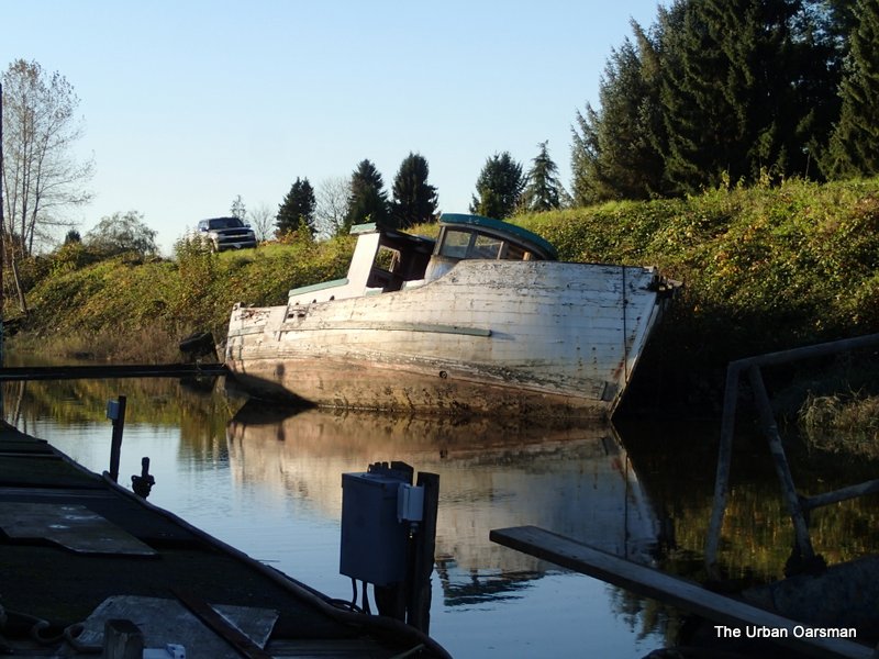
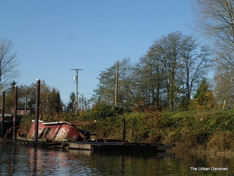 I have seen a photo of “Old Red” afloat, I think it was taken in 2003.
 I have seen a photo on the web of this boat still afloat, tied up next to “Old Red”. I think the picture was taken in June of 2010.
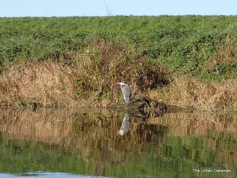 Blue Heron fishing.
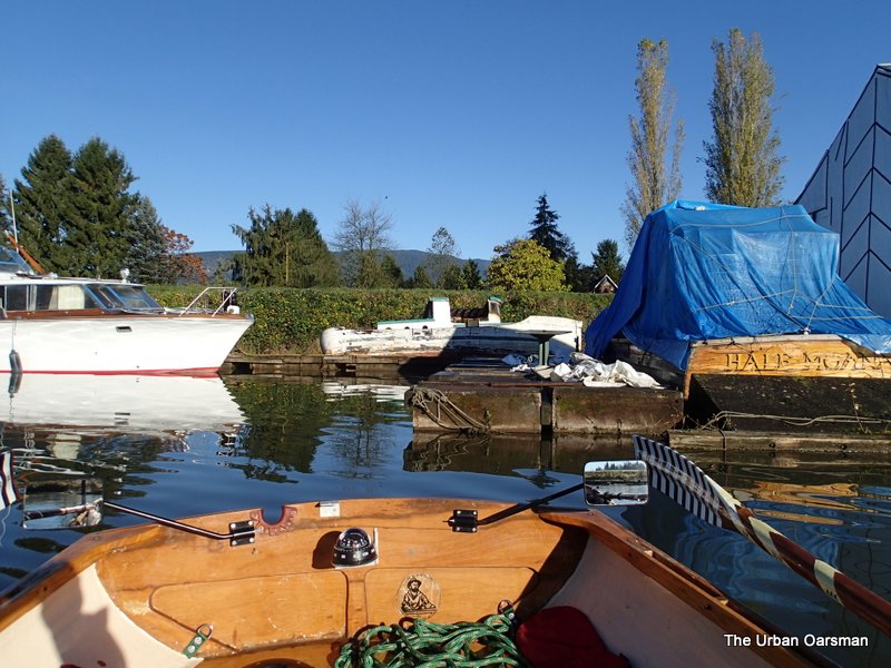
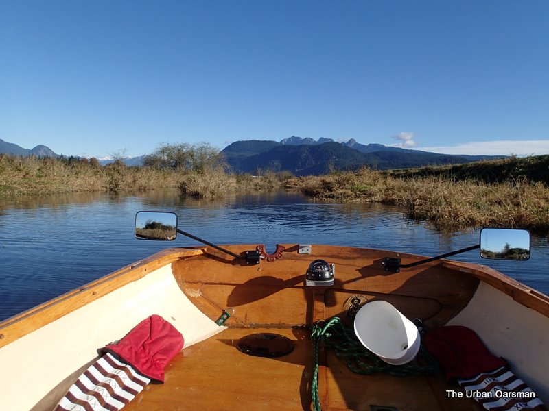
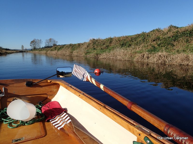
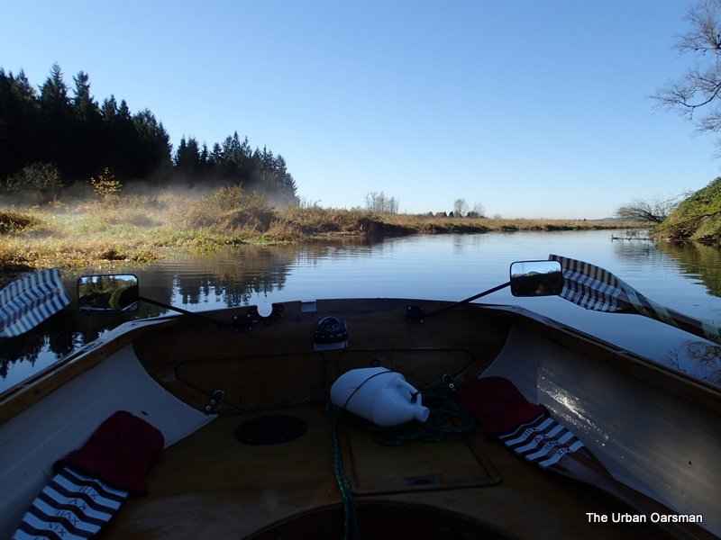
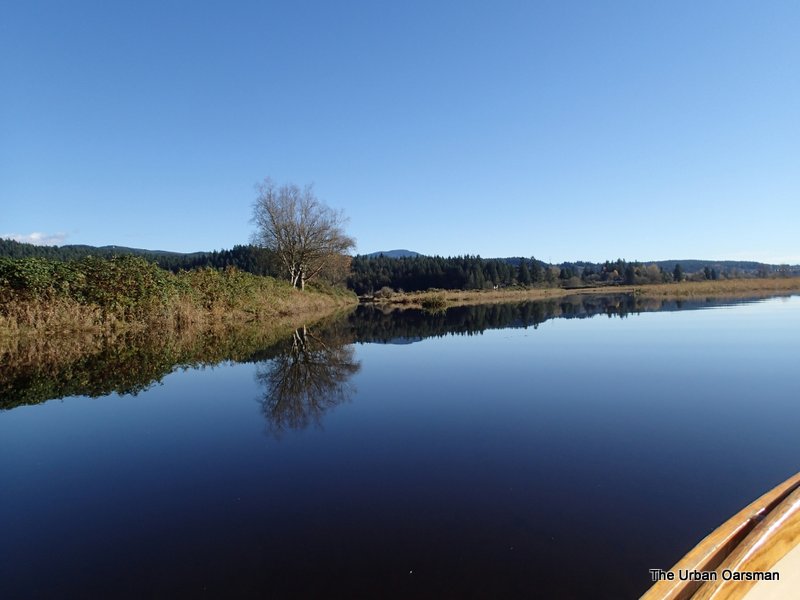
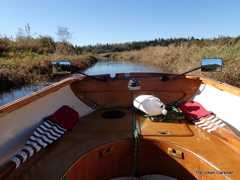
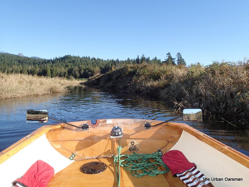
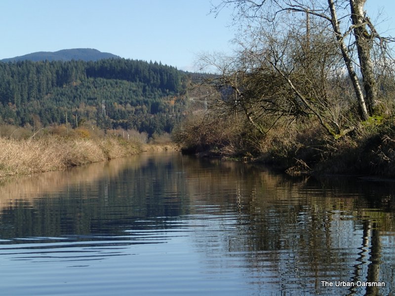
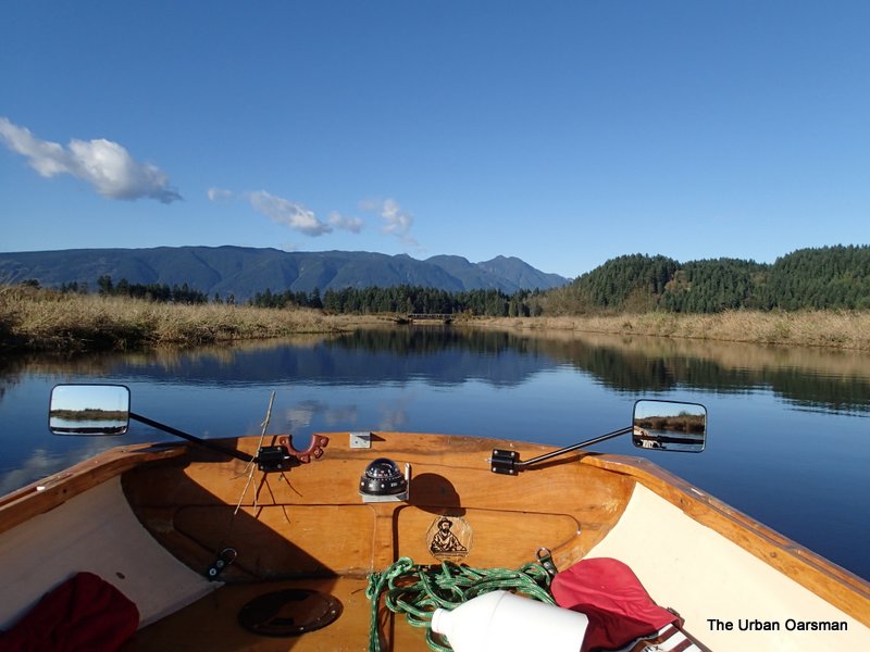
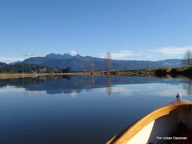 Still waters beckon Gwragedd Annwn and I up river.
 The North Alouette enters from the Port side. The Alouette River gauge is to the Starboard.
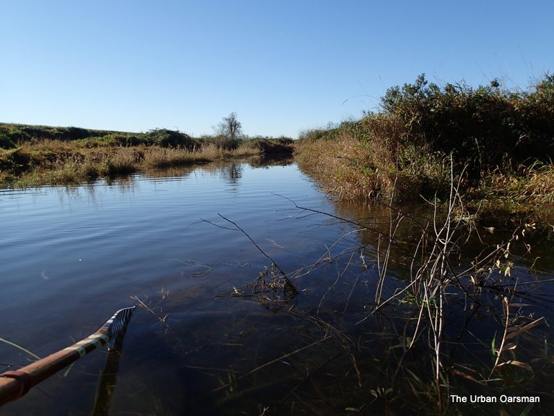
 A small side channel on the North Alouette, just past the River gauge. This is the East side dike. The water level is high enough to explore it a bit.
 A beaver dam keeps the water high when the tide goes out. I slide Gwragedd Annwn over.
 Looking South down the channel. The dike is to the left.
 Looking North along the channel. The dike is to the right.
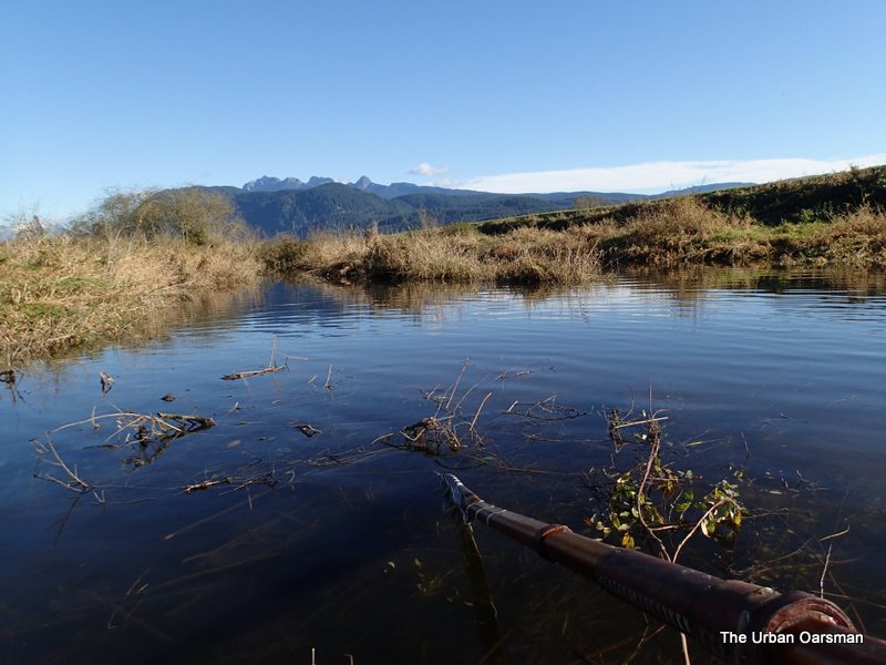
 I row down the channel. It does not go very far. It is fairly deep, I cannot make out the bottom.
 I turn around and head out the way I came in.
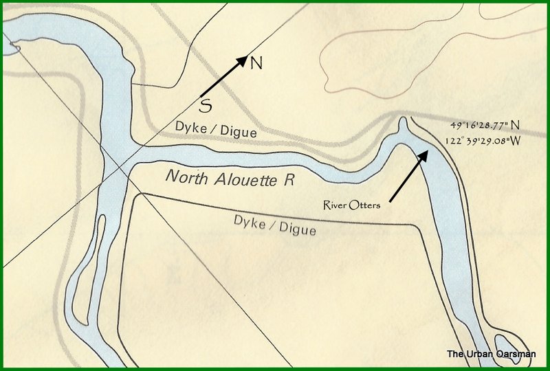 As I am rowing up the North Alouette, I hear snorting noises just past the bend again.
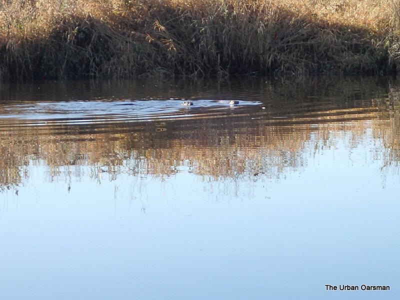
This time I really see the River Otters, and for quite a while.
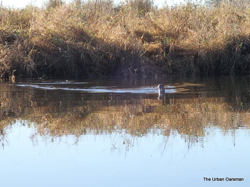 There are three of them. They go onto the South shore and then swim towards me.
 I watch them for maybe five minutes and take a movie of them with my camera. The Utube link is:
Three River Otters in the North Alouette River.
The two River Otters start on the North Shore of the river and swim out to the third one.
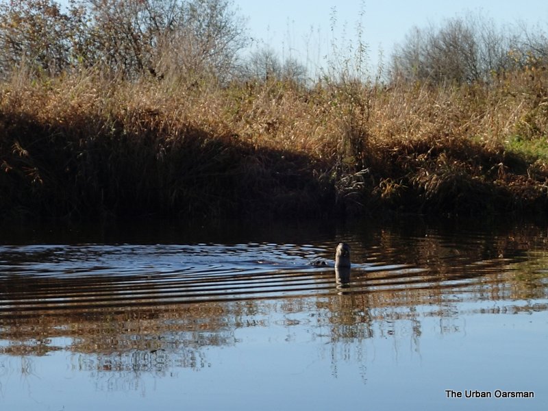 I feel very lucky to have seen them.
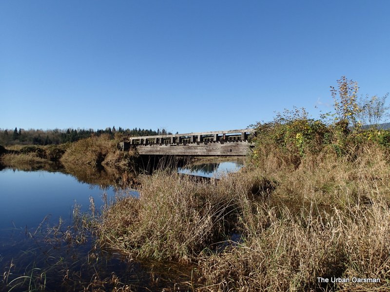
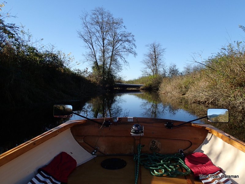
 Passing under the Neaves Road Bridge over Blaney Creek.
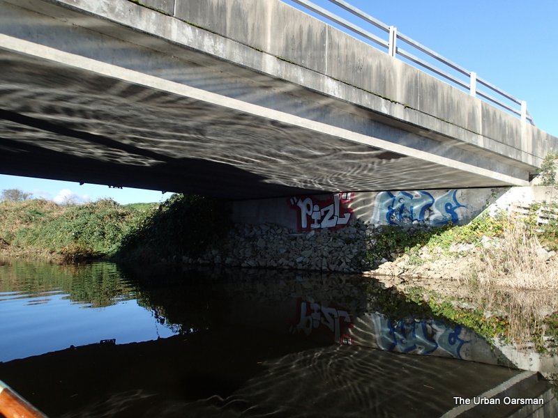 Colourful graffiti on the North End of the bridge.
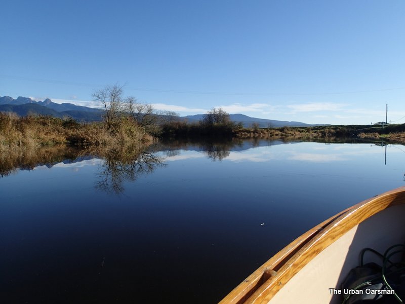
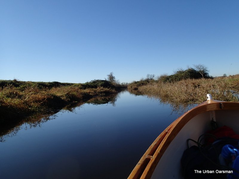
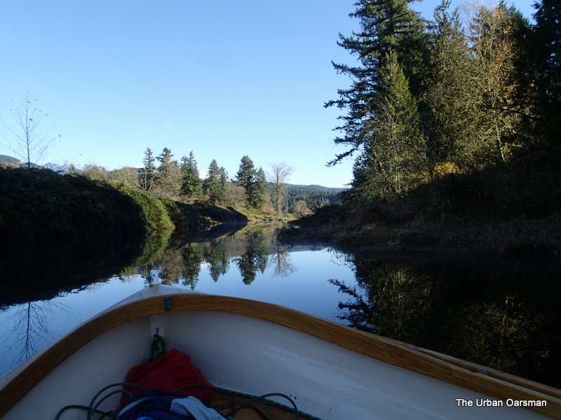
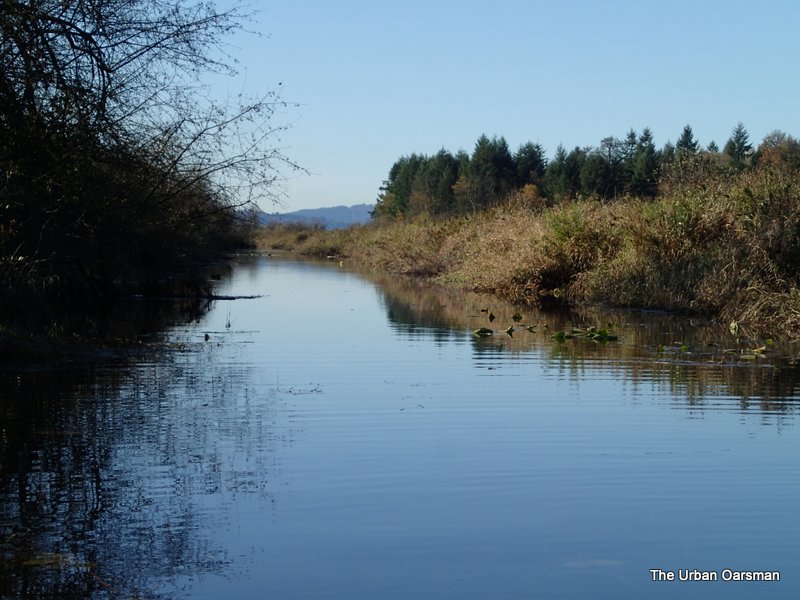
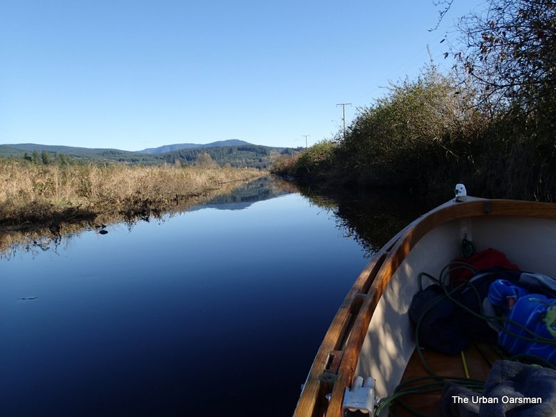
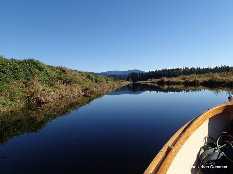 Blaney Creek stretches far into the distance. Ahead lies Codd Island.
 I pass by the float again. I still wonder what it is for.
 Still a bit of fog as I pass by Codd Island.
 Going around the bend, rowing up the channel between Codd Island and the North dike.
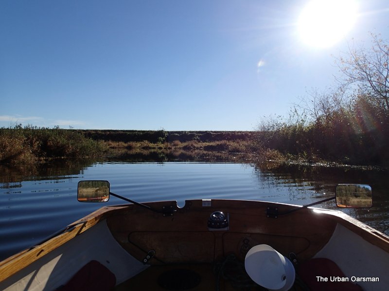
 The channel continues ahead.
 As you pass Codd Island, the channel widens and the water clears. I can see the bottom and the water is over 24″ deep.
 McKenzie Creek to the Port along the North dike and Blaney Creek continues to the Starboard.
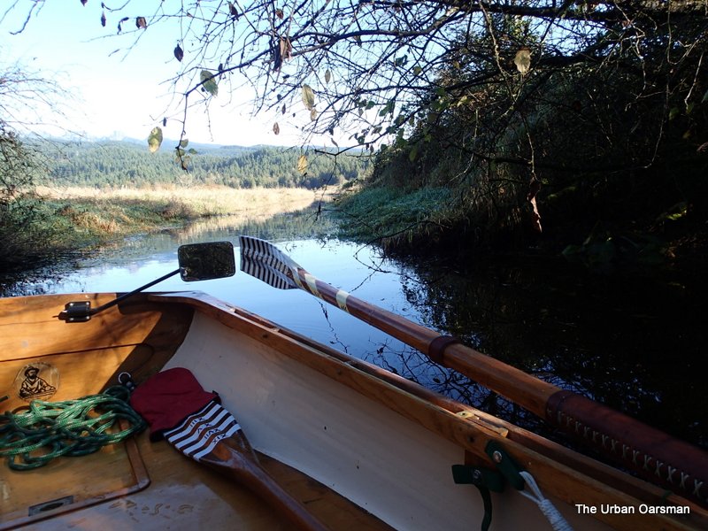
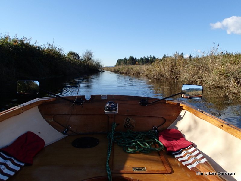
 The side channel to Bordertown branches off beside the bridge to Codd Island.
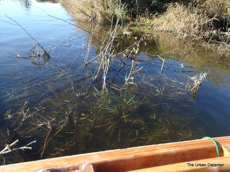
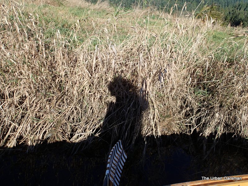
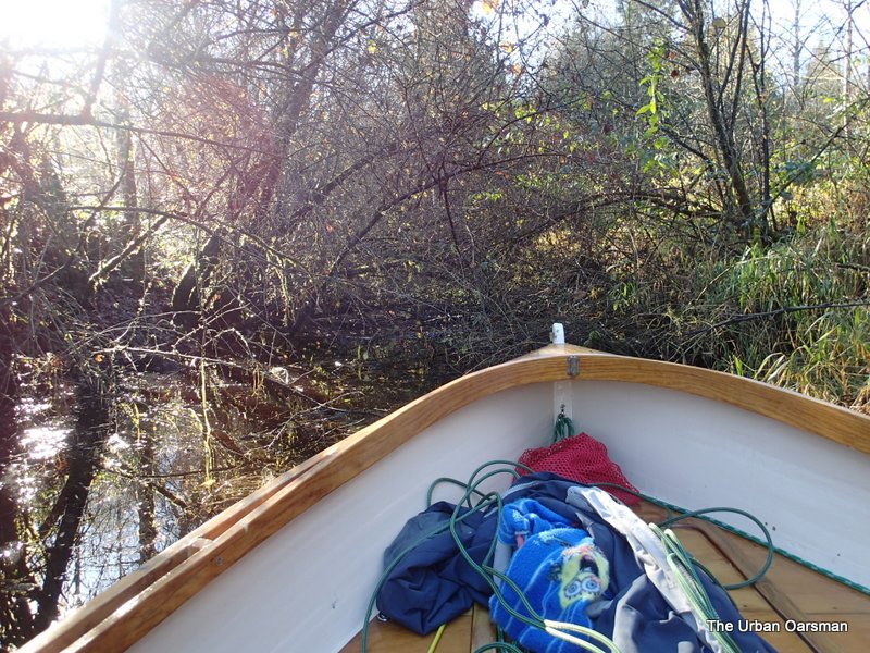
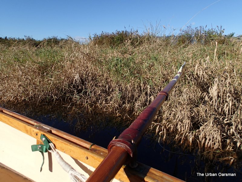 It is a tight fit rowing down the channel. It is between 15 and 20 feet wide. Quite often I am rowing on reeds.
 Looking back towards Codd Island an Blaney Creek.
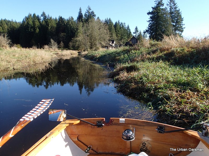
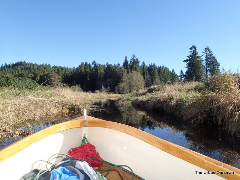 The channel continues on towards Bordertown. According to Google Earth, there is a small pond next to Bordertown that I should be able to row into.
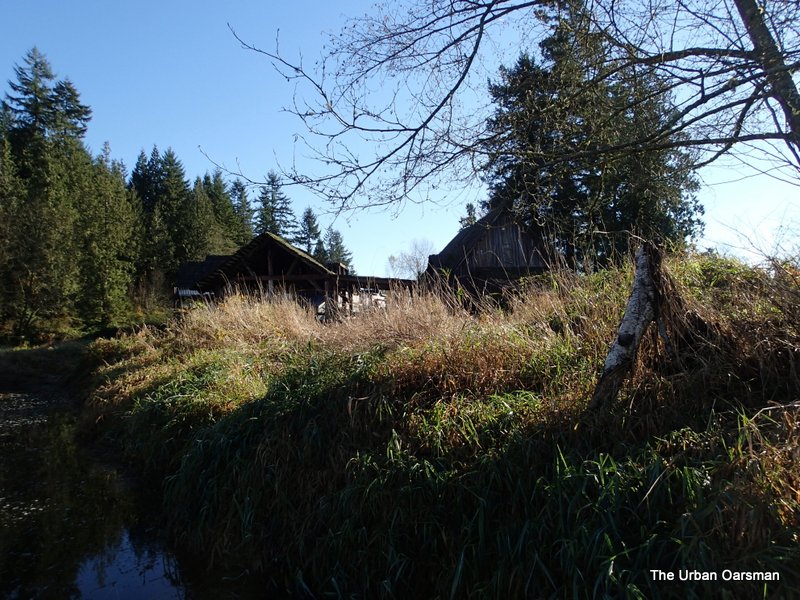 I spot the first few Bordertown buildings.
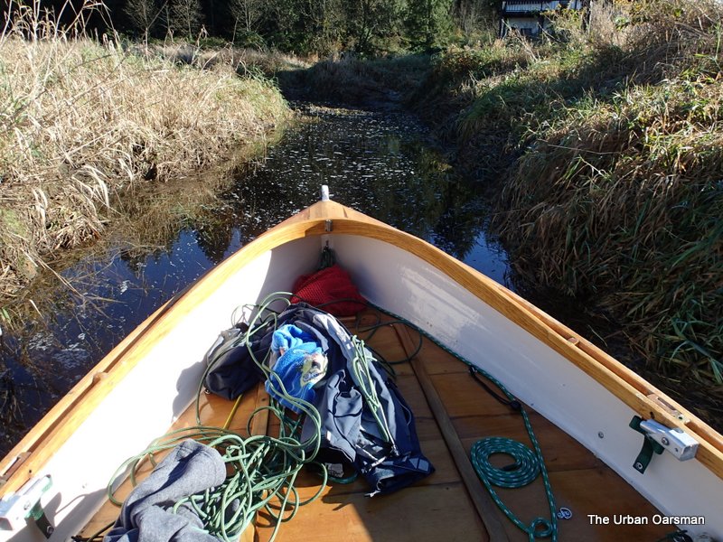 I have to start “poling” Gwragedd Annwn down the channel.
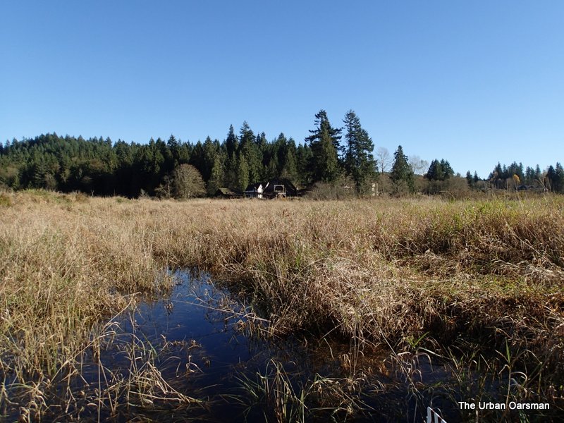
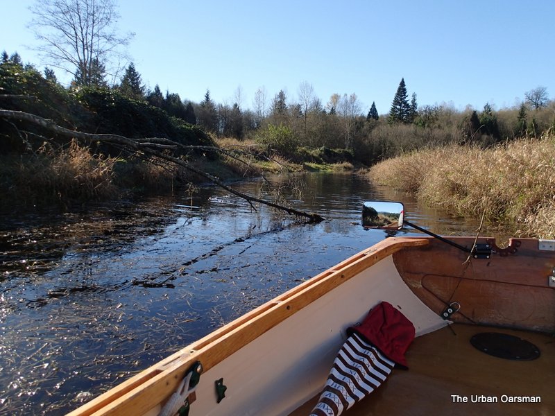
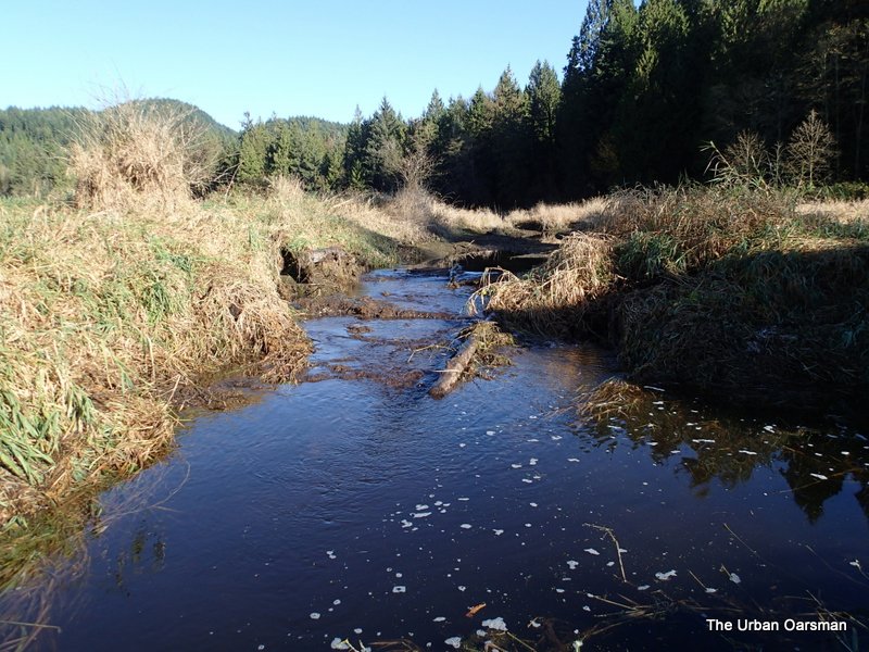 I do not know what this stream is called, but, it is the end of the row for Gwragedd Annwn. Google Earth had lead me to believe that a pond would be just a little further ahead. If there is one, the water level is just not high enough to reach it.
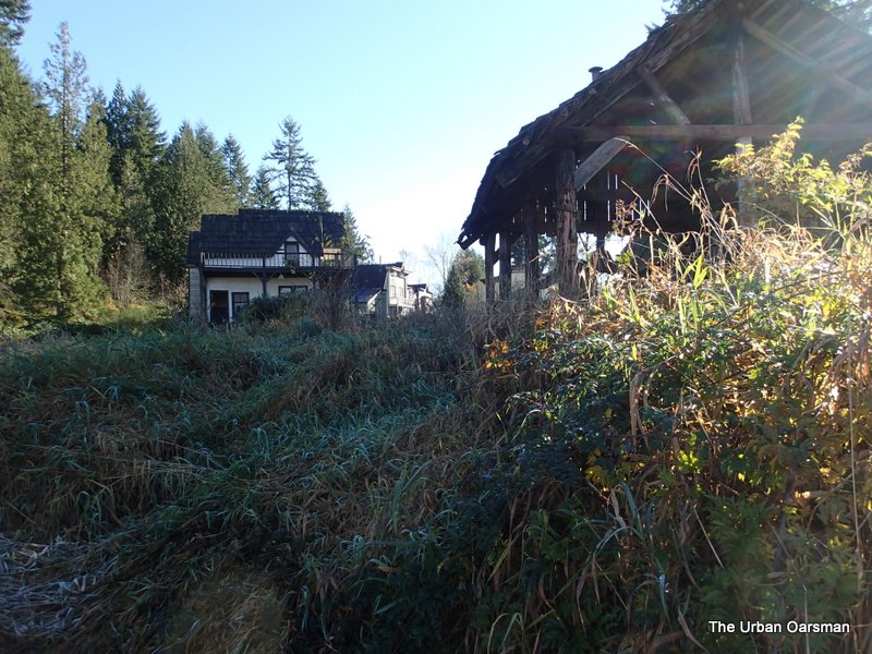 As close to Bordertown as I can get. Need more water!
 Poling my way back to Blaney Creek.
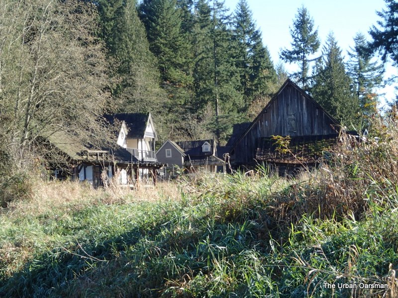 Last close-up picture of Bordertown.
 The channel is widening enough to row.
 I stuck my nose into a channel that should go to some ponds in front of Bordertown. Water not deep enough.
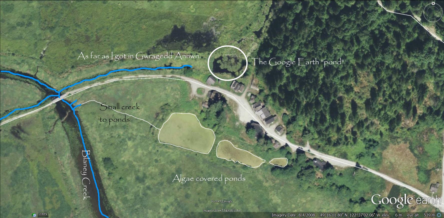
Close up of Bordertown from Google Earth.
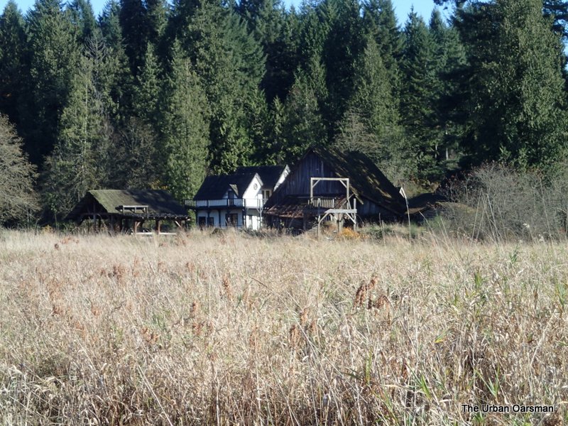 Zoom picture of Bordertown from Blaney Creek.
 The orange snow fence blocks the Codd Island Bridge.
 Codd Island Bridge.
 This channel runs East/West along the road to Codd Island.
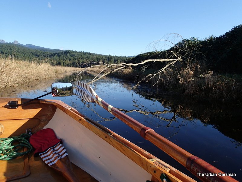 A fallen tree almost blocks the way.
 The channel ends where the trees begin on Codd Island.
 Looking East, back towards Blaney Creek.
 Leaving Codd Island and the fallen tree behind. The channel was quite wide, usually more than 30 feet wide.
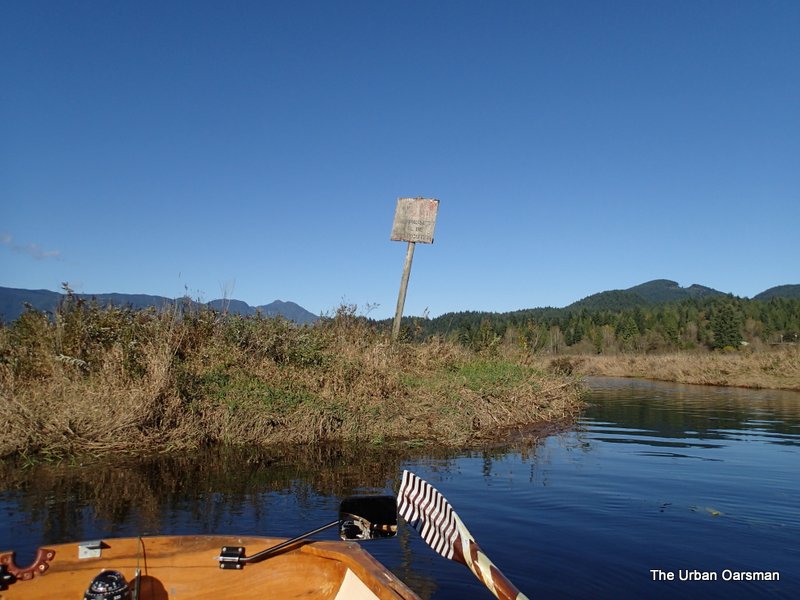 The Trespassers will be prosecuted sign at the junction of Blaney creek and the West/East channel to the North Alouette.
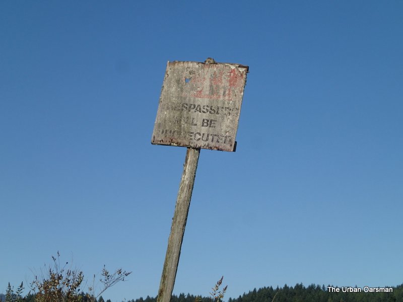 Close-up of the sign. Could use a little touching-up.
 At this point, Blaney Creek Runs East towards 224th Street. Last Row I went upstream. This time I am going to go West, the maps say that this channel will connect with The North Alouette.
 This channel runs West towards the North Alouette. There is a slight current going West.
 A big pipe, too high to go over and too low to go under, blocks the way.
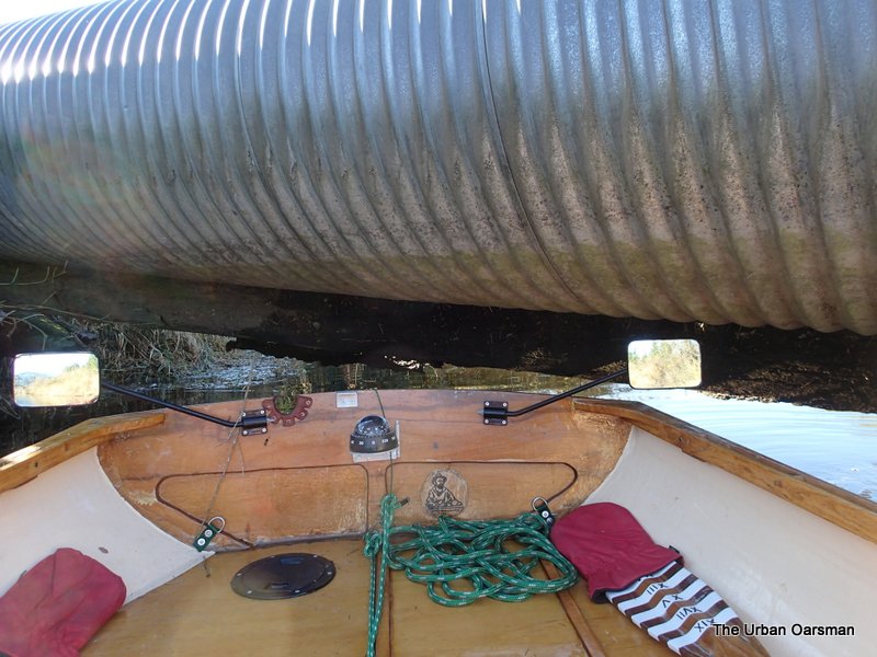 When I rowed Still Creek in Burnaby, I squeezed under a walkbridge to continue upstream. No such luck here. I need another six to ten inches of clearance to squeeze by.
 The channel is a long one, just over 500 meters.
 About 250 meters to Blaney Creek.
 Back on Blaney Creek with the Codd Island bridge ahead (I am rowing backwards just for a change).
 Back on the North Alouette, heading downriver towards the Marina. Again I am rowing backwards. I do this sometimes to see where I am going better or to give my rowing muscles a break by rowing with different ones. A change can be as good as a rest.
 The dead boat again. The water level has dropped during the Row.
 The water level has dropped. There is more of the door visible. I should have measured the distance but did not think to. Next time.
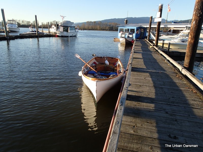 Gwragedd Annwn at the dock, waiting for me to get her trailer.
According to the Alouette River Level Guage, I had the second highest water level on this trip. I am told that the highest water levels are in June, when the Fraser is running high. I will have to try again then.
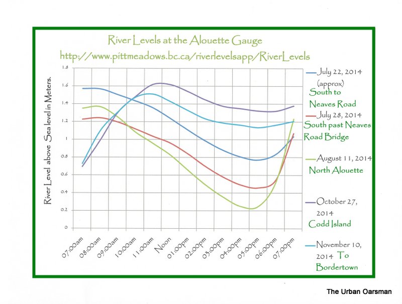
Alouette River Levels at the gauge.