
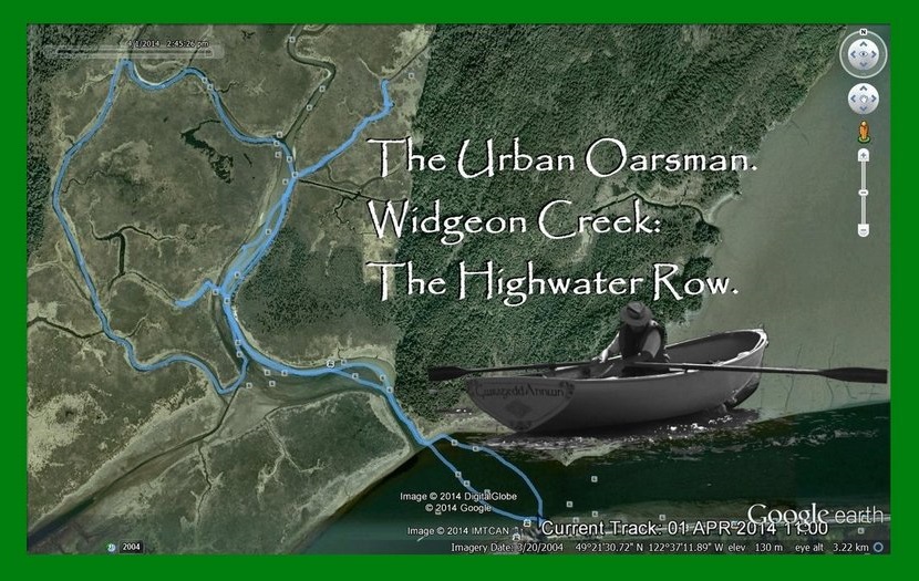
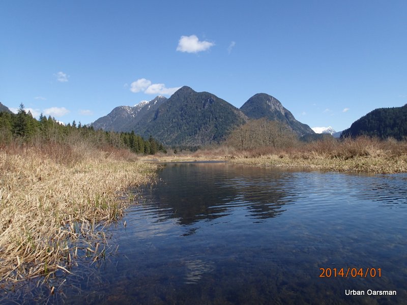
I am going to Row Widgeon Creek at the highest water ever for me. I intend to row up the western most channel between Siwash Island and the West Shore.
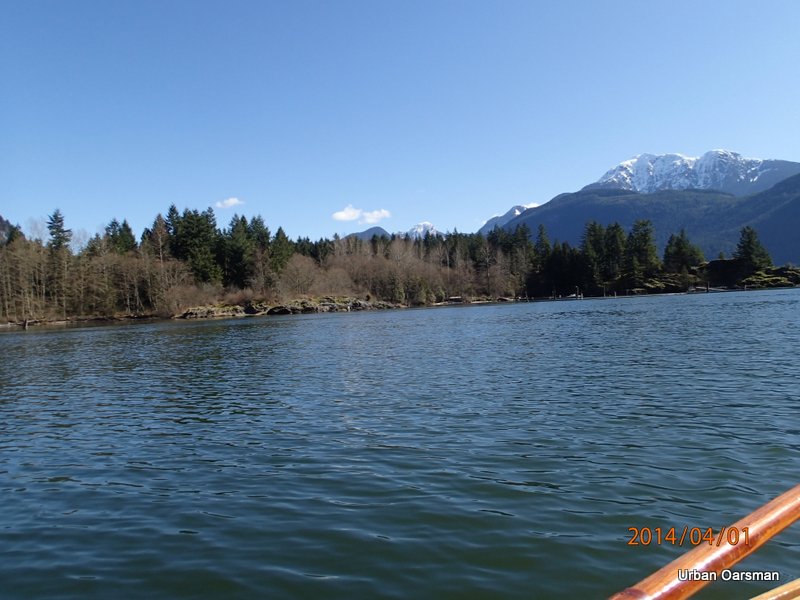
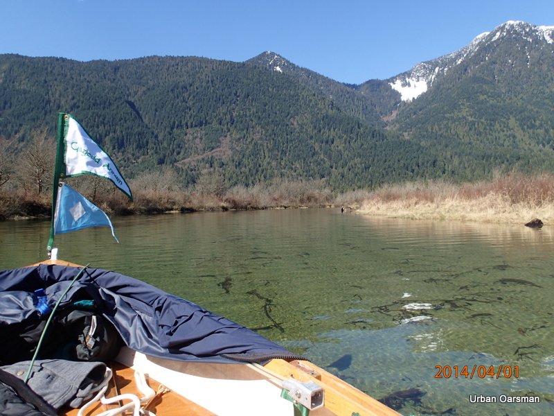
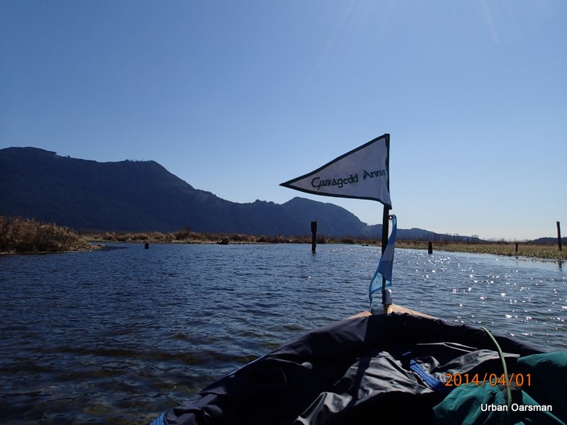
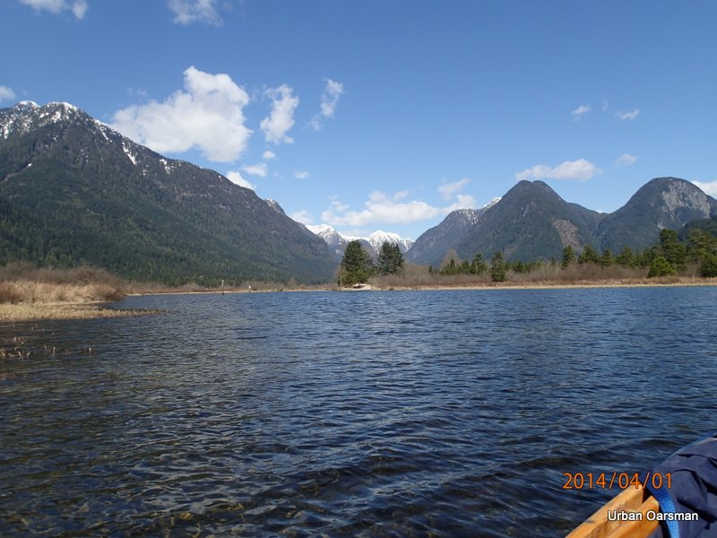
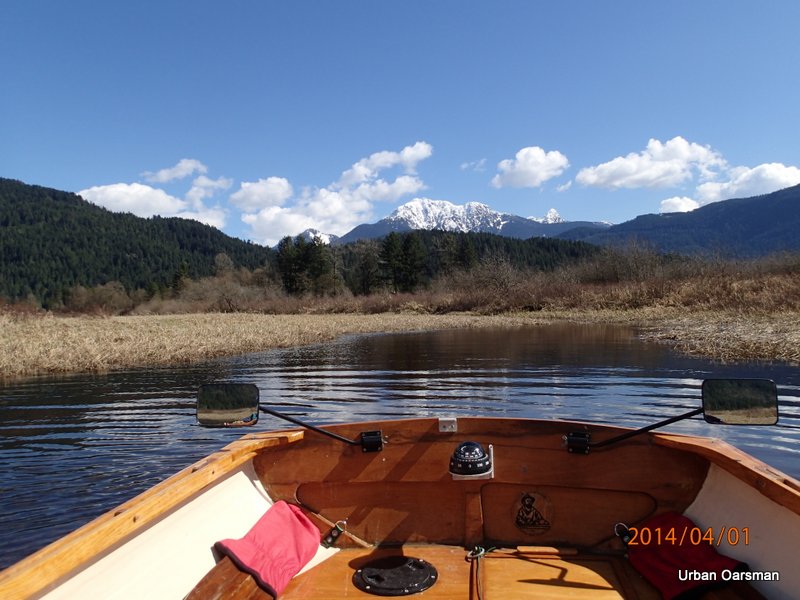
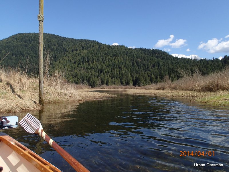
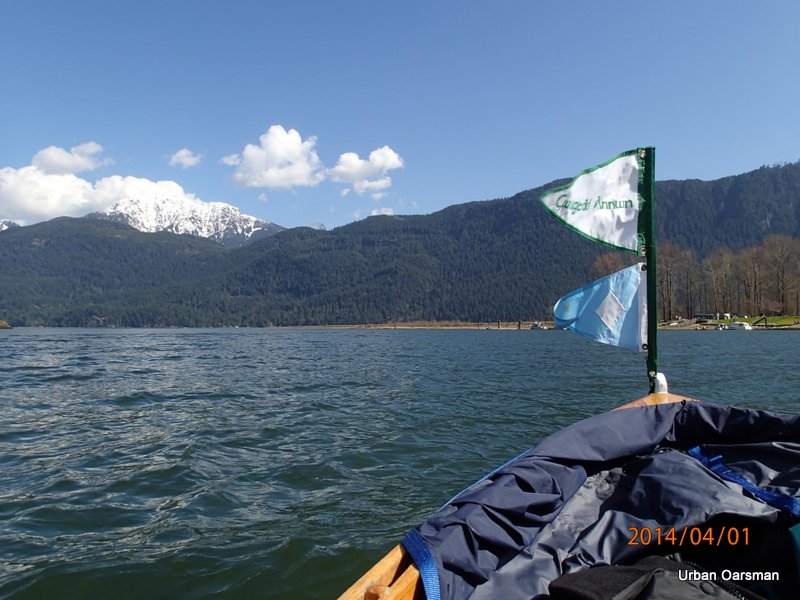
Putting Gwragedd Annwn in at Grant Narrows. The water level is very high.
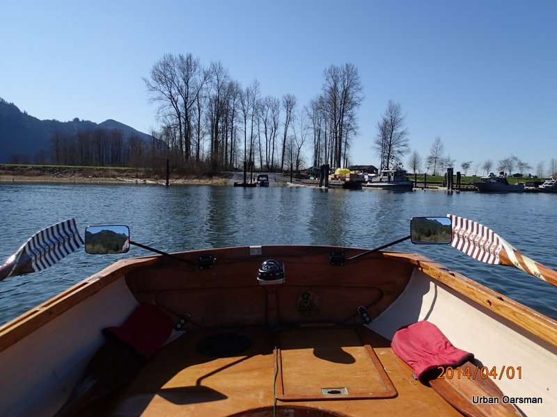
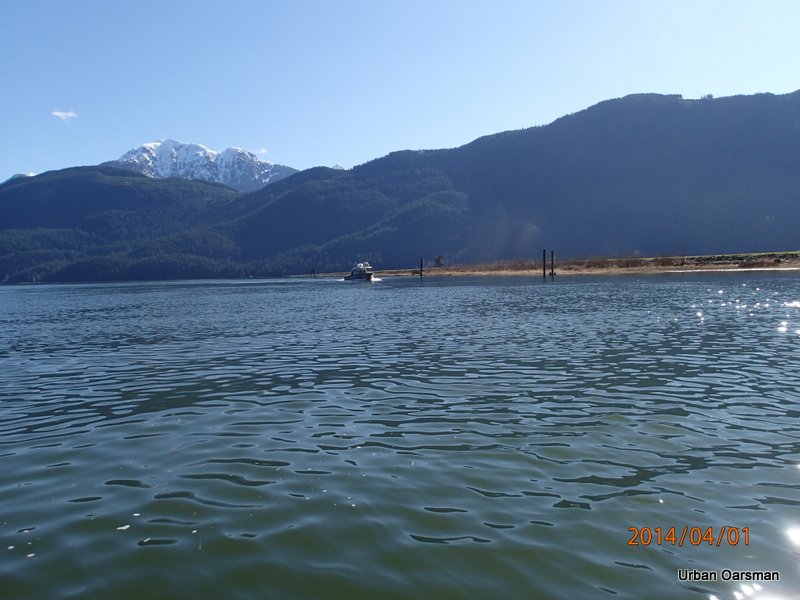
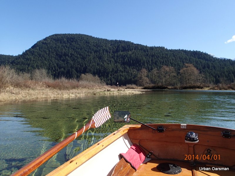
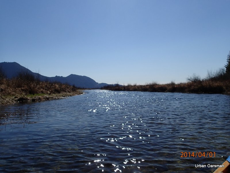
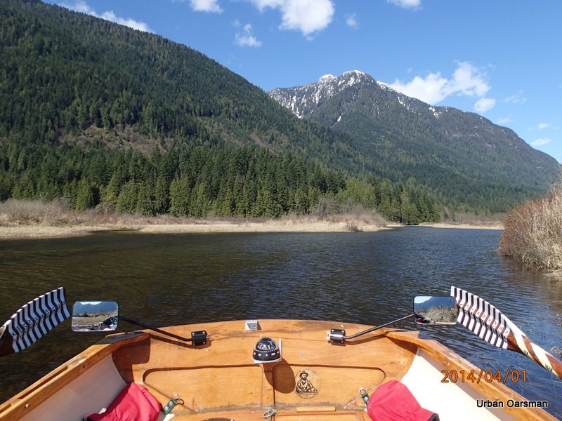
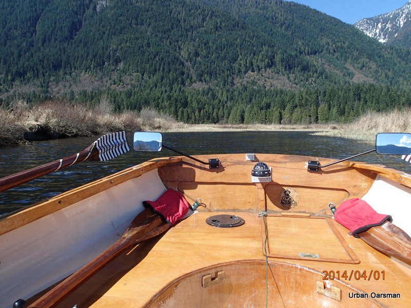
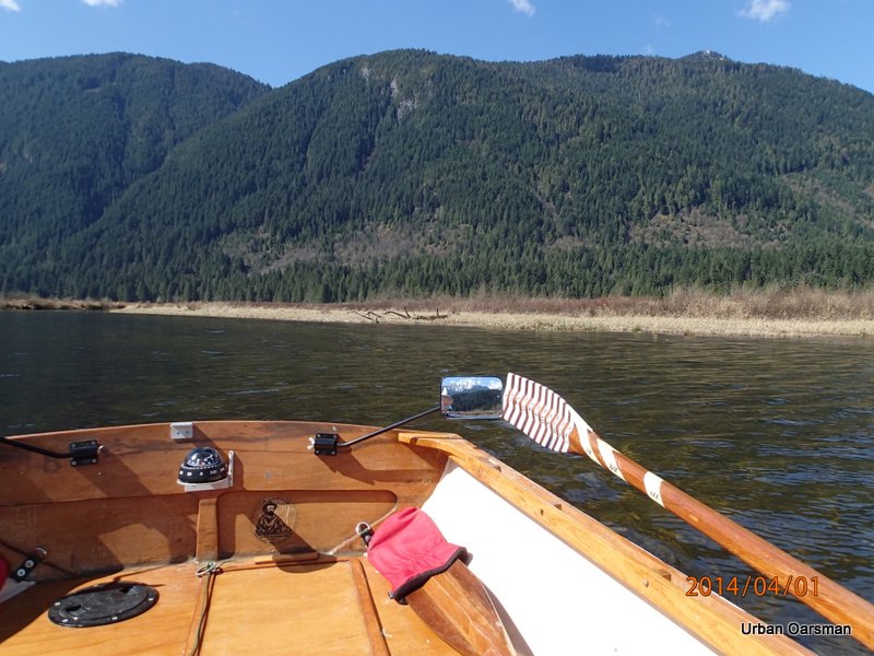
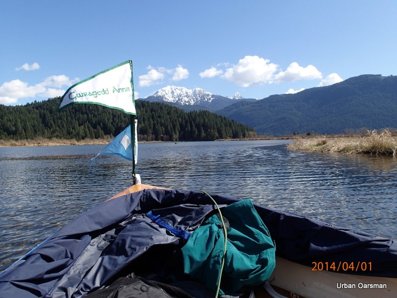
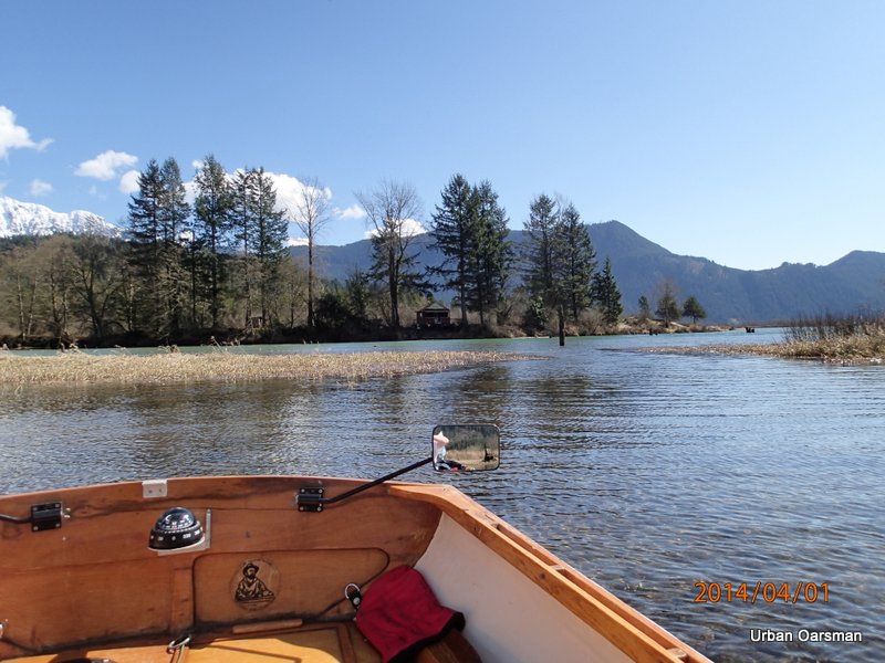
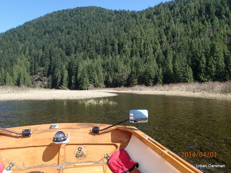
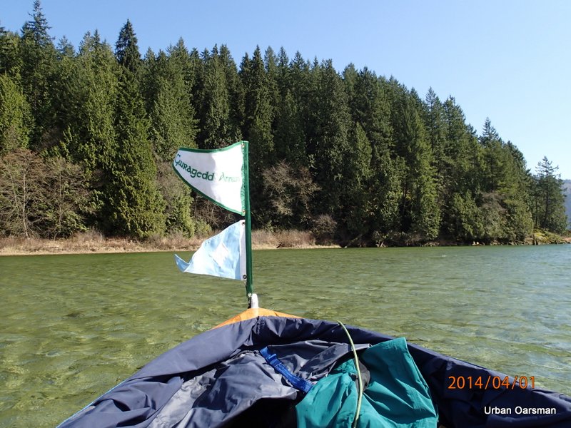
Rowing away from launch. It is a sunny, calm day.
Amazing! This boat slowed down.
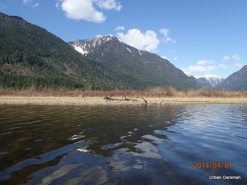
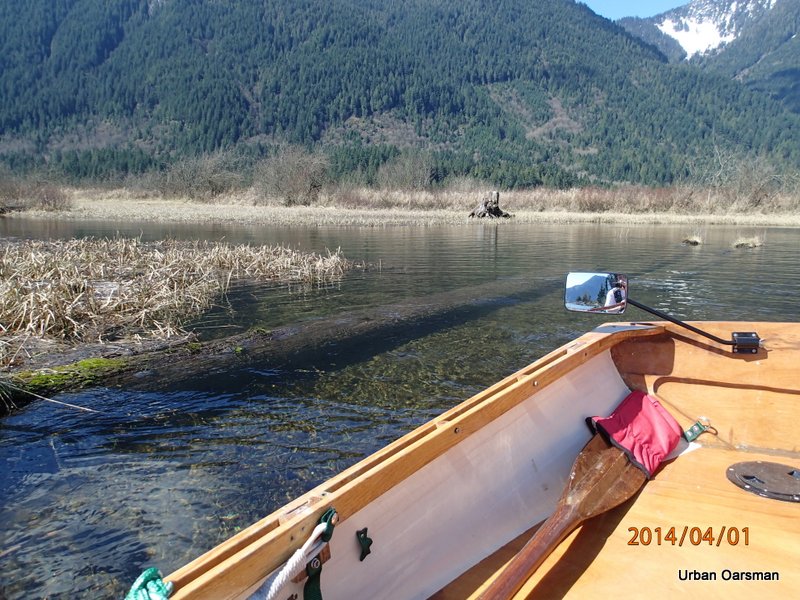
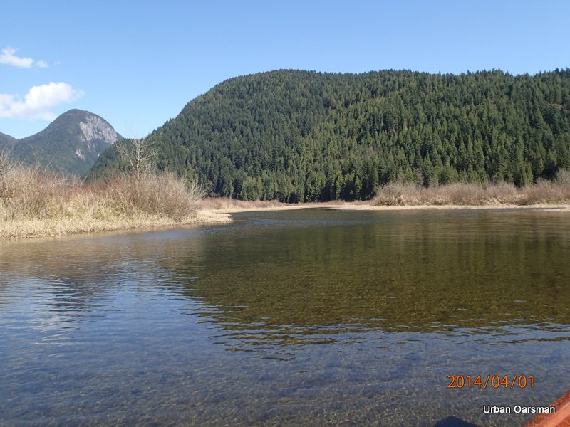
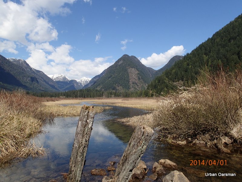
Looking a the shoreline where Widgeon Creek Lodge used to be.
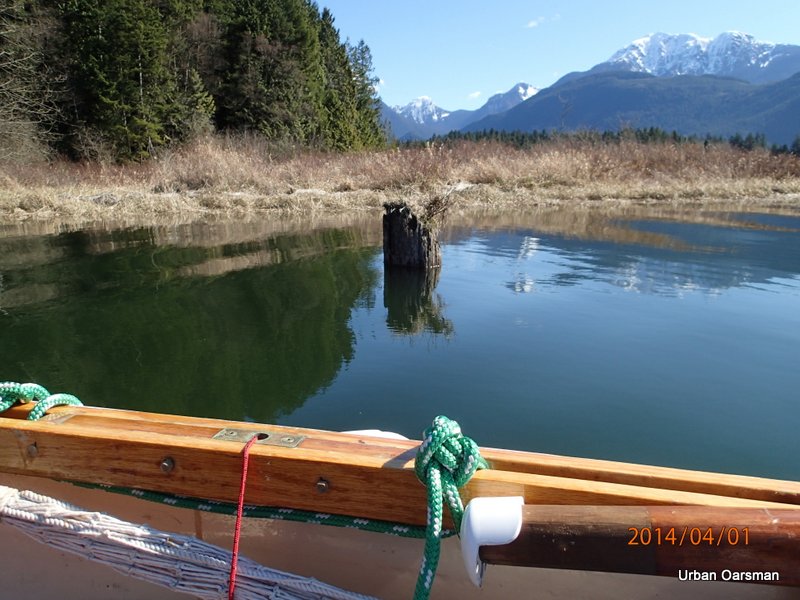
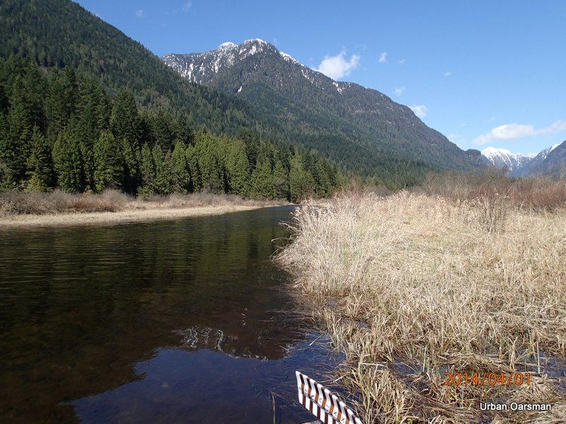
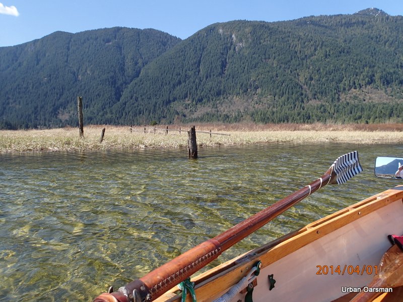
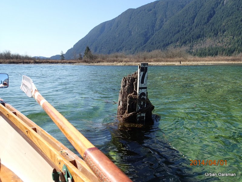
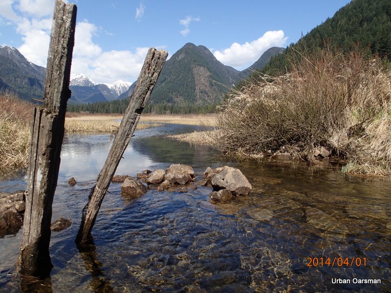
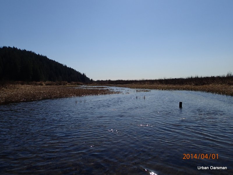
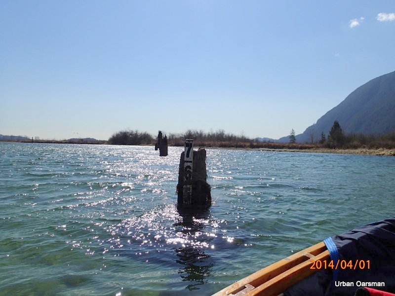
Piling at the north side of the mouth of Widgeon Creek.
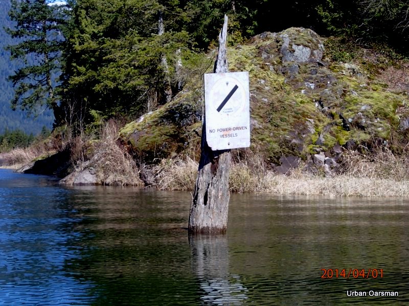
The no power boats sign.
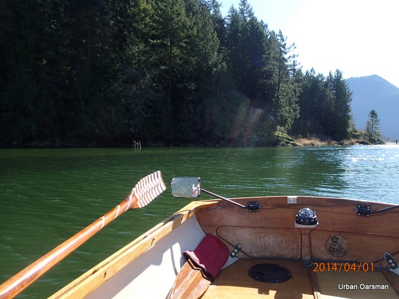
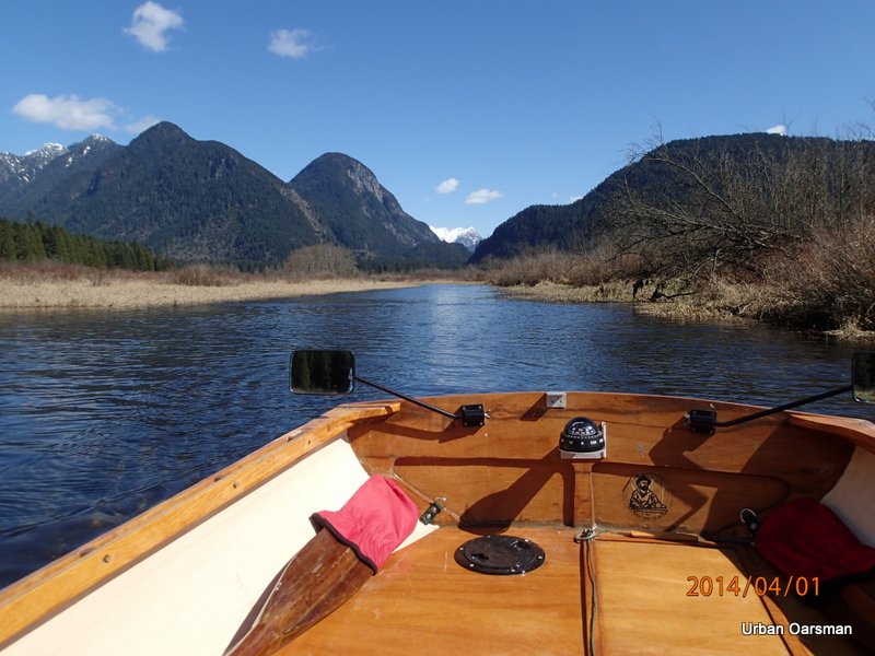
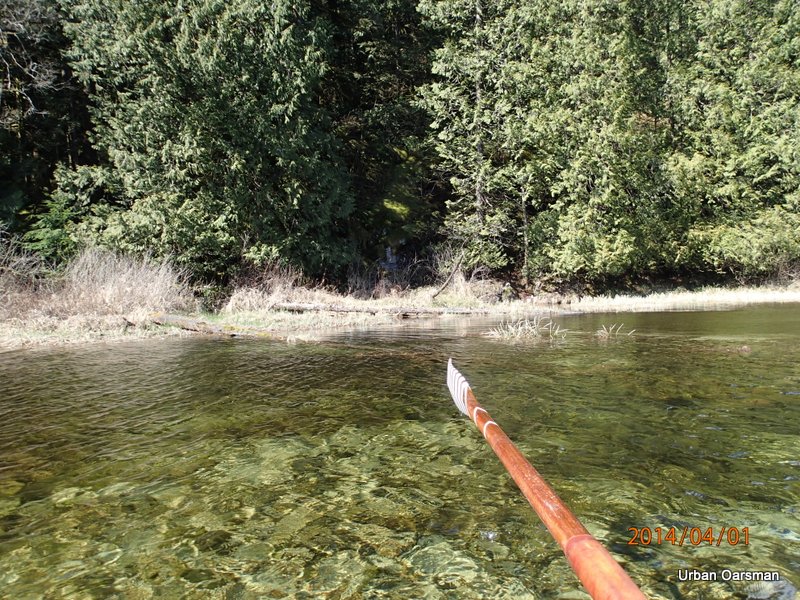
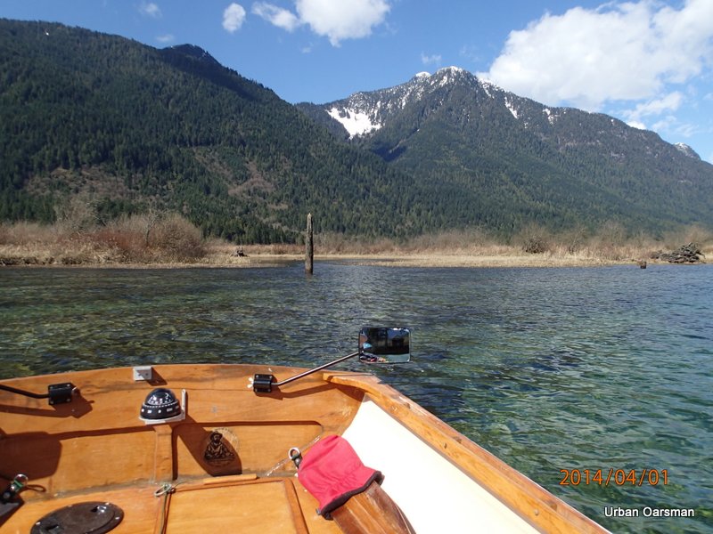
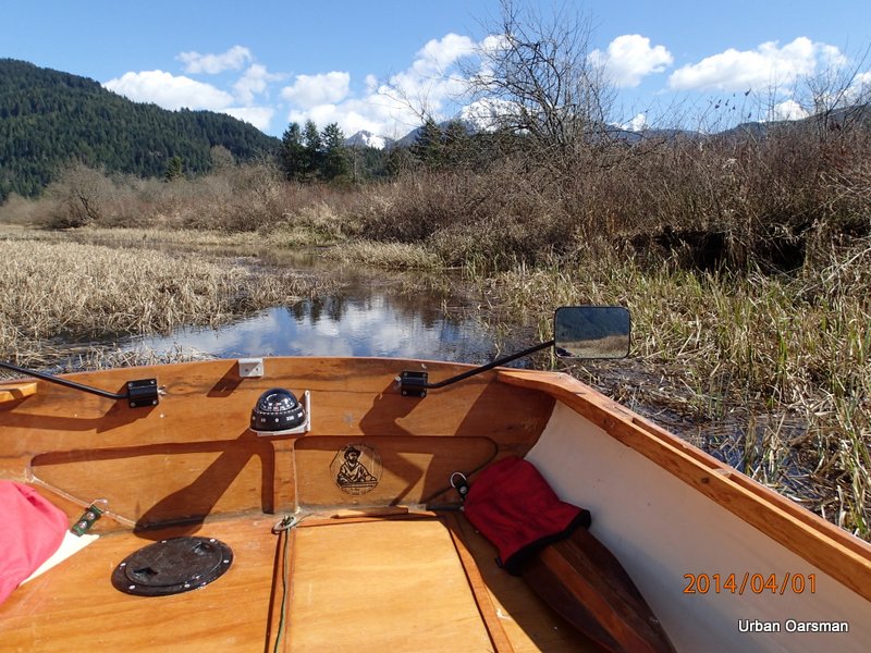
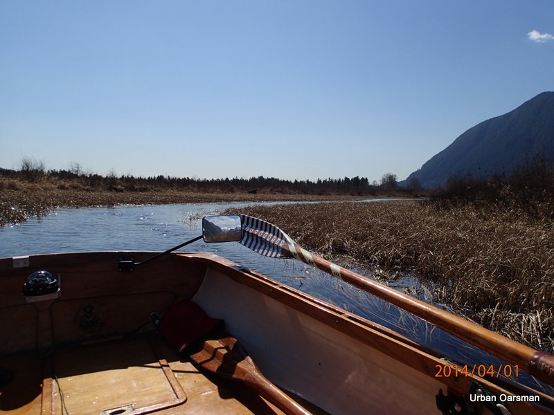
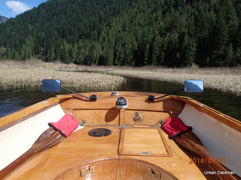
The water is deep everywhere. I do not have to follow the creek channel.
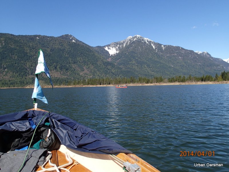
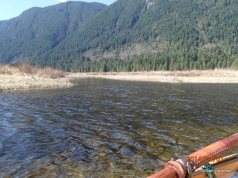
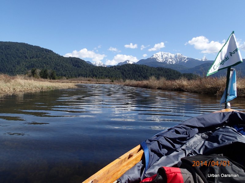
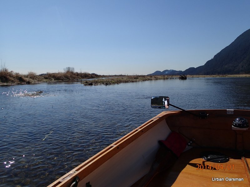
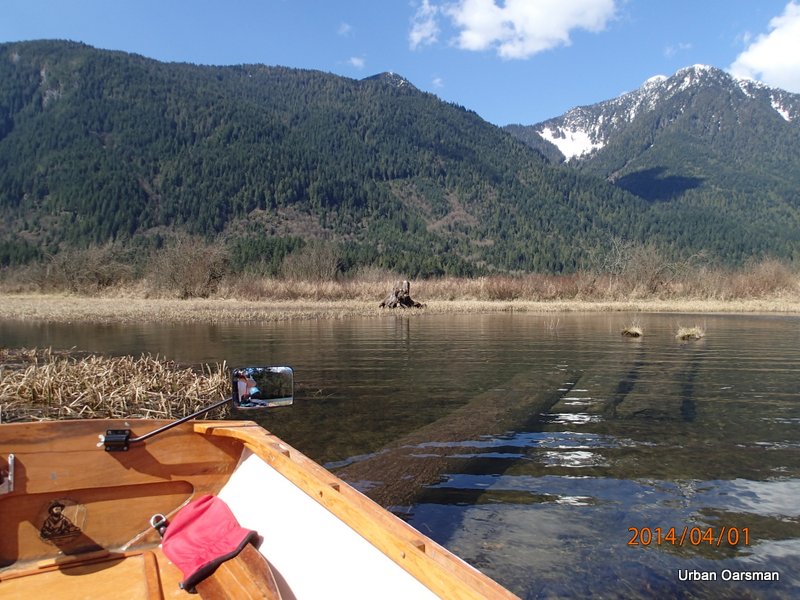
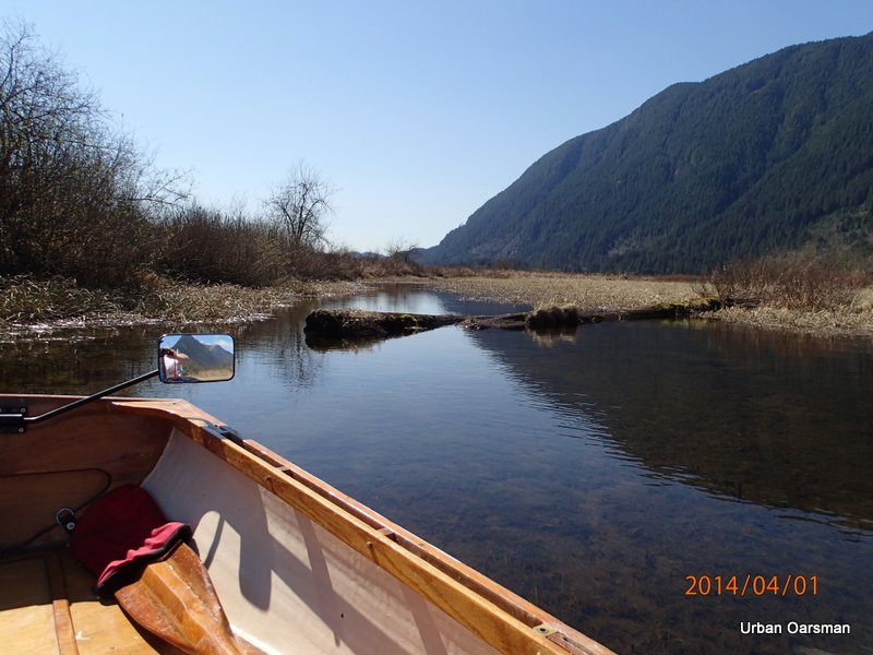
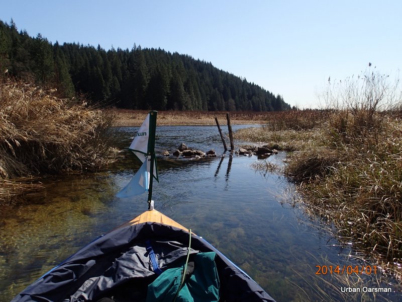
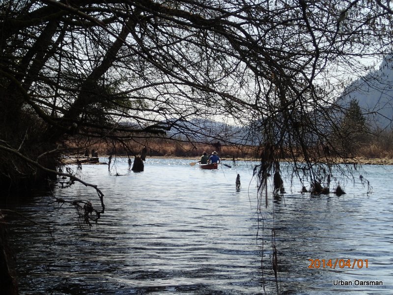
A canoe heads upstream. The estuary is very wide here with the water so high.
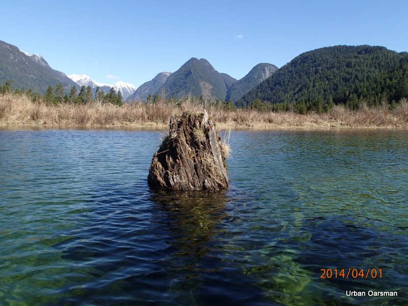
This is the highest I have ever seen the water on the stump.
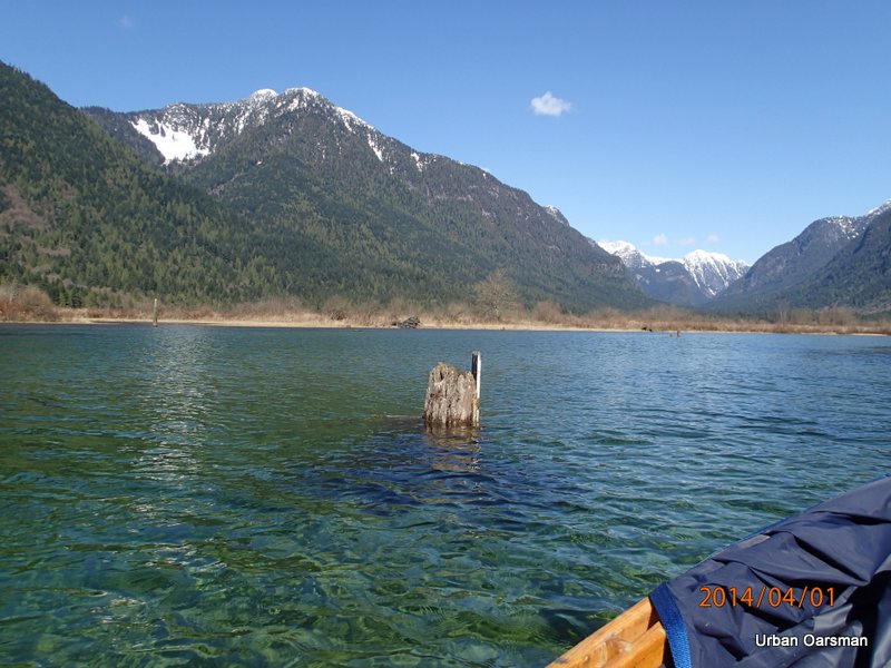
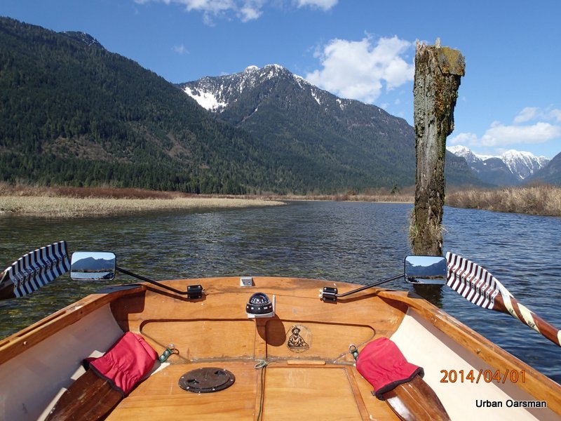
The depth marker piling.
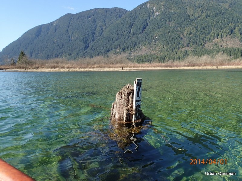
Six feet!
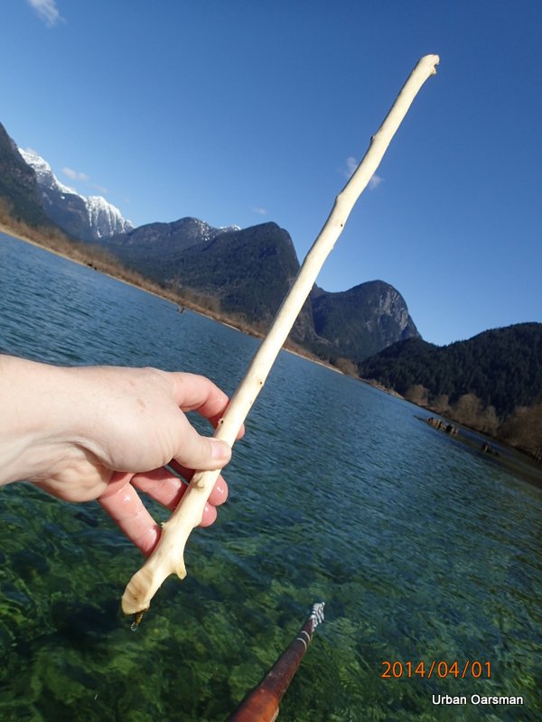
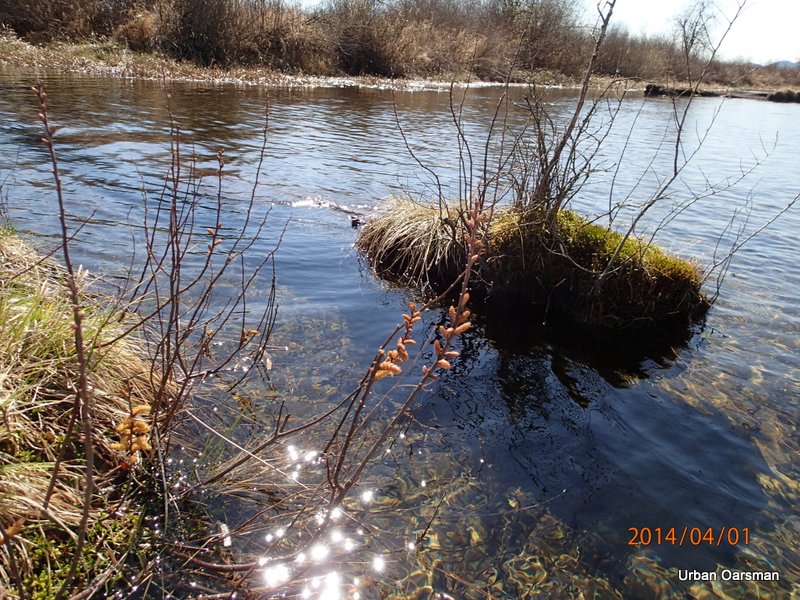
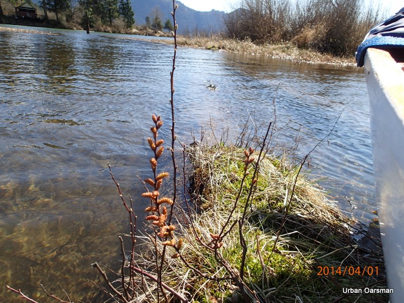
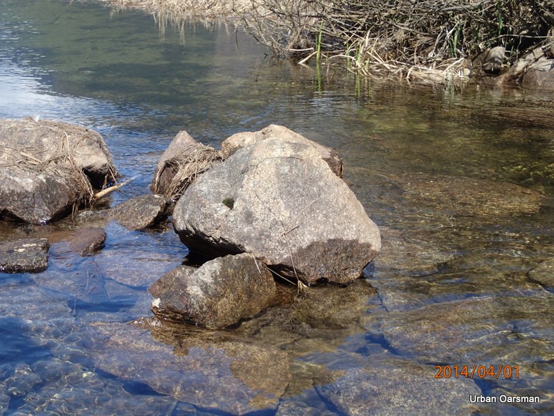
Authentic beaver stick, gnawed on by B.C. beavers.
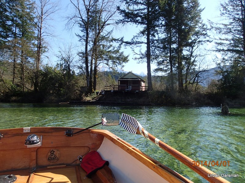
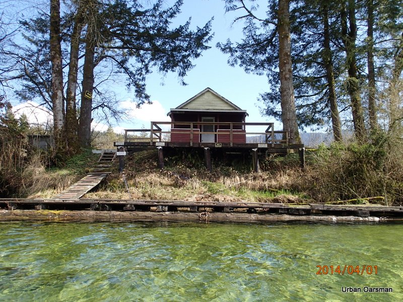
The no-trespassing cabin.
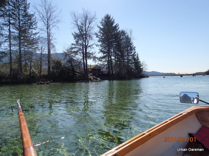
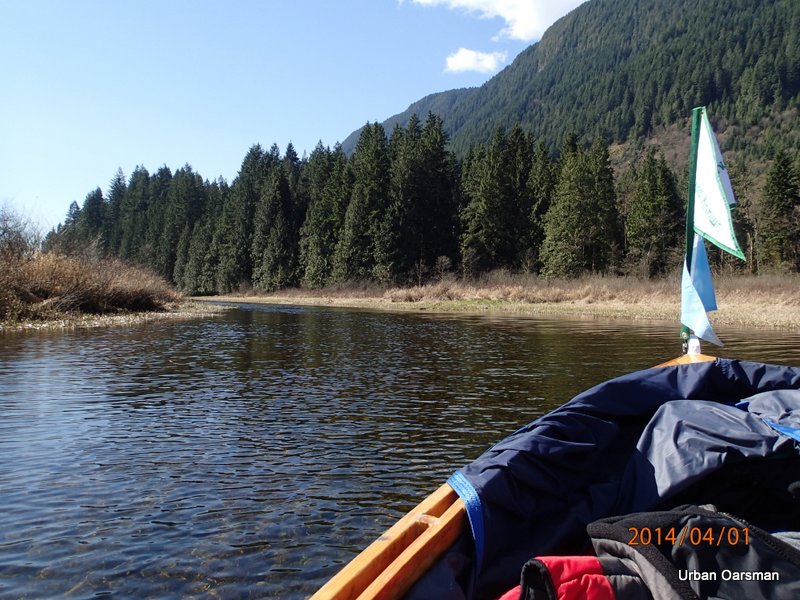
Rowing past the cabin. I will take the fork towards the campsite.
The side channel to the right (east) that is usually to shallow to explore.
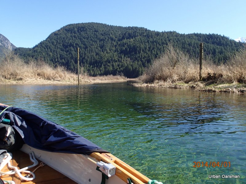
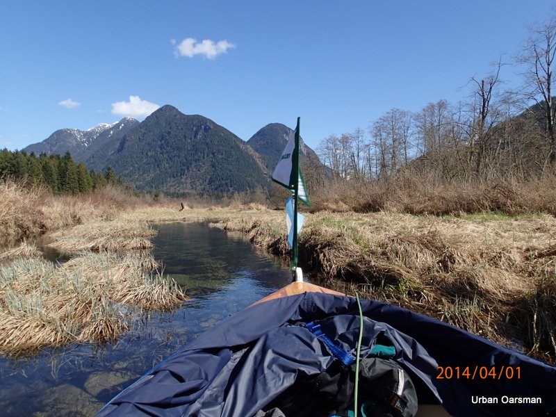
Past the fork, heading towards the campsite.
The water is up to the reeds.
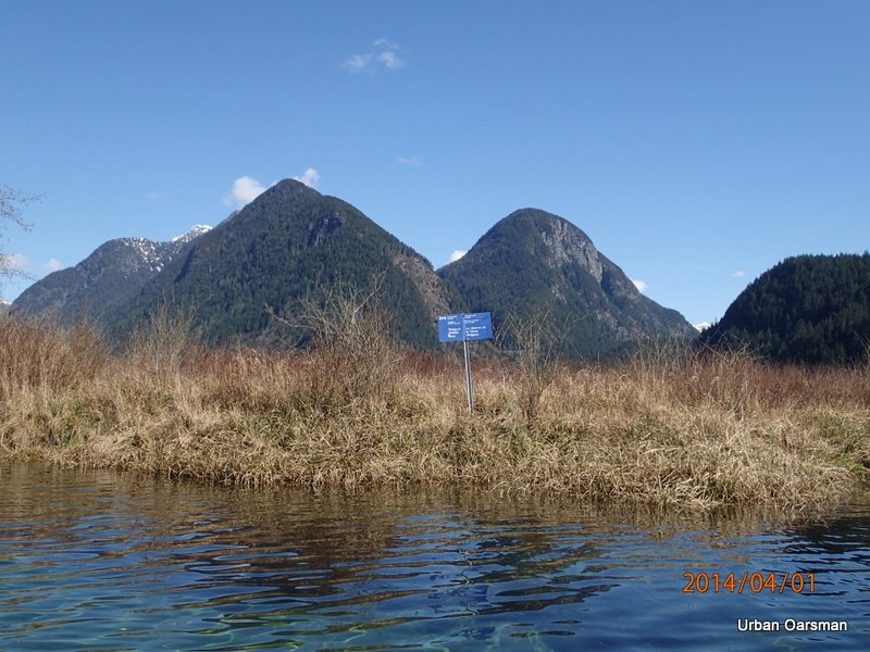
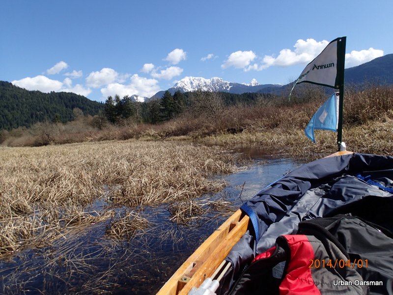
Widgeon Creek Wildlife area sign.
The skunk cabbages are some of the earliest plants to flower.
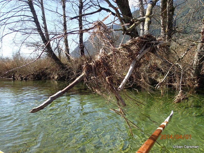
Does this flotsom in the trees indicate the highest water level?
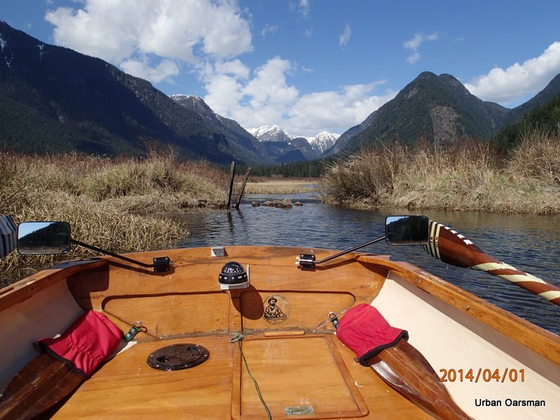
This is where the channel I intend to take branches off of the campsite fork.
Not a lot of water even with the water level this high.
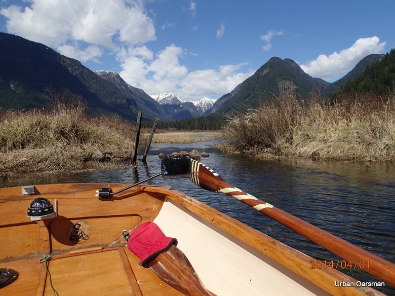
I back up the channel for better visibility.
The channel widens as I leave the campsite fork behind.
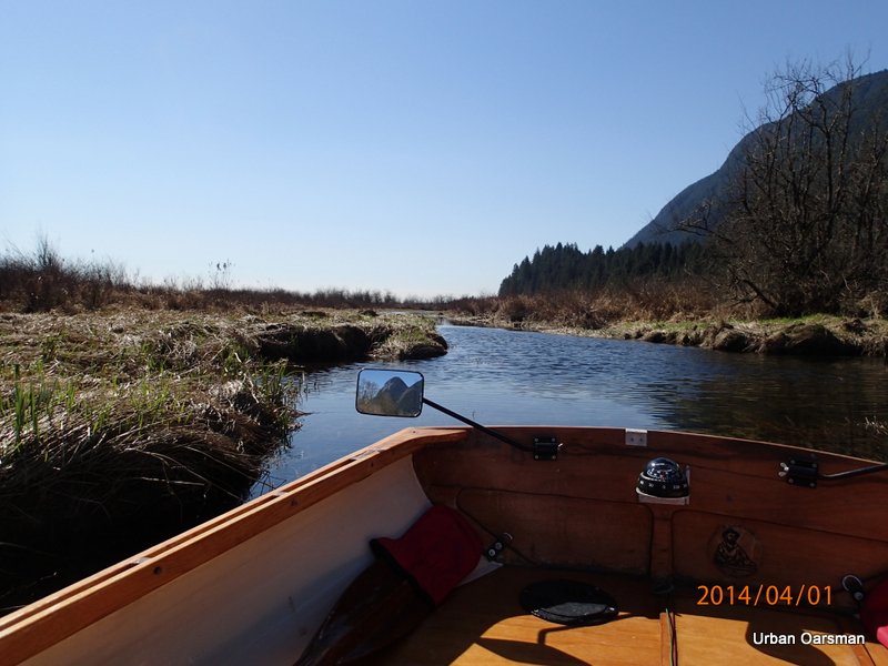
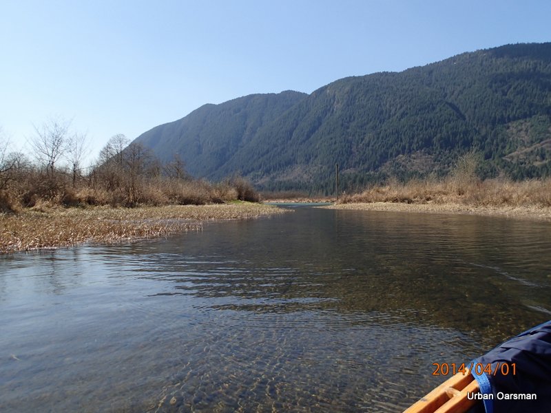
Continuing down the channel. There is a lot of depth here and the rowing is easy.
A shallower spot where a creek enters from the West.
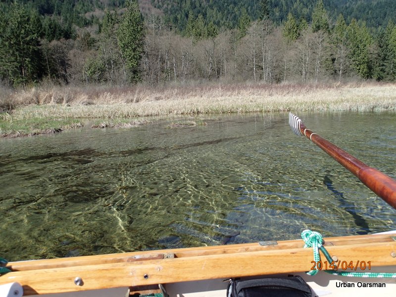
I touch bottom several times as I attempt to find the channel though.
Moving into deeper water.
Looking South-East. The channel is deeper here.
There are still shallow spots as I row on.
I pull over into the reeds so the wind will not blow me back as I have a drink and a sandwich.
Looking back down channel.
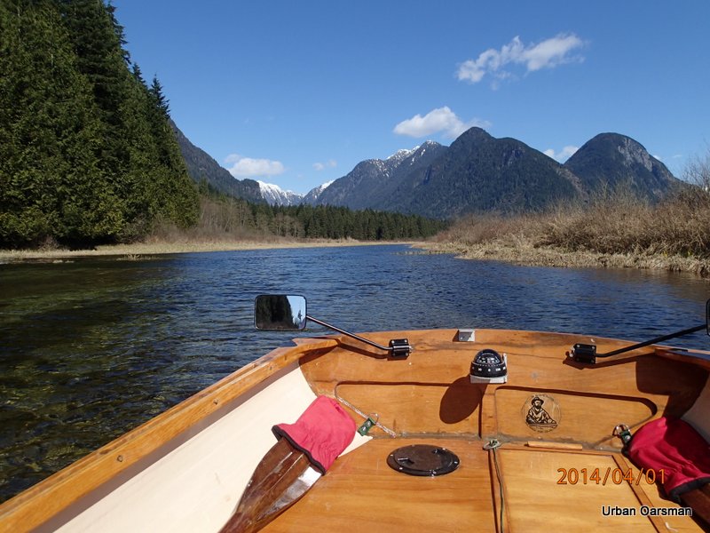
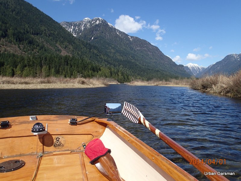
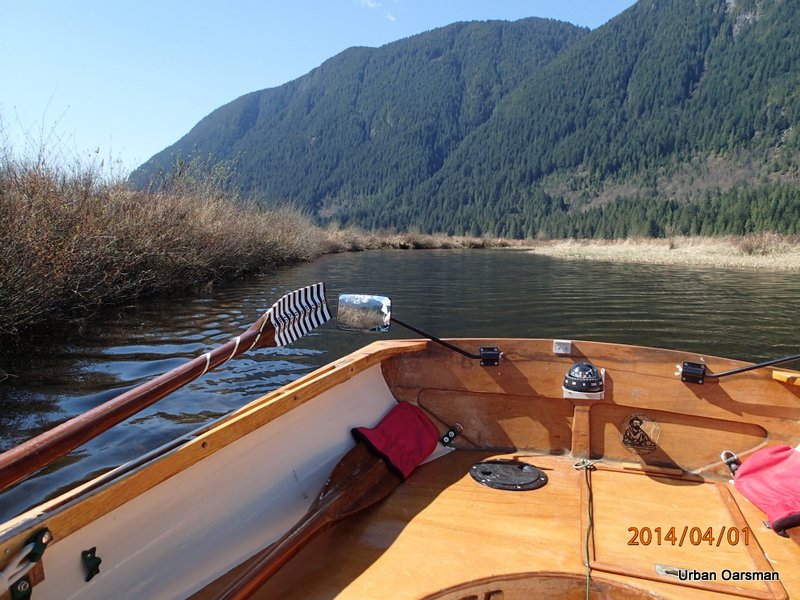
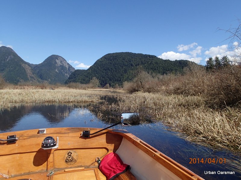
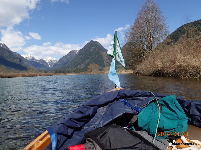
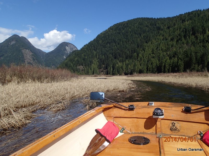
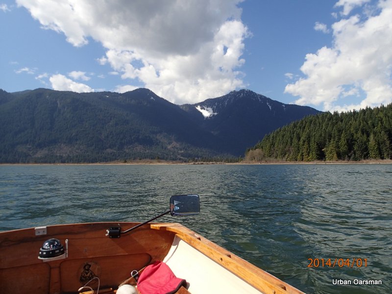
This channel is right up against the mountain. I am now heading back towards Siwash Island and the Pitt River.
Another side channel leads back towards the mountain.
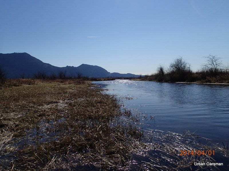
The channel moves away from the mountain and South-East into the marsh.
The channel is now heading almost directly East.
I am looking North-East. The line of trees is where the North Shore of where Widgeon Creek along to the Pitt.
The South- West view astern.
I am hugging the South bank to avoid the wind.
Looking North-West. The channel is quite wide here.
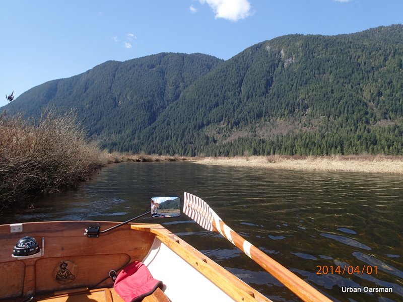
The line of trees to the West marks where the channel runs along the mountain.
This is where the channel connects with the channel around Siwash Island. Siwash Island is directly ahead.
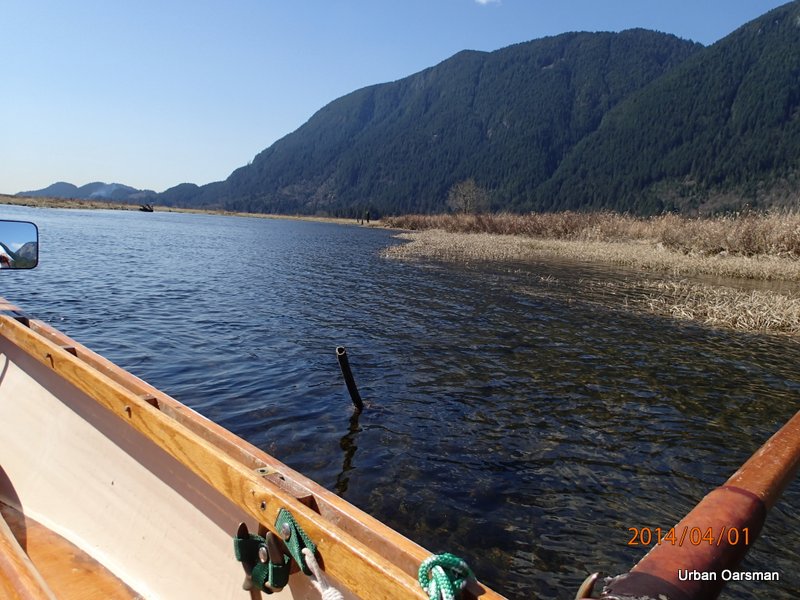
There are a lot of posts crossing here in the channel.
Sorta makes you wonder what the fence used to be for?
The channel around Siwash Island leads to the South from here.
The Widgeon Creek estuary. The stump is in the distance ahead.
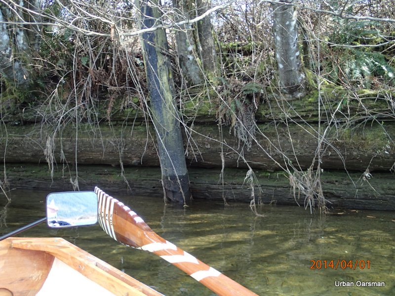
Sadly, the mirrors are not perfect. I ran into this pipe rowing to the estuary. I guess that it used to have a very informative sign attached to it. I am going to call this pipe the “Cat’s Claw”, for the scrape it put along Gwragedd Annwn’s port side. When I circumnavigated Siwash Island on my last row here, I was rowing Gwragedd Annwn backwards, saw and avoided this hazard. I was more to the East side of the channel.
The beach by the no-trespassing cabin.
The depth-gauge piling. During the hour and a half that the row has taken, the water level has dropped six inches?
I am going to see where the side channel to the West of the no-trespassing cabin leads.
Too shallow to go over the logs, must go around.

At times, a tight fit.
Around the first set of logs,
Squeeze past the second set,
Push through the reeds,
Looks wider ahead.
Into the wide spot. The water is quite shallow here.
Almost at the end of the line.
The water is too shallow to continue on a falling tide.
Back past the logs.
Almost back to the channel in front of the no-trespassing cabin.
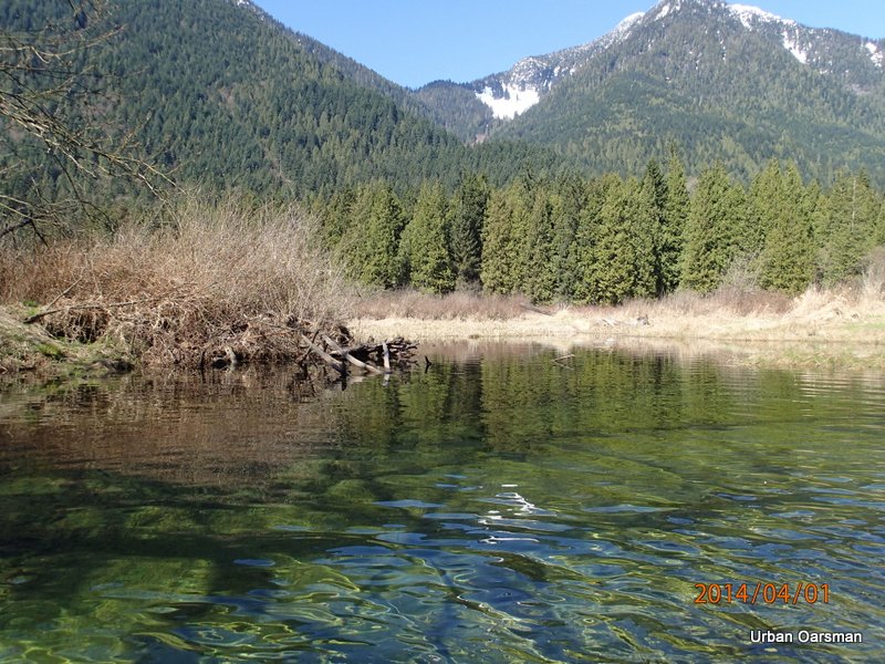
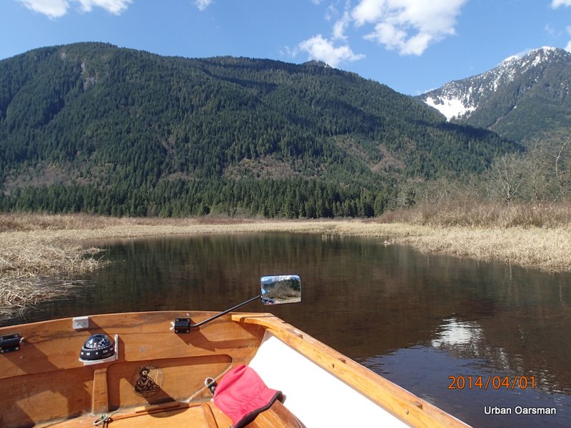
I think that it always looks prettier at high water.
There is still enough water to try the first side channel to the North-East.
I am in the channel. I am going to see how far I can get.
Wide and shallow here.
I continue heading up, travelling North-East.
Some sort of barrier. It is made of rocks.
Can I slip by? There is clear water on the other side.
Just enough room on the starboard side to slip by.
The channel carries on beyond the barrier.
Close-up showing how high the water got on this tide. I have to be careful so I do not get stuck beyond the barrier on a falling tide.
Rowing backwars for better visibility, I leave the barrier behind and explore up the channel
Past the barrier, looking South to where I have come from.
looking North-East up channel.
Near the end of the navigable channel on this tide. It seems to go right up to the edge of the hill. I will have to try this on a higher tide.
Back down the channel with the outgoing tide. There is a current flowing out of the channel and into Widgeon Creek.
The water is still quite deep where the side channel enters the main Widgeon Creek channel.
The scum-line on the logs suggest that the water has been nearly two feet higher that it is now. The water has fallen over a foot from its highest point today.
The canoeists head home too.
Good-bye no-trespassing cabin.
The depth gauge piling showing a water drop of over a foot in the three hours I have been rowing here.
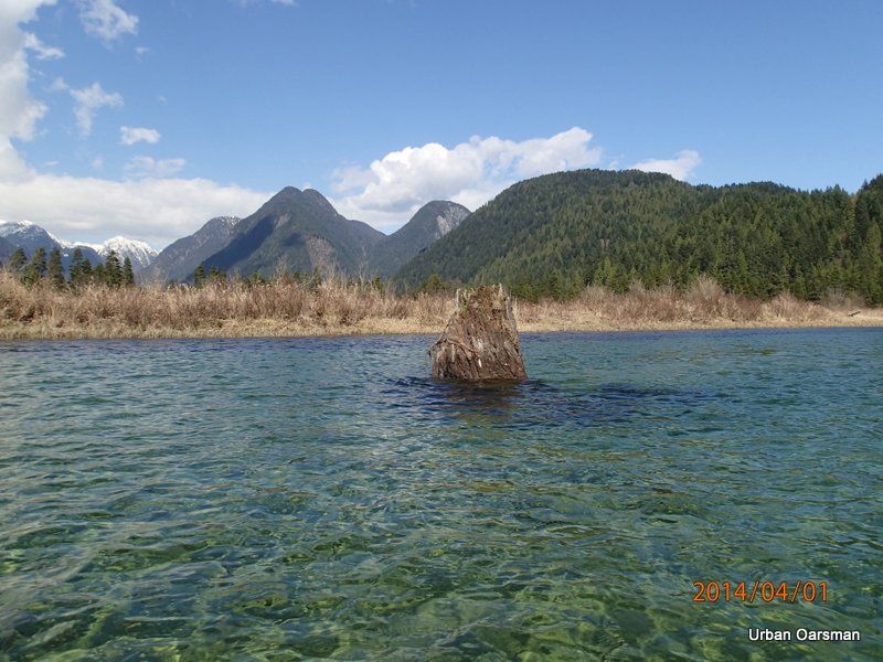
The stump shows a drop in water too.
The estuary is still quite deep. It is beginning to shallow and I stay close to the channel.
Leaving Widgeon Creek Behind.
There is a breeze up river as I cross to Grant Narrows.
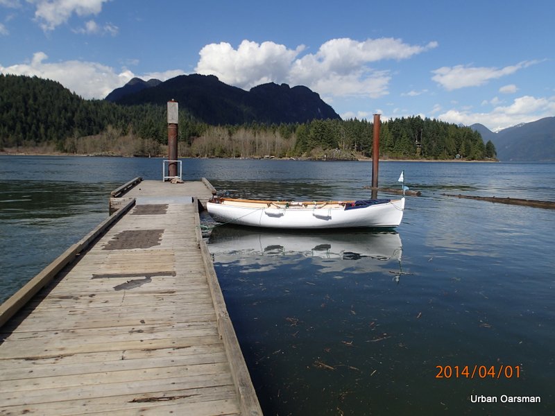
Gwragedd Annwn awaits for her trailer tied to the dock.
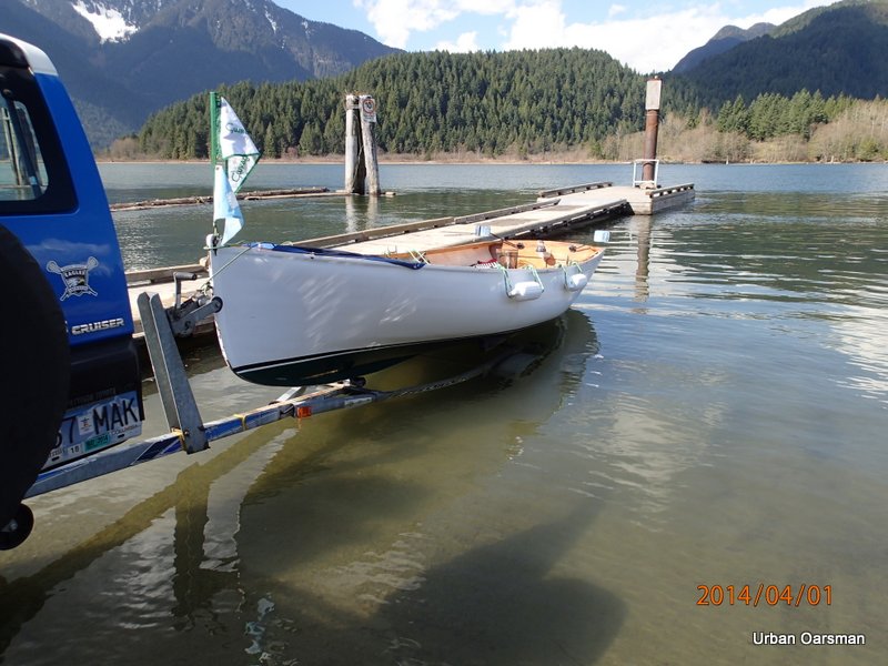
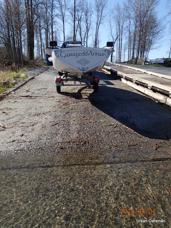
Taking Gwragedd Annwn out.
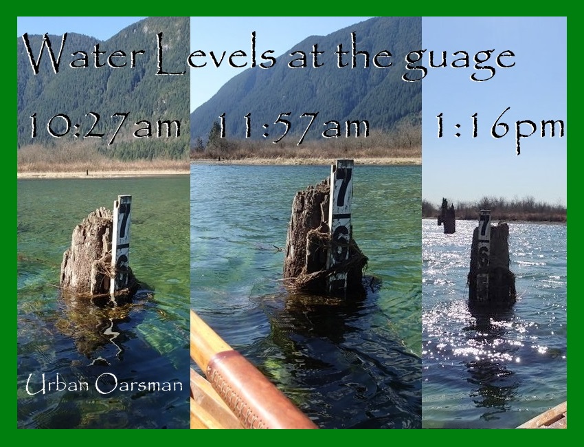
Composite photo of the Gauge piling showing water levels during the row.
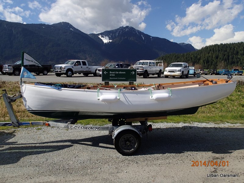
Ready to be secured for the trip home.
Good rowing to you.
Mike
