
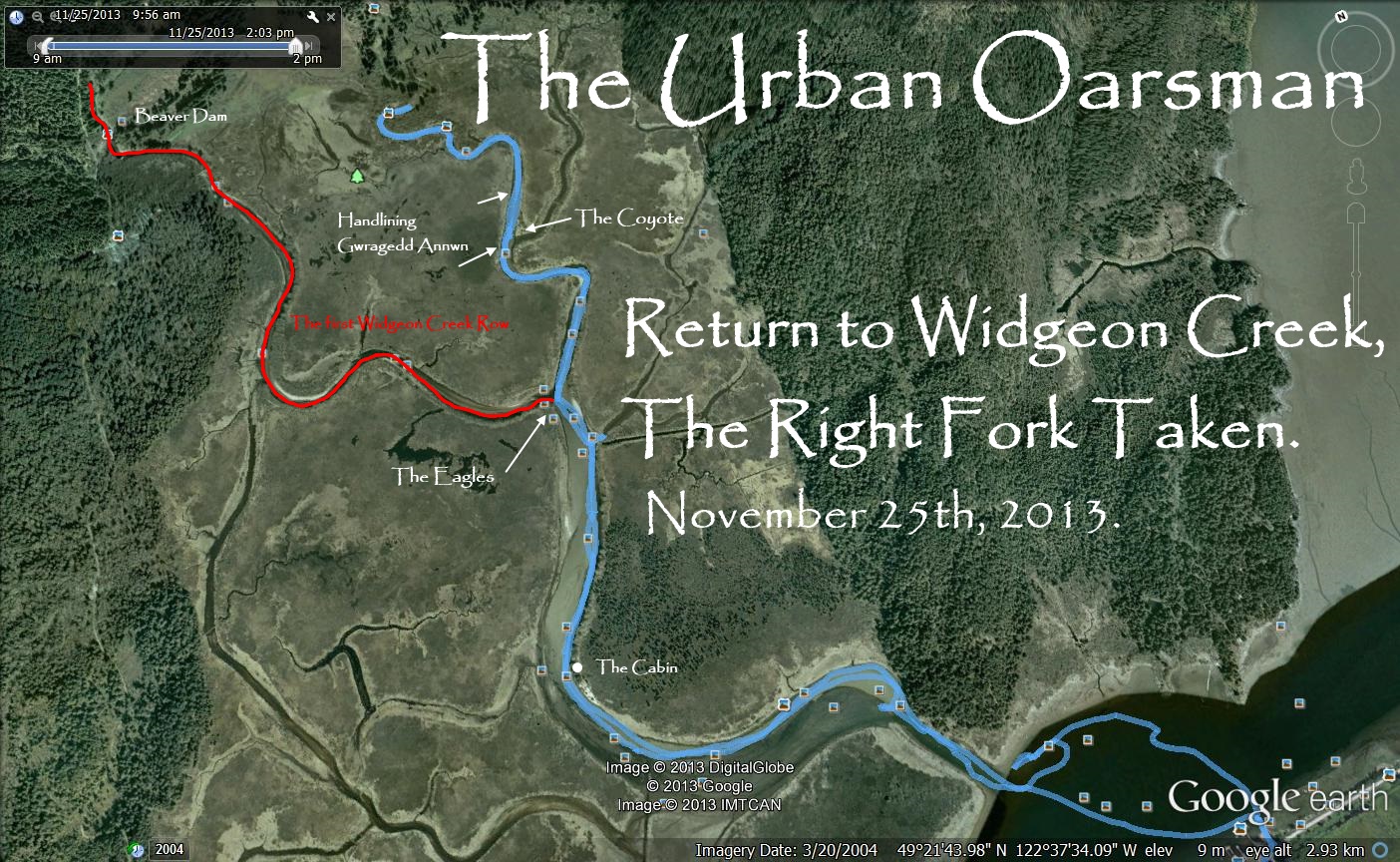
Monday, November 25th, 2013. I have returned to Widgeon Creek to explore the right fork. In my previous trip here, February 16th, 2013, Oarsman Matt, Thomas and Oarswoman Julie and I explored the left fork, going to the Widgeon Creek Campground. and beyond to the head of Widgeon Creek.
Widgeon Creek, The Right Fork
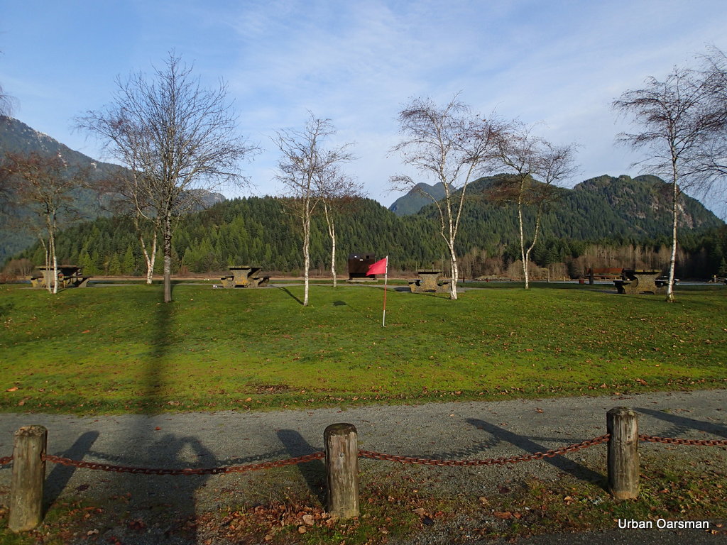
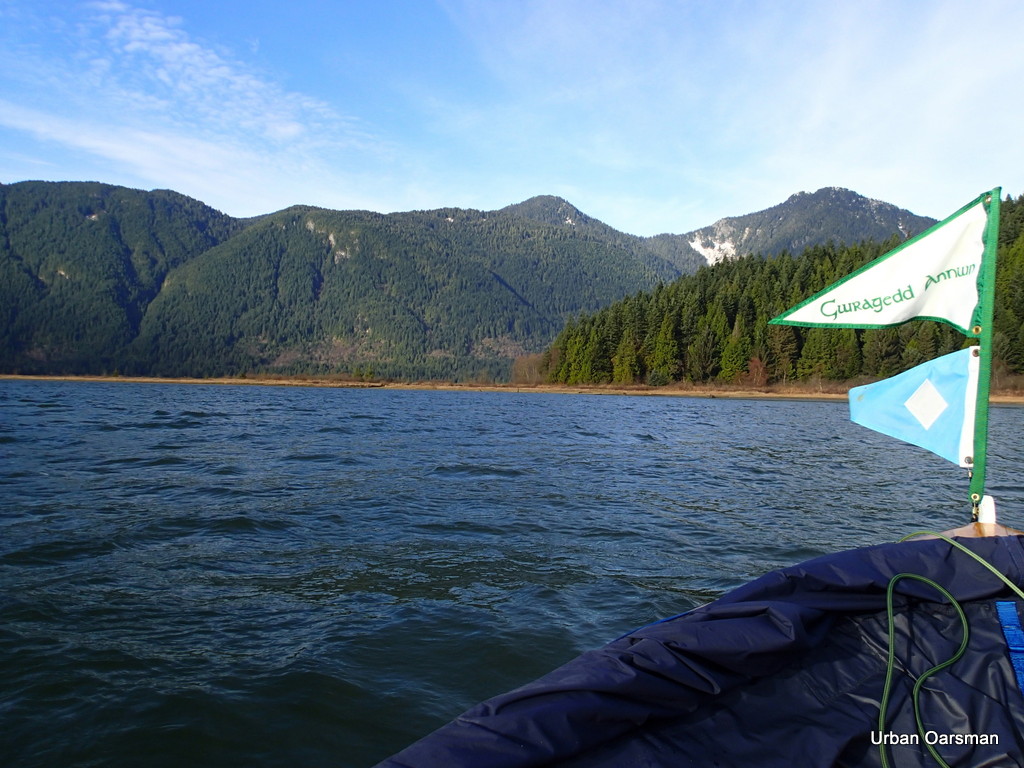
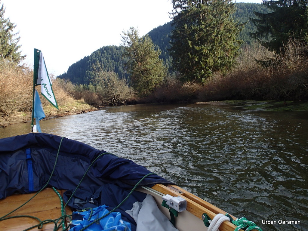
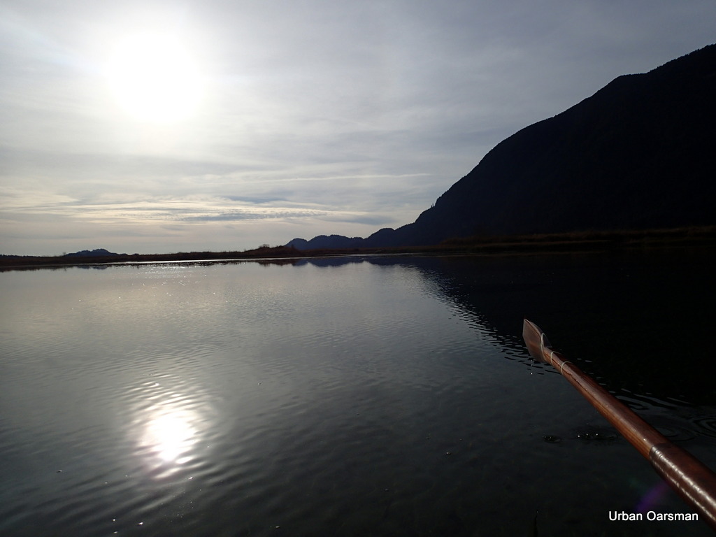
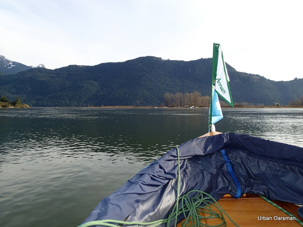
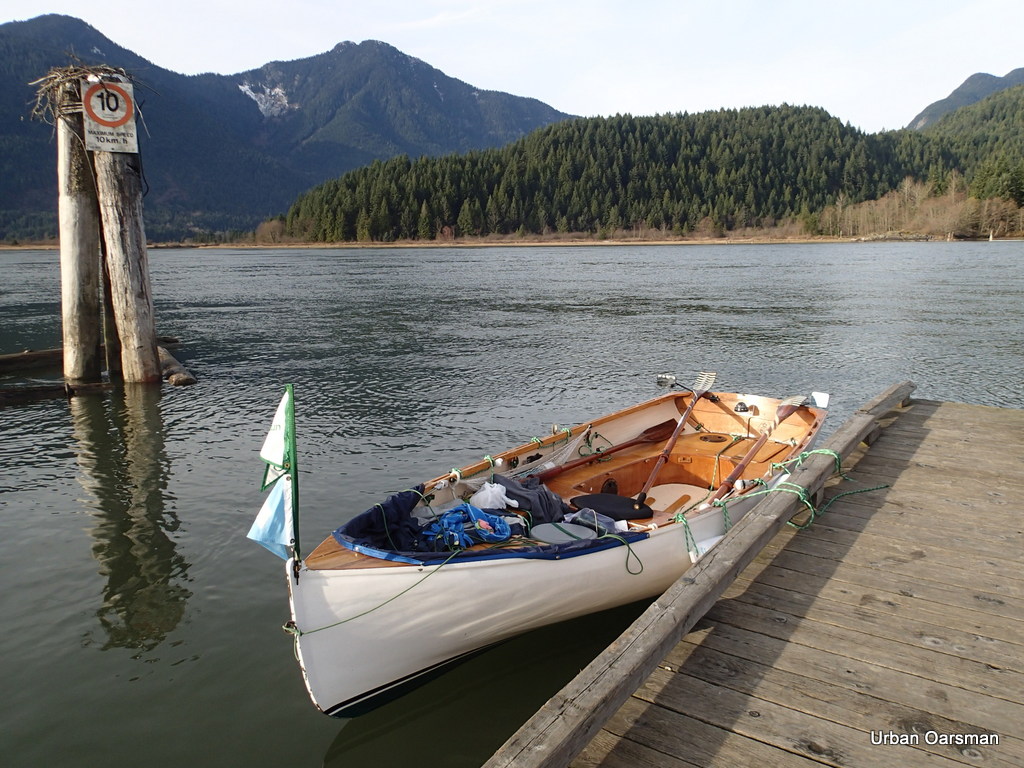
On this trip I am on my own. In this photo, the red flag shows a wind heading out of the valley, down Pitt Lake. The weather forecast is for clear, cold and calm. Even though I did not get any pictures of them, a canoe and a kayak left Grant Narrows ahead of me for Widgeon Creek.
Widgeon Creek, The Right Fork
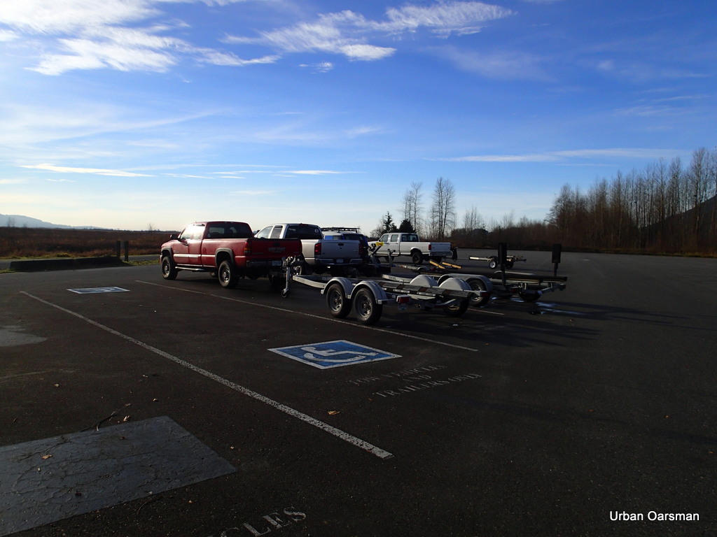
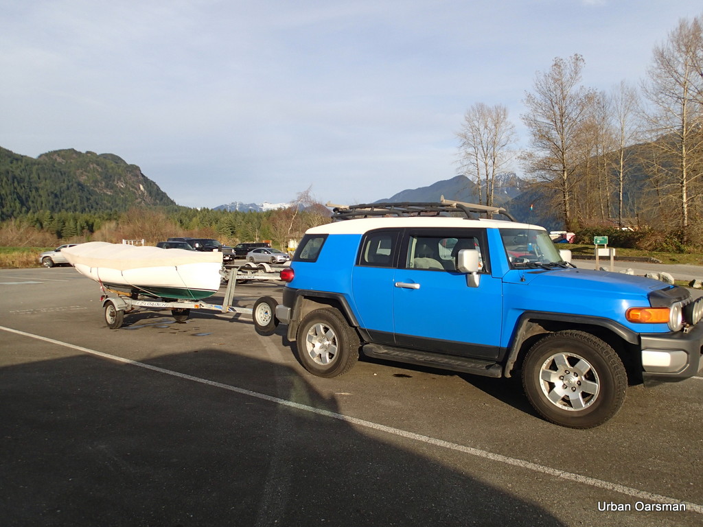
The trailer and two vehicle parking lot is not full. Only the five of us. Clear skies to the South.
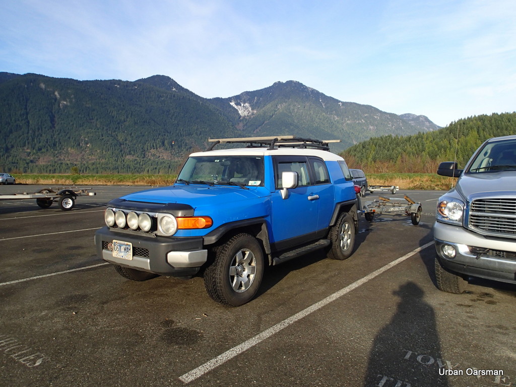
The FJ and trailer parked. The fee is $10.00. The machine was broken and I paid the attendant. The fifth vehicle and trailer are in the background.
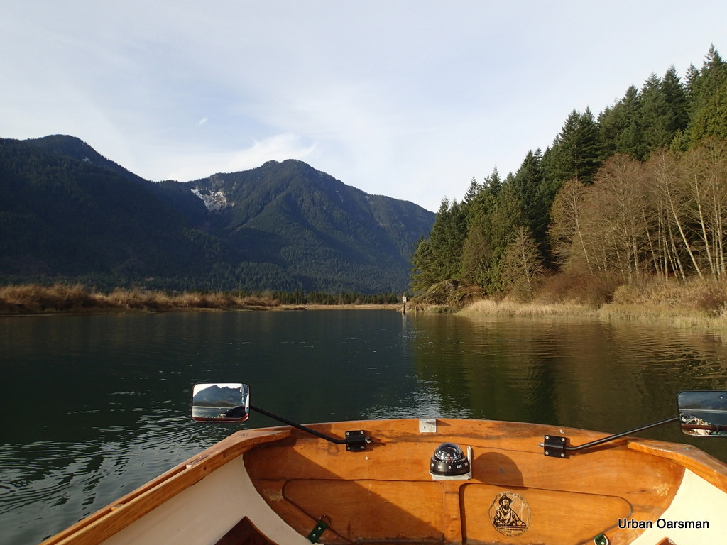
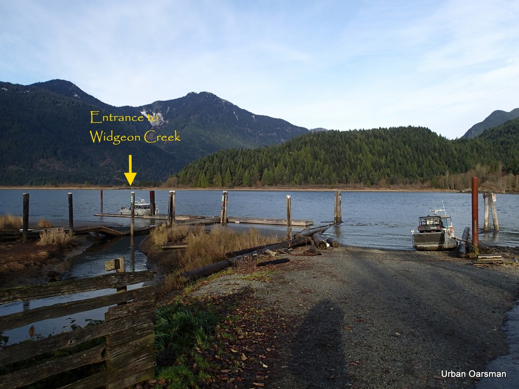 View from the top of the ramp. Widgeon Creek is .7km. to the West of The Grant Narrows Boat Launching Ramp.
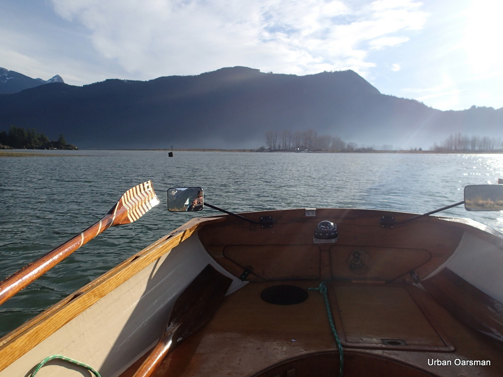
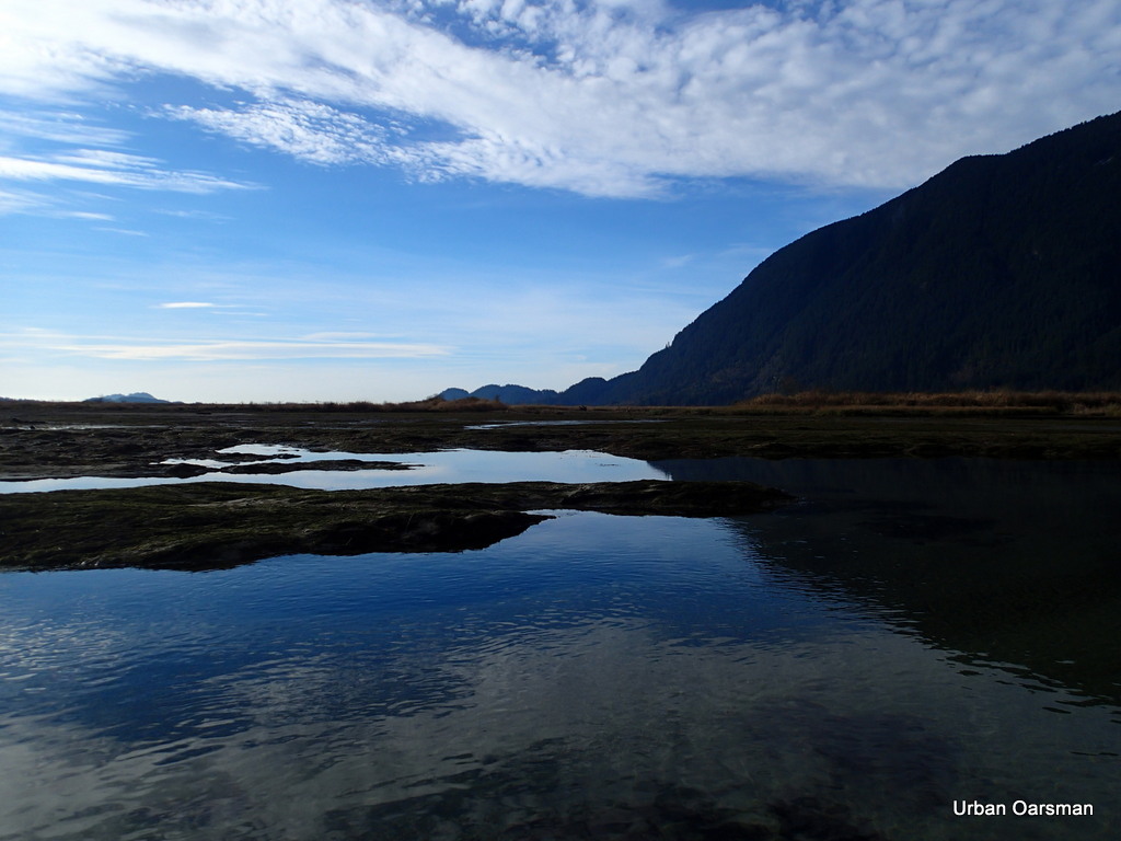
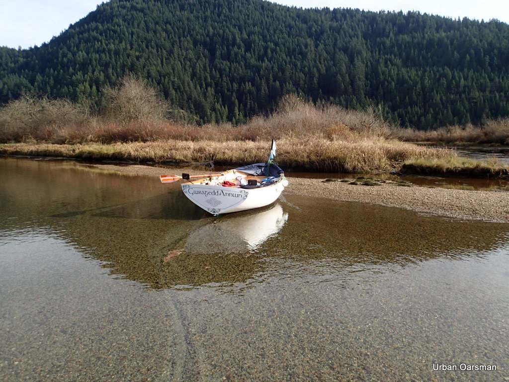
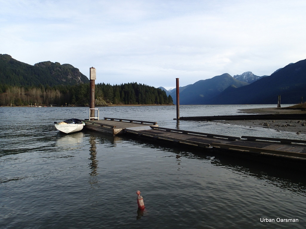 Gwragedd Annwn tied to the float. This view is looking up to Pitt Lake. The tide is high enough so that you do not see the largest actively accreting delta in the world, and Pitt Lake is the second largest fresh water tidal lake in the world. If the tide were lower, the delta would extend West across the picture, from the rocky point across the bottom of the lake to the right of the picture.
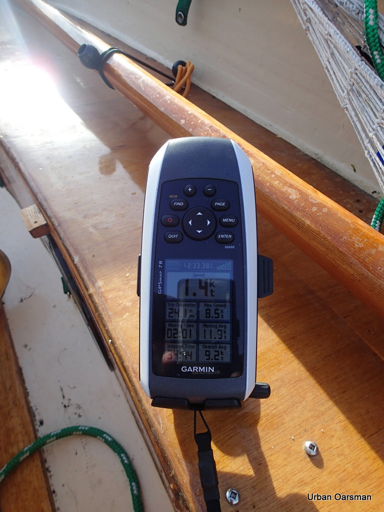
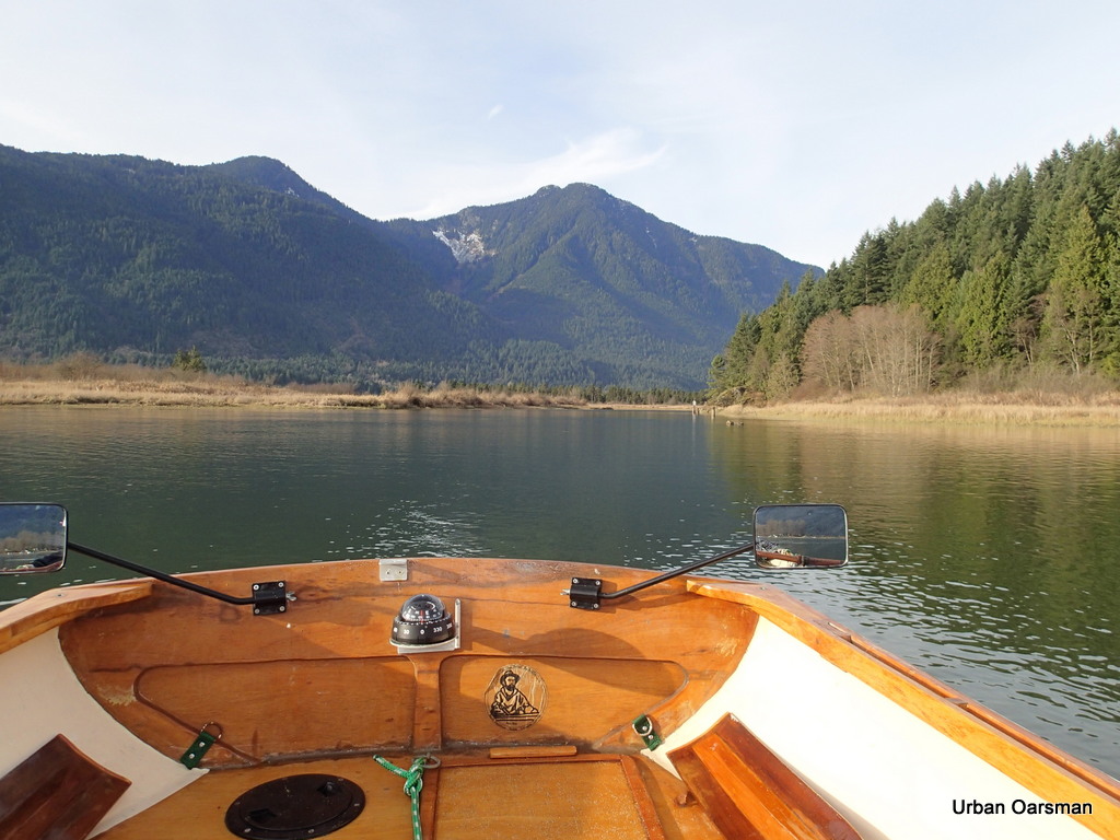
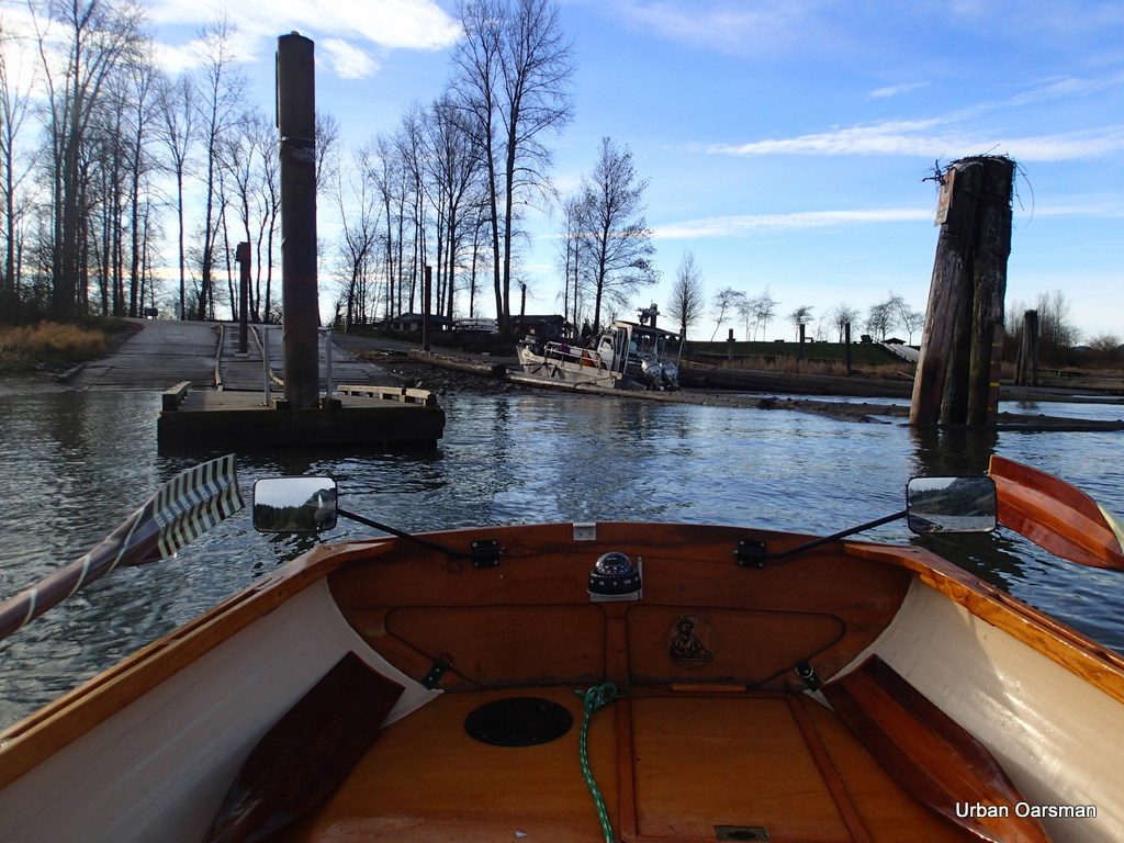 Leaving the Grant Narrows Boat Launch. The current speed is approximately one and one-half knots up river (Rising Tide).
The Tide notes for Widgeon Creek:
Tide was rising at 10:00am when I arrived.
Tide was still rising at 3:00pm when I left.
The rise from 11:00 to 1:00pm was approximately one foot.
High tide at Atkinson was at 11:08am, 4.5 metre, 14.8 feet
High tide at New Westminster was at 12:15pm., 2.9 metre, 9.5 feet.
A good time to go would be four hours after high tide at Point Atkinson or three hours after High Tide at New Westminster, give or take a bit. The levels of flow of both the Fraser and the Pitt effect the tide times.
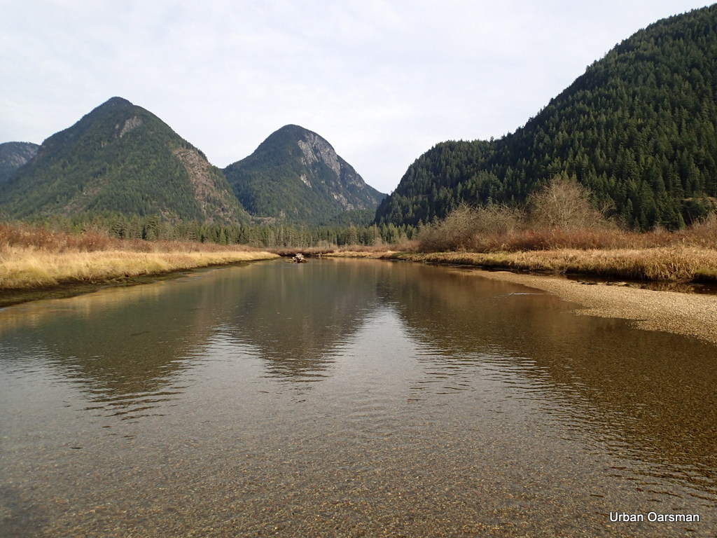
 The entrance lies ahead.
 Lesson learnt the hard way. On the North side of the channel, there are shoals. The channel must be entered from the East from out in the river. Rowing along the shore, you only hit shallows.
Widgeon Creek, The Right Fork
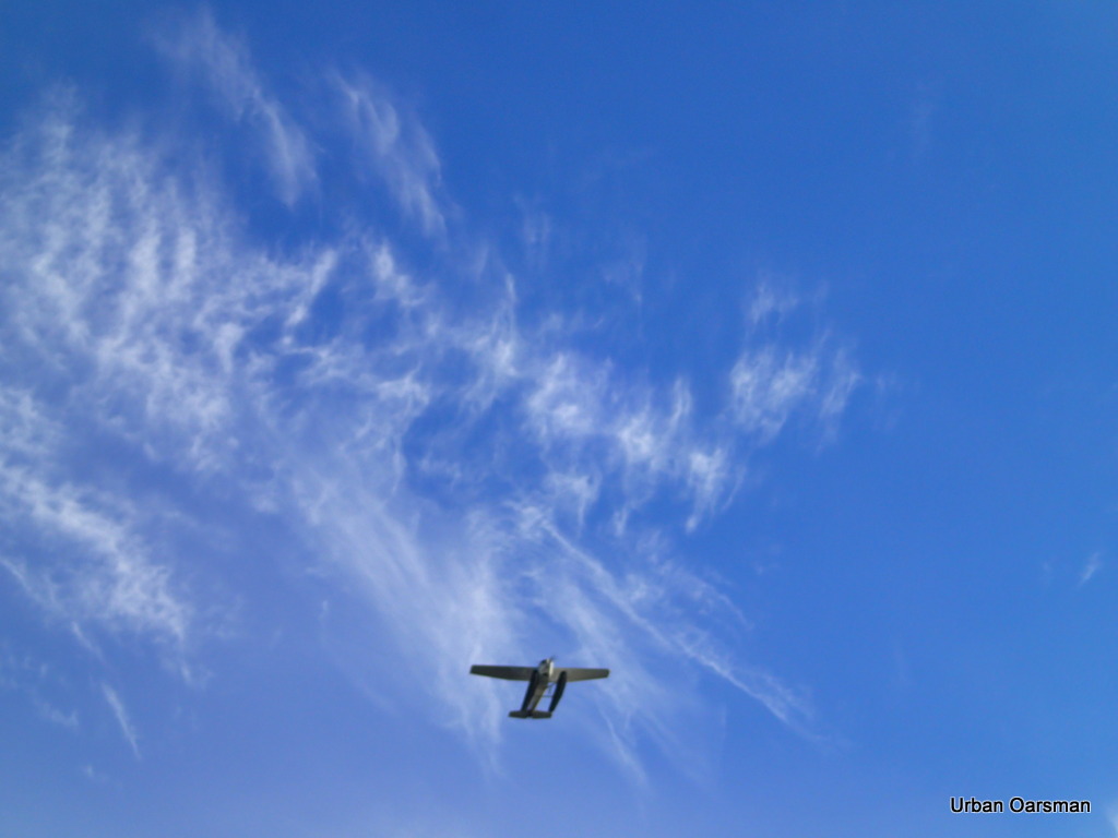
A Seaplane flies overhead going up river.
 Entering Widgeon Slough. The shoals are to the left, behind where the tree stump sticks out of the water. Grant Narrows Boat Launch is directly astern.
 Looking up the channel. The first sign is to the right. “No Power Driven Vessels”
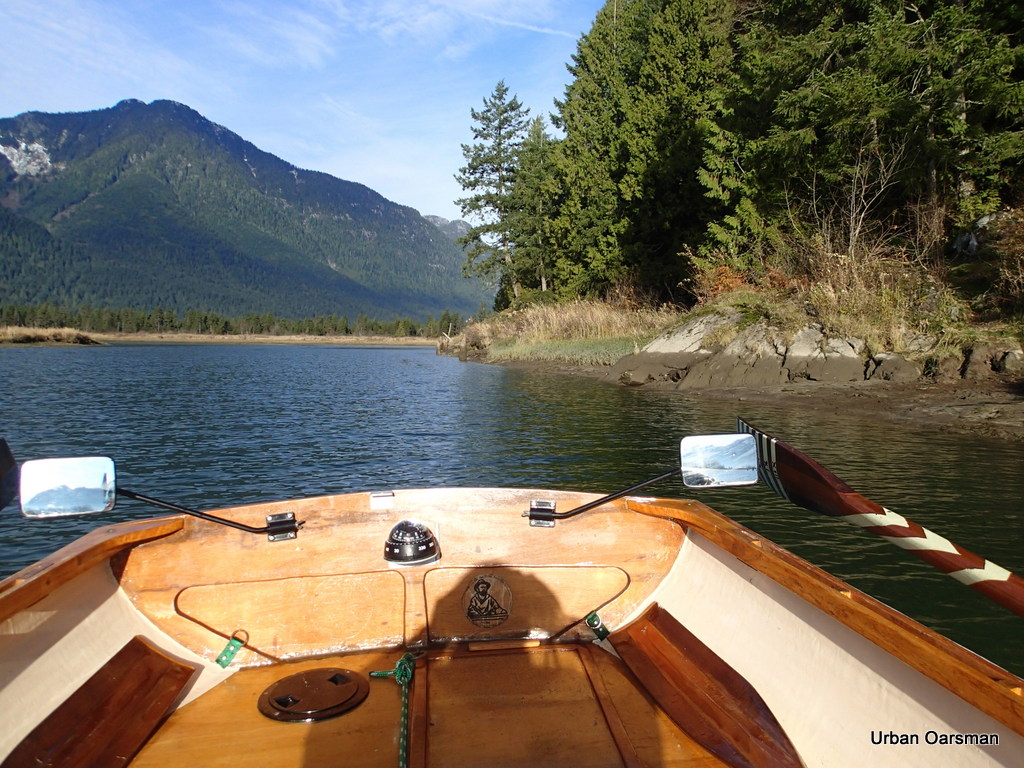 Continuing up the channel. It begins to curve to the North. The water is deep in the channel.
 At high tide, the channel is very broad. All of the reeds to the South will be covered with two or more feet of water. At this tide, I have to stay in the main channel.
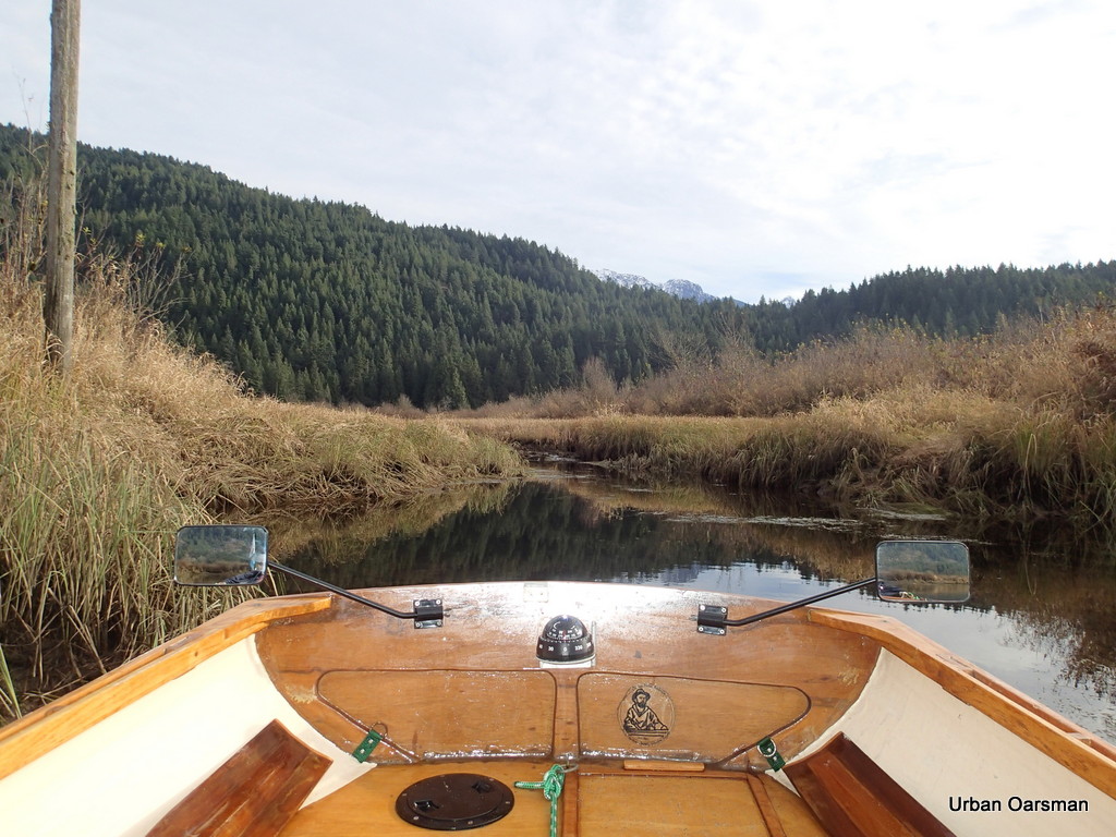
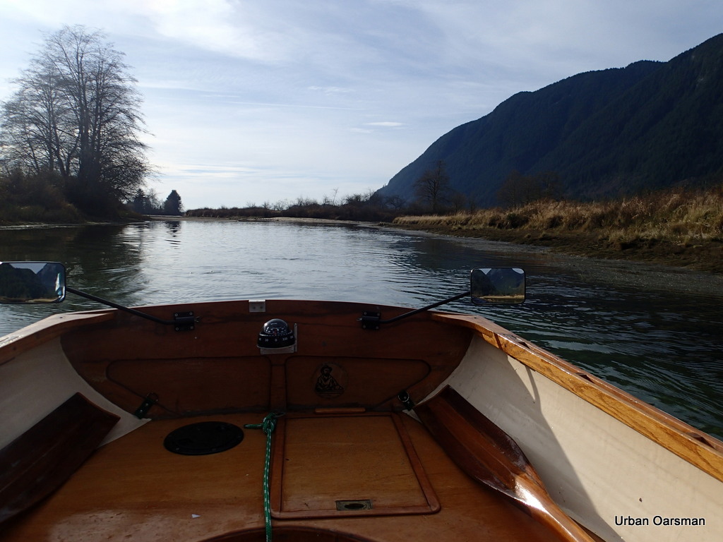
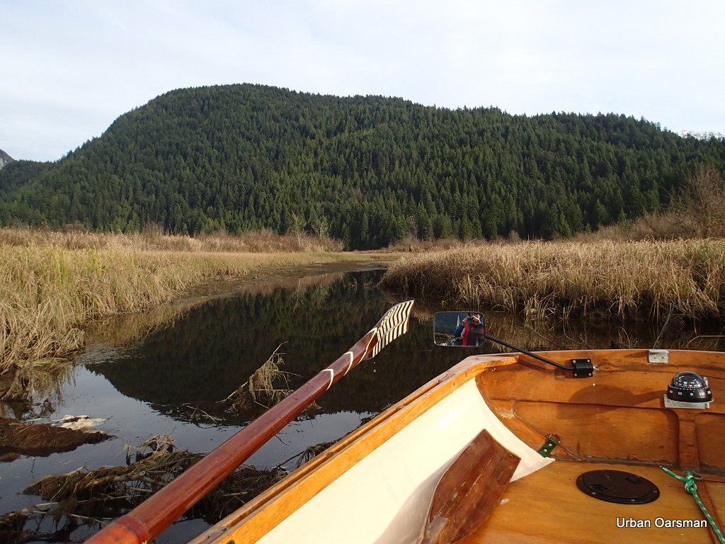
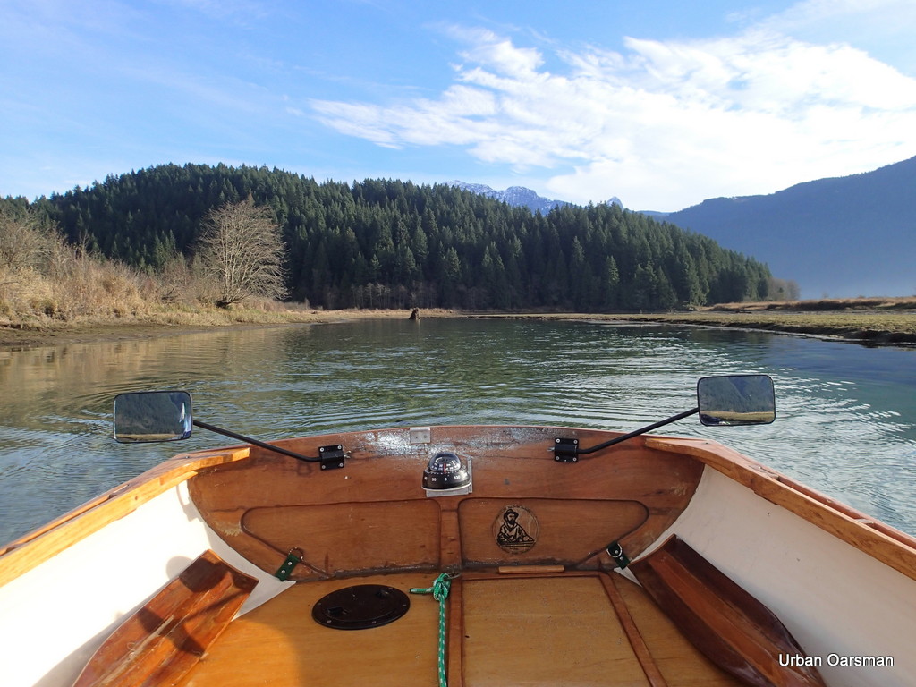 View East. I have to be careful rowing and check my forward course often.
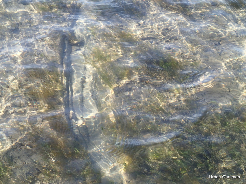
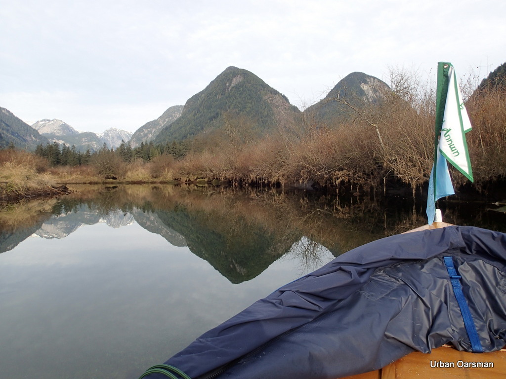
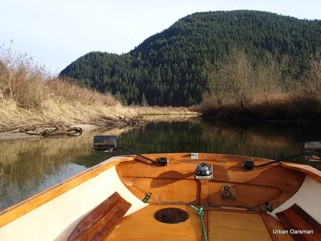
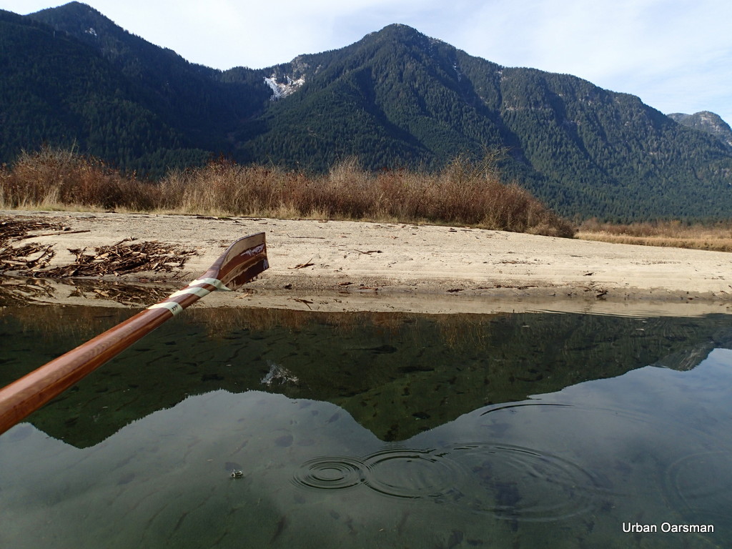
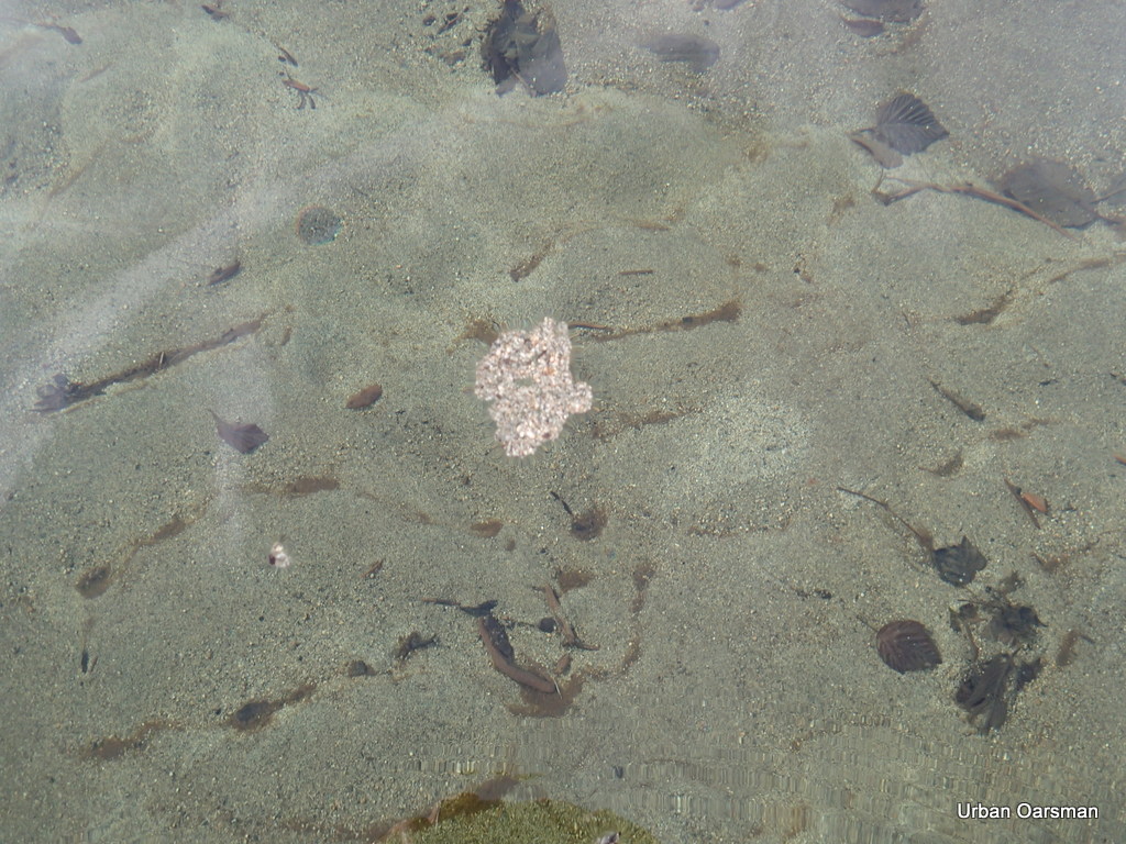
 The course ahead. The water is exceptionally clear.
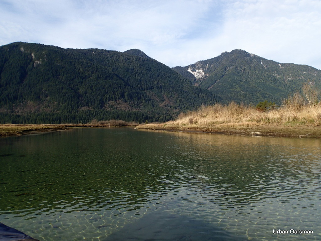
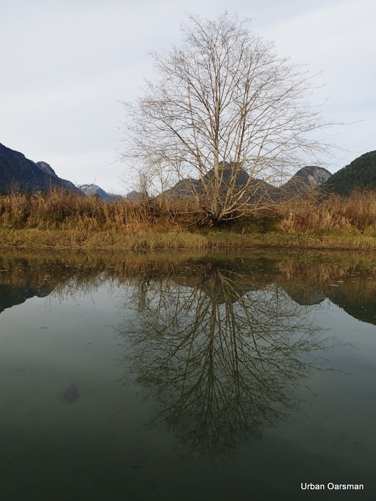
Looking South at Widgeon Slough. This slough separates Siwash Island from the mainland. The slough is only navigable for Gwragedd Annwn at high high tide.
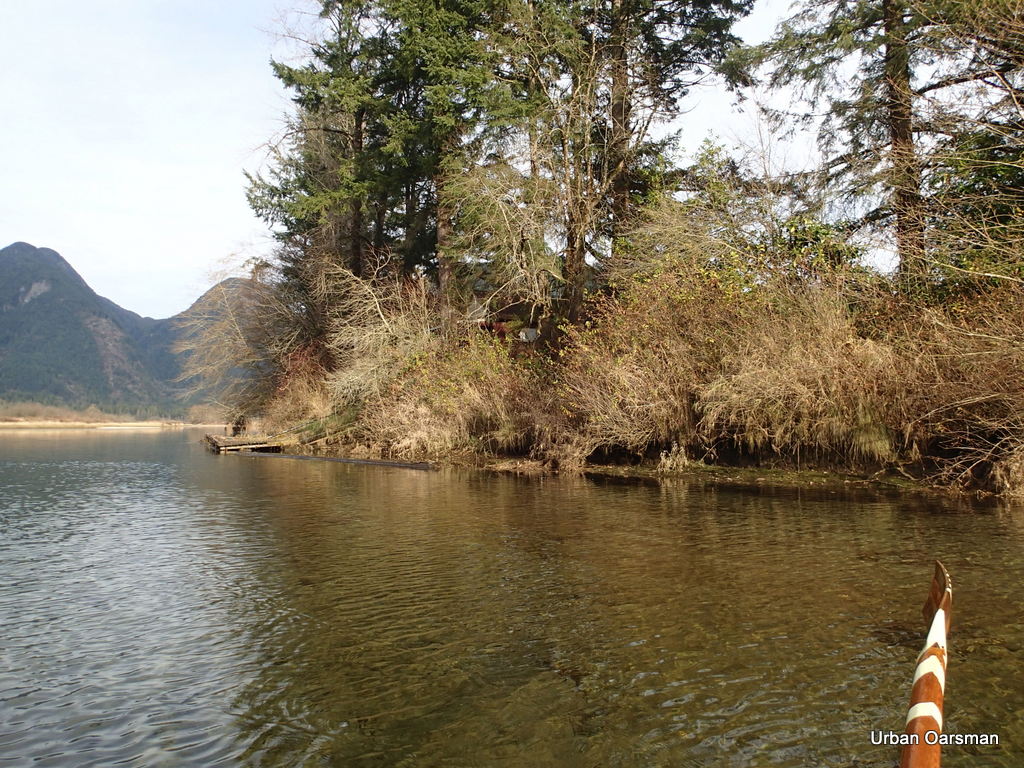
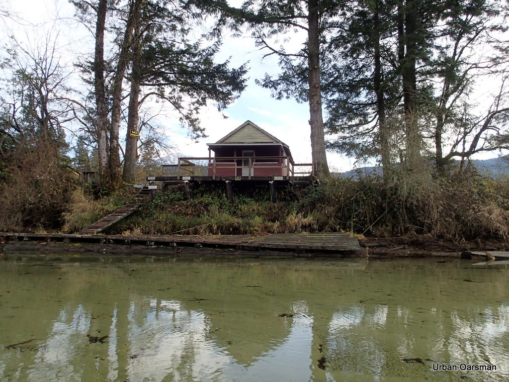 The “No Trespassing” Cabin on the East shore.
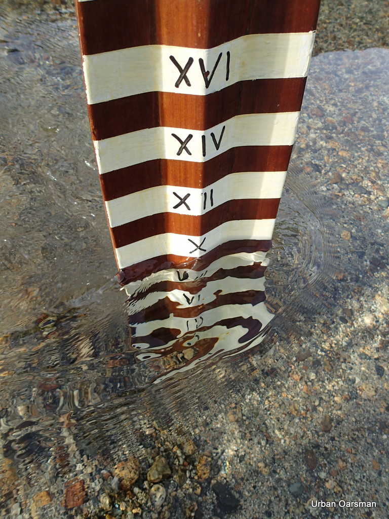
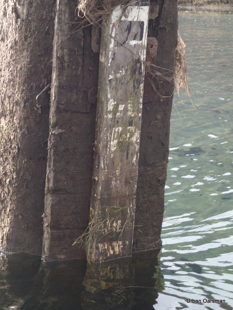
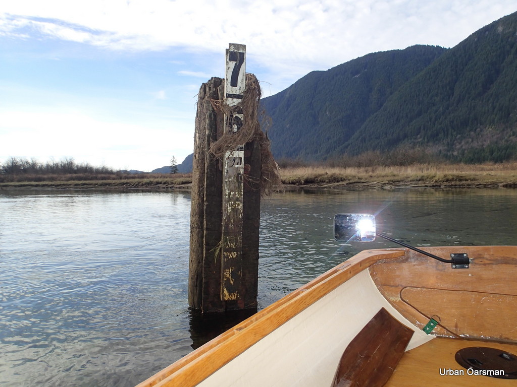 The water depth marker by the cabin. When we were here last February, the water was just below the five. There is two feet less water this time. How far will I be able to get with the water so low?
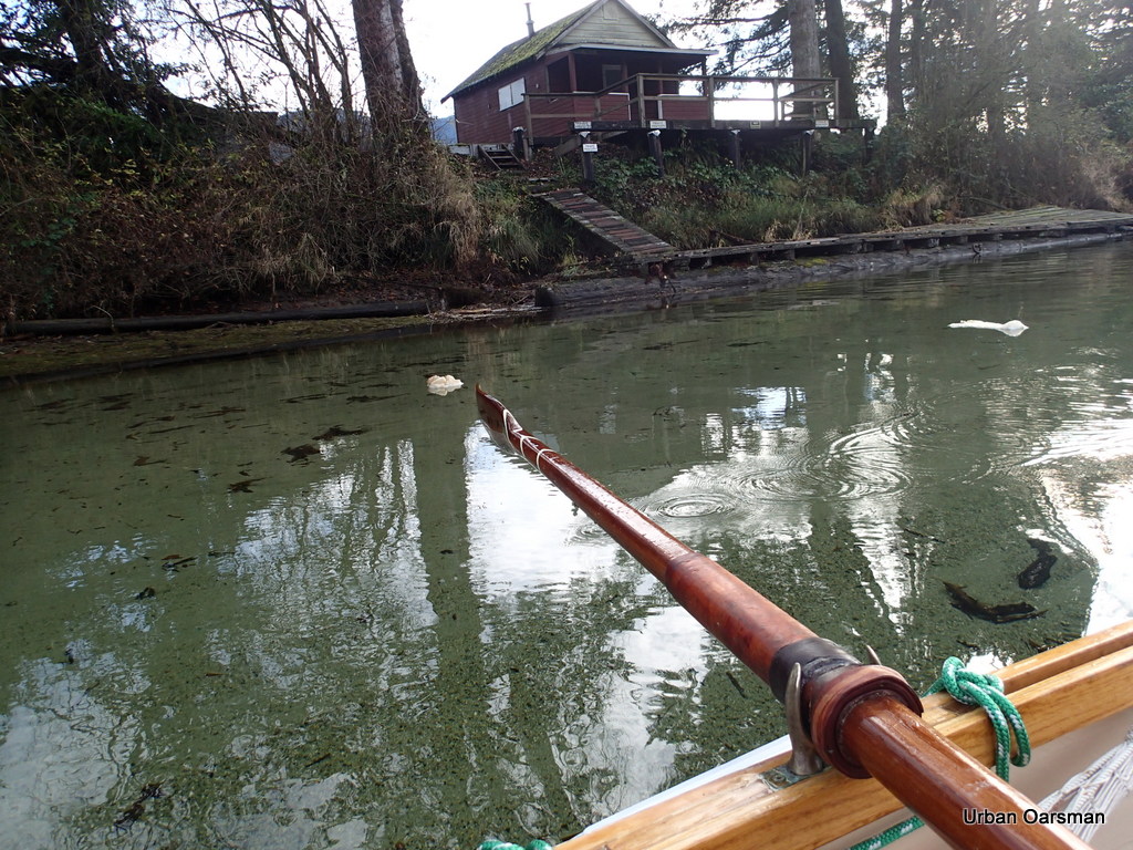 Leaving the cabin behind. Looks like she needs a little work. The white floating stuff is foam.
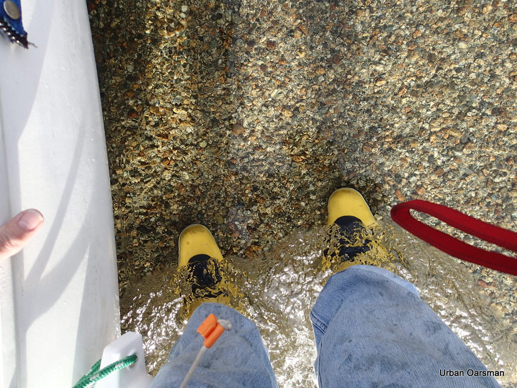
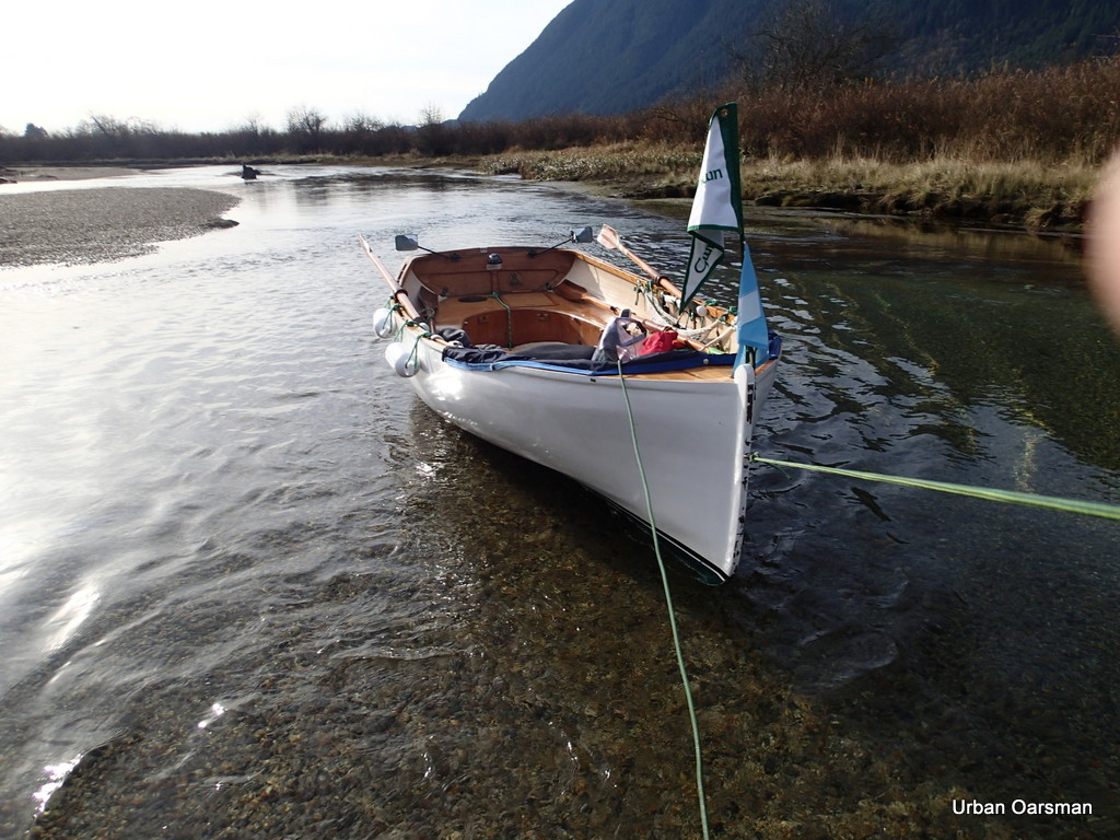
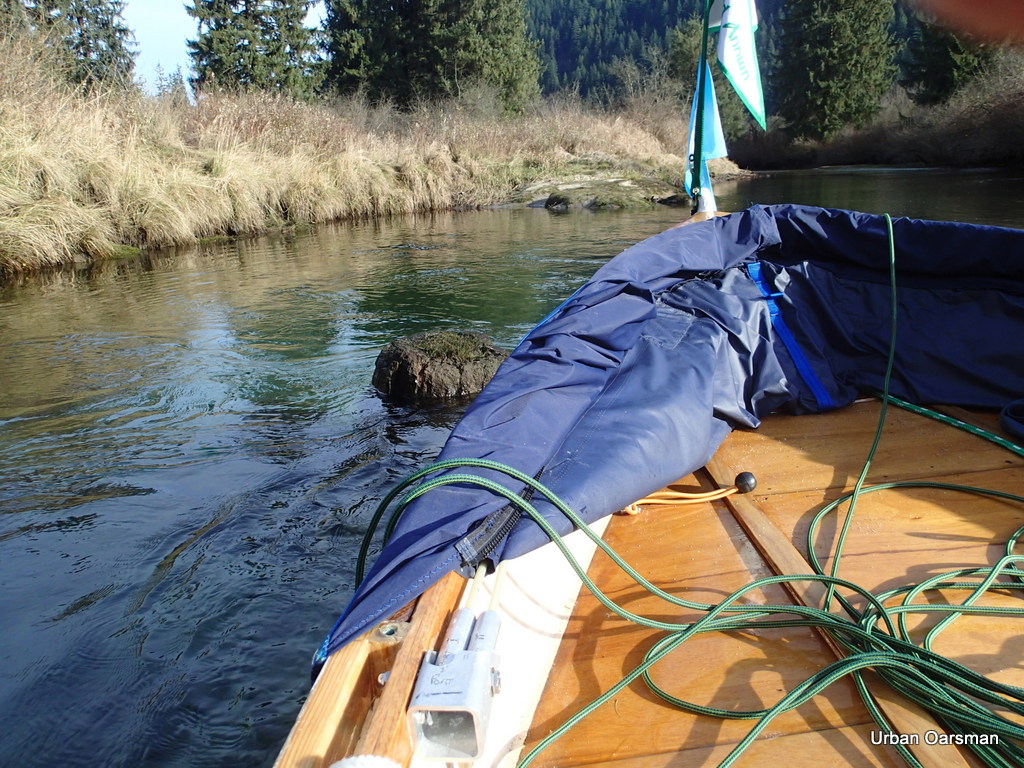
 This is a side channel to the East. There is not enough water to explore it. Gwragedd Annwn grounds out where the channel begins.
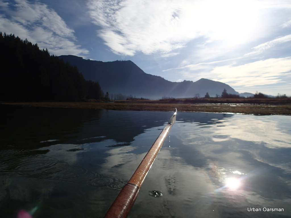
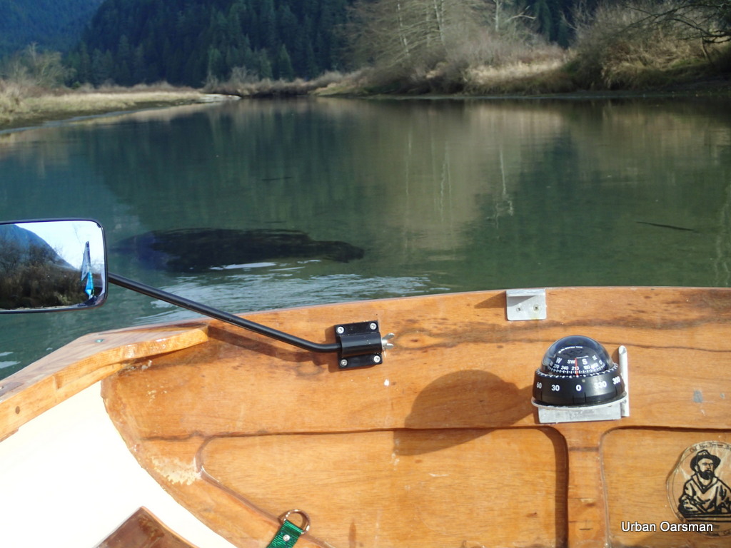
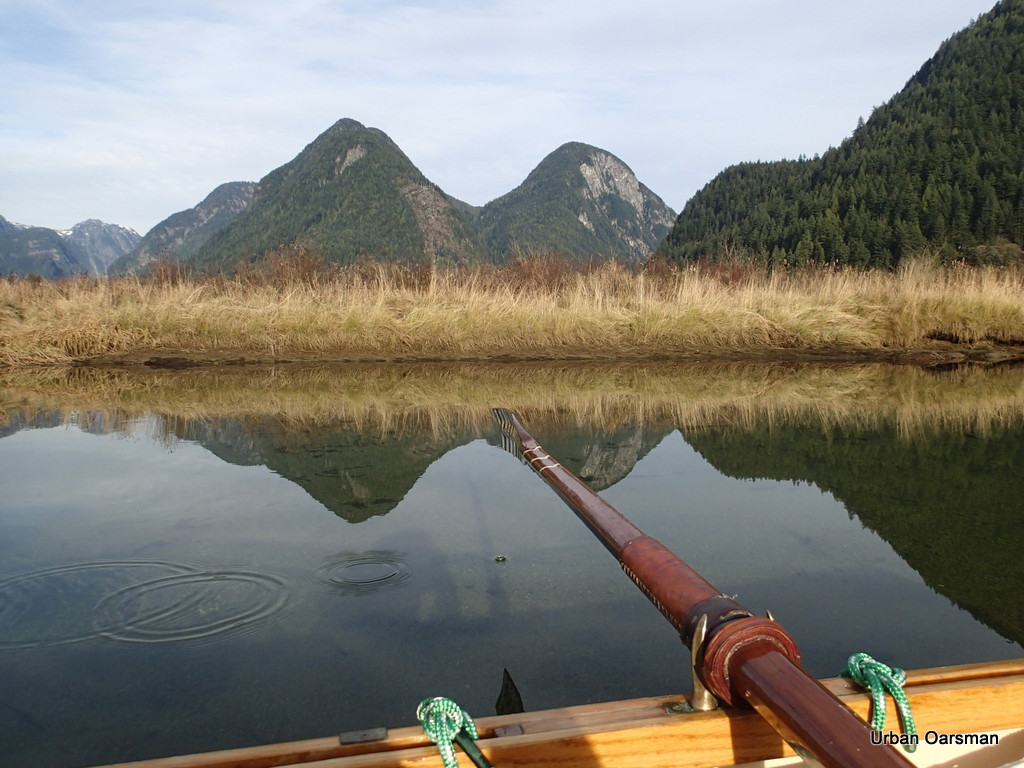
 If I am really trying to see where I am rowing, I row Gwragedd Annwn backwards. I exercise different muscles, can maintain two knots and see where I am going. Here I am trying to find the deepest channel upstream.
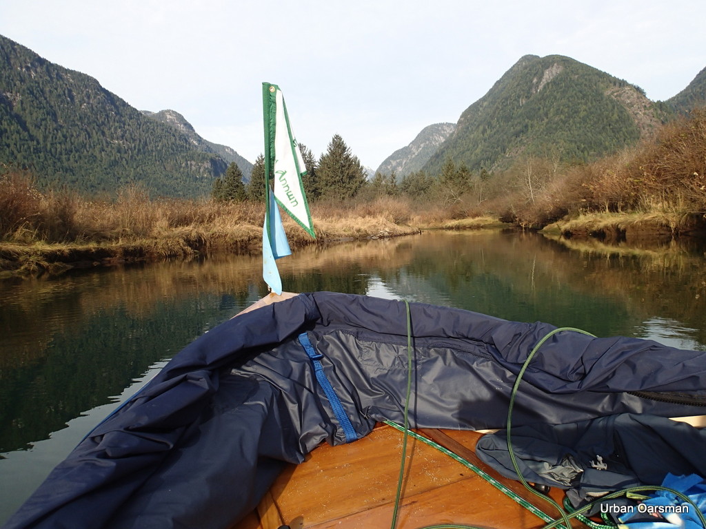
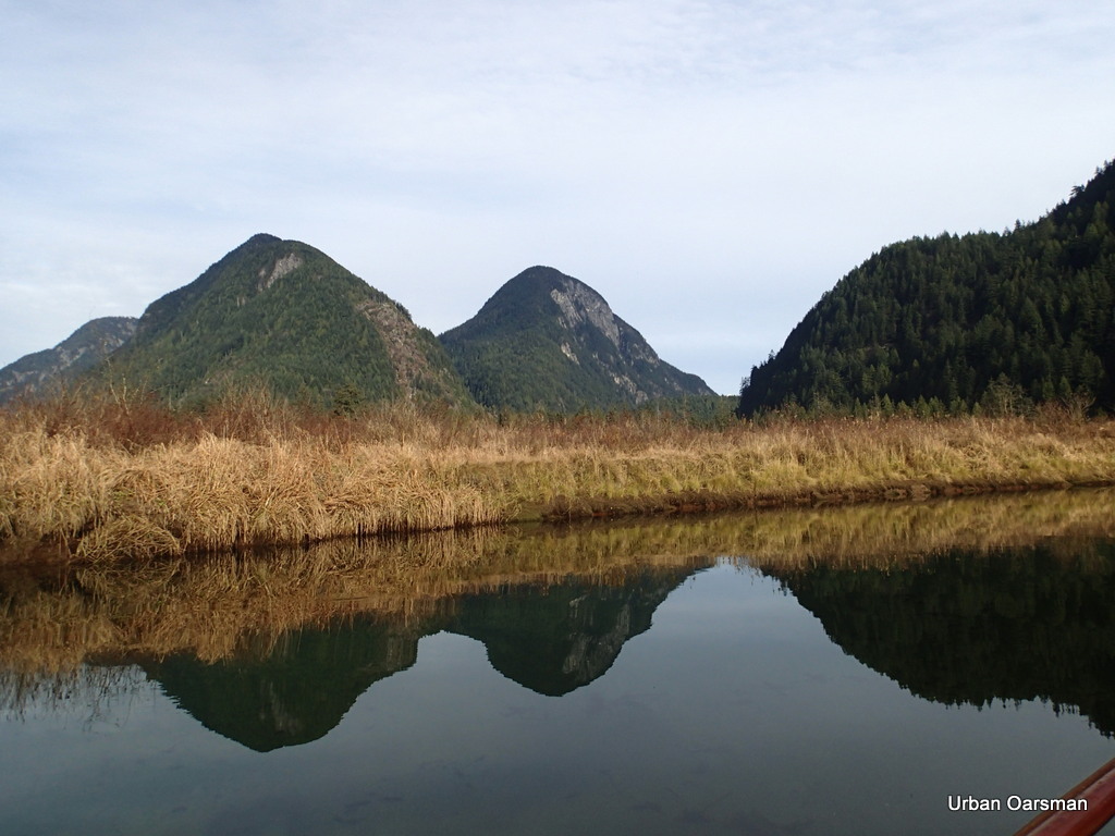
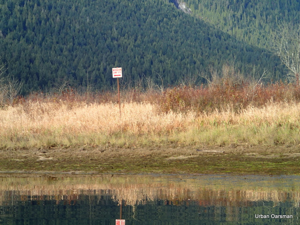 Where the right and left forks meet. The sign points to the left fork and to the Widgeon Creek Campground. I choose the right fork.
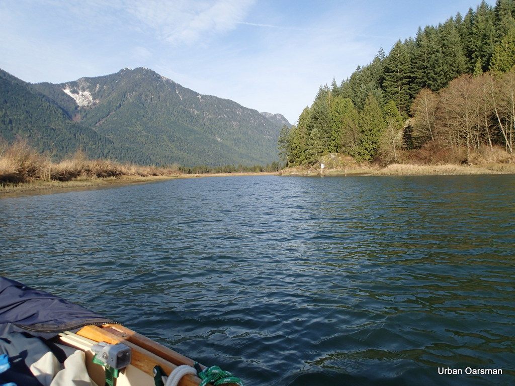
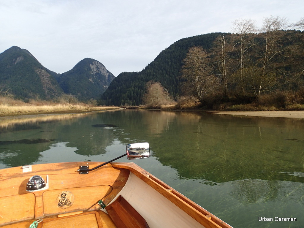
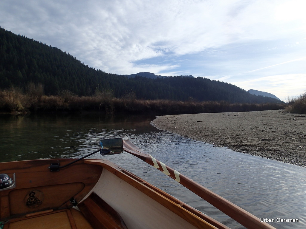
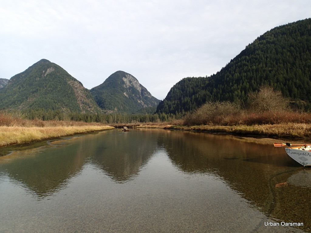
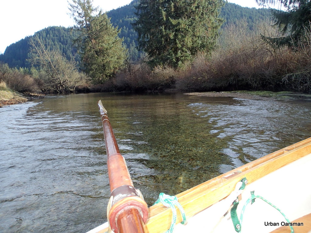
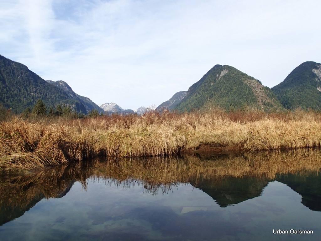
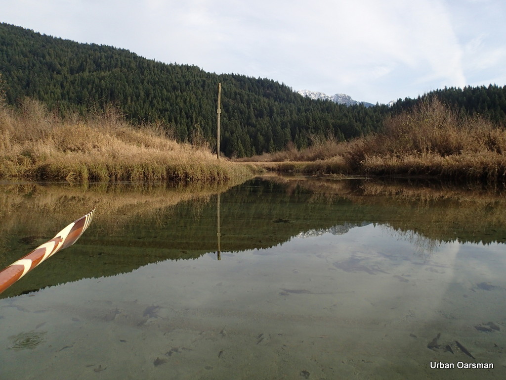
 The right fork heads North East. I really have to pay attention to staying in the channel. This fork seems to have less than half the flow. Last February the Left channel seemed to be the main one and now, in November, the Left channel still seems to be the main one.


Nice write up Mike. Wigeon isa favourite paddle for me. Pitt Lake and River have lots to offer too. Randy
http://chebaccowanderings.blogspot.ca/?m=1