


English Bay rowing conditions
-
Recent Posts
Recent Comments
- Urban Oarsman on The Urban Oarsman builds Iain Oughtred’s “Elf” Faering
- Roger on The Urban Oarsman builds Iain Oughtred’s “Elf” Faering
- Urban Oarsman on The Urban Oarsman builds Iain Oughtred’s “Elf” Faering
- Frank D’Antonio on The Urban Oarsman builds Iain Oughtred’s “Elf” Faering
- Urban Oarsman on The Urban Oarsman builds Iain Oughtred’s “Elf” Faering
Archives
- October 2025
- December 2024
- January 2024
- November 2023
- April 2023
- December 2022
- November 2022
- October 2022
- July 2020
- April 2020
- March 2020
- May 2019
- March 2019
- December 2018
- June 2018
- May 2018
- April 2018
- March 2018
- February 2018
- January 2018
- December 2017
- January 2017
- October 2015
- September 2015
- August 2015
- July 2015
- January 2015
- December 2014
- July 2014
- May 2014
- February 2014
- January 2014
- December 2013
- November 2013
- September 2013
- August 2013
- July 2013
- June 2013
- May 2013
- April 2013
The Voyages of Gwragedd Annwn:
- 2015 Blood Moon Eclipse Row. September 27th, 2015.
- 2023 Pitt Lake Paddle and Row, March 20th, 21st & 22nd.
- A dipping lug sail for Gwragedd Annwn. Making the mast part II
- A dipping lug sail for Gwragedd Annwn. Making the spar/yardarm, fitting the rudder, leeboards and the forward deck box, side buoyancy chamber access hatches.
- A rain cover for Myst
- A Sailing Rig for Gwragedd Annwn…The Mast.
- A Whale of a Row. October 4th, 2015.
- About the Urban Oarsman:
- Apricity. Building Nick Schade’s Double Paddle Canoe, Nymph.
- Baking in the Summer Sun… The Pitt River Row, July 14th, 2014.
- Bee’s Wax or Snow Guard on Oar Leathers?
- Before Gwragedd Annwn:
- Before Rowing: Snowdrop’s Epic Voyage From Harrison Lake, Down the Harrison and Fraser Rivers to Hollyburn Sailing Club
- Bolgerizing Oars.
- Brunette River/Sapperton Channel Row. March 31st, 2015.
- Building the dolly for Gwragedd Annwn
- Building the Prince William Sound Yawl.
- Building the Prince Willliam Sound Yawl II
- Captive oarlock anti-clunk method.
- Deas Island Slough
- DeBoville Solugh Row. Feburary 4th, 2015.
- Deer Lake Afternoon
- Gwragedd Annwn
- Gwragedd Annwn 2017 re-fit
- Gwragedd Annwn’s Cupped Spoon Oars.
- Leathering Oars.
- Making a birdsmouth hollow mast for Gwragedd Annwn
- Making a birdsmouth hollow mast for Gwragedd Annwn part II
- Making a birdsmouth hollow mast for Gwragedd Annwn part III
- Making a birdsmouth hollow mast for Gwragedd Annwn part IV
- Making a birdsmouth hollow mast for Gwragedd Annwn part V
- Making a birdsmouth hollow mast for Gwragedd Annwn part VI.
- Making a Sculling Notch for Gwragedd Annwn
- May 12th, 2013 Row. Around Siwash Rock and back.
- Mike and Matt, The Urban Oarsmen row Widgeon Creek
- Paul’s Canoe Part Twenty-five. Making the paddles.
- Paul’s Canoe Part Twenty-six. The launching of Paul’s Canoe
- Prince William Sound Yawl Build III
- Prince William Sound Yawl Build IV
- Prince William Sound Yawl build IX
- Prince William Sound Yawl Build V
- Prince William Sound Yawl build VI
- Prince William Sound Yawl build VII
- Prince William Sound Yawl build VIII
- Rowing Harrison Lake to Kilby Park
- Rowing in the Alpine…The Urban Oarsman Rows Callaghan Lake.
- Sapperton Channel Row. March 16th, 2015.
- Squamish to HSC II – by Kayak and Rowboat
- Squamish to the Hollyburn Sailing Club…a three day row with the “Cheetahs” of the Sea.
- Summer Sunshine Row. July 24th, 2013.
- The building and launch of “Crwban” a 10′ Herreshoff Pram.
- The Building of Gwragedd Annwn.
- The Dundarave Forest of Miracles bonfire row.
- The Equinox Row March 22nd, 2013
- The last Row of 2014. The Urban Oarsman Rows up the Coquitlam River to the Red Bridge.
- The launching of “Crwban”
- The Log of “Snowdrop” a 1952 Turner 12′ four-man lifeboat.
- The Nicomekl River Row. August 7th, 2015.
- The Pitt Marsh Short Row. June 4th, 2015.
- The Siwash Rock Sunset Row. May 31st, 2014
- The Spring Equinox Row, March 21st, 2015.
- The Swan Lake Row. April 6th, 2015.
- The Urban Oarsman
- The Urban Oarsman & Son build a Canoe part eight.
- The Urban Oarsman & Son build a Canoe part eleven.
- The Urban Oarsman & Son build a Canoe part five.
- The Urban Oarsman & Son build a Canoe part four.
- The Urban Oarsman & Son build a Canoe part nine.
- The Urban Oarsman & Son build a Canoe part seven.
- The Urban Oarsman & Son build a Canoe part six.
- The Urban Oarsman & Son build a Canoe part ten.
- The Urban Oarsman & Son build a Canoe part three.
- The Urban Oarsman & Son build a Canoe part two.
- The Urban Oarsman & Son build a Canoe!
- The Urban Oarsman & Son build a Canoe, part eighteen…………. Varnishing the seats and carrying yoke, taking the hull off of the strongback/moulds, taking apart the strongback.
- The Urban Oarsman & Son build a Canoe, part fifteen……….. “Poxy day”
- The Urban Oarsman & Son build a Canoe, part fourteen…Outer Stems.
- The Urban Oarsman & Son build a Canoe, part nineteen…………Inside and Outside gunnels, Epoxy & cloth on the inside of the hull.
- The Urban Oarsman & Son build a Canoe, part seventeen…………. Seats and carrying yoke.
- The Urban Oarsman & Son build a Canoe, part sixteen ………….“Fill the weave, fill the weave”…………..
- The Urban Oarsman & Son build a Canoe, part thirteen. Stripping the West side….
- The Urban Oarsman & Son build a Canoe, part twelve.
- The Urban Oarsman & Son build a Canoe, part Twenty four…Final varnishing of the hull and attaching the seats, thwart and the stem rings.
- The Urban Oarsman & Son build a Canoe, part Twenty one…Glueing on the outside gunnels.
- The Urban Oarsman & Son build a Canoe, part Twenty three…Final sanding of the hull and glueing on the brass keel strip.
- The Urban Oarsman & Son build a Canoe, part Twenty two…..…Final shaping of the gunnels and glueing on the decks.
- The Urban Oarsman & Son build a Canoe, part Twenty…………Weaving the Babiche pattern for the seats, tapering the outside gunnels and final outside hull sanding.
- The Urban Oarsman asks: “How deep is the water?”
- The Urban Oarsman builds Brenne Clamps.
- The Urban Oarsman builds Iain Oughtred’s “Elf” Faering
- The Urban Oarsman Explores Pitt Marsh. Feburary 11th, 2015.
- The Urban Oarsman Launches Gwragedd Annwn
- The Urban Oarsman makes Bailers
- The Urban Oarsman Makes Wood & Leather Bailers for Gwragedd Annwn.
- The Urban Oarsman Posts page.
- The Urban Oarsman returns to Still Creek
- The Urban Oarsman returns to Widgeon Creek again…The Highest water yet. June 5th, 2015.
- The Urban Oarsman rows (and sails!) to the top of Pitt Lake with the Hollyburn Sailing Club 2019 May Long Weekend Paddle.
- The Urban Oarsman rows Burnaby Lake
- The Urban Oarsman rows from Hollyburn Sailing Club to Sandy Cove
- The Urban Oarsman rows from Hollyburn Sailing Club to the North Arm Jetty, BC Day, August 5th, 2013
- The Urban Oarsman Rows Gwragedd Annwn in Pender Harbour during “Pender Harbour Days”.
- The Urban Oarsman Rows Gwragedd Annwn off the chart Exploring the Alouette River past the Neaves Road Bridge.
- The Urban Oarsman Rows Gwragedd Annwn off the chart Exploring the North & South Alouette . The July 22nd, 2014 row. The Alouette.
- The Urban Oarsman Rows Gwragedd Annwn off the chart Exploring the North Alouette River.
- The Urban Oarsman rows Gwragedd Annwn off the chart Exploring the North Alouette River. The August 11th, 2014 Row.
- The Urban Oarsman Rows Gwragedd Annwn up the Alouette, off the chart, to Bordertown
- The Urban Oarsman rows the Maelstrom to Lighthouse Park
- The Urban Oarsman rows the Mamquam Blind Channel in Squamish, B.C.
- The Urban Oarsman rows to the Jericho Sailing Centre for a Beer and a Burger
- The Urban Oarsman rows to the Vancouver Wooden Boat Festival August 22nd to 25th, 2013.
- The Urban Oarsman, The First Row of 2015.
- The Urban Oarsman. Grey Day Row to False Creek, Circumnavigation Siwash Rock and a Wrecked Sailboat on the Last Row of the Year to False Creek. December 28th, 2013
- The Urban Oarsman. Return to Widgeon Creek, The Right Fork Taken. November 25th, 2013
- The Urban Oarsman. The Dog Days of Summer Row.
- The Urban Oarsman. The Fog Row, October 18th, 2013
- The Urban Oarsman. The Last Row of 2013 with Porpoises and the First Row of 2014 with the Hollyburn Sailing Club.
- The Urban Oarsman. The Siwash Island Circumnavigation.
- The Widgeon Creek High Tide Row. January 4th, 2014
- The Widgeon Creek Ice Row, Both Forks. In the Oarstrokes of Shackleton. December 7th, 2013
- Urban Oarsman sails, rows and tows on the 2022 Barefoot Raid
- Widgeon Creek. The High Water Row. April 1st, 2014.
- Widgeon Creek…High Fraser Flow Row. June 23rd, 2014.
The Urban Oarsman rows from Harrison Lake to Kilby Park
Posted in Under the Keel....
Comments Off on The Urban Oarsman rows from Harrison Lake to Kilby Park
The Urban Oarsman rows Deas Island Slough and Green Slough
Deas Island Slough and Green Slough.
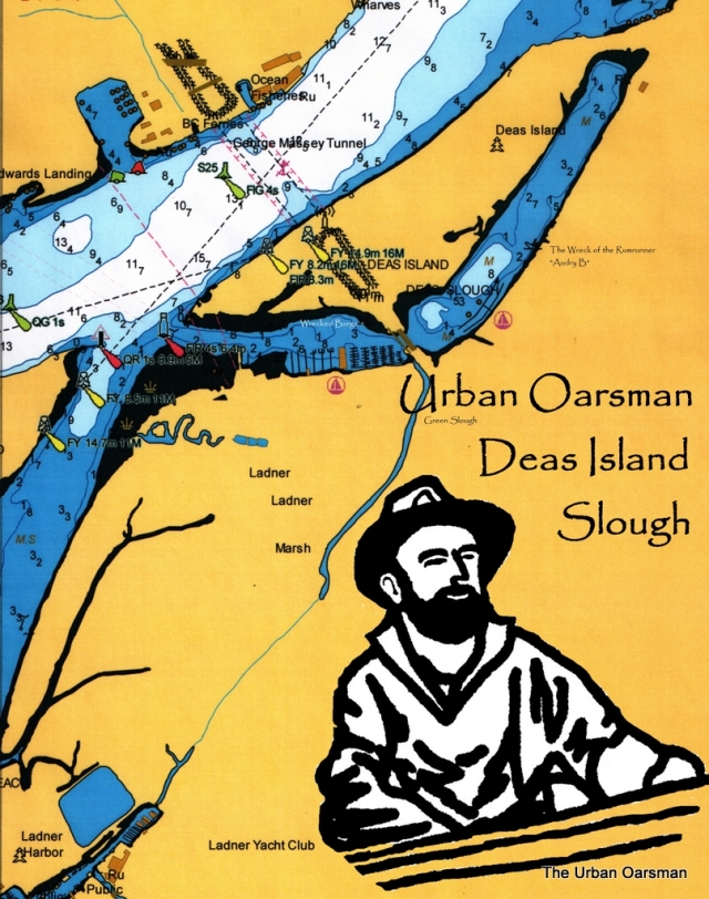
Deas Island Slough / Green Slough.
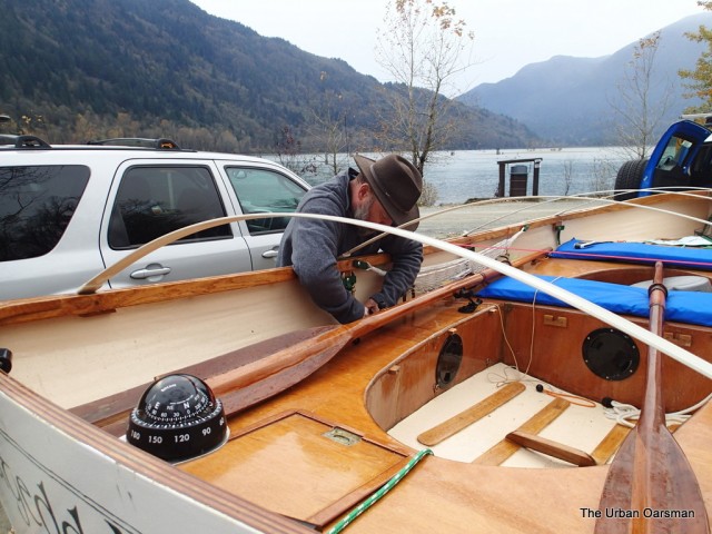
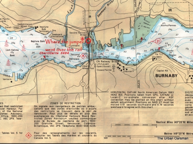
The jumper incident. 10:13am, I see a man go over the West side of Second Narrows Bridge. The RCMP Officer was only seconds behind him. Almost catches him. But misses grabbing his jacket….
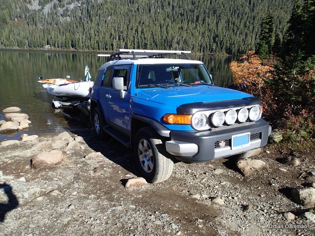
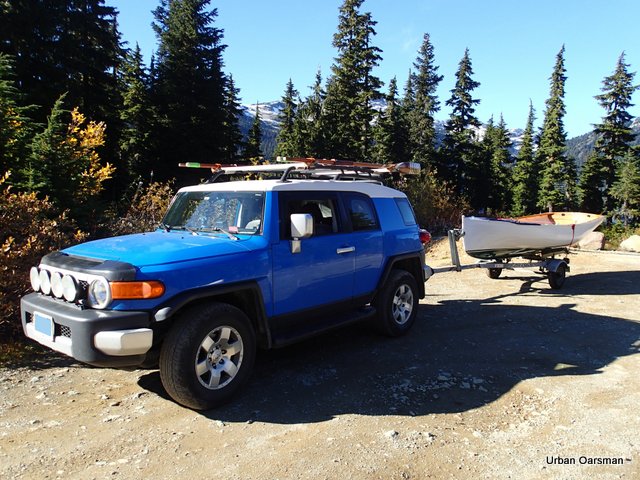
Two North Vancouver RCMP cruisers. Emergency lights flashing, go on to the Second Narrows Bridge ahead of me, one from Dollarton Highway on ramp, one from Marine Drive. They are both in the right hand lane, driving slowly. They stop about ¼ of the way over the bridge. Both Officers get out, one male, one female. The male officer is in the lead. They run past two bicyclists going north, and race towards a guy standing on the bridge. He turns and runs, going over the side of the bridge just as the officers get to him. I pass the officers and the jumper just as he goes over the edge. “Oh my god” I think, “we are not even over the water yet”. The RCMP Officer has just missed grabbing the guy by a second or so. As I pass the Officers, they are hanging over the edge, looking down. “Not much of a way to begin a row” I think. I continue driving on, to the boat launch in Ladner, with Gwragedd Annwn in tow.
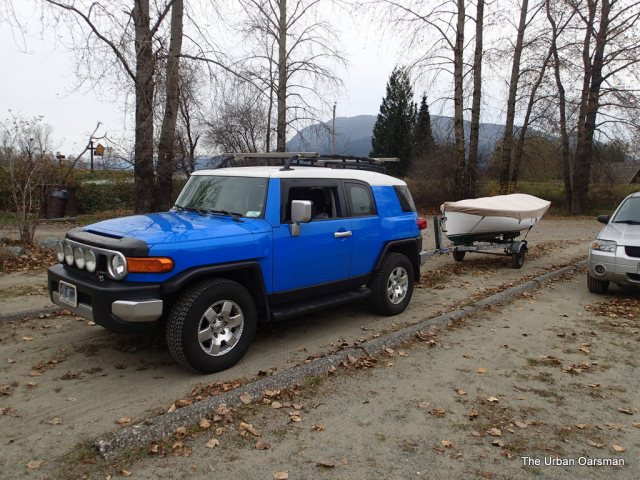
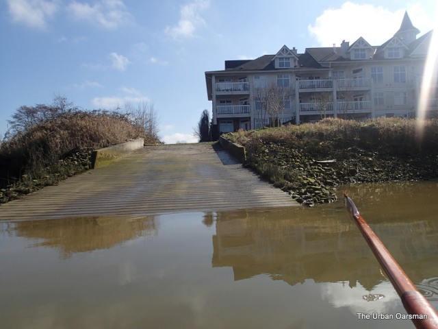
I arrive at the Boat launch by Captain’s Cove Marina at 10:50am. I put Gwragedd Annwn in the water and I am ready to go by 11:10am. The boat launch and parking is free. Two runways, one dock.
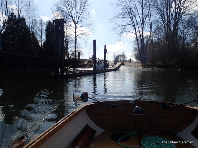 |
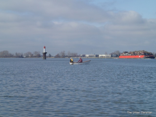
Rowing away from the Captain’s Cove Boat launch.
Gwragedd Annwn leaving the dock.
Another rowboat launches when I do….A car-top flat-iron skiff built by the owner. There is a Mon, Dad and a small child.
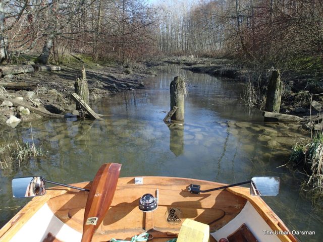
I row up the south side past Captains’ Cove Marina. The entrance to Green Slough is to the South, just past the marina and before the Highway. The tide is low, I will row up it on my way back from Deas Island Slough when the tide is higher. I pass by the drainage canal before the River House Restaurant and the River House Pub on the west side of the highway. I do not know what the canal is called, but, it does not matter, the way is blocked by fallen trees and some sort of drainage gate/pump house.
|
|
Trees Blocking the drainage canal with the pumphouse behind. |
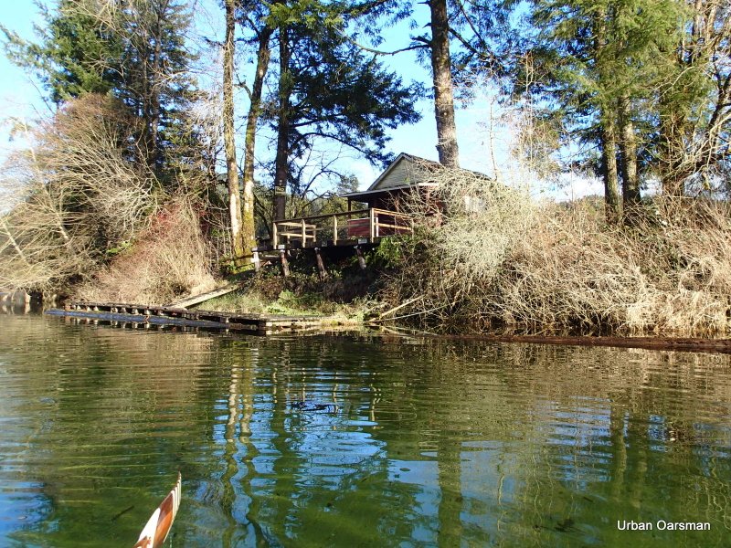
I row up slough, between the marina and the shore. There is a boat ramp east of the hotel (?)
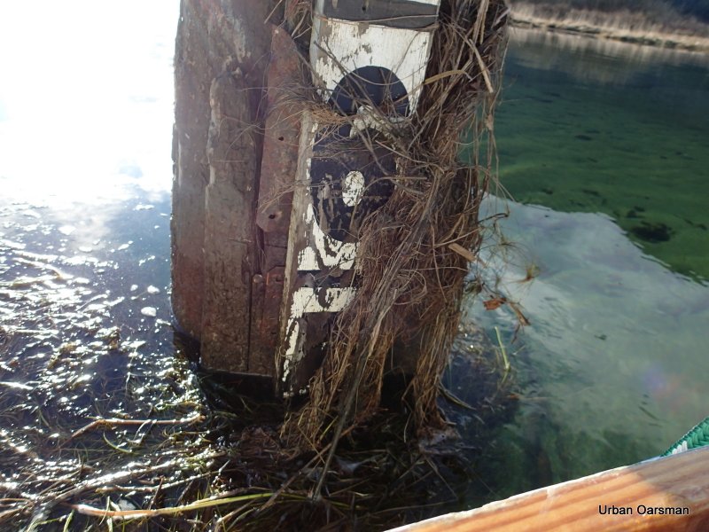
There is a sunken wooden ship, sources say that it is the rum-runner the “Audry B”.
|
|
The remains of the “Audry B” |
Then another drainage canal blocked by a pump house.
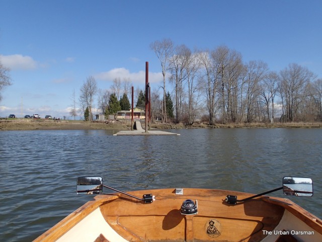
I can hear walkers talking from a pathway on the North side of the Slough. I smell a strong cow smell from the barn on the south of River Road. At the Far East end of the slough is the Delta Deas Rowing club. No trailer launching that I can see from the water, a low floating dock. A dolly ramp to the south of the club.
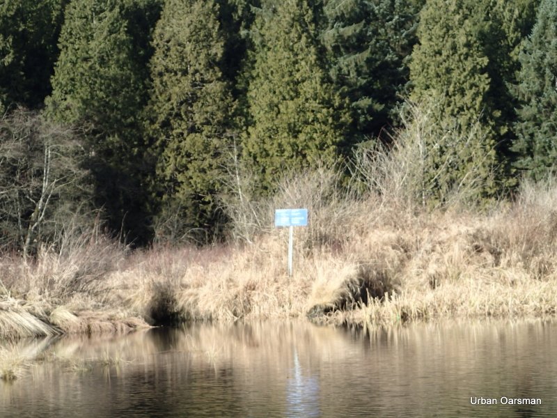
There is a Slough usage sign posted on the dock North side of the slough.
Rowing on the North Side, I notice three offshoots to explore, I nose in, but, I will need a higher tide to do so. For now, I will just pass them by.
|
|
Side channel one, about 1/3 of the way down the North Side of the Slough. |
|
|
Side channel two, a little over half way down. |
|
|
Side channel three. |
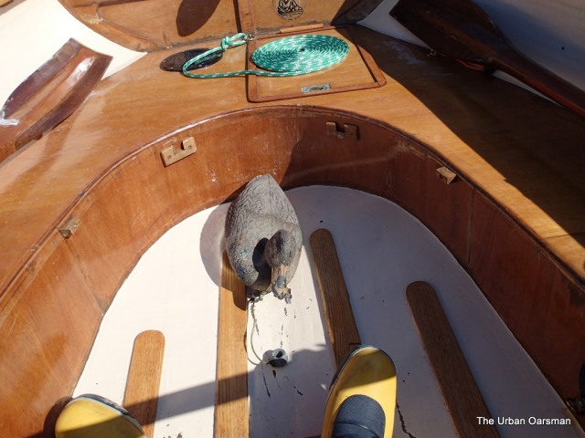
I spot a duck in the reeds. It is not moving away, I close in for a photo…It is a decoy. Duck Decoy Swag!!
|
|
The recovered Duck Decoy Swag. |
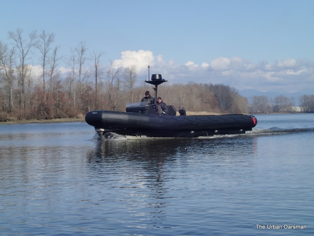
I row further on… Pike Pole Swag!! I am at the Highway overpass. There is stealth (all Black) RIB that goes up and then down the slough. Wonder what that is all about.
I row past a sunken barge, I cannot pass around it, and the water is still too shallow. There is a one-half current entering the slough by the Highway Bridge.
I row over to Green Slough.
|
|
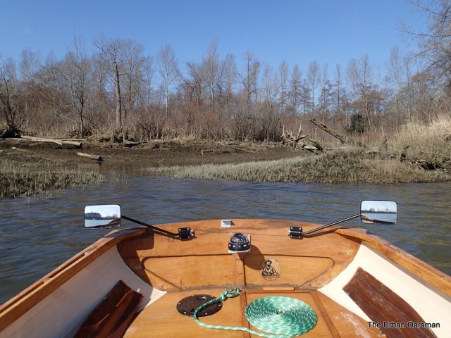
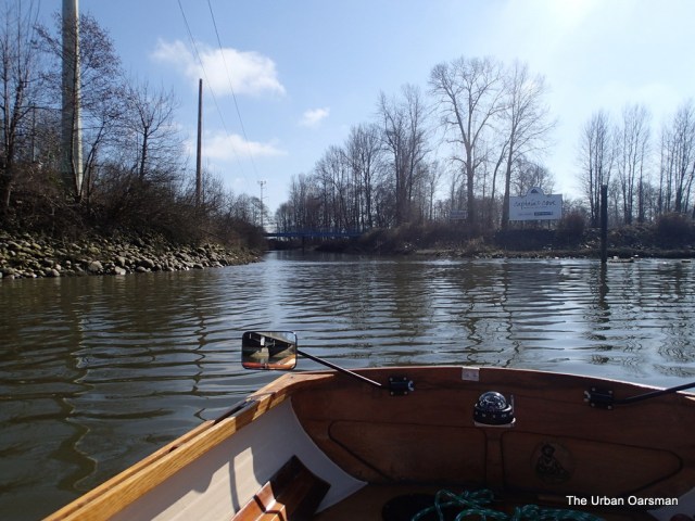
The entrance to Green Slough, just East of Captain’s Cove Marina and West of the Highway Bridge. |
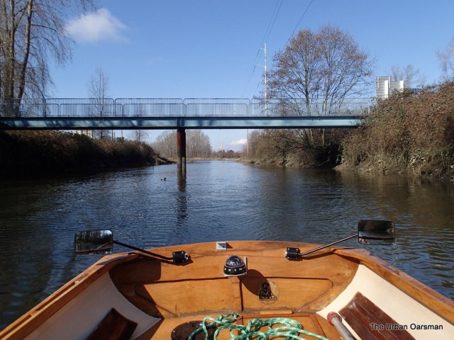
There is lots of water now. There are many branches in the canal. I row under the foot Bridge. The water is over two feet deep, and I can not see the bottom.
|
|
Looking North West in to Green Slough past the pedestrian overpass to Deas Island Slough. |
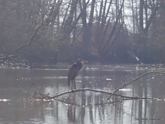
As I row down the slough, there is a Great Blue Heron on a branch in the water, I cause it to fly further down the canal. As I row down, we repeat this three times before the Heron finally flies up and out of the slough.
I have been monitoring the radio and the Coast Guard announces that the notice to mariners about the closure of the Second Narrows bridge due to a jumper has been lifted. The Jumper has been taken into custody by the RCMP. The jumper that I had seen had just gone into the structure under the bridge. The RCMP had followed him and talked him down. Good news. The further down the canal, the more tan and clear the water becomes. I pass houses on the south bank, with docks on the canal.
I carry on and come to a fork in the canal. I pick the largest and the south route. This fork ends a little further on at the corner of Admiral Boulevard and River Road.
|
|
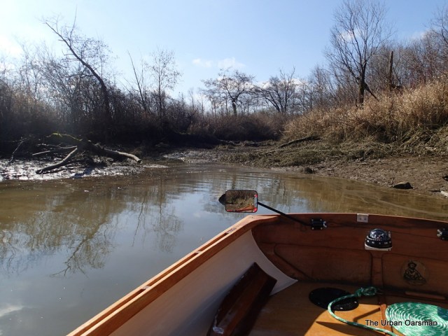
The end of the channel at Admiral and River Road. Note how orange-brown the water is. Peat coloured? |
I row back to the junction point and pick the other fork. It carries on under Admiral Boulevard to the West. The canal is less than 20’ wide now, and in some places it is less than 10’ wide.
|
|
The Admiral Boulevard Bridge over Green Slough. |
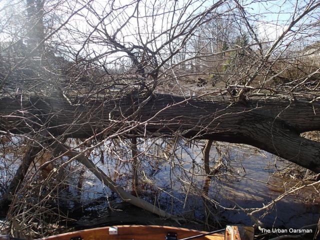
I have to pole Gwragedd Annwn through these spots. I come to where the channel is blocked by a fallen Cottonwood tree. The tree has fallen from the South shore. The tree is maybe three feet thick. I can not go over the tree or under it. This is as far as I go. Did the tree fall during the big wind of December 2006 that smashed the trees in Stanley Park?
|
|
The Cottonwood at the end of the line. As you can see, there are no green leaves. The tree has been here for a while. |
I row back past the backyards of the houses on Brigantine Road on the North and Regatta Way on the South. It probably looks a little muddy at low tide, but probably looks good at high tied. The water here has an orange tint. I have not seen any fish. A dead wheel barrow, a dead bike and crippled shopping cart. There are two side channels that do not go very far, just ending in small bays.
|
|
One of the short side channels off Green Slough. |
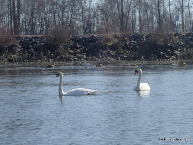
There is a golf course on the north of the channel. The tide has risen and logs that were in the way down channel are floated over on the way out. As I exit Green Slough, two Trumpeter Swans guard the east end of Captain’s Cove Marina.
|
|
Trumpeter Swans on patrol. |
I head West towards Canoe Passage. There is an old beached planning hull on the beach.
I continue to Lander Reach, and follow the shore line. There is another Canal/slough entrance. It is blocked by rocks and posts.
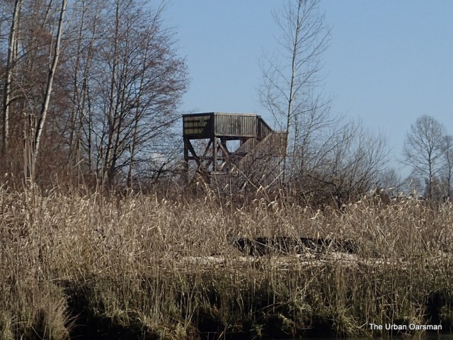
The tide will rise for another twenty minutes, not very much. If I can not get into the channel now, the tide will not rise enough today to get in no matter how long I wait. I cannot enter to explore Ladner Marsh. I row down Ladner Reach until I spot the observation tower.
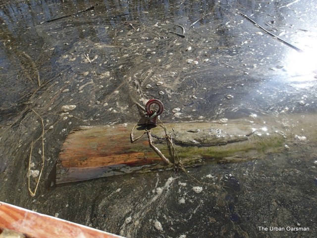
Well it is 3:20 and at this time of year it will be dark by 6:00pm. Time to head back to the Launching ramp and home. I row back up Ladner Reach towards the boat launch. I pass the stranded planning hull. There are some logs tied to the shore here.
Is that derelict hull salvage too? Is this where the ghost of Bruno Gerussi haunts?
Back to the dock, I put Gwragedd Annwn on to her trailer and head home, knowing that the Second Narrows will be open now.
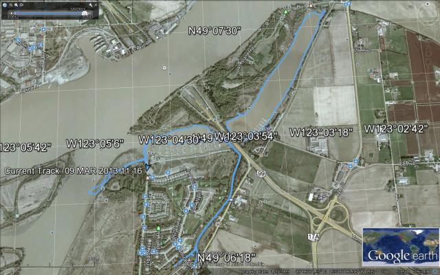
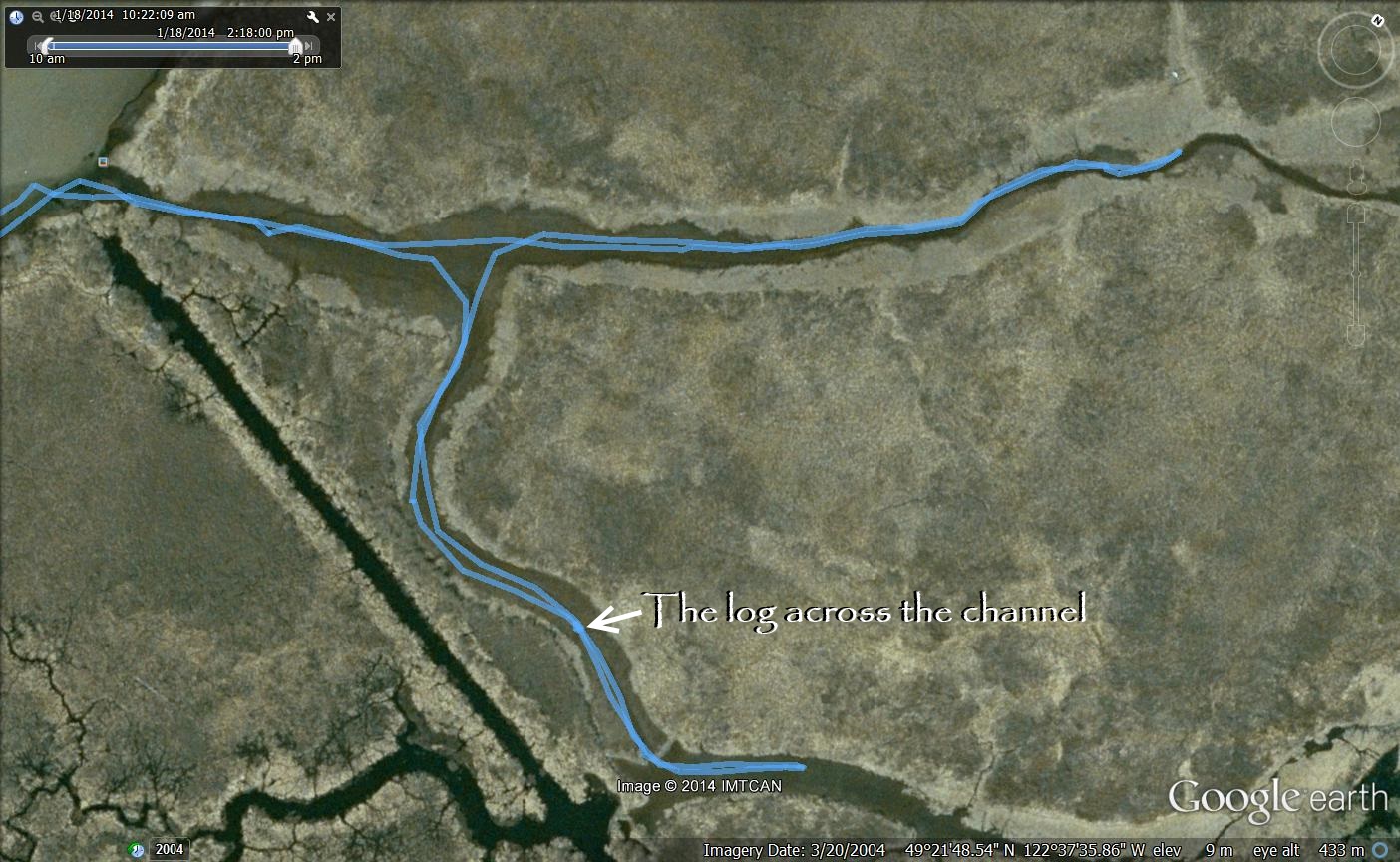
The Google Earth picture of Gwragedd Annwn’s GPS track.
Another pleasant row, Mike
Posted in Under the Keel....
Comments Off on The Urban Oarsman rows Deas Island Slough and Green Slough
The Urban Oarsman Circumnavigates Siwash Island

Click on image for large format picture
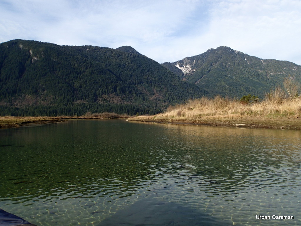
Tide notes for the trip. I am still trying to figure out the tides here. They are very effected by the flow of the Fraser and the Pitt Rivers.
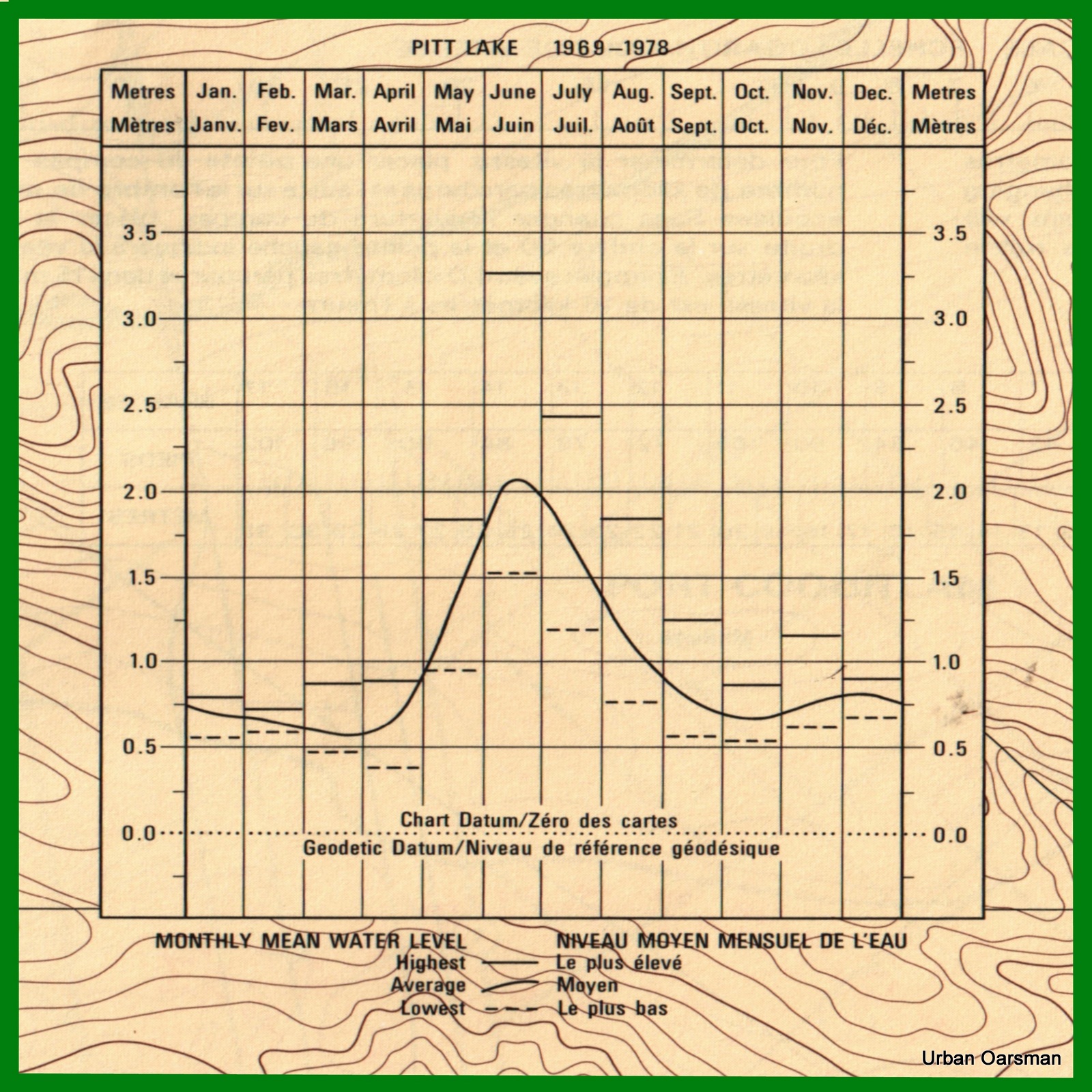
This water level chart for Pitt Lake was taken from the Pitt River and/et Pitt Lake chart #3062.
Some of the lowest water levels for the lake are in the winter. I need to have a high tide to go here.

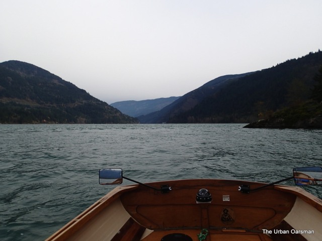
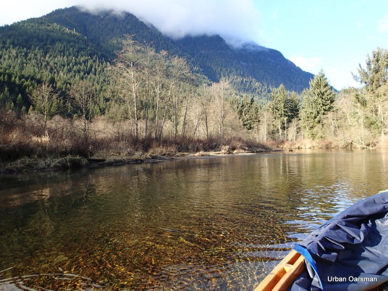
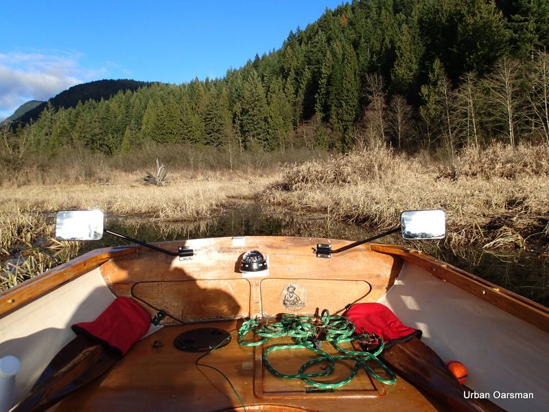
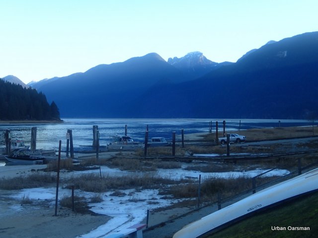
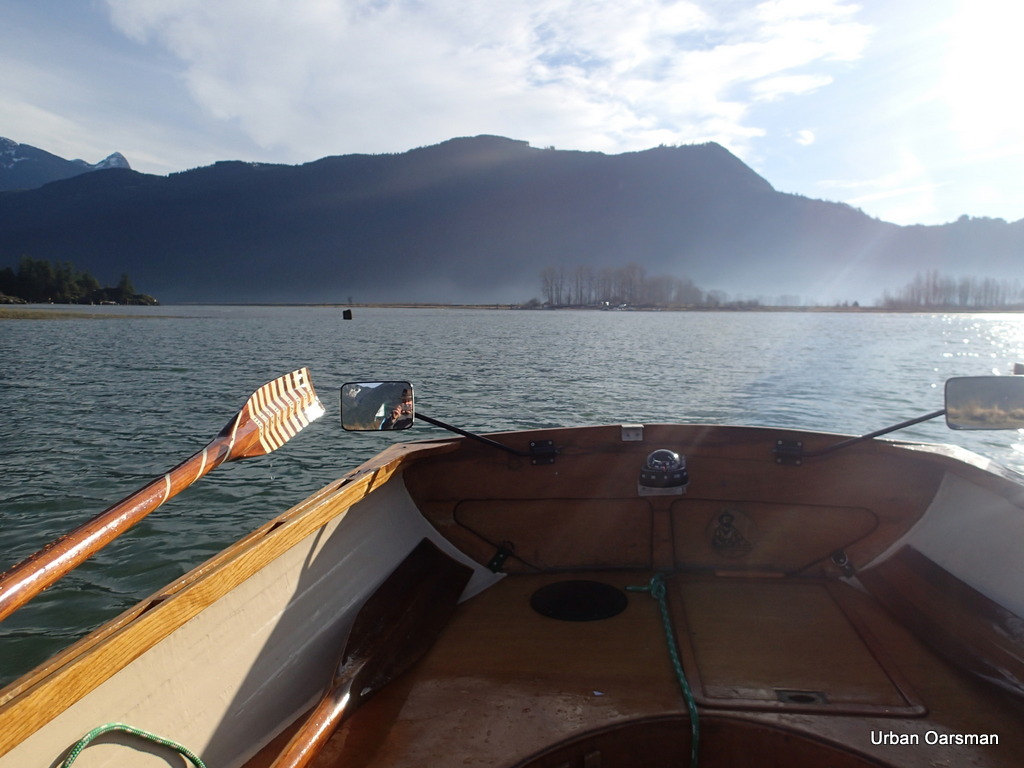
Crossing the Pitt River Bridge at 9:30am, January 18th, 2014. A little foggy this morning.
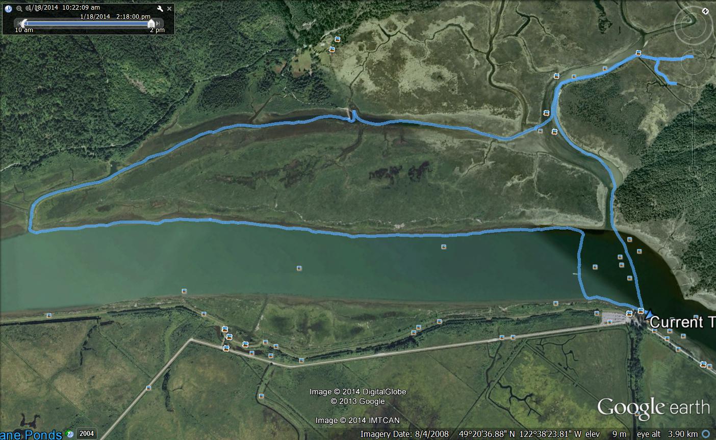
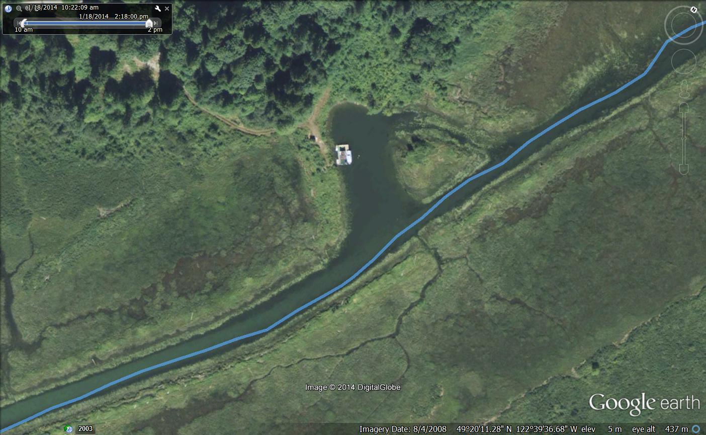
The route I took rowing around Siwash Island.
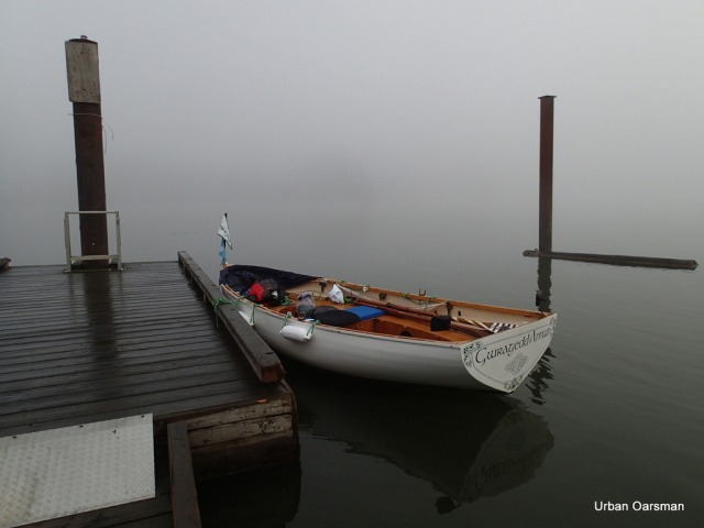
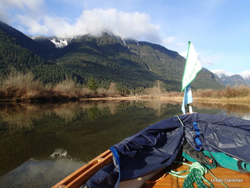
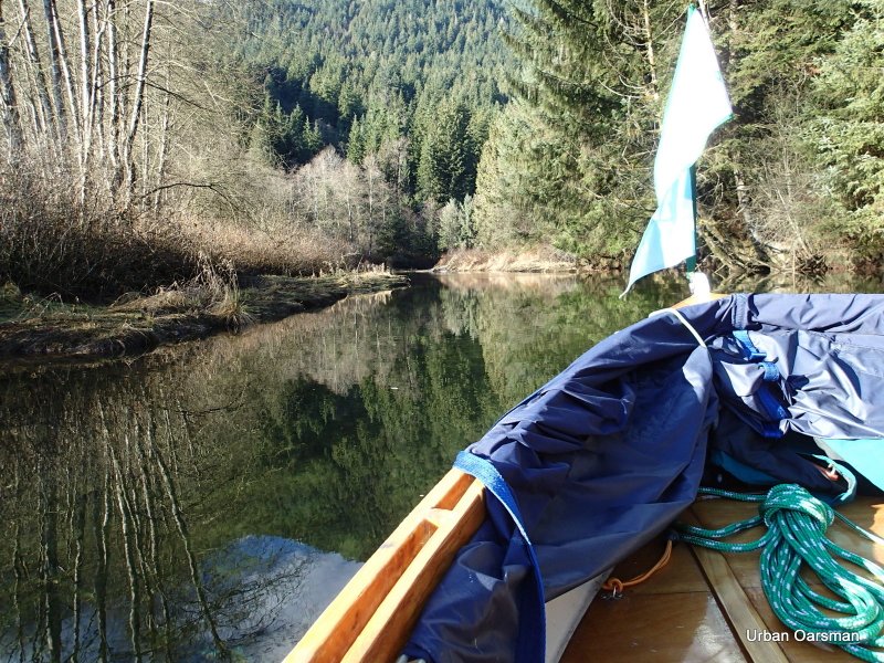
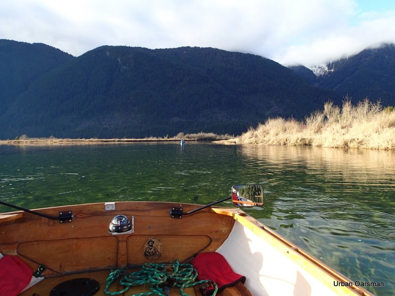
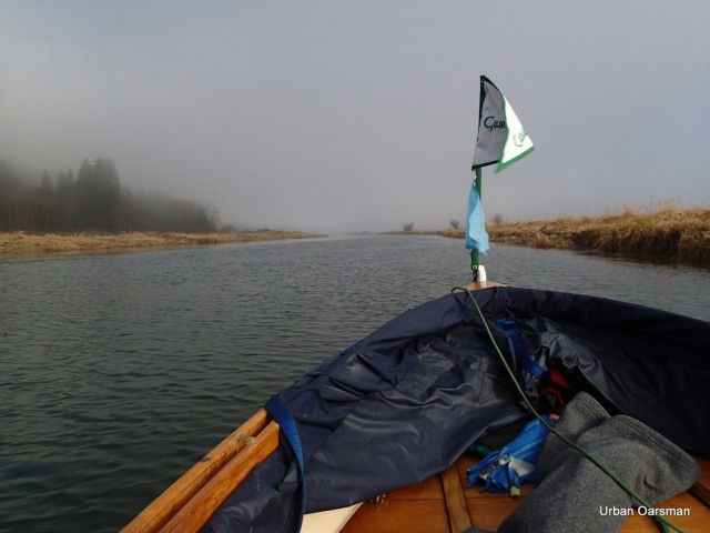
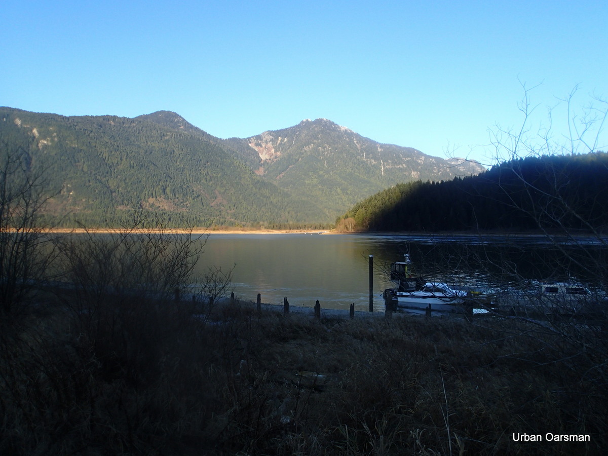
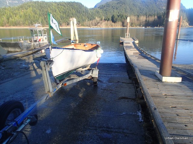
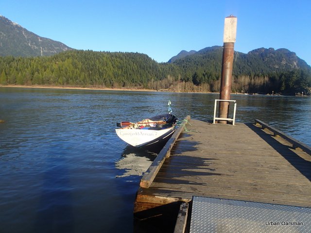
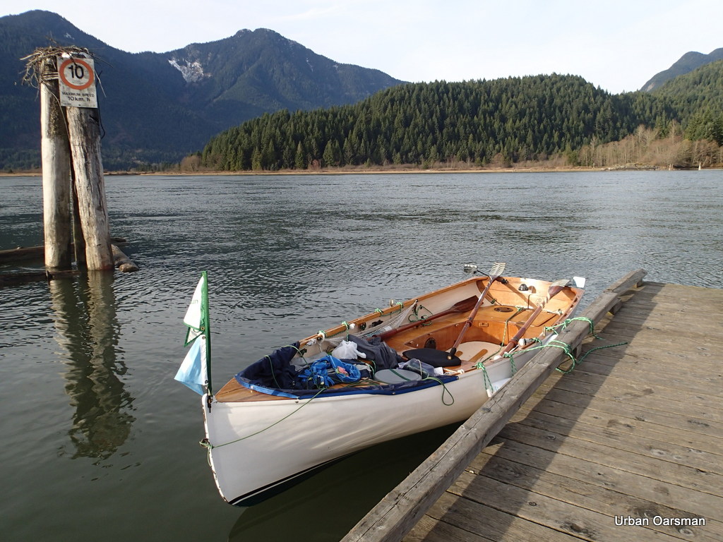
Gwragedd Annwn at the Grant Narrows boat launch dock.

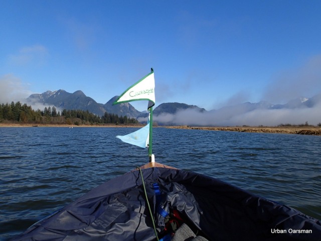
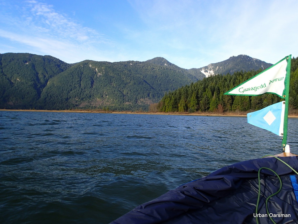
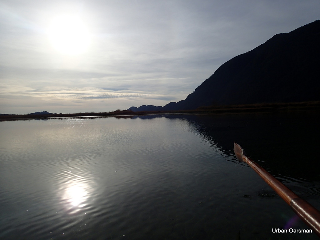
The wind flag shows almost no wind.

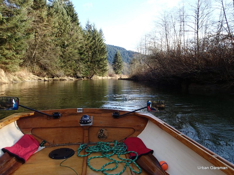
10:23am, leaving the Grant Narrows dock. The tide is flowing 1.5 knots upstream.

The point North of Grant Narrows is shrouded with fog.

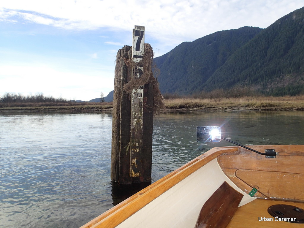
Until this row, I had never noticed this depth gauge at Grant Narrows. I wonder what the scale is.

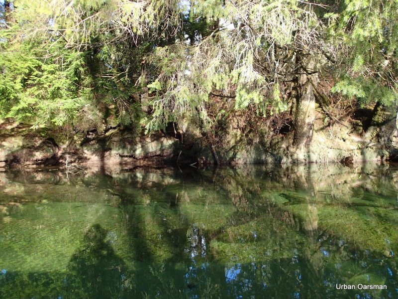
Artsy picture of the East shore with the sun peeking through the fog and trees.

A piling on the East side of Pitt River, showing the tide current flowing upstream. The entrance to Widgeon Creek is in the fog behind. The low shore line is Siwash Island.

I stitched together this panorama view of the entrance to Widgeon Creek on the West shore.

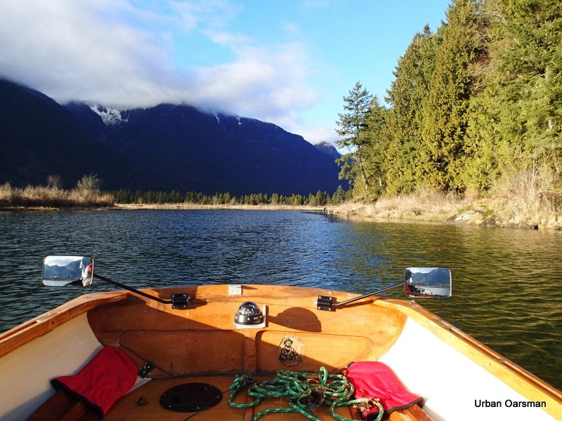
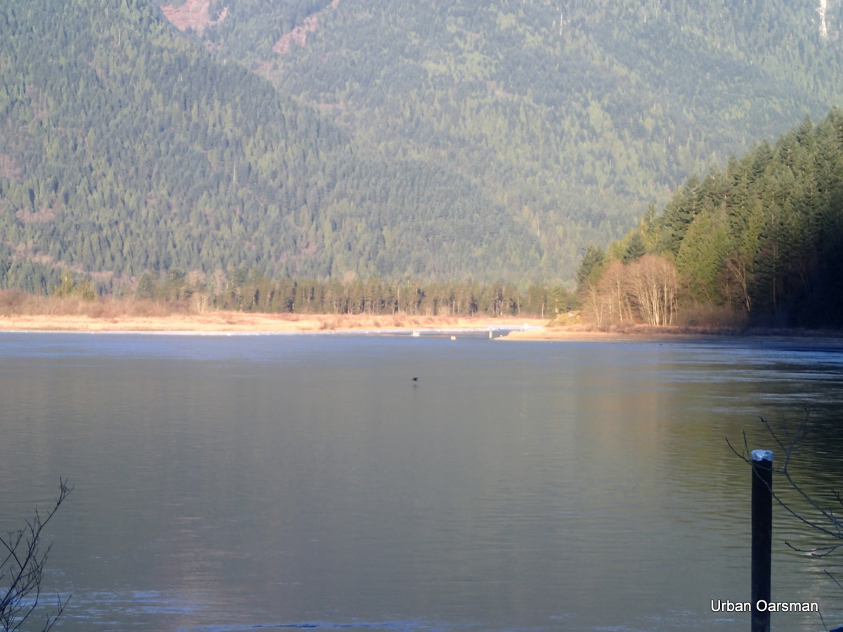
I row across Grant Narrows to Siwash Island. The Island does not rise very high.
The upstream tidal current is not flowing as fast on this side of Grant Narrows.

Rowing down river against the current.

Downstream Pitt River. The way is quite foggy.


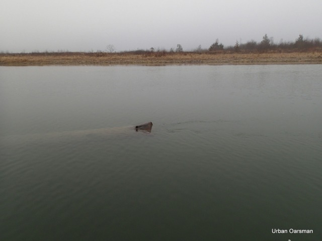
Dead overturned boat on Siwash Island.

I stop rowing and let Gwragedd Annwn drift with the current. .7 knots upriver.

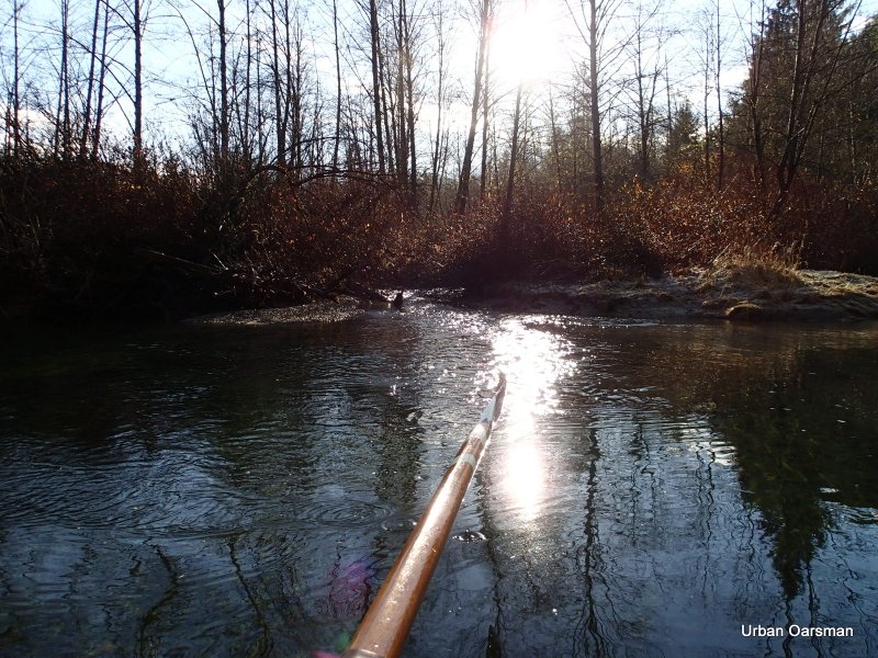
The morning fog begins to burn off.

Open sky to the West.

The entrance to Widgeon Slough.
Google Earth picture of my route

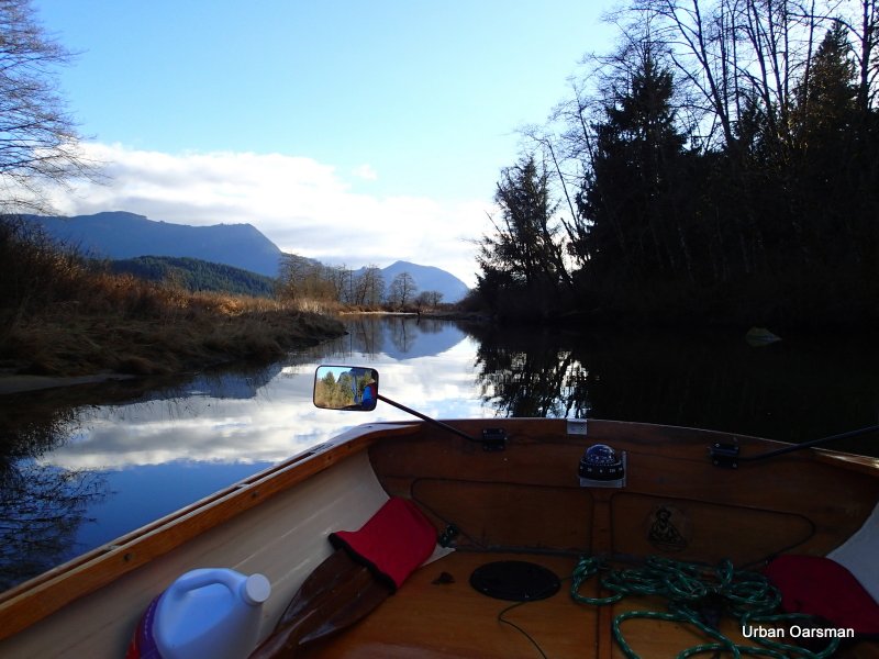
Rowing into Widgeon Slough
Unlike Widgeon Creek, Widgeon Slough has a speed limit.

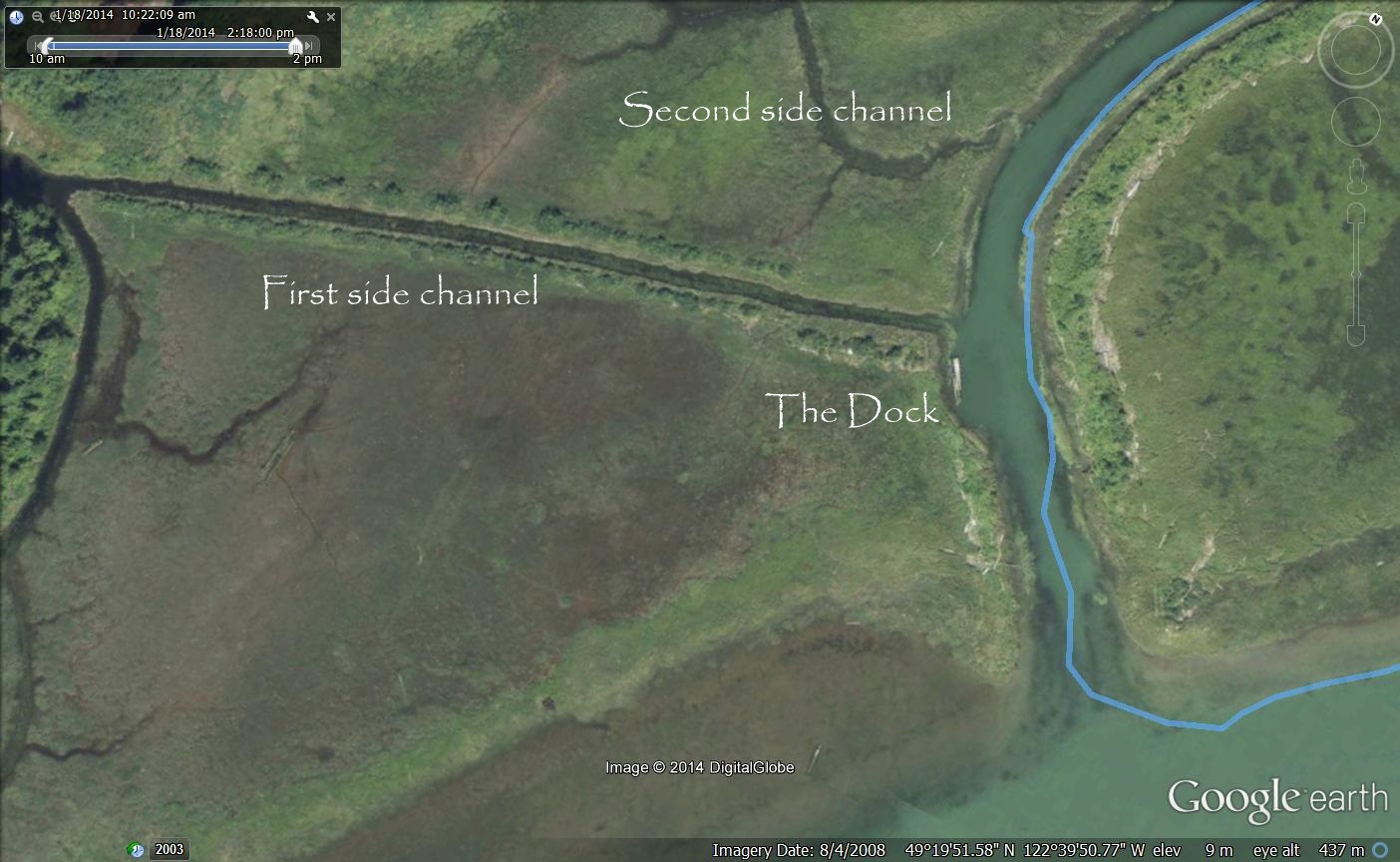
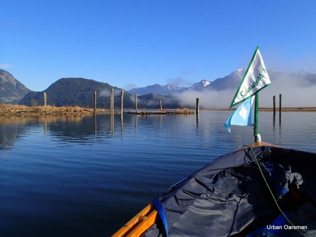
The dock just inside the entrance.

A power boat goes in for a look, the dock is in the background.

The first side channel heading to the South-West.

The second side channel heads to the South-West as well.
Looking North up Widgeon Slough.

The power boat heads back to Pitt River.

A floating camp. It is in the Google Earth Picture below:
I continue North up Widgeon Slough.

I startle a flock of Trumpeter Swans. They fly away up channel.
The sky is clearing from the North. I am rowing into sunshine!

A side channel to the West.
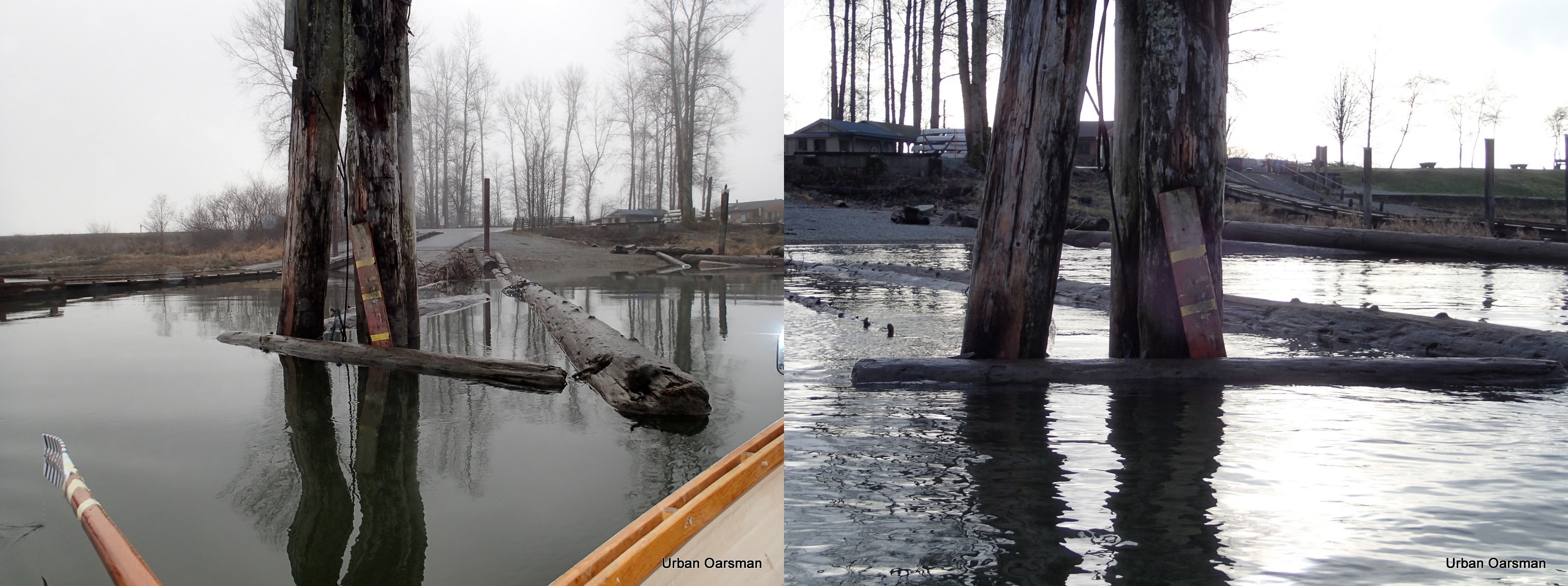
The Google Earth picture shows a structure should be here. Now there only pilings.
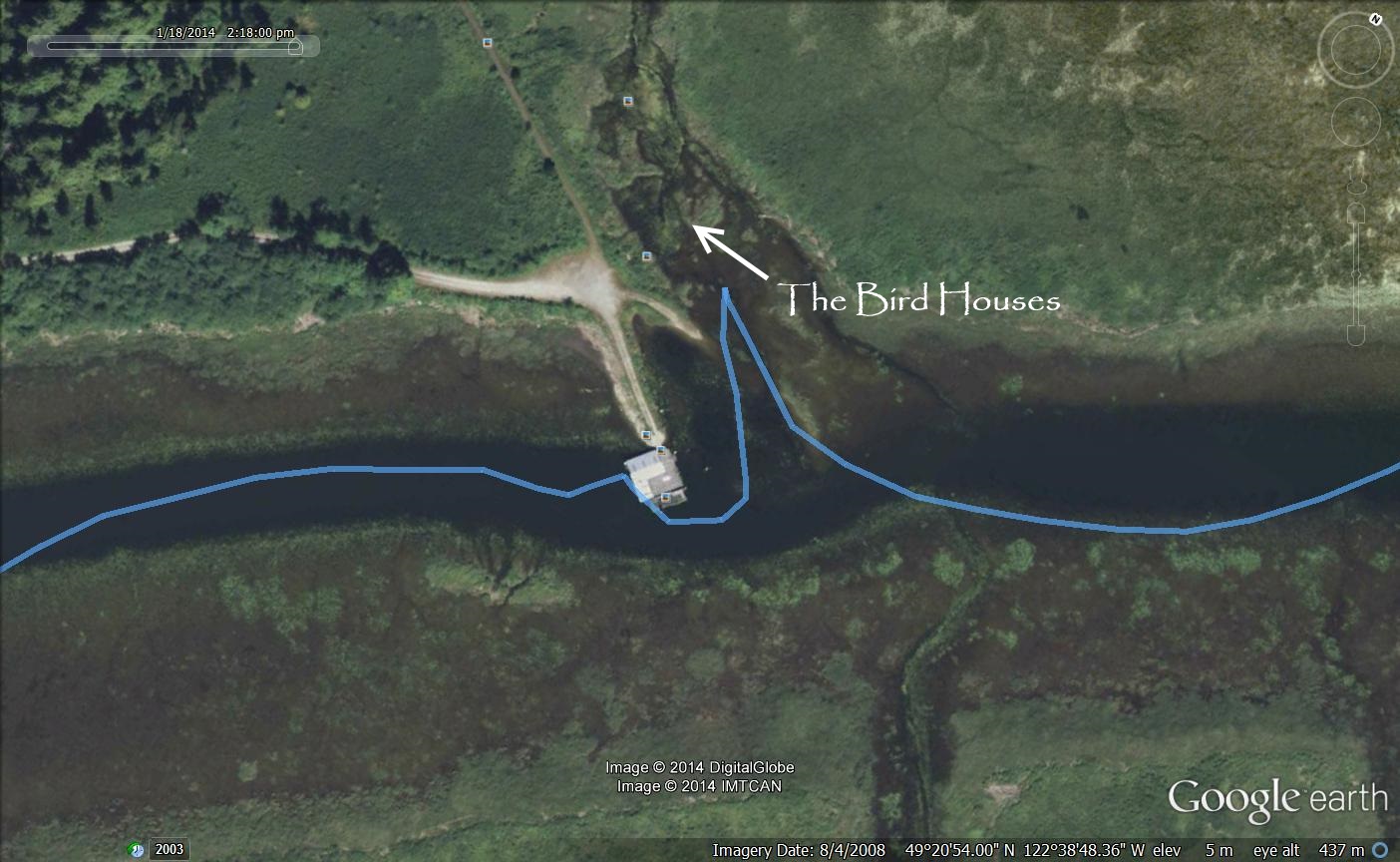
Google Earth image of the structure that is no longer there.

All that is left of the building.
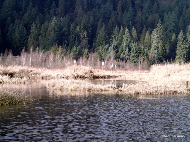
Bird boxes up a side channel on the West side of Widgeon Slough.

Widgeon Valley to the North.

Widgeon Point is visible to the North.

I continue rowing up Widgeon Slough.

This is the passage to Widgeon Creek.

Where Widgeon Slough and Widgeon Creek connect.

Looking South down Widgeon Slough.
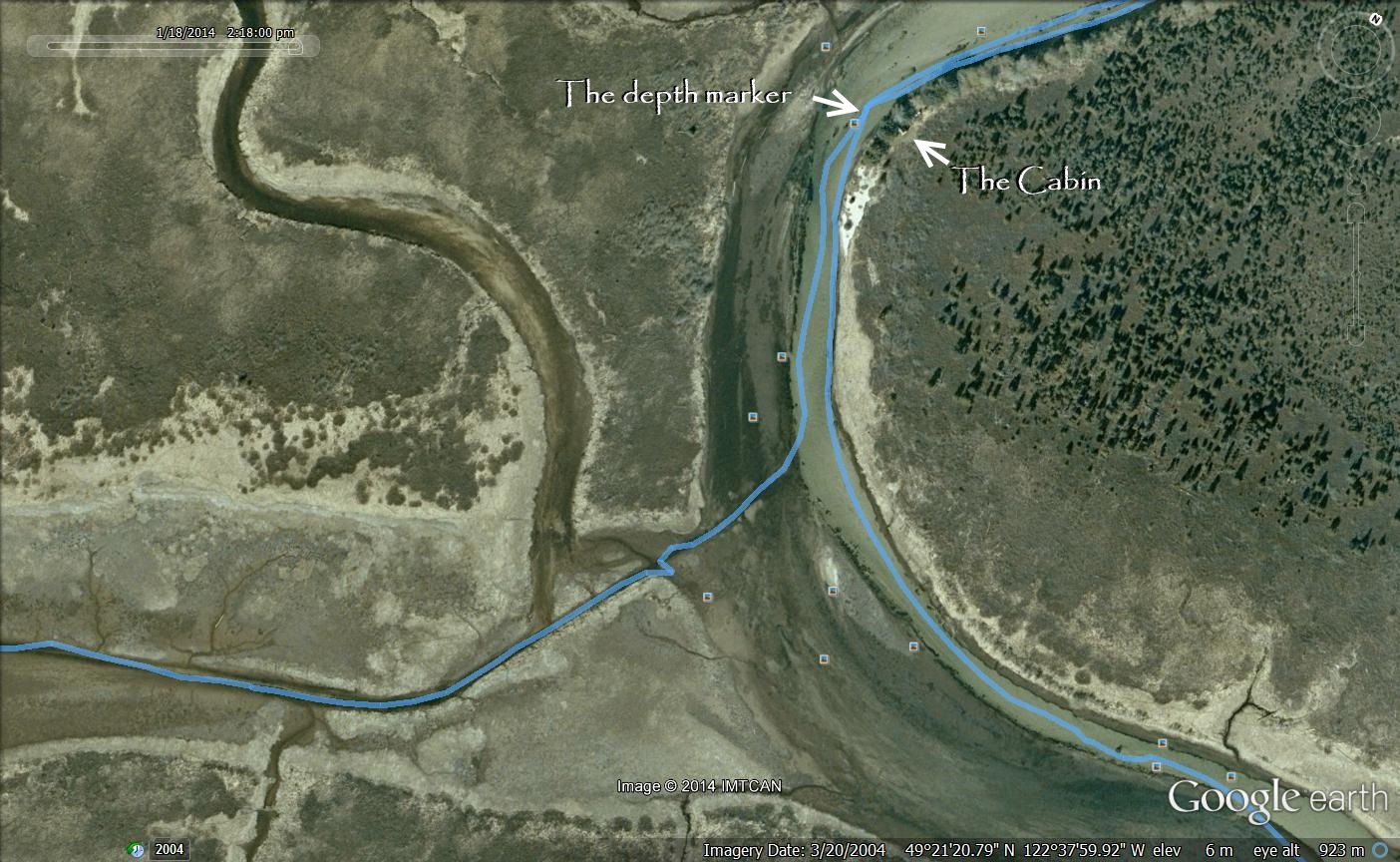
Google Earth image of where Widgeon Slough and Widgeon Creek connecting.
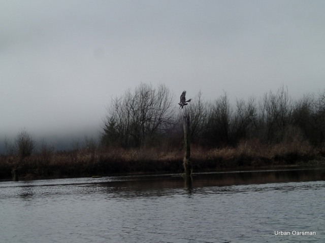
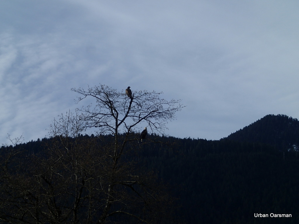
An eagle flies away from me.


A camping canoeist returns to Grant Narrows after a pleasurable but cold camp-out.
His canoe is powered by an electric trolling motor.
The clouds are moving in from the South. It is getting noticeably colder.
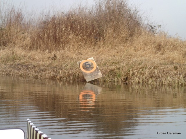
The Widgeon Creek Depth Gauge. It is showing 5 feet? The tide is still coming in.
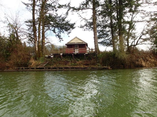
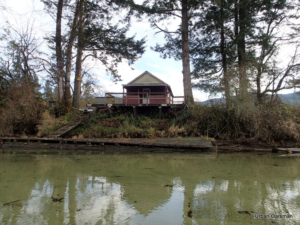
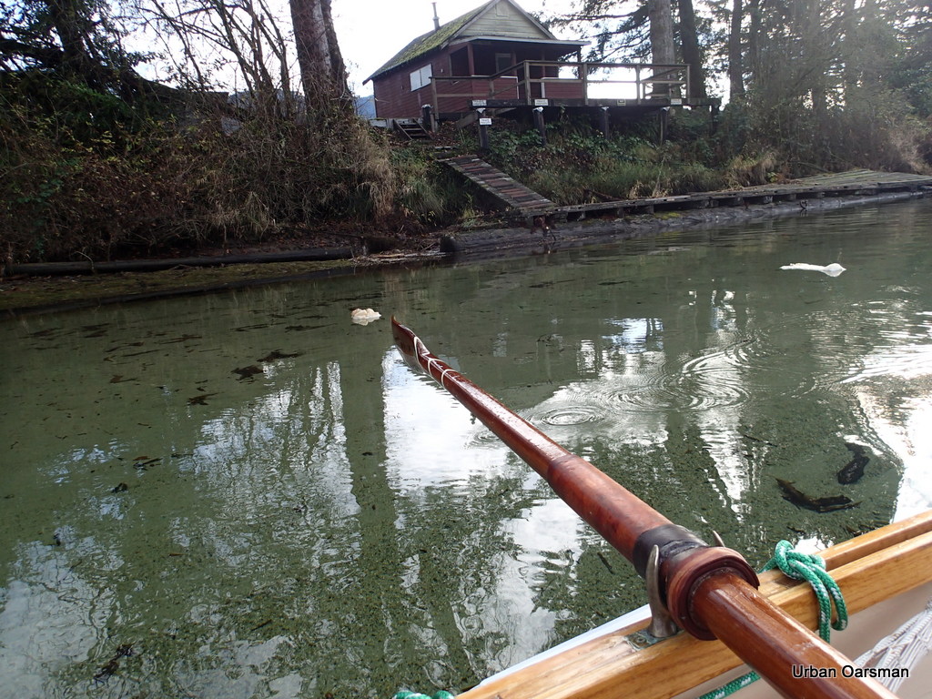
The no-trespassing cabin.

The tide is high enough to enter the East side channel. The current is flowing in.
Rowing up the side channel. I row in backwards for maximum visibility.
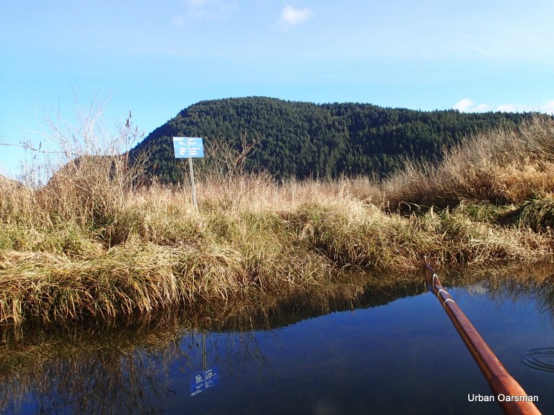
I will take the side fork that goes to the South-East.
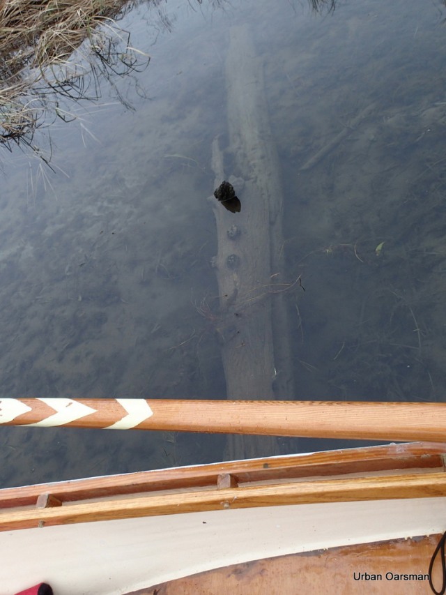
I row over the log across the channel. I have to use my oar to push it down so I can cross it.
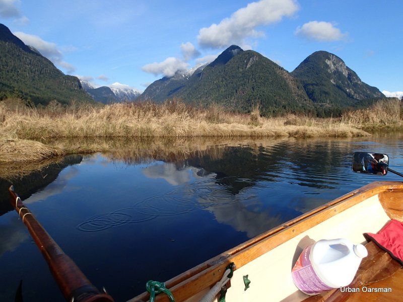
Back to the main channel. It leads to the North-East

Continuing up the channel. I run aground and turn back. I need higher water to reach the source.
The clouds are getting lower and lower. It is now quite chilly and I put on my wind breaker and scarf.

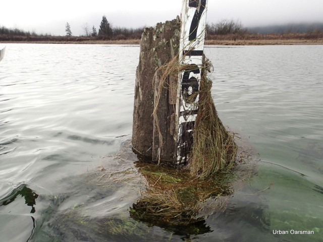
Passing by the Widgeon Creek Depth Marker on the way back to Grant Narrows.

Thirty minutes later I am at the Grant Narrows Depth Gauge. 5 feet?

The water level is up to the top mark on the ramp.

The tide does look to be very high.
Side by side pictures of the Grant Narrow Water Level Gauges. The tide did come in during my row.
Rowing around Siwash Island took about 2.5 hours.
A wonderful way to spend the day.

Posted in Uncategorized
Leave a comment
The Widgeon Creek High Tide Row.
Click on picture for large format image.

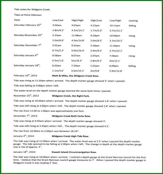
Tide notes for the row:
Tides at Point Atkinson
Date: Low/Low High/High High/Low Low/High Leaving
Saturday February 16th 3:04am 9:03am 4:22pm 10:11pm falling
2.8m/9.2’ 4.3m/14.1’ 1.7m/5.6’ 3.7m/12.1’
Monday November 25th 3:33am 11:08am 6:29pm 10:56pm rising
2.0m/6.6’ 4.5m/14.8’ 2.6m/8.5’ 3.1m/10.2’
Saturday December 7th 2:01am 9:22am 3:36pm 11:26pm rising
0.7m/2.3’ 5.0m/16.4’ 2.9m/9.5’ 3.7m/12.1’
Saturday January 4th 0:58am 8:07am 2:07pm 7:04pm rising
0.5m/1.6’ 5m/16.4’ 2.8m/9.2’ 4m/13.1’
February 16th, 2013
Matt & Mike, the Widgeon Creek Row.
Tide was rising at 11:30am when I arrived. The gauge showed 5’ when I passed.
Tide was falling at 4:00pm when I left.
The water level on the depth marker seemed the same both times I passed.
November 25th, 2013
Widgeon Creek, the Right Fork.
Tide was rising at 10:00am when I arrived. The gauge showed 2.8’ when I passed.
Tide was still rising at 3:00pm when I left. The gauge showed 3.8’ when I passed.
The rise from 11:00 to 1:00pm was approximately one foot.
December 7th, 2013:
Widgeon Creek Both Forks Row.
Tide was rising at 9:45am when I arrived. The gauge showed 3’.
Tide was still rising at 2:45pm when I left. . The gauge showed 4.5’.
The rise from 10:40am to 2:00pm was between 18-24”.
January 4th, 2014:
Widgeon Creek High Tide Row.
The tide was rising at 11:00am when I arrived. The water level was at 5.5’ when I passed the gauge.
The tide seemed to be falling at 2:00pm when I left. The change in depth at the gauge was a rise of approx. 4”.
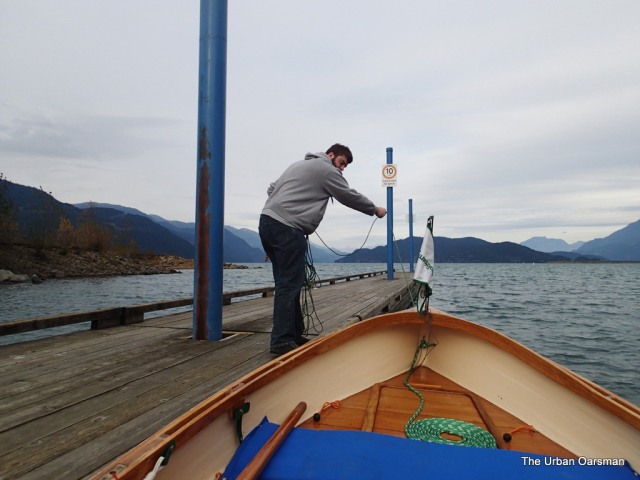
Gwragedd Annwn tied to the float at Grant Narrows. A Kayak and a Canoe are in the distance heading for Widgeon Creek. There is no wind and the current in the Pitt River is going upstream.
A telephoto shot of the Kayak and the Canoe. Flat paddling.
Leaving the dock. The tide is quite high, the scum-line on the ramp shows a possible one-foot rise.
Widgeon Creek estuary is to the West.
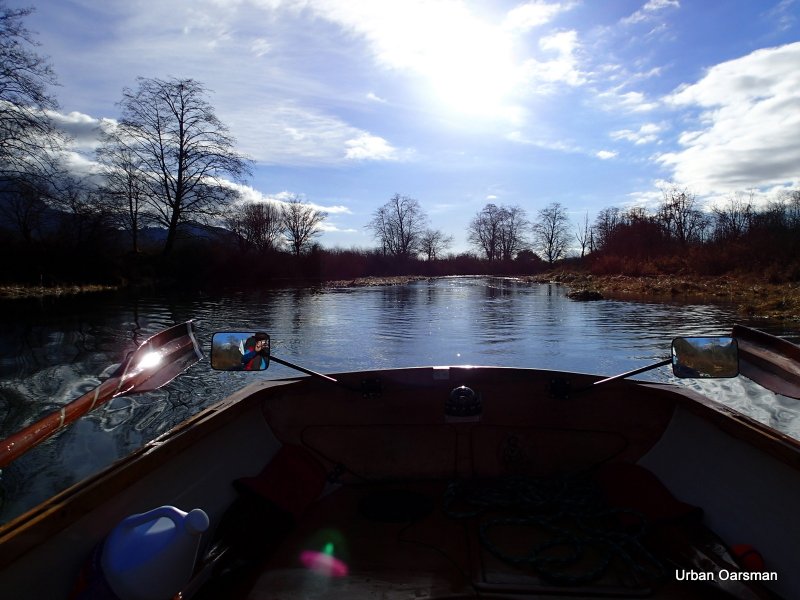
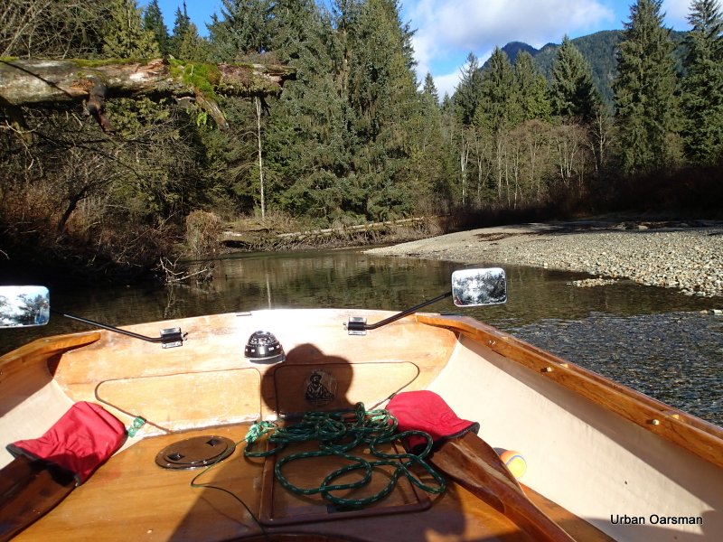
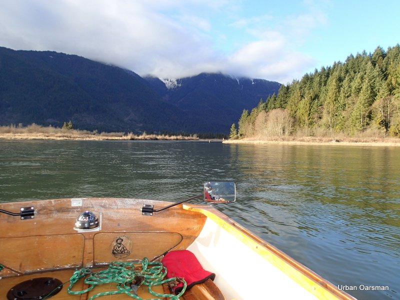
Looking North-East towards where the Widgeon Creek Lodge used to be. I stayed there one weekend twenty-five years or more ago. I wonder if it is still operating. Just above the mirror in the picture is a seal diving.
Entering the estuary. Looking off my Starboard side, South, down Pitt River.
Looking North-East as I enter. The water is quite high on this row. I know that there are some pilings on this side of the estuary that are now submerged.
The first visible piling. I think that I have passed three that are under the surface. The water is right up to the reeds on shore.
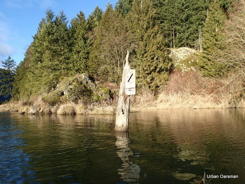
The “No Power-Driven Vessels” sign.
A close look at the base of the sign shows that the tide/current is going into the estuary.
A bit of a self-portrait. This is my Movember beard.
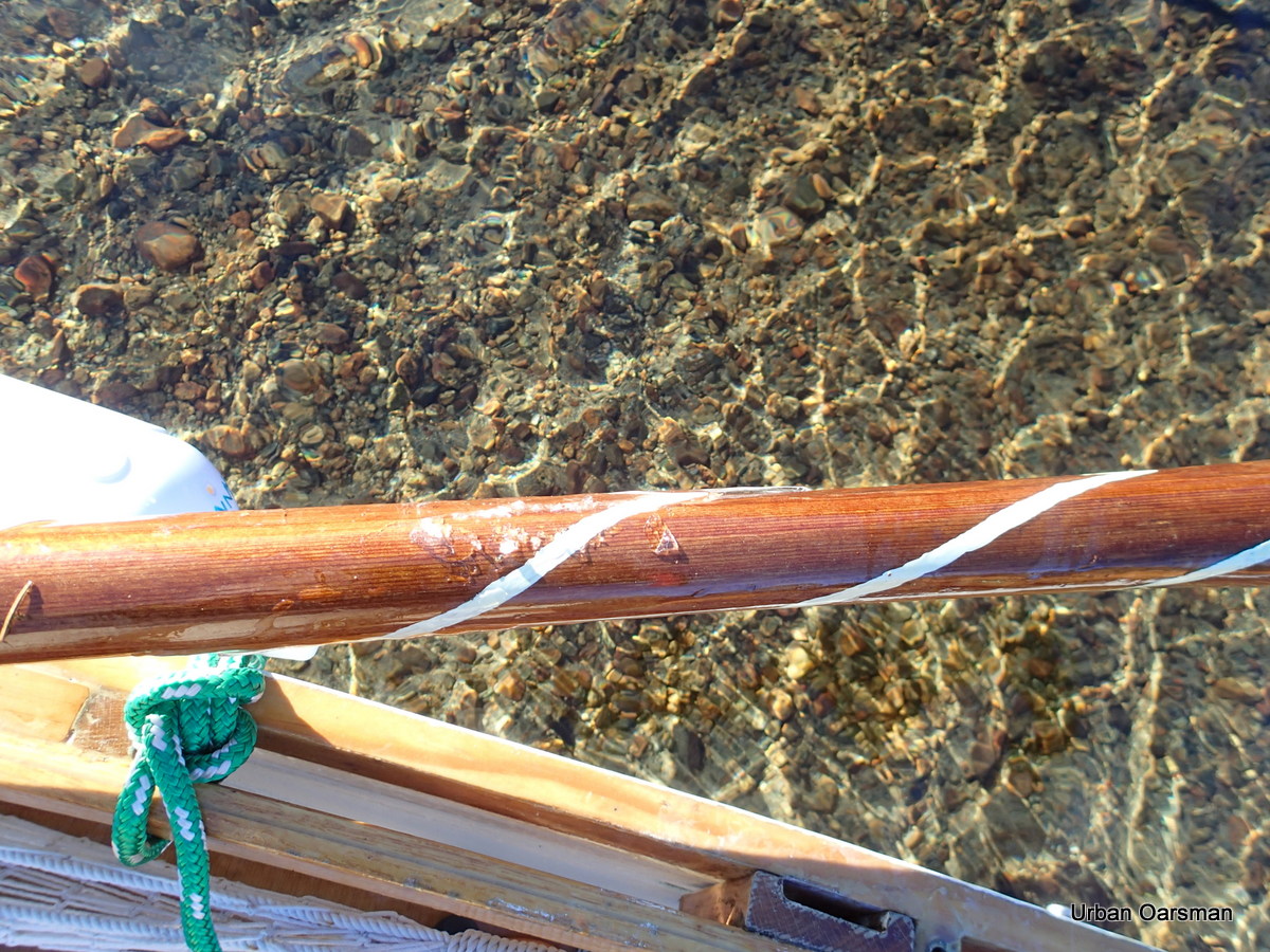
Trying to look far-sighted for the camera. A good shot of my Port Depth-sounder oar. For some reason, most of the painted lines have worn off. Time for some new paint.
The Widgeon Creek estuary is full at this tide with the water going up to the shore line reeds. No need to find the deep channel, there is over two feet of water everywhere I row.
The North Shore of Siwash Island. I wonder why this island and Siwash Rock off of Stanley Park share the name “Siwash”.
Looking West into the estuary.
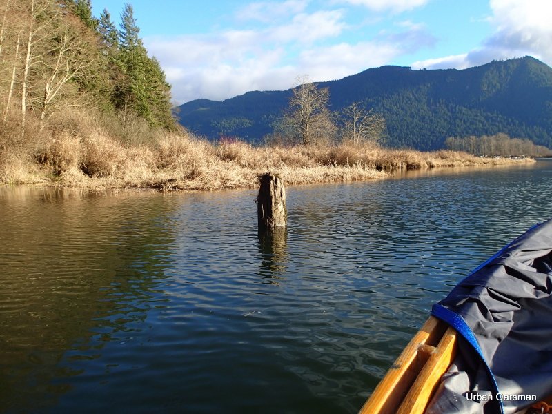
At lower tides, this stump is in the middle of the navigable channel.
Passing by the stump. The tide is very high.
The South-West view.
I row around the bend an begin to pass the pilings rowing upstream.
The depth marker Piling. It is showing about five feet four inches. The current still seems to be flowing upstream.
Leaving the depth marker behind.
The “No Trespassing” cabin.
Looking North up Widgeon Creek.
Widgeon Peak behind the clouds?
The tide has never been high enough for me to enter this side channel. It is shown on the charts and the topo map.
I am going to back into the side channel so I can see where the deepest route is. The Channel goes to the North-East.
I can see that the current flowing into the channel.
The topo map, the chart and Google Earth show the channel going in quite a way. Let’s see how far in I can row today.
More than two feet of water to row in.
The channel widens. This photo looks to the North-East.
Looking to the South-East. Does this channel connect up with the main estuary?
I continue on down the North-East channel.
The channel begins to narrow. How much further can I go?
I am not going to be able to go much further….
Port side view. The channel is now too narrow to row in without catching the reed at the side.
Starboard side view. Too narrow to row in. I should have brought a paddle, Gwragedd Annwn needs about twenty feet of width to row in. I try paddling with an oar, but do not get much further.
I row out of the side channel, against the current. How much higher will the water rise?
This photo looks up the Starboard (right) fork. The canoeists have landed on the beach. I am going to take the Port (left) fork to the campground.
Sign pointing to the campground, down the Port (left) fork.
Looking South-East down river.
Looking North-West up river.
Another Widgeon Wildlife Area sign. There is a channel to the right of the sign. Too shallow and narrow to row up. Will explore on the way down.
I row further upstream.
A tree on the South shore.
Easily two feet (or more) water than the last time I rowed here.
There is still some frost in the shadows.
Widgeon Creek widens here. The main channel is on the Port side (upriver).
Another sign in the distance.
Another creek enters Widgeon Creek.
Looking South again, down creek.
Another channel goes off on Port side. I will explore on the way down.
The water is still quite deep. The view ahead.
A creek enters Widgeon on the Port side.
Another creek enters on the Port side.
I did not get any pictures,but, there were salmon trying to enter this creek.
I did not see this eagle until I had rowed past.
With the tide up, the channel is quite wide.
The Creek ahead.
The Creek behind.
There are a lot more evergreen trees ahead. they need a little higher soil to grow.
A higher spot for the evergreens.
The bank to Starboard is higher than the bank to Port.
Another creek enters Widgeon Creek on the Port side.
Widgeon Creek campsite with the Kayak on shore.
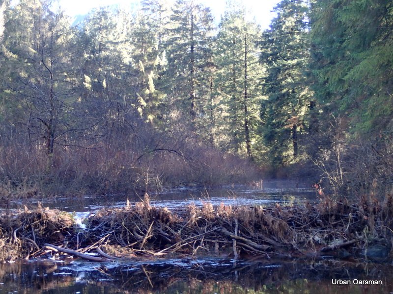
Looking up the side channel at the beaver dam.
The beaver dam.
An eagle in a tree and on flying by.
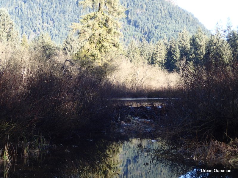
Looking to the South-West behind the dam.
Looking to the North-East behind the dam.
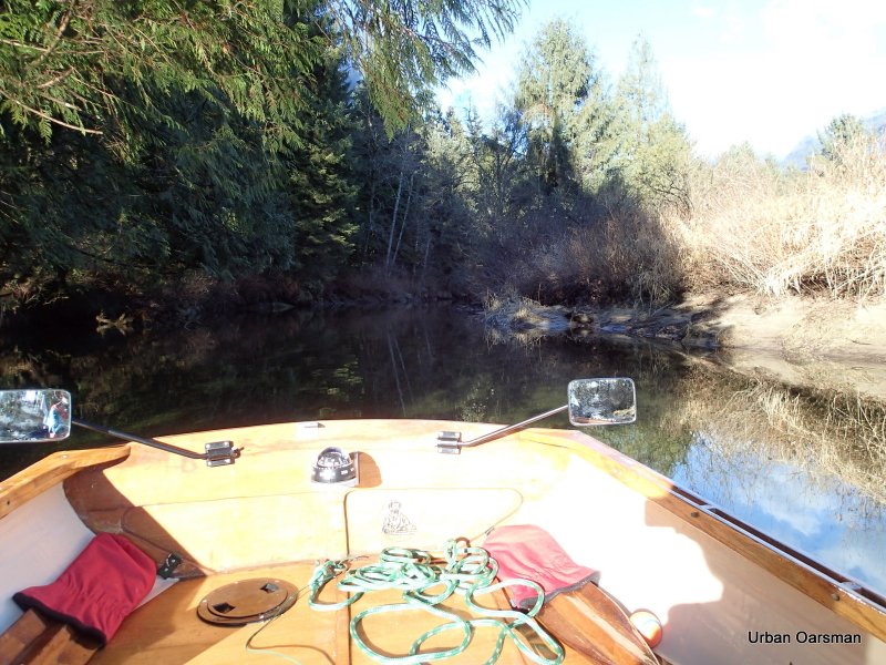
Heading up Widgeon Creek again.
Near the head of the creek, a side channel beckons. Too narrow to navigate. I will try again on the way down.
Upstream in the distance, a startled duck takes flight.
A fallen tree and rapids block the way. This is as far as I made it in my first row up Widgeon.
I beach Gwragedd Annwn and walk upstream to see if I can get around the tree and the shallows.
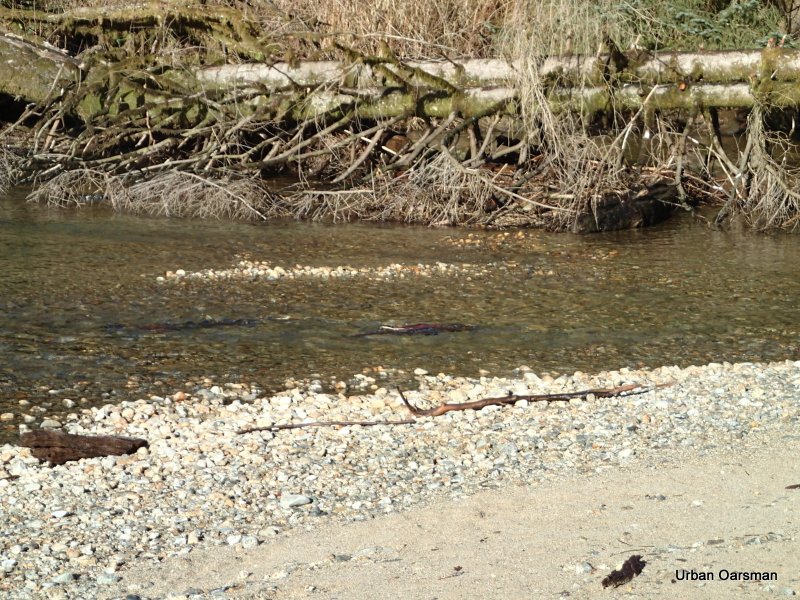
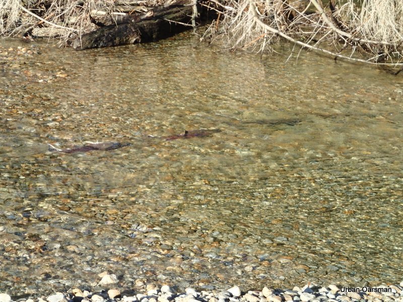
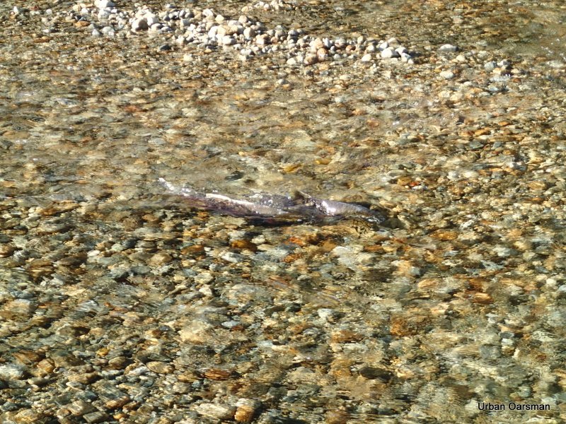
Salmon are spawning in the creek.
A male goes upstream.
Two more males follow him.
The female is the darker fish at the bottom of the picture. Two males are above her.
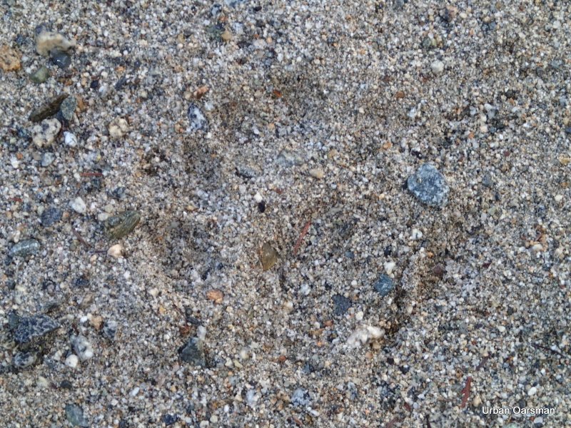
A bear footprint in the sand on the gravel bar.
Another shot of the bear footprints.
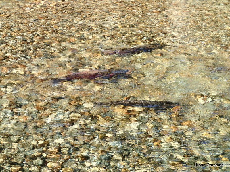
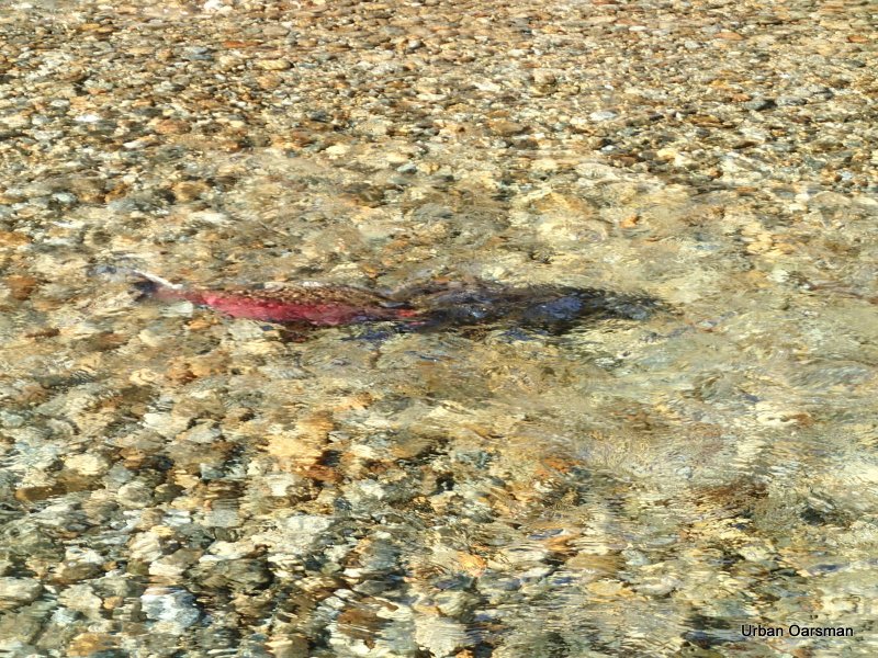
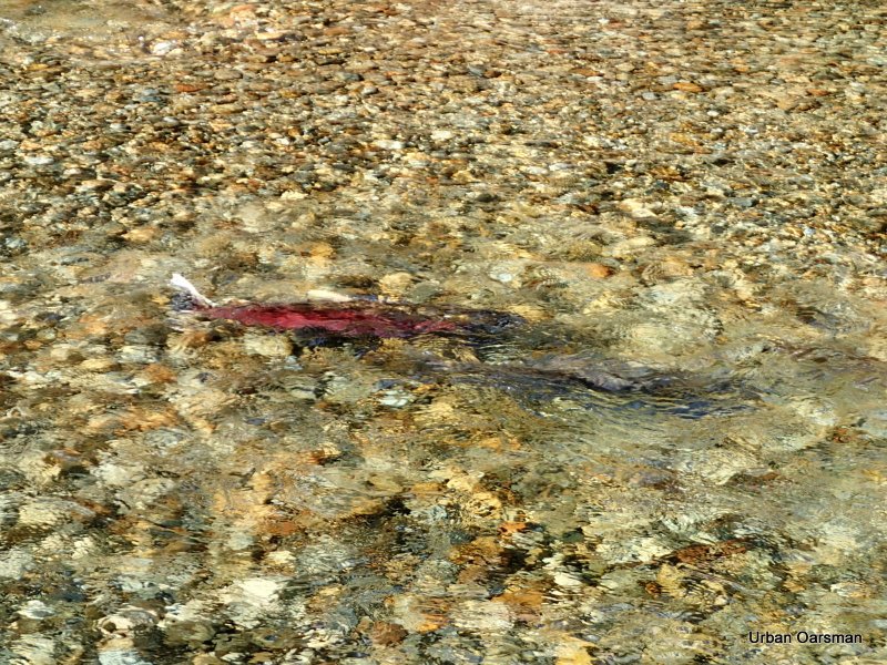
The male (red) and female (dark) salmon.
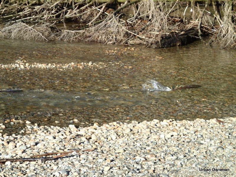
The female, on her side, digging a trough to lay eggs in.
The male and female together.
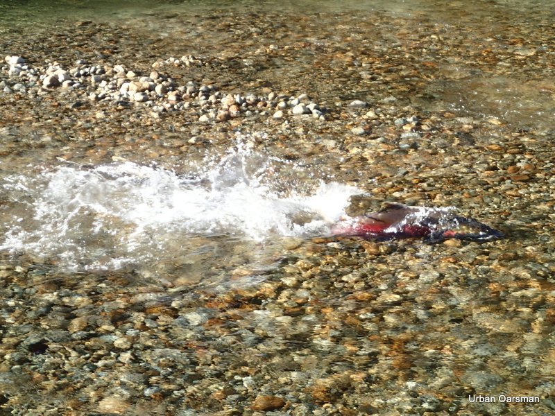
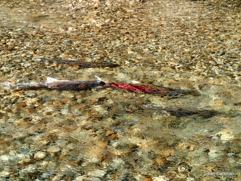
Another male goes upsteam to the female.
The four salmon I watched for a while. The reddest on was in the best shape and the most active. The two other males were very beaten up. The darker female was looking a little tired too.
This is almost the same picture as I took the first time I rowed here, but, with only Gwragedd Annwn.
I think that this is as far upstream Widgeon Creek that you can row.
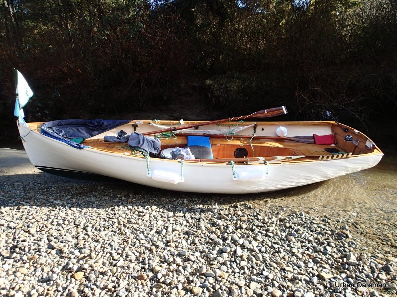
Gwragedd Annwn on the gravel bar at the head of the navigable water.
Rowing away from the gravel bar. I will row backwards down the creek for better visibility.
Looking South-West down Widgeon Creek.
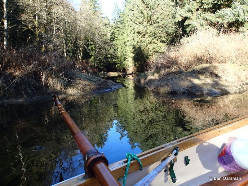
This is the side channel that beckoned on the way up. Still too narrow to navigate.
This is as far as I get without getting out of Gwragedd Annwn and lining (dragging) her through the channel. The banks are too slippery for me to drag her through.
Back in the main stream, I continue back.
There is still mist in the shadows. With the weather conditions I had, the mist came and went during the row. The main factors seemed to be: The stillness of the air and whether you were in sun or shade.
Passing the campsite on the way back.. The Kayak is gone.
Where a side creek enters.
The water level does not seem to have changed.
I continue down stream.
Behind me, the side stream where I did not get pictures of the salmon going up it.
Smooth rowing ahead.
Another one of the side streams. This one has a beaver dam on it. The dam is only a foot high at this water level, but, would be higher when the tide drops.
Looking out from the beaver dam side channel.
Looking to the South-East from the beaver dam side stream.
Looking North-East from the beaver dam side stream.
Looking due North. Entering one of the Starboard side streams.
The weeds show that the water is flowing out of the side channel.
The channel begins to become too narrow for Gwragedd Annwn.
As far up as I can go. It is hard to see in this picture, but, the current is going out (down) channel.
I row back to the main channel.
Entering the main channel.
Leaving the side channel.
An eagle, with the crescent moon overhead, dries his feathers in the sun.
Same eagle, the sunlit view.
Another side channel to explore. Canoe width. Oh well I will try…
I do not get very far. Too narrow.
Back to Widgeon Creek.
Continuing downstream.
I do not see this juvenile eagle until I am abeam of him. He is not startled by my passing.
Eagles in a tree. This tree is at the bend in Widgeon Creek at the first fork, on the oppisite bank from where the Widgeon Creek Campsite sign is.
Back to the Depth Gauge piling. The water level only a few inches higher than when I passed going upstream. The current is now going out past the piling.
Close-up of the gauge.
Good-bye “No Trespassing” cabin.
The Depth Gauge piling and the “No Trespassing” cabin are just around the bend to the right.
South view towards Siwash Island.
Two men in a canoe head upstream for an evening paddle.
They have three dogs that follow them from shore.
The stump that is in the middle of the low tide channel.
Checking out a side channel.
The channel does not go very far in.
Back to the main channel.
This side channel heads North-East, but, not very far. I do not think that any of these connect to the first side channel that I took on my way up.
Leaving the estuary behind. At high tide, there is quite a lot of shoreline to explore.
Passing by the “No Power Driven Vessels” sign.
The first non-submerged piling. It does not seem to be any higher or lower in the water.
Half-way across Grant Narrows. The current is flowing out (down stream).
When I landed I struck up a conversation with a boater who has a cabin on the lake. He said that there had been cougar sightings in the Widgeon Creek Wildlife area. A local’s dog had been attacked. Maybe those footprints I saw were cougar ones.
There is a slough that he recommended that I row. It is up river from the boat launch, on the North side. He said that locals fly fish there.
He also said that the tide does get higher. I would like to come back then.
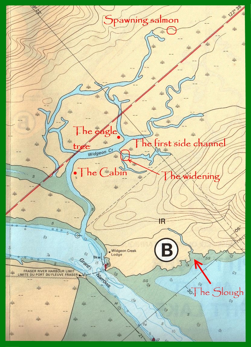
Chart showing some of the places mentioned in the text.
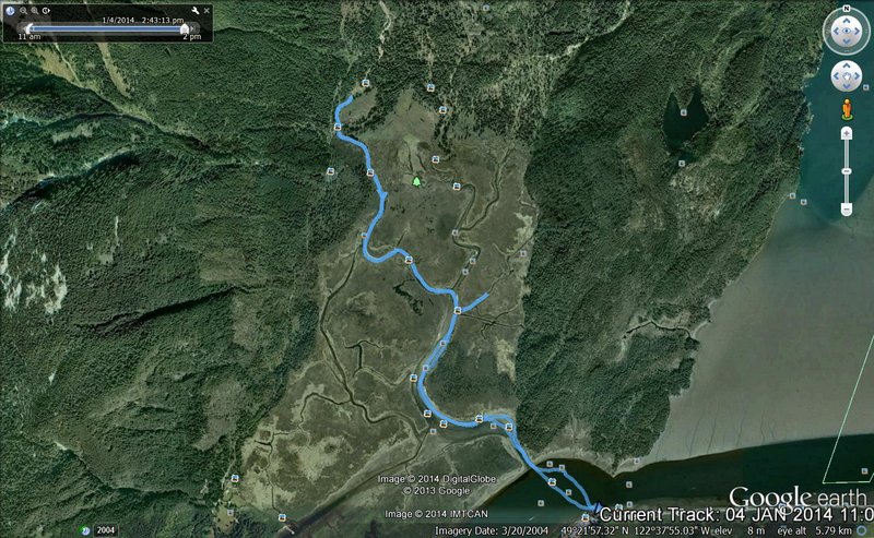 GPS track on Google Earth of the Row.
Widgeon Creek is a great place to row.
Mike
Posted in Under the Keel....
Comments Off on The Widgeon Creek High Tide Row.
Last Row of 2013, with Porpoises and First Row of 2014 with the Hollyburn Sailing Club.
Click on picture for large format photo!
Leaving the Hollyburn Sailing Club on the last Row of 2013.
The dolly belongs to another rower, out to check his crab traps.
Checking the traps.
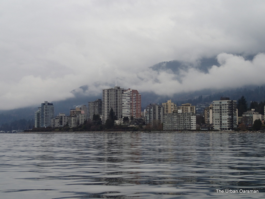
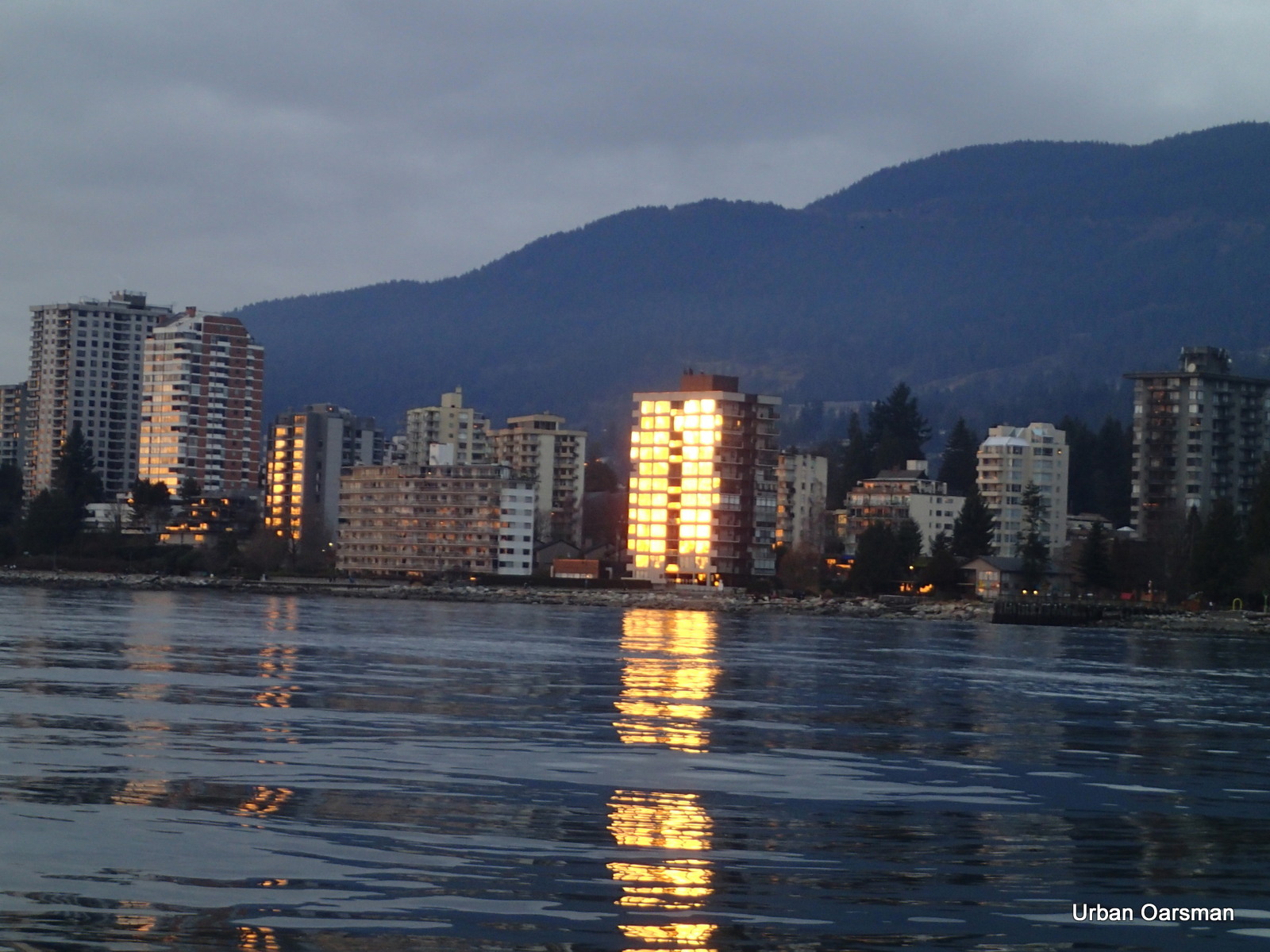
The “Pink Palace” adds some colour to the grey West Vancouver Waterfront.
A pink walker passes by the famous “Pink Palace”.
I am off of Dundarave Pier. There is a family of porpoises breaching astern of Gwragedd Annwn.
I take a lot of photos. It is not often that I see porpoises on my Rows.
At most, I count six.
I wonder what they are feeding on.
They seem to be staying in one area, off of Dundarave Pier.
The porpoise show lasts more than fifteen minutes.
This is the longest amount of time that I have ever seen them them for.
I am drifting with the current watching them.
The porpoise show is over and I row on towards Lighthouse Park.
Looking a little dark over Vancouver.
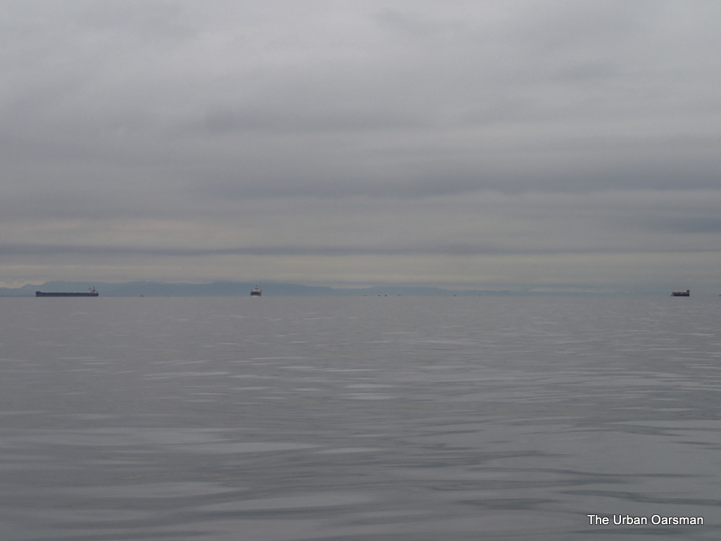
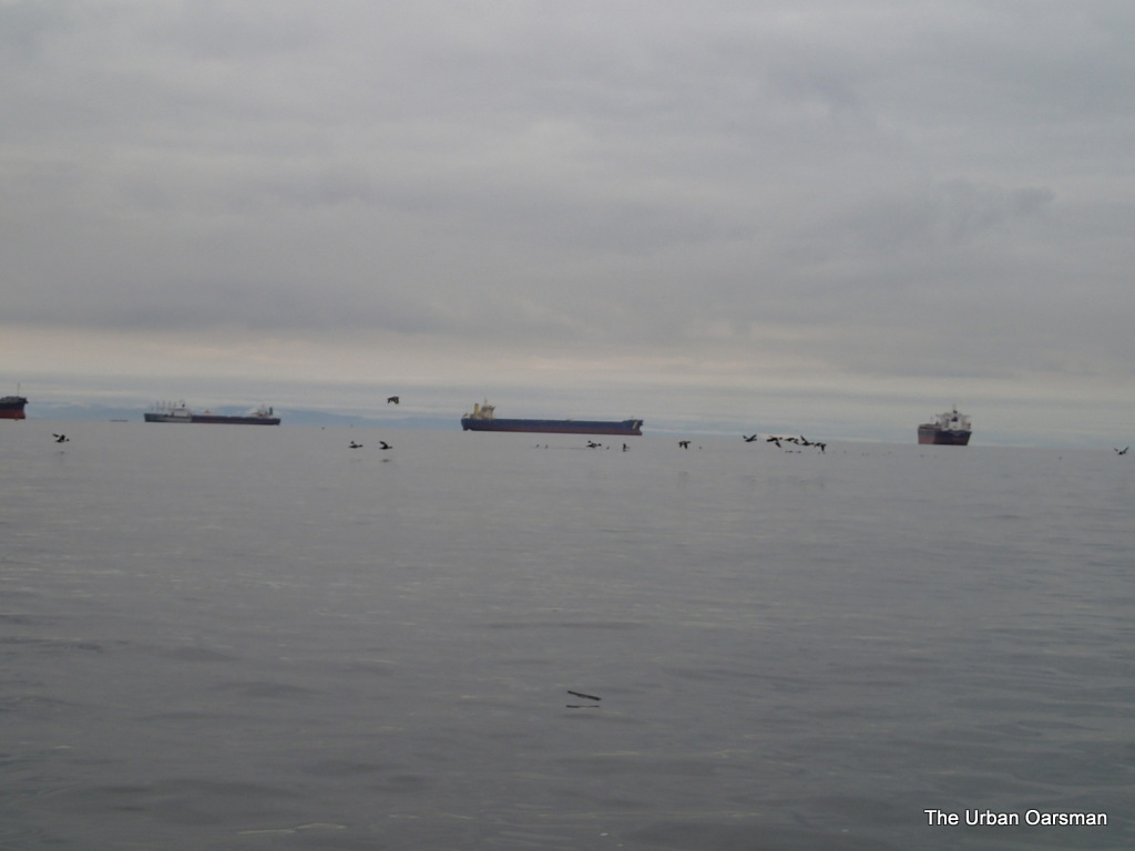
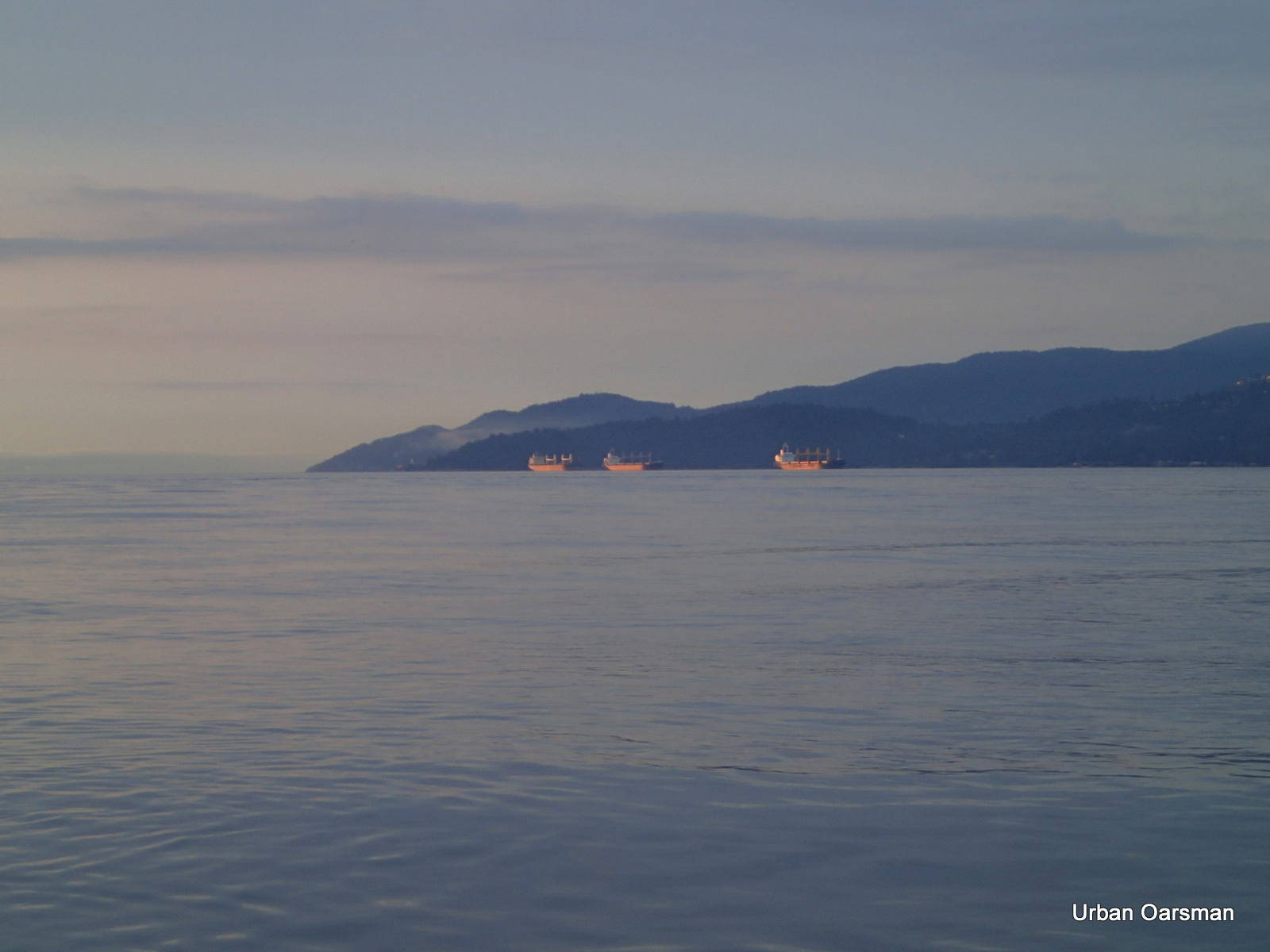
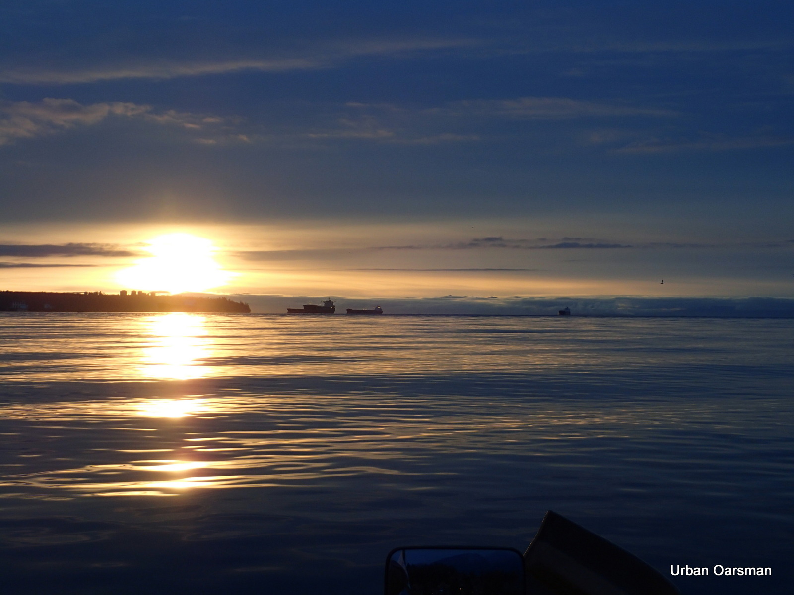
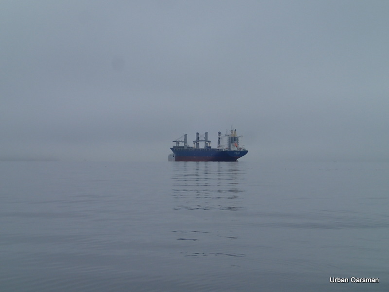
Ships are at anchorages 15, 14, and 13 (furthest to the right).
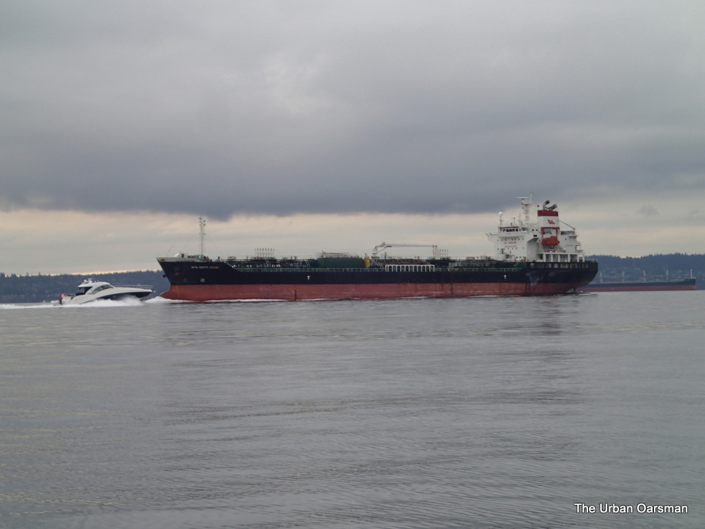
The “Spar Rigel” fires up her engines for?….
Closer picture of the “Spar Rigel” at English Bay anchorage 13.
The Freighters at English Bay anchorages 15 (Left) and 14 (Right).
Lighthouse Park and the Point Atkinson Lighthouse in the distance.
It is 4:00pm, a half-hour to sunset. Time to go back.
These are some of the highest tides of the year. MacDonald Creek outflow.
The tide is not quite high enough to row into the culvert.
I can row right up to the Lawson Creek culvert. The tide is too high for me to enter.
Bemused resting walker.
I row back to Hollyburn Sailing Club. The last Row of the year…. The annual Hollyburn Sailing Club January 1st sailing event.
The sail boats begin to assemble on the beach. Mirror Dinghy 41436 and 70282, and Albacore 7340.
The winds are light and the Kayaks and I are the first off the beach.
The kayaks are going to head west towards Point Atkinson.
We mill around, waiting for the sail boats.
A steering rudder is checked.
Roy, the Commodore of the club leads the kayaks out.
You can only wait so long for the sail boats.
Off go the kayaks.
Two of the Sailing Club members have commuted to the event by Power Boat. I am not sure how I feel about that. Apparently the Grand Banks is a good party boat with a large open cabin.
She flies the Hollyburn Sailing Club pennant.
The sail boats leave the beach. Not much wind.
Four Mirror Dinghies, an Enterprise and an Albacore.
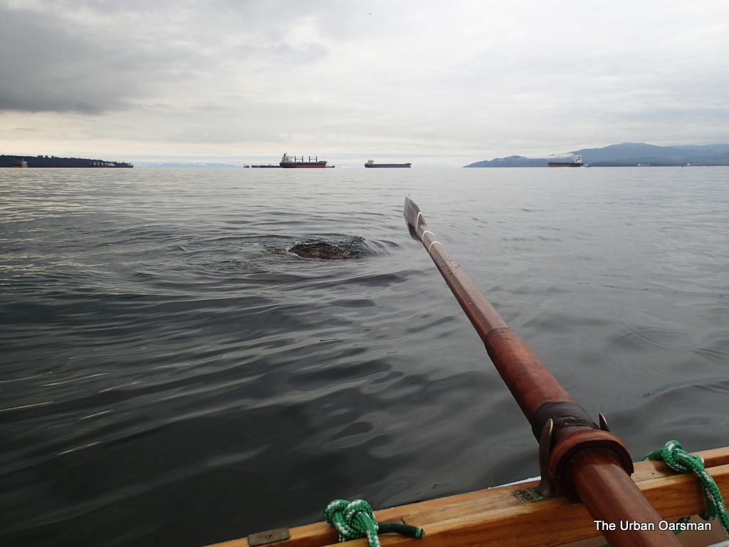
I think that I will row over to Siwash Rock.
I hope that the Grand Banks never finds a log like this.
It is waterlogged enough for me to row over it.
Salvage!!! I find a fender floating on the tide line. I pull it in. I will give it to the Grand Banks.
Is this the new Coast Guard Hovercraft?
It is scaring the birds away.
The “Penac” is creating a panic with the waterfowl.
“Penac” (pronounced panache) in the Saanich Coast Salish Language means fair winds.
She is a 20-year old refurbished former passenger hovercraft originally named the “Liv Viking”.
She was purchased from the British Government.
A few stats on the Penac…
Length: 25.4 meters
Width: 11.2 meters
Cruising speed: 35 knots
Maximum speed: 45 knots
Range: 200 nautical miles
Must be something in the inner harbour for her to see……
Penac goes into Burrard Inlet.
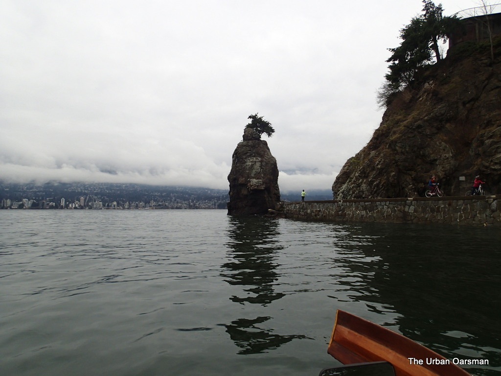
Siwash Rock.
There are a few circular rock formations in Siwash Rock.
I wonder what they are? Remains of Lava tubes?
Two sandstone boulders encased in the basalt?
The “Penac” heads back.
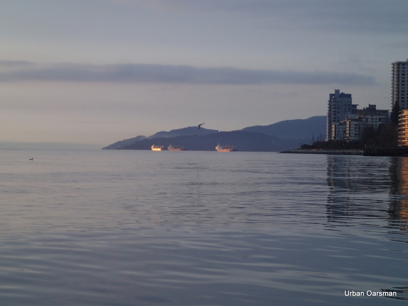
The “Penac” passing by the freighters in English Bay.
Time to row back to the club.
There is a large blue sail boat anchored off of the club.
She is the AGALAR. Where is she from?

The first Row of 2014 was s short jaunt around Siwash Rock.
No Rain or Wind. Flat Calm. A good way to start the Rowing Year.
Good Rowing for 2014….
Mike
Posted in Under the Keel....
Comments Off on Last Row of 2013, with Porpoises and First Row of 2014 with the Hollyburn Sailing Club.
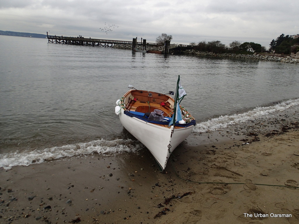
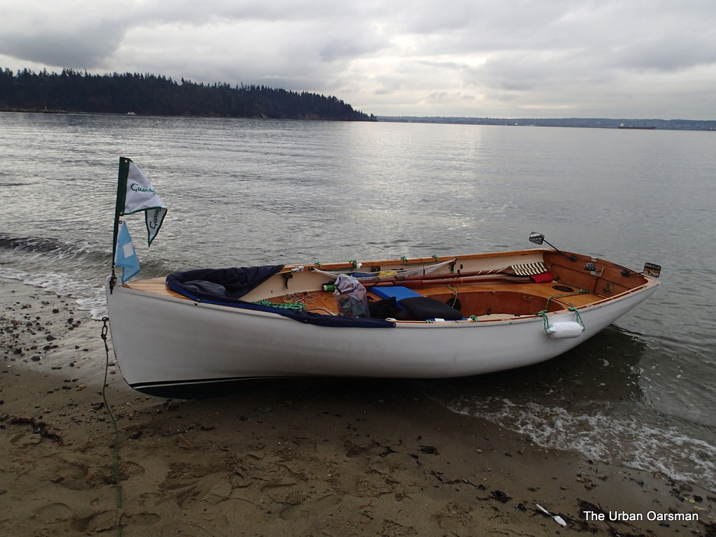
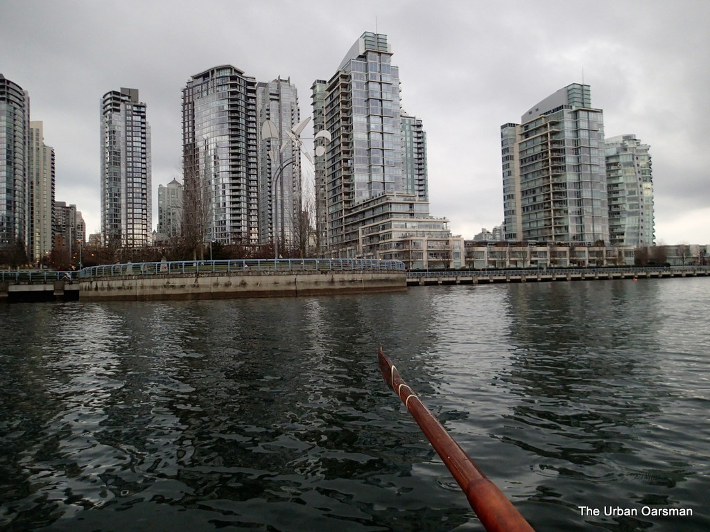
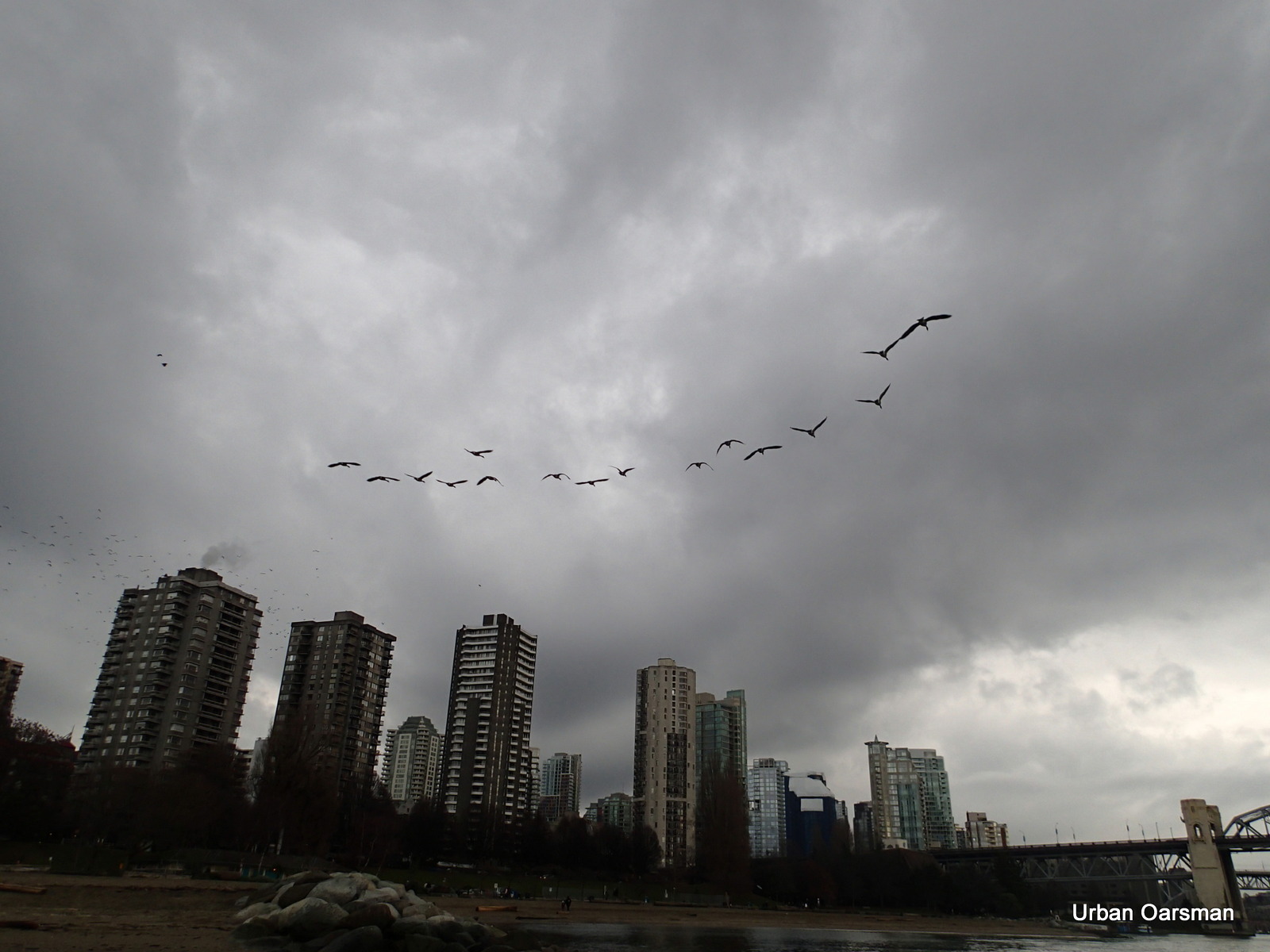
Grey Row to False Creek, Circumnavigating Siwash Rock and a wrecked Sailboat in English Bay
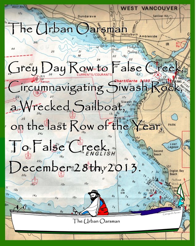
Gwragedd Annwn on the beach at Hollyburn Sailing Club, Dec. 28th, 2013.
A grey day, the water is flat. A good day to row….The last day of the year.
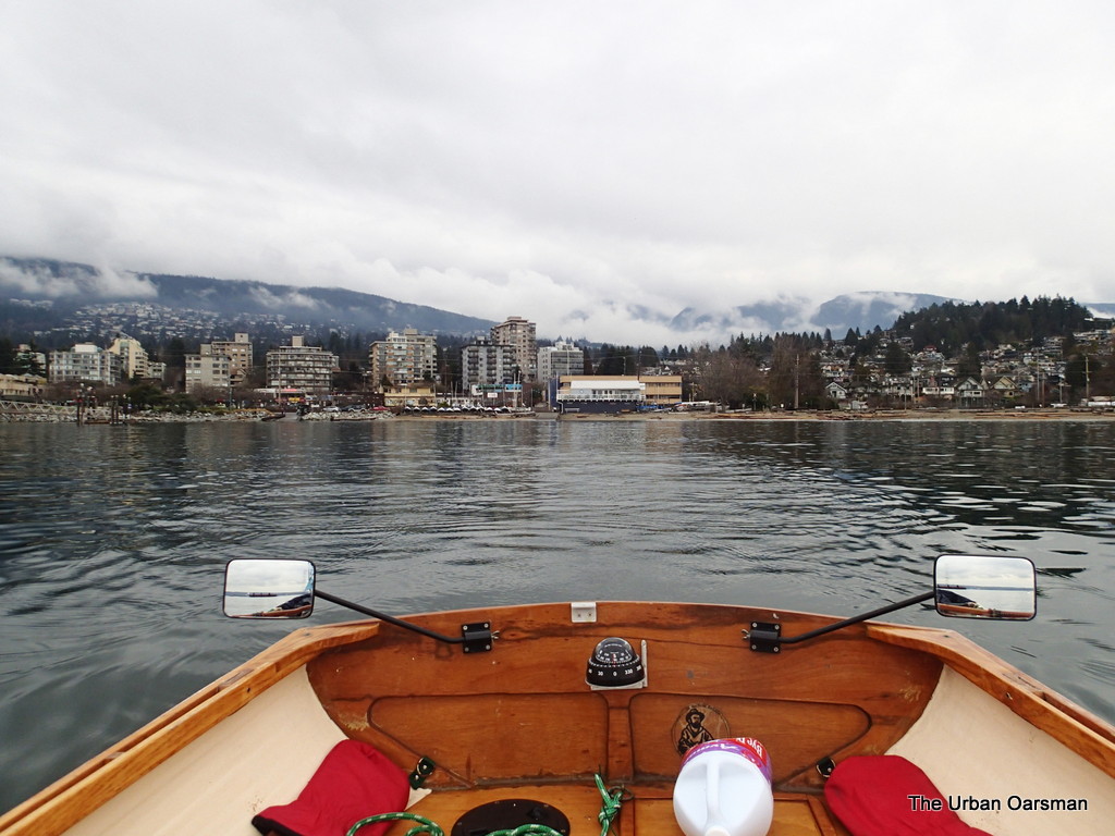
Looking to the North, leaving the club behind.
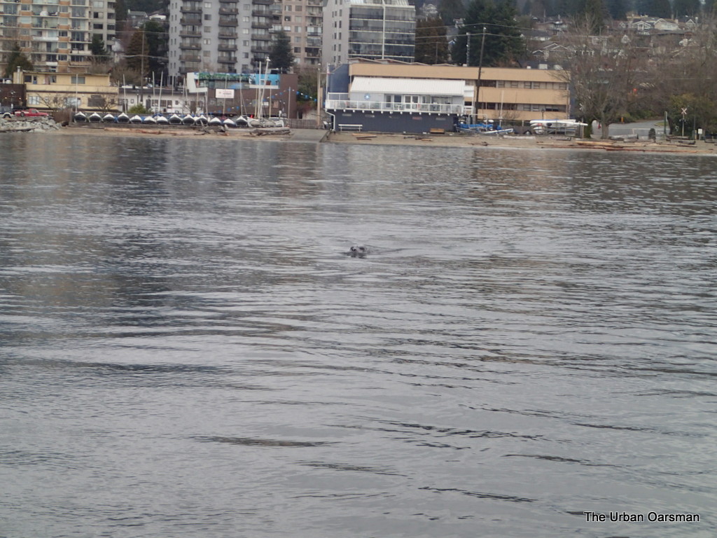
A seal follows me out, looking for fish, but I have none.
Steel grey West Vancouver Waterfront.
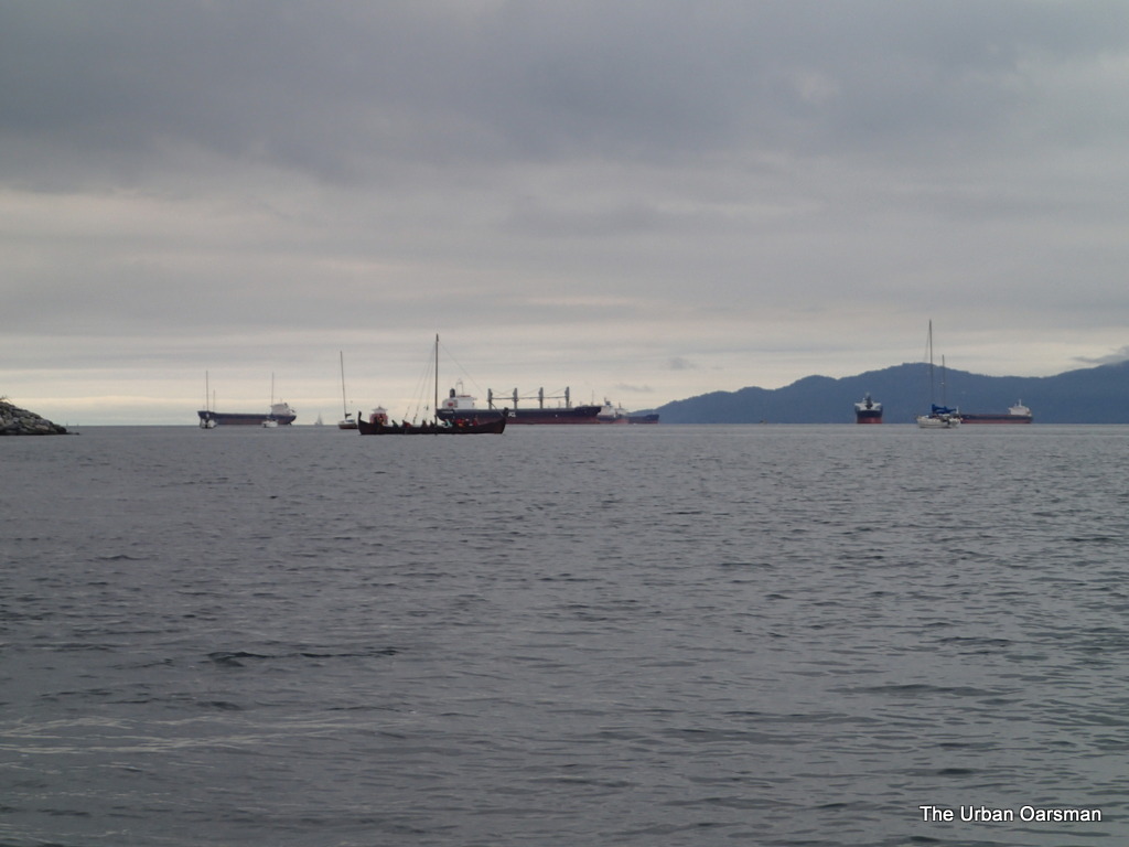
In the Distance, a freighter approaches, entering English Bay for the Inner Harbour
The freighter will pass under Lions Gate Bridge before I can cross the shipping lanes.
The Harbour Police boat shoos the fishermen’s boat out of the way.
Freighter in, power boat out.
Leaving Siwash Rock behind.
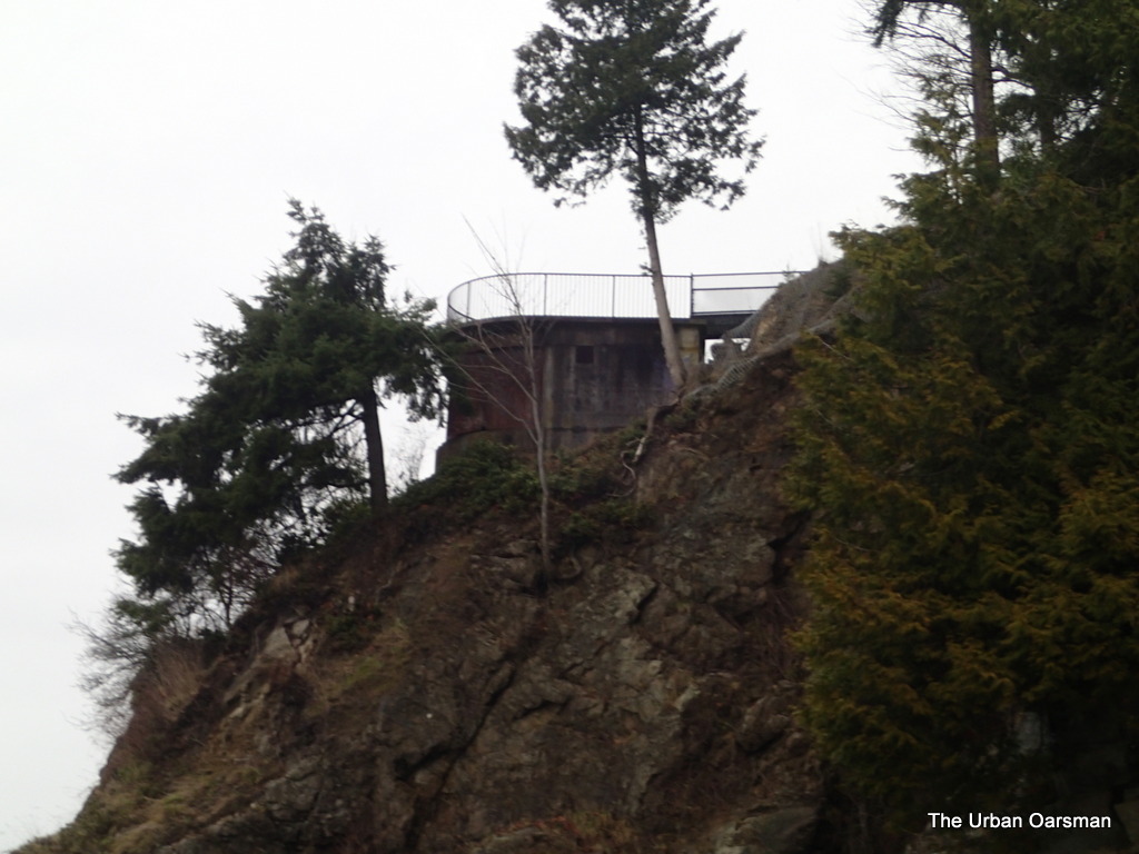
The search light emplacement above Siwash Rock.
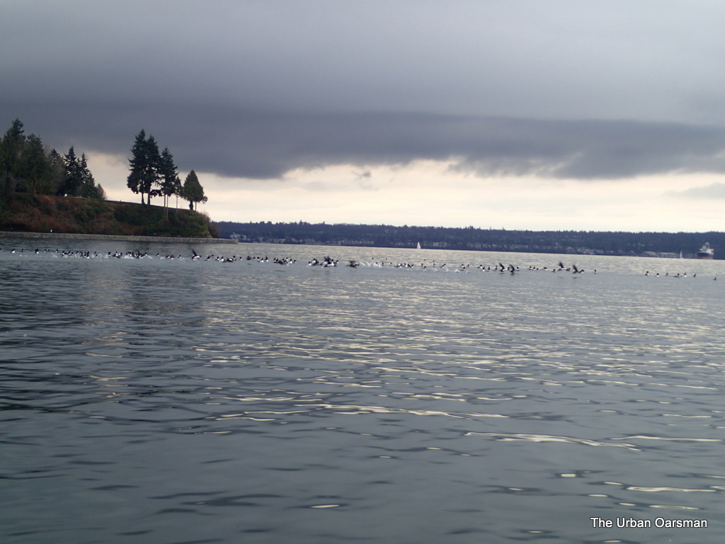
Ducks ahead.
The flock takes flight.
The ducks fly towards Siwash Rock.
Awash Rock (not Siwash Rock)
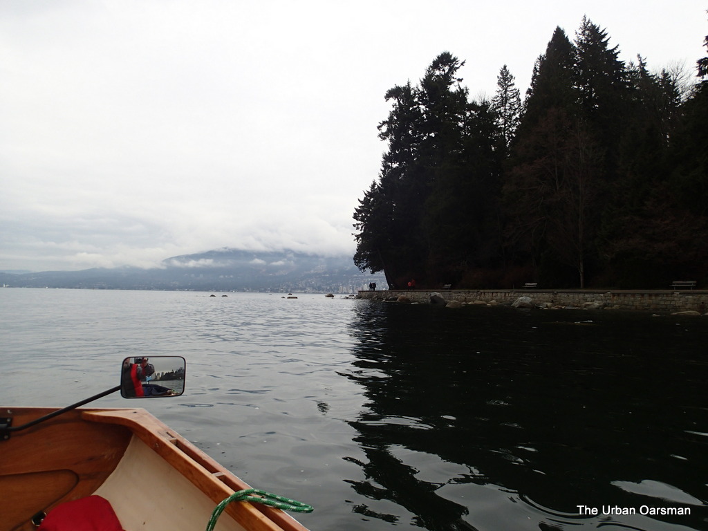
Rowing past Ferguson Point.
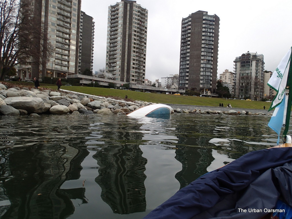
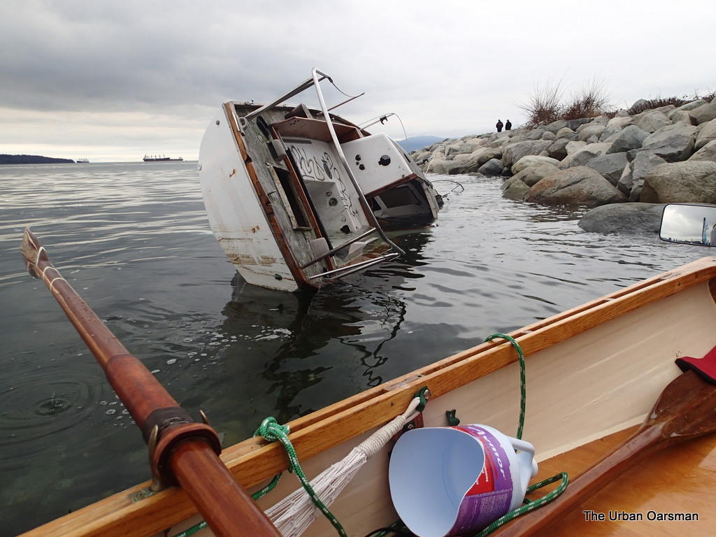
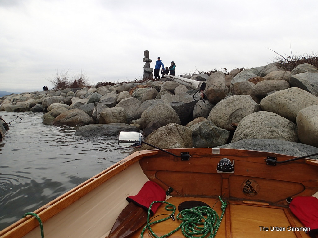
The wrecked sailboat on the shore.
Rowing closer.
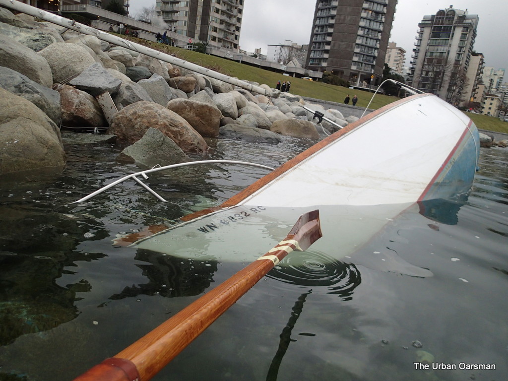
WN 6832 RC, what sad fate befell you?
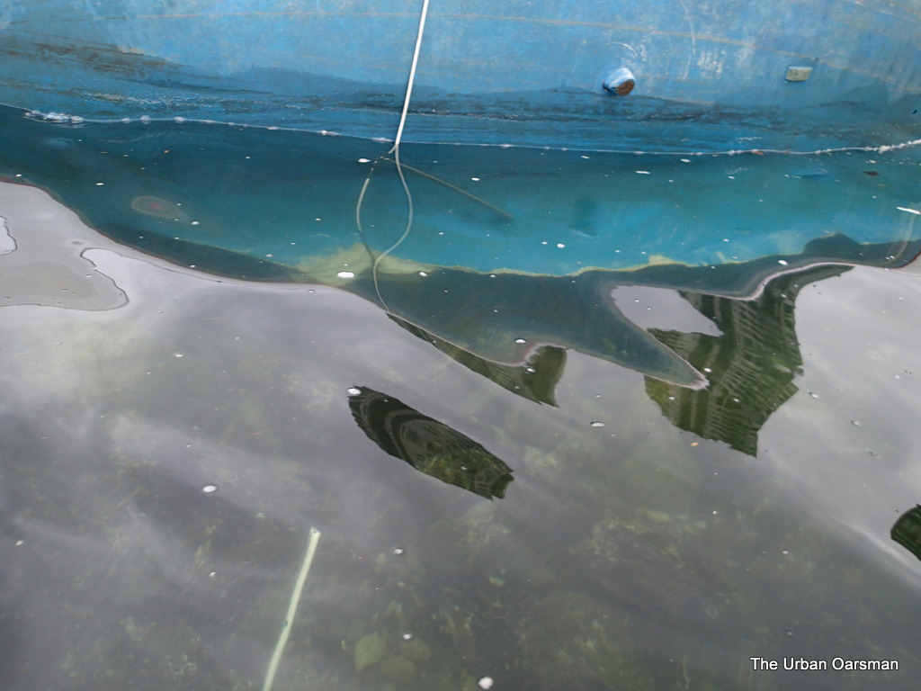
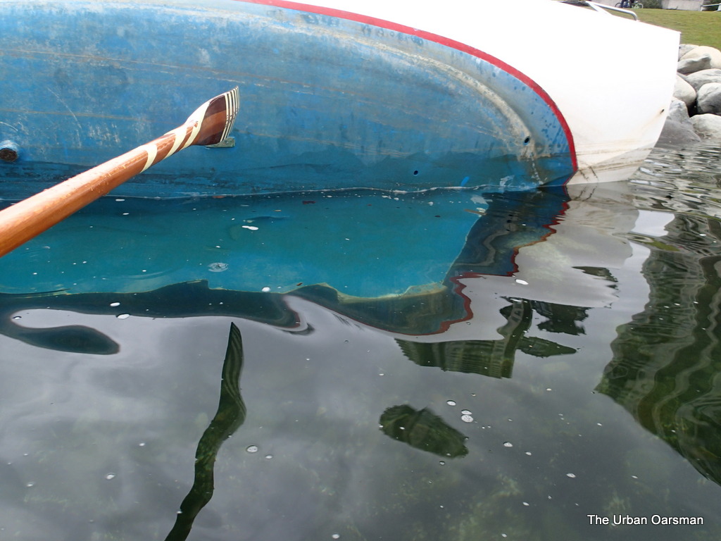
Her keel is chewed off.
Rudder is gone too.
The cabin is compromised by ocean water, her cockpit is graffitied.
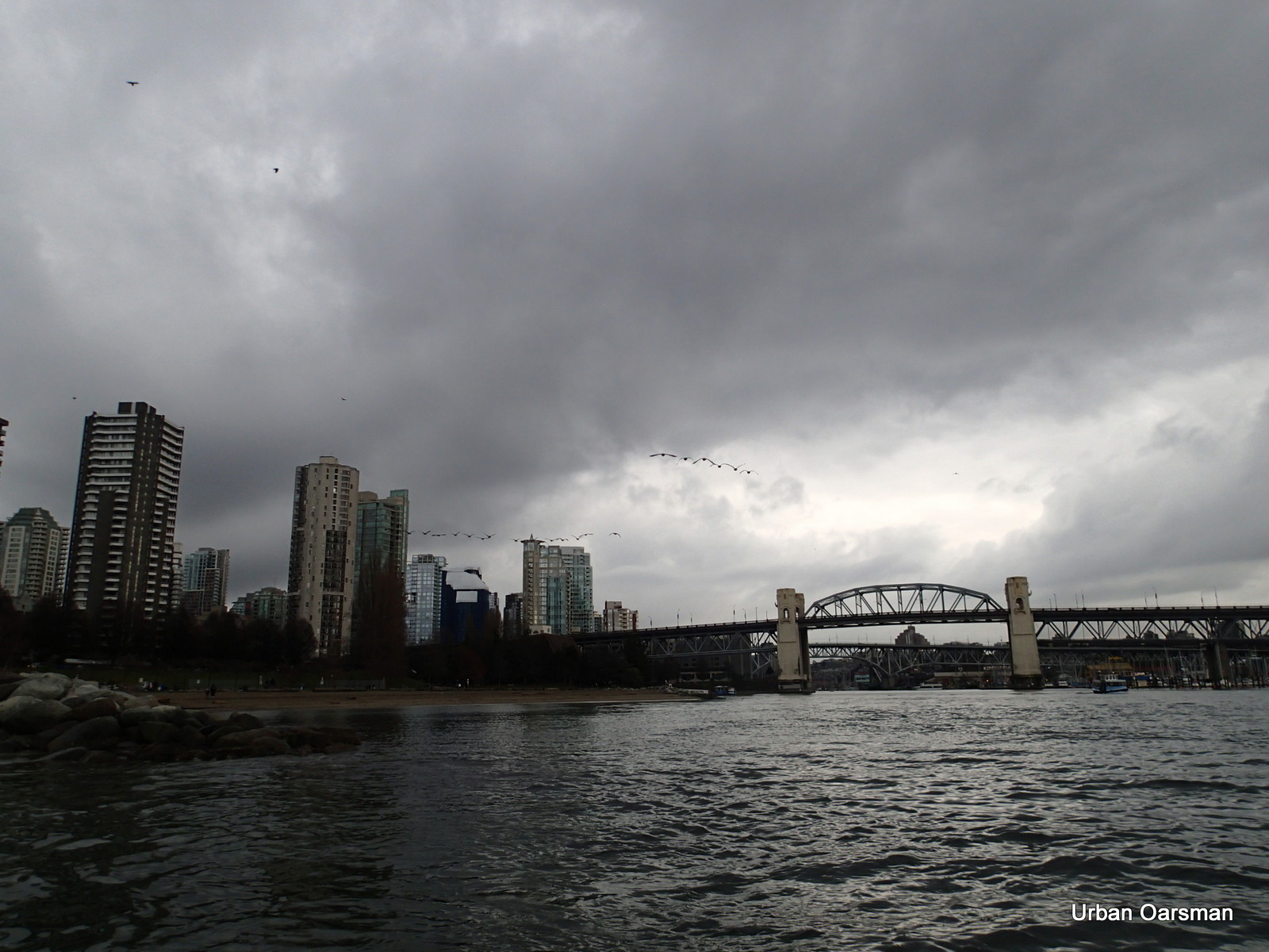
Her mast is ashore. I head towards False Creek.
The “Drip” is caged. Why?
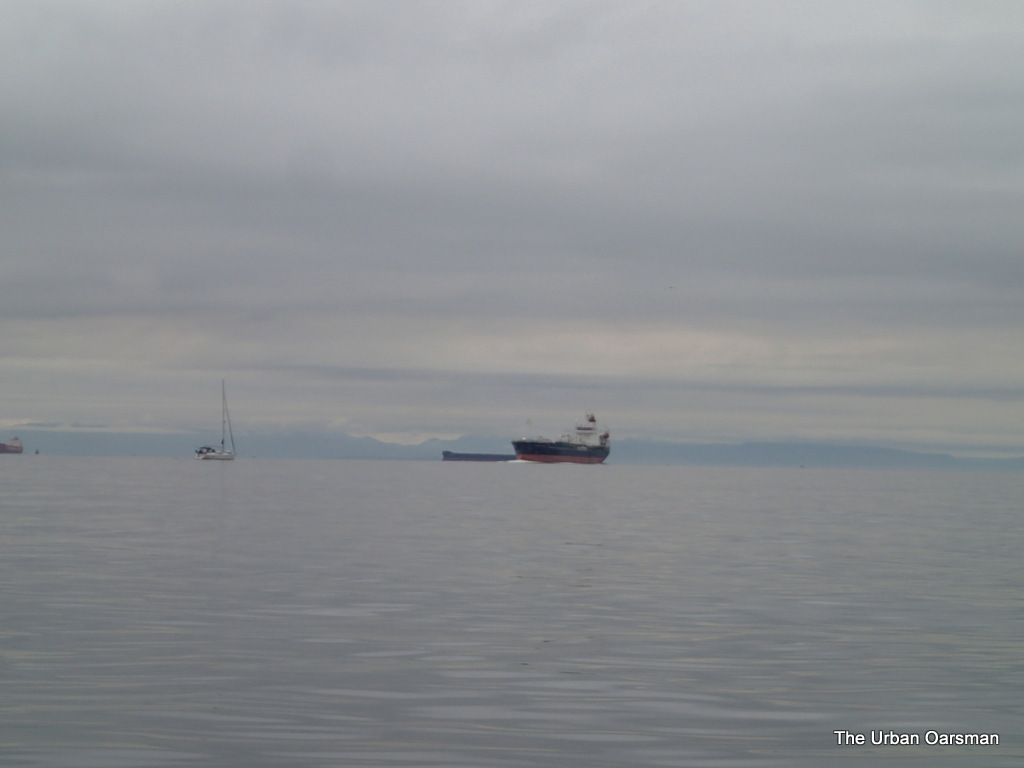
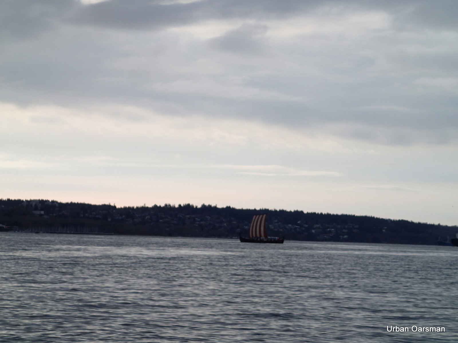
The Munin heads out into English Bay.
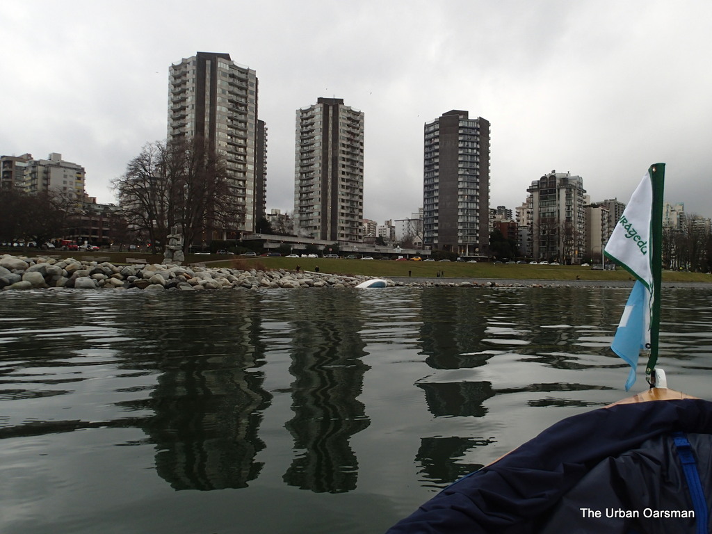
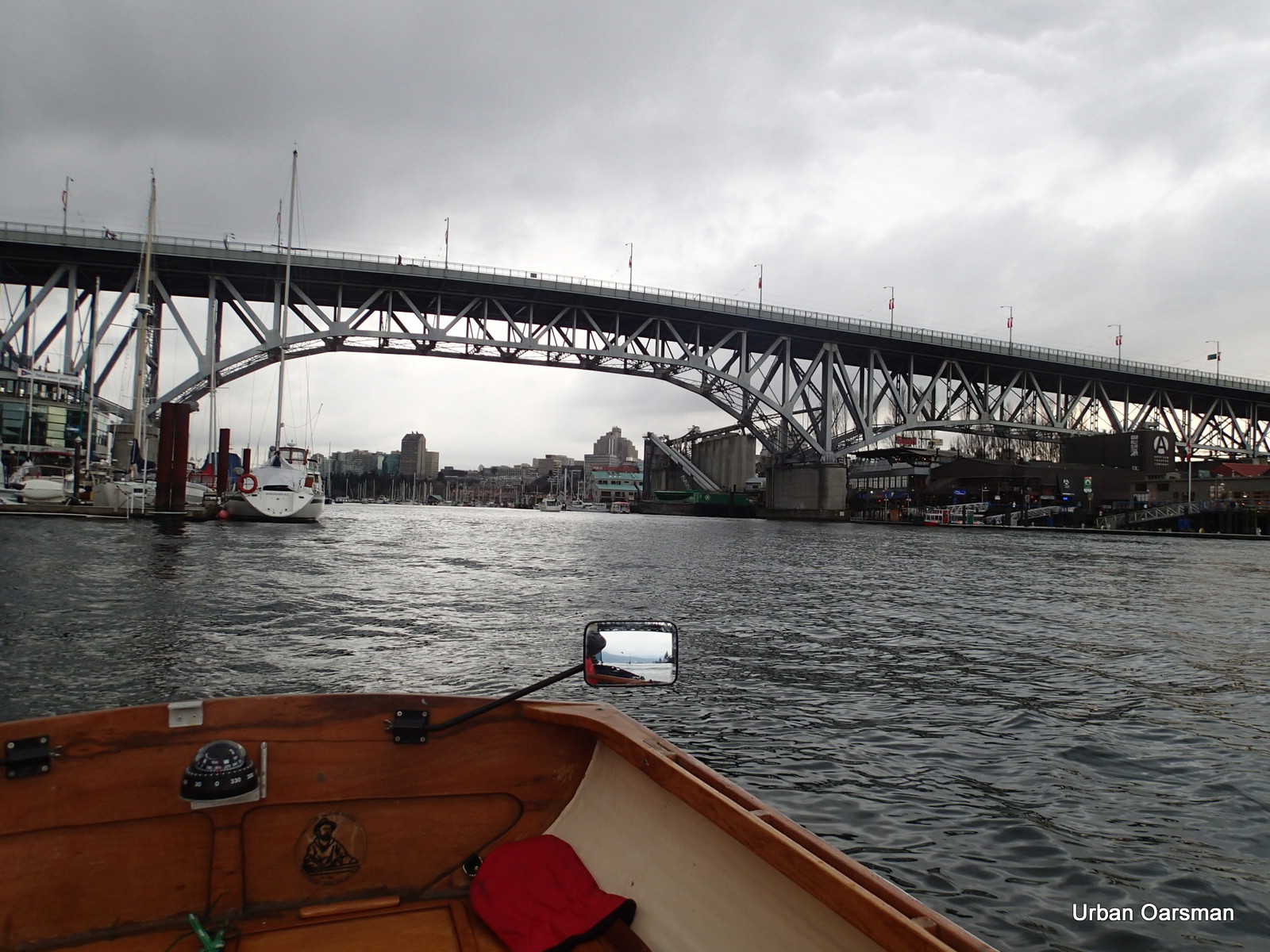
A slight breeze into the creek.
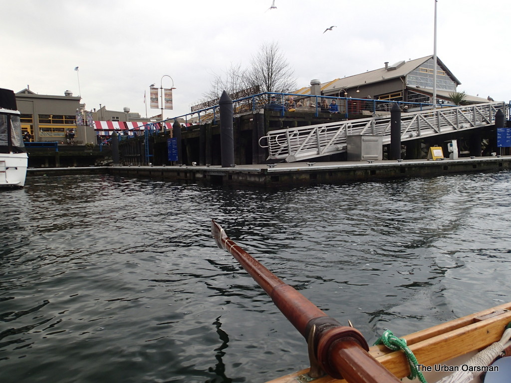
Granville Island Market.
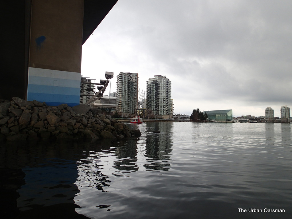
Rowing into the creek.
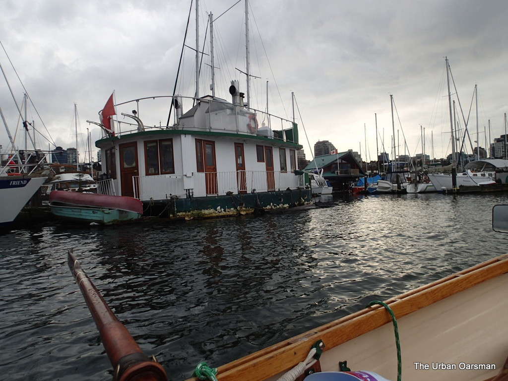
Boats on the Dock in False Creek.
There are still a few “Hippie boats” left.
A pretty cutter anchored.
No dinghies at the dock.
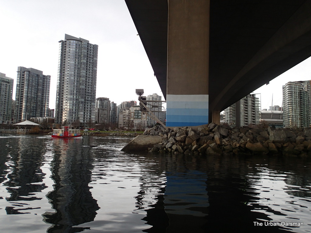
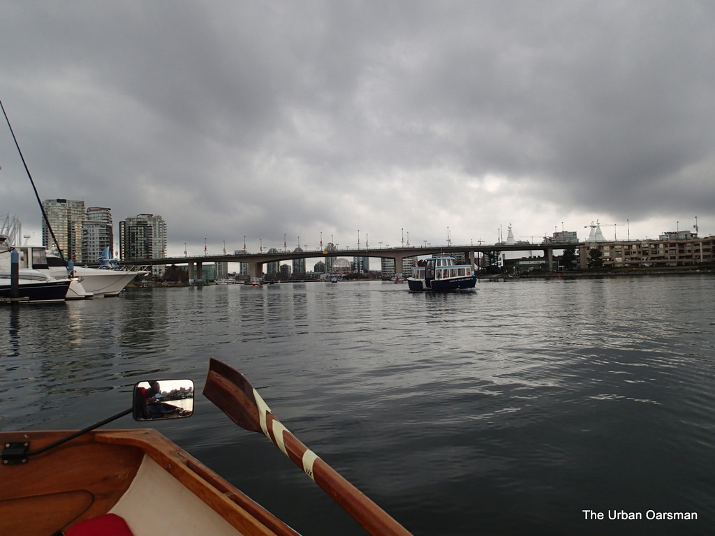
Under the Cambie Street Bridge.
Cambie Street Bridge.
Clearing the Cambie Street Bridge. The Aqua bus is a lot faster than I am.
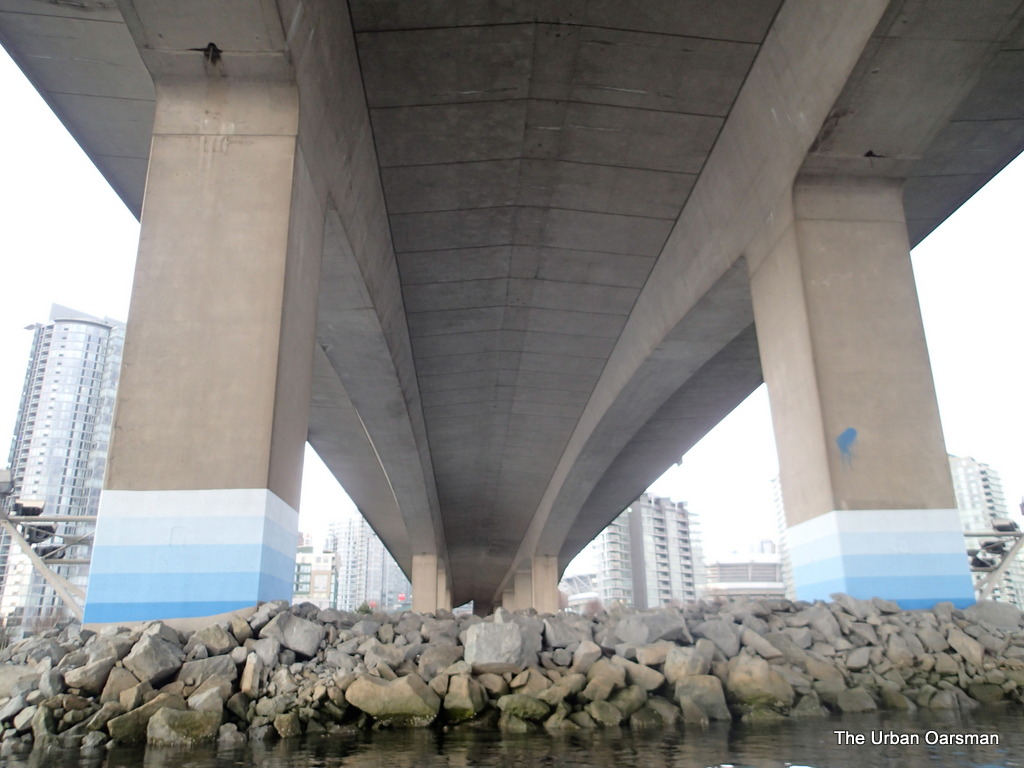
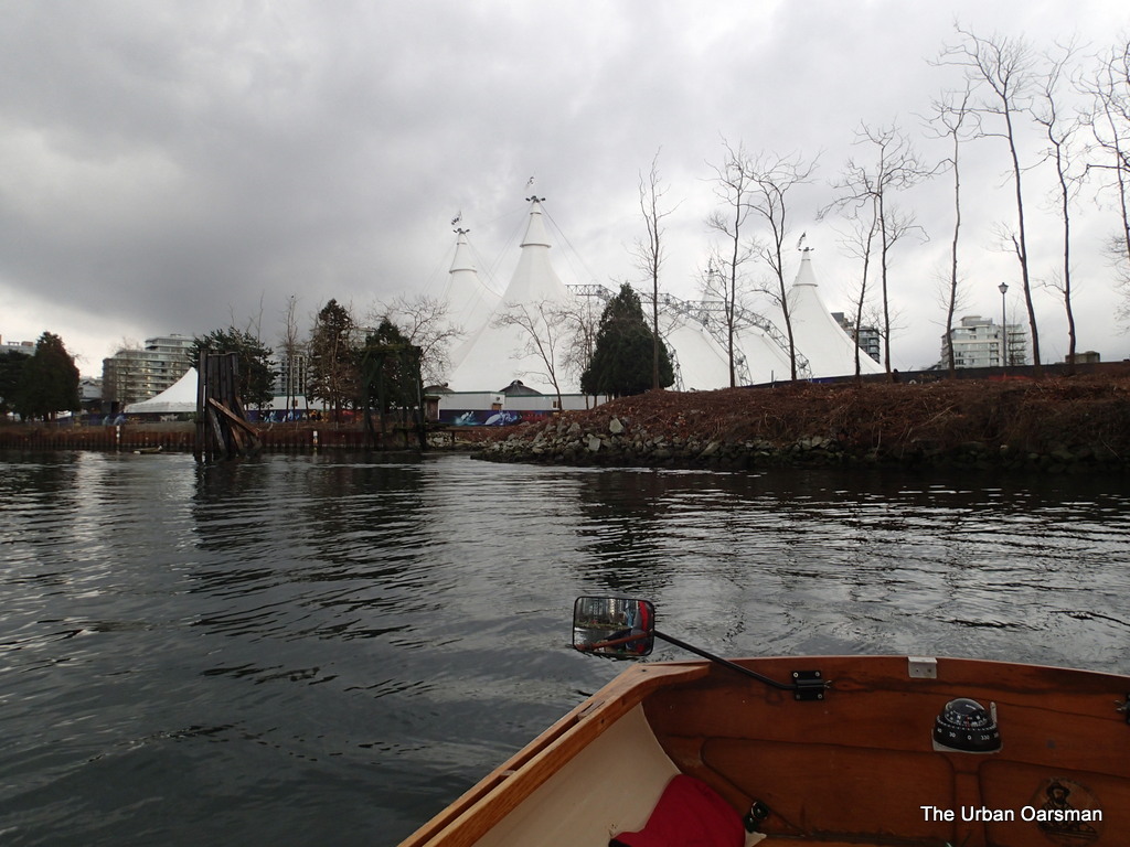
The tents where the “Odysseo” by Cavalia show is. South Side of False Creek.
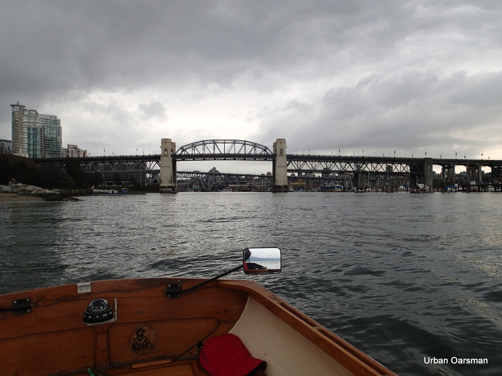
Rowing out of the Creek.
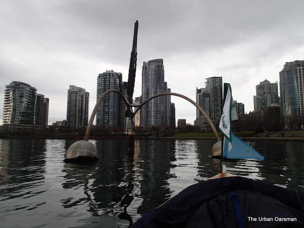
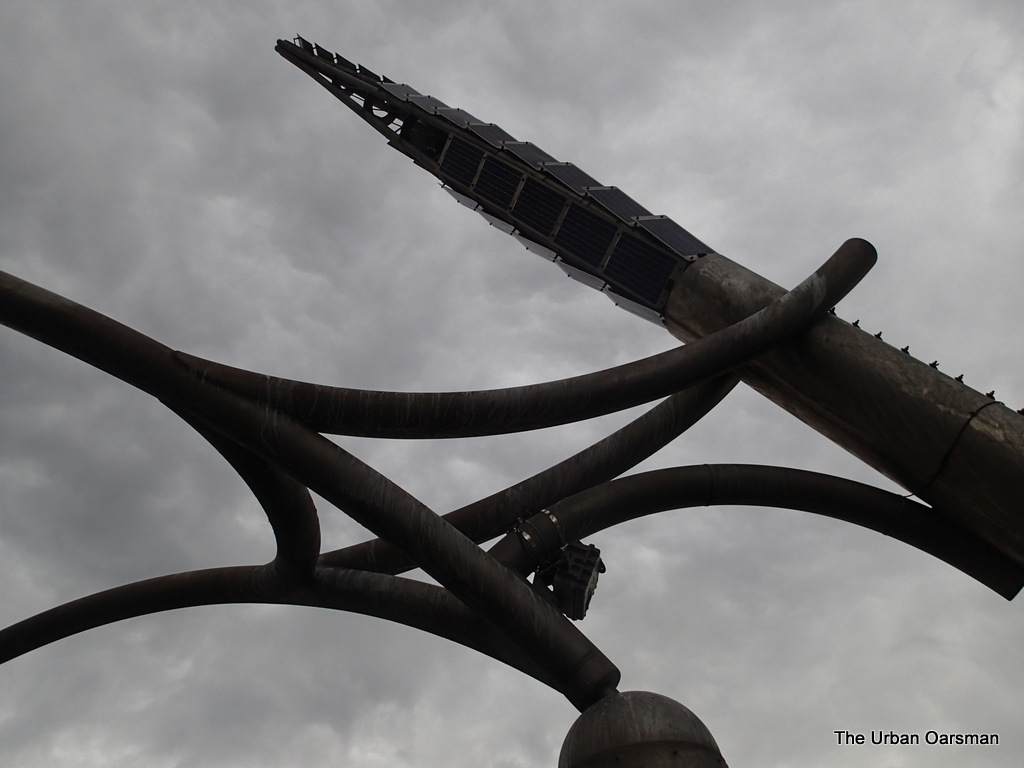
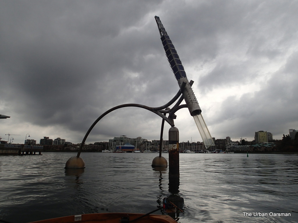
Left-over sculpture from Expo86. I have never rowed under it before.
Looking up at the sculpture.
The sculpture rotates with the tides.
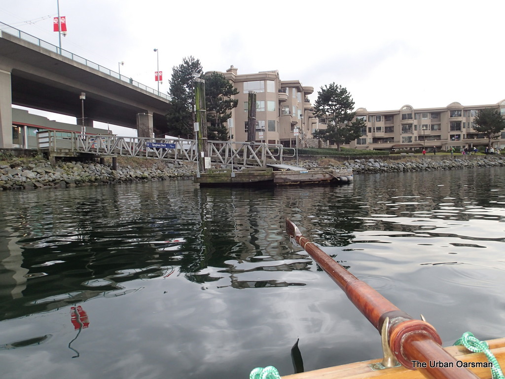
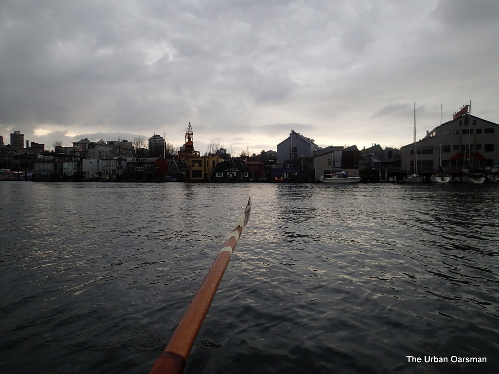
South shore of False Creek.
North Shore of False Creek.
Good-bye Granville Street Bridge.
Good-bye Burrard Street Bridge.
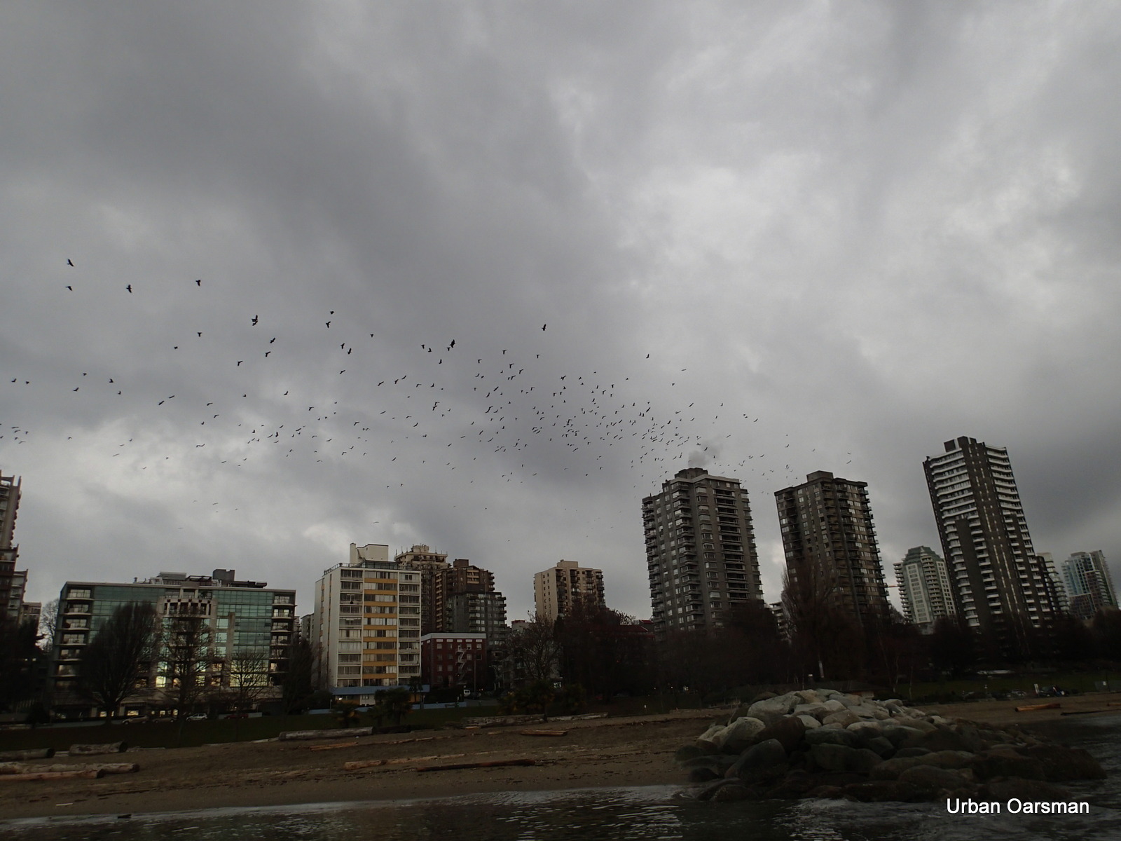
It is too early for Crow-flight. Where are the crows heading and doing?
Why are the Geese following the crows?
Leaving the Geese and Burrard Bridge behind.
The Munin heads back in from English Bay.
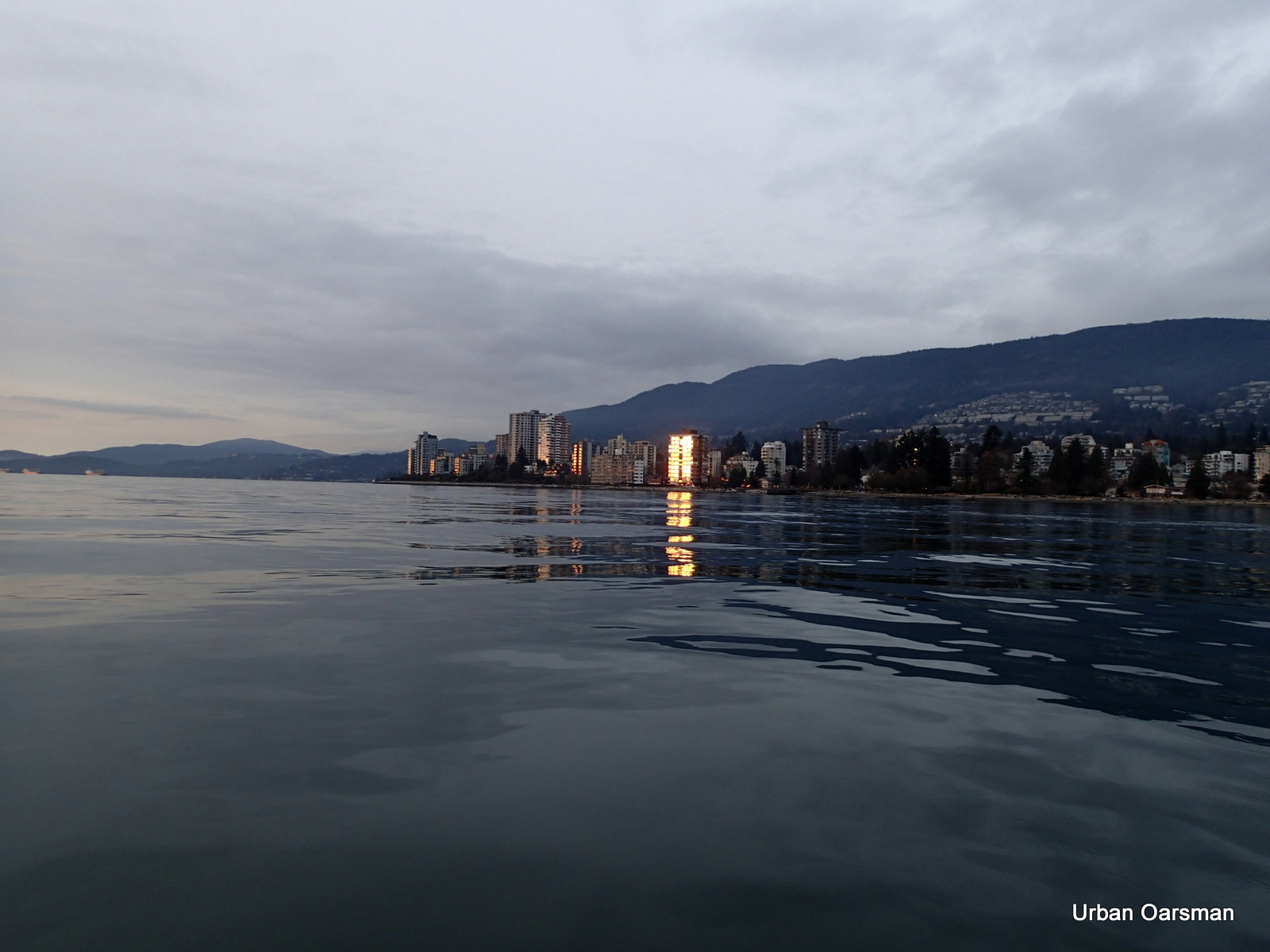
Slate grey sunset?
Reflection off of West Vancouver Building.
Close-up.
Sunset begins.
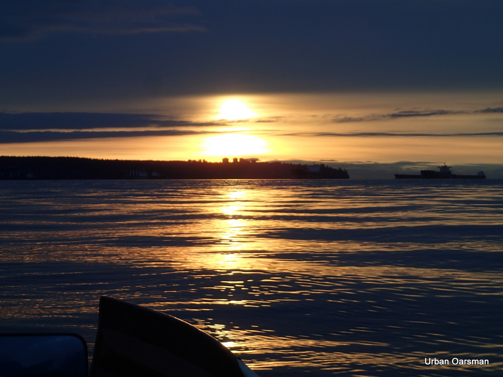
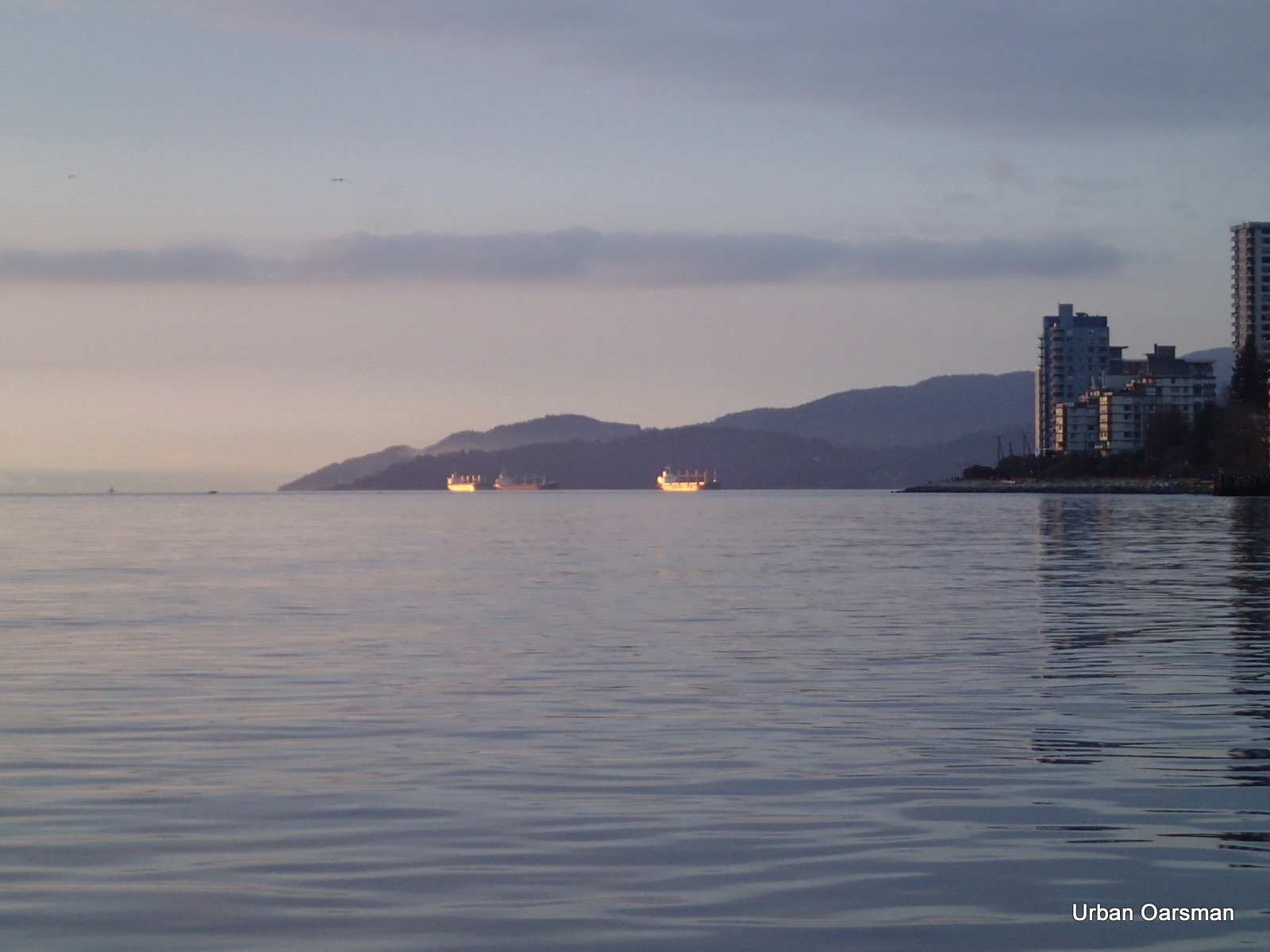
Freighters lit by the setting sun.
The sun gets lower.
The freighters still glow as the sun sets.
Getting lower…….
The freighters still glow.
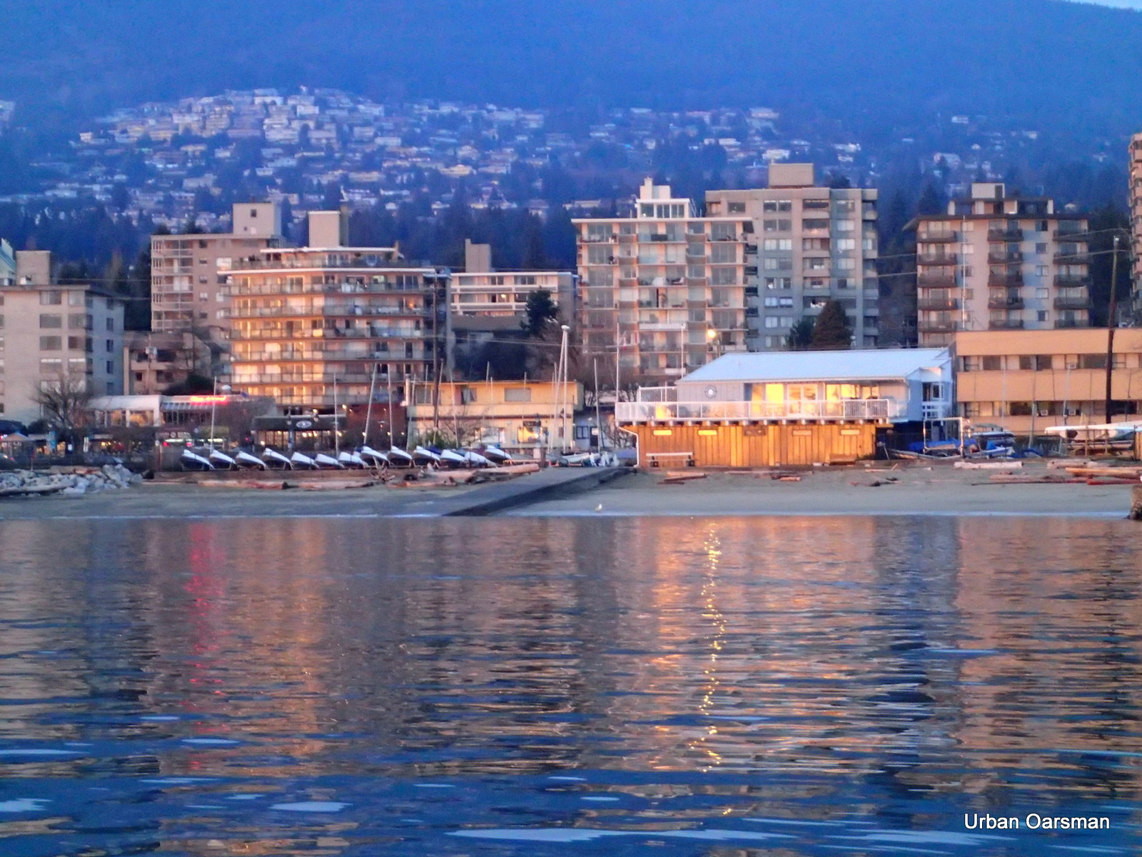
Hollyburn Sailing Club Glows in the sunset too.
Going, going, going……
On a day like this, the sunset seems to go on forever….
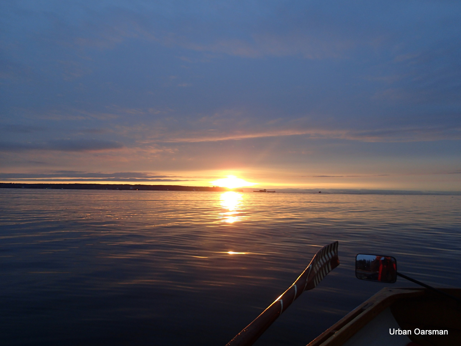
Crow-flight as the sun sets…
I row on towards shore as the sun sets.
Passing the fishing pier at Ambleside.
Gwragedd Annwn on the beach as the sun sets.
Good Rowing,
Mike
Posted in Under the Keel....
Comments Off on Grey Row to False Creek, Circumnavigating Siwash Rock and a wrecked Sailboat in English Bay
The Widgeon Creek Ice Row, Both Forks. December 7th, 2013. In the Oarstrokes of Shackleton.
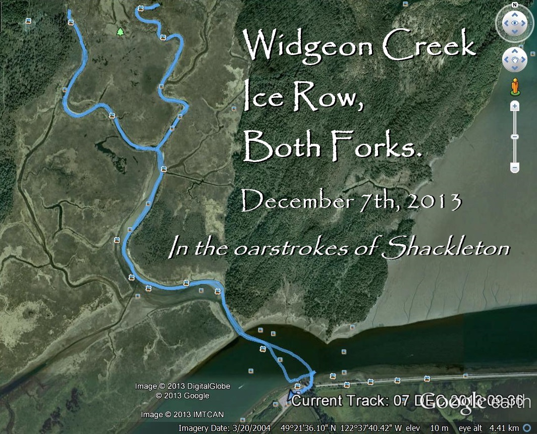
Saturday December 7th, 2013. I am going to try to row up both forks of Widgeon Creek. There has been a cold spell in Vancouver, two weeks of below freezing temperatures. Today it is clear and cold, the temperature at 10:00 am is -8 degrees. The wind is predicted to be less that 5 km/hr from the South East.
I have found a Widgeon Creek weather site, it is:
I have found a Widgeon Creek weather site, it is:
The site is from Norway! Why the Norwegians would want to know about the weather in Widgeon Creek is a mystery.
.
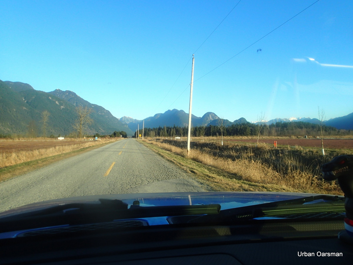
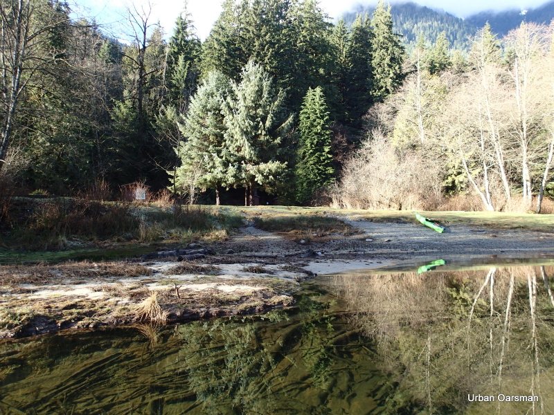
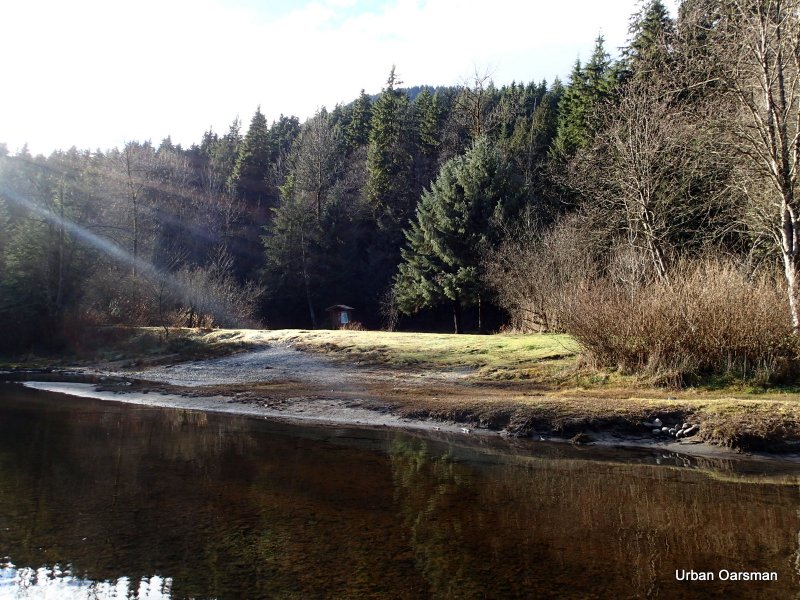
The road to Grant Narrows. The weather today is clear, sunny, calm and cold. This view is looking North towards Grant Narrows and Pitt Lake.
.
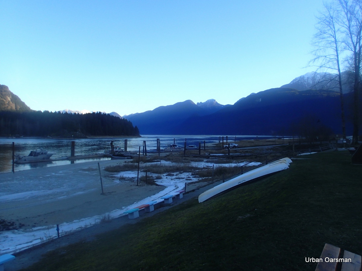
The Grant Narrows boat launch. The sun has is not high enough to shine here.
The Tide information:
Saturday December 7th, 2013. The Point Atkinson tides are:
The Low Low tide is at 2:01 am, .7 meter or 2.3 feet. The High High tide is at 9:22 am, 5.0 meters or 16.4 feet. The High Low tide is at 3:36 pm, 2.9 meters or 9.5 feet.
The tide is going to be higher than the last time I was here.
The tide is going to be higher than the last time I was here.
I am going to try to ride the tide up both of the forks of Widgeon Creek. The last time I was here on November 25th, the High High tide was at 11:08 am at Point Atkinson. The tide was still rising when I left at 3:00 pm. The high tide should be an hour and thirty minutes earlier today. I plan to row from 10:00 am to 3:00 pm. Will the tide peak during my row?
Just visible is the delta going into Pitt Lake. It runs from the left point across the picture to the right.
.
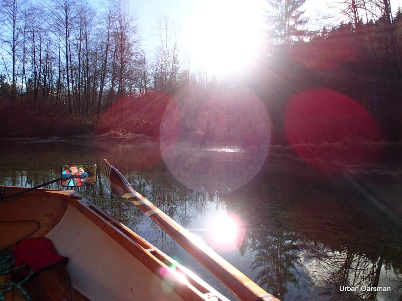
The morning sun on Widgeon Creek Estuary. It is cold. I am dressed for the cold. I have my long underwear, top and bottom, woolly socks, undershirt, long sleeved shirt, pull over fleece, wind breaker jacket, scarf, hat, toque (if windy), life jacket, and a blanket. I also have some pogies to row with for my hands. I have some boot and hand warmer packs.
.
There is a boat in the estuary.
.
Launching Gwragedd Annwn.
.
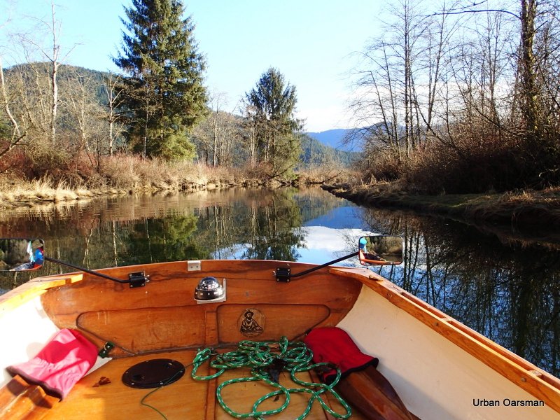
Gwragedd Annwn at the dock, ready to row.
.
Looking towards Pitt Lake. In the short time that I have been here, the delta has submerged.
.

Grant Narrows is the border for the Harbour. A beautiful morning for a patrol.

Leaving the dock behind. I am going to row South along the docks and then make the crossing. There is a one and one-half current going up river into Pitt Lake.

Icicles on the bow of a moored boat.

Wow!, as I enter the estuary, I find that it is frozen. There is a channel in the ice from the boat I saw earlier that I am going to follow. I am rowing in stern first, so I can see exactly where I am going.

My oar is resting on the ice. It is between 1/4 and 1/2 inches thick. In some places my oars go right through and in others they just bounce off the ice. This could be a very short row if the ice conditions do not get better. A few times I have to take two runs at the ice to get through.

Looking back East from where I have come.

The channel has a lot of ice in it, but there is some clear water ahead, where Widgeon Creek flows.

Just around the bend in the clear flowing water. The main channel of Widgeon Creek is free of ice.

The crew from the Arctic Joule, the boat that attempted to row the North West Passage in 2013 gave a presentation at the Centennial Theatre in North Vancouver, on Nov 26th (Tuesday) at 7.30 pm, just blocks away from my house. They shared stories from their rowing expedition in the Arctic. They had pictures and film clips from the expedition. Their boat “The Arctic Joule” was on display outside the theatre. What a lot of windage their boat has. Their training regime seemed to be training to be miserable or training to be used to being in miserable conditions. This photo reminds me of what the shoreline usually looked like in their photos.
Their website is http://mainstreamlastfirst.com/. It is worth a look.

Continuing up the channel. The channel is wide enough that I feel confident rowing bow-in.

The water is really clear. I move over towards the shore to have a closer look.

The ice sheet is frozen to the top of the reed beds. My oar is resting on the ice frozen to the weeds.

Continuing up the channel.

Do these rings of ice indicate the high water level?

An eagle flies off.

Why are these icicles bent downstream? Current? Wind? What?

The Cabin depth gauge shows three feet. May be shallow going upstream.

The “No Trespassing Cabin” and dock. Note the ice forming.

A little ways upstream from the cabin. There are icicles hanging from the branches. Any branch hanging into the water had ice on it. I noticed that my oars were starting to get ice on them.

Interesting ice formation. What caused the ridges?

An eagle in a tree overlooking the creek. I saw more eagles on this trip than any other one.

The first side channel. In the past it has been too shallow to row up. Today it is too frozen.

As far as I can row before I hit the too thick ice. Where ever there is no current there is ice.

The fork in the Creek. The left fork leads to the camp ground, the right to the head of the creek. I choose the right fork and row to the end, hoping to get further than the last time.

The left fork to the campground.

Going up the right fork. According to the topo maps, the two forks join, because upstream Widgeon Creek splits into two to go through this marsh. I hope to row up one fork and back down the other.

This is where I have to line (walk) Gwragedd Annwn upstream. Last trip there was a coyote on this point. The water seems to be at about the same depth as the last time. Upstream I trudge.

Lining Gwragedd Annwn upstream. The red object on the centre seat is a “Pogie” (rowing glove).

A side channel that can only be reached at high high tide.

Does this ice sheet show the highest water level?

Last trip I rowed into this stump on the way up. I have learned from experience and avoid it this trip.

The right fork shallows again. I line Gwragedd Annwn upstream. This is about as far up as I got the last trip. I really want to push up as far as I can.

Pulling Gwragedd Annwn up through the shallows. Her bow line is 100 feet long and I can pull her over the shallows and into the channel as I work my way upstream.

A deeper spot in the creek, at the top of the shallows.

A tree blocks the way. It has been undercut by the current and fallen from the bank into the creek, blocking the channel. I row up to the tree, but, there is not enough water to float Gwragedd Annwn over it. and there is not enough room to pass between the branches.

Should have brought a chainsaw. Probably would not be legal to cut it up to make a passage. I wonder how far further upstream I could go if the tree was not in the way.

Gwragedd Annwn, bow resting on the tree. I need 8 inches more water to float her over the tree. No way I can pass this obstacle. I do not see the end of the fork ahead. How far could I go from here?

I back off of the tree and float downstream. This is as far as I go. Time to try the left fork.

I am running the creek backwards so I can see where I am going. On the way down, I grounded several times. I sat on the side of Gwragedd Annwn to tip her on her side and reduce her draft to get across the shallower spots.

Frost on the banks in the shade.

Rowing down the right fork near where the two forks meet.

Rowing backwards up the Left fork so I can pick out the channel through the ice.

Continuing up the left channel. A side channel beckons.

Ice has blocked the channel. Many of the side channels are too narrow for Gwragedd Annwn to row in. I would have to pole her up the channel. I am thinking of putting a sculling notch in her transom just for such occasions.

Ice along the edge of the channel.

This photo shows a side pool being flooded by the tide. I know that the tide is still rising as it is filling this pool. Notice the ripples to the left of the photo. That is the water flowing into the pool.

There is an eagle in the tree around the bend.

Close-up of the eagle.

With the reduced flow and the width of the channel, picking the deeper channel to row in is not easy. There is another eagle in a tree, top centre right of the photo. This eagle did not fly away and I saw it again on the way back down.

Interesting light pattern on the bottom. The left fork is wide and shallow here.

Looking south back from where I came from.

The channel ahead. It looks like there has been movement in the main channel. I am trying to row up the deepest one.

I pick my way upstream. I looks as if high high tide has not yet been reached.

Past where the channel has shifted. The old channels seem to have a gravel bottom and the newer ones are narrower and do not have the gravel bottom of the older channels.

Salmon in a pool near the head of the left fork. There were probably more that a hundred of them. Were they waiting for the tide?, or for more rain to swell the creek?

As far as I can go. The creek is too shallow for Gwragedd Annwn to be pulled further ahead. I counted three sets of shallows ahead that I would have to pass before the deeper pool in the distance.

The salmon in the pool at the end of my row.

Another picture of the salmon. I would guesstimate that they were all about two feet long.

The ice sheet on the shore seems to indicate that the tide will raise the water level here. I know that the tide is rising still, but, I do not have the time to wait for it. The time is 1:15 pm. How much longer will the tide rise? I will not find out this trip.
This is a photo of the ice forming on the oar. The temperature never got above freezing, even in the sun. The white lines show the water depth. 24 inches, 18 inches and 12 inches. Most of the ice is by the 24 inch depth. There was no ice on Gwragedd Annwn’s hull.

Rowing backwards the channel, the eagle tree is in the distance.

Walking Gwragedd Annwn past a shallow spot.

Floating patches of sand. This is a rising tide phenomena that only happens on dry days.

Ice lining the channel. Heavier on the South (shady) side.

A little further down the channel. I am skirting the ice to stay in the deeper channel.

Passing the side channel on the way down stream.

More floating sand.

Where the left and right forks meet. You can see the path I made through the ice on my way up.

The beginning of the freeze. It seems as if the “stars” of ice form and then fill in between the arms.

Heading towards the cabin. I am following the path I made going up.

Looking up river at the ice.

The creek freezing up near the “No Trespassing” cabin.

Four and one-half feet of water? It read below three feet when I went upstream. Maybe another foot to rise? I will have to come back and try to find a correlation between the Point Atkinson tide times and the tide times here. I will clean off this marker the next time I am here.

Passing by the stump on the way out. Not as much ice as there was on the way in.

The ice on shore says that the tide will rise higher still.

The No Power Boats sign. Did the ice drift up stream? Did it go into the Pitt River and go downstream?

The first stump at the entrance.
 |
| On the way out |
The stump is almost awash. Compare this photo one take on the way in….
 |
| On the way in |
I should have taken them from the same distance, but, the rise has been between 18 inches to 24 inches. There is about four hours between photos. An average of an inch every ten minutes.

The current is still going up river into Pitt Lake. How long will the tide rise?

The boat launch at Grant Narrows.

Back on the dock. Gwragedd Annwn sustained no ice damage to her bow. Her epoxy-strip construction is very tough.

Hauling Gwragedd Annwn out on her trailer. I will prep and tie her down for the ride home in the parking lot.

This photo shows that the tide is still not up to the last high high tide level. The weeds show the hight that was last reached. I will have to come when the tide reaches its maximum while I am rowing.

This is a picture of Catbird Slough, a canal that goes into Pitt Marsh. I would like to row it in the future, when it is not frozen. The slough looks pretty narrow. I will come and row it another time.

The “launching ramp” into Catbird Slough. It is a few minutes South of Grant Narrows. Apparently you launch here and park along the road. It will be worth a day to explore. I should have the sculling notch in the transom for this trip.

There are a lot of advantages to rowing in the winter…No crowds and there are some great days.
See you on the water..
Mike
Posted in Under the Keel....
Comments Off on The Widgeon Creek Ice Row, Both Forks. December 7th, 2013. In the Oarstrokes of Shackleton.
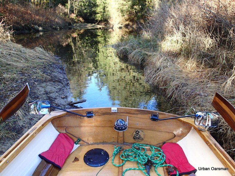
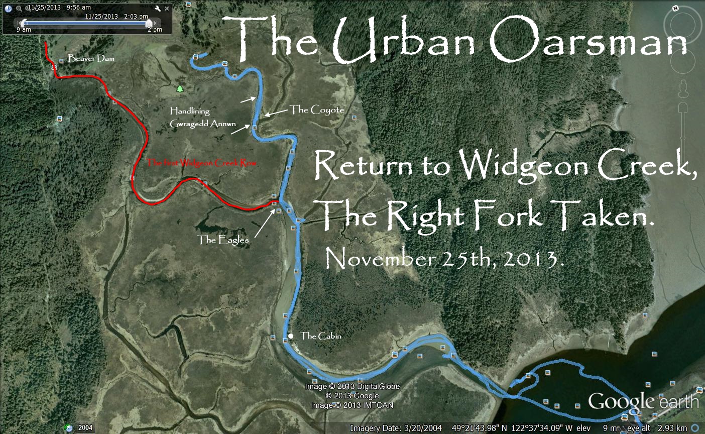
Return to Widgeon Creek, The Right Fork Taken.
Monday, November 25th, 2013. I have returned to Widgeon Creek to explore the right fork. In my previous trip here, February 16th, 2013, Oarsman Matt, Thomas and Oarswoman Julie and I explored the left fork, going to the Widgeon Creek Campground. and beyond to the head of Widgeon Creek.
Widgeon Creek, The Right Fork
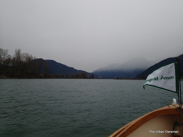
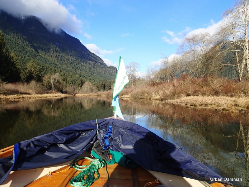
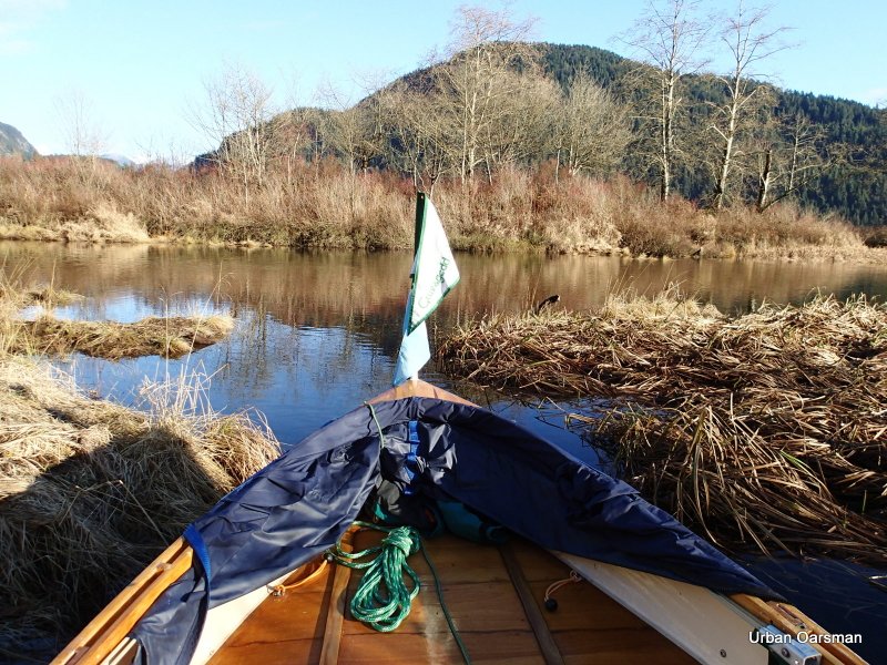
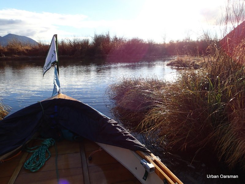
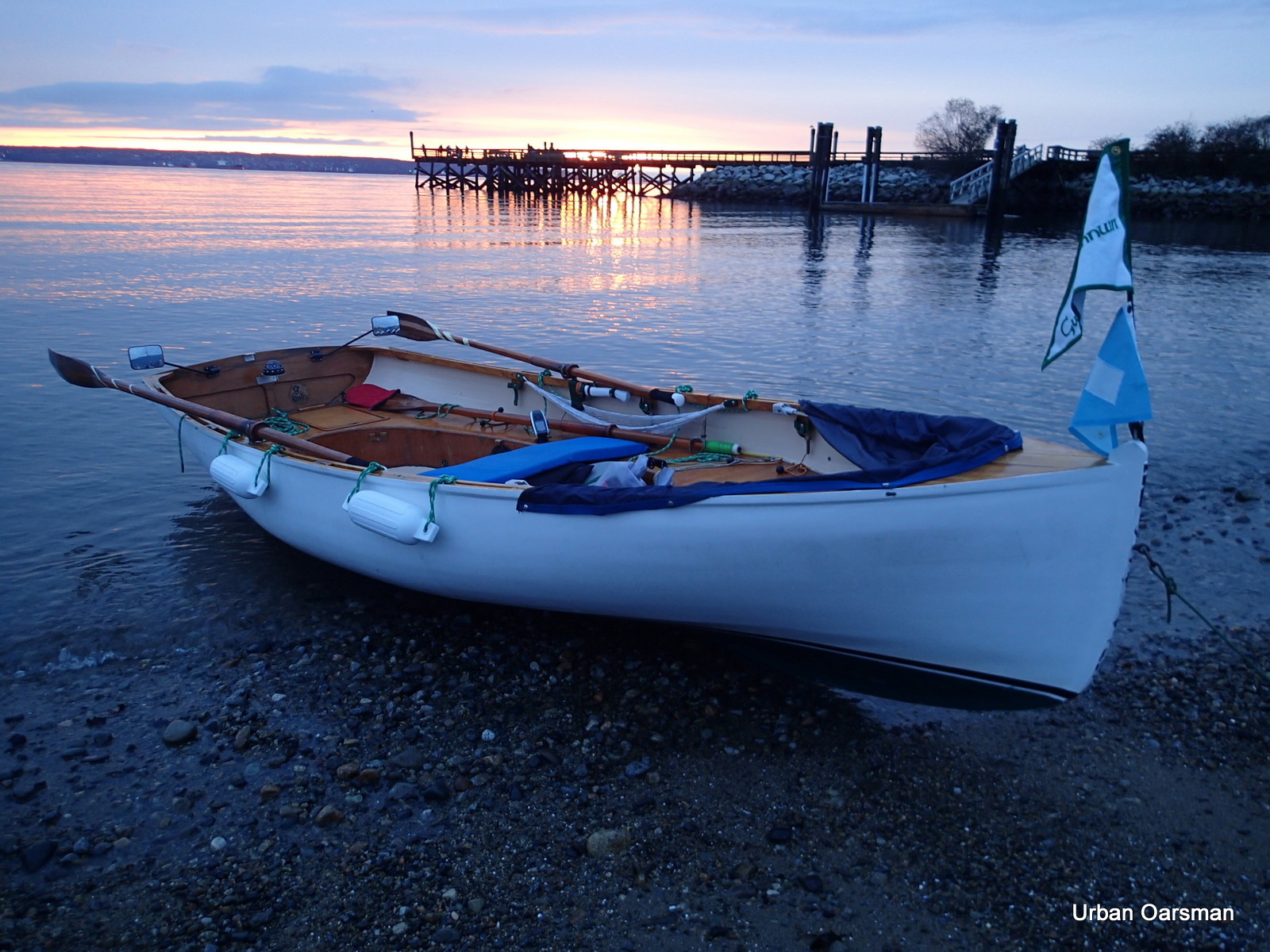
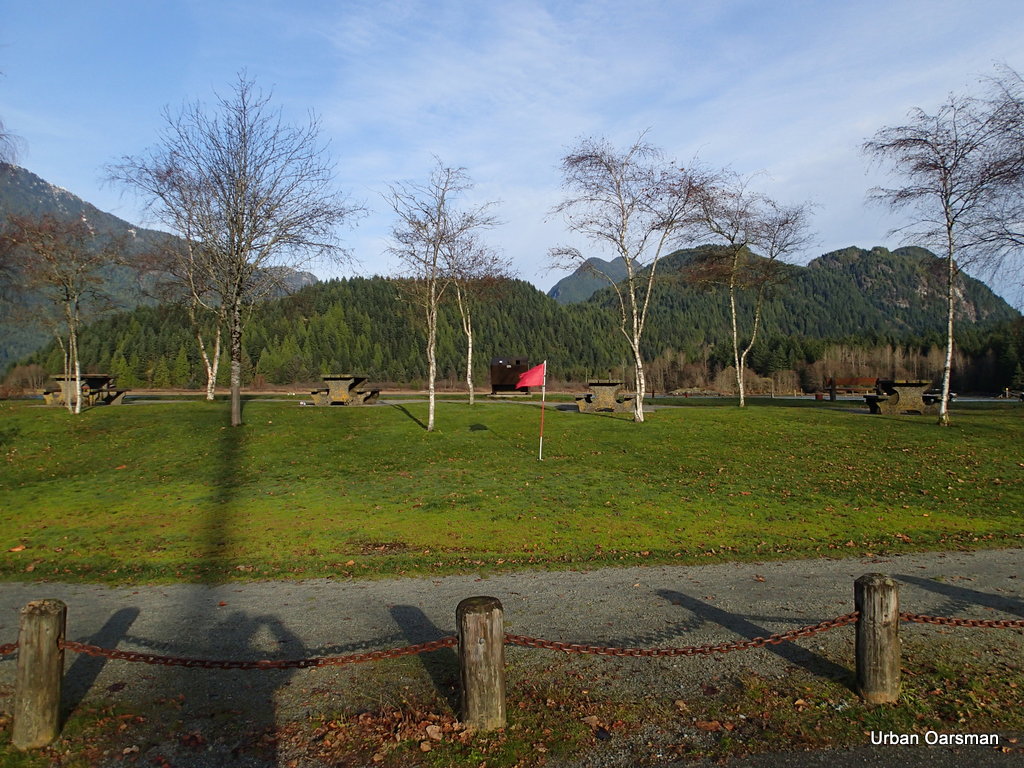
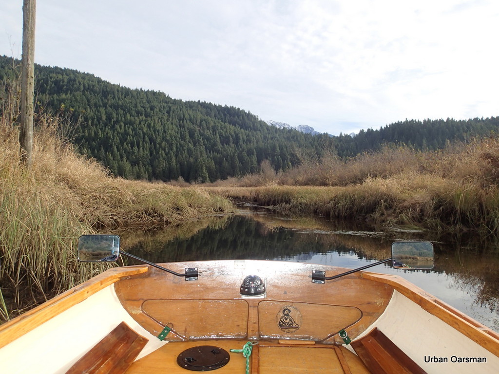
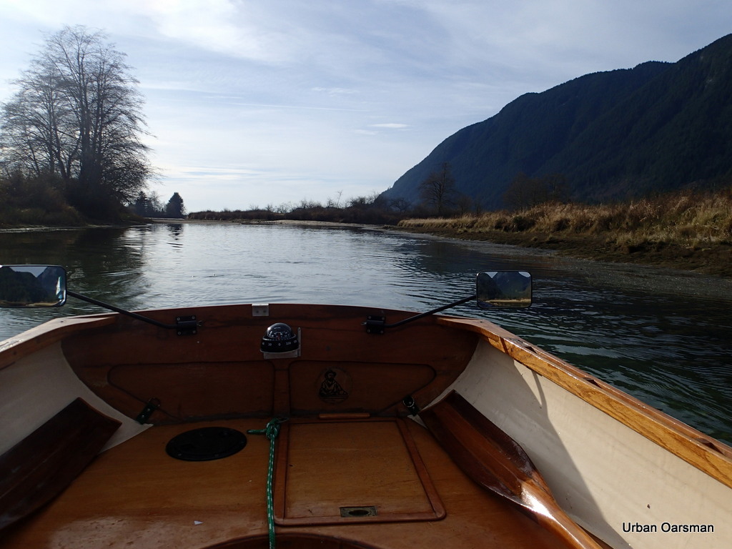
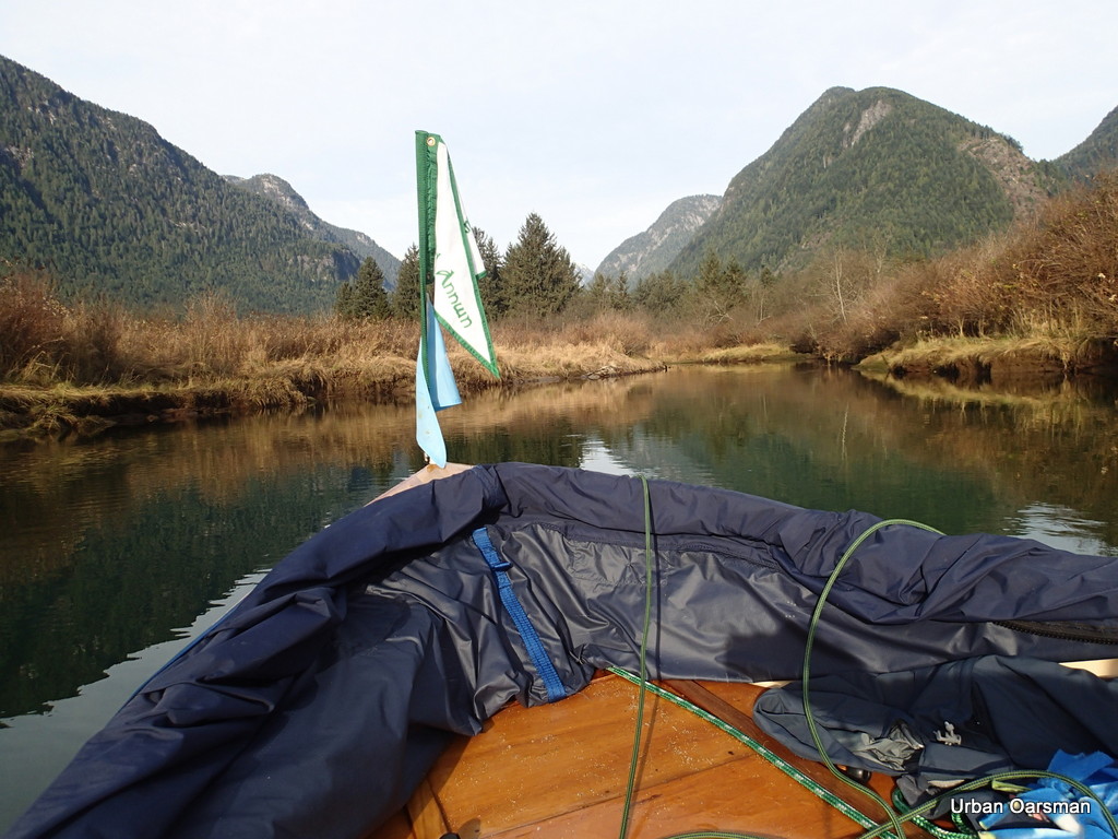
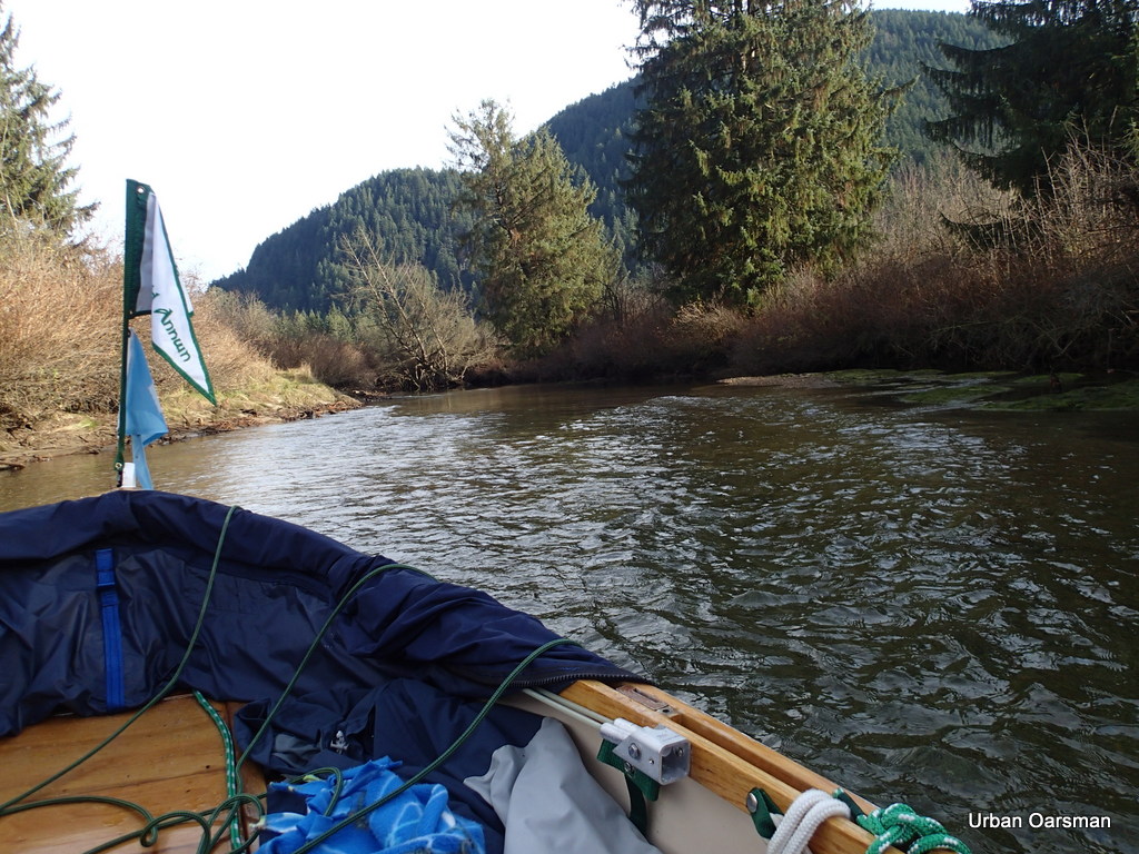
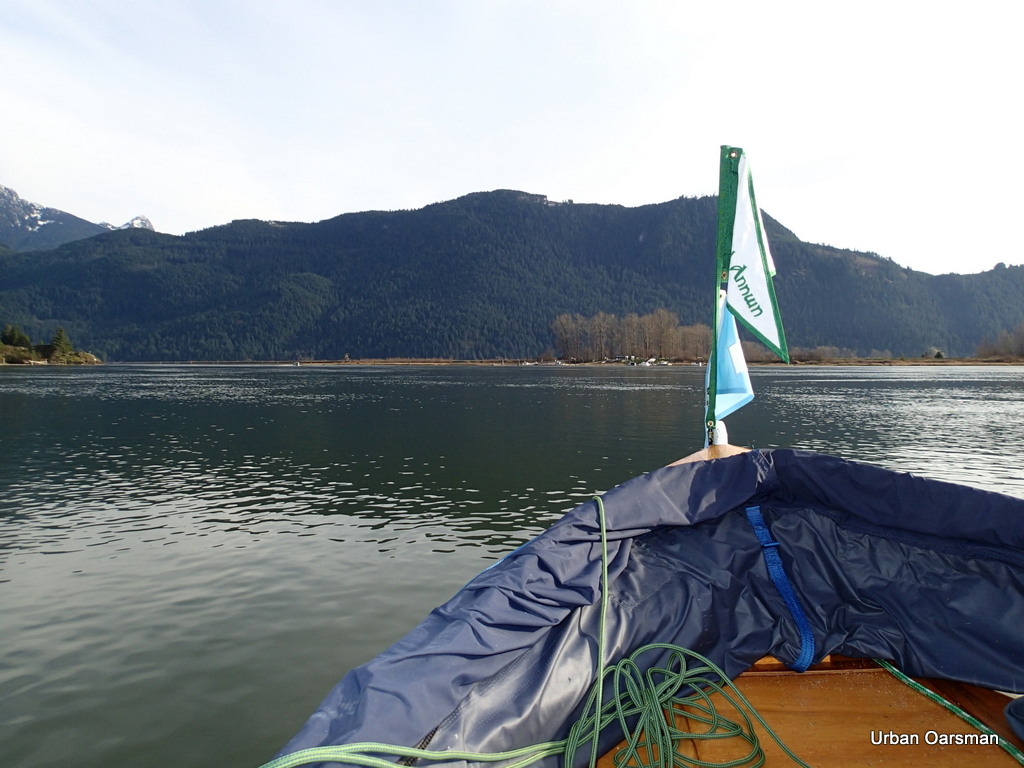
On this trip I am on my own. In this photo, the red flag shows a wind heading out of the valley, down Pitt Lake. The weather forecast is for clear, cold and calm. Even though I did not get any pictures of them, a canoe and a kayak left Grant Narrows ahead of me for Widgeon Creek.
Widgeon Creek, The Right Fork
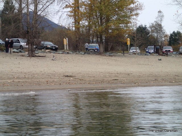
The trailer and two vehicle parking lot is not full. Only the five of us. Clear skies to the South.
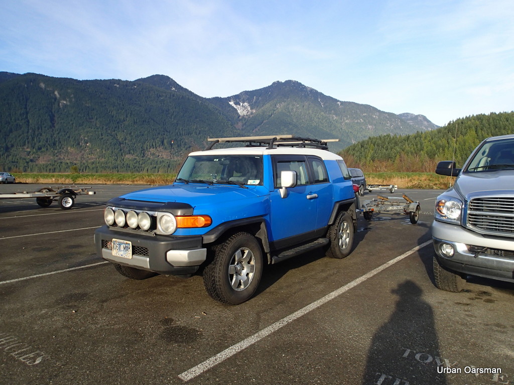
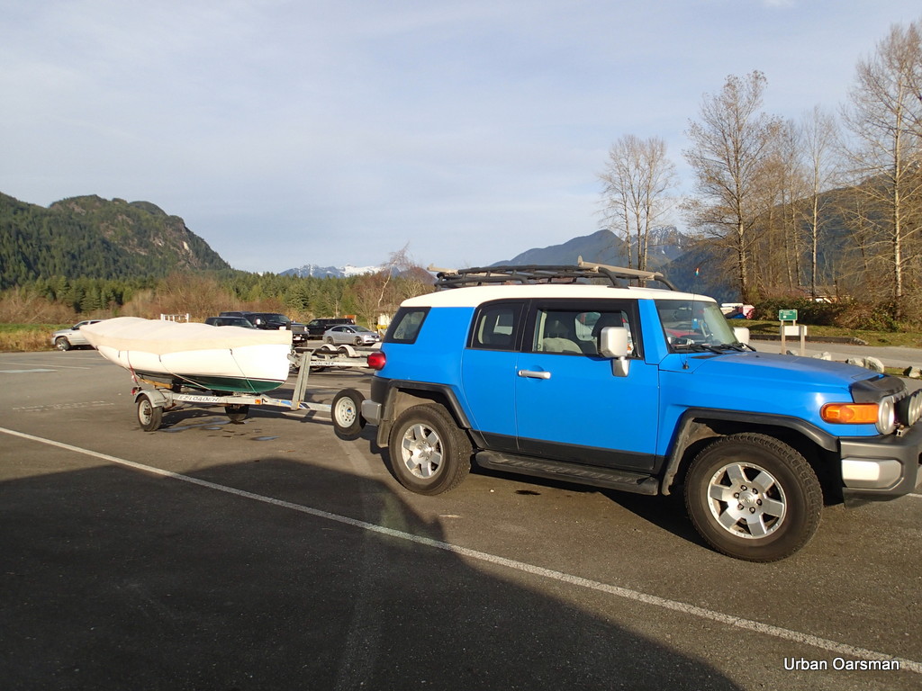
The FJ and trailer parked. The fee is $10.00. The machine was broken and I paid the attendant. The fifth vehicle and trailer are in the background.
 View from the top of the ramp. Widgeon Creek is .7km. to the West of The Grant Narrows Boat Launching Ramp.
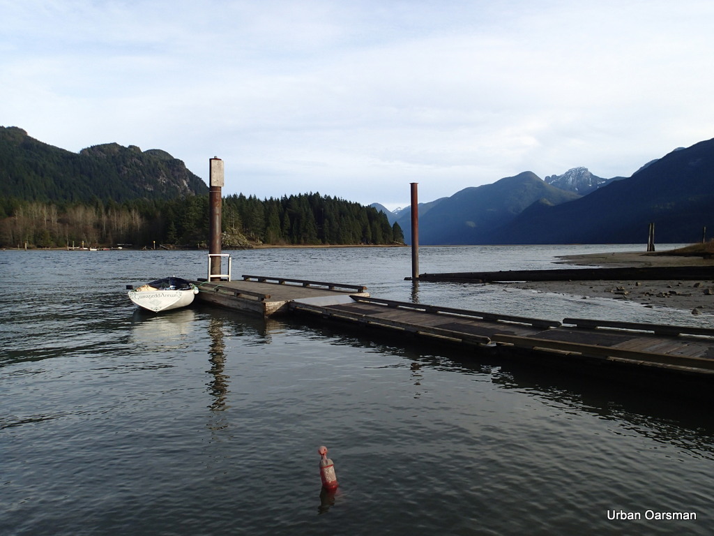 Gwragedd Annwn tied to the float. This view is looking up to Pitt Lake. The tide is high enough so that you do not see the largest actively accreting delta in the world, and Pitt Lake is the second largest fresh water tidal lake in the world. If the tide were lower, the delta would extend West across the picture, from the rocky point across the bottom of the lake to the right of the picture.
 Leaving the Grant Narrows Boat Launch. The current speed is approximately one and one-half knots up river (Rising Tide).
The Tide notes for Widgeon Creek:
Tide was rising at 10:00am when I arrived.
Tide was still rising at 3:00pm when I left.
The rise from 11:00 to 1:00pm was approximately one foot.
High tide at Atkinson was at 11:08am, 4.5 metre, 14.8 feet
High tide at New Westminster was at 12:15pm., 2.9 metre, 9.5 feet.
A good time to go would be four hours after high tide at Point Atkinson or three hours after High Tide at New Westminster, give or take a bit. The levels of flow of both the Fraser and the Pitt effect the tide times.
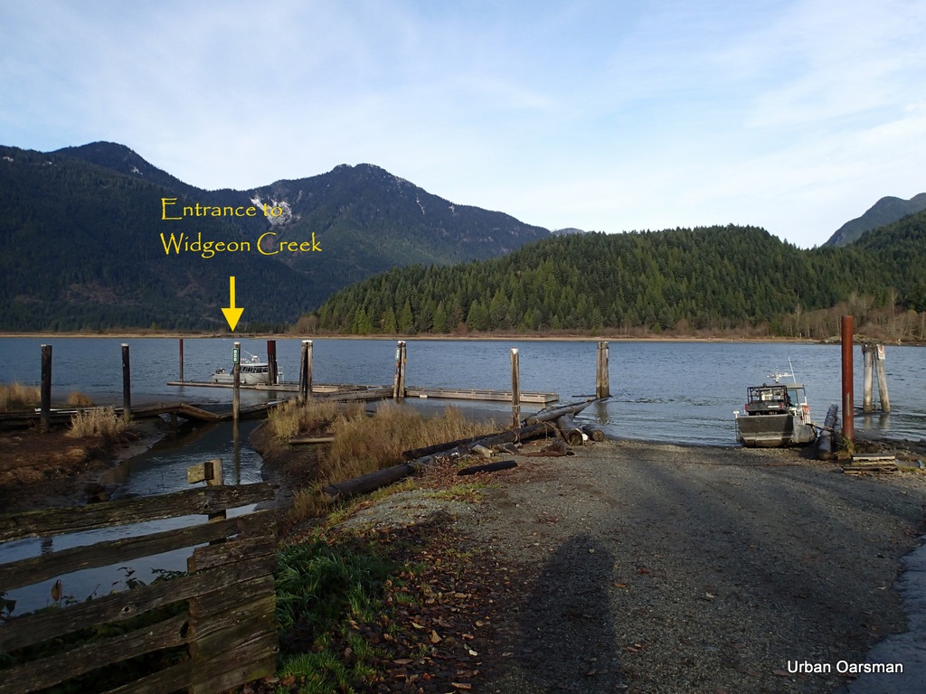
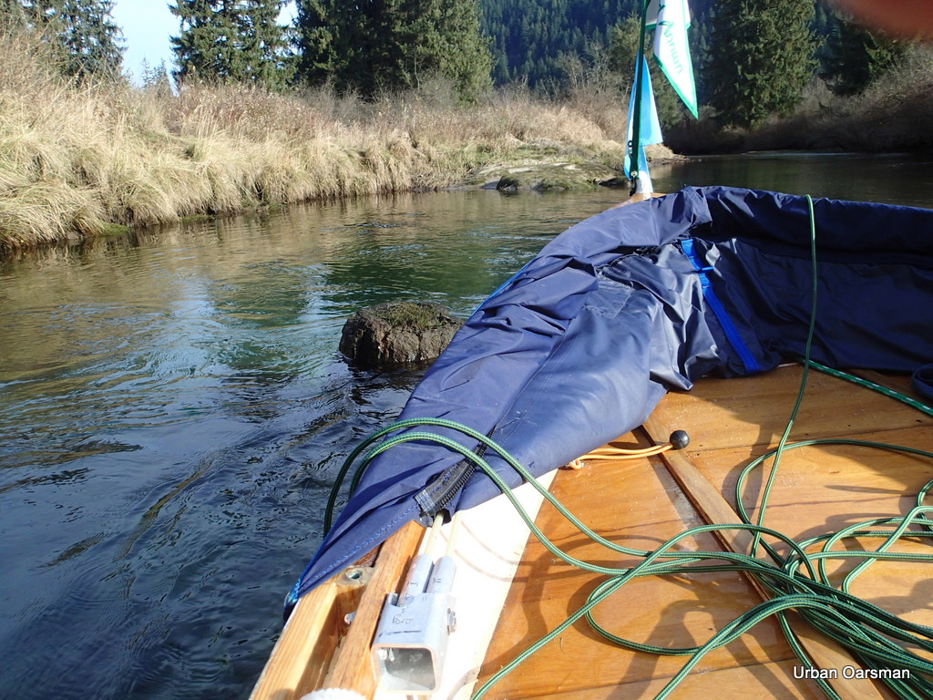
 The entrance lies ahead.
 Lesson learnt the hard way. On the North side of the channel, there are shoals. The channel must be entered from the East from out in the river. Rowing along the shore, you only hit shallows.
Widgeon Creek, The Right Fork
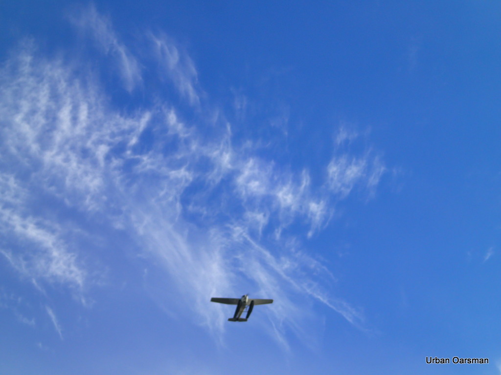
A Seaplane flies overhead going up river.
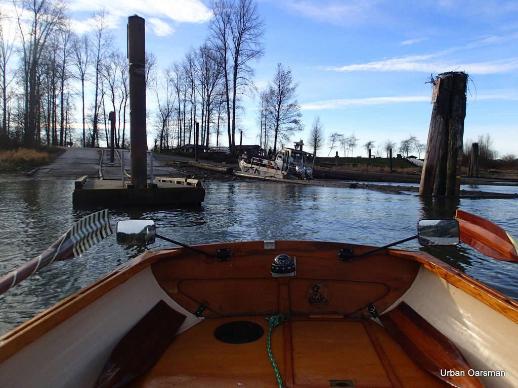
 Entering Widgeon Slough. The shoals are to the left, behind where the tree stump sticks out of the water. Grant Narrows Boat Launch is directly astern.
 Looking up the channel. The first sign is to the right. “No Power Driven Vessels”
 Continuing up the channel. It begins to curve to the North. The water is deep in the channel.
 At high tide, the channel is very broad. All of the reeds to the South will be covered with two or more feet of water. At this tide, I have to stay in the main channel.
 View East. I have to be careful rowing and check my forward course often.
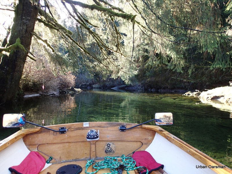
 The course ahead. The water is exceptionally clear.
Looking South at Widgeon Slough. This slough separates Siwash Island from the mainland. The slough is only navigable for Gwragedd Annwn at high high tide.
 The “No Trespassing” Cabin on the East shore.
 The water depth marker by the cabin. When we were here last February, the water was just below the five. There is two feet less water this time. How far will I be able to get with the water so low?
 Leaving the cabin behind. Looks like she needs a little work. The white floating stuff is foam.
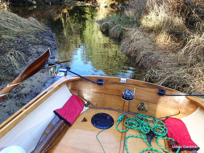
 This is a side channel to the East. There is not enough water to explore it. Gwragedd Annwn grounds out where the channel begins.
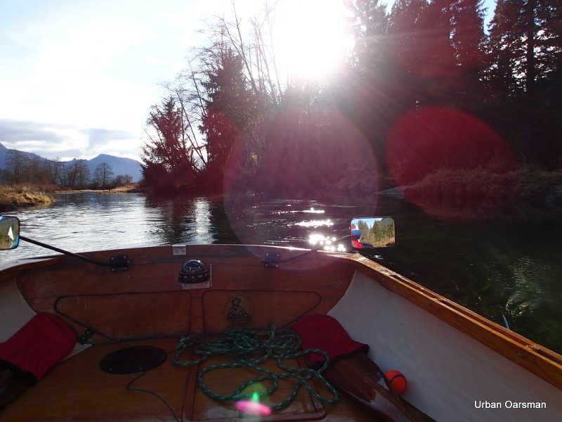
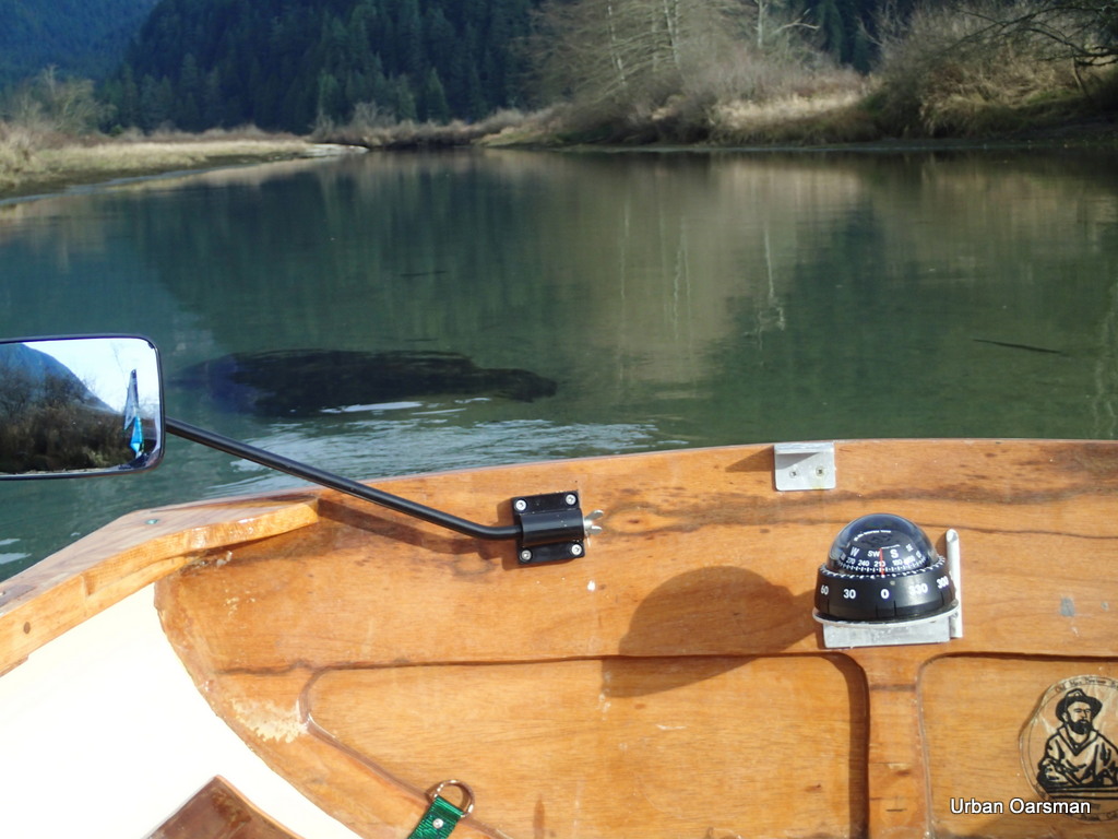
 If I am really trying to see where I am rowing, I row Gwragedd Annwn backwards. I exercise different muscles, can maintain two knots and see where I am going. Here I am trying to find the deepest channel upstream.
 Where the right and left forks meet. The sign points to the left fork and to the Widgeon Creek Campground. I choose the right fork.
 The right fork heads North East. I really have to pay attention to staying in the channel. This fork seems to have less than half the flow. Last February the Left channel seemed to be the main one and now, in November, the Left channel still seems to be the main one.
The right fork widens. The oars strike the bottom more often. Less than two feet of water and often less than eighteen inches. The main channel is often less than twenty feet wide. When it narrows more, I am rowing the oars on the banks rather than in the water.
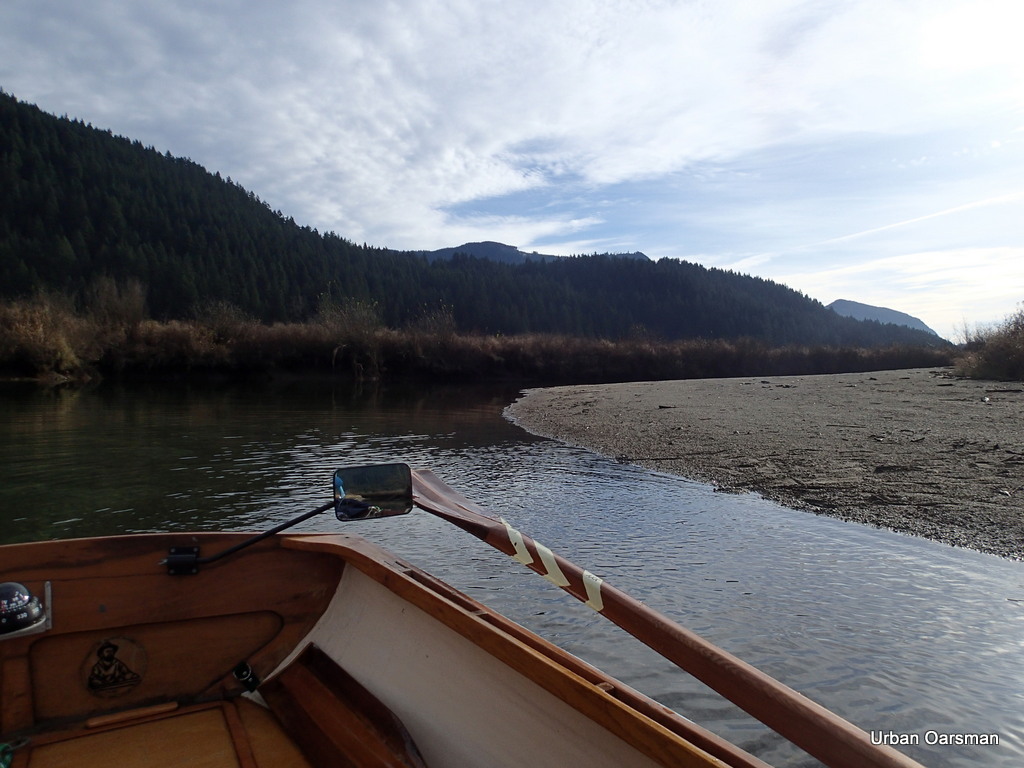 Shallow on the inside curves, deeper on the outside of the bends.
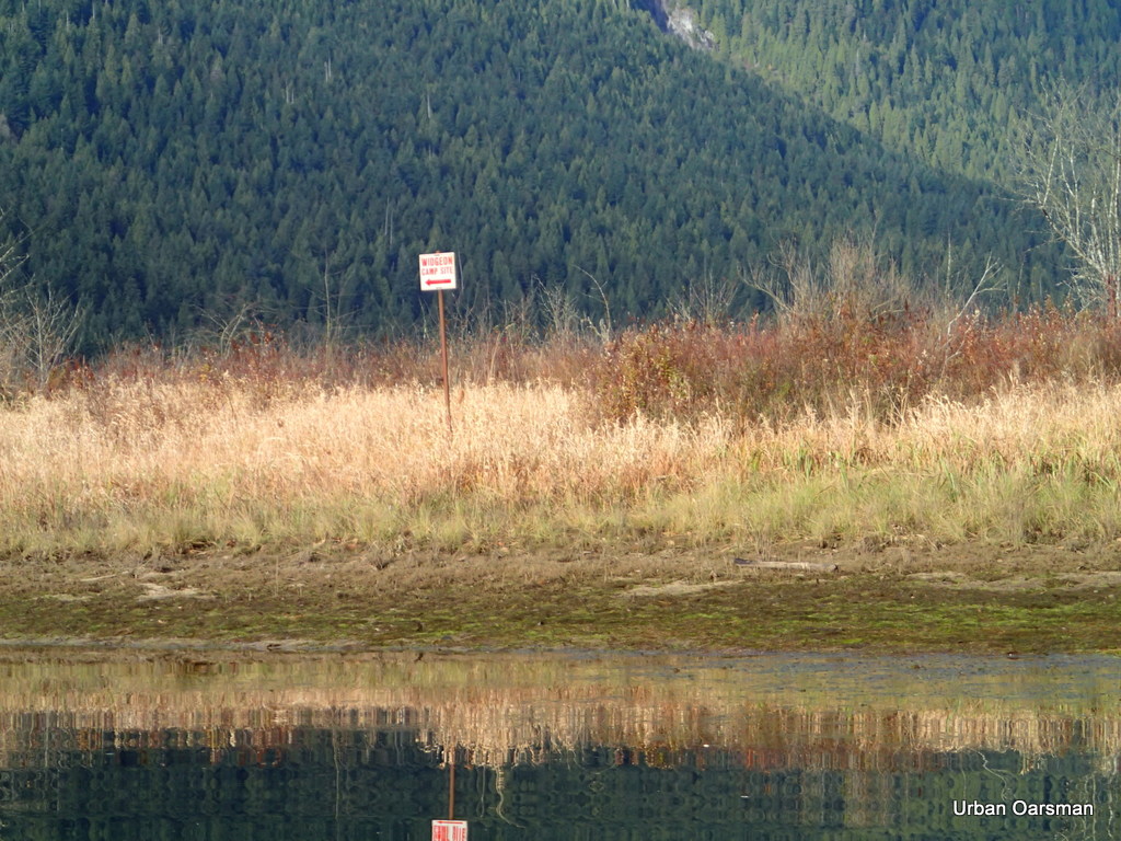
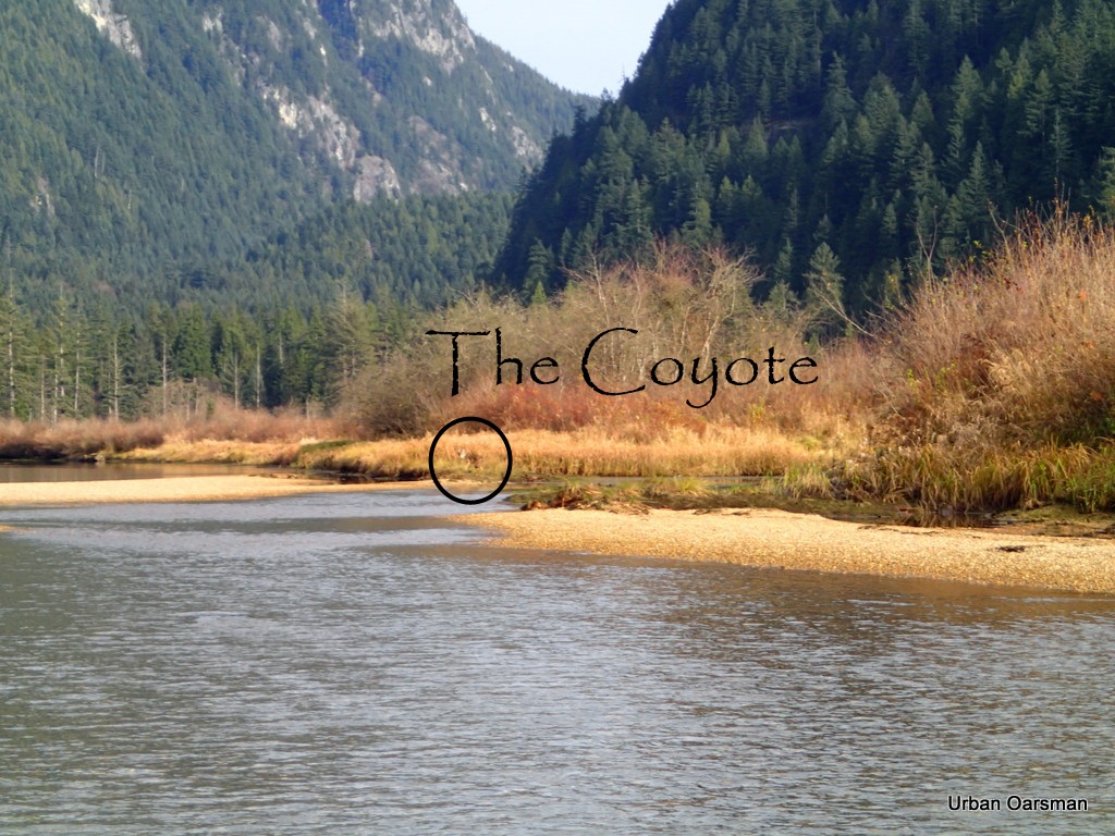 There was a coyote eating salmon remains on the shore where this side stream entered. I could not get any closer to get a better picture. The coyote left until I had gone further upstream.
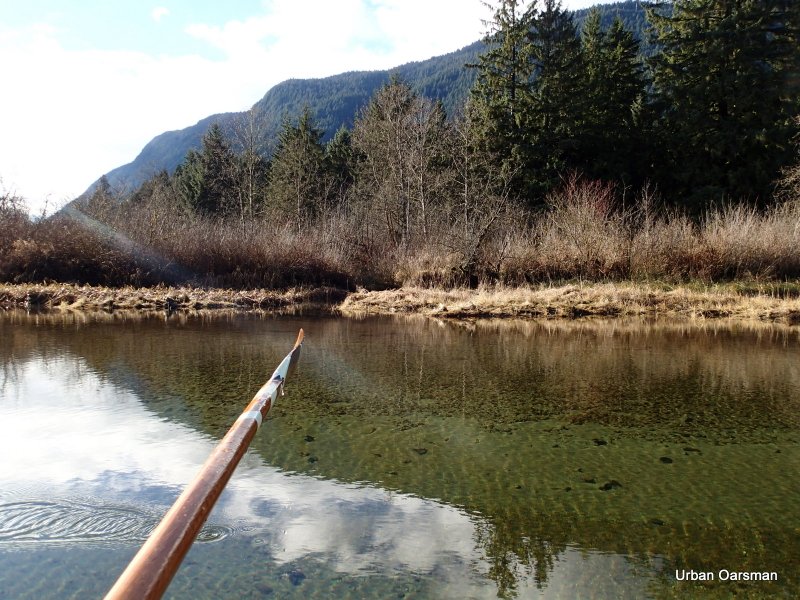
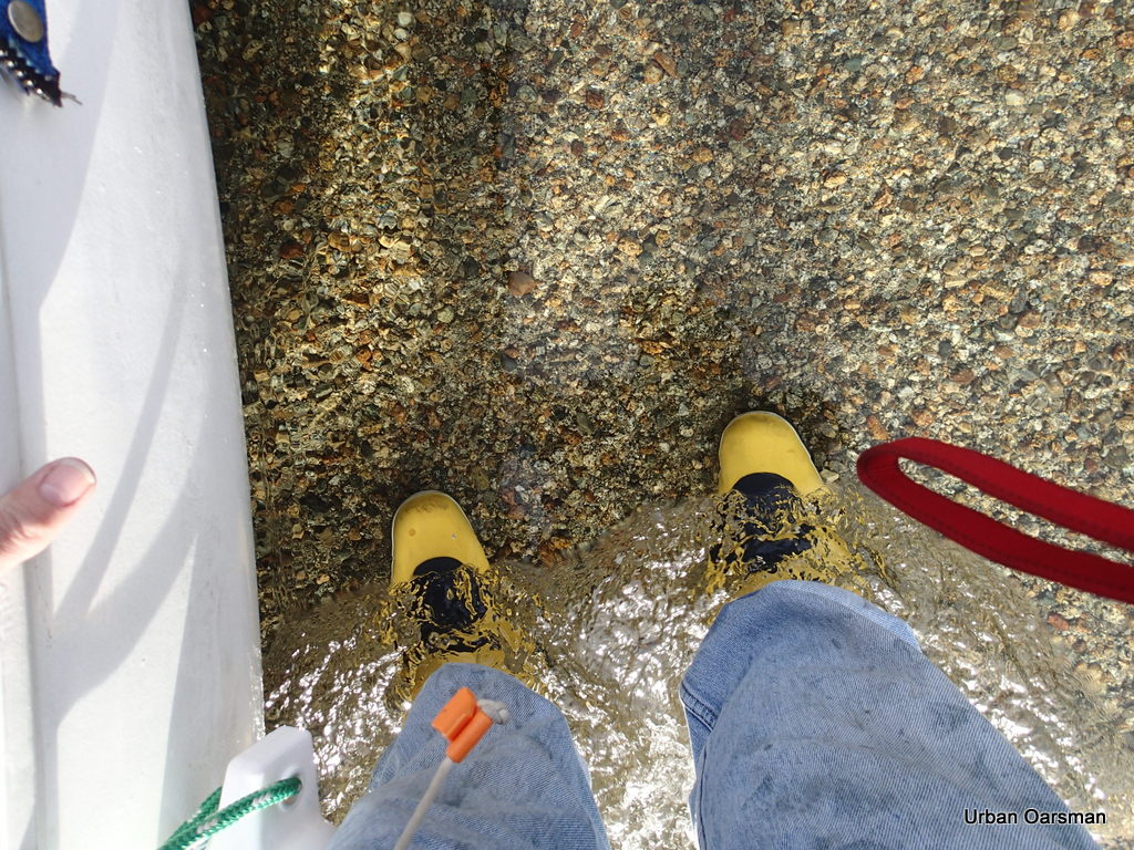 Lining or walking Gwragedd Annwn up stream. The water here is too shallow to row in but shallow enough to walk in. I am pulling Gwragedd Annwn up the creek. Look how clear the water is.
 The shallow stretch where I lined/walked her up.
 Gwragedd Annwn coming upstream. The coyote returned to its meal.
 Walking upstream.
Gwragedd Annwn needs ten (10) inches of water to float in. I pulled her ashore and measured the depth of water where her keel began to leave a rut in the gravel.
 Gwragedd Annwn ashore in the shallows. Her keel has left a rut in the gravel.
 Is there deeper water ahead?
 Deeper water ahead. How far can I go, lining Gwragedd Annwn through the shallows and rowing her through the depths? The tide is rising, perhaps if I wait, the water will rise.
 Still deep enough to row upstream.
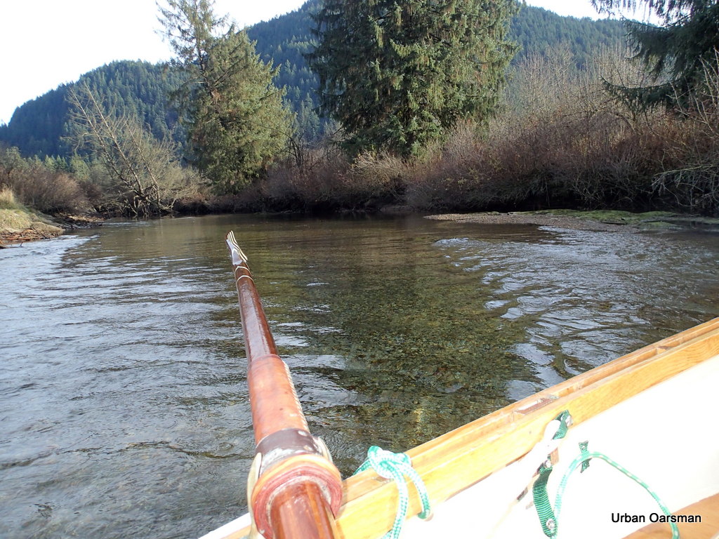 The end of the row. The water is too deep to line Gwragedd Annwn up stream and too fast flowing for me to row any farther upstream. Looking around the bend, the water is flowing fast there too.
 The stream is flowing at nearly five (5) knots, faster than I can row in such shallow water. It is less than eighteen (18) inches deep. I cannot get a decent stroke. I need a higher tide or taller boots.
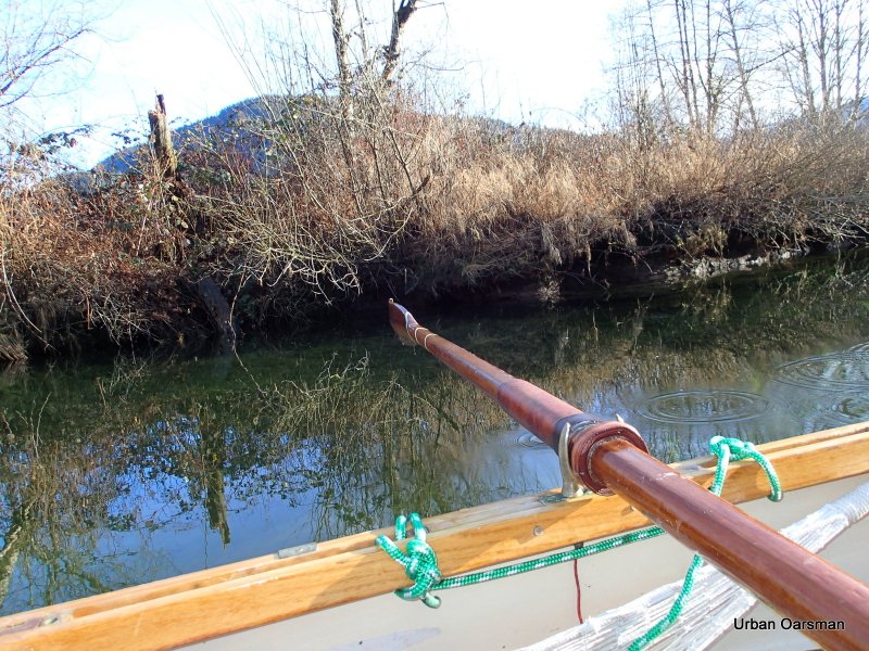
 My friend the stump. I plowed into it heading upstream, concentrating more on boat speed than boat course. Fortunately I hit bow-on and Gwragedd Annwn just rode up the stump a little. No Damage to Gwragedd Annwn or to the Stump.
The speed of the current has slowed to one and one-half knots from nearly five knots.
 Heading back. It is a little after 1:30pm and the sun sets not much after 4:00pm this time of year.
I will not have time to explore the left fork and still make if back before dark.
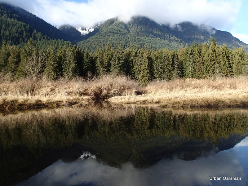
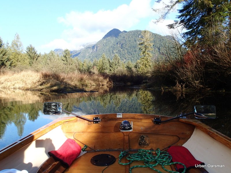
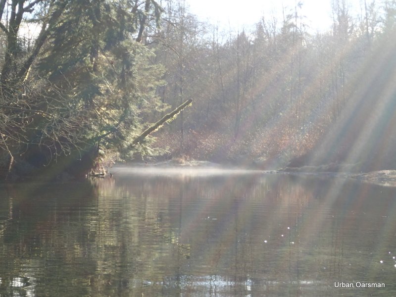
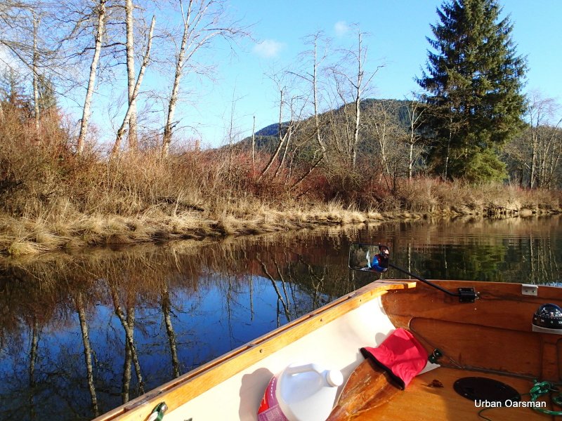
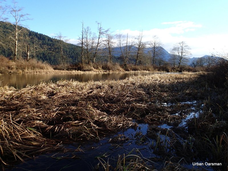
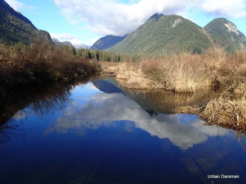
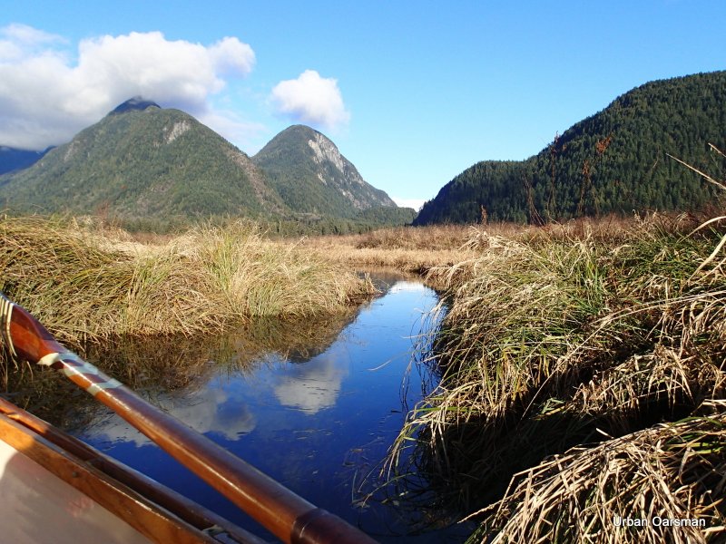
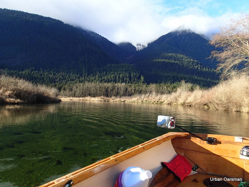
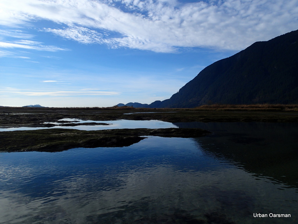
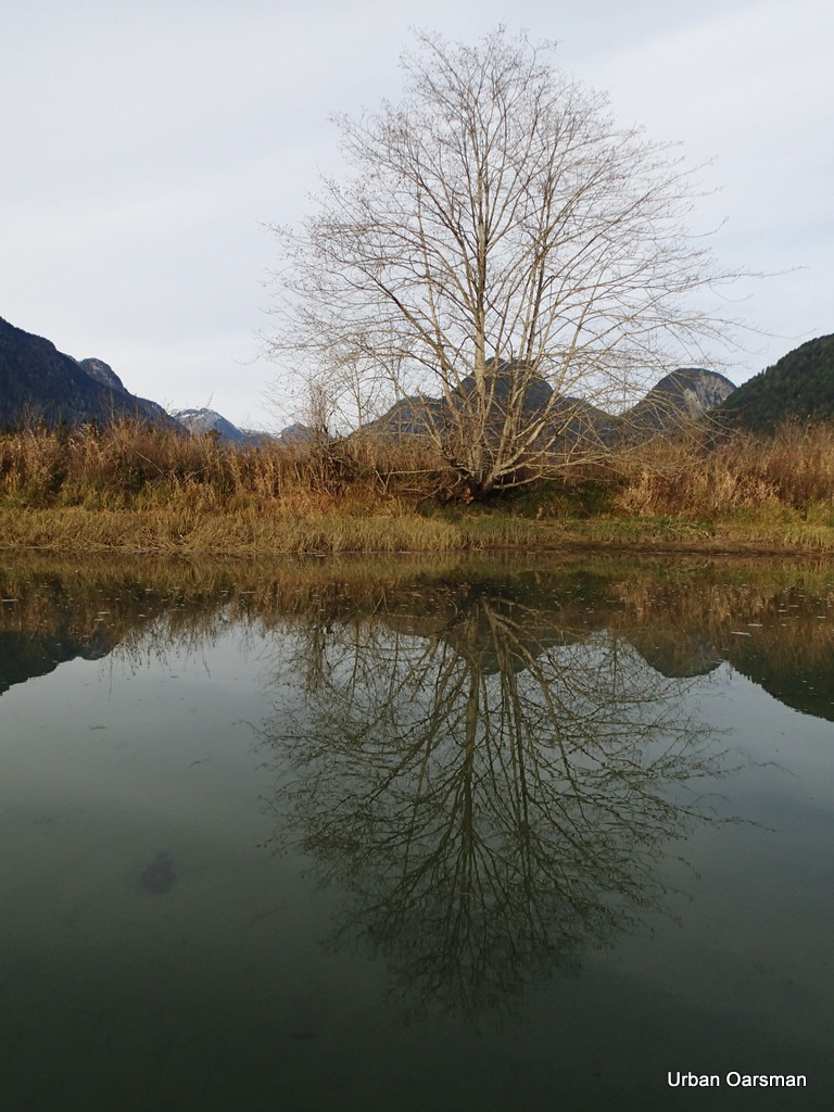
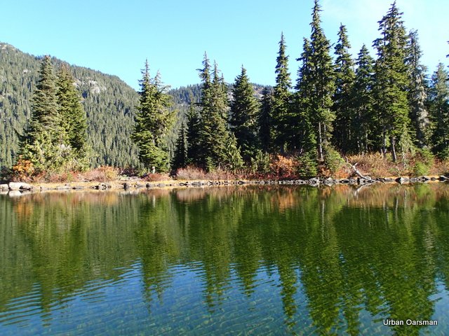
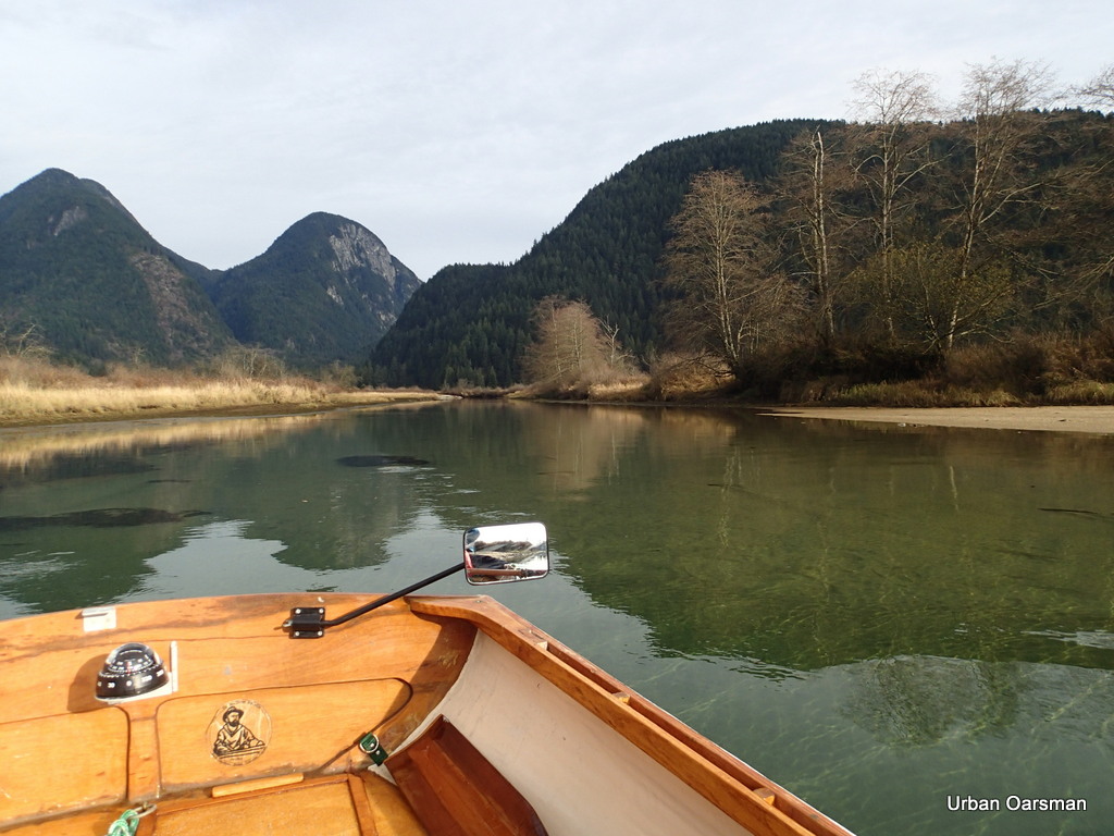
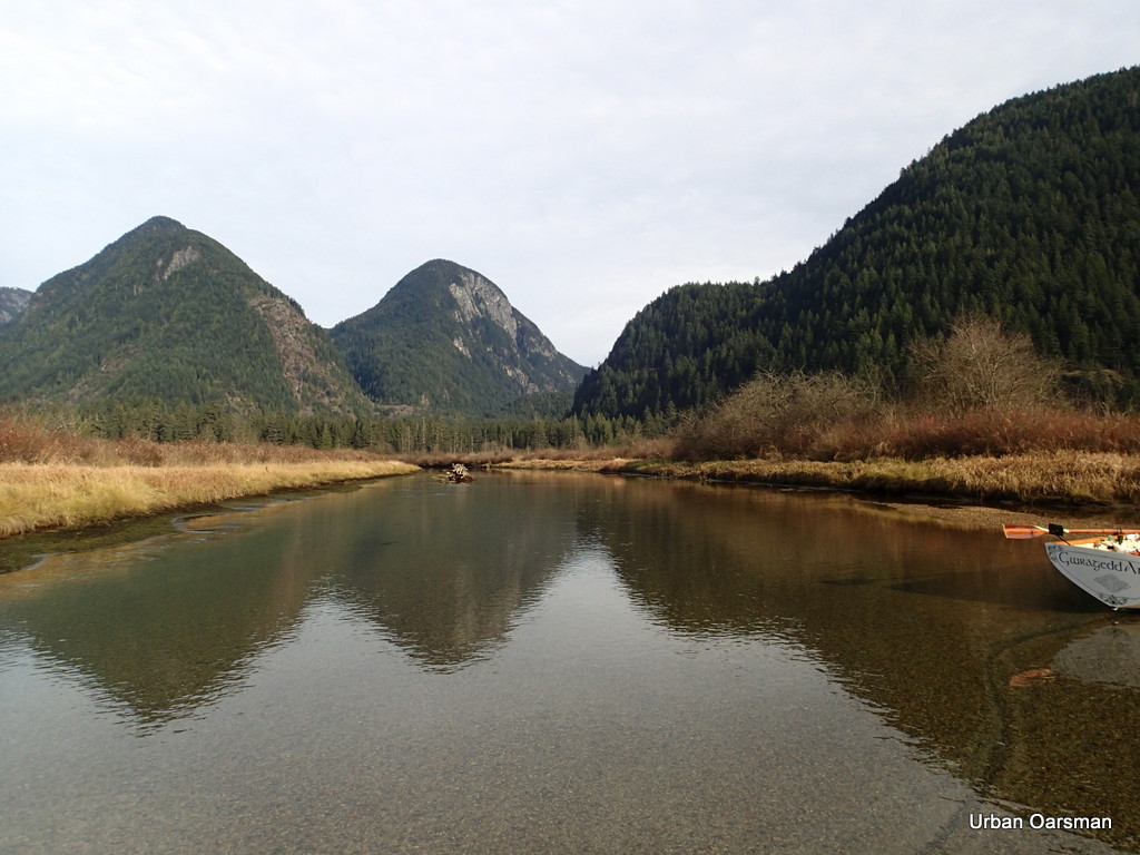
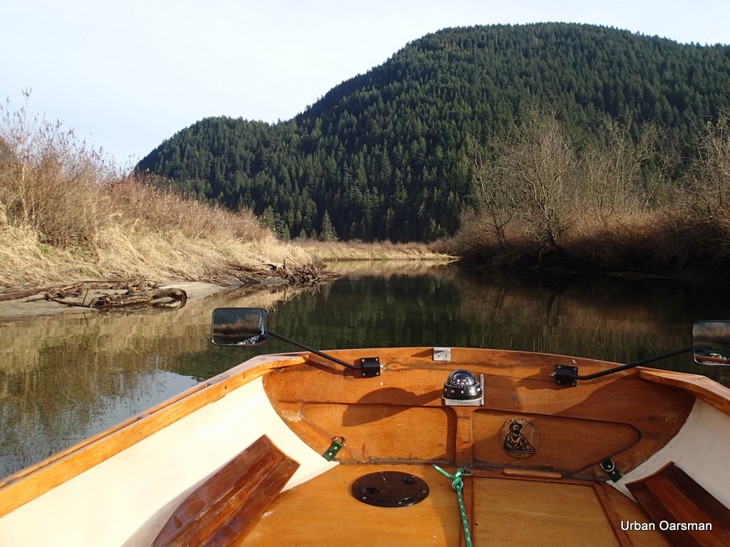
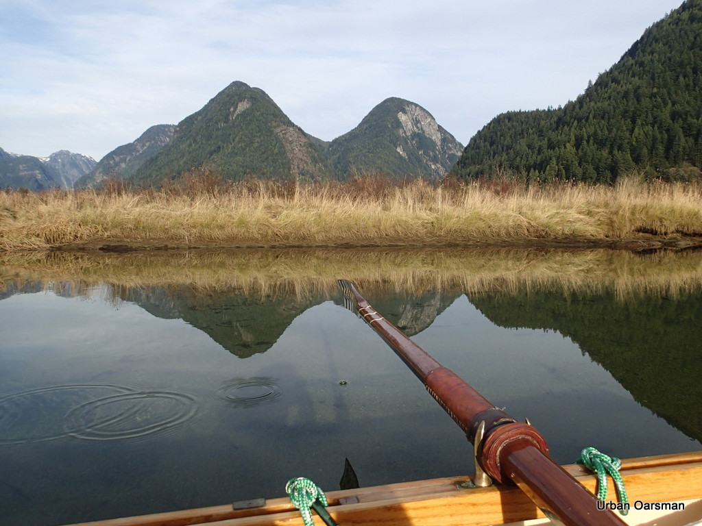
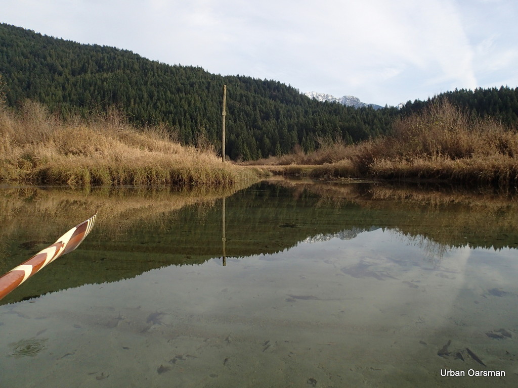
 The water is so still that I am amazed with the reflections.
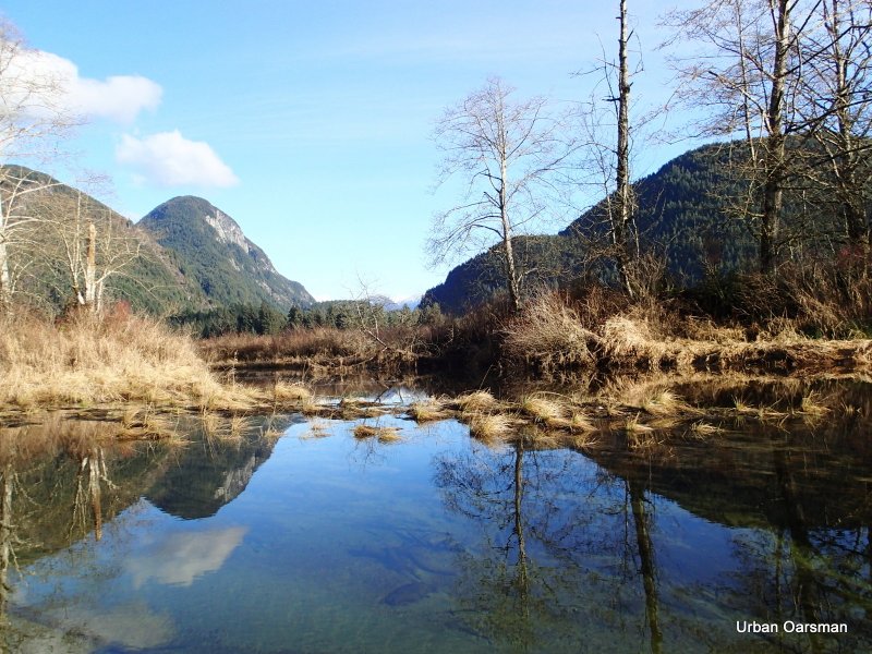
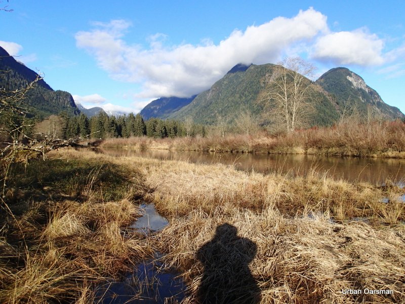
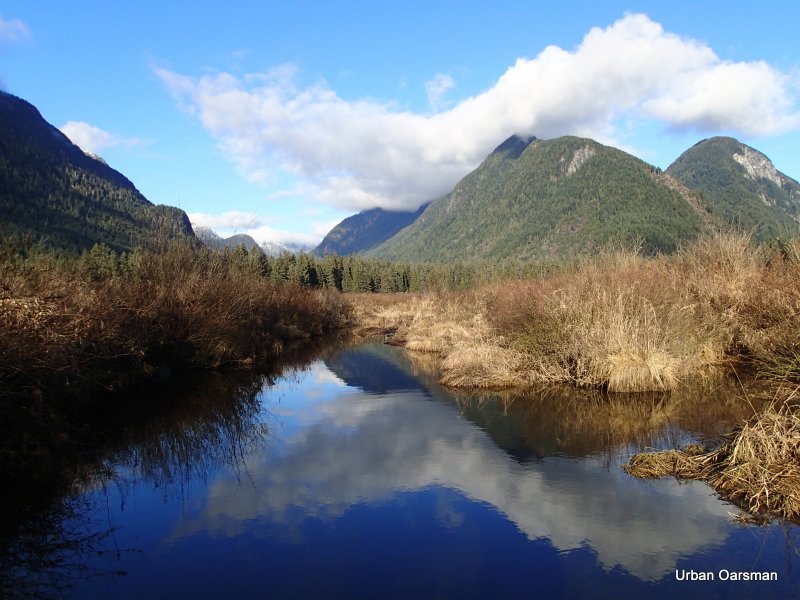
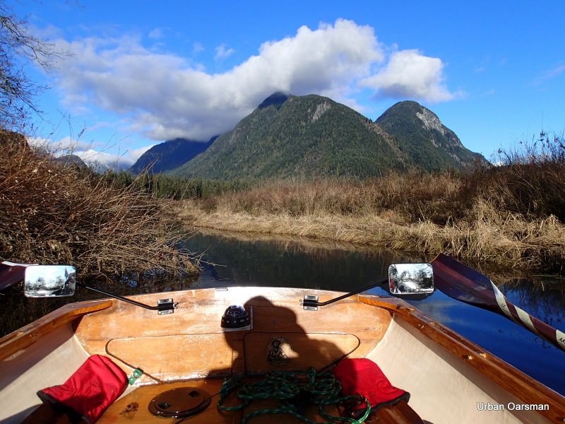
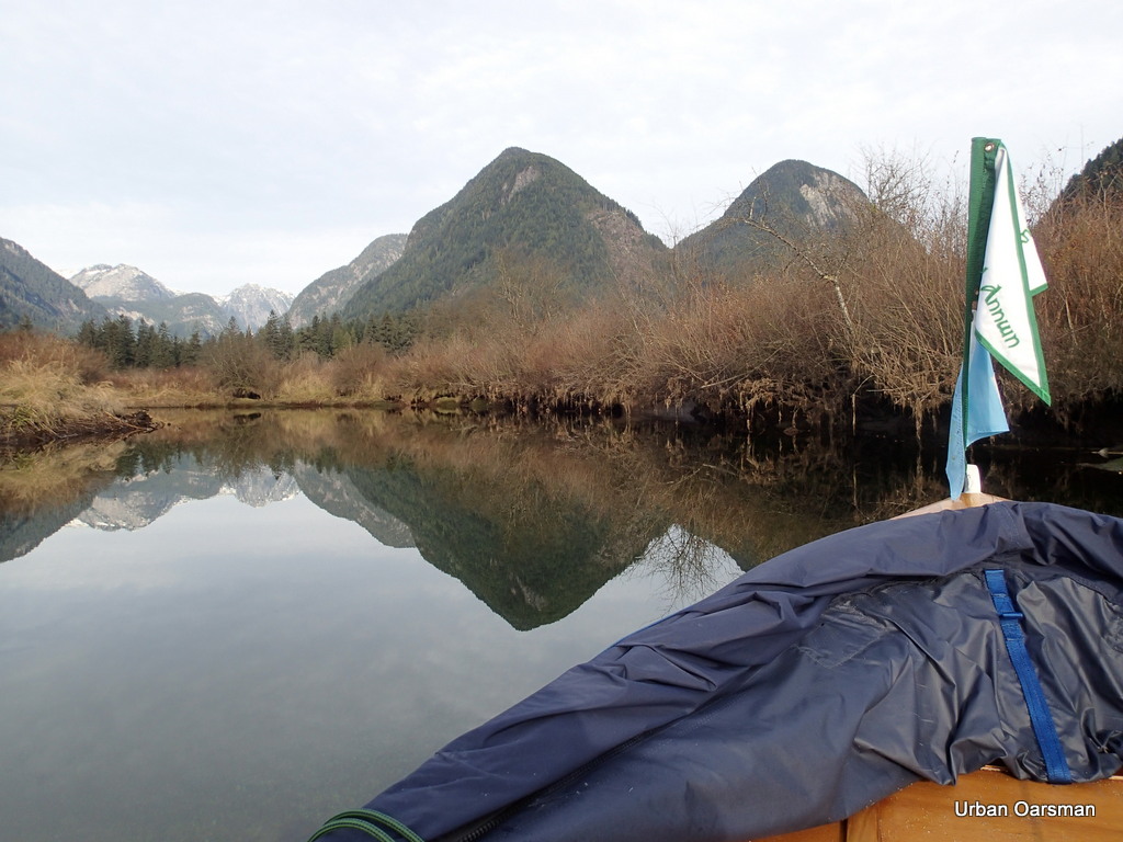
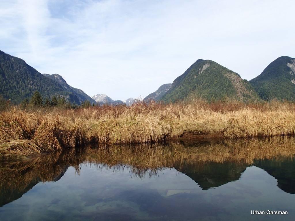
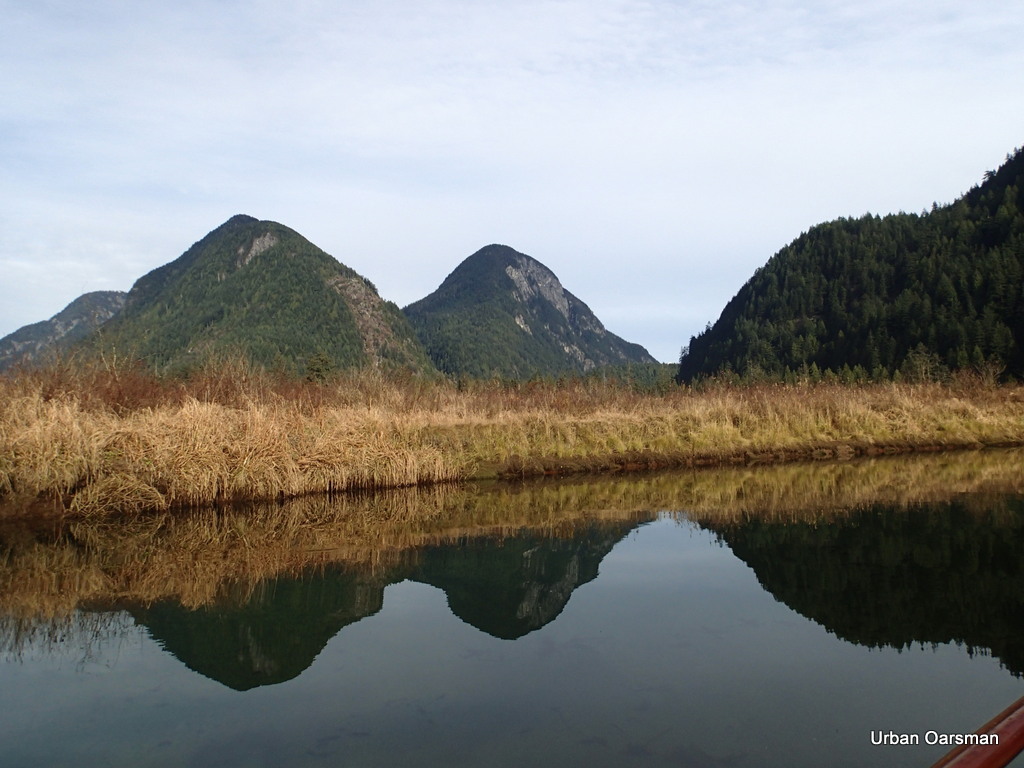 Another reflection picture. I do not believe that these two mountains have names.
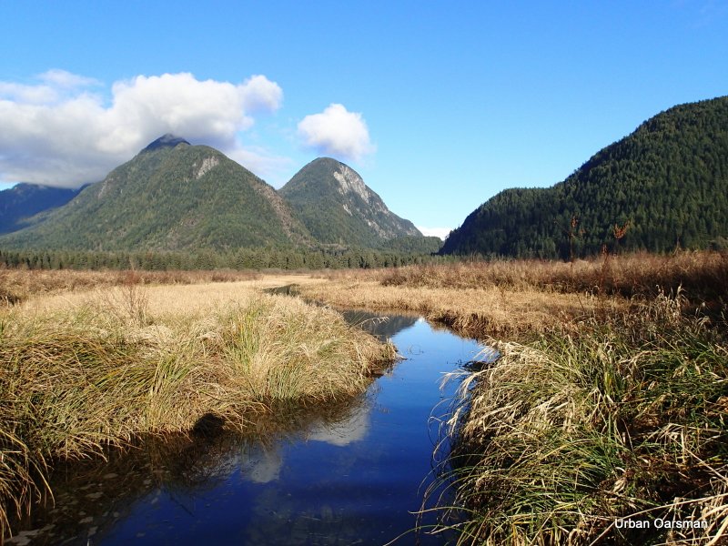
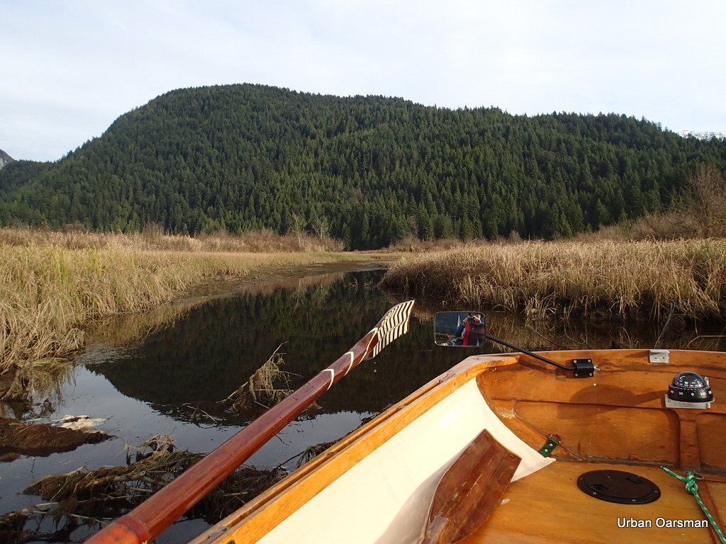
 Looking North up the Widgeon Creek Valley.
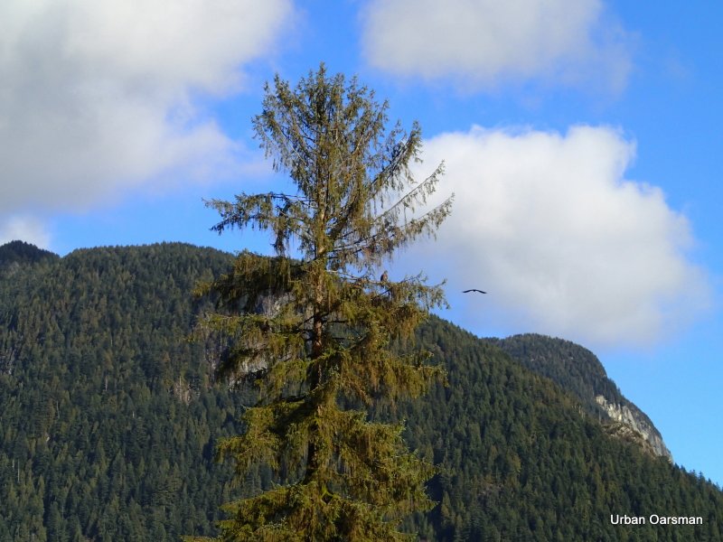
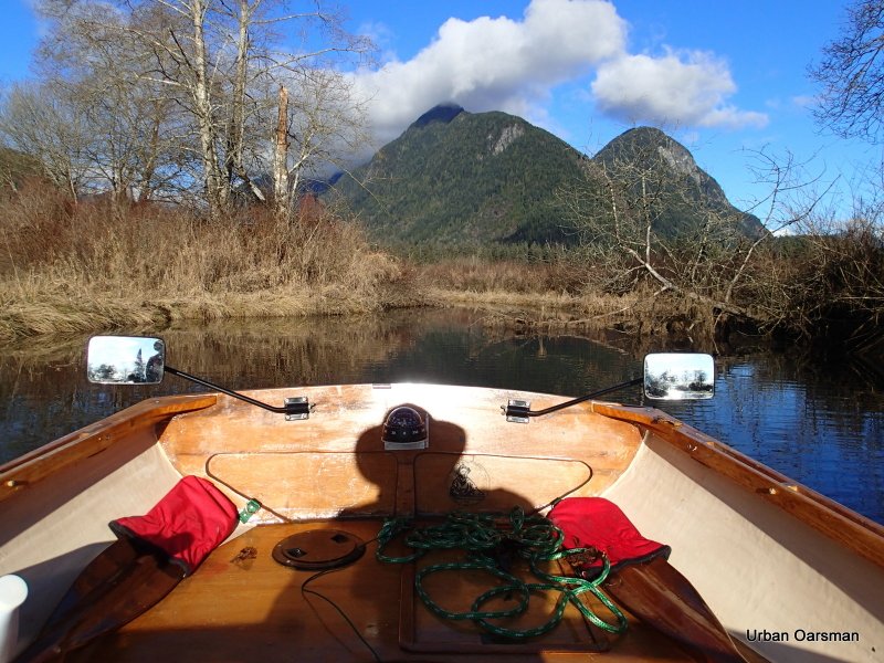
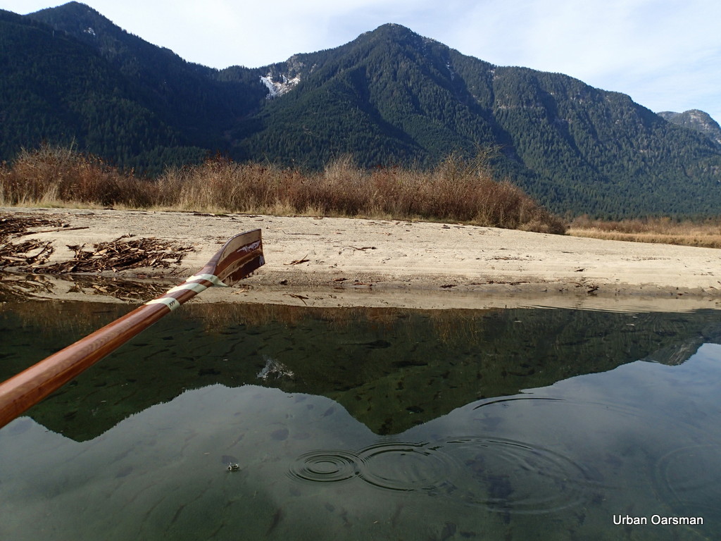 I think that this mountain is Widgeon Peak.
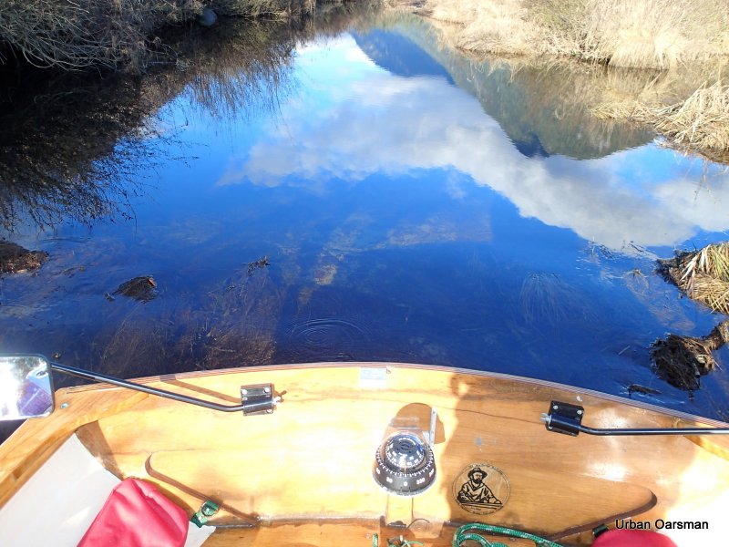
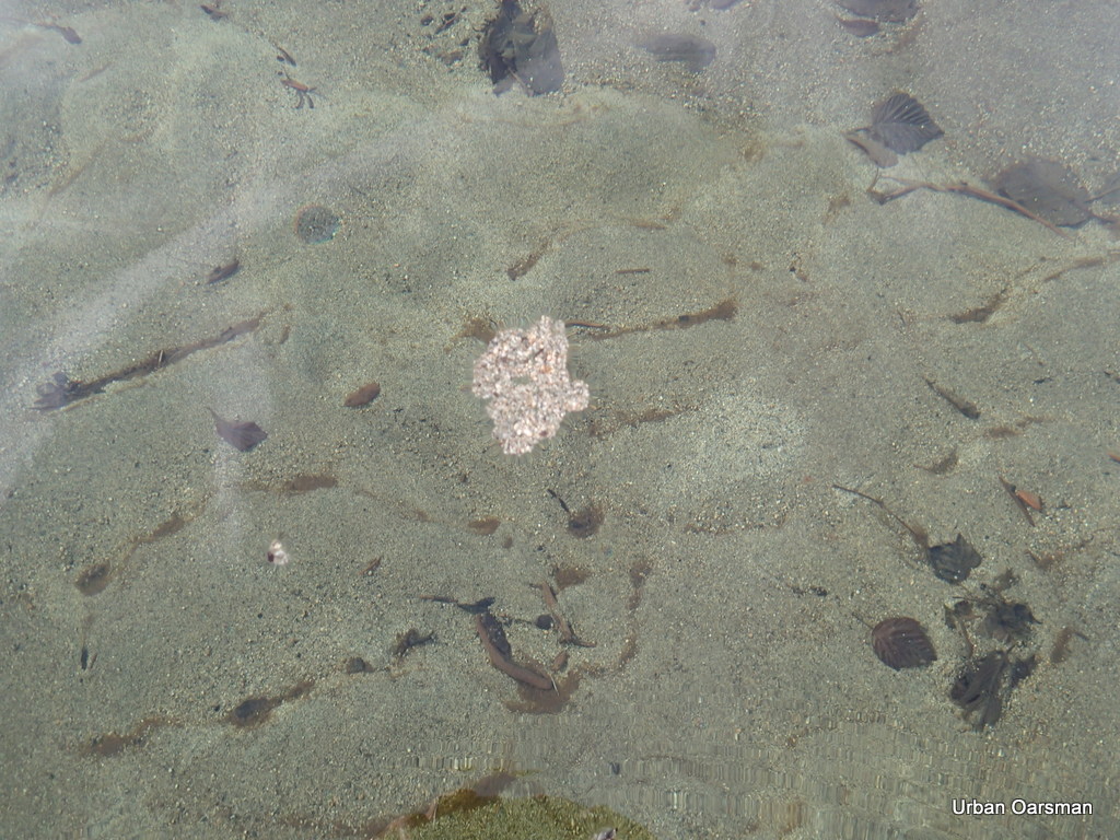 As the tide rises, small islands of sand grains can float away is conditions are calm.
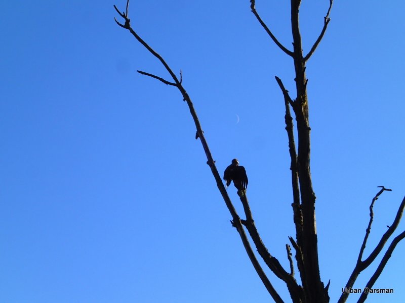
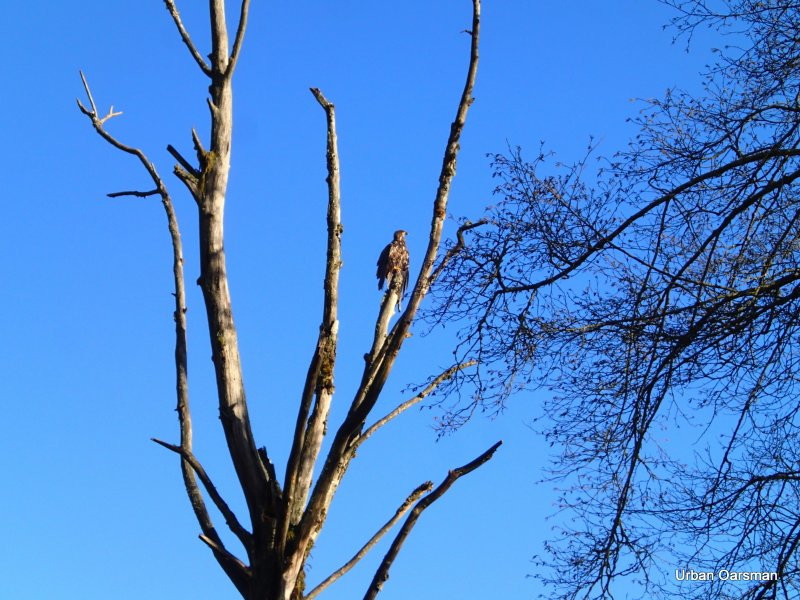
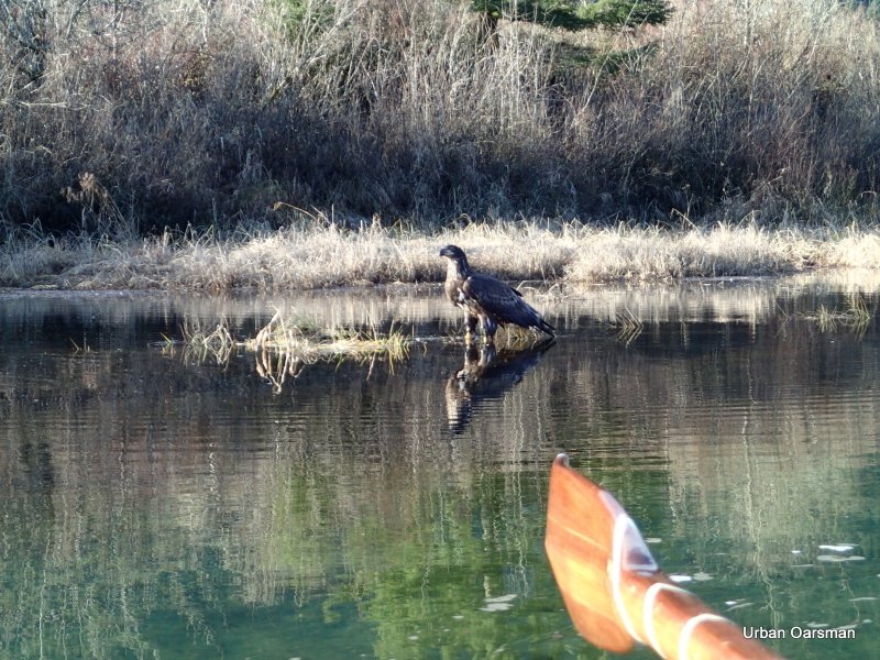
 Two Eagles, a juvenile (dark head) and an adult (white head and tail) sit in a tree at the fork.
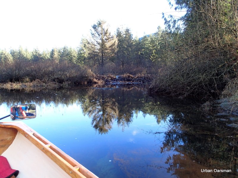
 The first side channel I rowed past has a foot and a half (18 inches) more water. I row up to have a look.
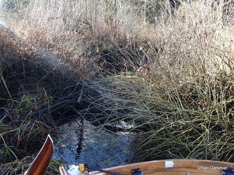
 The way is blocked by a fallen tree. One of the problems I have is that with the spread of her oars, Gwragedd Annwn needs a channel almost twenty feet wide for me to row her in. I am contemplating putting a sculling notch into her transom for these channels too narrow to row in.
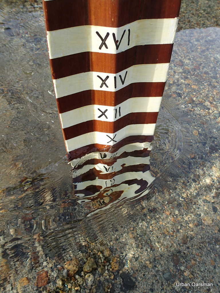
The depth marker shows almost a foot and a half more water than when I passed by going upstream.
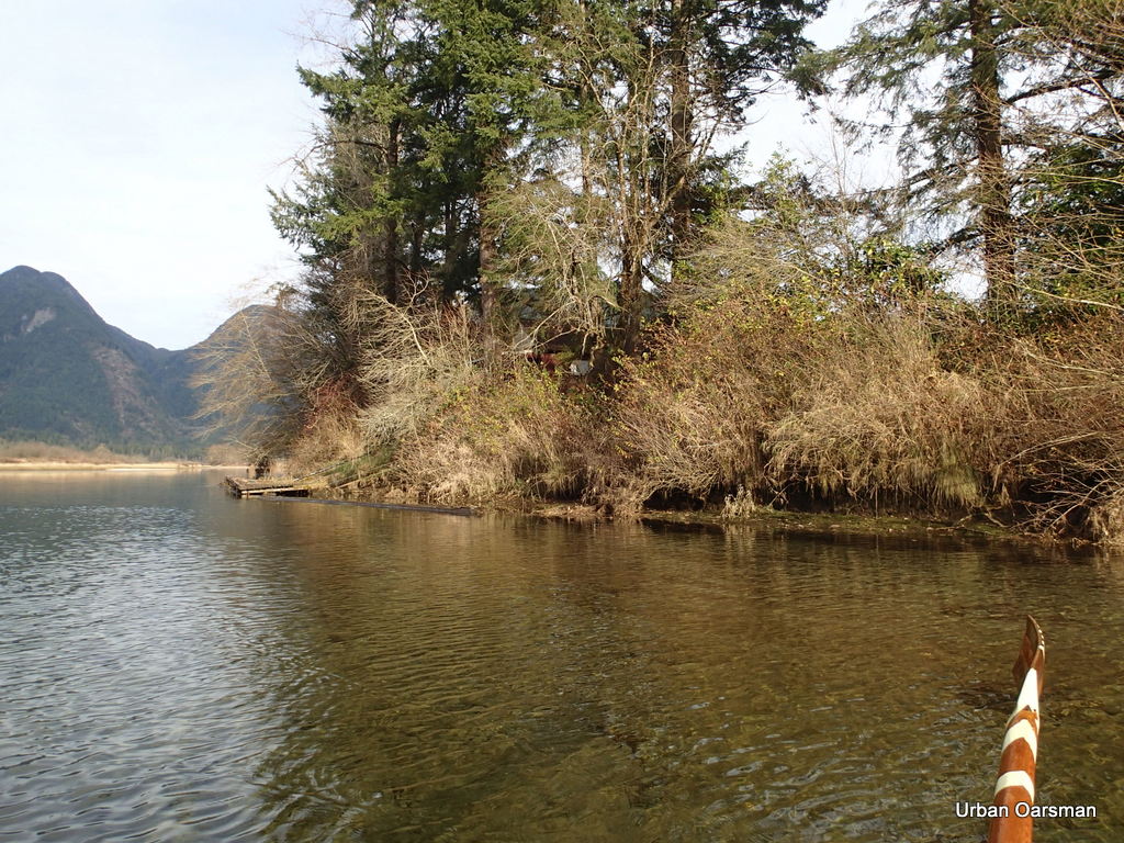 Leaving the “No Trespassing” cabin and float behind.
 Widgeon Slough now has enough water to navigate, but, I do not have the time left before dark to circumnavigate Siwash Island.
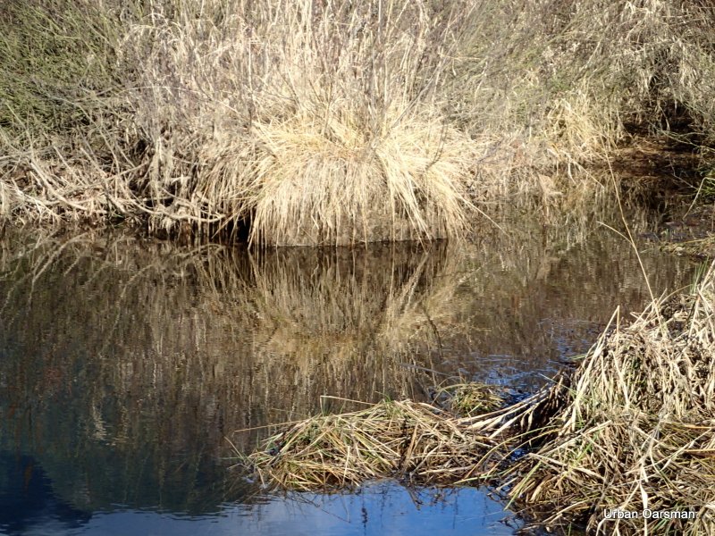
A final tree reflection picture.
 Leaving the Widgeon Creek channel to cross the Pitt River. The tide is still incoming.
 The current here is pushing me up river at just under a knot.
 Grant Narrows Boat launch, ahead, in the distance.
 Approaching the dock. The aluminium boat to the right is now afloat.
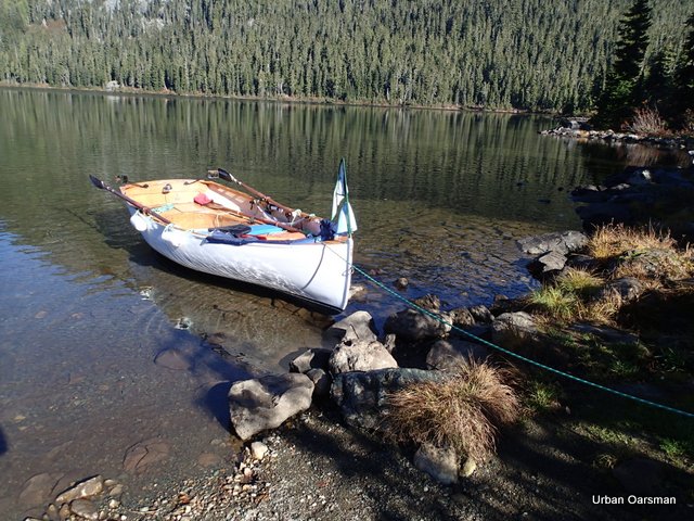
 Gwragedd Annwn at the dock. Time to get the FJ and the trailer, load her up and take her home.
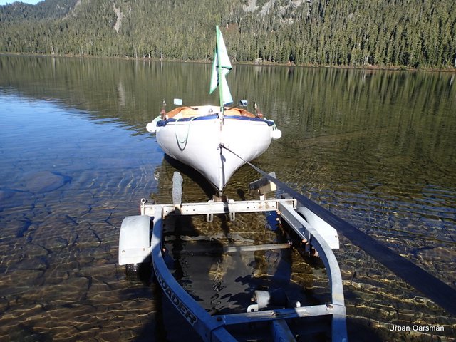
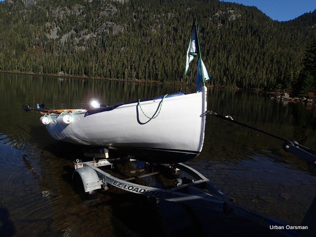
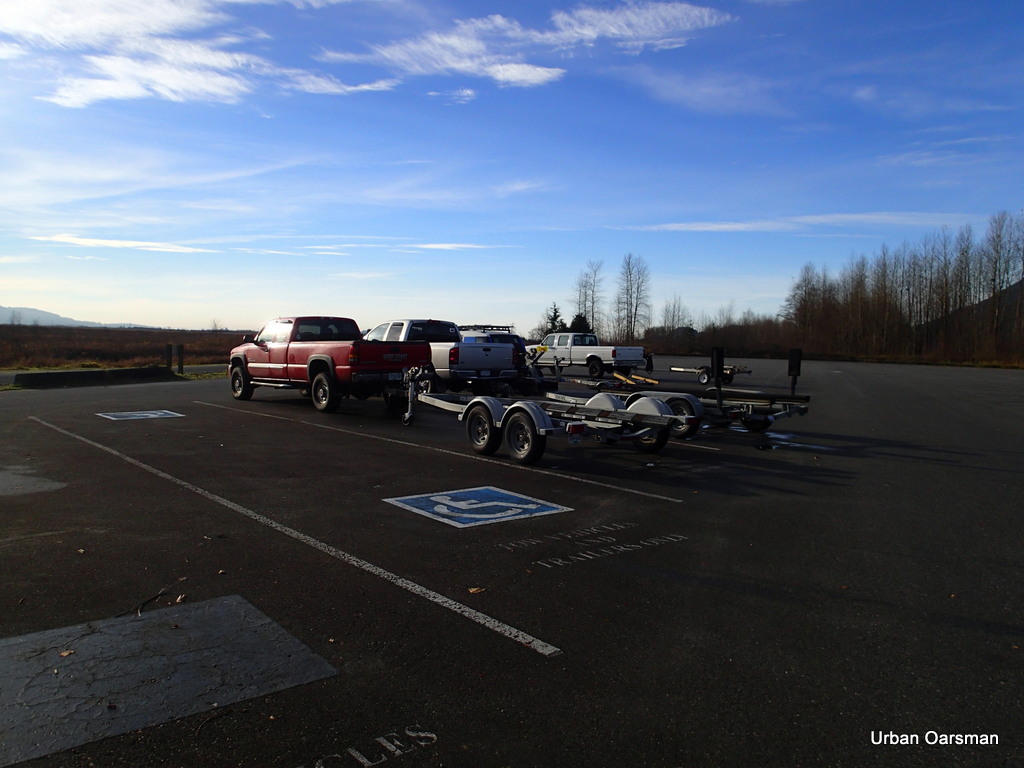
 At the tie-down area, all secure and ready to leave. It is almost 3:00pm. I will be home before dark.
There is a lot to explore at Widgeon Creek. In the future I hope to row in Katzie Marsh, Pitt Marsh, Homilk’um Marsh and Smohk’um Marsh, all accessible from Grant Narrows. I will have to adapt Gwragedd Annwn to be able to row or scull in narrow channels.
Happy rowing,
Mike
Posted in Under the Keel....
Comments Off on Return to Widgeon Creek, The Right Fork Taken.
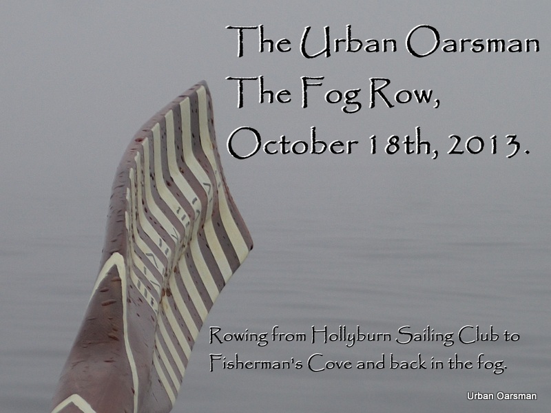
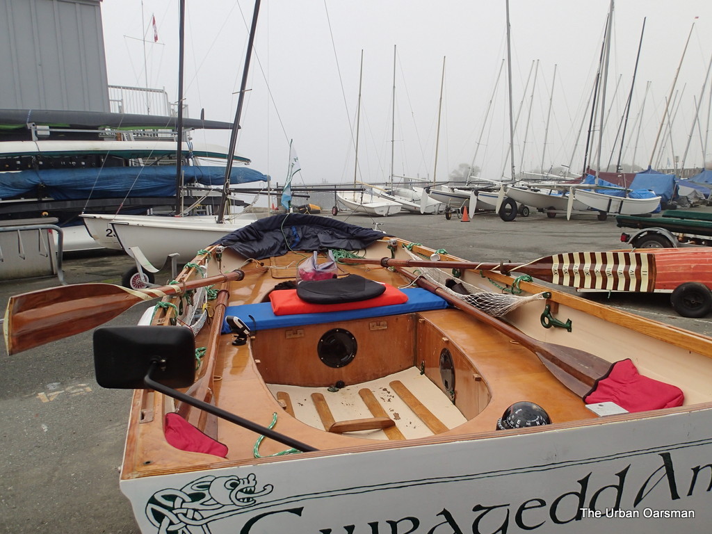
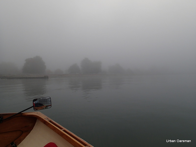
The Fog Row…Rowing from Hollyburn Sailing Club to Eagle Harbour and back in the Fog.
The Urban Oarsman rows from Hollyburn Sailing Club to Eagle Harbour in West Vancouver and back on a foggy day in October 2013. I arrive at HSC early on October 18th, 2013, rig the boat and am ready to hit the water by 9:30am.
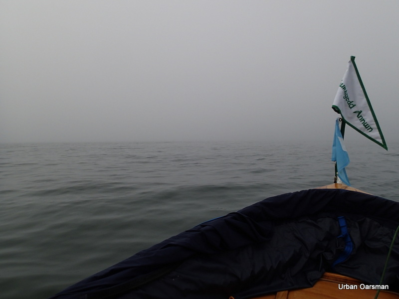
Gwragedd Annwn at HSC, leaving her space, ready to row to Eagle Harbour.
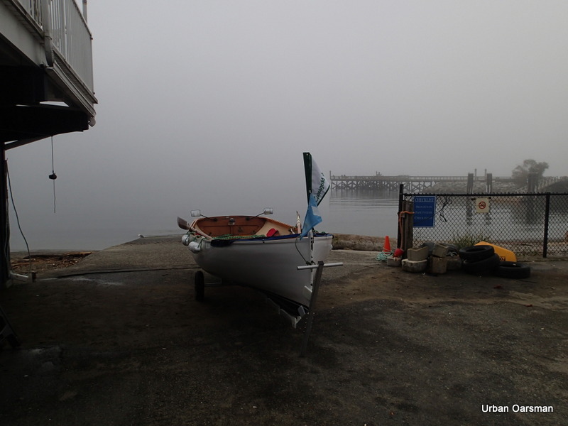
Gwragedd Annwn at the top of the ramp. I have signed out in the Club’s logbook. Should anyone look, there is a record of when I left and where I expect to go. There is no wind, the water is flat.
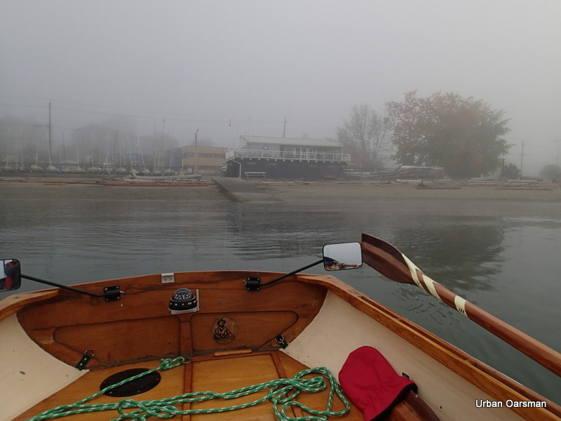
Hollyburn Sailing Club slowly vanishes into the fog astern of Gwragedd Annwn. I will head out from the club, go past the fishing pier and head West for Point Atkinson. As I have my GPS unit, I do not have to keep insight of the shoreline.
Not much to see looking South into the fog.
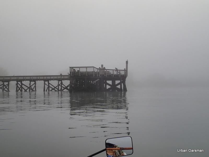
Ambleside Park vanishes into the fog.
Ambleside Park has faded into the fog and the Fishing Pier will soon fade into the fog too.
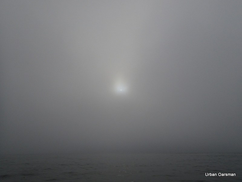
Is that the sun trying to burn through the fog?
This view is looking North at the West Vancouver shoreline. Nothing to see here.
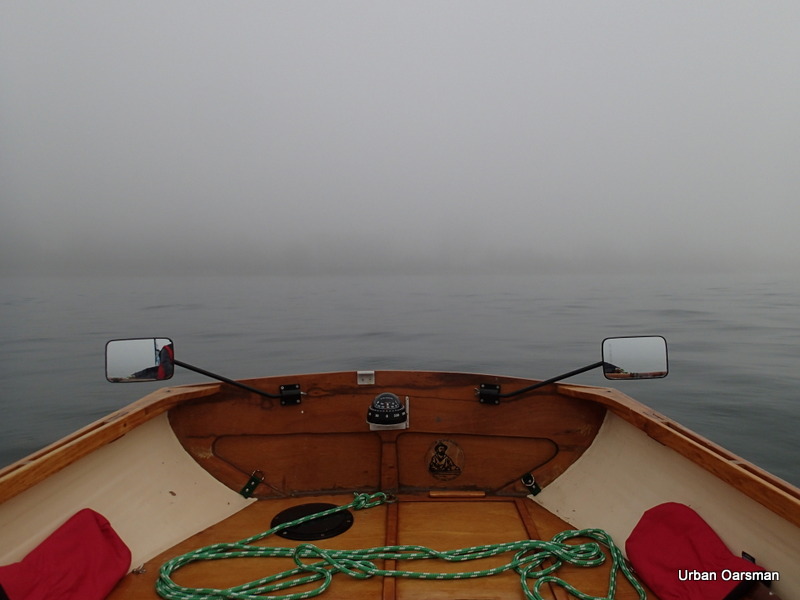
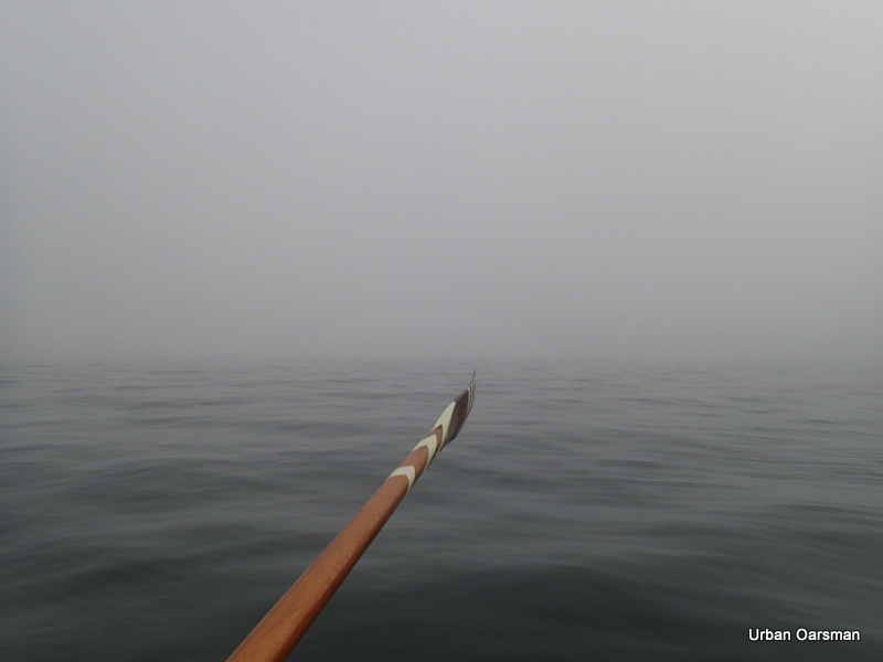
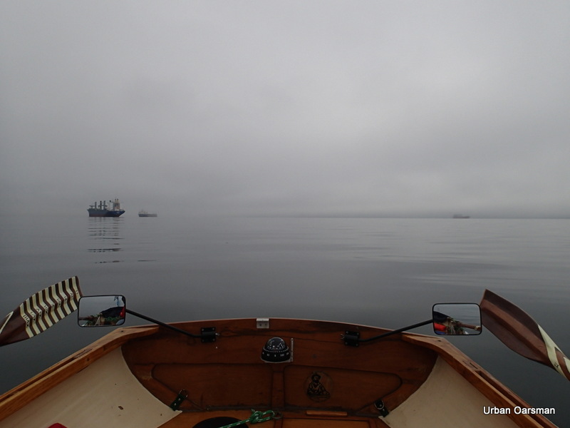
Nothing to see to the South in this fog. Good thing that I have my rowing compass. A rowing compass reads backwards, so it tells you the direction that you are heading in.
Drifting with the outing tide. The rowing compass reads South, the direction that Gwragedd Annwn is pointing. The direction that I am looking over the transom is North. Hence the direction read off the compass is the direction that I am heading in.
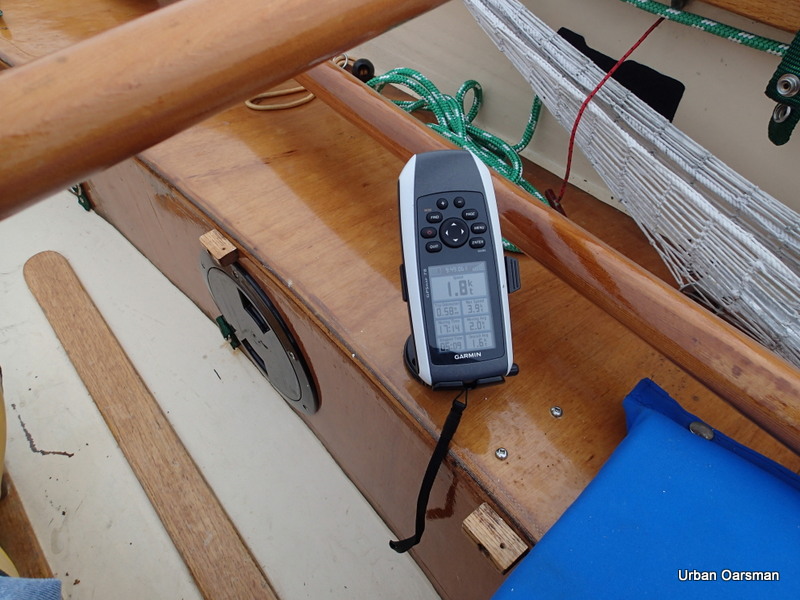
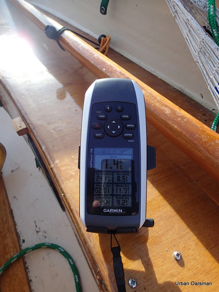
The GPS shows a 1.8 knot tide. With the calm and the fog, you do not know that you are moving.
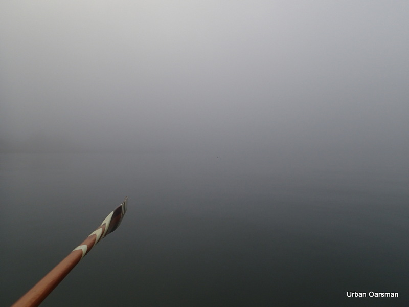
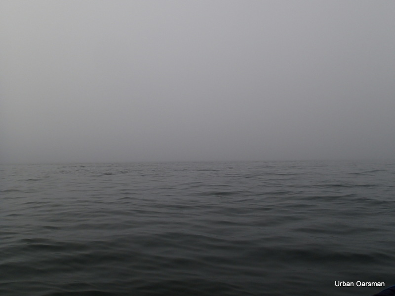
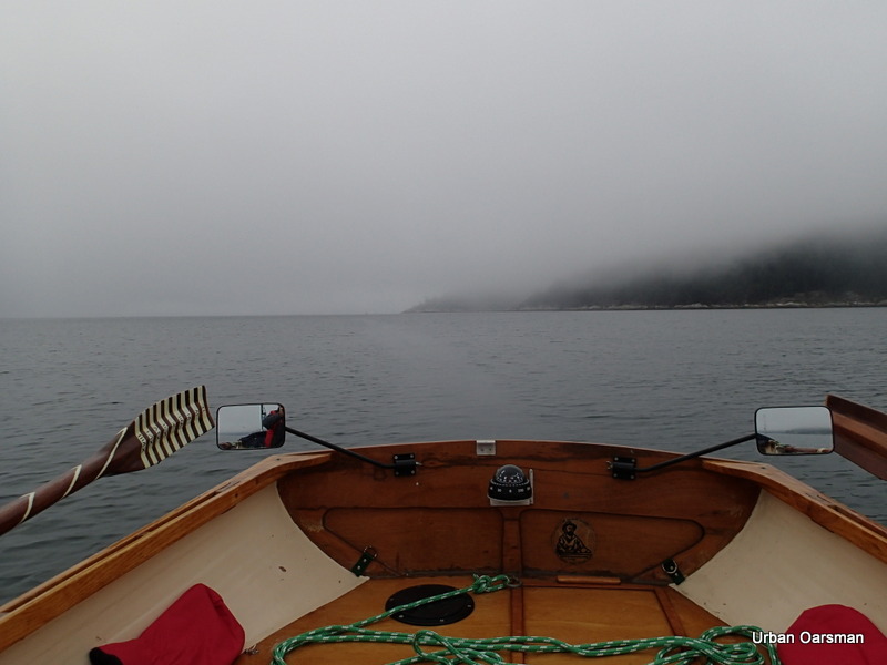
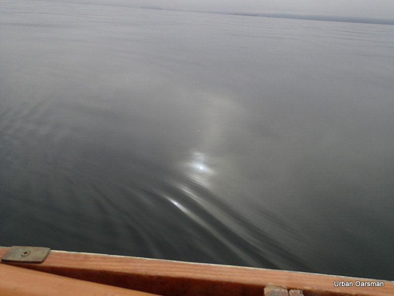
Nothing to see looking West. Right down on the deck the visibility in the fog is quite good. The fog does not seem to come right down to the water’s surface. The fog seems to be twenty or thirty feet above the ocean’s surface. Good thing that I have my rowing compass so I can stay on course.
The water and the fog seem to become one in the distance.
The sun is trying to peek through again.
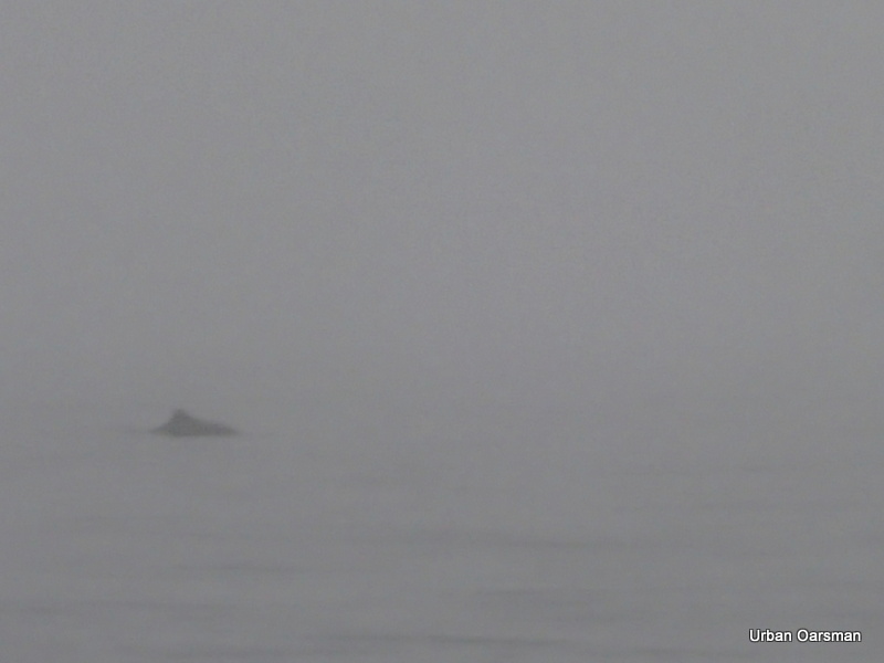
Dolphins pass by me heading into the harbour. They are almost gone by the time I get my camera.
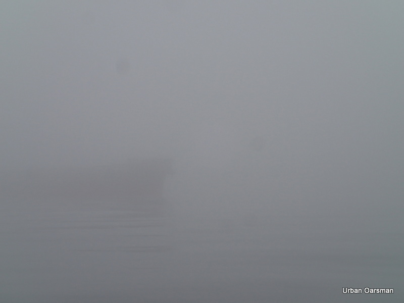
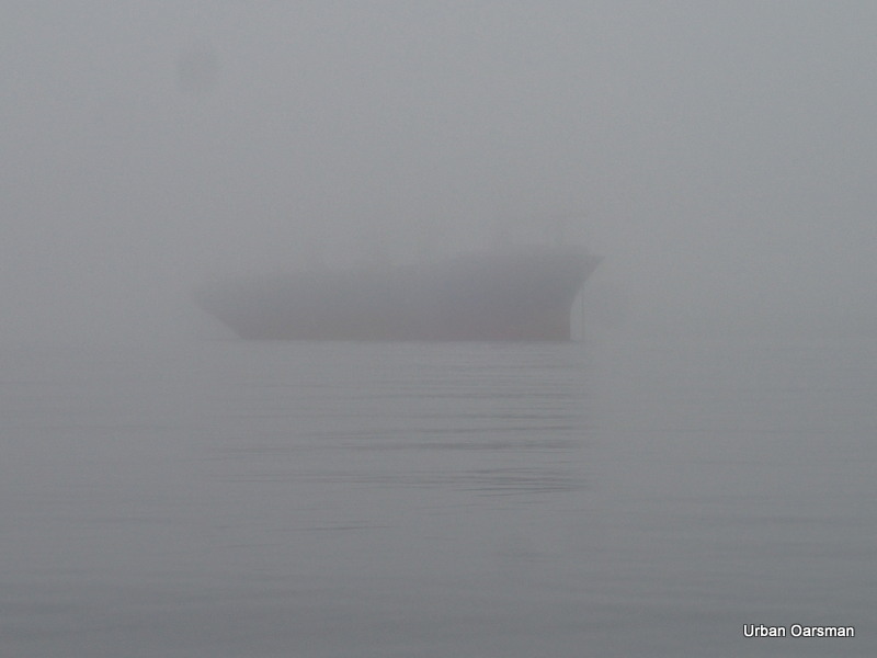
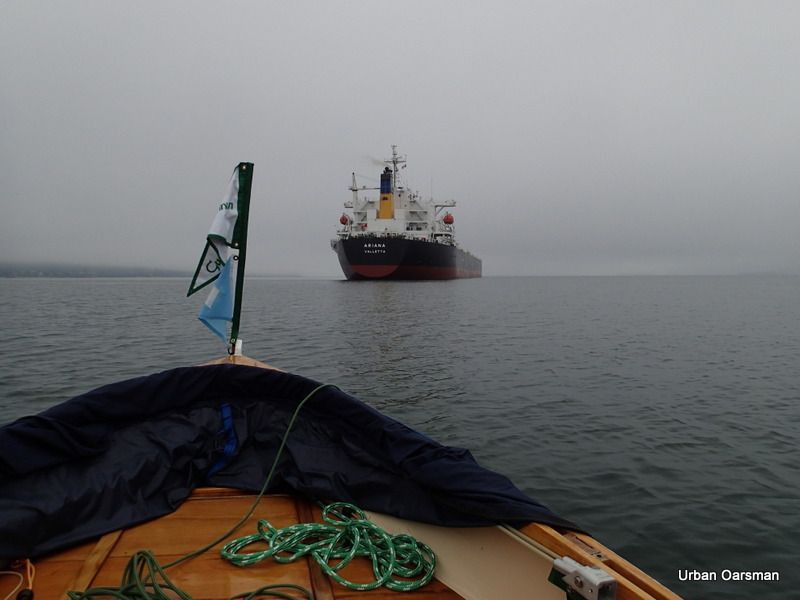
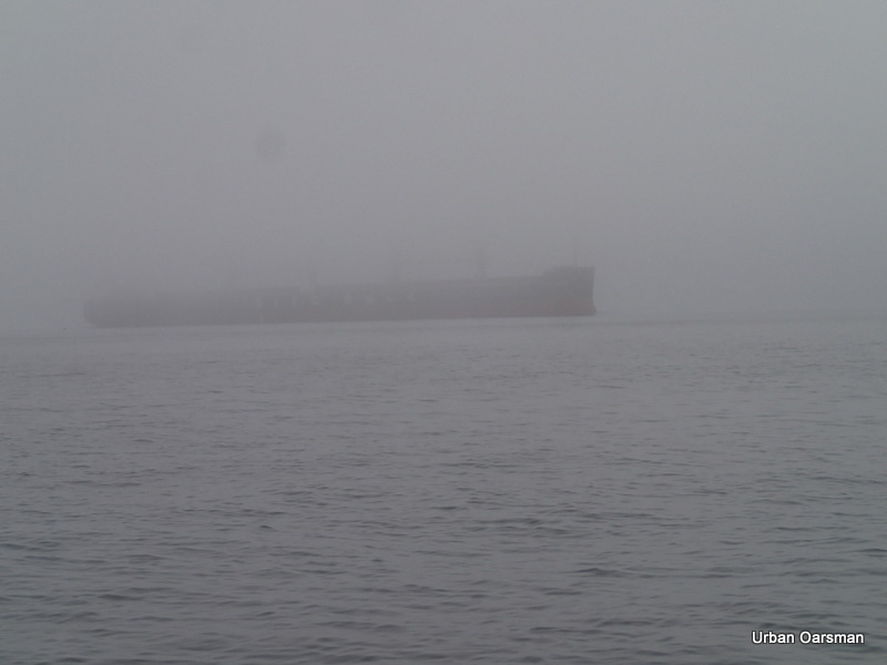
A freighter at anchorage #14 looms out of the fog.
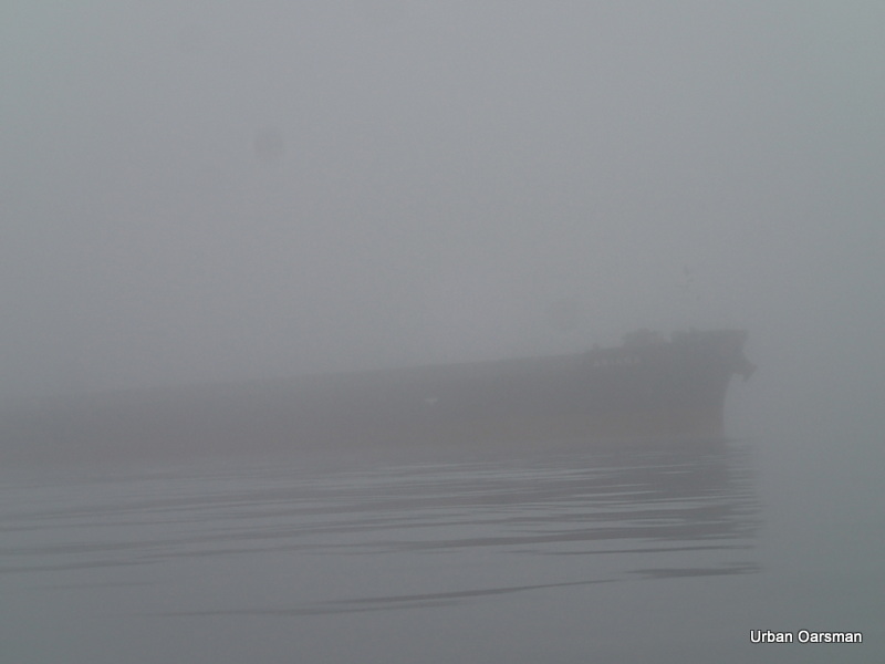
As I close I begin to make out her name…A…R…I…A…N…A. “Ariana”.
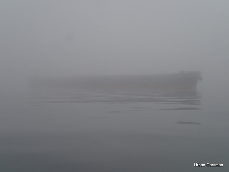
“Ariana” fades astern as the fog closes in.
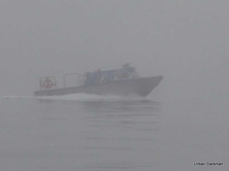
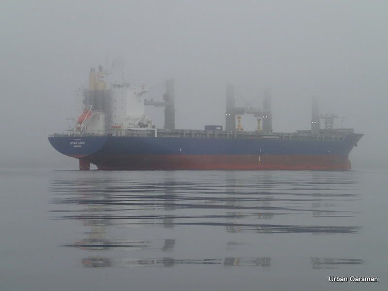
A Pilot boat speeds by. I listen to “Harbour Traffic” on channel 14. The freighter “Star Loen”, anchored at anchorage #15 is due to ship anchor and head into the inner harbour at 11:30am. The Pilot boat is delivering the Harbour Pilot to guide her in.
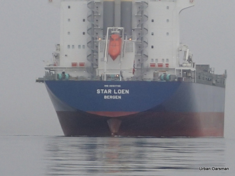
The “Star Loen” looms out of the mist as I row by Anchorage #15.
I hear the sounds of the anchor being raised as I row past from her.
Having dropped off the Harbour Pilot, The Crew boat speeds back,
The fog clears a little. I leave her astern.
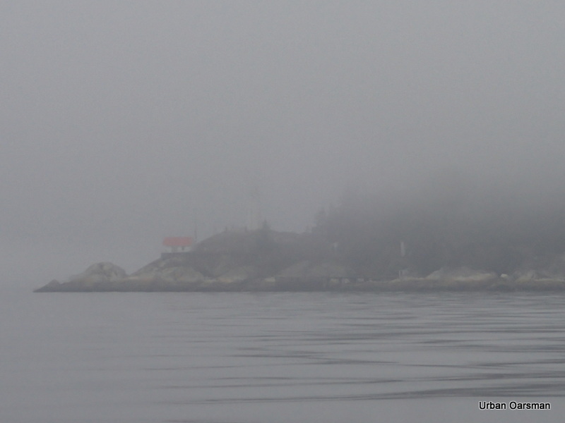
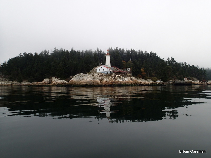
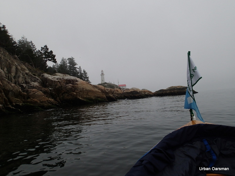
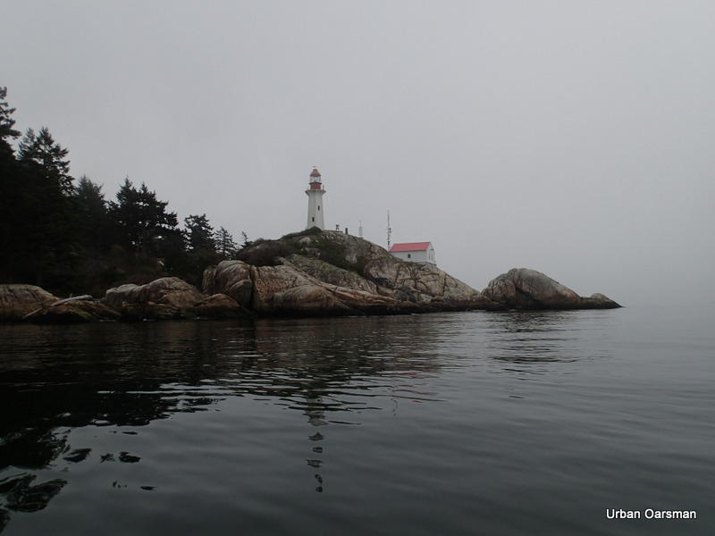
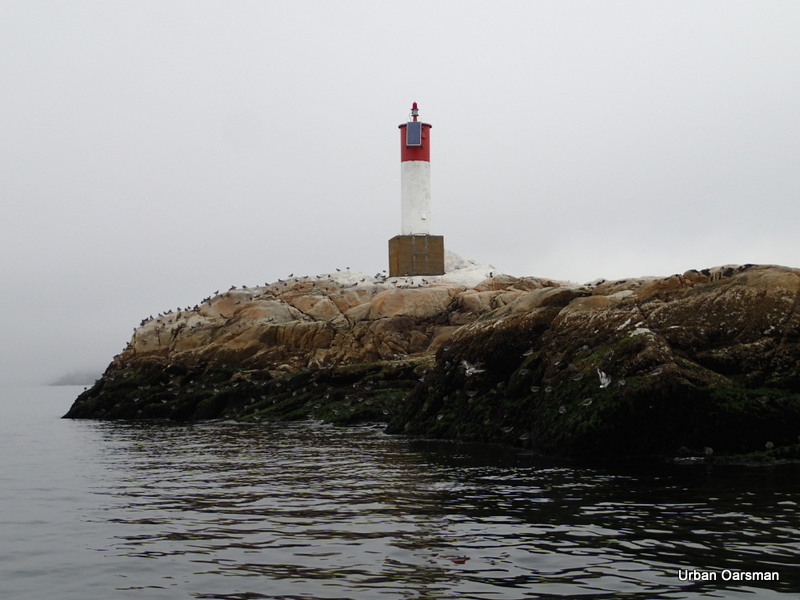
Point Atkinson Lighthouse in the fog.
 Reflection of the sun trying to burn through the fog.
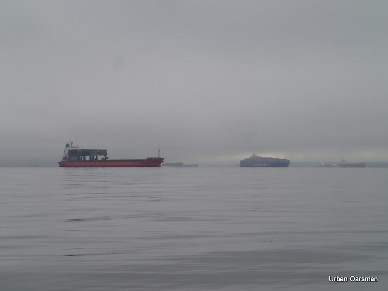
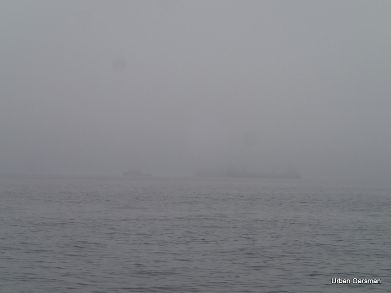
The fog lifts a little and I can see a few freighters and Point Grey across the harbour.
The “Star Loen” begins to get under way, heading for the inner harbour.
The fog is rising at Point Atkinson.
With her anchor up. the “Star Loen” slowly heads into the Inner Harbour.
As an empty freighter heads in, a loaded freighter heads out.
High fog or low clouds at Atkinson?
Final shot of the “Star Loen” heading in with her anchor raised.
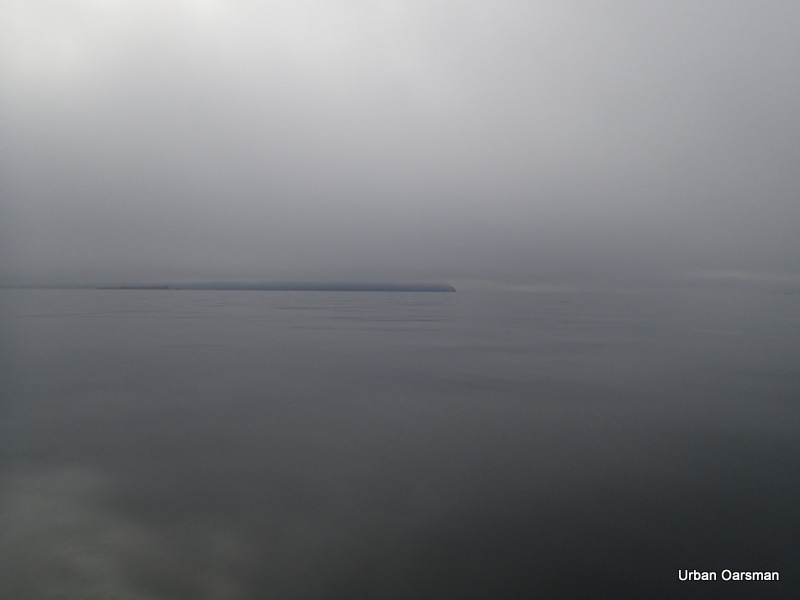
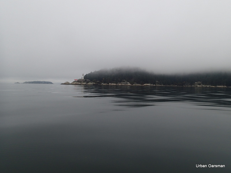
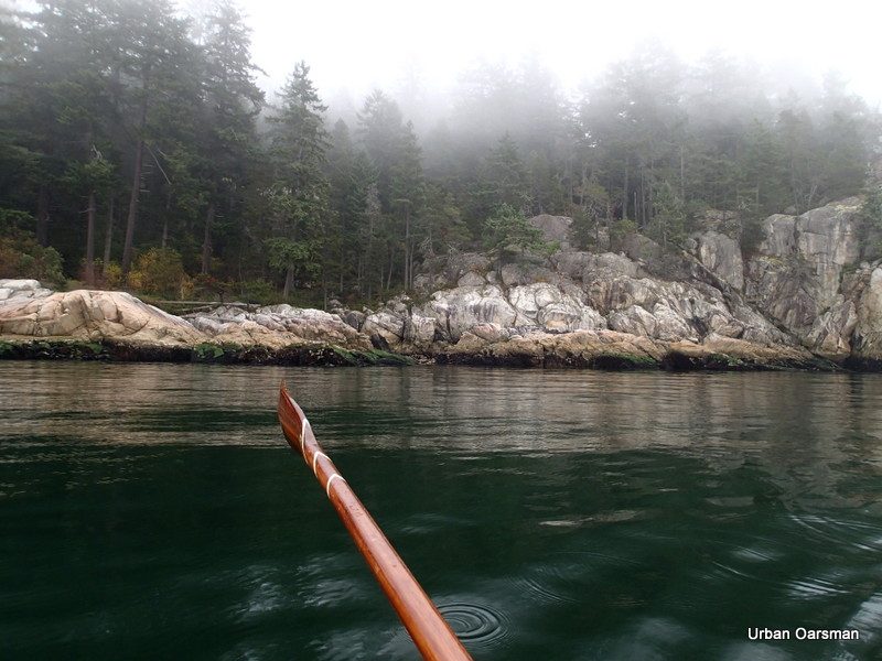
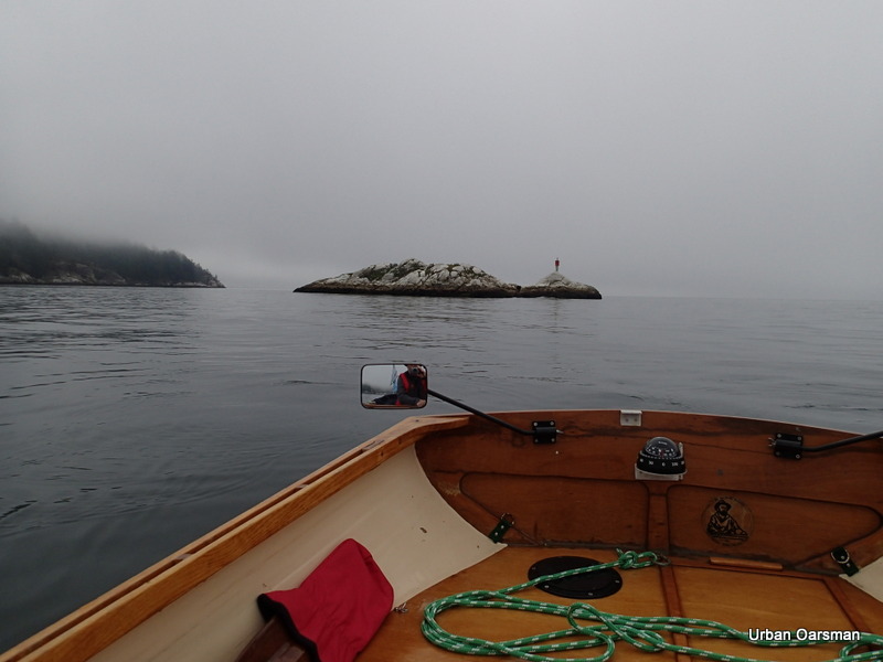
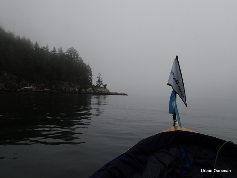
Fog in the trees as I enter Howe Sound.
A grey day for rowing.
Passing Lighthouse Park heading up Howe Sound.
Grebe Islets in the fog. There are a lot of harbour seals here and boy can you smell them. From the aroma I would think that they eat a lot of fish… or at least a lot of fish remains come out of the other end. I stopped counting them at seventy. This islet rises 7 meters above the water.
The Grebe Islet light. The islet was festooned with plover birds looking for food.
I row on, leaving Grebe Islets behind.
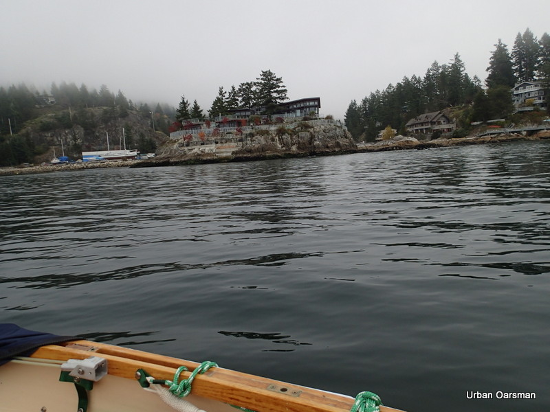
The Big House on the un-named islet West of Eagle Island. There is only one house on the Islet.
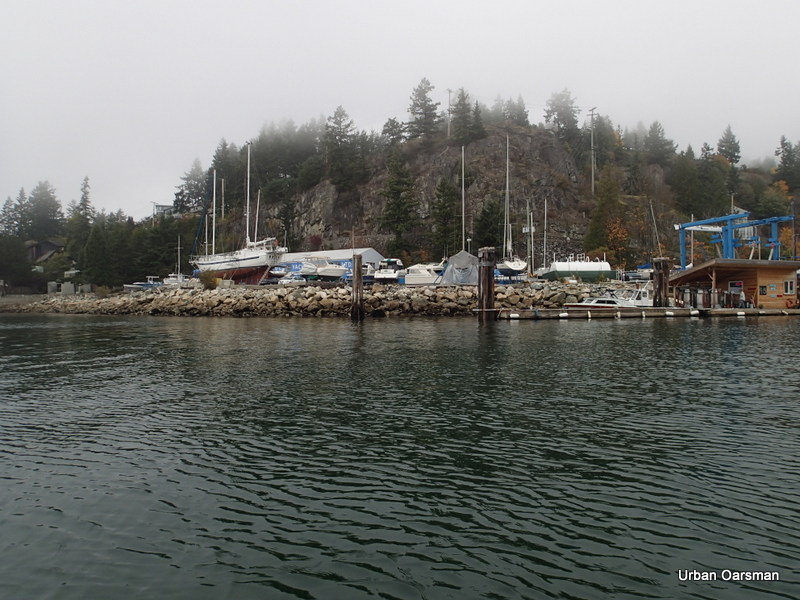
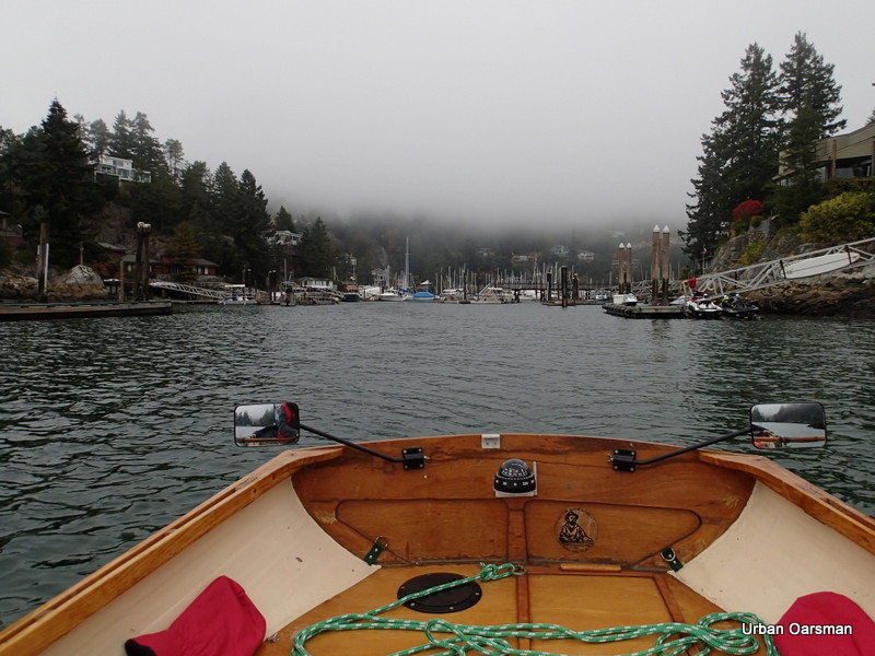
Entering Fisherman’s Cove. Race Rock Yacht Services is to the left on the shore.
Close-up view of Race Rock Yacht Services.
A larger clinker inboard on the shore of Eagle Island. She is named Katie Brock. The last time I saw her here was in October of 2008.
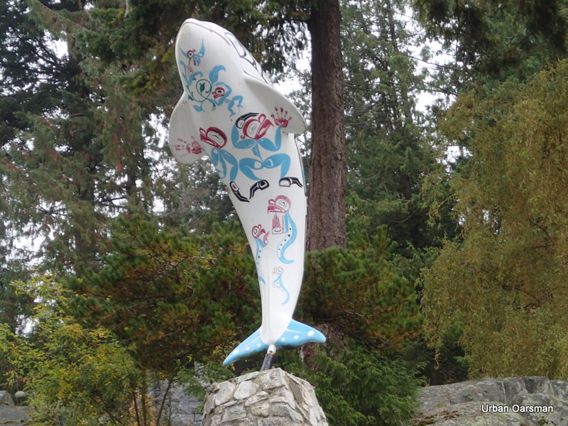
One of the “Lions Club” Orcas is on the Island.
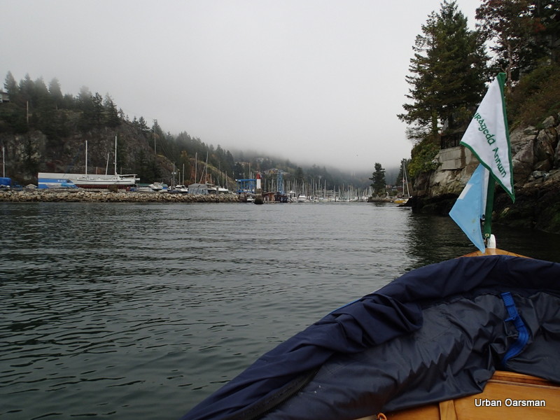
The passage between Eagle Island and the mainland.
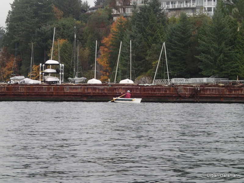
A fellow Oarsman fishing by the Eagle Harbour Yacht Club breakwater barge.
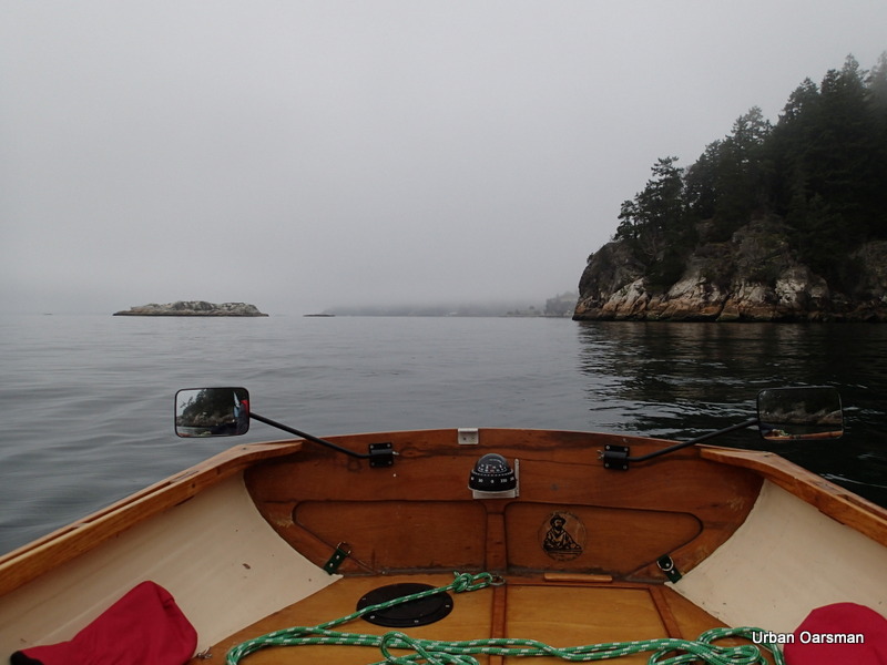
Rowing back to Point Atkinson, I leave Grebe Islets and all of their seals behind.
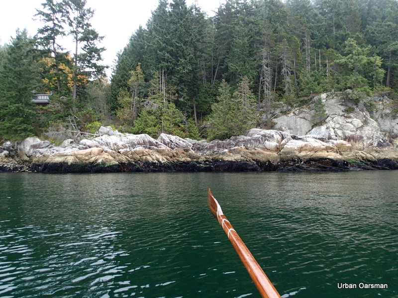
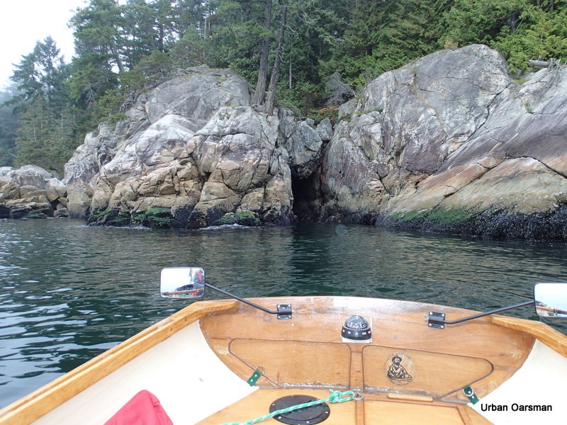
What is this? a passage through the rock to…?
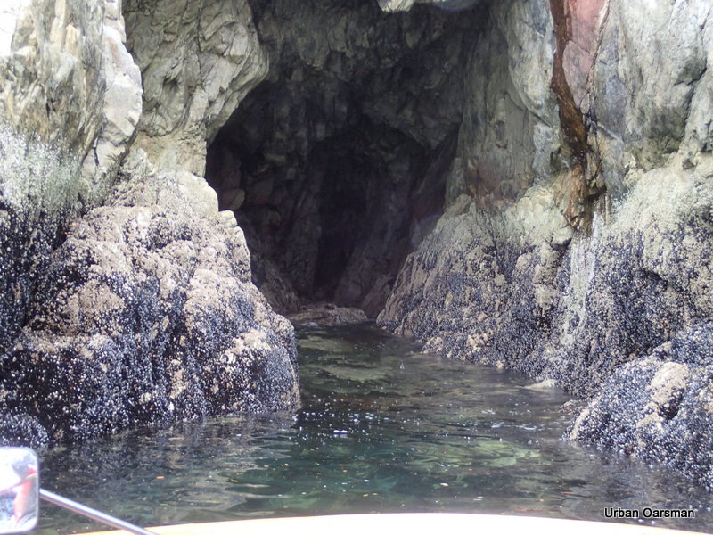
The channel is not wide enough for Gwragedd Annwn to enter. It does go thirty or forty feet into the cliff. Looking at the mussels, I would bet that I could row Gwragedd Annwn all the way in at high tide. I will come again, another day, at the height of the tide to try.
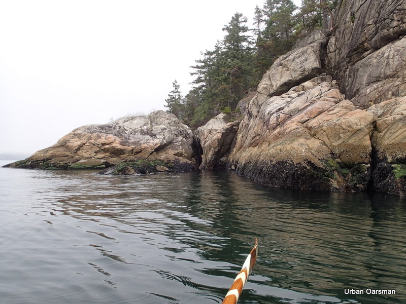
Another chasm splits the rock. too narrow to explore much.
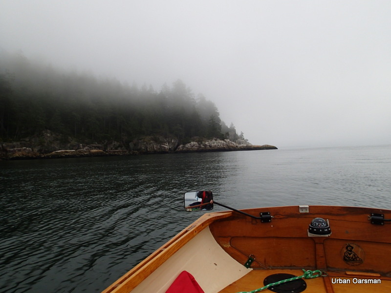
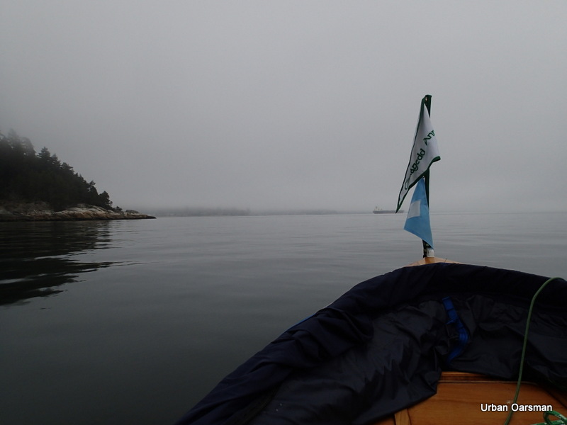
Almost to Point Atkinson. looks like the fog is still thick here.
Point Atkinson on the return trip. The fog is getting thicker as I enter the harbour.
Closing on the point.
Passing the lighthouse.
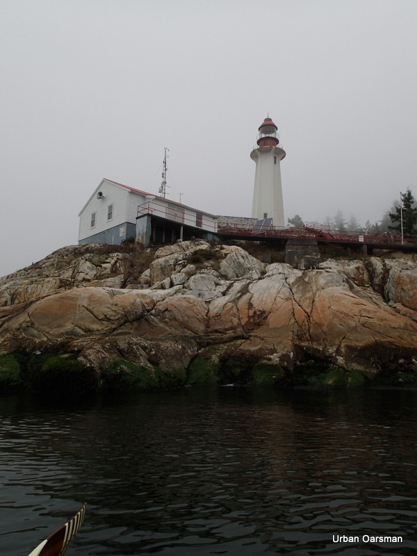
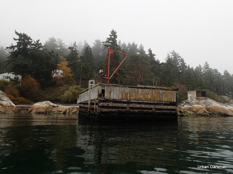
The supplies dock at Atkinson. Do not think that it is used anymore.
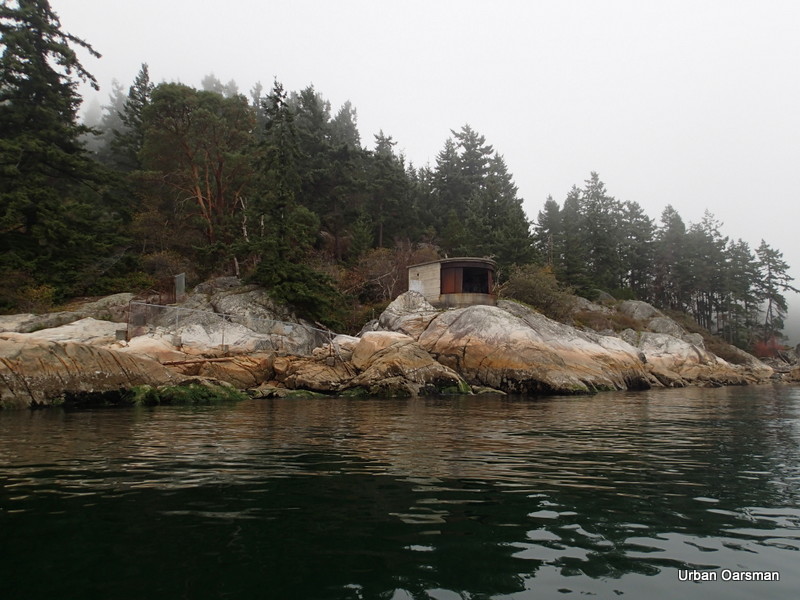
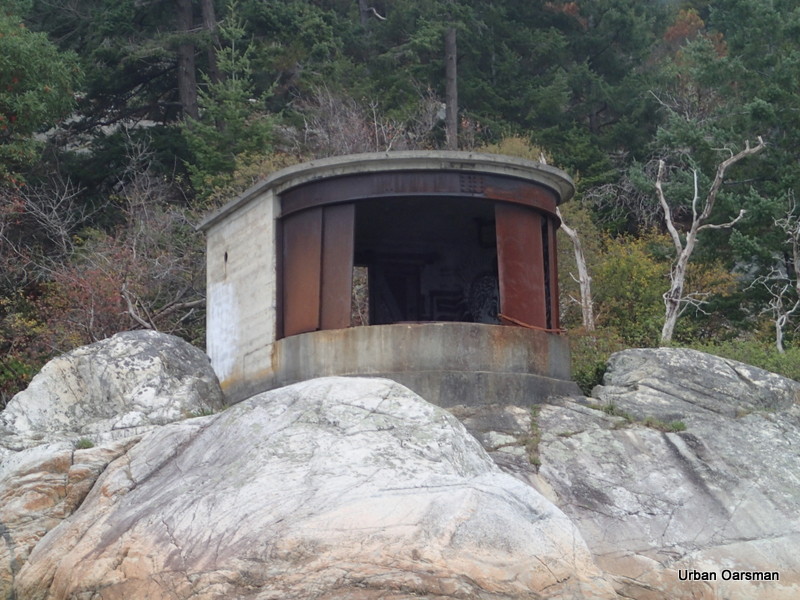
The search light bunker at Atkinson.
Close-up view of the search light bunker. There are three others around English Bay just like it. One at Stanley Park by Siwash Rock and two on the beach at Point Grey.
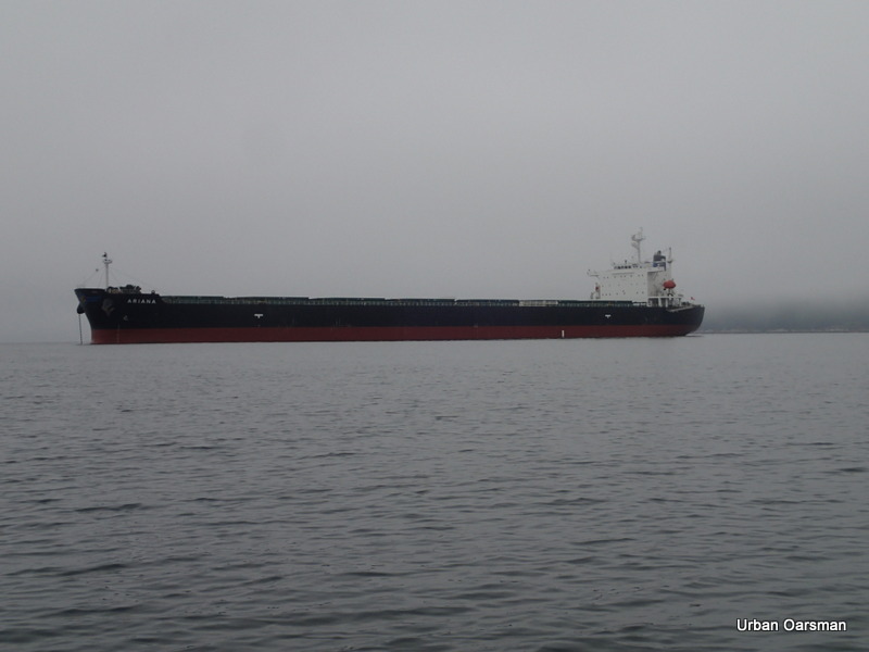
A clear view to the freighter at Anchorage #14 She is the “Ariana”. I passed her on the way out.
Point Atkinson is fogging in again. Gwragedd Annwn’s wake trails to the horizon.
Coming up on the “Ariana”.
Passing the “Ariana”.
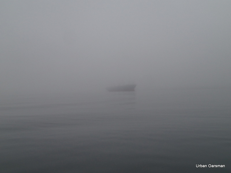
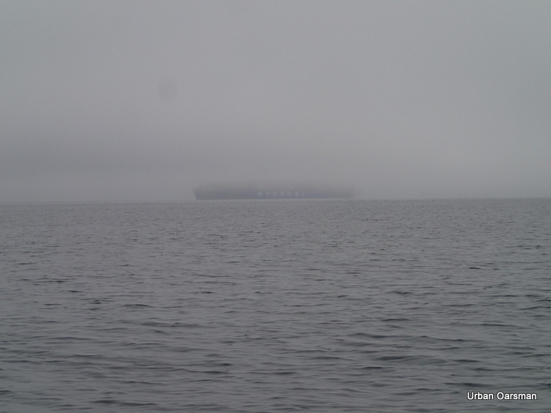
Another freighter looms out of the fog heading into the harbour. I knew that she was coming in from listening to “Harbour Traffic” on channel 14 on the VHS radio.
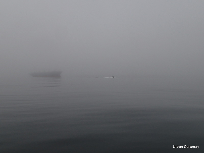
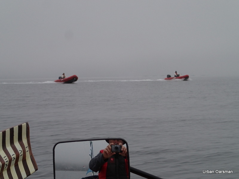
I do not know who these guys are or where they are from. Their rubber ducks said “APSA” on the bow. The ducks are red like Coast Guard Boats, but, they did not say “Coast Guard” and the drivers were not wearing Coast Guard Gear. They just zoomed by heading West.
 A tug and her tow enter harbour in the inbound shipping lane.
 A freighter leaves the Inner Harbour, in the outbound shipping lane.
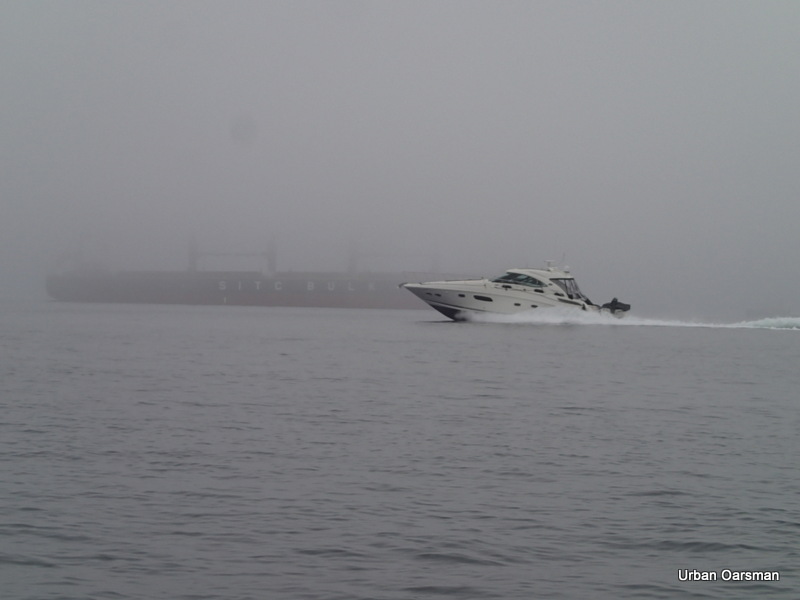 A power boat speeds by as the freighter leaves.
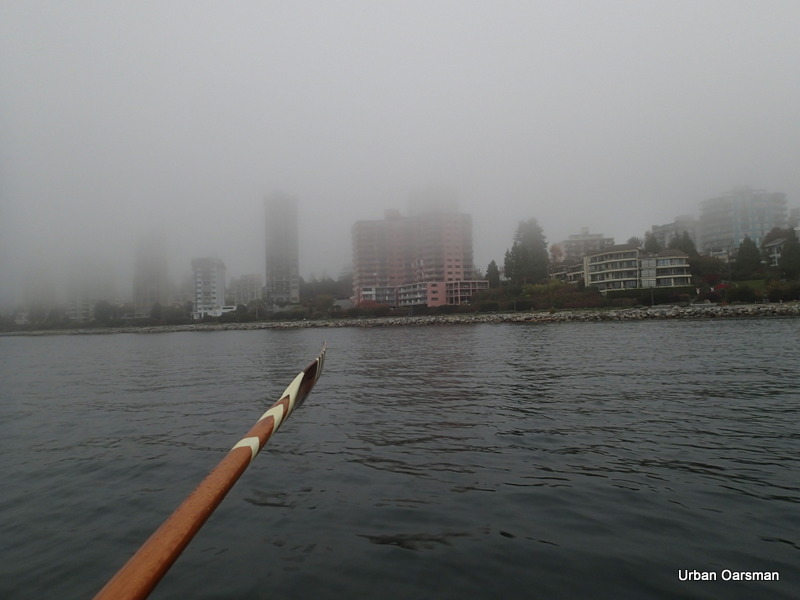
The famous “Pink Building” in the fog. A West Vancouver Landmark.
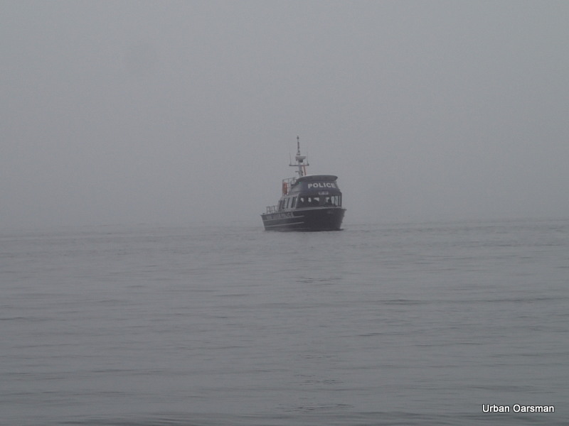
As I am derigging Gwragedd Annwn on the HSC launching ramp, the police boat appears out of the fog, heading for the Fishing Pier and the small dock attached to it.
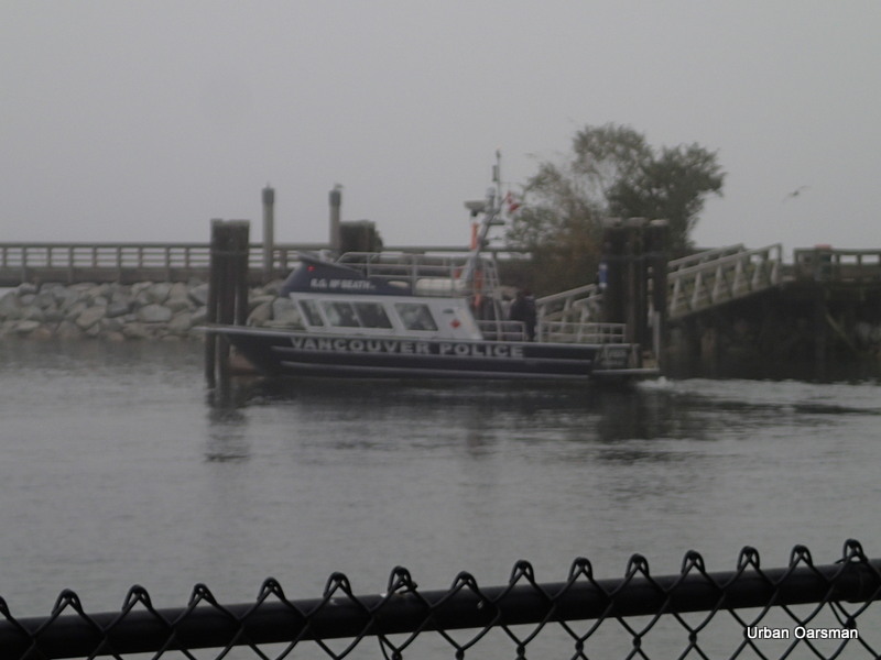
The R.G. McBeath stopped by the floating dock and some people came down and did some filming with her in the background. Just another day on Patrol, I guess. She then vanished southbound into the fog. I finish derigging Gwragedd Annwn, put on her cover and put her back into her spot.
The Urban Oarsman…The Fog Row.
Happy rowing,
Mike
Happy rowing,
Mike
Posted in Under the Keel....
Comments Off on The Fog Row…Rowing from Hollyburn Sailing Club to Eagle Harbour and back in the Fog.
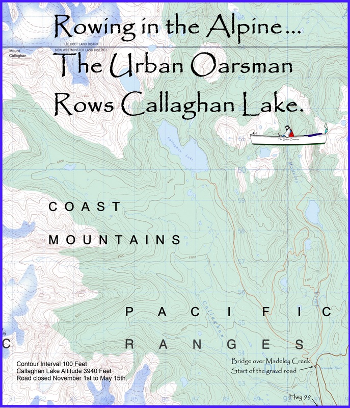
Alpine Rowing…The Urban Oarsman Rows Callaghan Lake
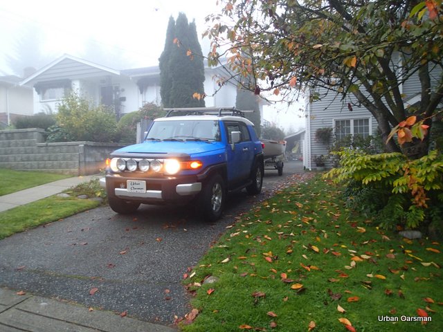
October 21st, 2013, 8:00am. I leave foggy North Vancouver for Callaghan Lake. The Forest Service road to Callaghan Lake closes November 1st, so this is one of the last chances that I will have to Row the Lake. The weather in North Vancouver has been foggy for a couple of weeks and still airs are best for rowing. The weather prediction is that the high pressure area that has kept us foggy will break down over the next week, so, this is the best day to go. I hope that still airs are at the lake.
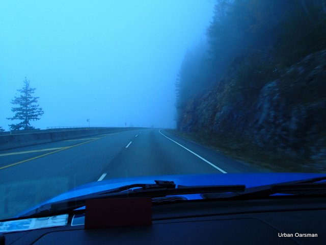
The drive up the Sea to Sky highway is foggy. Towing Gwragedd Annwn on her trailer, it will take me almost two hours to get to the Callaghan Lake Forest Service road. I will stop at the Starbuck’s just north of Squamish for coffee.
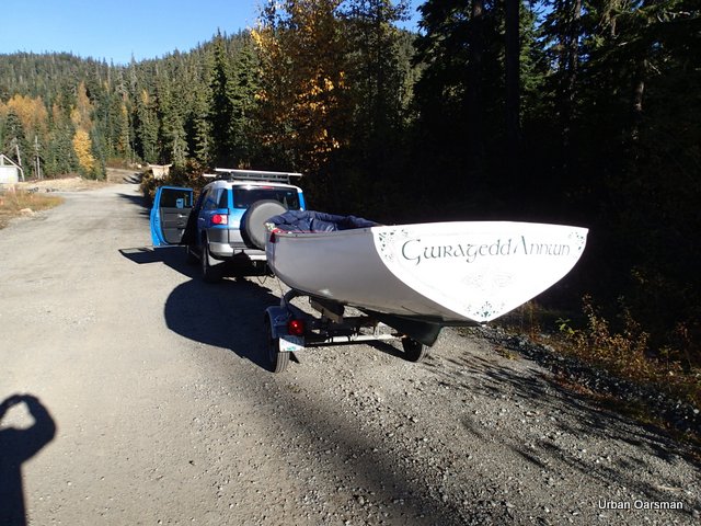 Gwragedd Annwn at the start of the Callaghan Lake Forest Service road. Everything seems O.K.
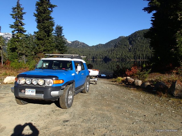 After a 45 minute crawl, 16.2 kilometres up the gravel road, we are at the boat launch.
 The boat launch at the Lake. Fortunately, Gwragedd Annwn on her trailer is quite light, and I can push the trailer over (all be it slowly in 4wheel drive low) the rocks and boulders on the boat launch.
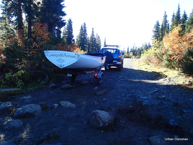
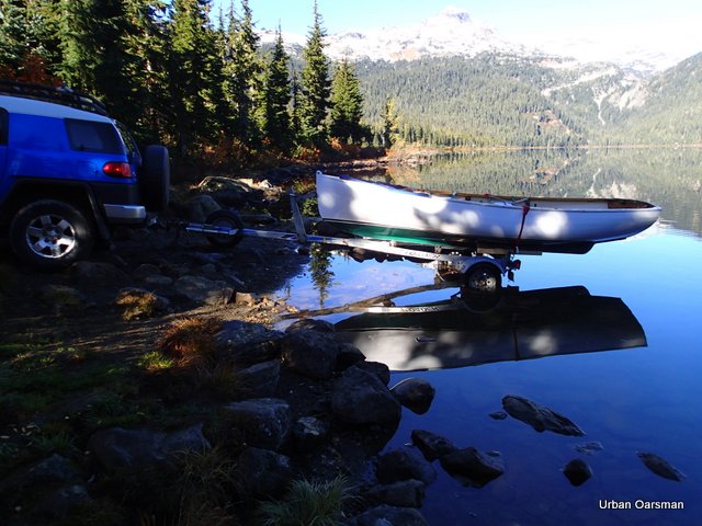 Only a little further and she will be in the Lake. Note the boulder by the rear wheel.
This is the bumpiest launch to date, but I am able to push the trailer over the rocks.
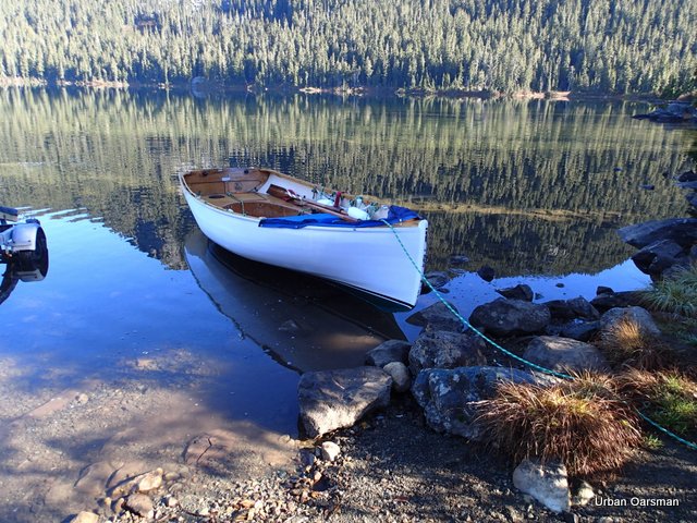 Gwragedd Annwn in the water beside the boat launch. Time to park the truck and trailer.
There is a ten horse power limit on engines on the lake. I have only ever seen canoes, paddle boards and kayaks on the lake…Nothing with an engine.
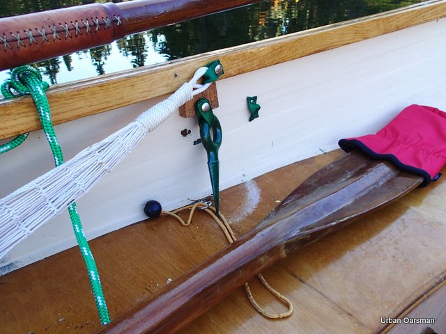 During the ride up the Forest Service road, the log dog came out of it’s holder and scratched the varnish off of the seat. A little varnishing back home will fix this. The oars also sustained some damage from bumping during the ride up. More varnishing required.
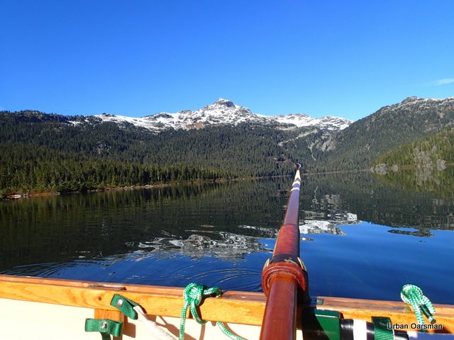 The view looking to the West while rowing North away from the boat launch. I believe this is Mt. Callaghan. There is no wind and the ripples on the water are from me rowing. It is so warm that I am wearing a tee shirt and life jacket to row in. A beautiful day to row.
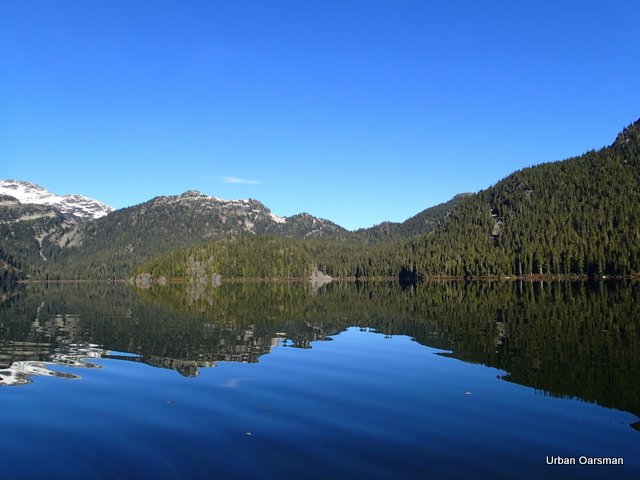 The view looking Northwest. Mt. Callaghan is out of frame, to the left.
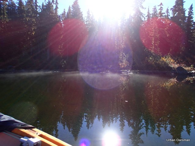 Just off the boat launch again, looking Southeast. Even though it is 11:30am, there is still mist on the South shore of the lake. The sun is warm but the air is still cool.
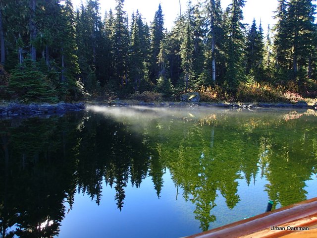 More mist on the Southeast shore of the Lake. You can really see the algae on the bottom of the lake where the reflection of the trees is.
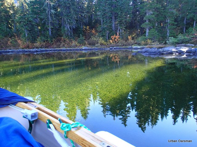 Another great view of the algae on the bottom of the lake. The water here is the clearest that I have ever rowed in. I do not know how far down you can see, but I would guess 30 to 40 feet.
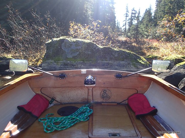 Lines on a rock at the shore. These are “Ice Lines” that are caused by floating ice rubbing against or freezing to the rock. The lines reflect different water levels over the course of the ice season.
Looking NNW along the East shore.
Another view through the clear alpine water to the algae on the bottom.
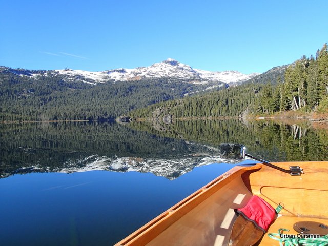 Tranquil reflection of Mt. Callaghan.
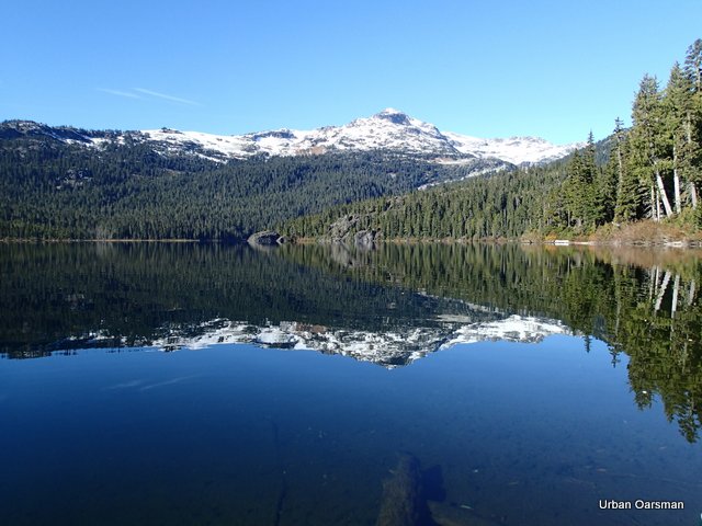 The morning was picture perfect. I could not reach/touch the log in the picture with an oar, making the log deeper than eight feet down.
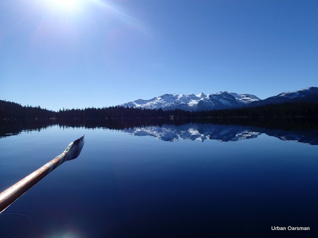 The view of the South shore of Callaghan Lake.
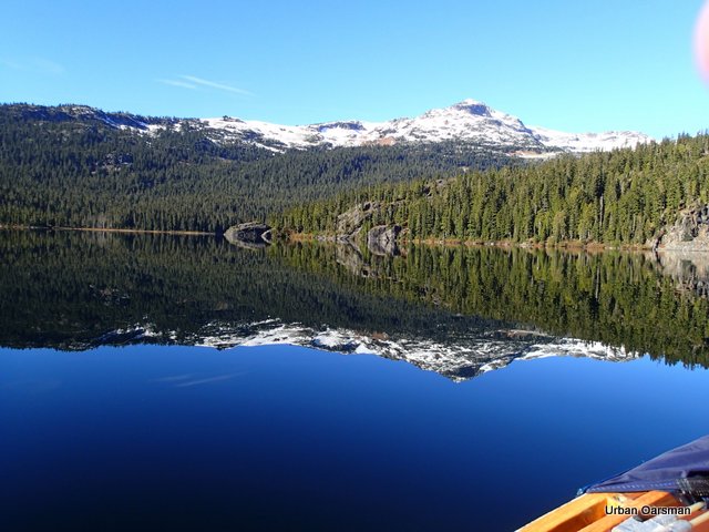 Mt. Callaghan again.
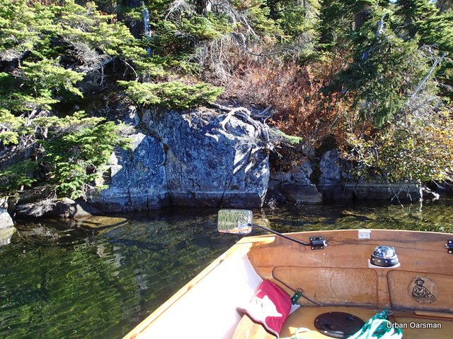 Northeast shore of the lake, showing more “Ice Lines”.
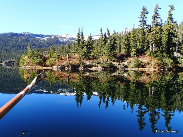 This is the “peninsula” that juts out from the North shore.
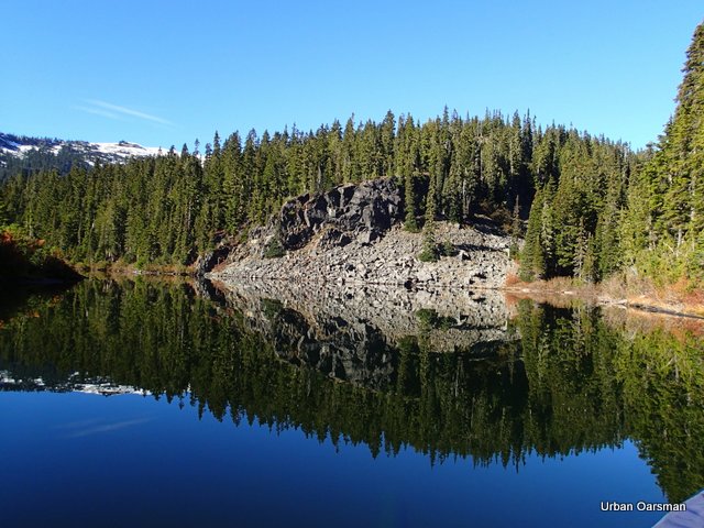 A scree slope goes into the lake.
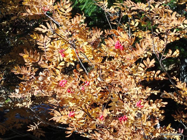 Mountain Ash berries?
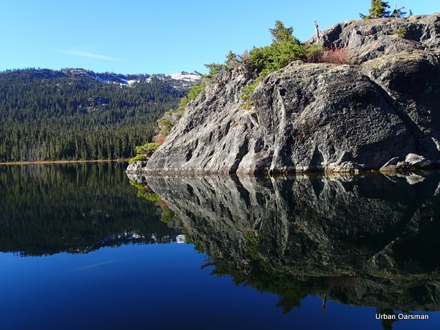 The tip of the peninsula.
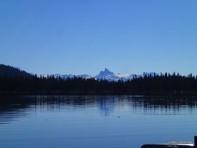 View to the South of Black Tusk.
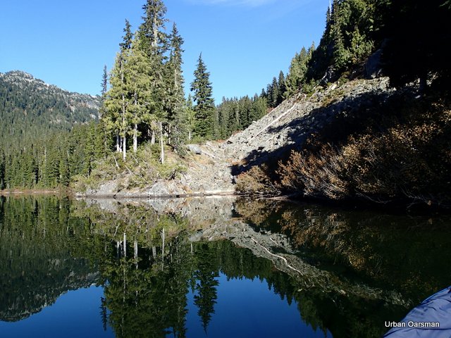 Almost around the peninsula.
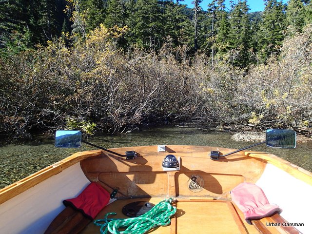 Northwest corner of the lake where Callaghan Creek enters. I am looking due West.
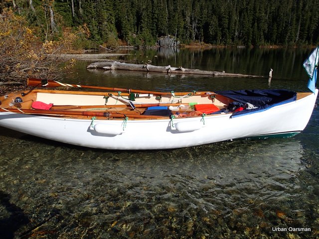 Gwragedd Annwn in the outflow of Callaghan Creek. The creek drains Cirque Lake from the
4915 foot altitude. I do not know if the lake has a name.
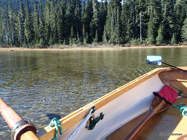 Rowing along the Western shore. Whereas the Eastern shore tended to have a steep drop-off, the western shore is much shallower, without a steep drop off.
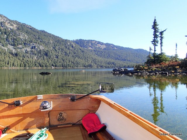 Shallow water and many rocks on the Southeast shore.
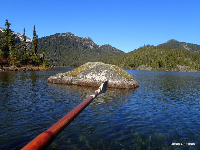 Big rock or small island?
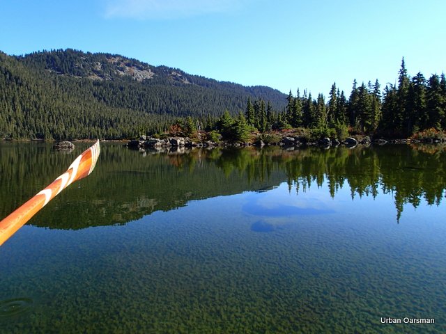 On the South shore, looking East.
The end of the small bay west of the Callaghan Creek outlet bay. More big rocks.
More big rocks or small islets. Still in the small bay west of the outlet bay.
South end of the outlet bay for Callaghan Creek.
Where Callaghan Creek flows out of the outlet bay.
East shoreline of the Outlet Bay, the boat launch is just behind the trees on the left of the picture.
Gwragedd Annwn ready to be hauled onto her trailer for the ride home. Callaghan Lake is three nautical miles around and it took me about two hours to explore the shore line around the lake.
Bringing Gwragedd Annwn onto her trailer. A very rocky boat launch ramp.
Halfway up onto the trailer.
Gwragedd Annwn is aboard and now to drive up the launch a bit to secure her for the trip home.
Gwragedd Annwn is ready for the trip home. To keep the oars from further damage, I have put them on the truck roof racks. All other loose stuff is secure in the FJ. Time to go home.
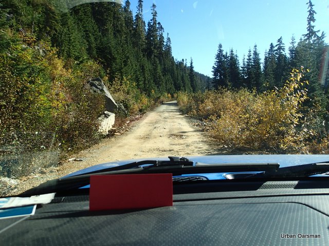 A good section of the gravel Forest Service road.
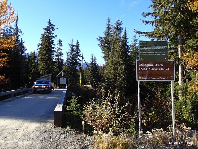 Forty-five minutes later I am at the road head. Now it will be pavement all the way home.
A picture perfect day for a prefect row.
The Callaghan Lake Forest Service road will re-open on or sometime after May 15th, 2014.
The Forest Service Road Opened on July 6th, 2013!
Happy rowing,
Mike
Posted in Under the Keel....
Comments Off on Alpine Rowing…The Urban Oarsman Rows Callaghan Lake